





































About the Collection
Professional Drones: Mission-Ready Aircraft for Inspection, Mapping, Public Safety, and Field Data Collection
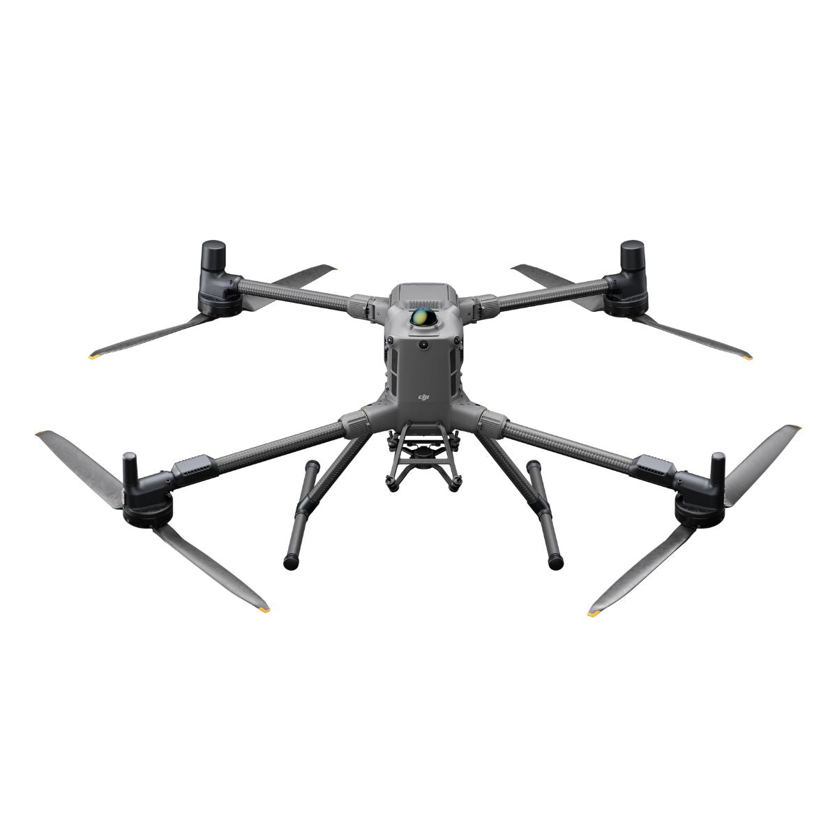
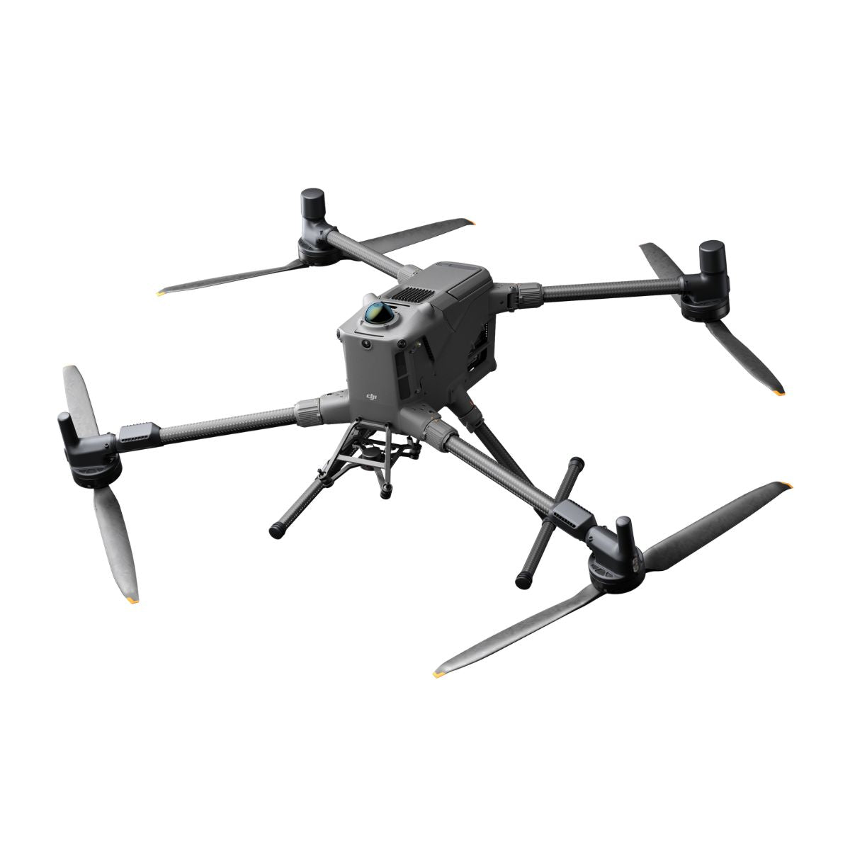
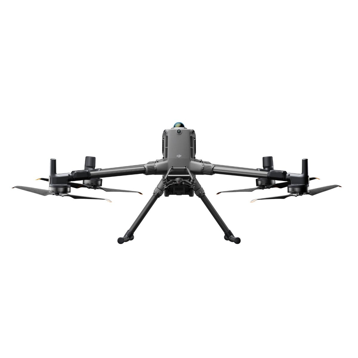
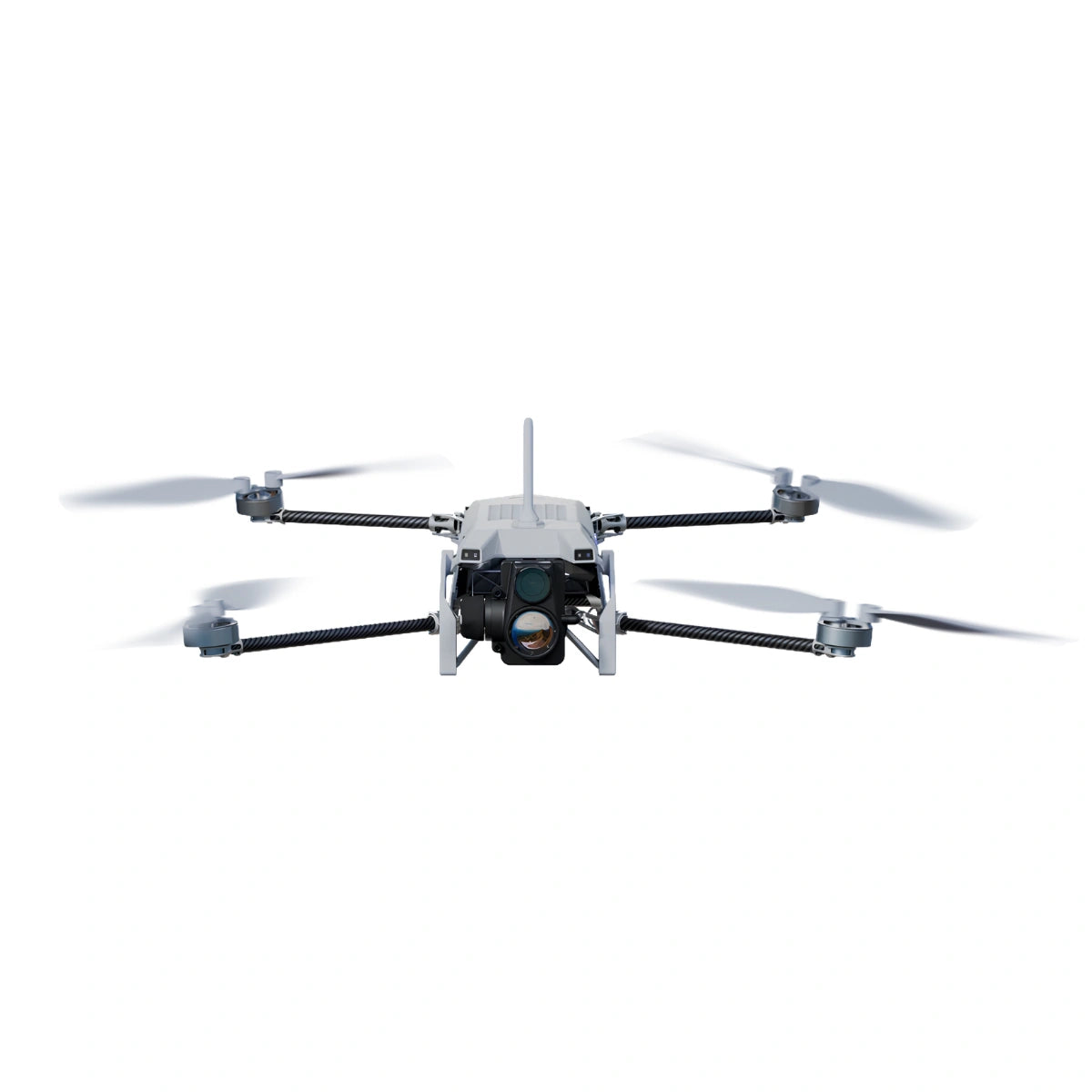
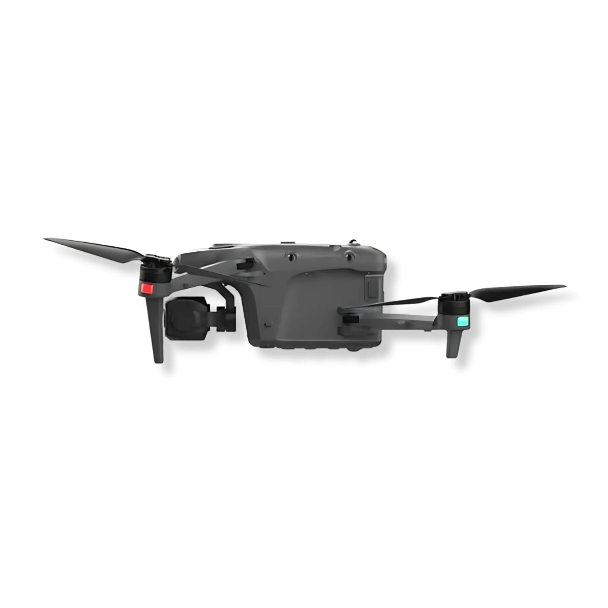
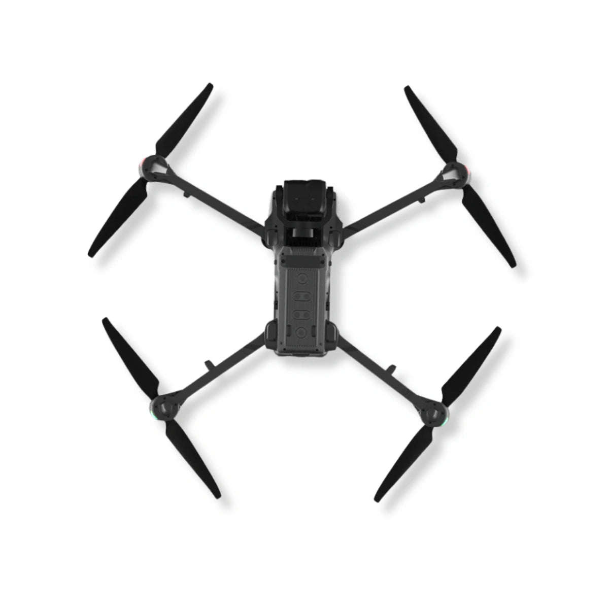
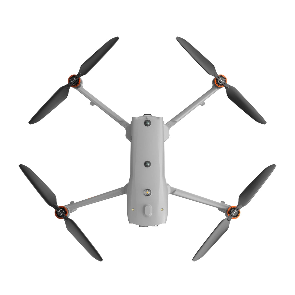
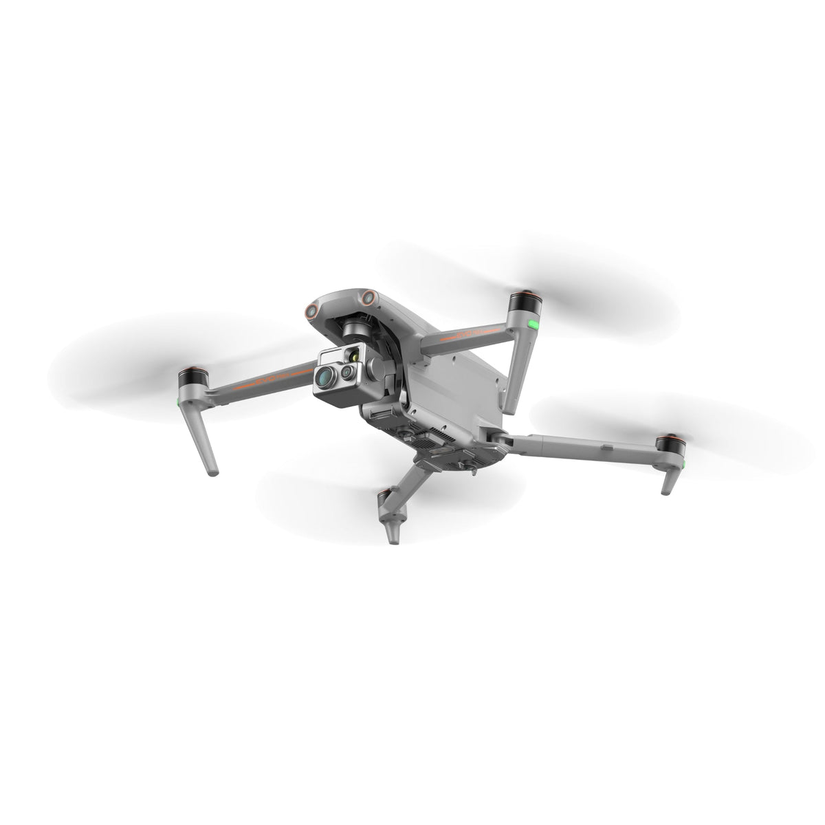
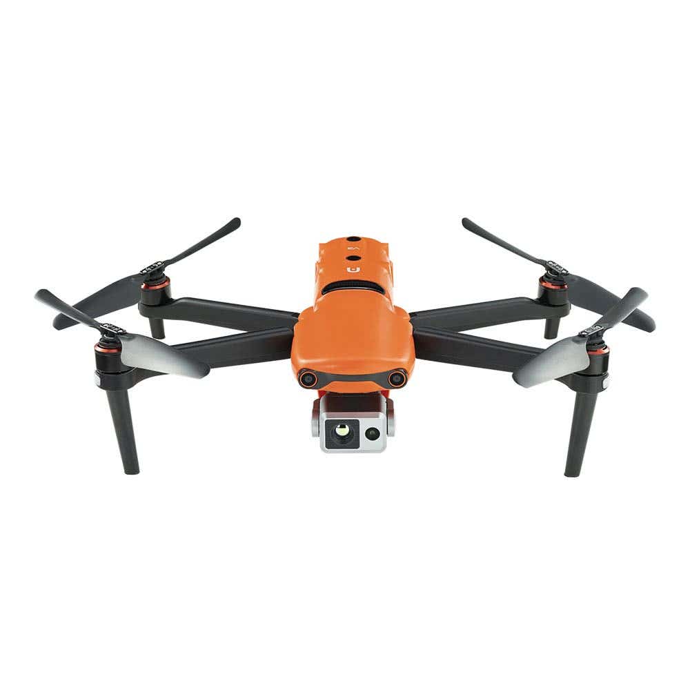
Professional drones are uncrewed aircraft built to carry cameras and sensors into places where ladders, lifts, and ground crews are slow, costly, or unsafe. This collection brings together enterprise multirotors, compact thermal aircraft, docked systems, heavy-lift platforms, agricultural sprayers, indoor inspection drones, and a smaller set of creator models, all supplied for operators who fly for work.
The common thread is data you can act on. A pilot launching for a roof inspection, a night search, a corridor survey, or a crop treatment needs an aircraft that reaches the target, holds position in wind, and brings back imagery or measurements accurate enough to make a call on site. Choosing well means matching endurance, camera architecture, weather protection, and compliance status to the job in front of you.
How a Professional Drone Turns Flight Time Into Usable Field Data
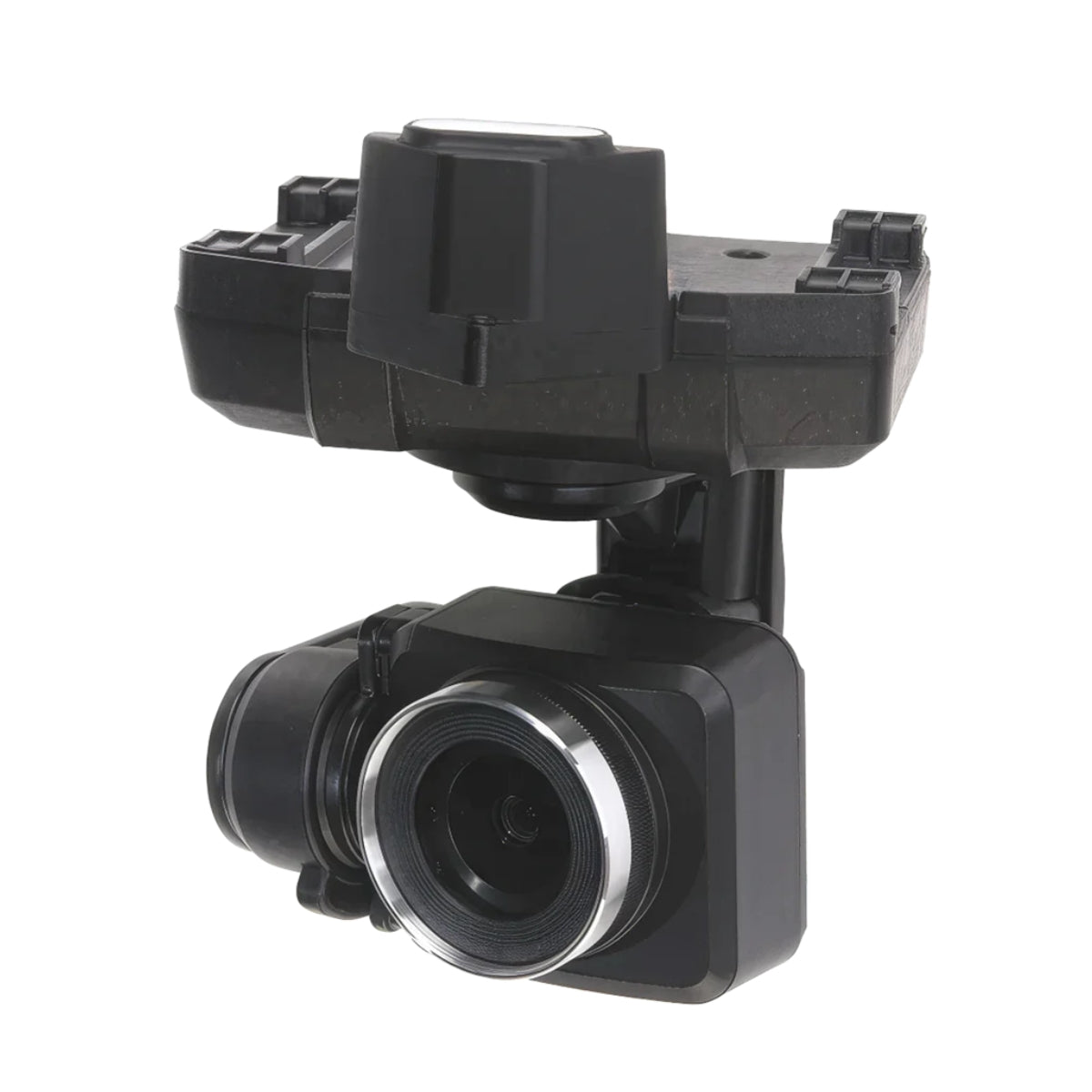
Every aircraft in this collection runs on the same basic chain. The flight controller combines satellite positioning, inertial sensors, and vision, LiDAR, or radar obstacle sensing to hold a steady hover and fly planned routes. A digital transmission link carries live video and telemetry back to the pilot's controller, while the onboard camera or sensor records the data the mission is actually about. Some platforms use an integrated camera system that is fixed to the aircraft and ready to fly out of the case. Others carry field-swappable cameras and sensors on a gimbal mount or quick-release interface, so one airframe can move between thermal, zoom, mapping, and LiDAR work. RTK positioning tightens accuracy for survey and repeat inspection flights. Docked systems handle launch, landing, and charging without a crew on site, and indoor inspection drones replace satellite positioning with LiDAR and visual odometry so they can hold position inside tanks, tunnels, and shafts.
Drone Brands and Platforms Stocked at DSLRPros
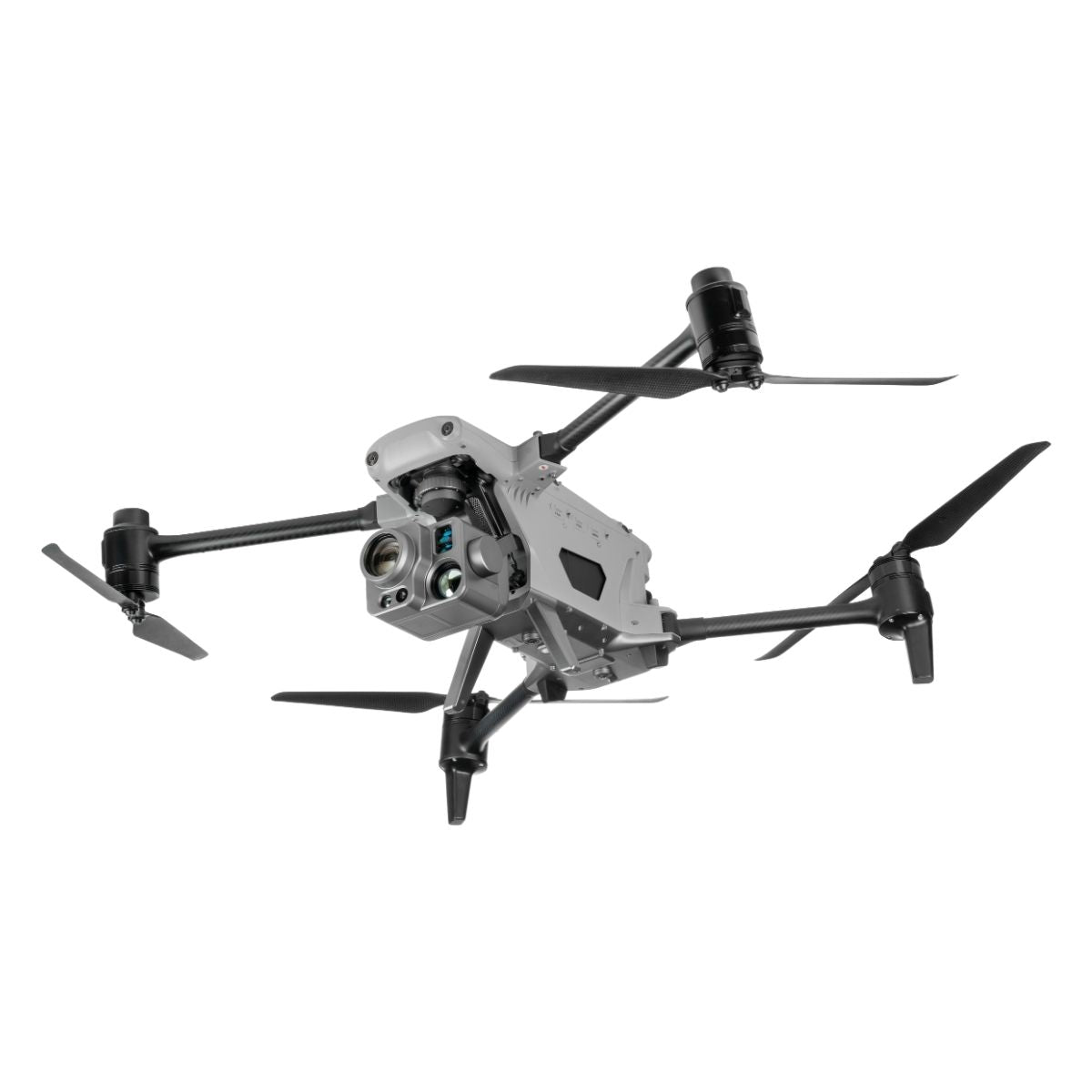
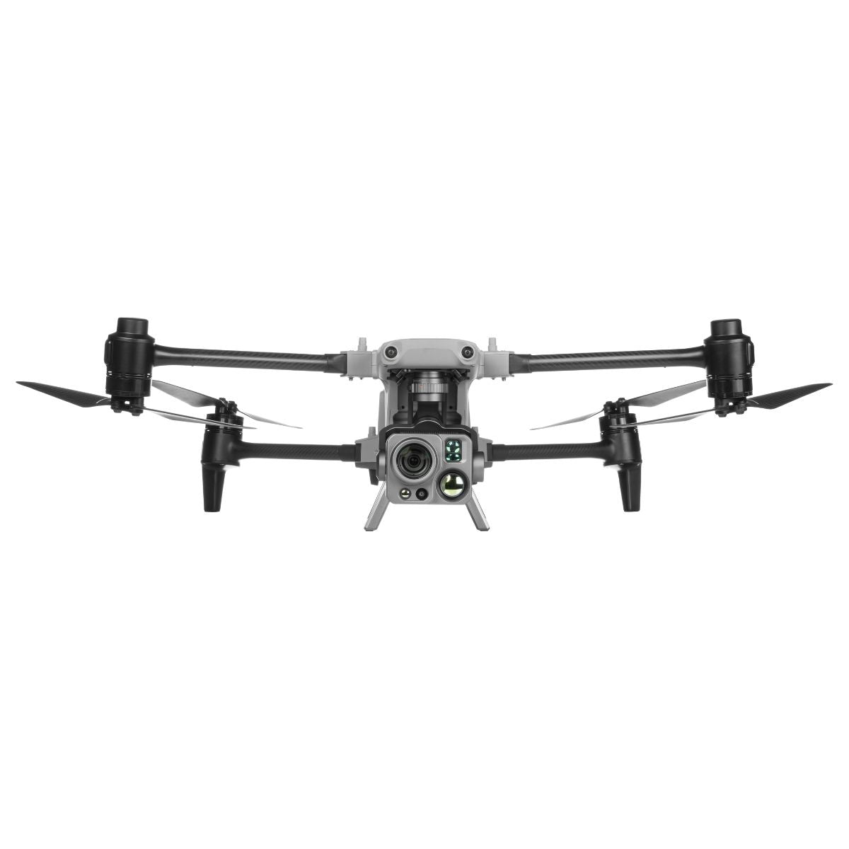
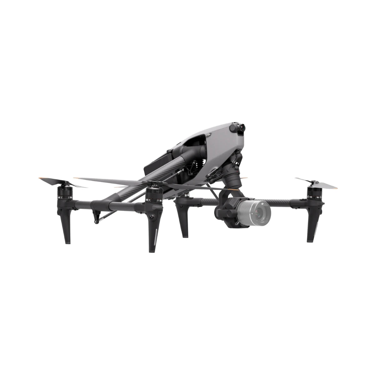
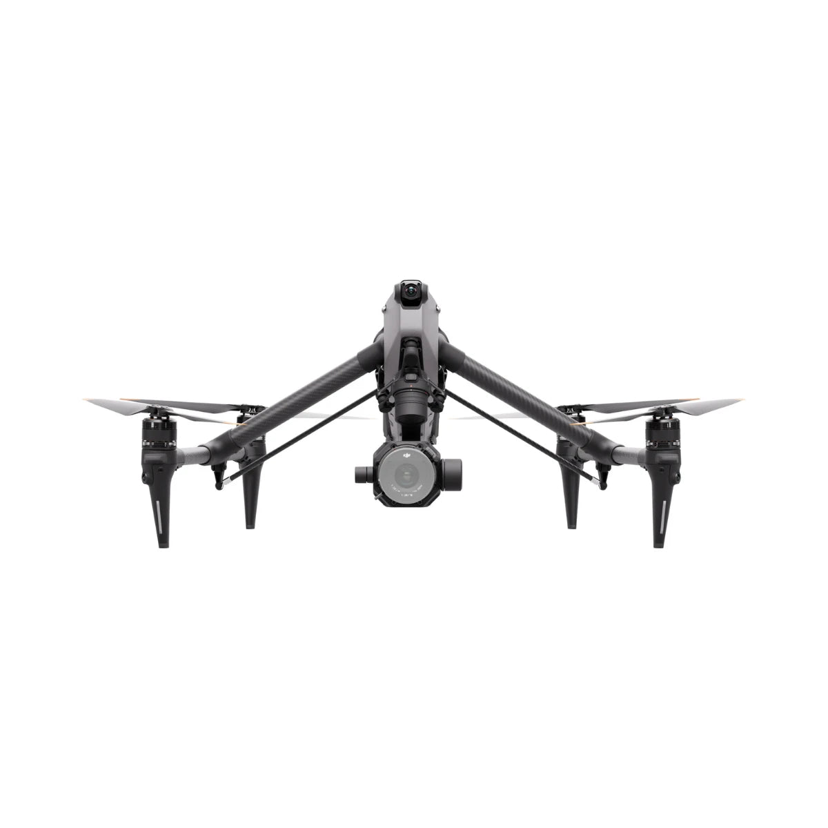
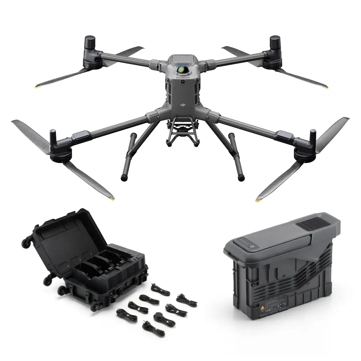
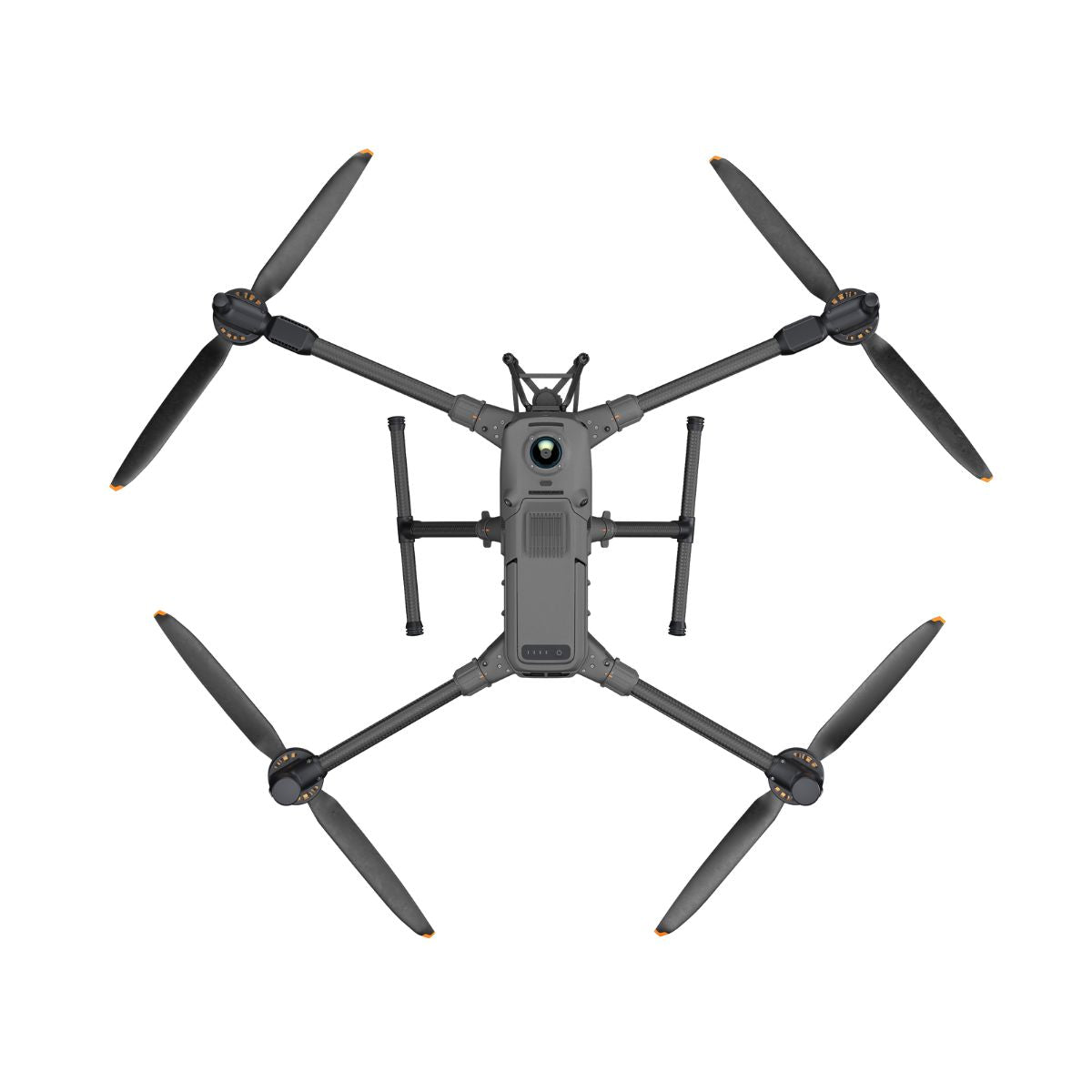
- DJI Matrice 400: flagship enterprise airframe that carries field-swappable Zenmuse thermal, zoom, mapping, and LiDAR cameras.
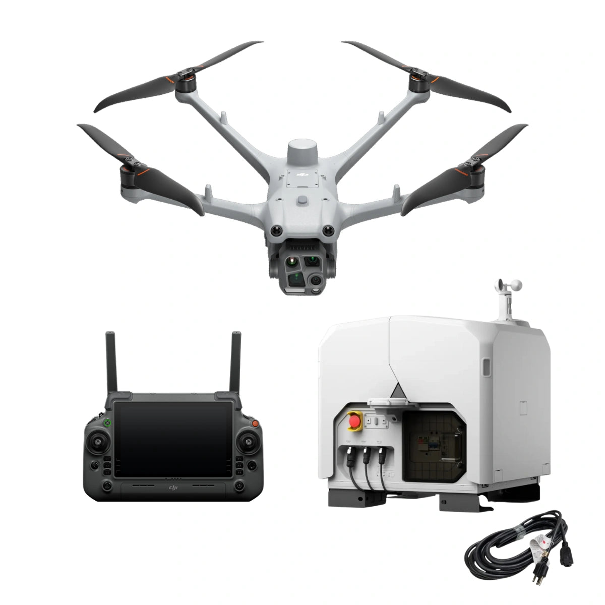
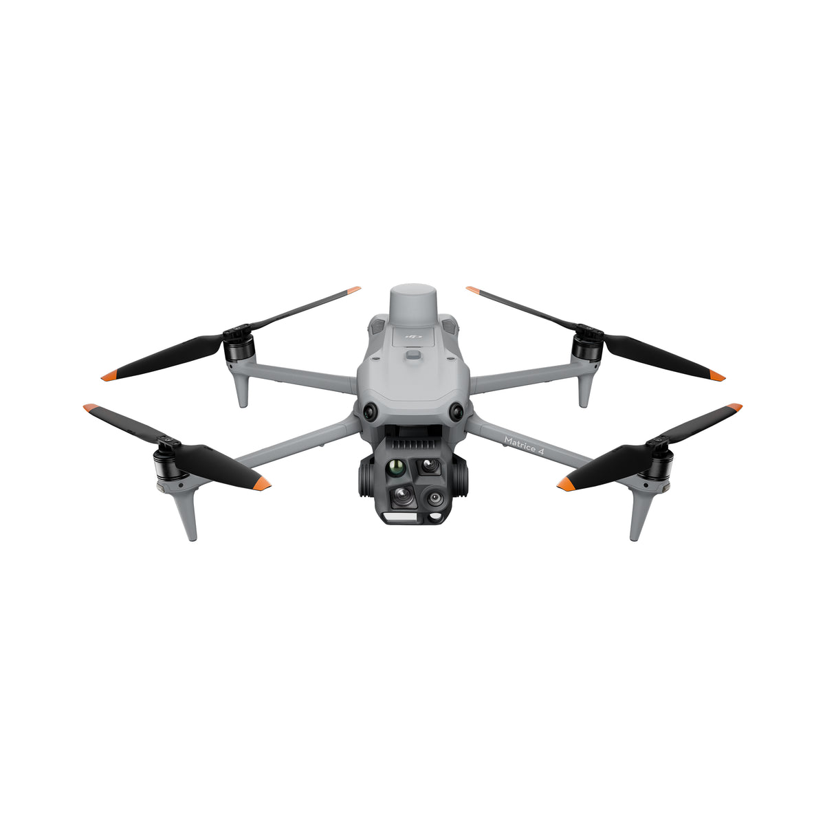
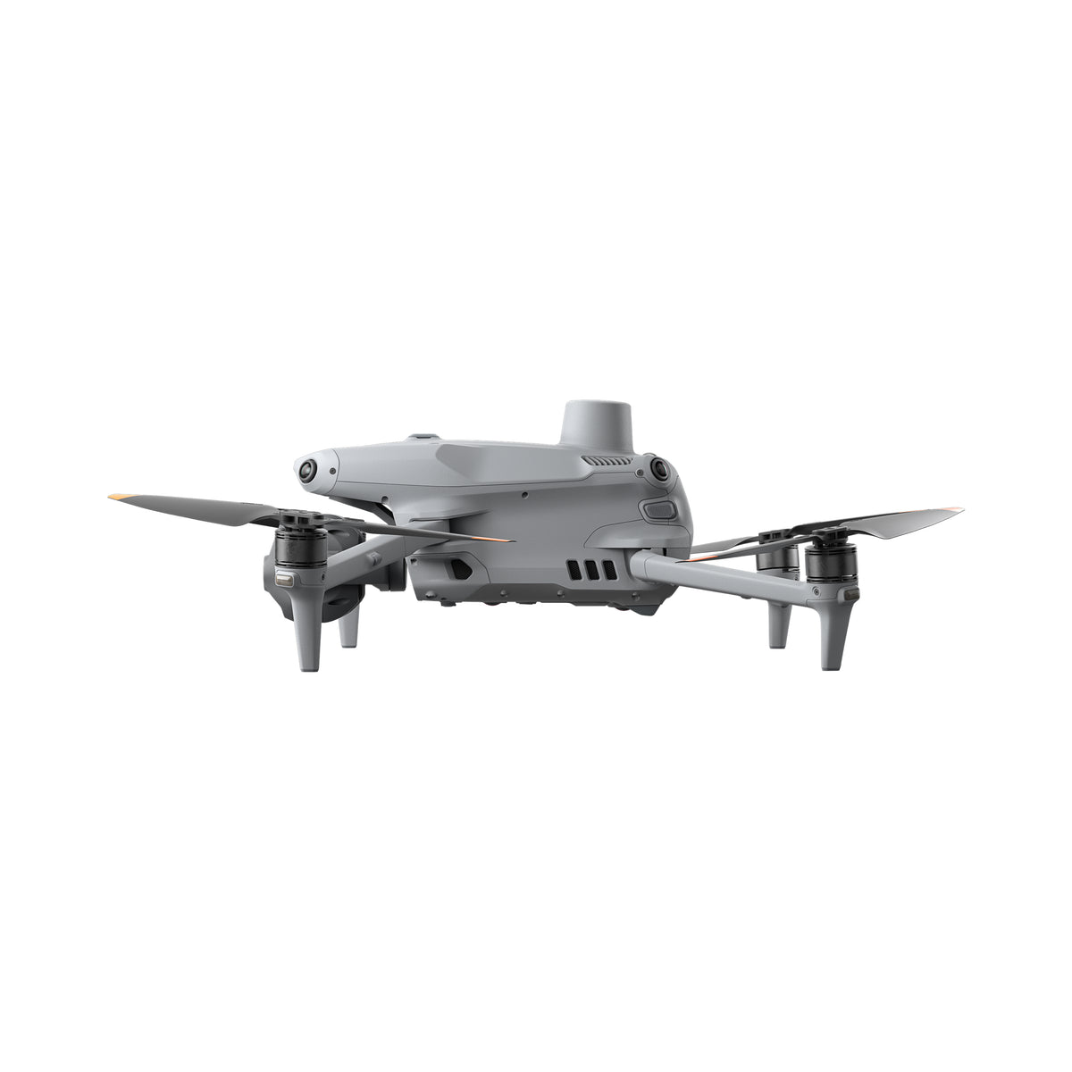
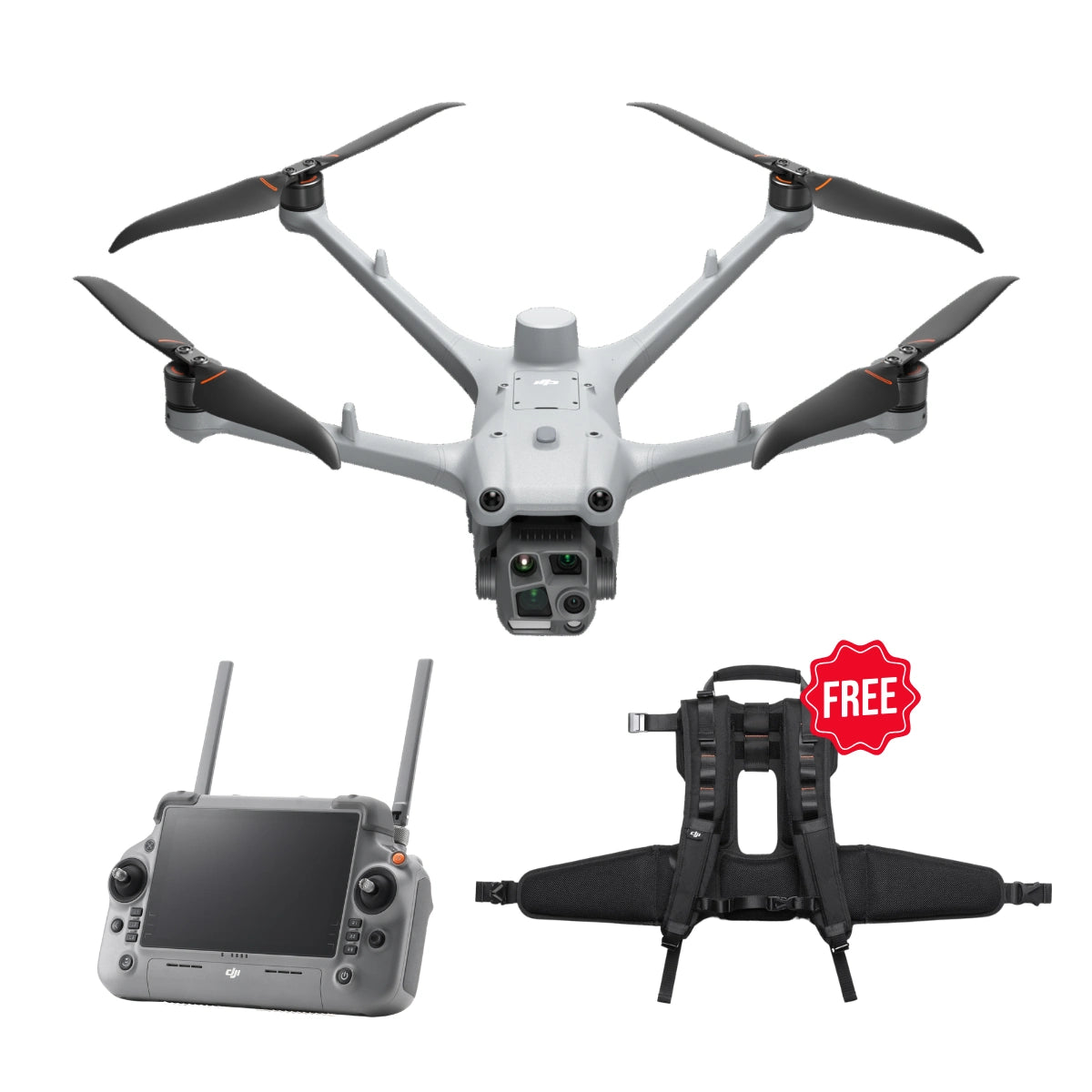
- DJI Matrice 4 and Matrice 4D series: compact aircraft with integrated wide, tele, and thermal camera systems, with the 4D series built around Dock 3 for remote operations.
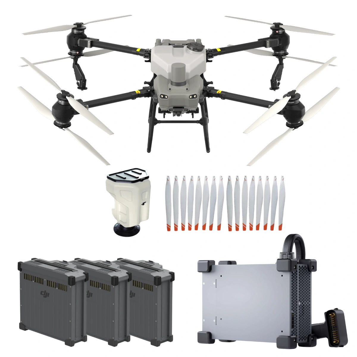
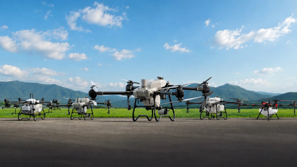
- DJI agriculture and delivery: Agras spraying drones, Mavic 3 Multispectral crop mapping, and the FlyCart 100 heavy-lift delivery aircraft.
- DJI creator and consumer drones: Mavic, Mini, Avata, Neo, and Inspire models for photography, video production, and pilot training.
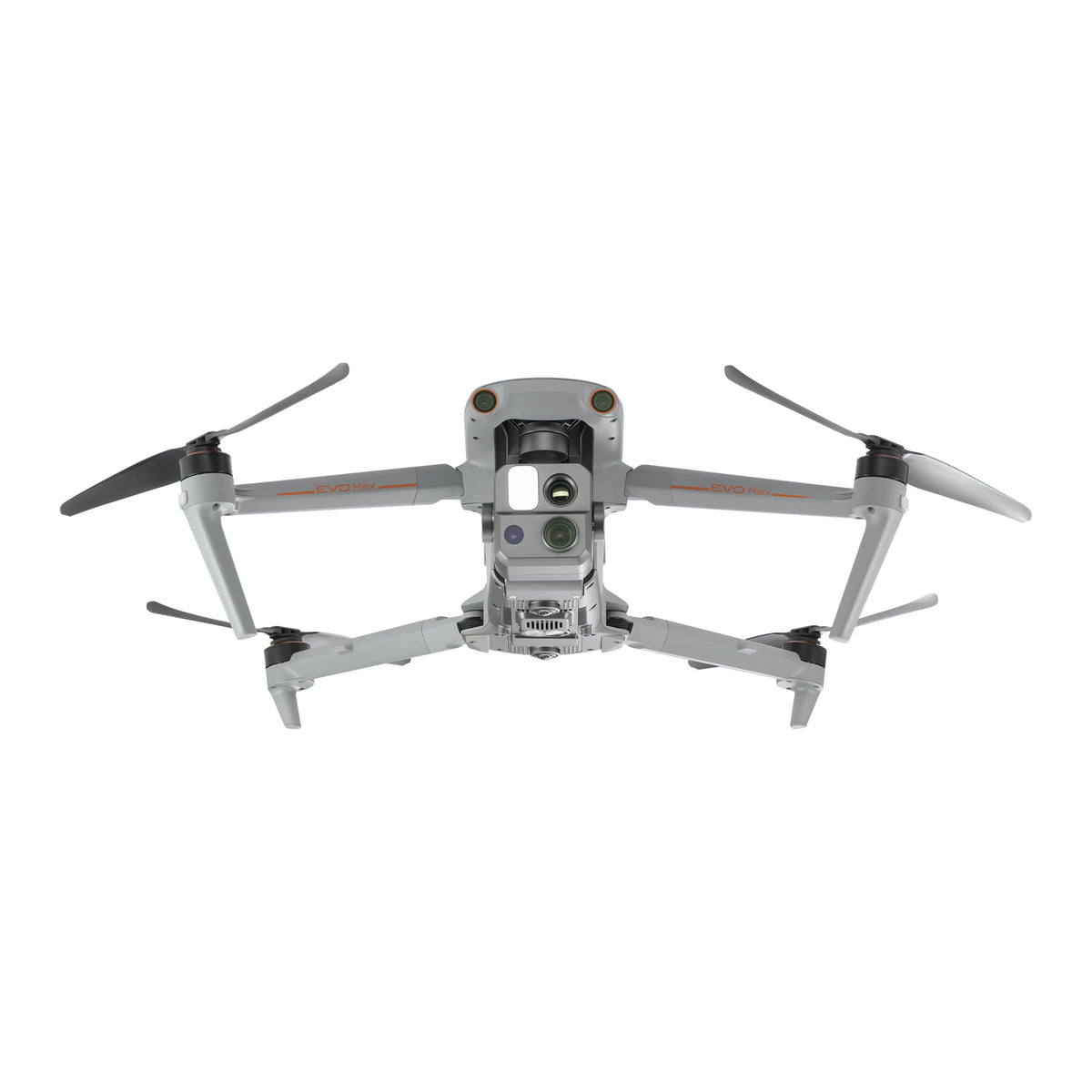
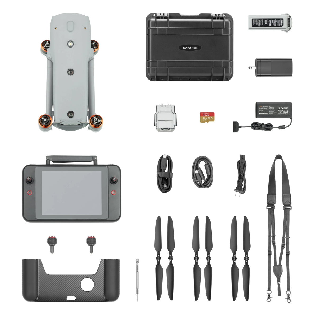
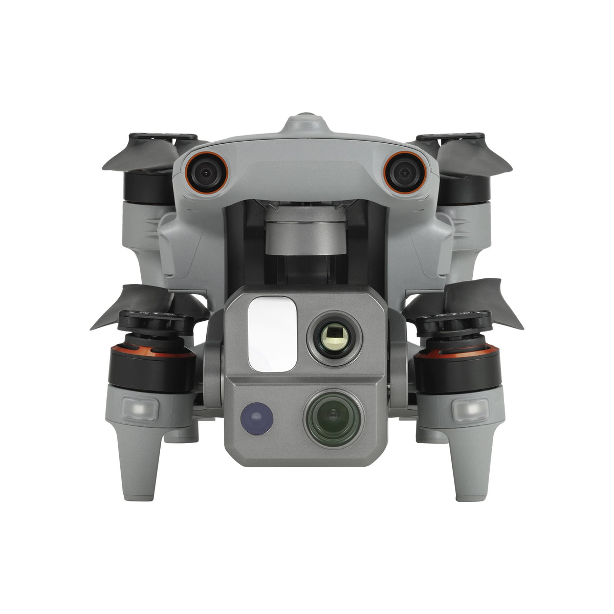
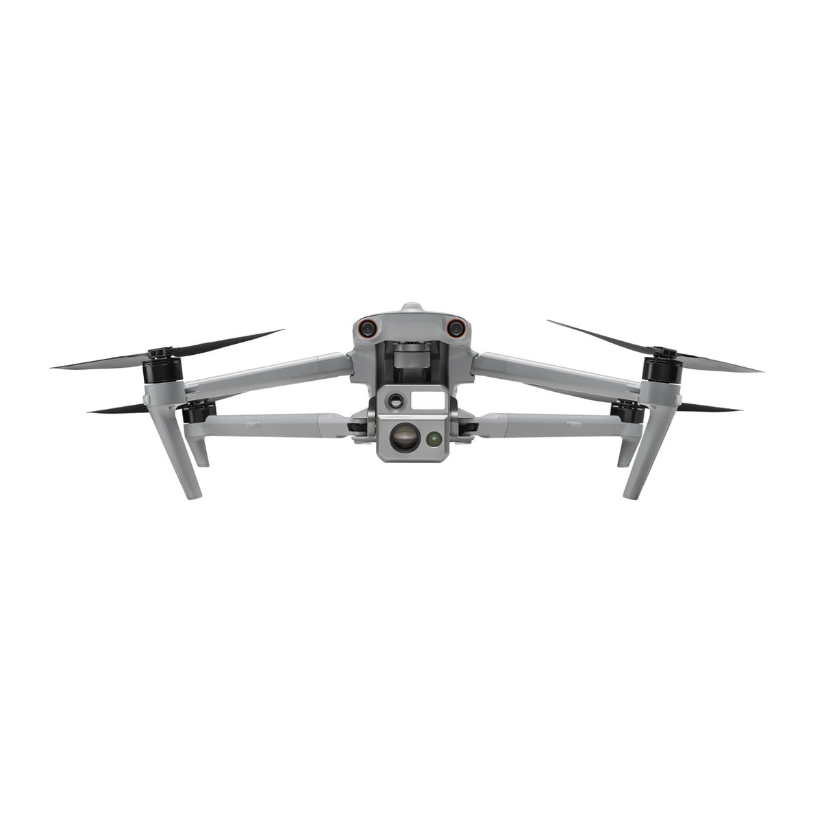
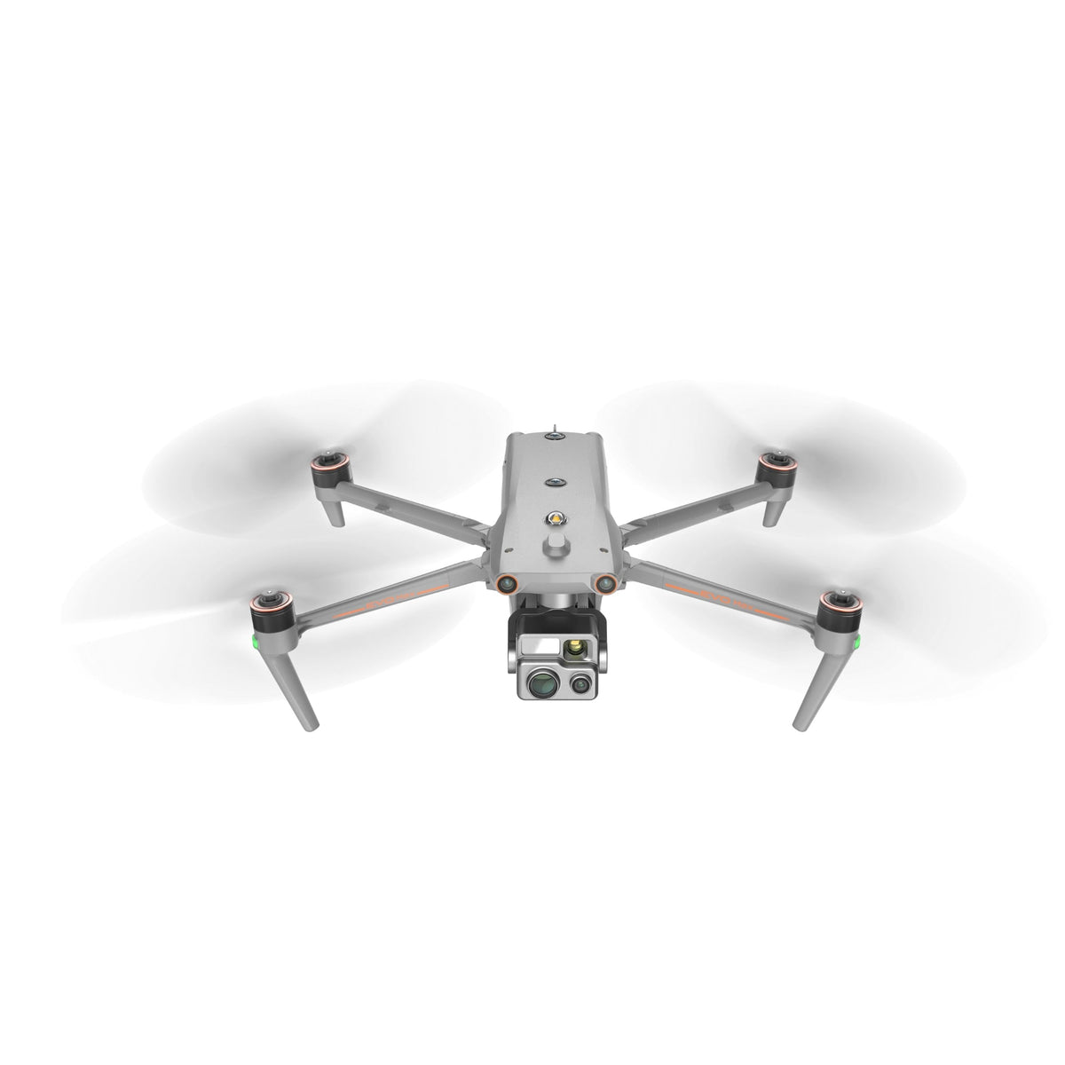
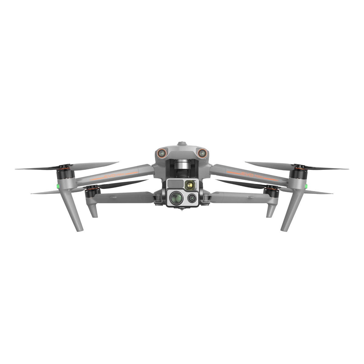
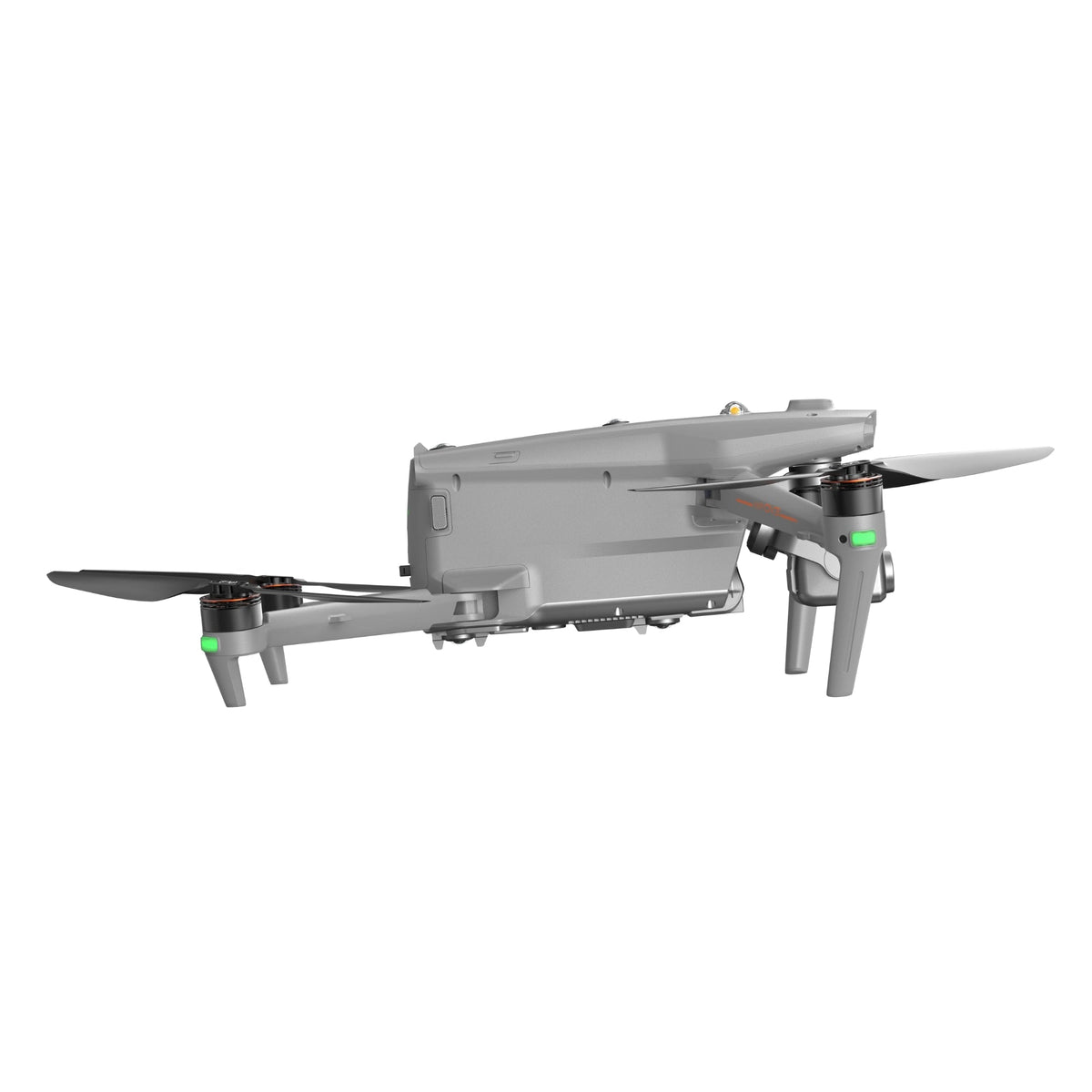
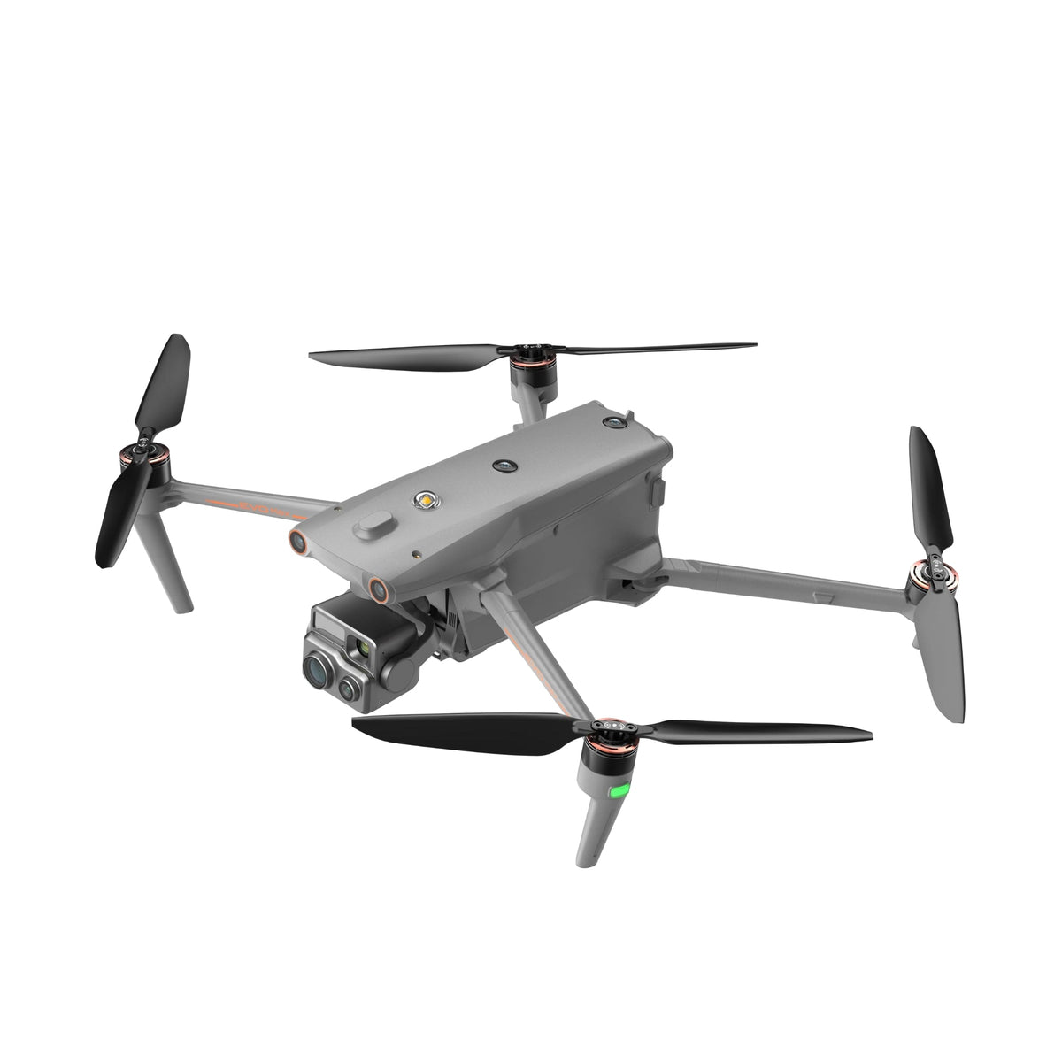
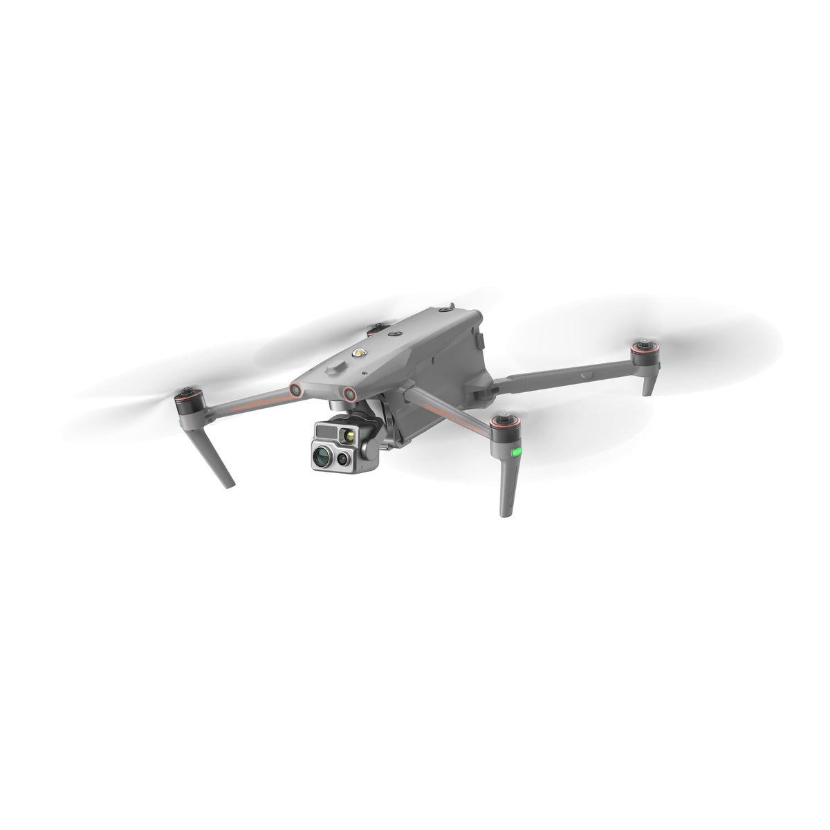
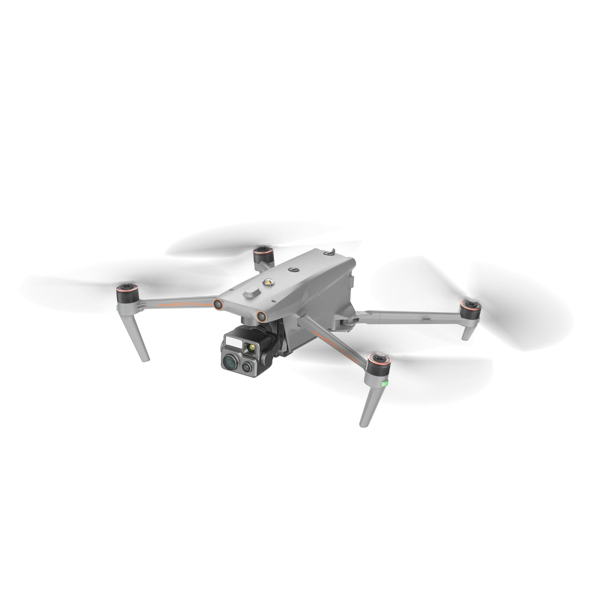
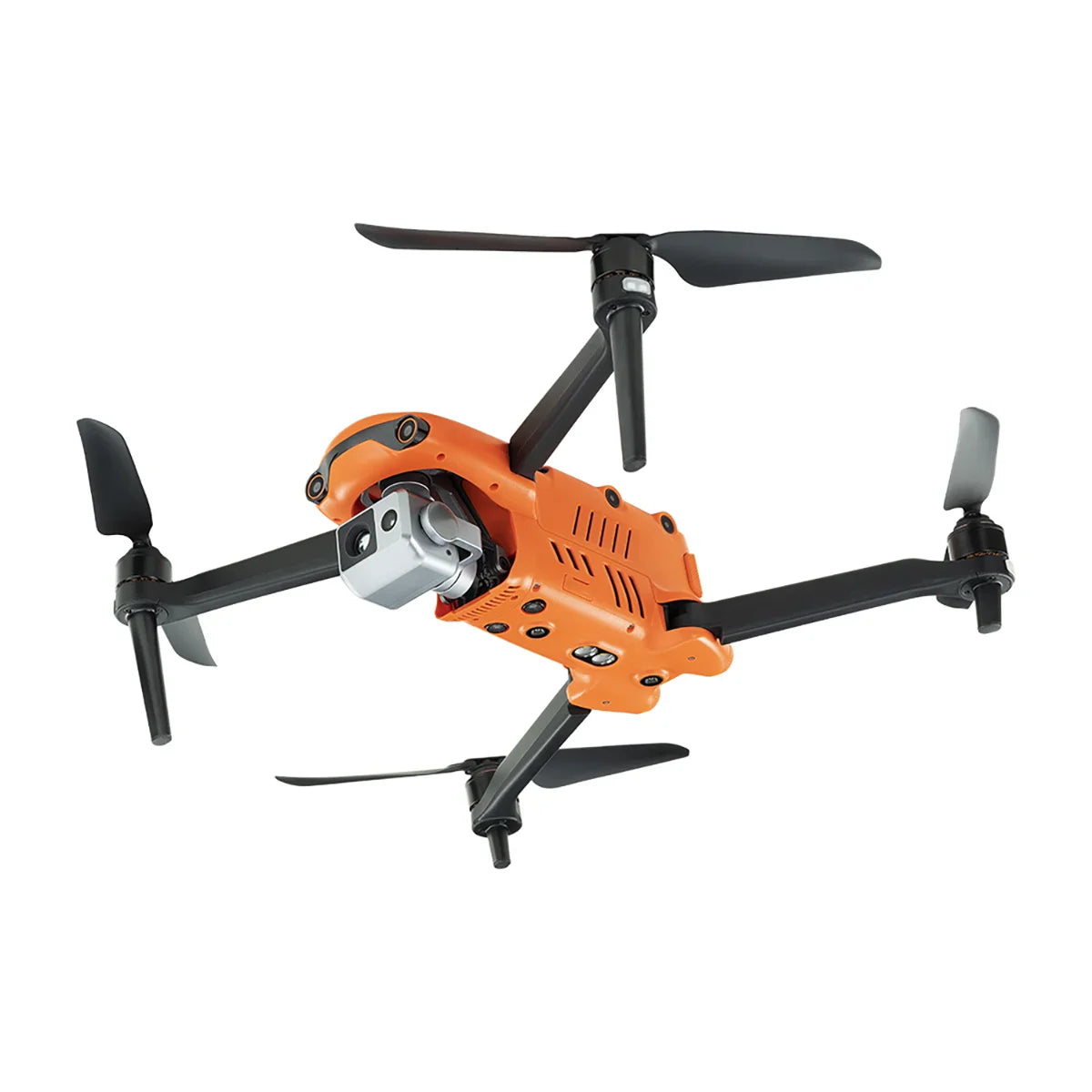
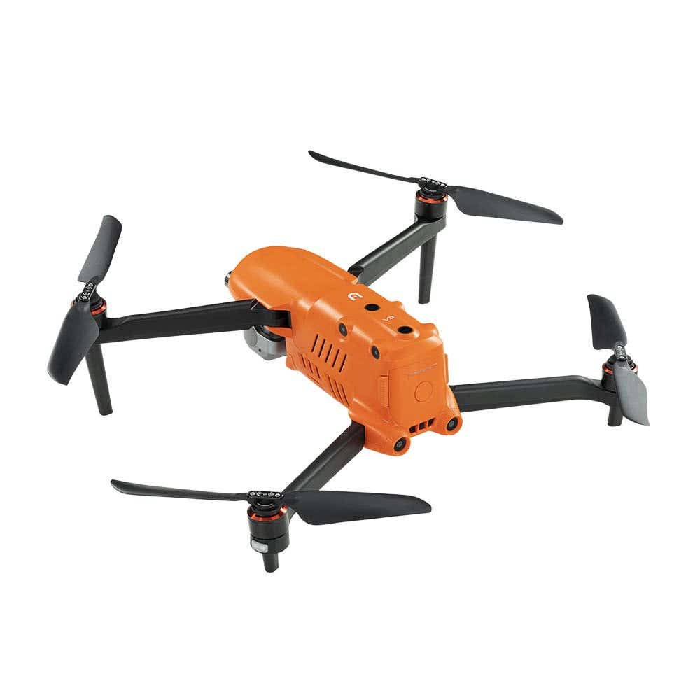
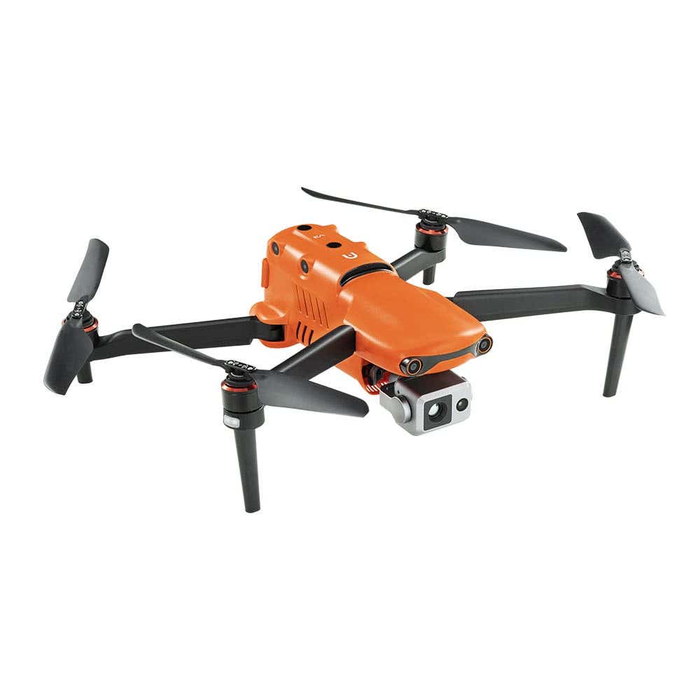
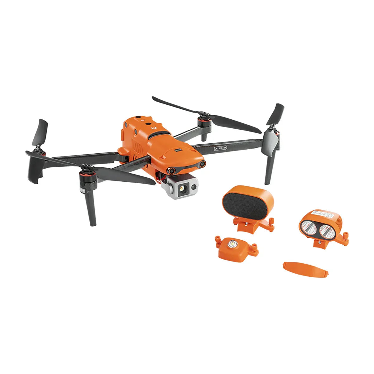
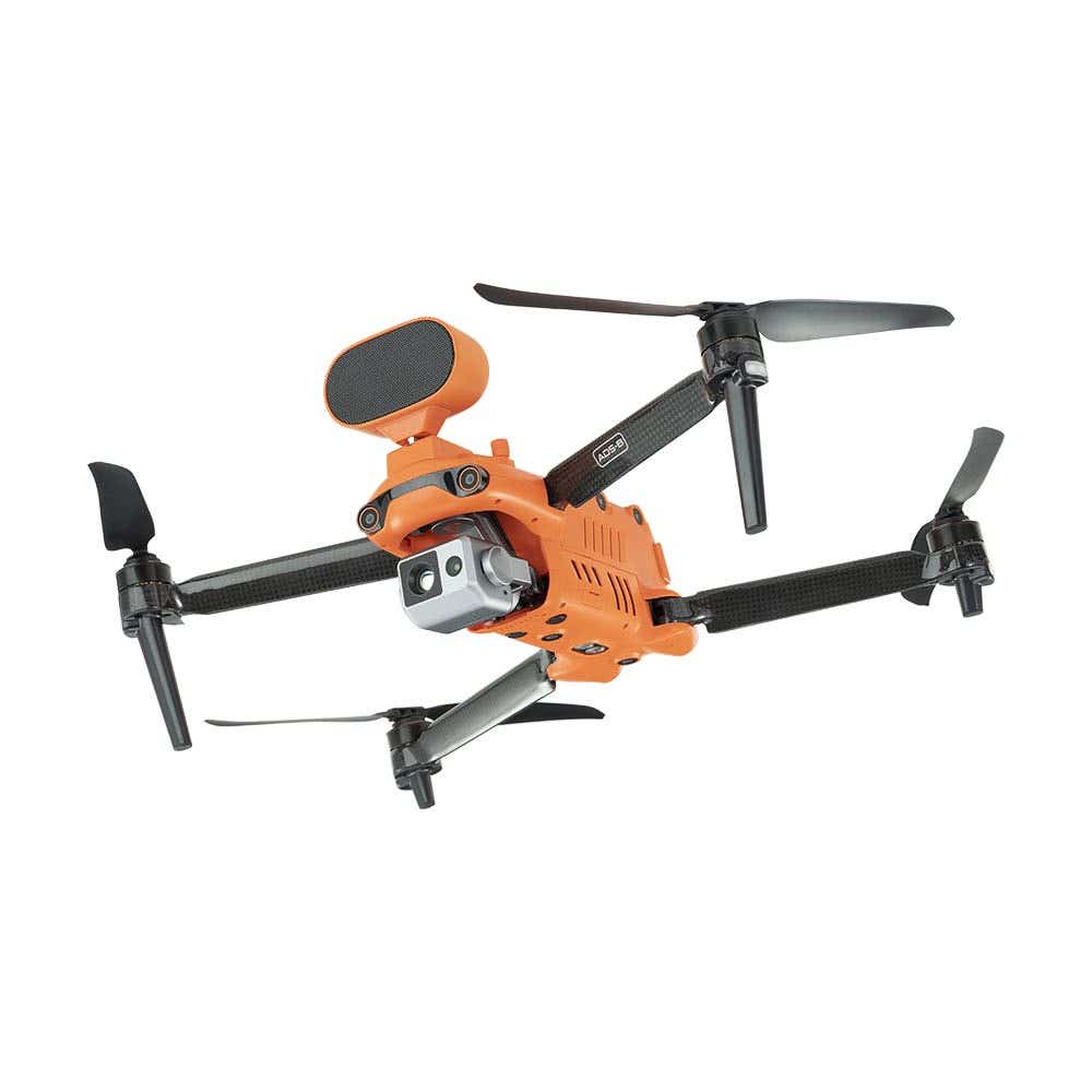
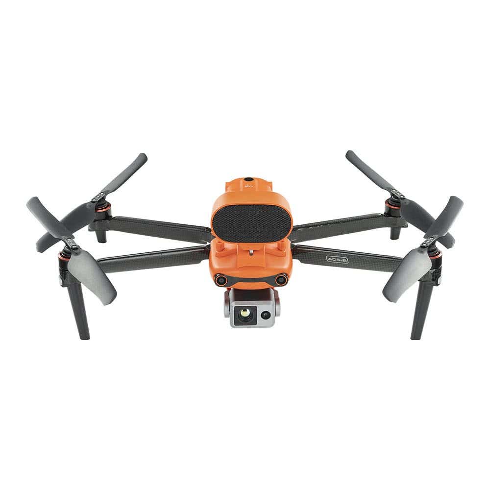
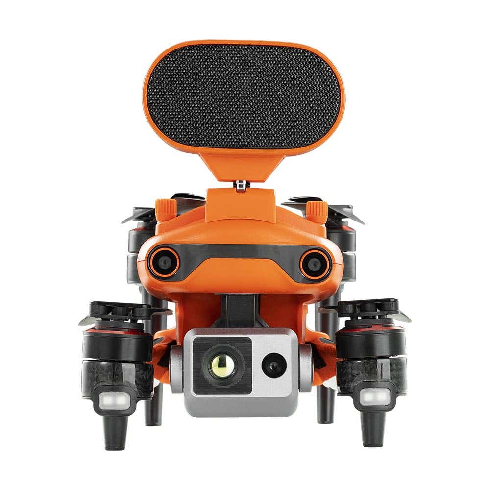
- Autel: EVO Max, Alpha, EVO II V3, and EVO Lite Enterprise thermal and inspection platforms, plus the EVO Nest docked system.
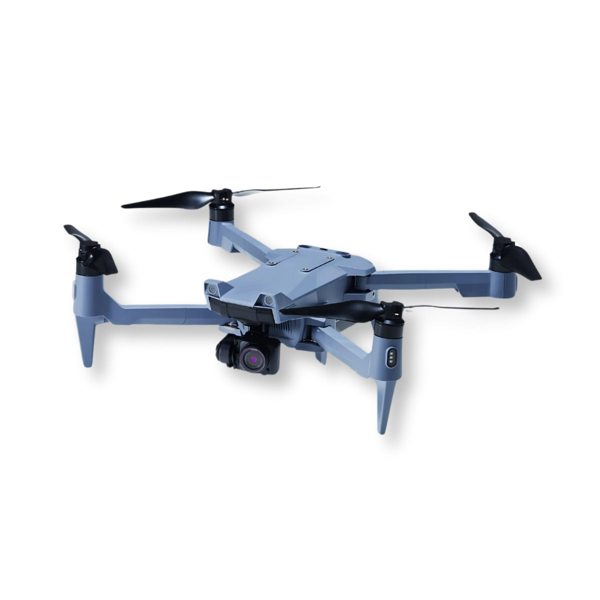
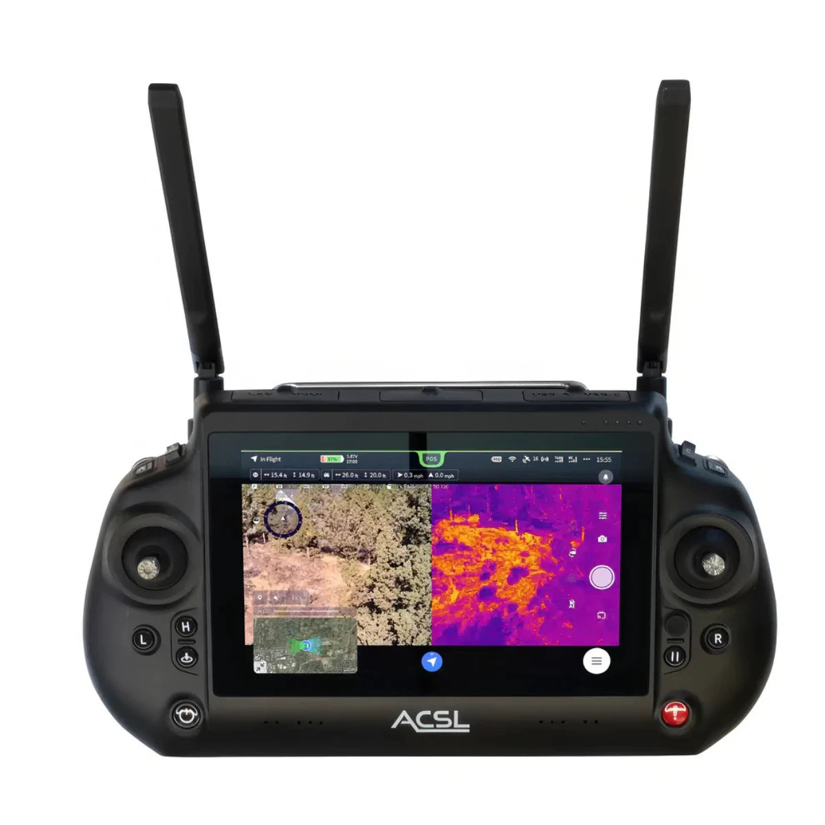
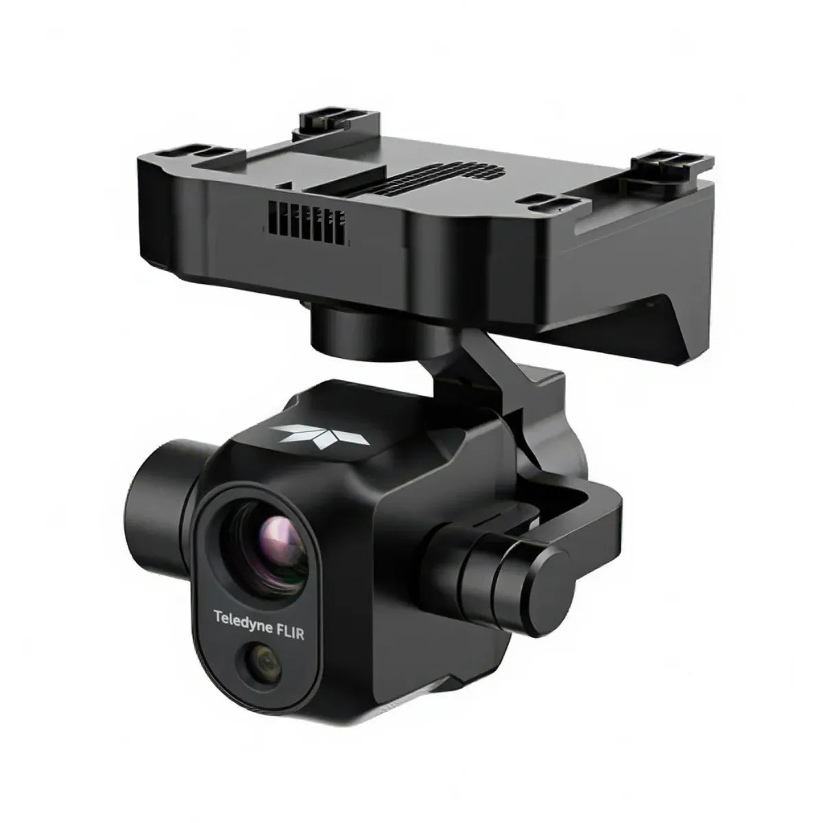
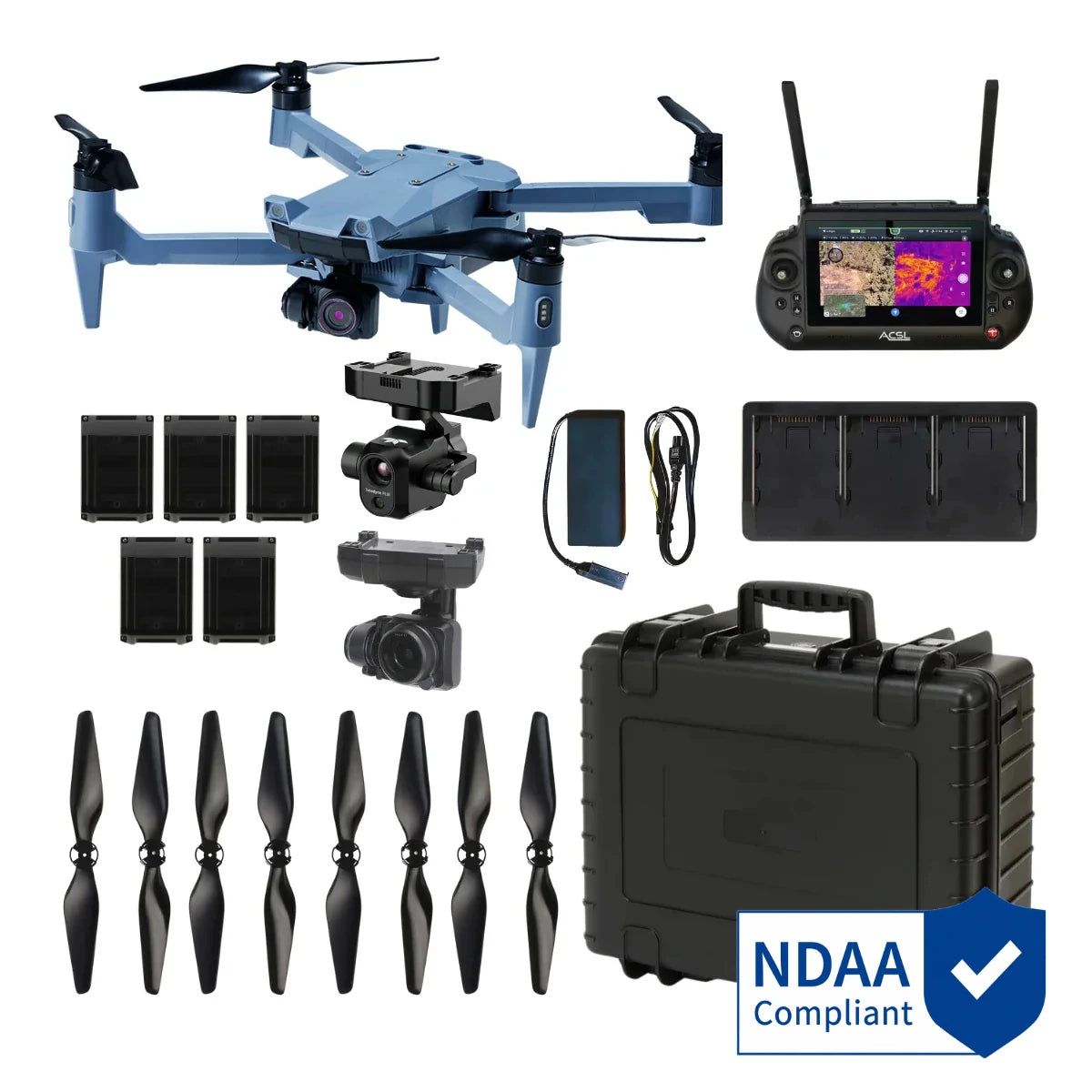
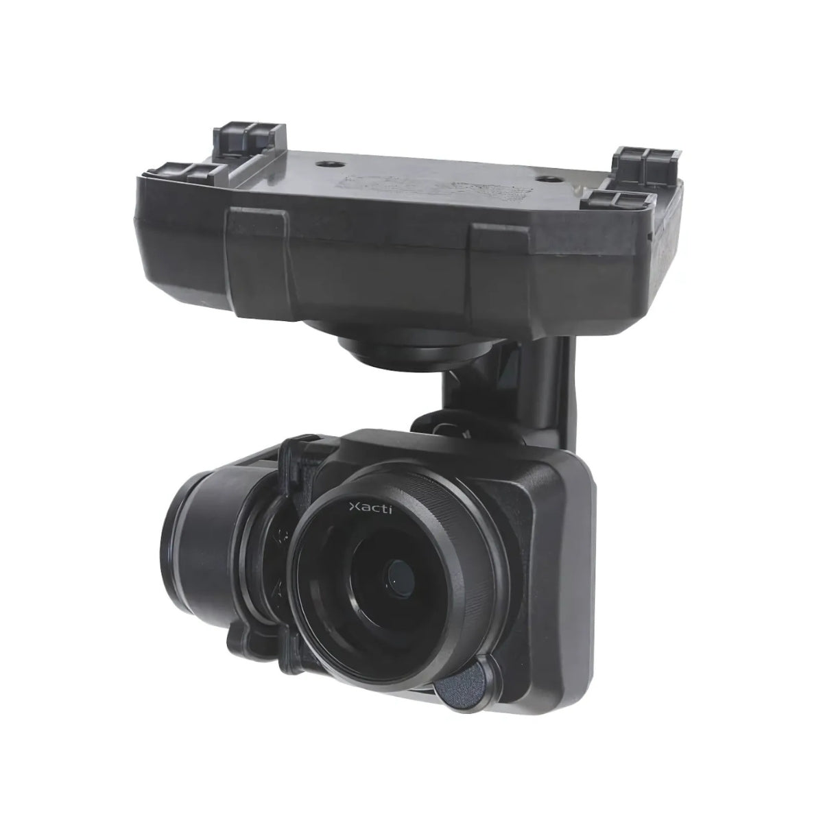
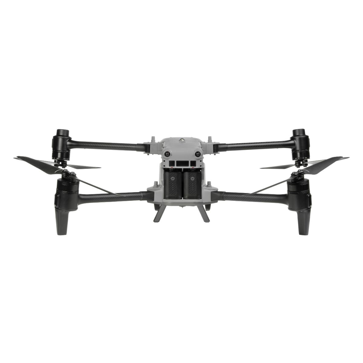
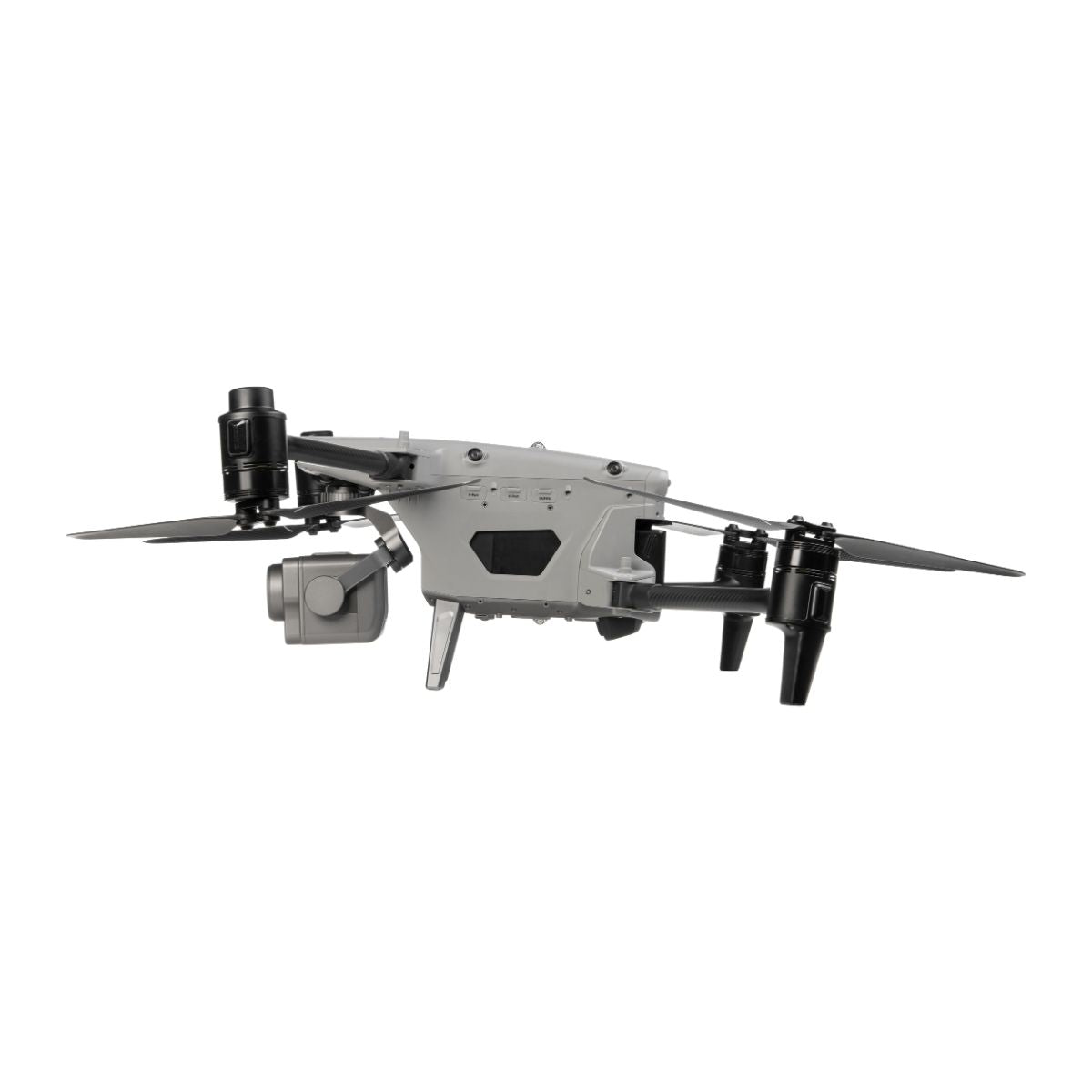
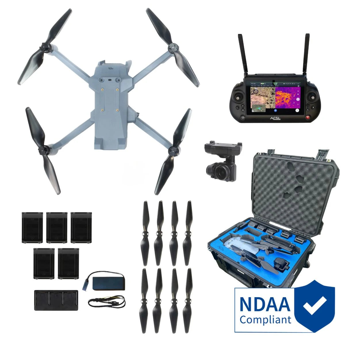
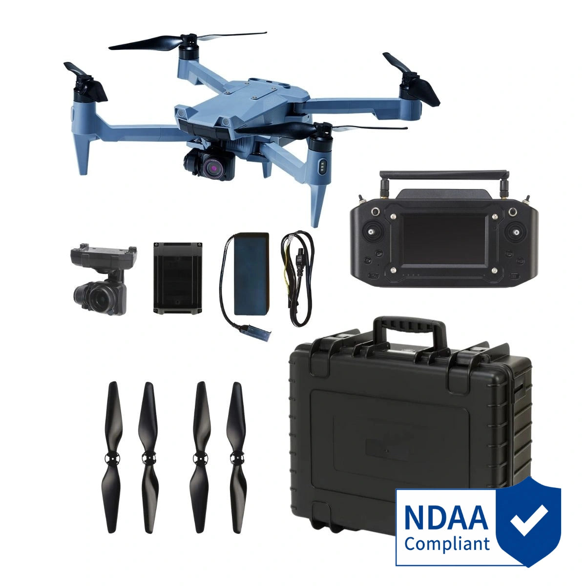
- ACSL SOTEN: compact, Japanese-made, NDAA-compliant aircraft with a one-touch swappable camera system.
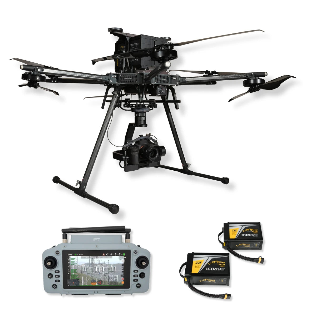
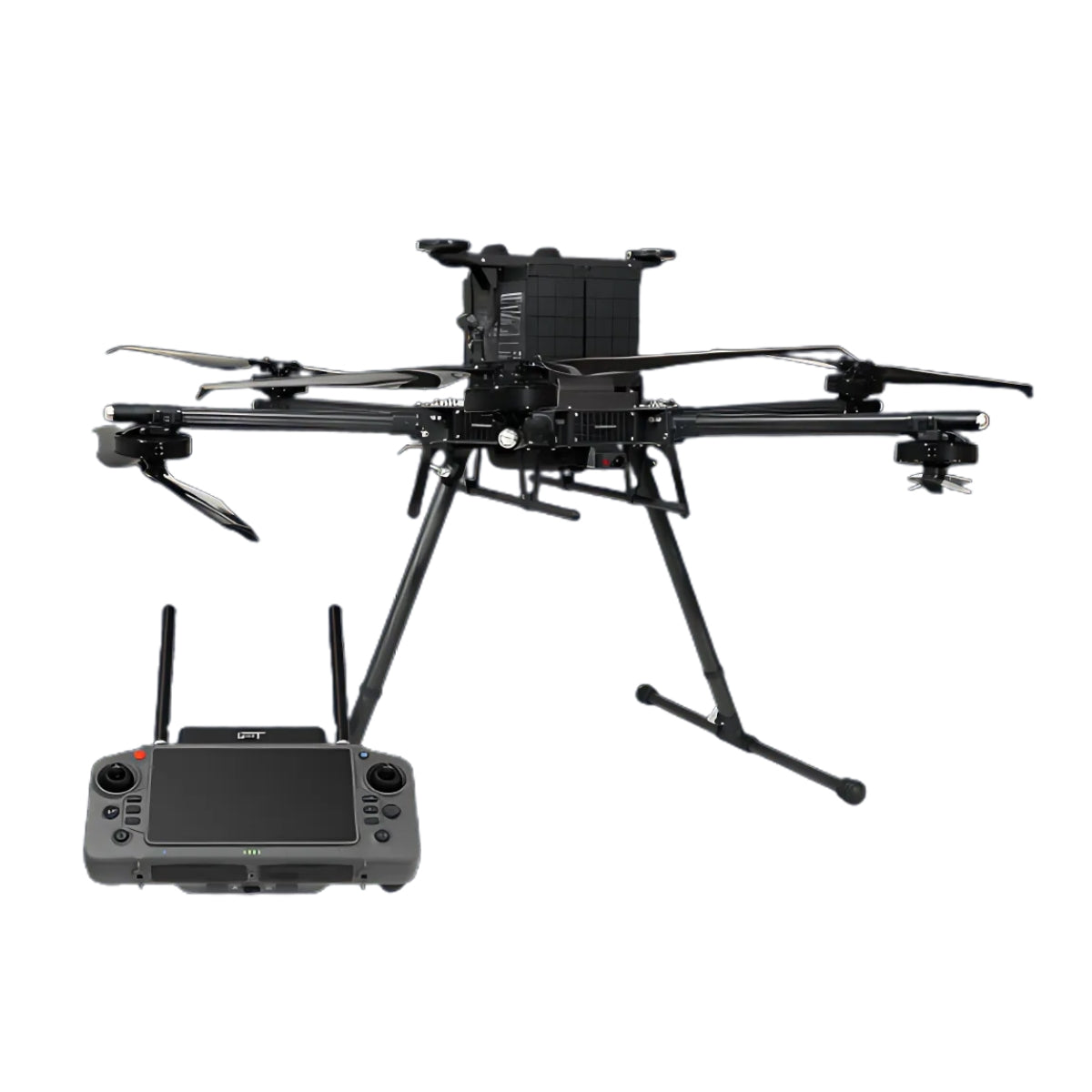
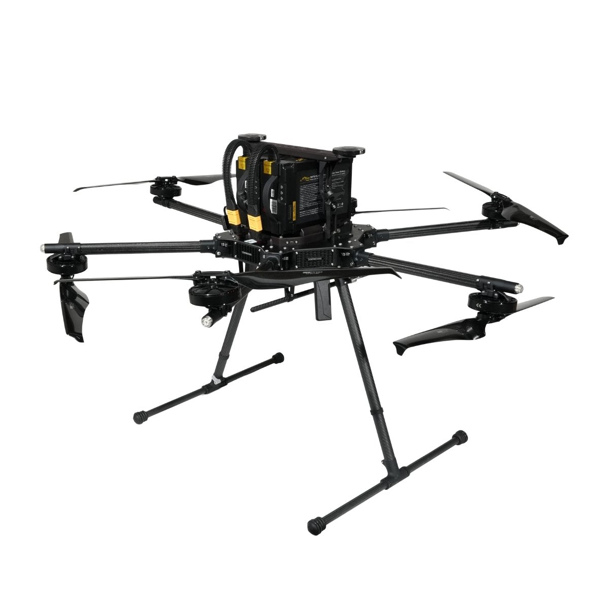
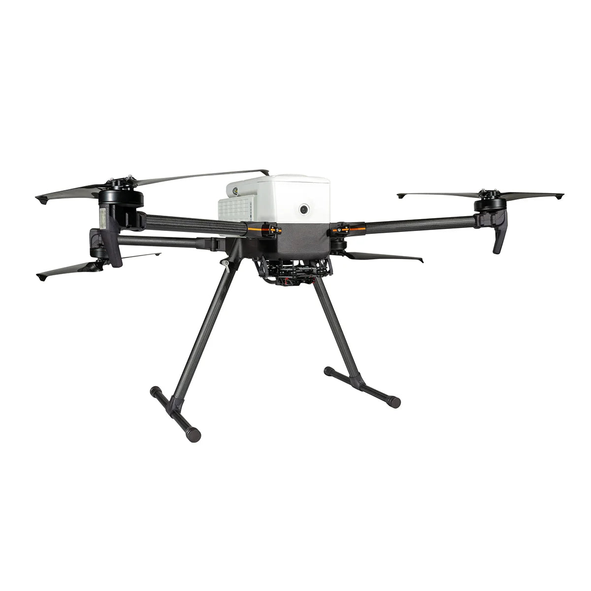
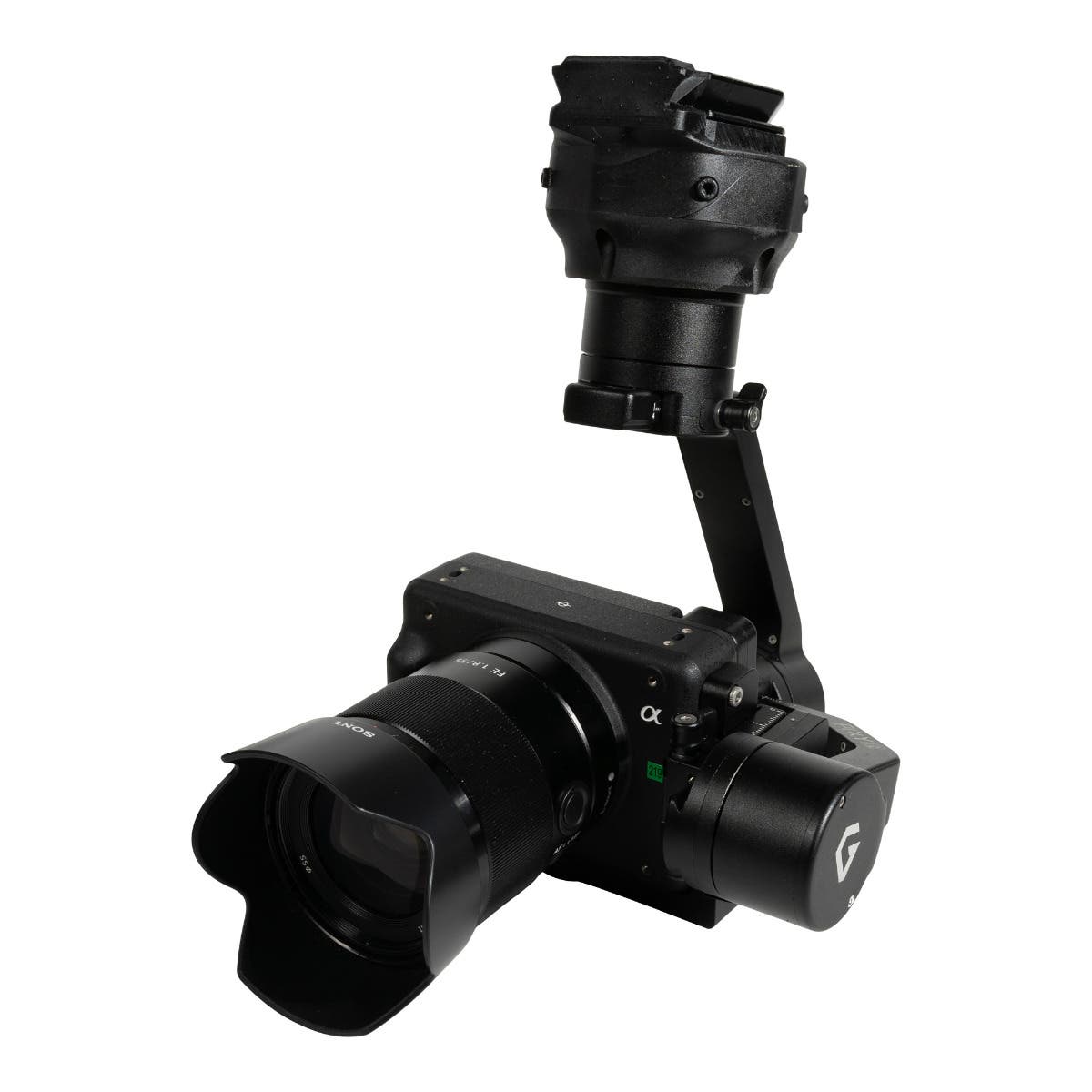
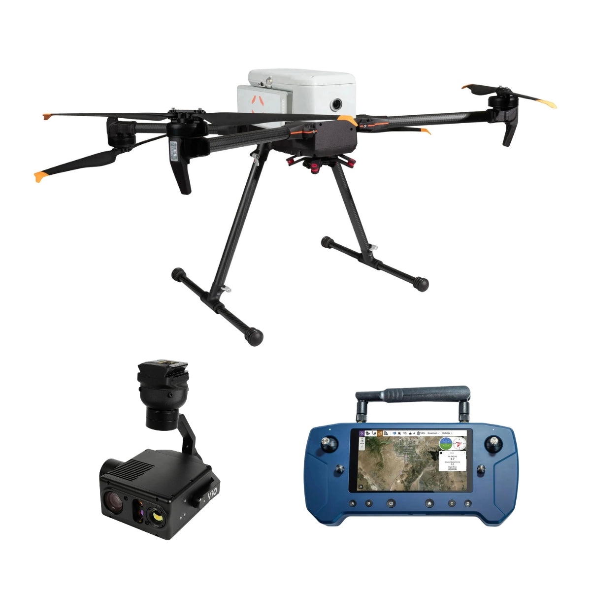
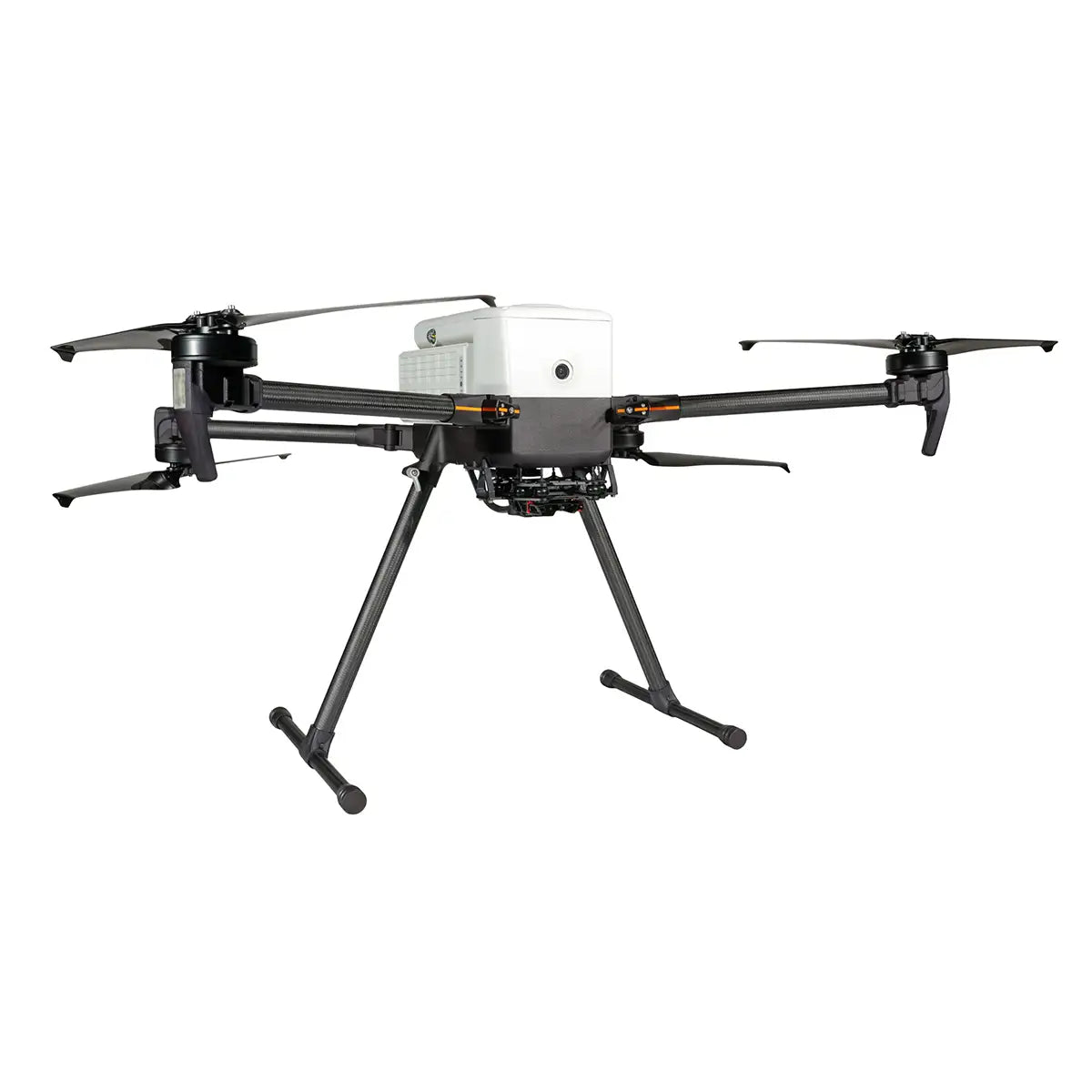
- Freefly: Astro Max and Alta X Gen2 platforms built around an open payload interface for mapping, inspection, and heavy sensor work, with NDAA configurations available.
- Inspired Flight: Blue UAS Cleared IF800 and IF1200A multirotors sized for heavier mapping and inspection sensors.
- WISPR: US-made, NDAA-compliant SkyScout 2 series supporting RTK and PPK workflows, with the SkyScout 2+ Blue UAS Cleared.
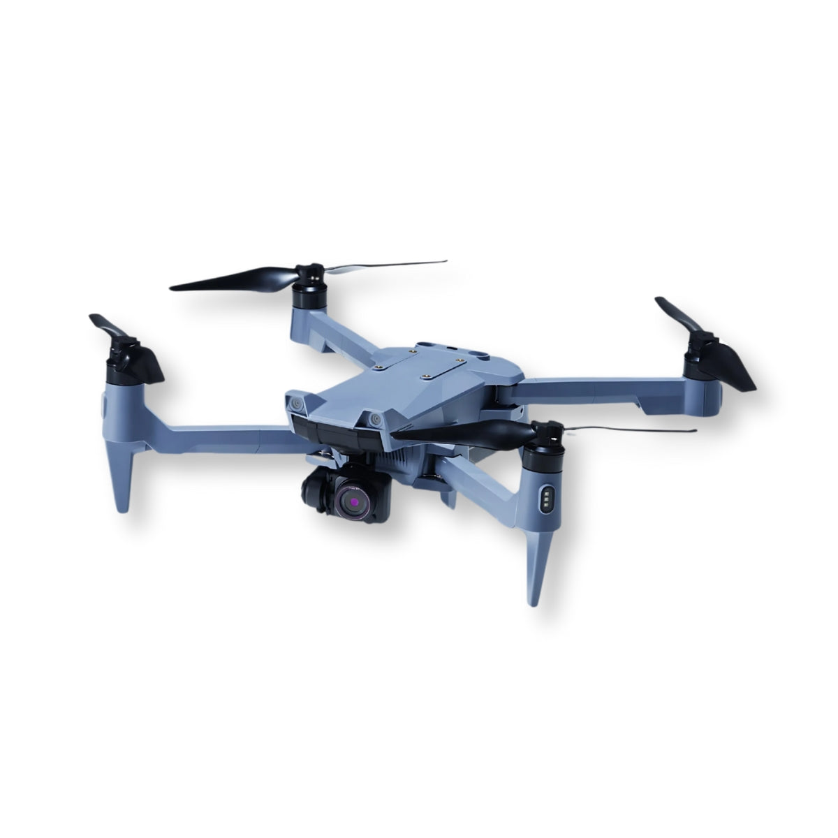
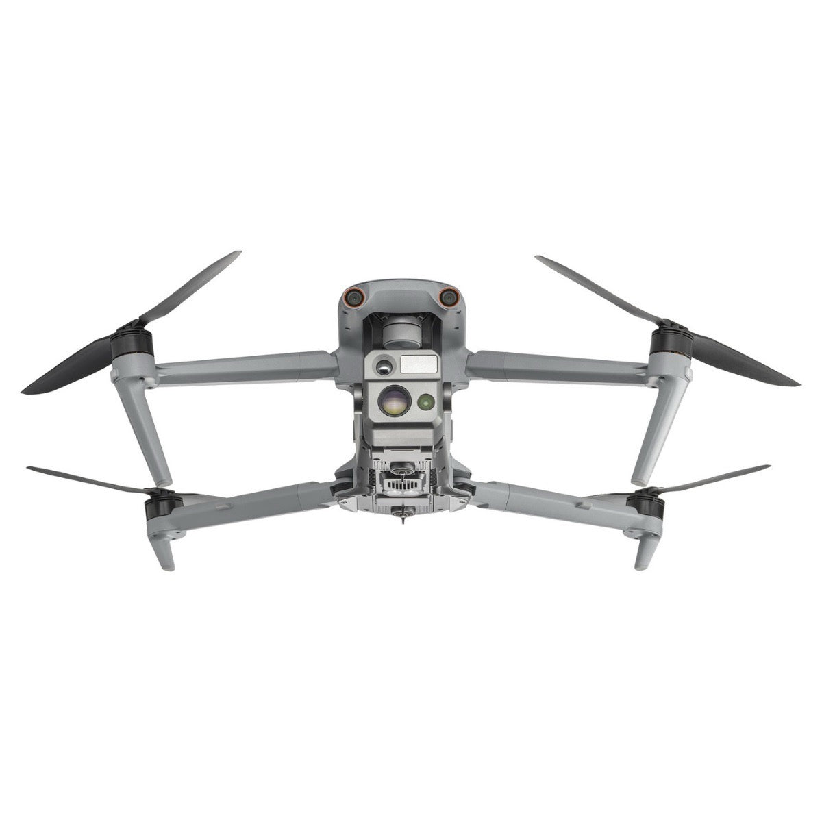
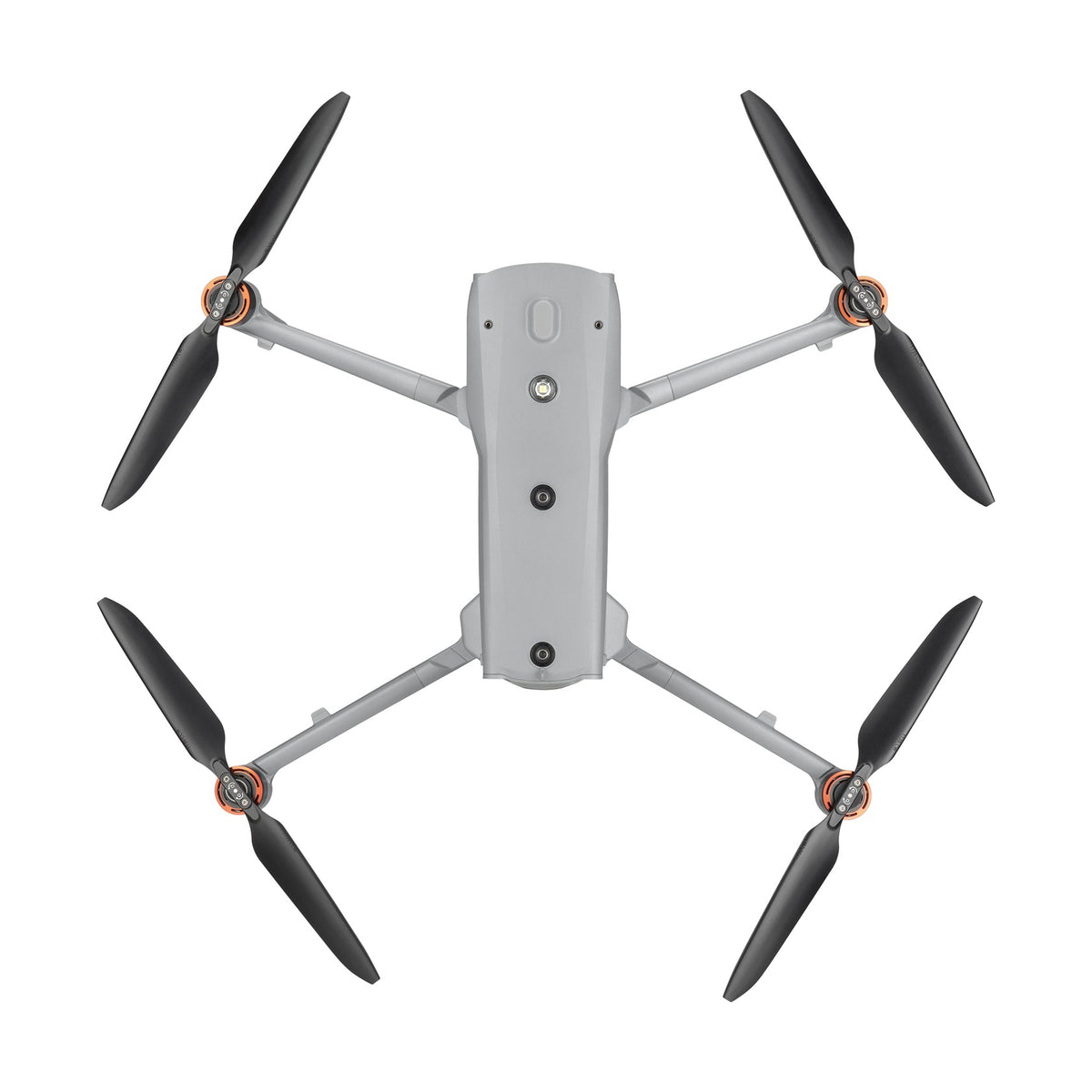
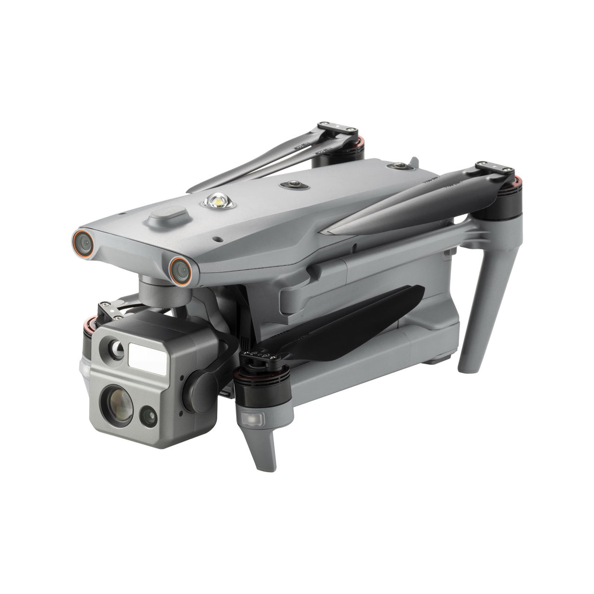
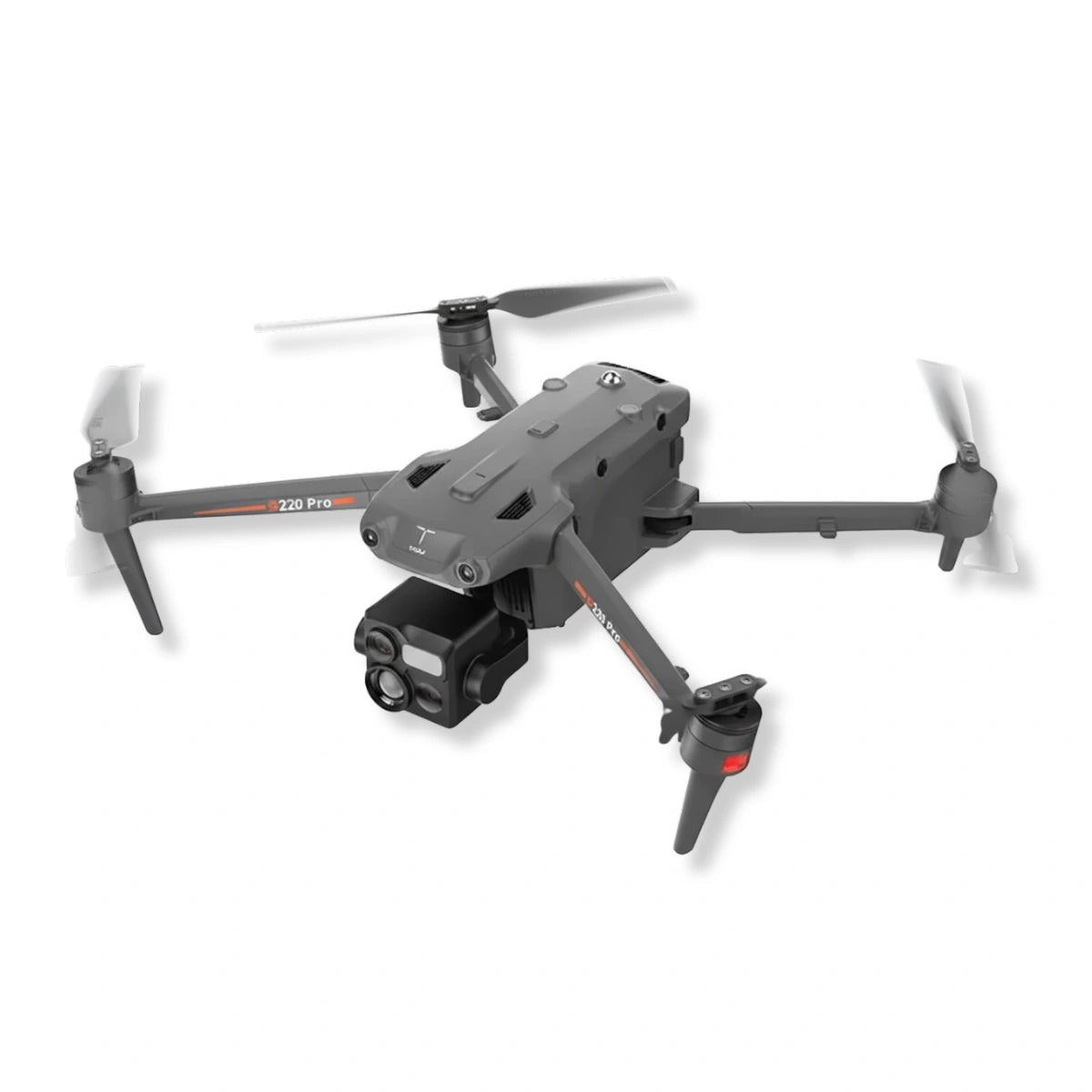
- GDU S220 Pro: compact thermal inspection aircraft with an integrated quad-sensor camera system.
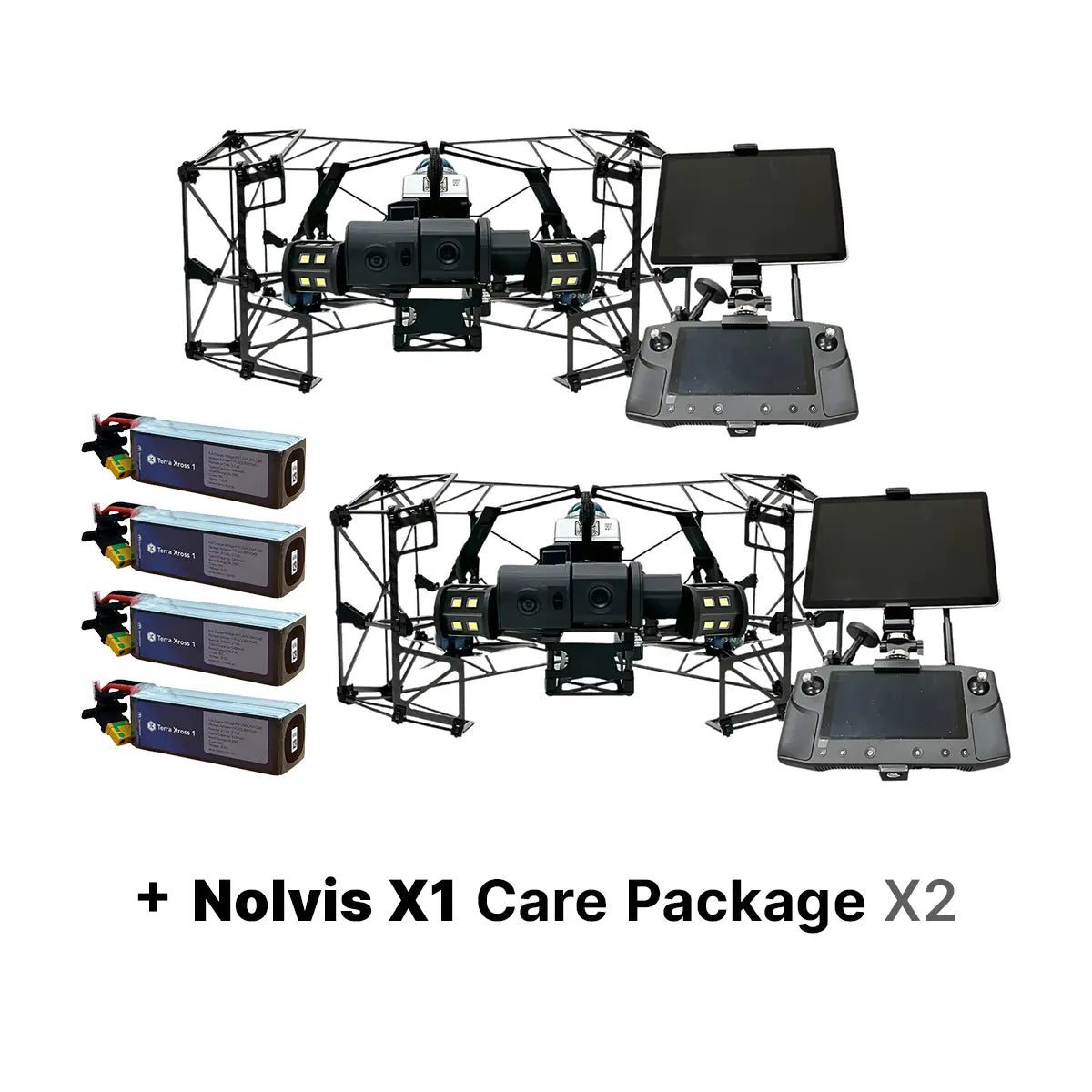
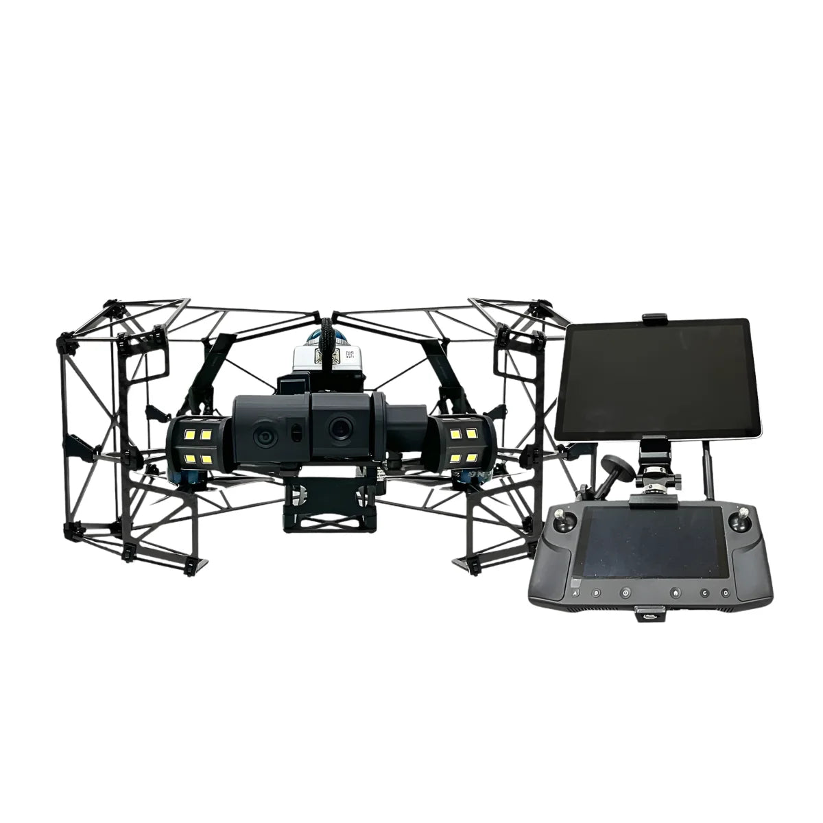
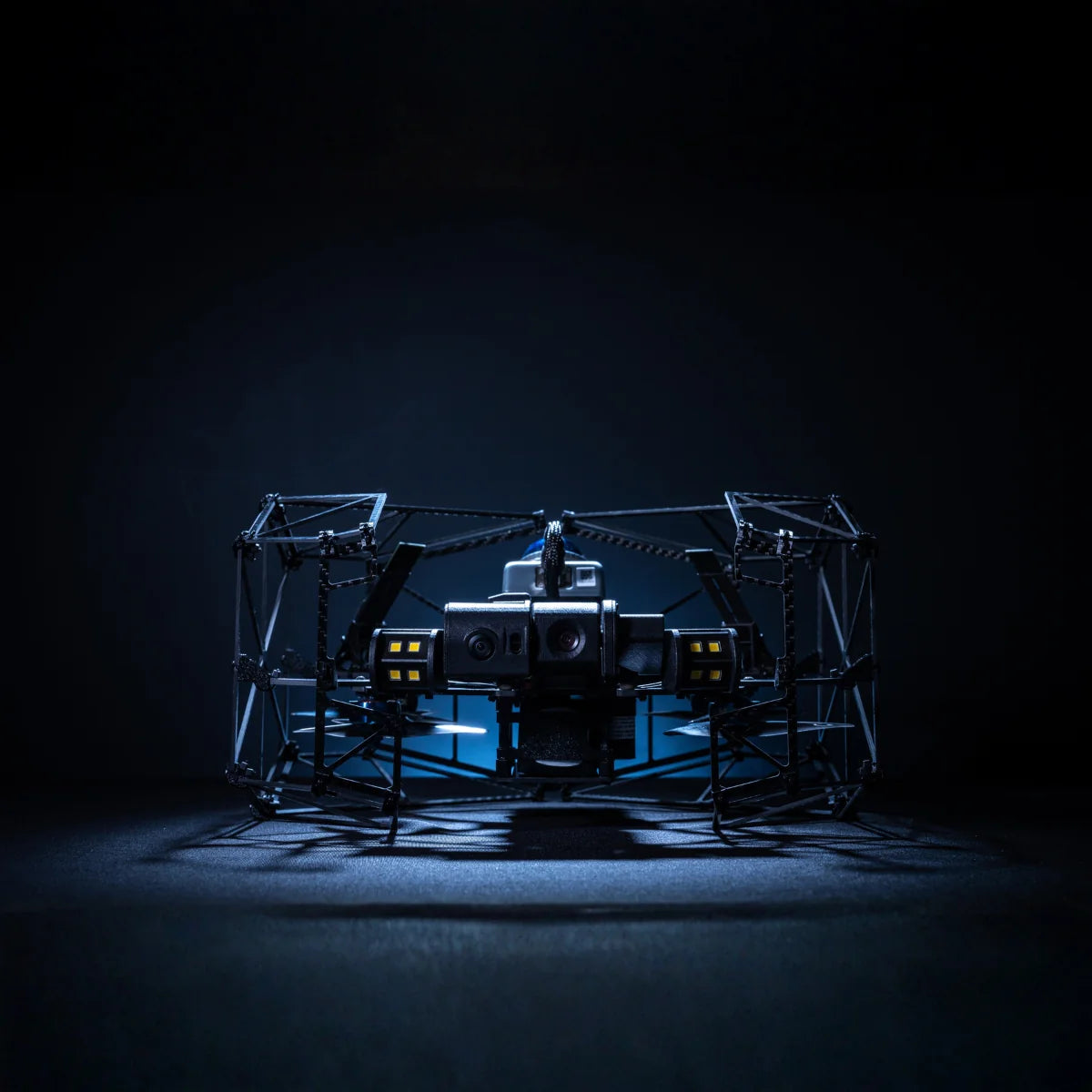
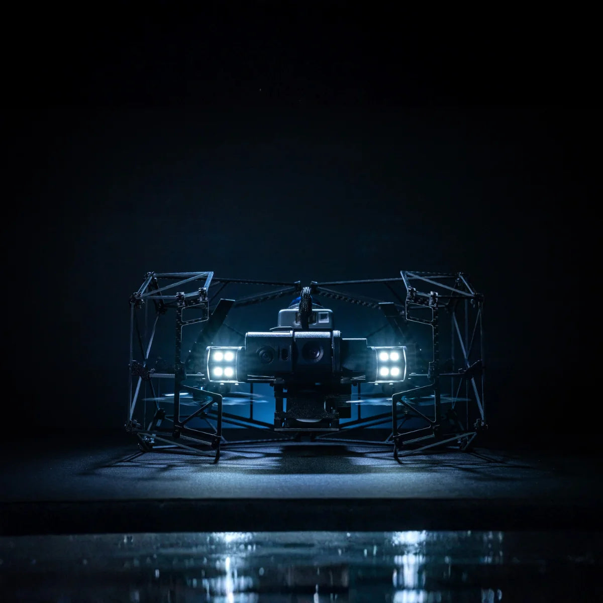
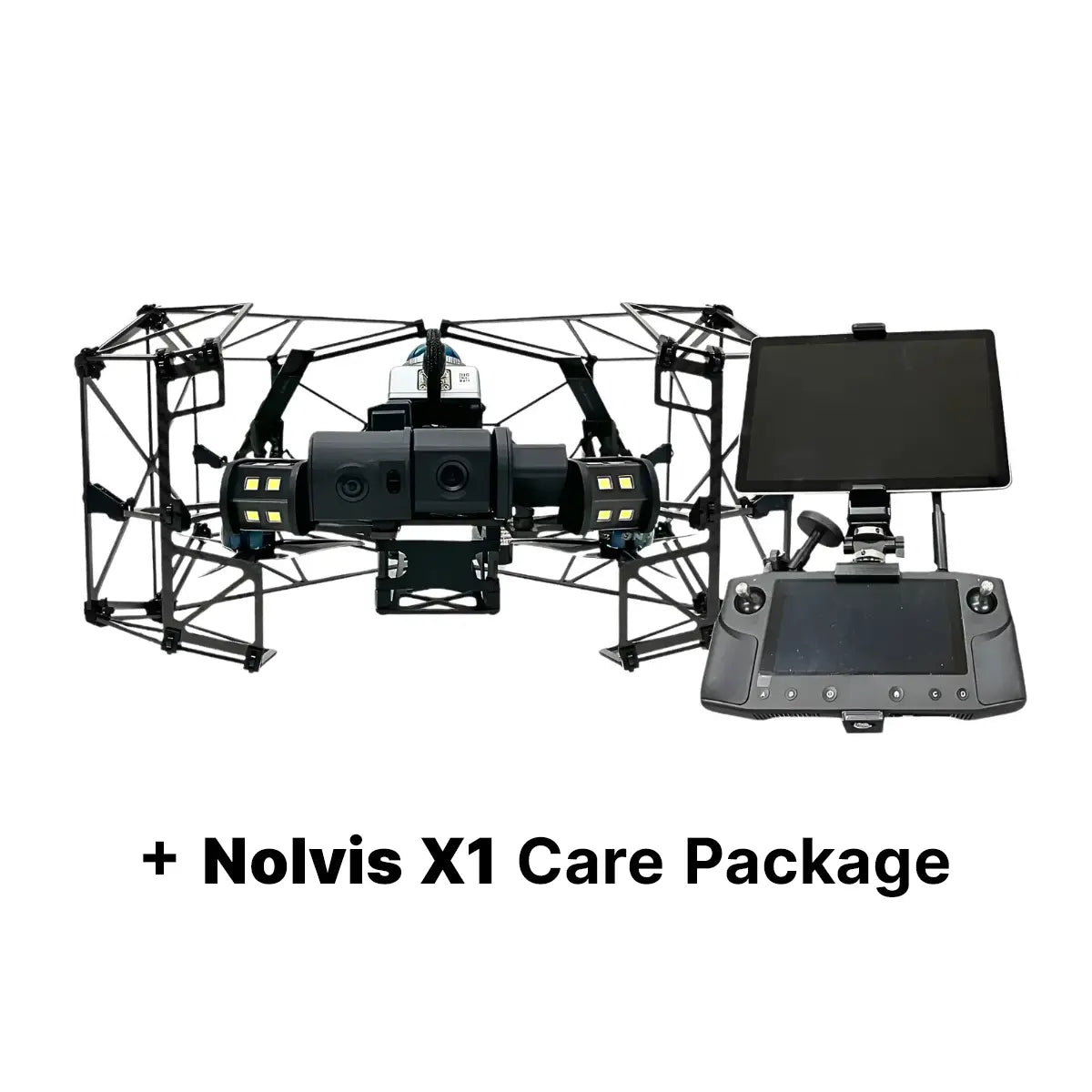
- Nolvis X1: indoor inspection drone with a protective cage that holds position without satellite positioning in confined spaces.
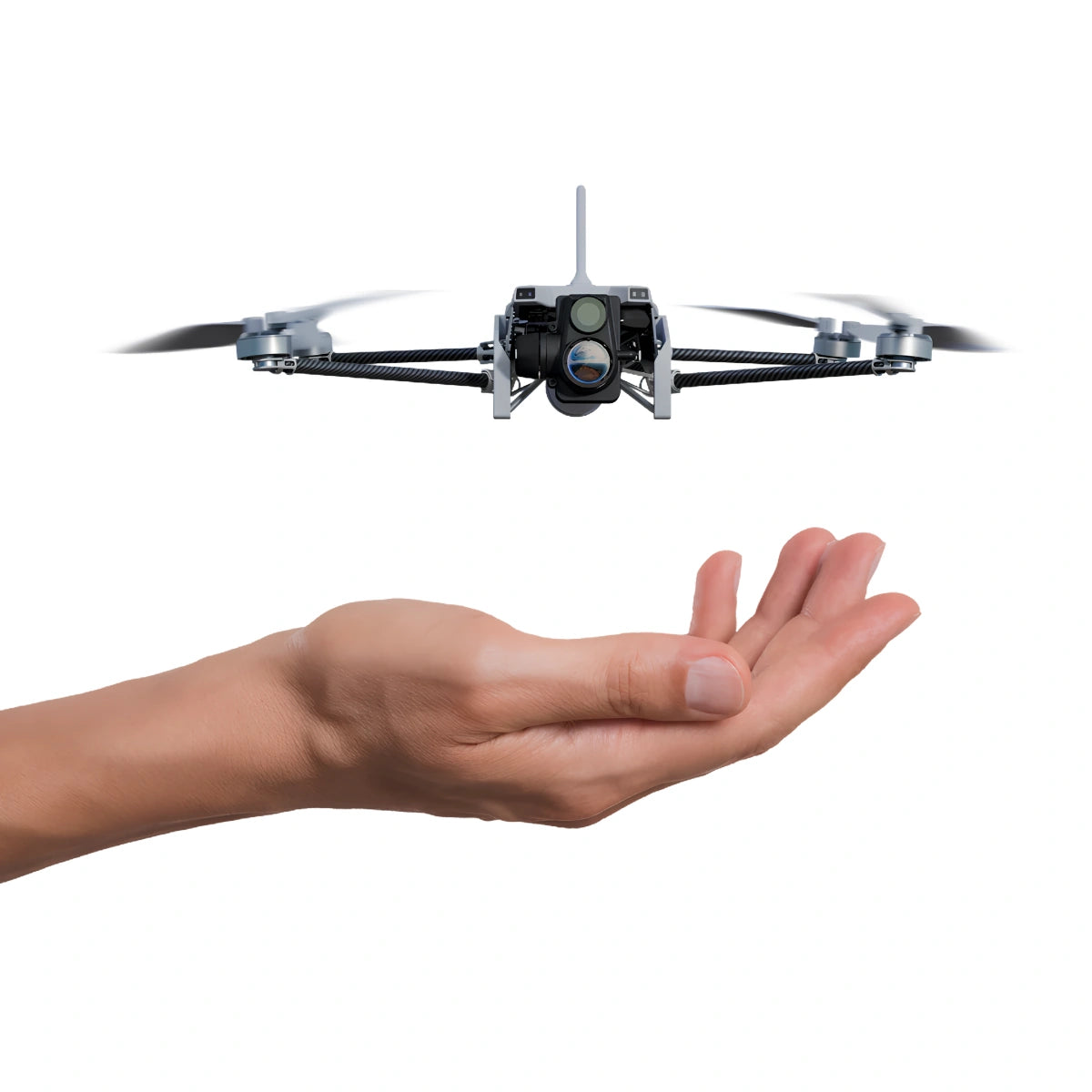
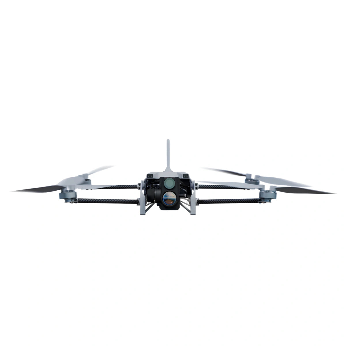
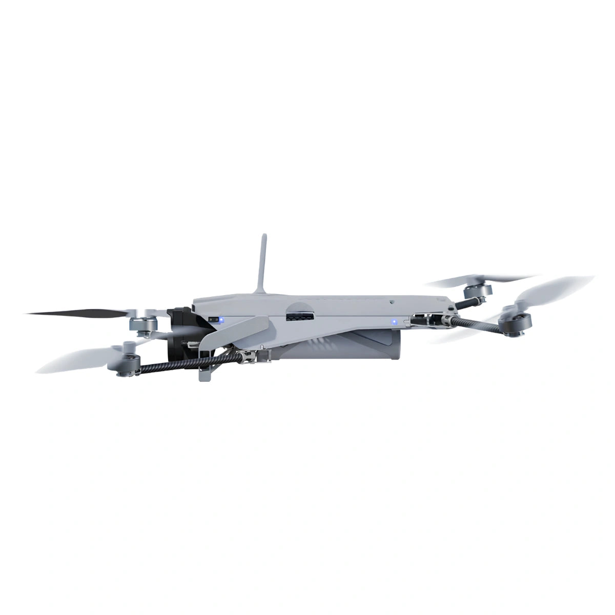
- Vantage Robotics Trace: US-made, NDAA-compliant, hand-launched nano drone with EO/IR imaging.
Endurance, Camera Architecture, and Weather Rating: What to Compare First
- Flight endurance: published flight times run from about 25 minutes on compact enterprise aircraft to 59 minutes on the flagship class, while cargo platforms trade endurance for lift.
- Camera architecture: integrated systems fly ready from the case, while swappable cameras let one aircraft cover several mission types.
- Thermal resolution: 640×512 sensors handle most inspection and search work, while 1280×1024 sensors resolve finer detail at longer standoff distances.
- Weather protection: IP ratings range from IP43 on compact aircraft to IP55 on flagship, docked, and delivery platforms.
- Lift capacity: options run from single fixed-camera aircraft to heavy-lift airframes rated for 33 lb (15.1 kg) of sensors and delivery aircraft that move 187 lb (85 kg) of cargo.
- Positioning accuracy: RTK modules and correction sources tighten positioning for mapping and repeat inspections.
- Obstacle sensing: vision, LiDAR, and radar coverage varies widely, and flying near wires and structures favors broader sensing.
- Transmission link: longer range and relay options matter on long corridors and obstructed sites.
- Ground control: some platforms ship with a dedicated smart controller, while others pair with third-party ground stations.
- Compliance status: foreign-produced, NDAA-compliant, and Blue UAS Cleared aircraft serve different procurement requirements.
- Deployment model: handheld launch, docked automation, and indoor confined-space flight each call for different aircraft.
| Platform | DJIMatrice 400 | DJIMatrice 4D / 4TD | ACSLSOTEN | WISPRSkyScout 2 Series | GDUS220 Pro | FreeflyAlta X Gen2 |
|---|---|---|---|---|---|---|
| Camera architecture | Field-swappable Zenmuse gimbal cameras | Integrated wide, tele, and laser rangefinder; 4TD adds thermal | One-touch swappable camera system | Interchangeable sensors on a single power and data plug | Integrated quad-sensor camera system | Smart Dovetail interface for Freefly and third-party payloads |
| Max flight time | 59 minutes | 54 minutes | 25 minutes with standard camera | 35 minutes with no payload | 41 minutes | See product page |
| Weather rating | IP55 | IP55 aircraft, IP56 Dock 3 | IP43 | See product page | IP43 | See product page |
| Lift capacity | 13.2 lb (6 kg) | Integrated cameras only | Swappable cameras only | 30 minutes flight with 2.2 lb (1 kg) | Integrated cameras only | 33 lb (15.1 kg) |
| Thermal option | With Zenmuse H30T | 4TD: 640×512 (1280×1024 UHR mode) | With EO/IR camera module | Payload dependent | 640×512 or 1280×1024 | Payload dependent |
| Compliance | Foreign-produced | Foreign-produced | NDAA-compliant | NDAA-compliant; SkyScout 2+ Blue UAS Cleared | Foreign-produced | NDAA version available |
| Primary role | Multi-sensor inspection, mapping, and LiDAR | Docked and remote operations | Compact multi-mission field work | Survey and mapping with RTK or PPK | Thermal inspection and public safety | Heavy sensors and cinema rigs |
Scroll horizontally to view all columns on smaller screens.
Matching the Airframe to Your Cameras, Controllers, and Software
- Camera mounts: gimbal and quick-release interfaces are brand-specific, so confirm the mount before buying additional cameras or sensors.
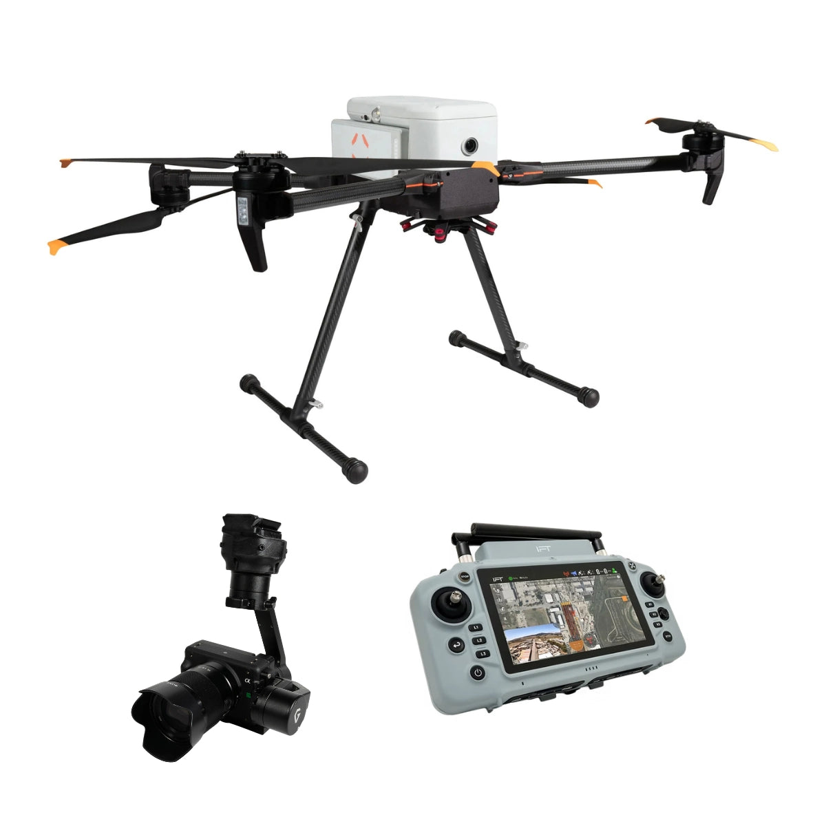
- Shared ecosystems: Freefly Astro and Alta X Gen2 share payloads, and the Matrice 400 accepts Zenmuse H30 series, L2, L3, and P1 cameras.
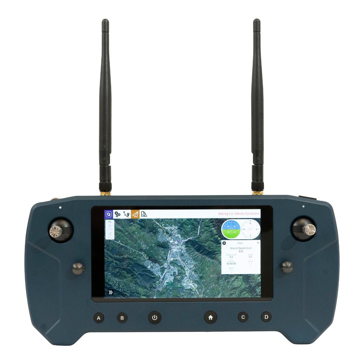
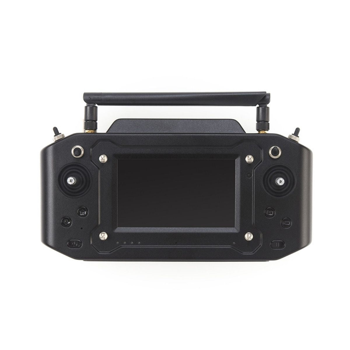
- Controllers: smart controllers are matched to aircraft families, such as the DJI RC Plus 2 Enterprise for the Matrice 4 and 4D series.
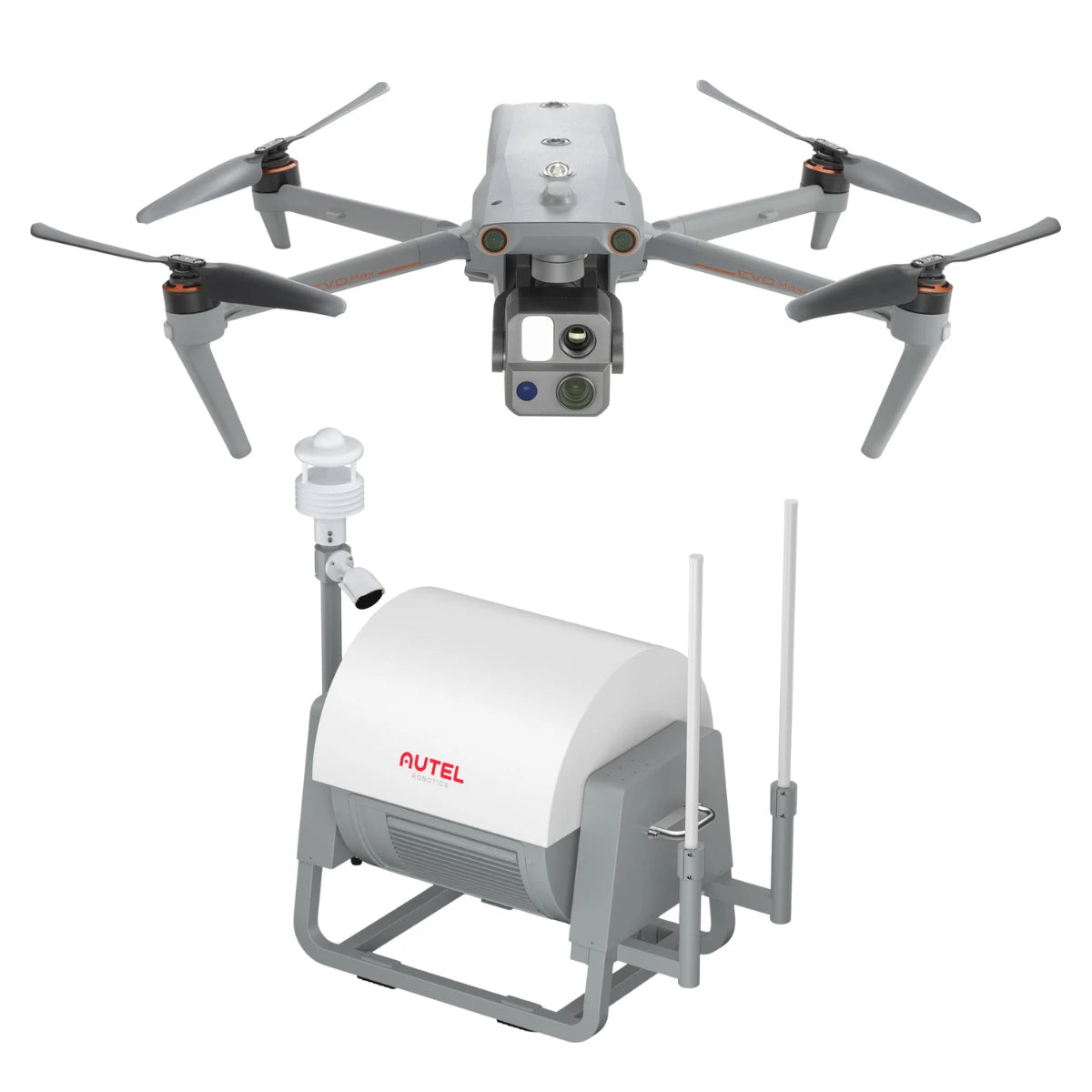
- Docking: DJI Dock 3 is built around the Matrice 4D and 4TD, and the Autel EVO Nest pairs with the EVO Max 4T XE.
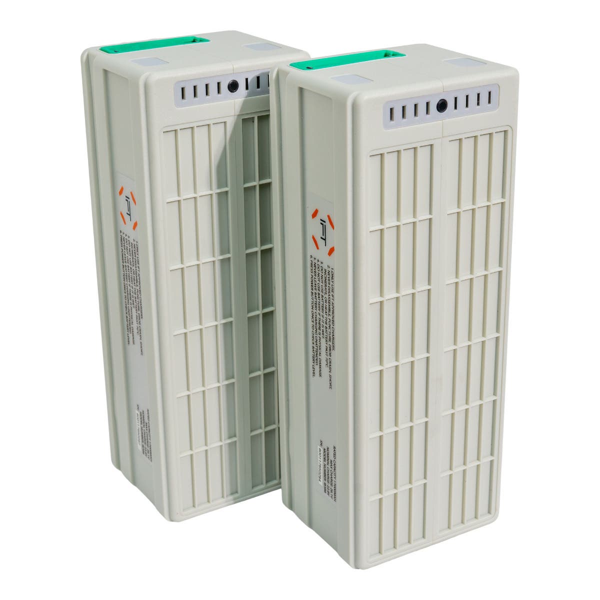
- Batteries and charging: flight batteries and charging stations are platform-specific, so plan a rotation that covers a full field day.
- Flight software: mission planning runs in each brand's own app, including DJI Pilot 2 and FlightHub 2, WISPR Ground Control, GDU Flight II, and Nolvis X1 Cloud.
- RTK correction: RTK-equipped aircraft need a base station or network correction source to reach survey-grade accuracy.
Field Roles Covered by This Drone Collection
- Infrastructure inspection: zoom and thermal cameras document towers, bridges, roofs, and substations from a safe standoff distance.
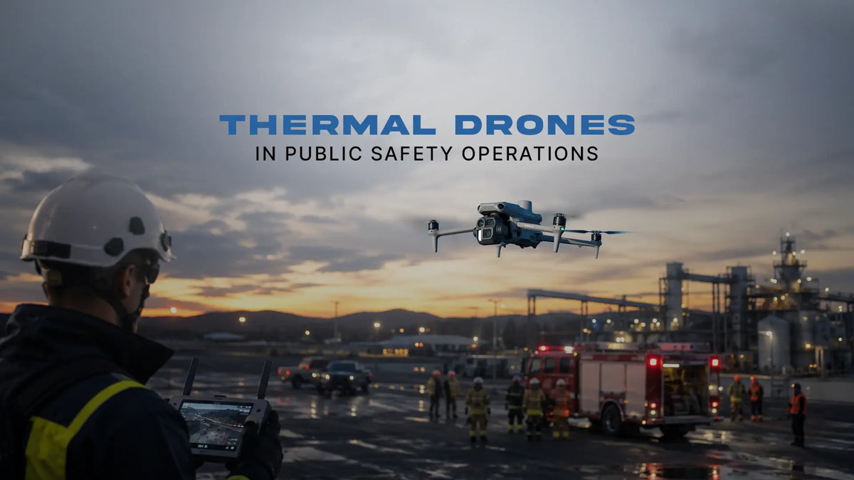
- Public safety and search and rescue: thermal aircraft help locate people and hotspots in darkness and low visibility.
- Mapping and surveying: RTK aircraft and mapping cameras produce orthomosaics, 3D models, and LiDAR point clouds.
- Agriculture: spraying drones treat crops while multispectral aircraft map plant health across large fields.
- Remote monitoring: docked systems fly scheduled or on-demand missions without a crew on site.
- Confined space inspection: indoor drones enter tanks, boilers, tunnels, and shafts so workers stay outside.
- Heavy-lift and delivery: large airframes move cargo and heavy sensors where ground access is slow.
- Tactical overwatch: compact and nano aircraft give officers fast aerial awareness on scene.
- Aerial production: creator drones capture stills and video for marketing, media, and documentation.
Choosing a Drone by Mission, Environment, and Procurement Rules
- Start with the deliverable: decide whether you need thermal readings, survey-grade maps, LiDAR, or video before comparing airframes.
- Check procurement rules: programs with federal funding or contract requirements may need NDAA-compliant or Blue UAS Cleared aircraft.
- Match the environment: confirm weather rating, wind tolerance, and whether you will fly indoors or without satellite positioning.
- Pick fixed or swappable: a single mission type favors an integrated camera system, while mixed work favors a swappable platform.
- Plan the full kit: batteries, charging, controller, RTK source, and software decide real uptime in the field.
- Think about the next aircraft: docks and shared ecosystems make it simpler to add capability later.
No single aircraft covers every mission, which is why this collection spans compact thermal drones, flagship multi-camera platforms, docked systems, heavy-lift airframes, and indoor inspection aircraft. The right pick comes down to the data you need, the conditions you fly in, and the procurement rules your program follows.
DSLRPros has spent decades putting drones into the hands of public safety teams, inspectors, surveyors, and growers, and our specialists match airframe, camera, and support plan to the work you actually fly. We can help configure batteries, controllers, RTK, and training so the aircraft is ready to deploy on arrival. Browse the collection and order your next drone from DSLRPros today.
Frequently Asked Questions
How do I choose the right professional drone for my work?
Start with the data you need to bring back, such as thermal readings, survey maps, LiDAR point clouds, or inspection video. That decides whether you need an integrated camera system or a platform that accepts swappable cameras and sensors. Next, match endurance, weather rating, and obstacle sensing to the conditions you fly in. Finally, confirm whether your program has procurement rules that require NDAA-compliant or Blue UAS Cleared aircraft.
What is the difference between an integrated camera system and a swappable camera?
An integrated camera system is built into the aircraft and cannot be removed or exchanged, so the drone flies ready from the case with a fixed set of sensors. Swappable cameras mount on a gimbal or quick-release interface and can be changed in the field. Integrated systems suit teams that fly one type of mission repeatedly. Swappable platforms suit teams that move between thermal, zoom, mapping, and LiDAR work with a single airframe.
What does NDAA-compliant mean, and how is it different from Blue UAS Cleared?
NDAA-compliant aircraft are built without components from manufacturers restricted under the National Defense Authorization Act. Blue UAS Cleared aircraft go a step further, completing a Department of Defense review and appearing on the Blue UAS Cleared List. Clearance applies only to the specific models and configurations listed, so a compliant aircraft is not automatically cleared. Agencies with federal funding or contract requirements should confirm which standard applies to their program.
Can professional drones fly indoors or without GPS?
Most outdoor drones depend on satellite positioning and lose stability in enclosed spaces. Purpose-built indoor inspection drones, such as the Nolvis X1, combine LiDAR and visual odometry to hold position without satellite signals. A protective cage lets the aircraft tolerate contact with walls and structures in tight spaces. These drones are used for tanks, boilers, tunnels, and shafts where sending workers in carries real risk.
What else do I need besides the drone itself?
Plan for enough flight batteries and a charging solution to cover a full field day, since batteries and chargers are platform-specific. Survey and repeat inspection work typically requires an RTK base station or network correction source. Mission planning and data management software varies by brand, and some programs add cloud platforms for team access. Additional cameras, spotlights, speakers, and protective cases complete most enterprise kits.
How much flight time should I expect from a professional drone?
Published flight times for enterprise aircraft in this collection range from about 25 minutes on compact models to 59 minutes on flagship platforms, while heavy-lift cargo drones fly shorter in exchange for lift. Manufacturers measure these figures under controlled conditions, often with a specific camera attached and no wind. Real missions run shorter once wind, temperature, heavier sensors, and hovering are factored in. Carrying extra batteries is the most reliable way to extend time on station.
What is a docked drone system?
A docked drone system pairs an aircraft with a weatherproof station that launches, lands, and charges it automatically. Operators plan and monitor missions remotely through cloud software, so no pilot needs to be on site. Docks suit scheduled site inspections, security patrols, and rapid first response from a fixed or vehicle-mounted location. This collection includes the DJI Dock 3 with Matrice 4D series aircraft and the Autel EVO Nest with EVO Max 4T XE.