



About the Collection
Autel Mapper: Photogrammetry and 3D Reconstruction Software for Autel Enterprise Drones
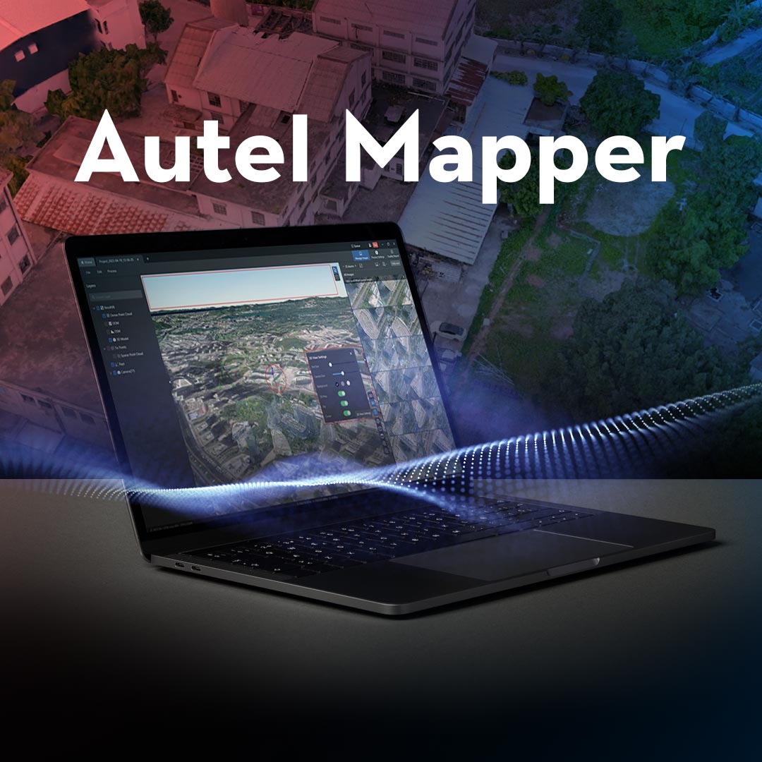
Autel Mapper is a desktop photogrammetry and mapping software platform developed by Autel Robotics for use with Autel enterprise drone imagery. It converts aerial image datasets into professional mapping deliverables: georeferenced 2D orthomosaics, dense point clouds, digital surface models (DSMs), digital terrain models (DTMs), and textured 3D mesh models. It is optimized for Autel enterprise aircraft including the EVO II Pro RTK V3, EVO Max 4T, and Dragonfish VTOL, and supports both rolling shutter and global shutter cameras. Pricing starts at $149 and is available in monthly, annual, and perpetual license formats at DSLRPros.
Autel Mapper is the native photogrammetry solution for Autel drone operators who want a tightly integrated processing pipeline without relying on third-party software. For operators using non-Autel aircraft, or requiring hardware-agnostic processing with broader sensor support and survey-grade GCP workflows, PIX4Dmapper is the alternative available at DSLRPros in the PIX4D software collection.
What Autel Mapper Does
Autel Mapper processes aerial imagery through three reconstruction modes. The 2D Map mode generates georeferenced orthomosaic outputs for survey, inspection, and site documentation workflows. The 2.5D Real-time Stitching mode produces rapid orthomosaics during or immediately after flight for time-sensitive applications. The 3D Model reconstruction mode generates textured mesh models and dense point clouds for infrastructure documentation, volumetric analysis, and 3D visualization.
The platform uses a combination of traditional photogrammetric algorithms and deep learning-based reconstruction to improve model integrity and handle large, complex datasets. Aerial triangulation achieves a reported pass rate of 0.98, adapts to a variety of camera types, and handles large image volumes efficiently. The software supports up to 30,000 images per processing node, making it suited for large-area enterprise mapping missions that produce high image counts across multiple flights. Centimeter-level accuracy (1:500 mapping precision) is achievable when using compatible Autel RTK aircraft with network RTK or base station RTK positioning.
Outputs are compatible with professional GIS and CAD platforms. Supported export formats include GeoTIFF (orthophotos), LAS/LAZ (point clouds), OBJ/OSGB/SLPK (3D models), DSM/DTM (elevation models), and XML. Processing can run locally on a workstation or via cloud integration for larger projects where local hardware is a bottleneck.
System Requirements
Autel Mapper is a Windows-only desktop application with demanding hardware requirements driven by its CUDA-accelerated GPU processing pipeline.
- Operating system: Windows 10 or later (64-bit)
- Processor: Intel Core i7-10700 or better; higher clock speeds reduce processing time on large datasets
- Graphics card: NVIDIA GeForce RTX 2080 Ti or higher; NVIDIA GPU required for CUDA acceleration — AMD and integrated graphics are not supported
- RAM: 32 GB minimum; 64 GB or more recommended for datasets of 1,000 or more images
- Video memory: 8 GB VRAM or higher
- Storage: 500 GB SSD minimum for OS and cache; additional high-capacity storage required for project files
Autel Mapper is not supported on macOS or Linux. Operators working on those platforms will need to evaluate alternative photogrammetry platforms such as PIX4Dmapper, which runs on both Windows and macOS.
Compatible Autel Aircraft
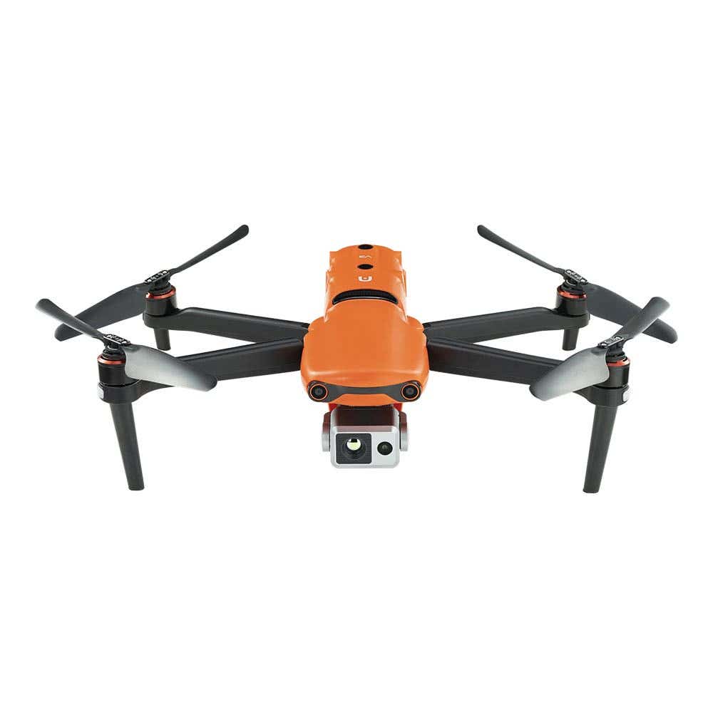
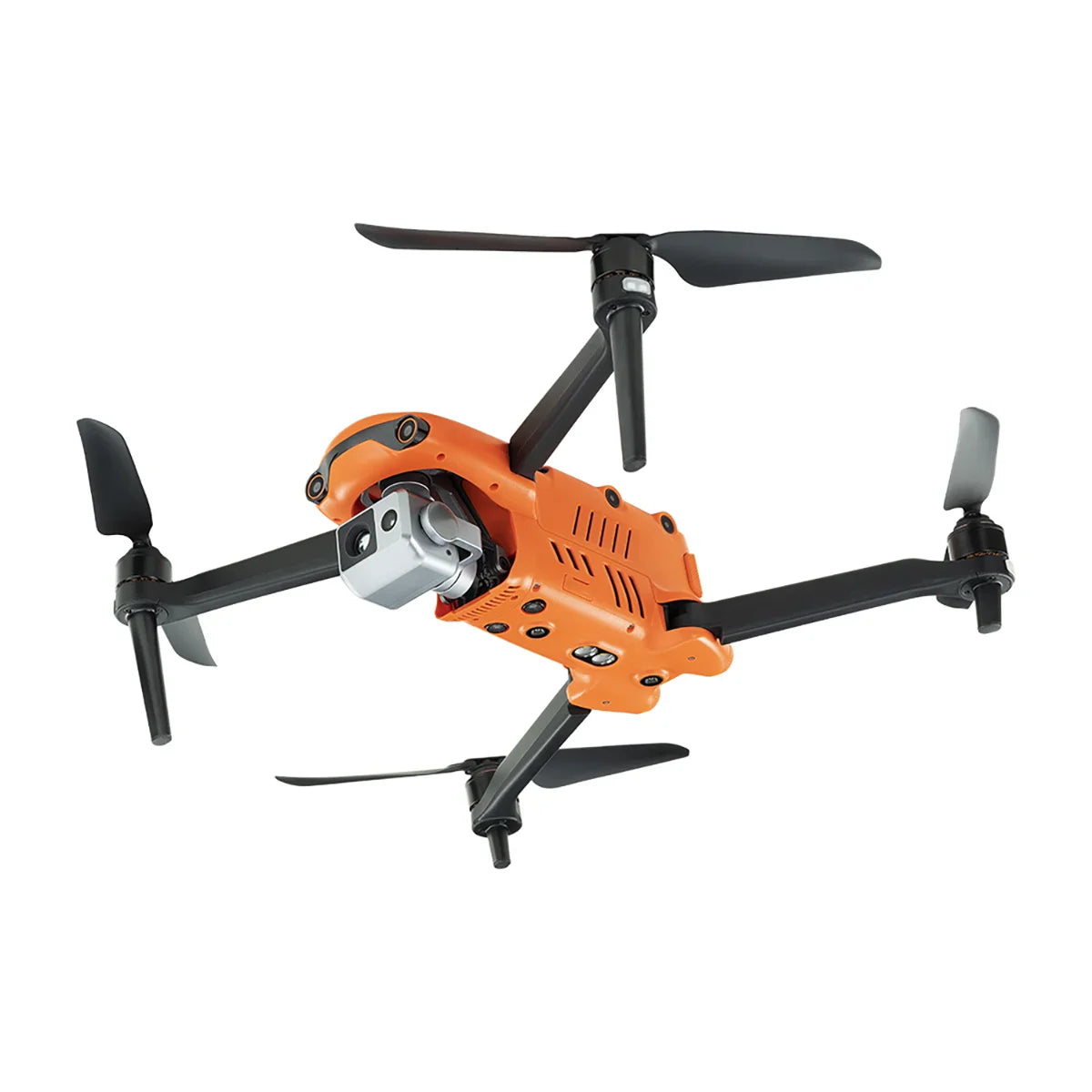
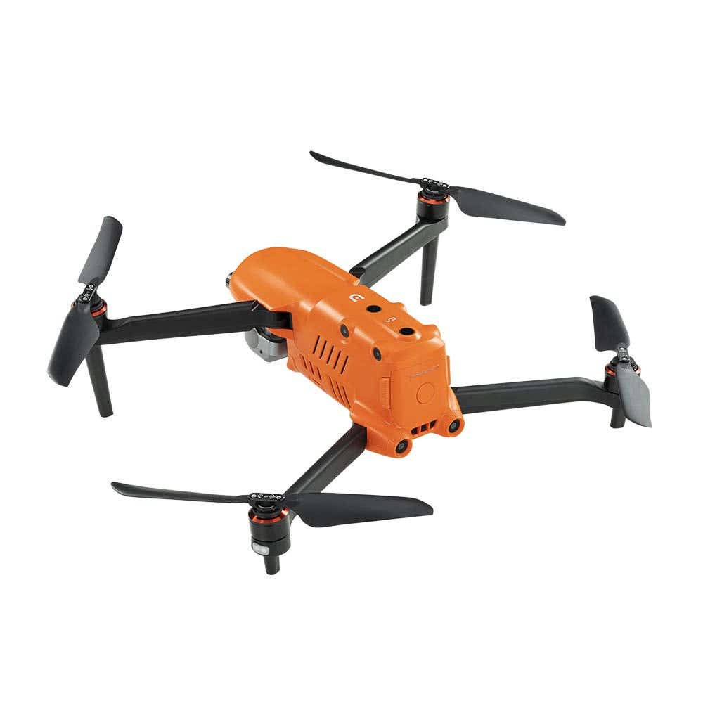
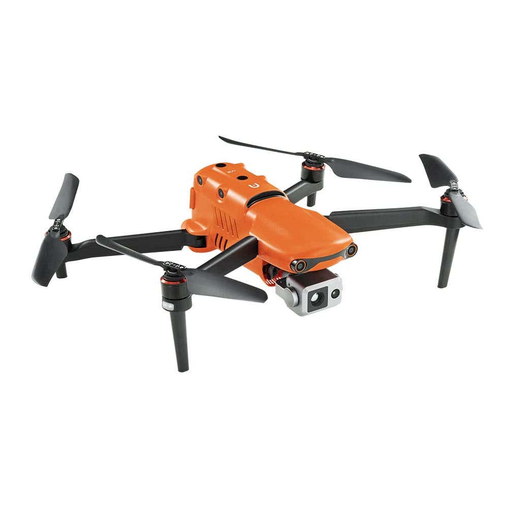
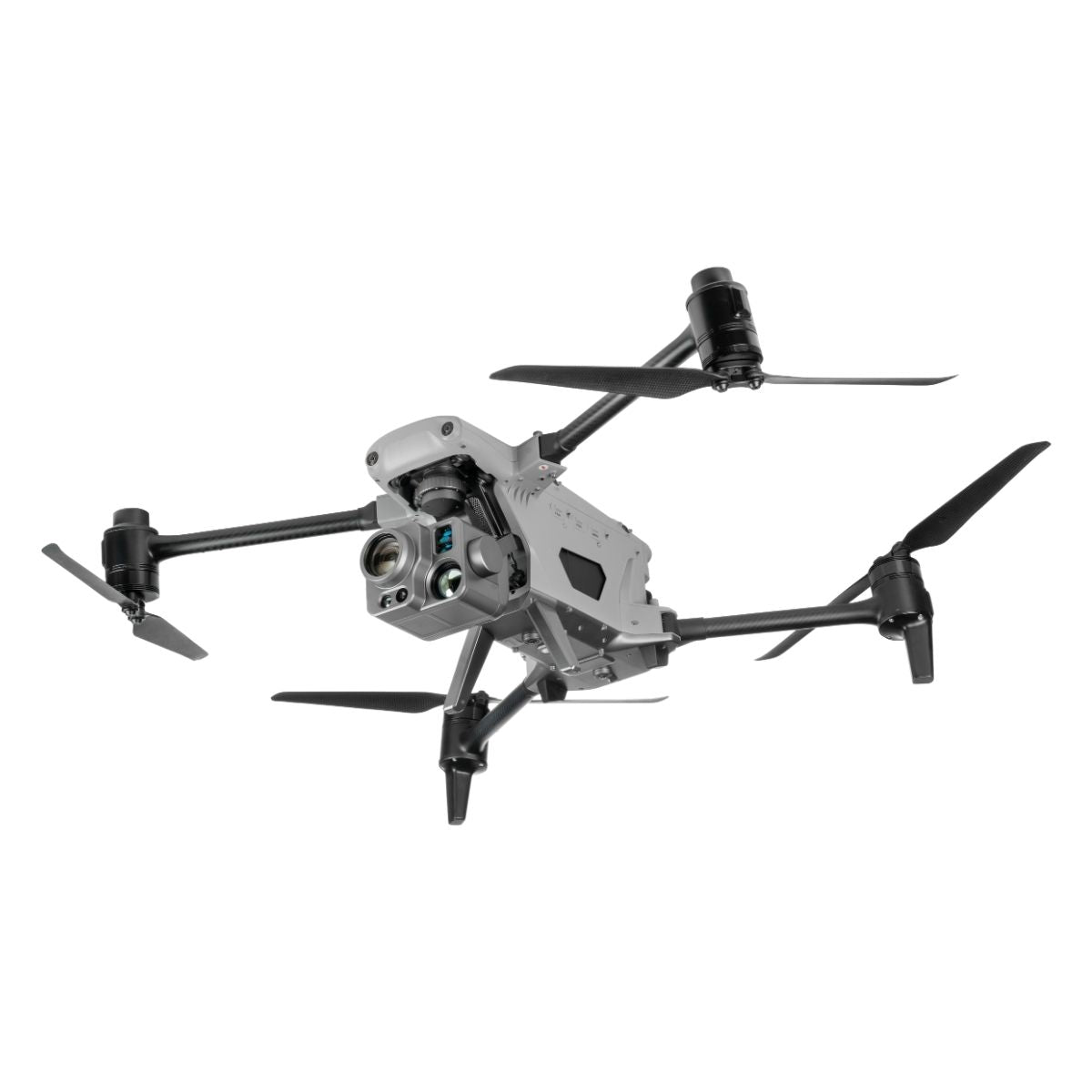
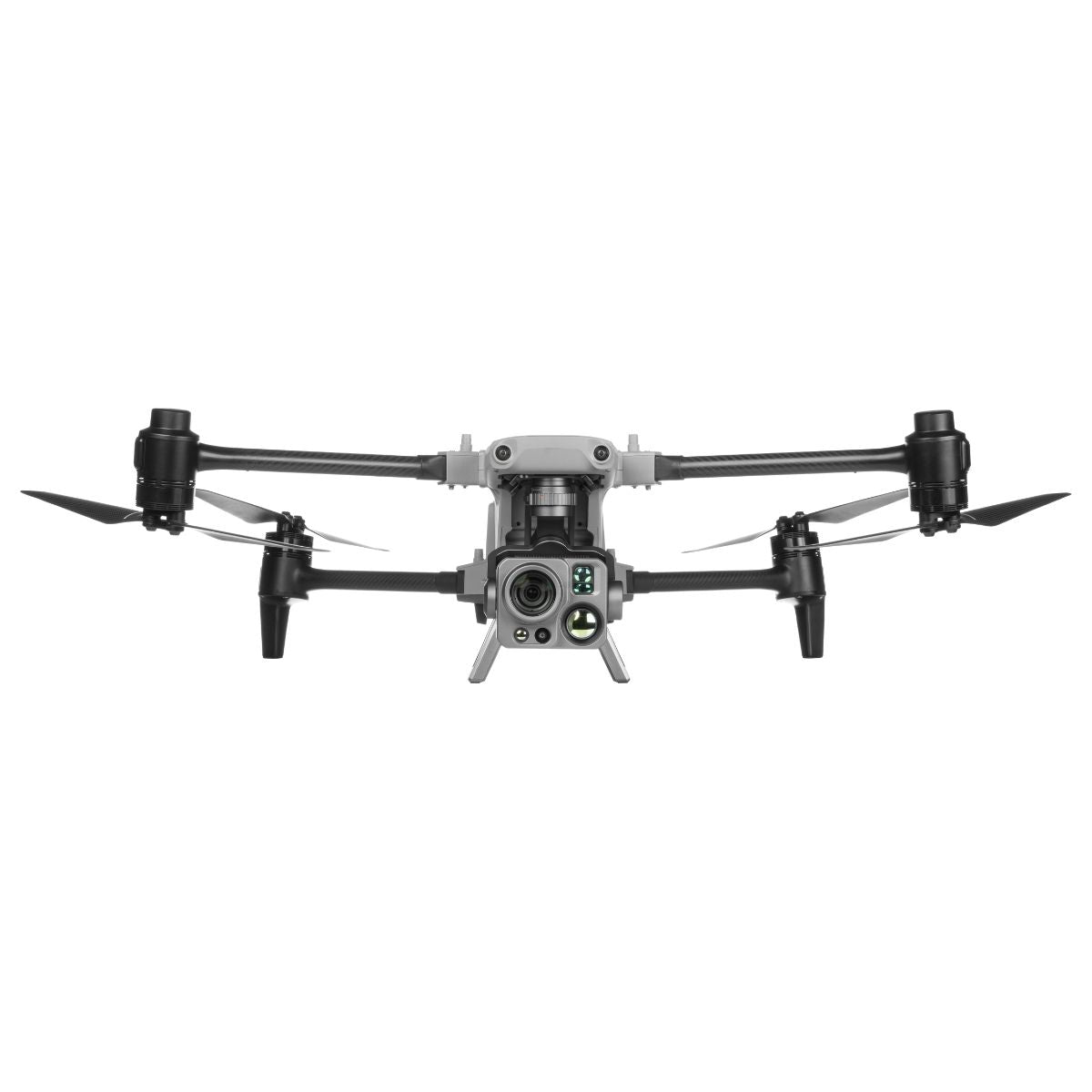
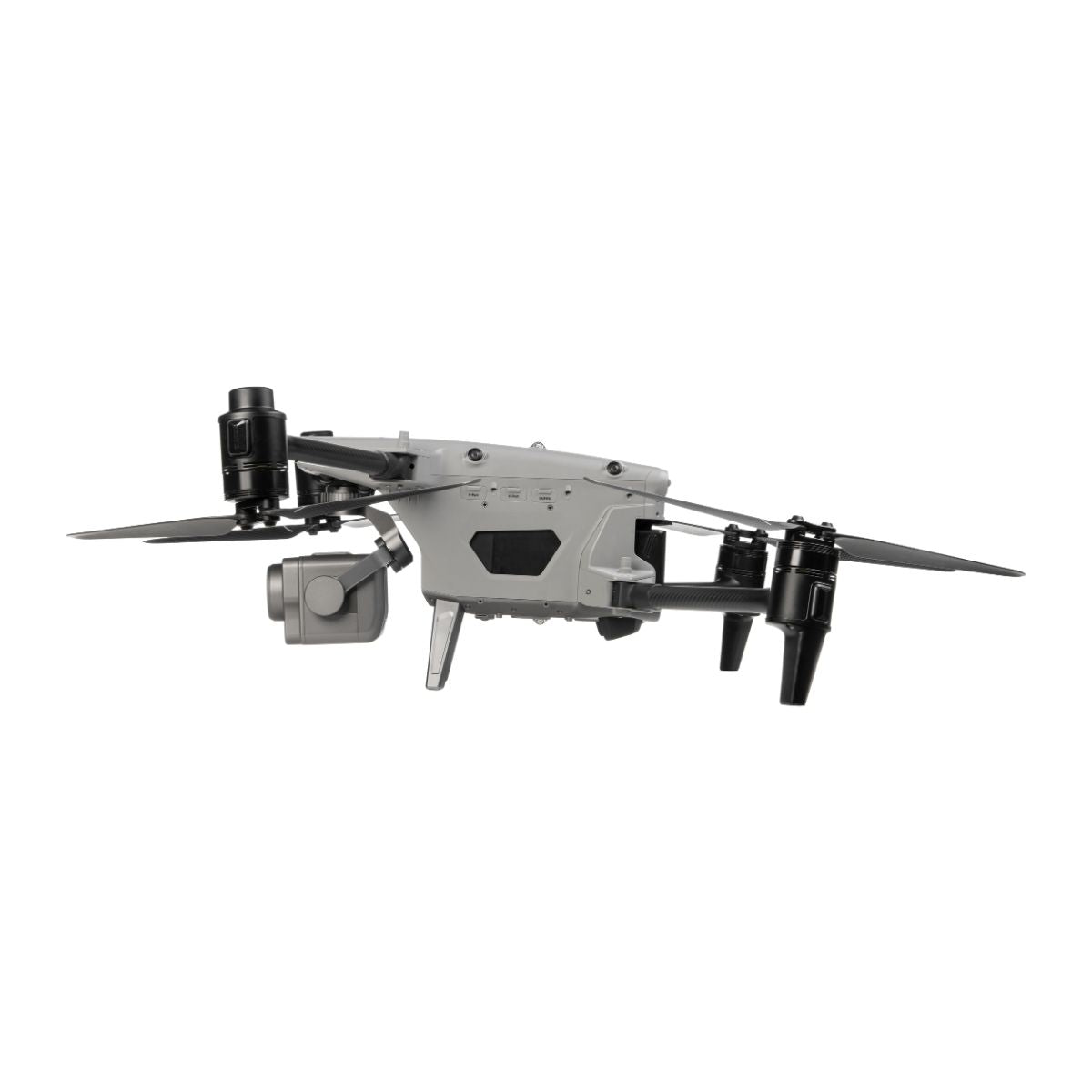
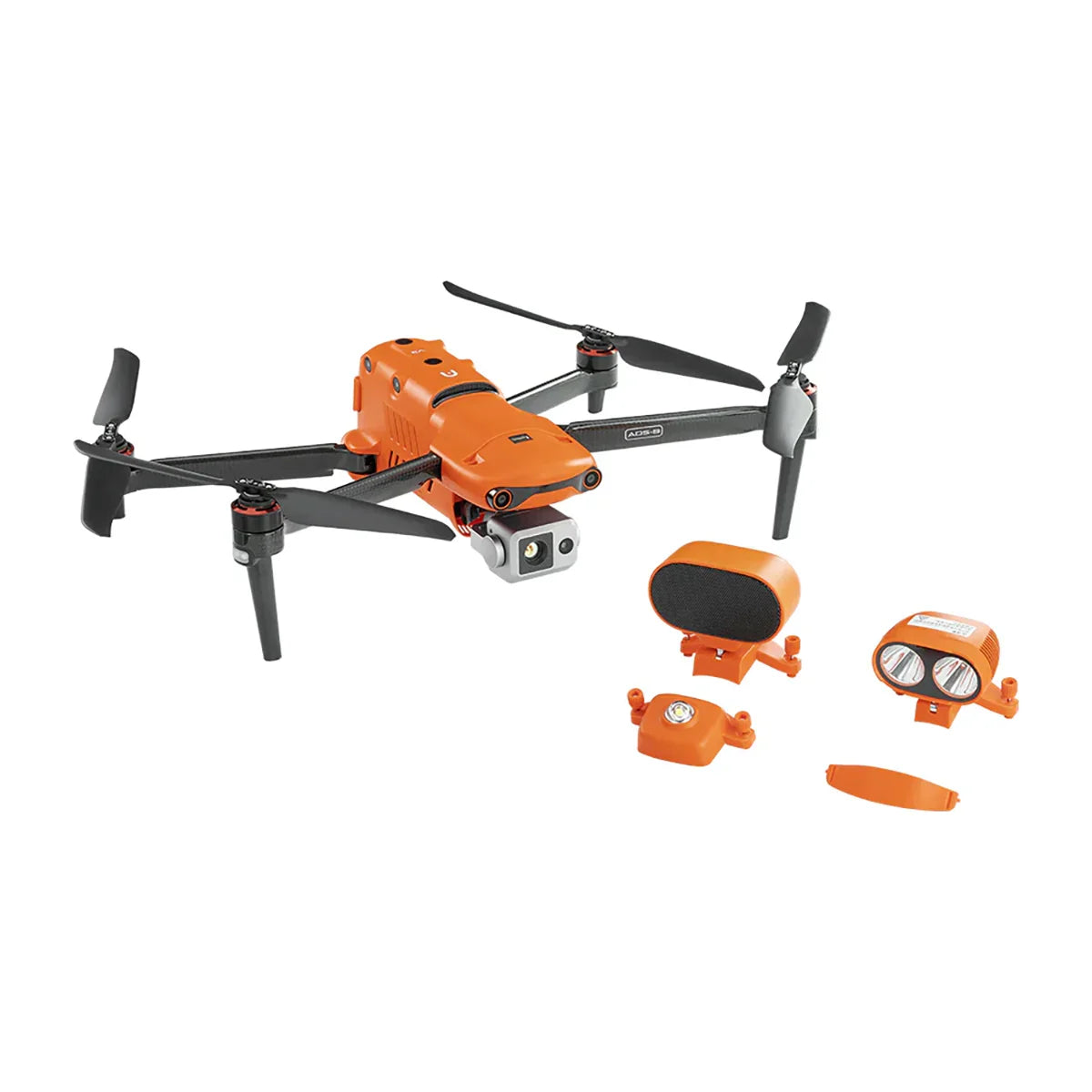
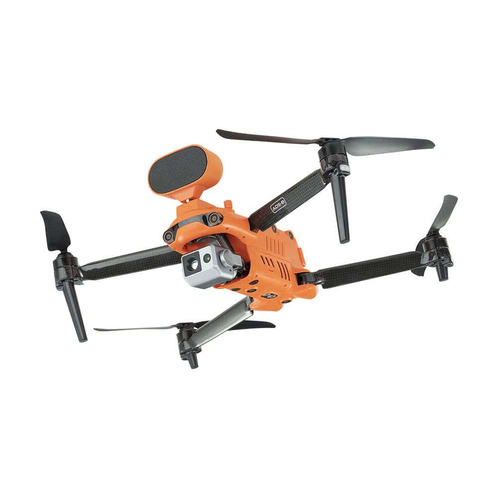
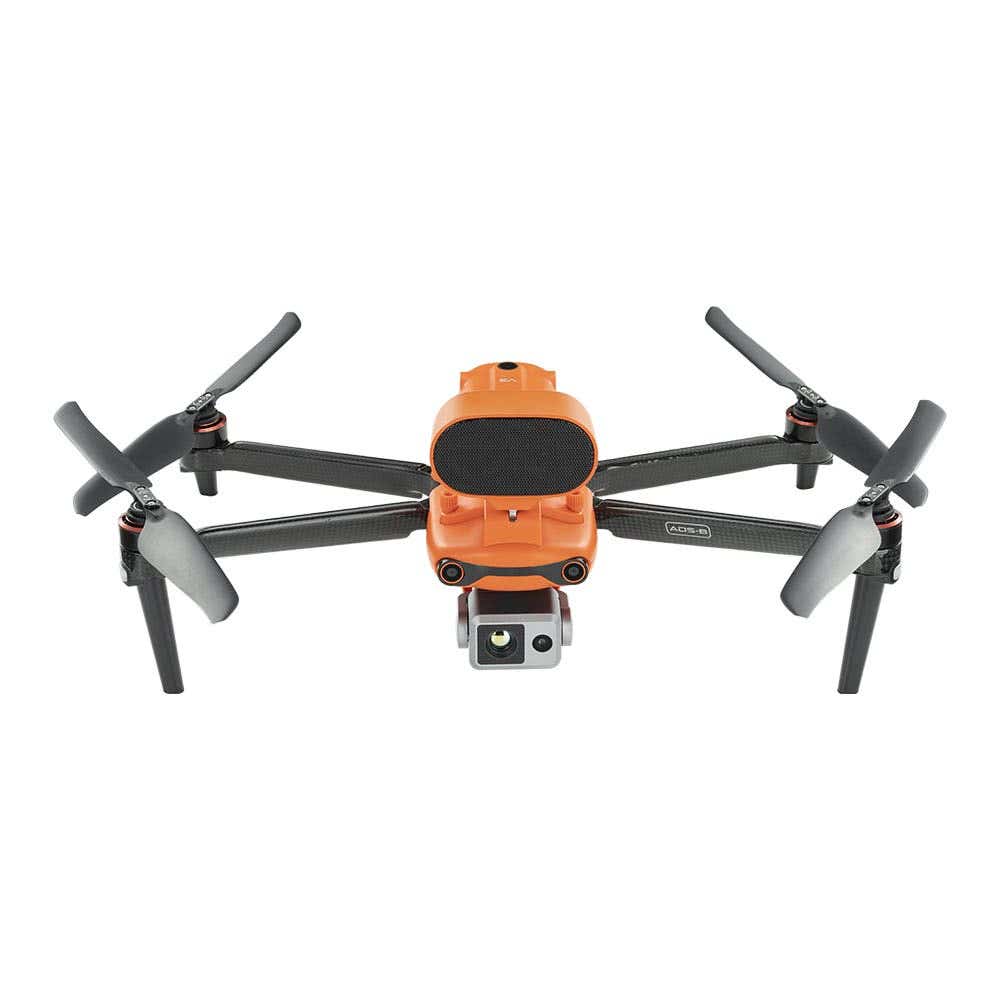
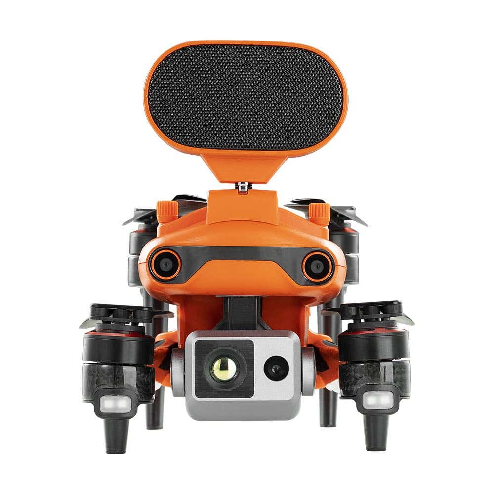
Autel Mapper is optimized for Autel Robotics enterprise platforms. Confirmed compatible aircraft include the Autel EVO II Pro RTK V3, Autel EVO Max 4T, and Autel Dragonfish VTOL. The software supports imagery from both rolling shutter and global shutter cameras across the compatible Autel lineup. For mapping workflows requiring centimeter-level RTK accuracy, Autel RTK-capable aircraft paired with a network RTK subscription or base station RTK setup are required—confirm RTK account requirements with DSLRPros or Autel before purchase.
Autel Mapper vs. PIX4D: When to Use Each
Both Autel Mapper and PIX4Dmapper produce professional photogrammetric outputs, but they serve different use cases and fleet configurations.
Autel Mapper is the correct choice when: you fly exclusively Autel enterprise aircraft and want a native, tightly integrated processing workflow; your team prefers a single-vendor software stack; you need local desktop processing without cloud dependency for sensitive data; or your project scale and hardware configuration meet the minimum system requirements.
PIX4Dmapper (available in the PIX4D collection at DSLRPros) is the correct choice when: you fly non-Autel aircraft alongside or instead of Autel hardware; you need to process imagery from DJI, Inspired Flight, Sony, MicaSense, or other sensors; you need macOS support; you require survey-grade GCP workflows with advanced accuracy control and reporting; or your team works across multiple drone platforms that need a common processing environment.
Licensing Options at DSLRPros
Autel Mapper is available at DSLRPros in three license formats:
- Monthly subscription: entry point for operators who need Autel Mapper for project-based work without a long-term commitment
- Annual subscription: lower effective monthly cost than the monthly option; appropriate for operators running ongoing Autel fleet mapping programs
- Perpetual license: one-time purchase with no recurring subscription; the correct format for programs that need predictable software costs and plan to use Autel Mapper long-term
Contact DSLRPros to confirm which license tier matches your project frequency and workflow before purchasing.
Frequently Asked Questions
What file formats does Autel Mapper output?
Autel Mapper exports GeoTIFF for georeferenced orthophotos, LAS and LAZ for point clouds, OBJ, OSGB, and SLPK for 3D mesh models, DSM and DTM for elevation models, and XML for project metadata. These formats are compatible with industry-standard GIS platforms including QGIS and ArcGIS, and CAD environments including AutoCAD and Civil 3D.
Does Autel Mapper work without an internet connection?
Autel Mapper supports local desktop processing, which means datasets can be processed without a cloud connection or continuous internet access. Cloud processing is available as an option for large projects where local hardware is insufficient, but it is not required. This makes Autel Mapper suitable for programs with data security requirements that prohibit cloud storage of mission imagery.
Can Autel Mapper process imagery from non-Autel drones?
Autel Mapper is developed and optimized for Autel enterprise aircraft. While it may technically accept imagery from other platforms, it is not designed or officially supported for non-Autel drone imagery. For hardware-agnostic processing of imagery from DJI, Inspired Flight, Freefly, Sony, or other platforms, PIX4Dmapper is the appropriate platform — it processes imagery from any drone or camera without manufacturer restrictions.
Is an RTK subscription required to use Autel Mapper?
An RTK account or subscription is required separately if you intend to use network RTK positioning with a compatible Autel RTK aircraft during flight data collection. The RTK account is an Autel service for NTRIP connectivity during flight, not a component of the Autel Mapper software license. Autel Mapper itself does not require an RTK subscription to process imagery, but centimeter-level mapping accuracy requires RTK-tagged imagery captured with a compatible aircraft and an active RTK data source during flight. Contact DSLRPros or Autel directly to confirm RTK account requirements for your specific aircraft and workflow.
What is the difference between Autel Mapper and Autel Explorer?
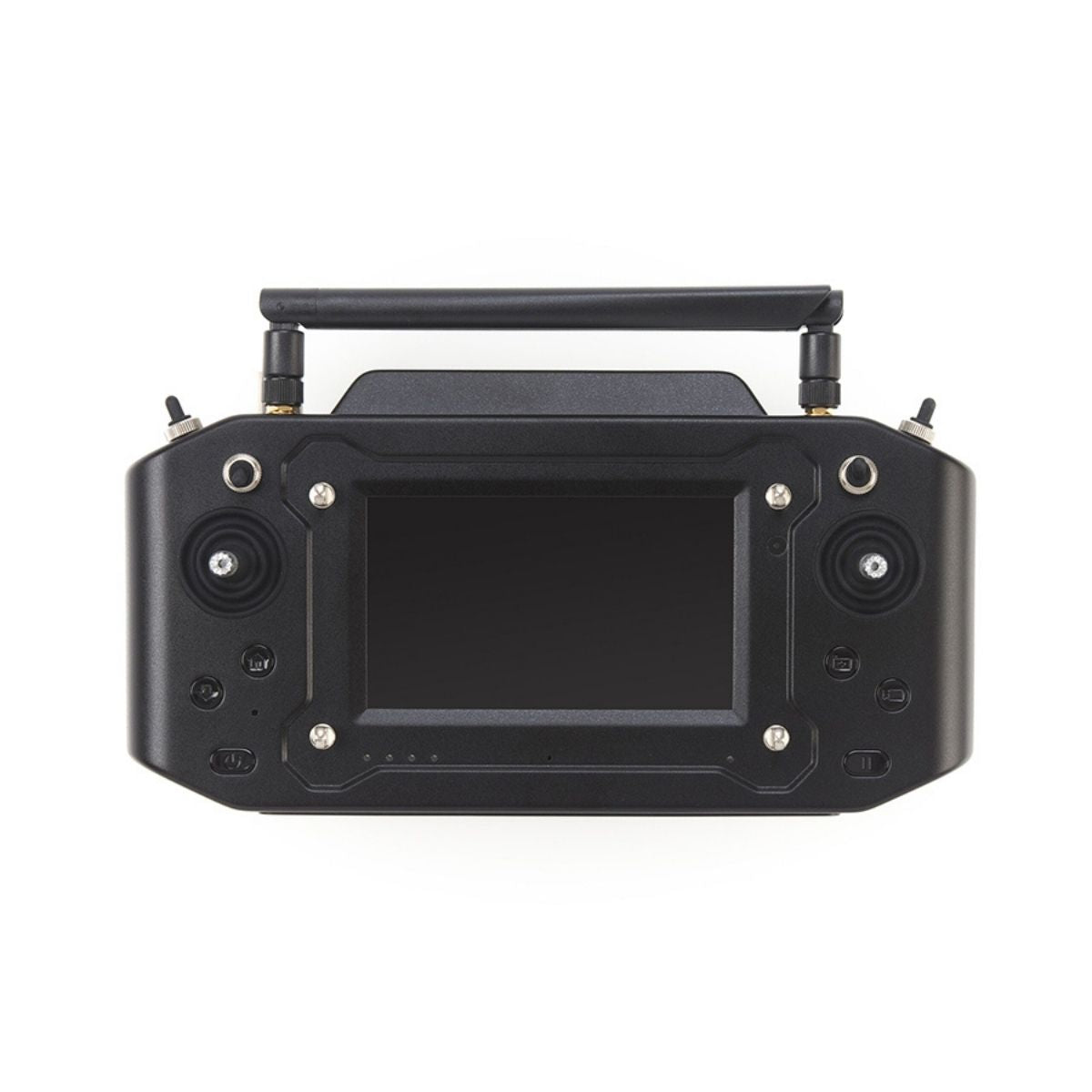
Autel Explorer is the Autel Robotics mission planning application used on the controller during flight — it handles route planning, autonomous mapping missions, ortho-mapping, 3D scanning, and crop data capture workflows from the aircraft. Autel Mapper is the desktop post-flight processing software that takes the imagery collected during those Explorer missions and converts it into orthomosaics, point clouds, and 3D models. The two tools cover different stages: Explorer for in-field flight execution, Autel Mapper for office-based data processing.
DSLRPros is an authorized Autel Robotics dealer carrying Autel Mapper in monthly, annual, and perpetual license formats. Contact us to confirm which license option fits your workflow, verify compatibility with your specific Autel aircraft, or discuss whether Autel Mapper or a hardware-agnostic alternative like PIX4D is the better fit for your mapping program.