



About the Collection
GreenValley International LiDAR Systems: Airborne UAV and Handheld SLAM Scanners for Survey, Inspection, and Forestry
GreenValley International (GVI) is a Berkeley, California-based developer of 3D mapping hardware and software, specializing in airborne LiDAR payloads for UAV platforms and handheld SLAM scanning systems for ground-based workflows. DSLRPros carries GreenValley's full lineup of field hardware alongside the LiDAR360 and LiPowerline post-processing software available in the GreenValley software collection.
This collection covers three airborne UAV LiDAR payloads spanning compact short-to-medium range and medium-to-long range categories, and two handheld SLAM scanners for terrestrial and indoor mapping. All systems include integrated INS for precise georeferencing, and all are supported by the GreenValley LiDAR360 software ecosystem for post-flight processing. LiDAR360 and LiPowerline software are available separately at DSLRPros.
What LiDAR Is and Why It Complements Photogrammetry
LiDAR (Light Detection and Ranging) is an active sensing technology that measures distances by emitting laser pulses and recording the time each pulse takes to return from a surface. Unlike photogrammetry, which reconstructs geometry from overlapping images and requires sufficient surface texture and consistent lighting, LiDAR produces direct distance measurements that are independent of illumination conditions and can penetrate gaps in vegetation canopy to reach underlying terrain. A single laser pulse can produce multiple return signals from different surfaces at different heights, allowing LiDAR to simultaneously capture canopy tops, mid-vegetation, and ground surface in a single pass through dense forest.
The practical difference is this: for terrain modeling in forested areas, photogrammetry produces a surface model of the top of the canopy, while LiDAR produces a ground model beneath it. For power line inspection, LiDAR resolves conductor geometry and vegetation encroachment distances that camera-based systems cannot reliably measure at operational speeds. For large-area survey programs combining both data types, airborne LiDAR provides the point cloud and photogrammetry from the same system's integrated camera provides the color information to produce true-color point clouds and orthophotos in a single flight.
Understanding LiDAR Accuracy Specifications
LiDAR manufacturers publish accuracy figures in several forms that are not interchangeable. Understanding the difference is essential for evaluating whether a system meets the requirements of a specific project.
Range accuracy (also called point accuracy or ranging accuracy) is the per-point measurement precision of the laser sensor itself, expressed as a standard deviation at a specified range. A system with ±2 cm range accuracy at 20 m means that under controlled conditions, the distance measurement to an individual point is within 2 cm of the true distance approximately 68% of the time. This figure reflects the LiDAR sensor's intrinsic precision and does not account for positioning or attitude errors.
Vertical accuracy (also called system accuracy or vertical positioning error) is the end-to-end positional accuracy of the point cloud relative to real-world coordinates, incorporating the LiDAR sensor, the INS attitude solution, the GNSS positioning, and the boresight calibration. This is the number that matters for deliverables. A system with ±2 cm range accuracy may have ±5 cm vertical system accuracy at a given flight altitude, because the attitude errors of the IMU contribute to positional uncertainty that grows with flight altitude.
Relative accuracy (also called repeatability) is the precision of the system in measuring the same surface consistently across multiple passes or scans, independent of absolute georeferencing. This figure is relevant for change detection and monitoring programs where consistency across dates matters more than absolute coordinate accuracy.
System Comparison
| System | Type Platform | Weight Total System | Detection Range At Reflectivity | Point Rate Max Points/sec | Accuracy Vertical / Range | Camera Integrated | Primary Use Best For |
|---|---|---|---|---|---|---|---|
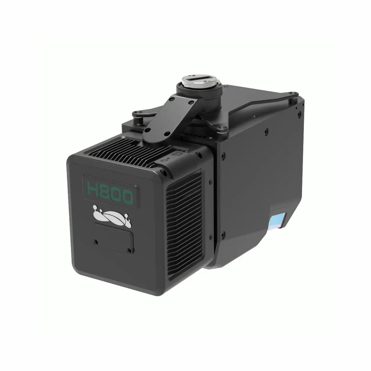
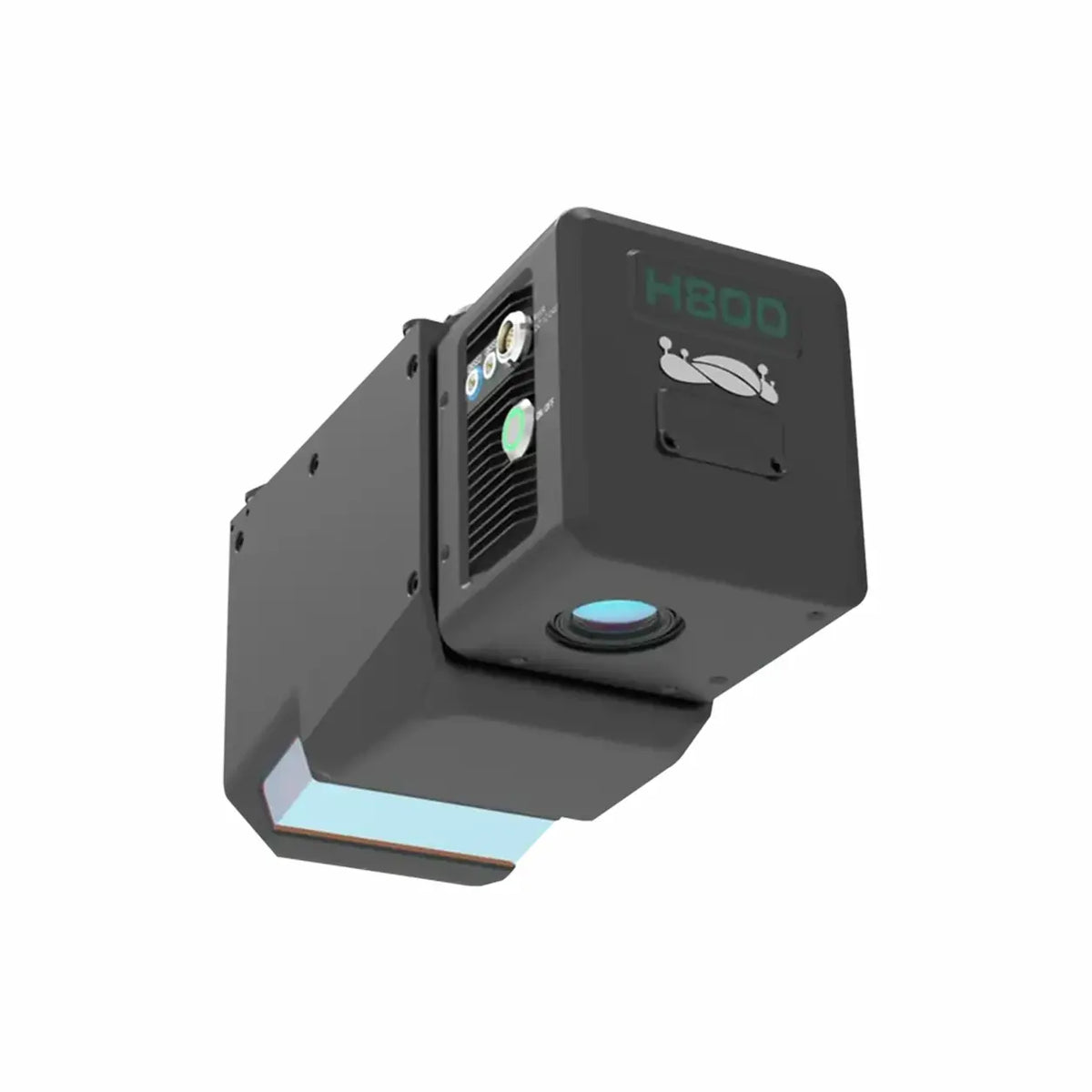
| LiAir H800 | Airborne UAV payload | 2.2 kg (4.85 lbs) | 350 m @ 10%; 790 m @ 50%; 1,000 m @ 80% | 1,000,000 pts/s; 1,000 kHz scan rate | ±5 cm vertical @ 200 m altitude | 26 MP mapping camera; 100° FOV; 4.7 cm res @ 200 m | Long-range corridor, forestry, powerline, large-area survey |
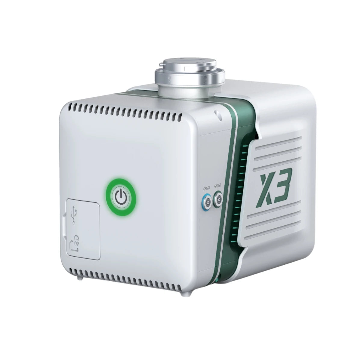
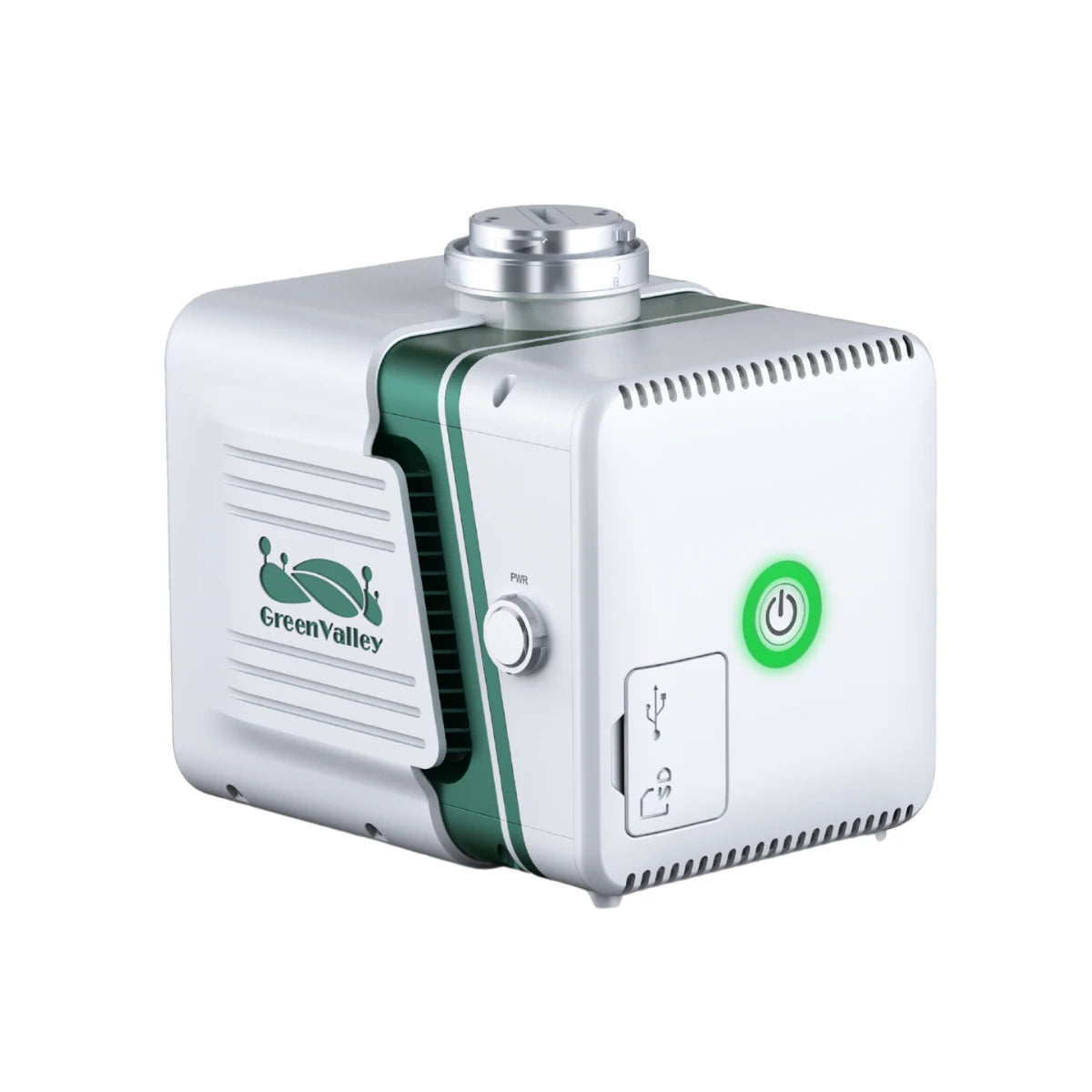
| LiAir X3C-H | Airborne UAV payload | 1.12 kg (2.47 lbs) | 80 m @ 10%; 200 m @ 54%; 300 m @ 90% | 1,920,000 pts/s triple return; 32-channel HESAI | ±2 cm range accuracy; centimeter-level vertical | 26 MP mapping camera; 360° H x 40.3° V FOV | Compact multi-platform UAV; powerline, topographic, forestry; GNSS-denied hybrid |
| LiAir X3-H | Airborne UAV payload (entry) | 1.25 kg (2.76 lbs) | 190 m @ 10%; 450 m @ 80% | 720,000 pts/s triple return; 905 nm | ±2 cm range accuracy; ±5 cm vertical @ 70 m | 26 MP mapping camera; 70.4° H x 4.5° V FOV; IP64 | Entry-tier airborne survey; topographic mapping, small-area inspection |
| LiGrip H300 | Handheld SLAM scanner | 1.5 kg (excl. battery) | Up to 300 m scan range | High-density rotating SLAM point cloud | Relative accuracy up to 1 cm; SLAM/PPK-SLAM/RTK-SLAM modes | Integrated HD camera | Complex indoor/outdoor environments; infrastructure, tunnels, urban mapping |
| LiGrip O2 Lite | Handheld SLAM scanner with RTK | Approx. 1.3 kg | Up to 70 m (80% reflectance); 905 nm laser | 200,000 pts/s (Mid360 LiDAR core) | Absolute: under 3 cm; relative: under 2 cm; RTK: 0.8 cm + 1 ppm H | 2 panoramic cameras (12 MP) + 2 visual SLAM cameras (1.3 MP); 360° H x -7° to 52° V | GNSS-denied environments, open featureless areas (airports, beaches), MLF-SLAM workflows |
Scroll horizontally to view all specifications. Range figures are reflectivity-dependent; verify against project requirements before purchase.
Airborne UAV LiDAR Systems
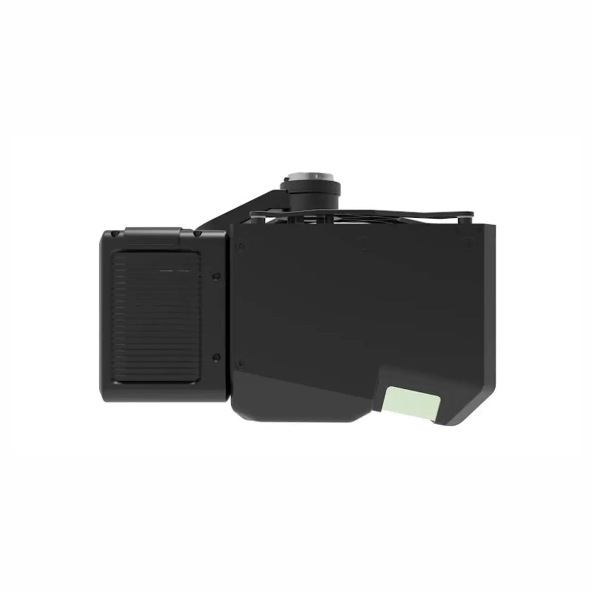
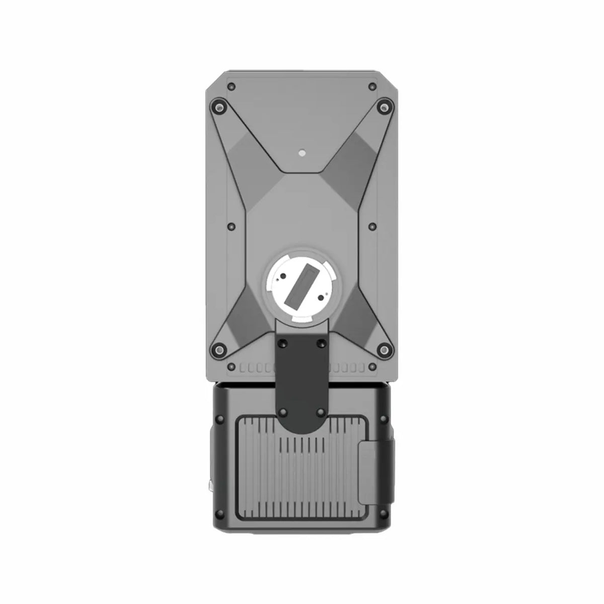
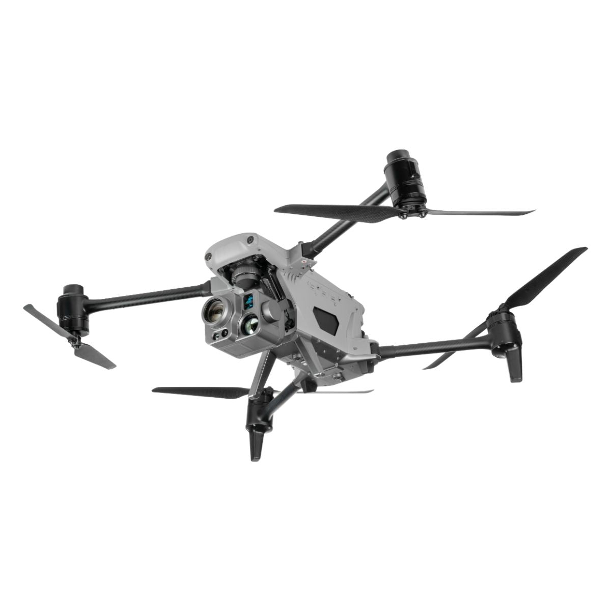
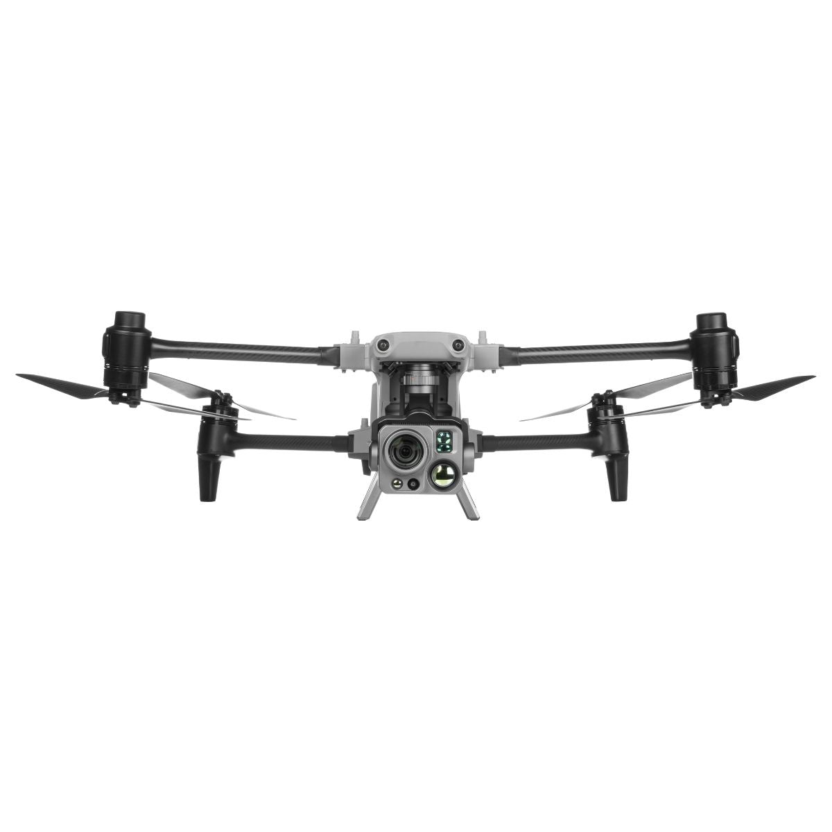
GreenValley LiAir H800 is GreenValley's medium-to-long-range UAV LiDAR payload, designed for corridor inspection, large-area topographic survey, and forestry missions where the coverage rate per flight hour matters as much as point density. At 2.2 kg, it mounts to the DJI Matrice 300 RTK, Matrice 350 RTK, and Matrice 400 via OSDK interface. The 1535 nm LiDAR sensor operates at 1,000 kHz, generating up to one million points per second across a 100° horizontal field of view, achieving swath widths exceeding 450 m at 200 m altitude and coverage rates up to 7 km² per hour. Maximum detection range is 1,000 m at 80% reflectivity (350 m at 10% reflectivity). Vertical system accuracy is ±5 cm at 200 m altitude with the integrated INS. The built-in 26 MP mapping camera produces 4.7 cm resolution imagery at 200 m altitude for true-color point cloud generation and orthophoto production. Storage is via 256 GB TF card. Power consumption is 61 W at 18 to 24 V.
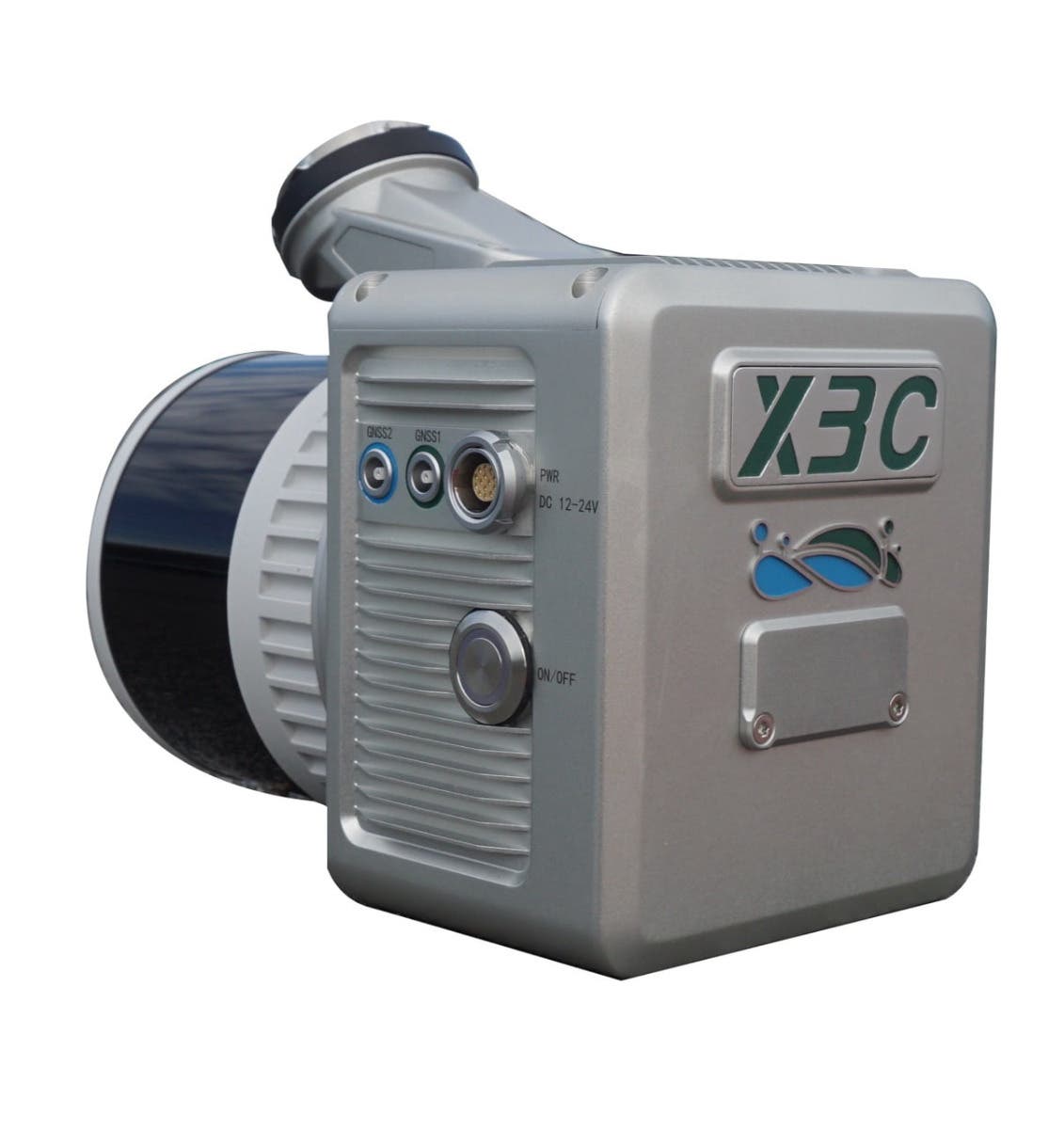
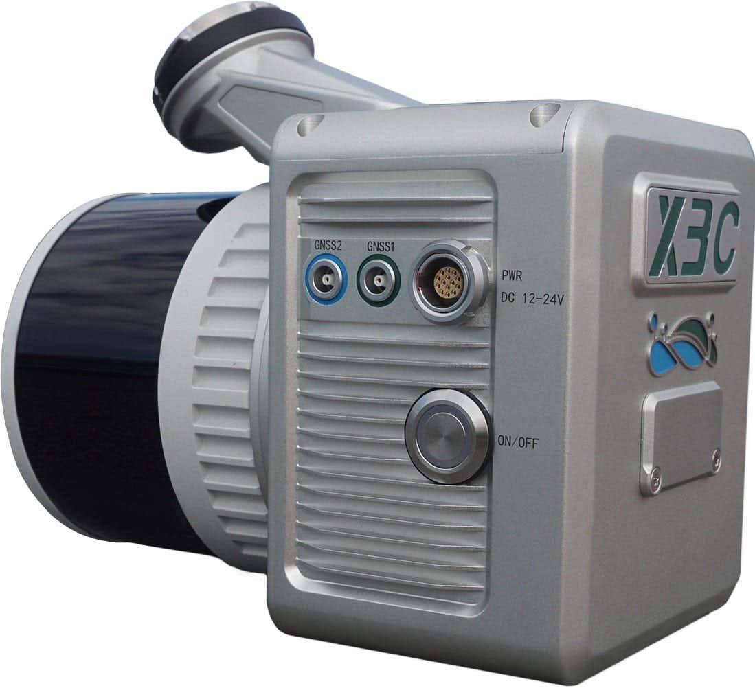
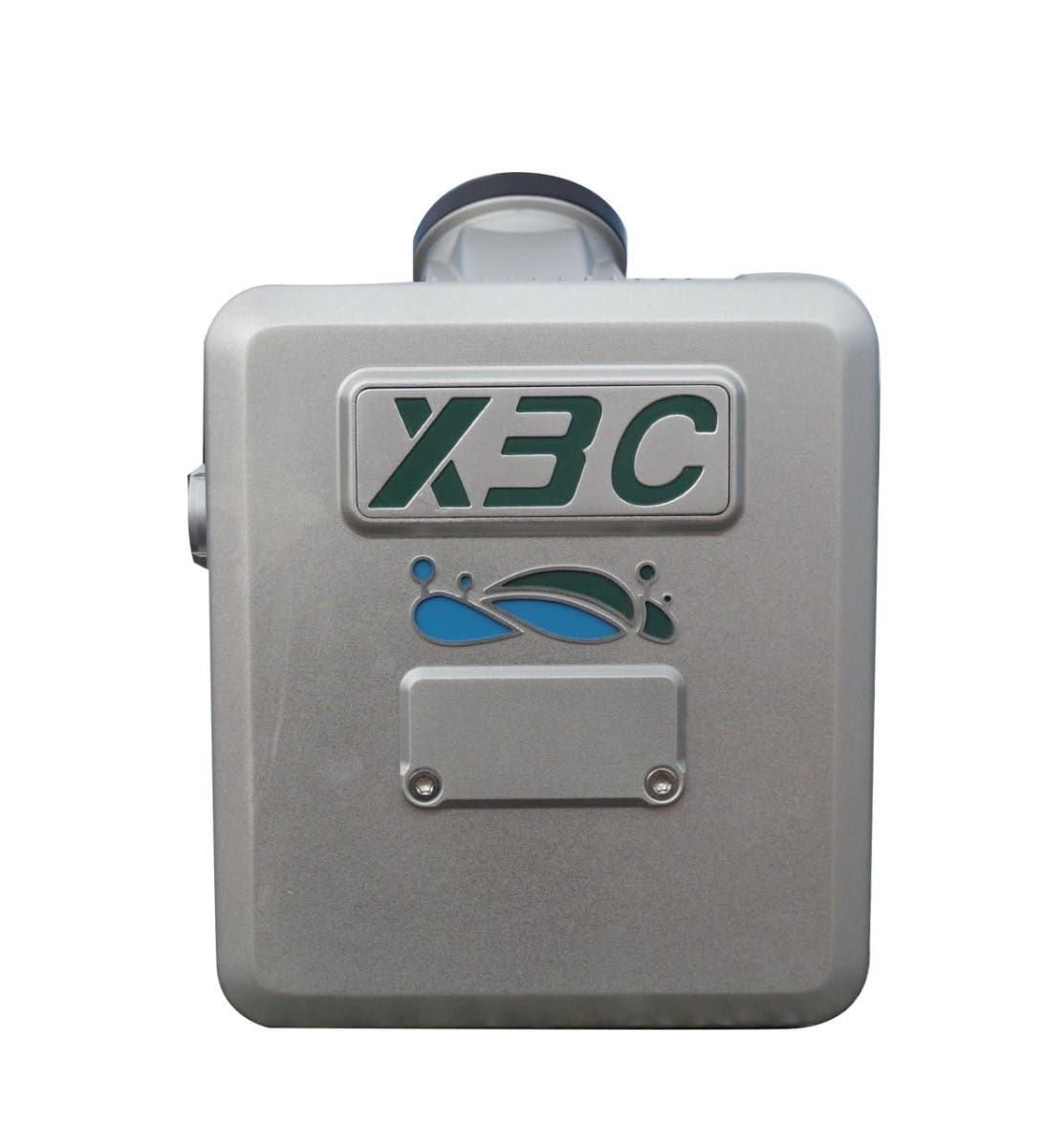
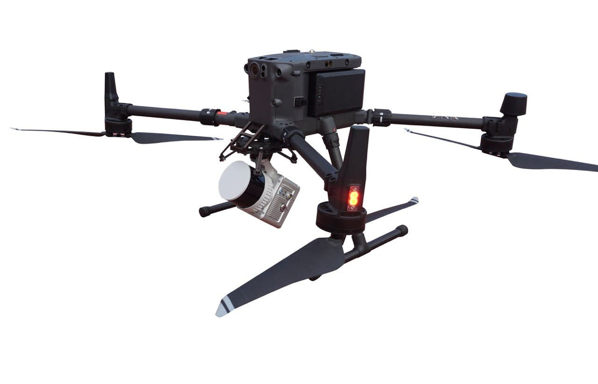
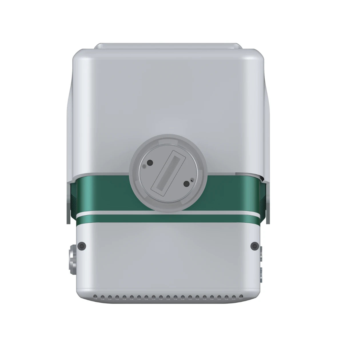
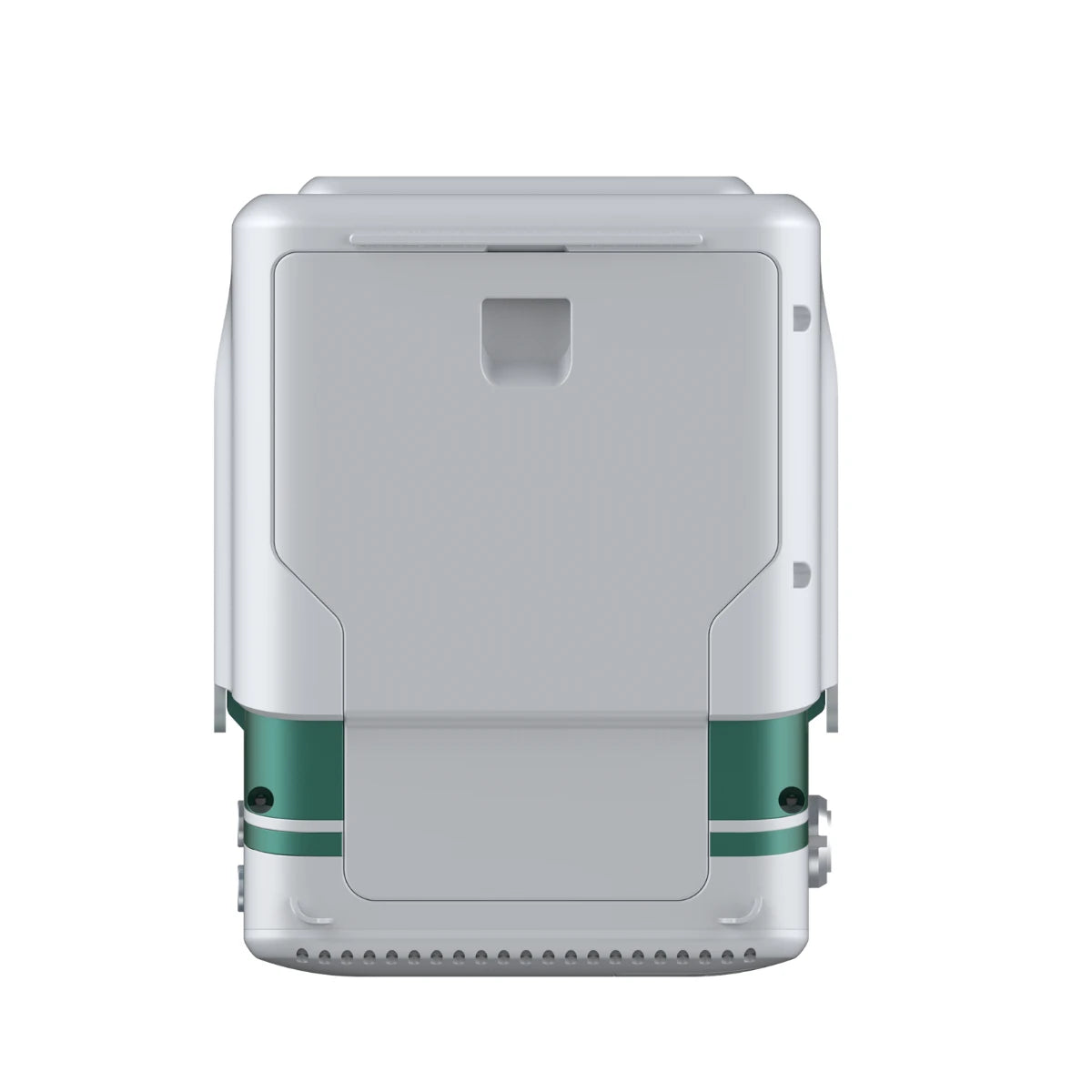
GreenValley LiAir X3C-H is a compact, high-performance UAV LiDAR payload integrating a 32-channel HESAI LiDAR sensor and 26 MP mapping camera in a 1.12 kg system. The 360° horizontal, 40.3° vertical field of view enables point cloud capture in all directions around the aircraft, making it particularly effective for infrastructure inspection where surfaces exist above, below, and to the sides of the flight path. Point rate reaches 1,920,000 points per second in triple-return mode. Detection range is 80 m at 10% reflectivity, 200 m at 54%, and 300 m at 90% reflectivity. A key differentiator from the H800 is the X3C-H's hybrid aerial and handheld SLAM capability: the same sensor can be removed from the UAV and operated as a handheld scanner using SLAM positioning, maintaining coordinate accuracy in complex or GNSS-denied areas without a separate handheld unit. Compatible with DJI Matrice 300, M350, and other platforms supporting the appropriate voltage range (12 to 24 V, 24 W). Weight advantage over the H800 preserves more flight endurance on weight-sensitive platforms.
GreenValley LiAir X3-H is the entry-tier airborne LiDAR payload in the GreenValley lineup, weighing 1.25 kg with camera and rated IP64 for weather resistance. The 905 nm LiDAR sensor produces 720,000 points per second in triple-return mode across a 70.4° horizontal by 4.5° vertical field of view. Detection range is 190 m at 10% reflectivity, 450 m at 80%. Range accuracy is ±2 cm at 20 m. Vertical system accuracy is ±5 cm at 70 m typical flight altitude. The integrated 26 MP camera (upgraded from prior 24 MP) produces true-color point clouds and orthophotos. Internal storage is 256 GB TF card; power consumption is 22 W. The X3-H is the correct entry point for programs transitioning from photogrammetry-only workflows to combined LiDAR and imagery collection, where the H800's larger range and point rate are not required by the mission profile.
Handheld SLAM Scanning Systems
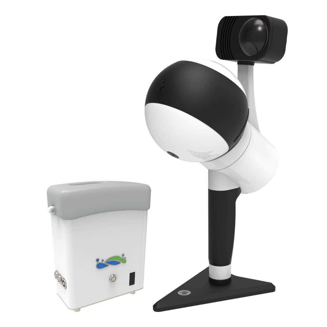
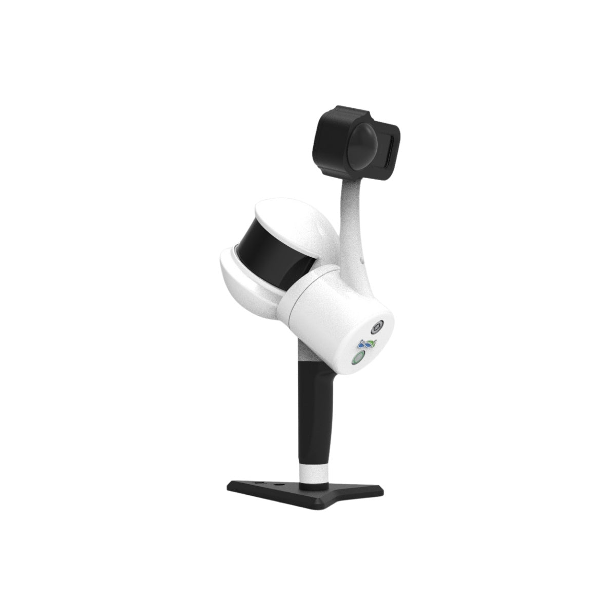
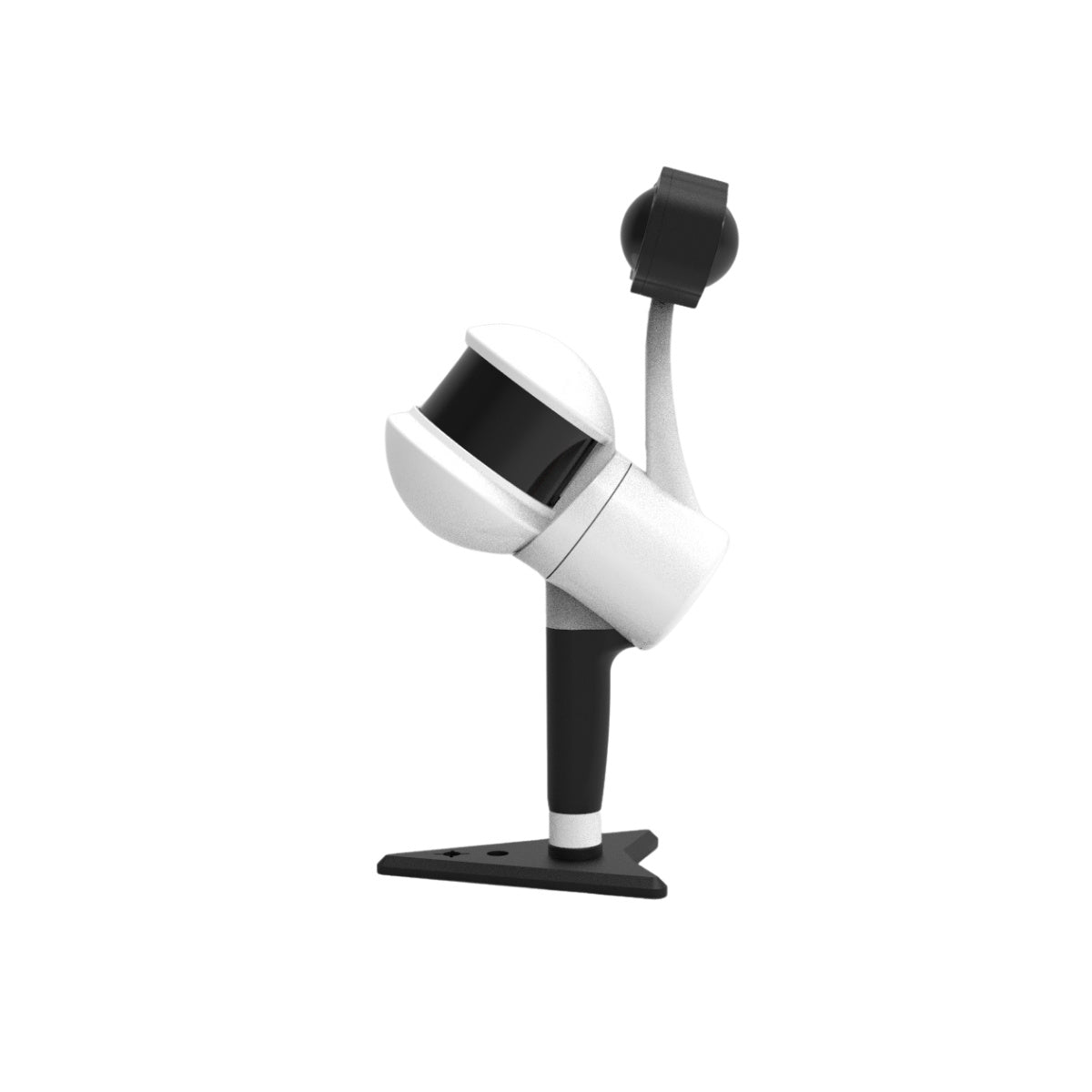
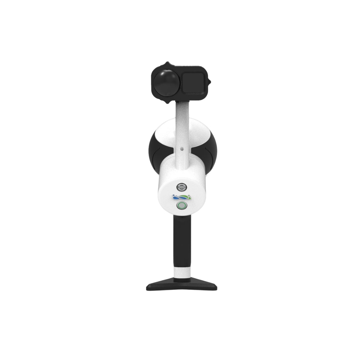
GreenValley LiGrip H300 is a rotating handheld SLAM LiDAR scanner designed for mobile ground-based mapping in complex environments where UAV-mounted LiDAR cannot operate effectively: tunnels, building interiors, dense urban canyons, underground infrastructure, and mixed indoor/outdoor transitions. The rotating sensor design captures a dense point cloud as the operator walks through the environment. The system supports SLAM (structure-from-motion positioning without GNSS), PPK-SLAM (post-processed kinematic with GNSS), and RTK-SLAM (real-time kinematic with GNSS) modes, switching between positioning methods as the operator moves from GNSS-available to GNSS-denied environments. Relative accuracy reaches 1 cm in favorable conditions. Maximum scan range is 300 m. Battery capacity is 5,870 mAh. Weight is 1.5 kg excluding battery. The H300 is typically paired with airborne LiDAR in workflows where the UAV collects exterior and above-canopy data and the LiGrip H300 collects below-canopy, interior, or access-restricted areas in a single coordinate system.
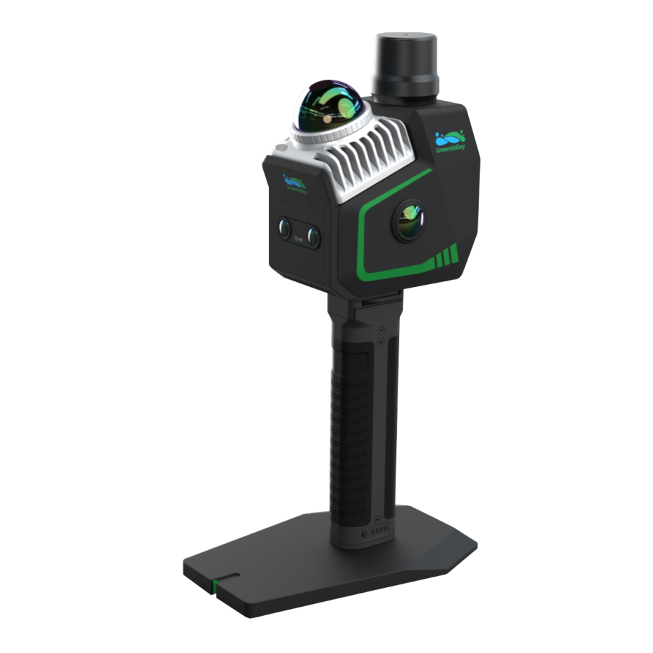
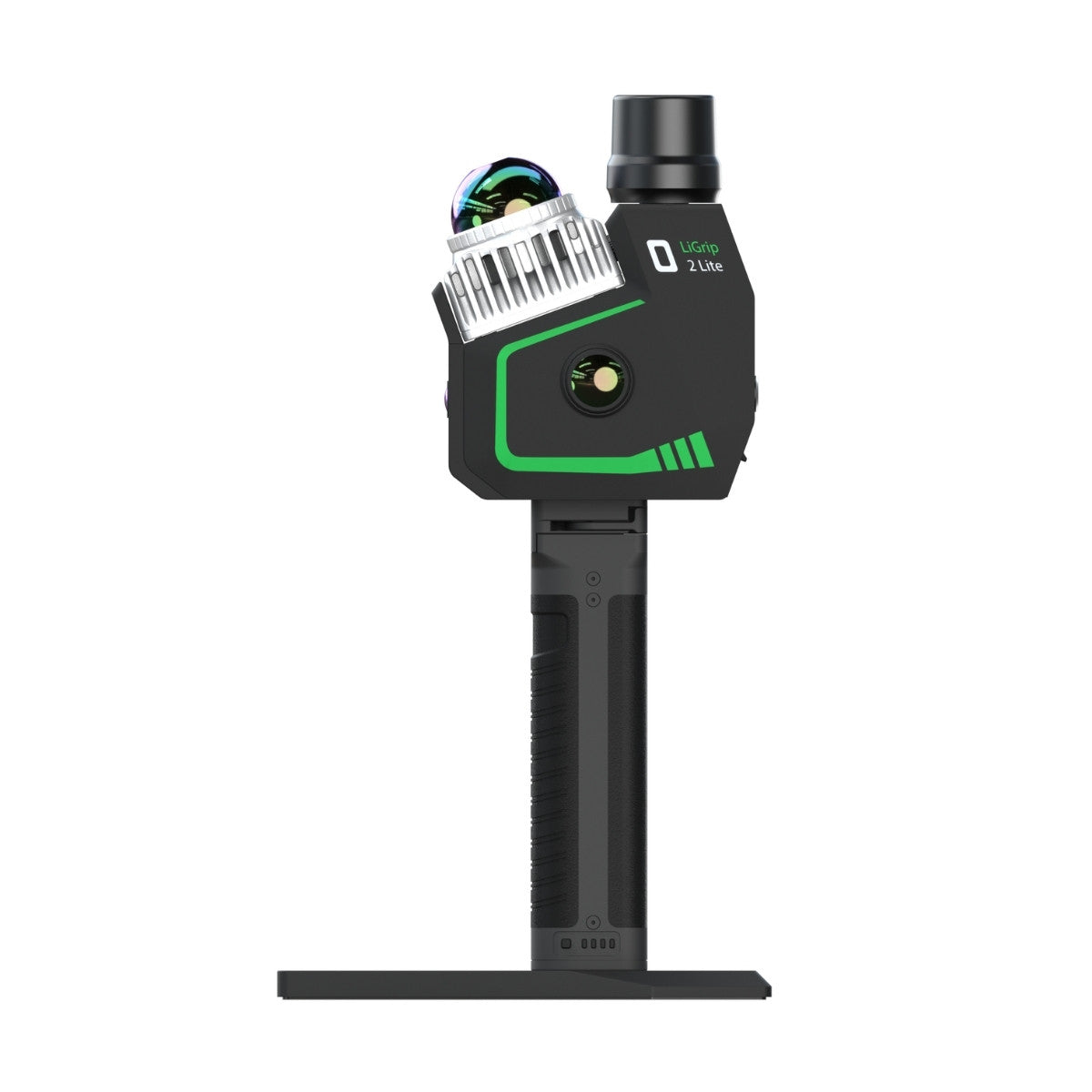
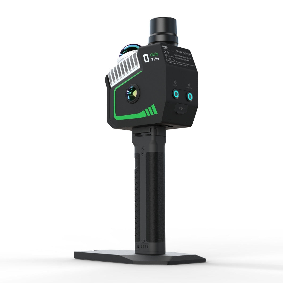
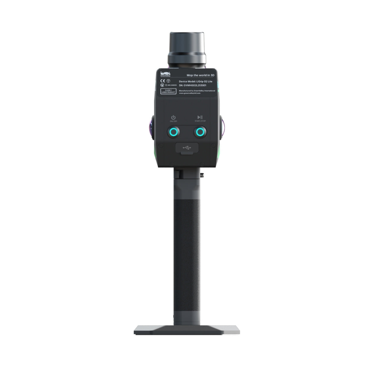
GreenValley LiGrip O2 Lite with GNSS Module and BP Module is a compact handheld SLAM scanner using GreenValley's MLF-SLAM (Multiple Localization Fusion-SLAM) positioning technology, which combines LiDAR-SLAM with visual SLAM and GNSS RTK to maintain accurate trajectory estimation in environments where individual positioning methods fail: open featureless areas like airports, beaches, and highway corridors where SLAM has insufficient features to track; and GNSS-denied environments like tunnels and underground infrastructure. The LiDAR core is a Livox Mid360 sensor producing 200,000 points per second at a 70 m maximum range. Two 12 MP panoramic cameras and two 1.3 MP visual SLAM cameras provide 360° horizontal coverage for point cloud colorization and visual feature tracking. RTK accuracy when GNSS is available is 0.8 cm + 1 ppm horizontal, 1.5 cm + 1 ppm vertical. Absolute system accuracy under optimal conditions is under 3 cm; relative accuracy is under 2 cm. This configuration includes the GNSS module with antenna and a perpetual LiDAR360MLS BP software license, providing a complete field-to-office workflow without additional software procurement.
GreenValley Software: LiDAR360 and LiPowerline
All GreenValley hardware is supported by the LiDAR360 post-processing software suite, available separately in the GreenValley software collection at DSLRPros. LiDAR360 handles point cloud classification, ground filtering, DTM and DSM generation, feature extraction, and volumetric analysis from airborne and terrestrial LiDAR datasets. LiPowerline is a specialized extension for power line corridor analysis, automating conductor extraction, vegetation encroachment flagging, and clearance distance reporting from LiDAR point cloud data. The LiGrip O2 Lite bundle in this collection includes a perpetual LiDAR360MLS BP license at no additional cost.
Which System Fits Your Mission
- Large-area topographic survey, corridor mapping, or long-range powerline inspection from UAV: LiAir H800 provides the longest range, highest point rate, and widest swath width; correct for programs where coverage rate per flight hour is the primary constraint
- Compact UAV LiDAR with multi-platform flexibility and hybrid aerial and handheld SLAM capability: LiAir X3C-H at 1.12 kg fits more platforms and adds the ability to convert to handheld scanning in GNSS-denied areas without a separate unit
- Entry-tier airborne LiDAR for programs transitioning from photogrammetry: LiAir X3-H provides the core aerial LiDAR capability at lower cost and weight than the X3C-H, suited to topographic survey and small-area inspection programs
- Complex indoor, tunnel, or urban canyon mapping where UAV operations are not possible: LiGrip H300 rotating SLAM scanner with SLAM/PPK-SLAM/RTK-SLAM mode switching handles the environments that airborne systems cannot reach
- Open featureless environments or mixed GNSS-available and GNSS-denied surveys in a single session: LiGrip O2 Lite with MLF-SLAM maintains accurate positioning across environment types where pure SLAM or pure GNSS both fail; the included RTK module and LiDAR360MLS BP license provide a complete system from first scan to final deliverable
- Combined aerial and ground mapping in a single coordinate system: pair any LiAir airborne payload with a LiGrip handheld scanner; GreenValley's processing pipeline supports combined point cloud registration in LiDAR360
Frequently Asked Questions
What is the difference between the LiAir H800 and LiAir X3C-H for UAV operations?
The H800 is GreenValley's medium-to-long-range payload, operating at 1,000 kHz with a 1,000 m maximum detection range and 1,000,000 points per second across a 100° horizontal field of view. It is designed for large-area coverage efficiency. The X3C-H uses a 32-channel HESAI sensor with a full 360° horizontal field of view at 1,920,000 points per second in triple-return mode, with a shorter maximum range (300 m at 90% reflectivity) and nearly half the weight at 1.12 kg. The X3C-H's 360° FOV is better suited to infrastructure inspection where surfaces exist on multiple sides of the flight path. Its unique advantage is the ability to be removed from the UAV and used as a handheld SLAM scanner, extending its usefulness to ground-based surveys in the same project without a second system.
Can these systems produce color point clouds?
Yes. All three airborne LiDAR systems (LiAir H800, X3C-H, and X3-H) include an integrated 26 MP mapping camera that captures imagery synchronized with the LiDAR scan. GreenValley's LiGeoreference post-processing software assigns RGB color values from the camera imagery to each LiDAR point, producing a true-color point cloud. The resulting dataset simultaneously contains the precise geometric information of the LiDAR scan and the visual detail of the photography. The LiGrip H300 and LiGrip O2 Lite also include integrated cameras for point cloud colorization in handheld workflows.
Do these systems require a separate RTK base station for accurate georeferencing?
It depends on the system and workflow. The airborne LiDAR systems rely on GNSS for absolute positioning during flight. For survey-grade accuracy, they support network RTK (NTRIP connection to a correction service) and can be used with a base station in PPK (post-processed kinematic) mode when real-time correction is not available. The LiGrip H300 supports PPK-SLAM and RTK-SLAM modes with optional RTK module purchase. The LiGrip O2 Lite configuration in this collection includes a GNSS module and antenna, supporting RTK-SLAM with 0.8 cm + 1 ppm horizontal accuracy when GNSS is available, and SLAM-based positioning in GNSS-denied environments.
What post-processing software do I need for GreenValley LiDAR data?
GreenValley LiDAR data is processed in LiDAR360 for airborne and terrestrial datasets, LiDAR360MLS for mobile and handheld datasets, and LiPowerline for power line corridor-specific analysis. LiGeoreference handles the initial co-registration of LiDAR point cloud data with camera imagery and GNSS/IMU trajectory data before import into LiDAR360. The LiGrip O2 Lite bundle in this collection includes a perpetual LiDAR360MLS BP license. LiDAR360 and LiPowerline are available separately in the GreenValley software collection at DSLRPros.
Which GreenValley airborne system is compatible with the DJI Matrice 400?
The LiAir H800 is confirmed compatible with the DJI Matrice 300 RTK, Matrice 350 RTK, and Matrice 400 via OSDK interface. The LiAir X3C-H is listed as compatible with DJI and Freefly platforms in the appropriate voltage range (12 to 24 V). The LiAir X3-H is compatible with DJI platforms at 12 to 24 V. For the Matrice 400 specifically, confirm compatibility and mounting hardware requirements with DSLRPros before purchase, as the M400's E-Port V2 interface may require a different integration approach than the Skyport V2 used on the M300 and M350 RTK.
DSLRPros is an authorized GreenValley International dealer carrying the full airborne and handheld LiDAR payload lineup alongside GreenValley processing software. Our team provides pre-sale system configuration guidance, platform compatibility confirmation, and technical support for every GreenValley order. Contact us to discuss your survey requirements, confirm aircraft compatibility, or request a quote on a complete LiDAR system with software.