


GNSS systems for drones and UAVs
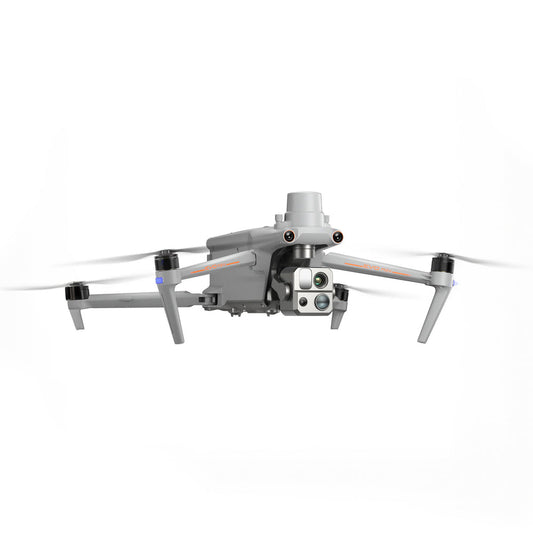
GNSS systems provide the positional foundation for professional drone missions. Unlike consumer GPS, drone GNSS solutions integrate RTK and PPK correction technologies to deliver survey-grade accuracy.
These systems are essential for enterprise, industrial, and government UAV workflows.
Why GNSS accuracy matters in drone data collection
Accurate positioning ensures that images, point clouds, and sensor data align correctly with real-world coordinates. Without correction data, small positioning errors can result in costly rework.
GNSS systems help drones fly accurately, capture consistent data, and meet project specifications.
Core advantages of drone GNSS systems
- Survey-grade positioning accuracy
- Consistent results across repeat missions
- Reduced dependency on GCPs
- Improved automation and waypoint precision
- Higher data integrity for analysis and reporting
Classification of GNSS systems for drones
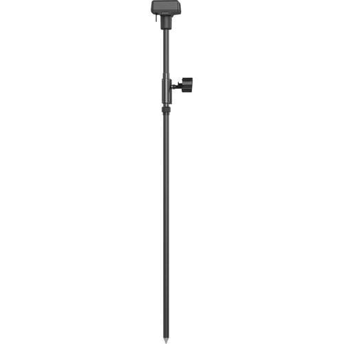
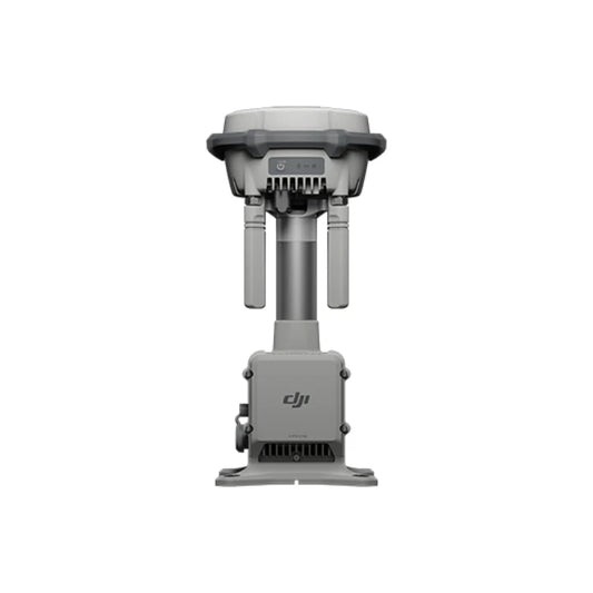
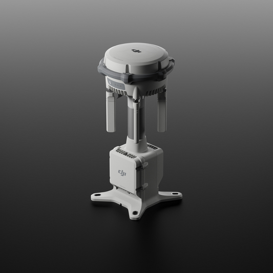
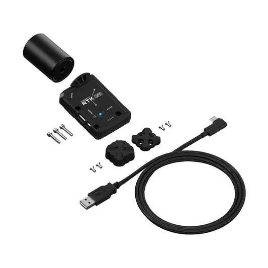
- RTK GNSS modules: Real-time corrections via base station or network
- PPK GNSS systems: Post-flight correction for maximum reliability
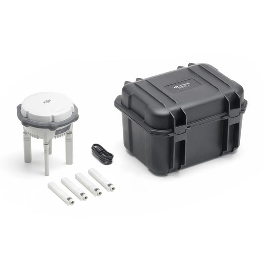
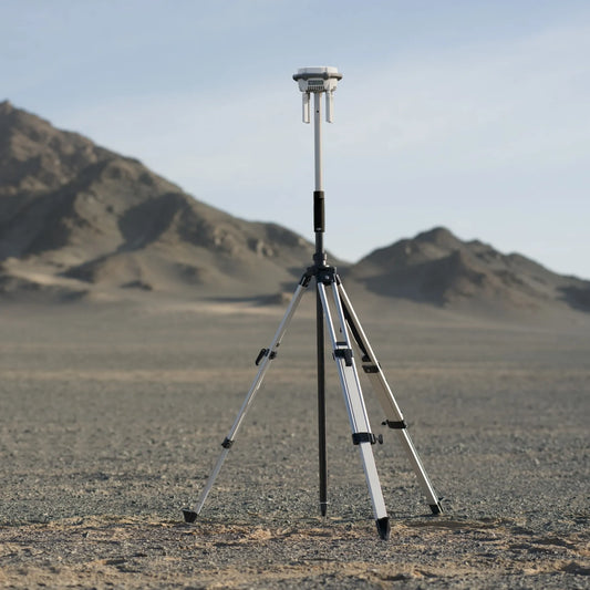
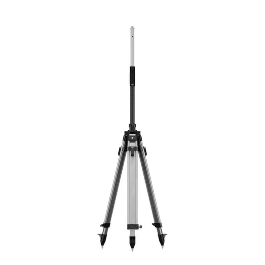
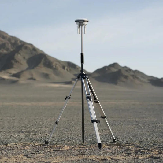
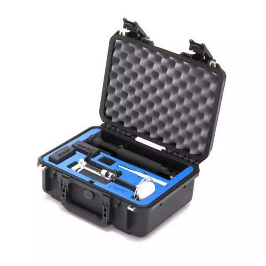
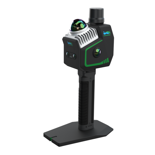
- GNSS mobile base stations: Portable correction sources for field use
- Permanent GNSS stations: Continuous correction for recurring operations
- Multi-frequency GNSS receivers: Better accuracy in challenging environments
- Multi-constellation GNSS support: Improved satellite coverage and redundancy
RTK and PPK in real-world drone workflows
RTK is preferred when immediate positional accuracy is required during flight. PPK allows correction even when live connections are lost, making it ideal for remote or complex missions.
Many professional drone operators combine both for maximum flexibility.
Industries and applications
- Land surveying and cadastral mapping
- Construction progress tracking
- Mining, quarrying, and volume measurements
- Utilities and infrastructure inspection
- Agriculture and environmental monitoring
- Public safety, defense, and emergency response
Choosing the right GNSS solution
Selecting a GNSS system depends on mission type, drone platform, and workflow requirements. Understanding accuracy needs, correction methods, and compatibility helps ensure long-term value.
GNSS systems transform drones into precision measurement tools. With RTK and PPK technologies, drones can deliver consistent, high-accuracy results across a wide range of professional applications.
Investing in the right GNSS solution ensures reliable data, efficient workflows, and mission success.
