


Speak With A Powerline Inspection Drone Expert
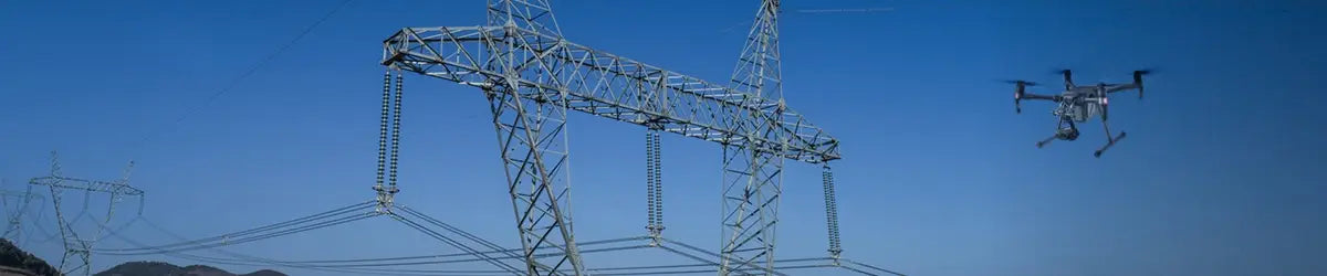
Best Powerline Inspection Drones and Bundles
-
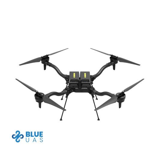
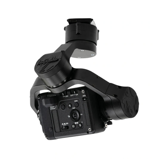
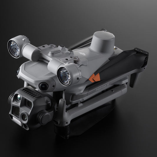
ACSL SOTEN Inspection Package
Regular price $16,940.00Regular priceUnit price per


Best Payloads for Powerline Inspection Drones
-
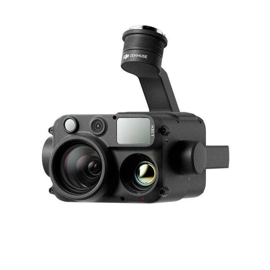
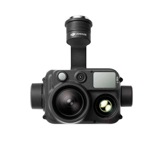
DJI Zenmuse H30T
Regular price $11,610.00Regular priceUnit price per -
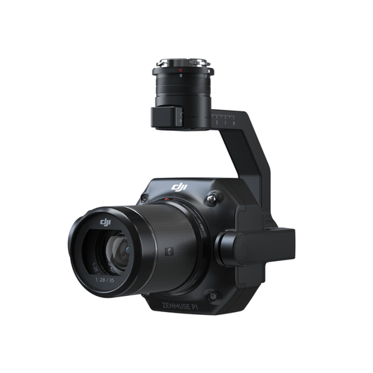
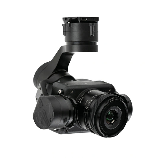
DJI Zenmuse P1
Regular price $7,499.00Regular priceUnit price per -
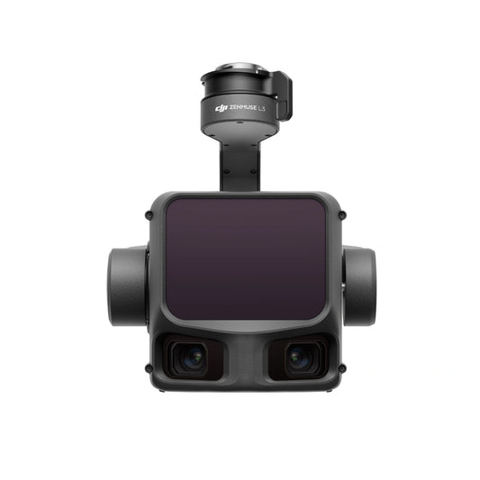
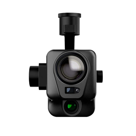
DJI Zenmuse L3 LiDAR Camera
Regular price $17,400.00Regular priceUnit price per -
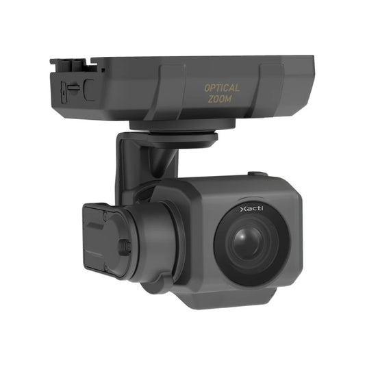
ACSL SOTEN Optical Zoom Camera
Regular price $1,725.00Regular priceUnit price per -
 Sold out
ACSL SOTEN Standard Camera
Regular price $1,000.00Regular priceUnit price per -
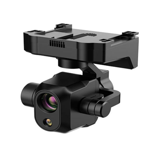
ACSL SOTEN High Resolution Thermal Camera
Regular price $7,900.00Regular priceUnit price per -
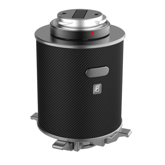
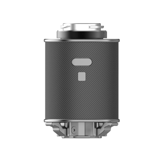
Deepthink S3 Tri-Sensor Night Vision Thermal Imaging Camera for Matrice 350 / Matrice 400
Regular price $6,599.00Regular priceUnit price per$6,999.00Sale price $6,599.00Sale -
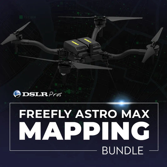
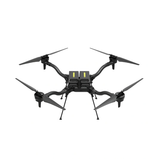
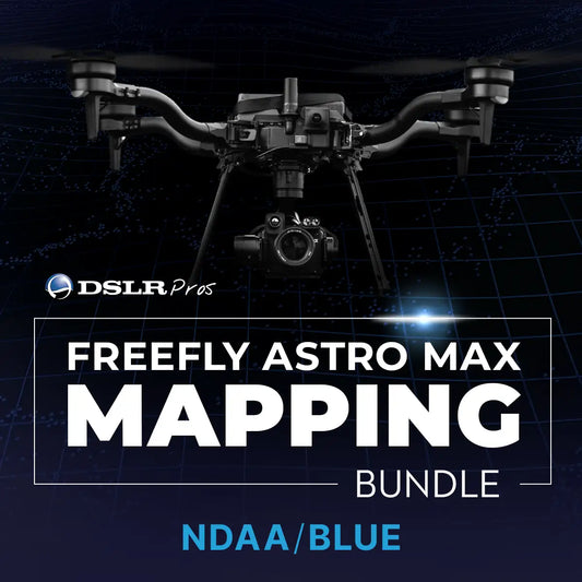
Sony ILX-LR1 61 MP Camera with Sigma 24 mm f/3.5 Mapping Lens for Astro Max
Regular price $8,699.00Regular priceUnit price per -
GDU S200 Spotlight
Regular price $1,125.00Regular priceUnit price per -
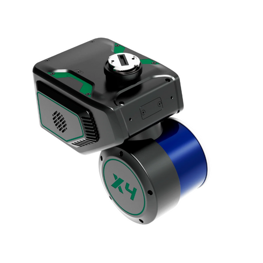
GreenValley LiAir X4 Autonomous UAV LiDAR Data Acquisition System
Regular price $35,300.00Regular priceUnit price per -
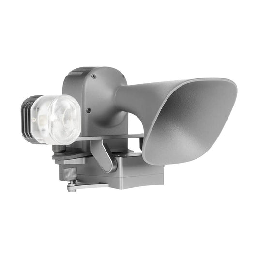
CZI GL10 V2 Gimbal Searchlight for DJI Mavic 3 Enterprise Series
Regular price $895.00Regular priceUnit price per$999.00Sale price $895.00Sale -
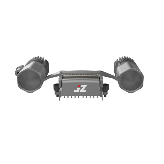
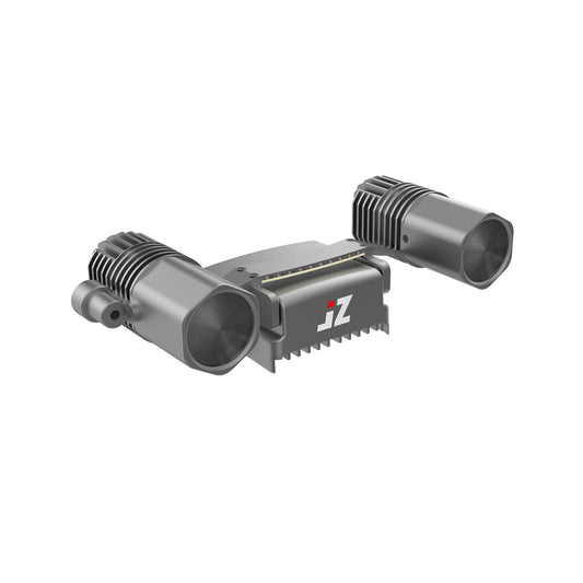
JZ Drones T30 V2 Matrix Lamp for DJI Matrice 4T/4E
Regular price $899.00Regular priceUnit price per -
DSLRPros Air Drop System for DJI Matrice 4T / Matrice 4E
Regular price $599.00Regular priceUnit price per -
Autel Alpha DT60S+DH1E Loudspeaker & Spotlight
Regular price $1,399.00Regular priceUnit price per -
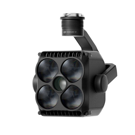
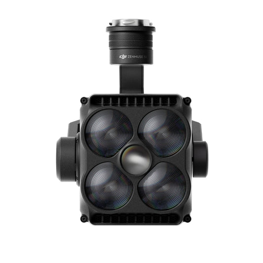
DJI Zenmuse S1 Spotlight
Regular price $1,719.00Regular priceUnit price per -
JZ Drones PTS4 Visual Drop Kit for M300/M350/M400
Regular price $1,199.00Regular priceUnit price per -
DJI AL1 Spotlight for Matrice 4 Series
Regular price $449.00Regular priceUnit price per -
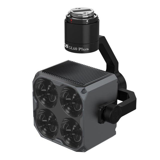
CZI GL60 Plus SDK Gimbal Spotlight for DJI M300/M350/M400 RTK
Regular price $2,399.00Regular priceUnit price per -
GreenValley LiGrip H300 Handheld Laser Scanning System
Regular price $29,600.00Regular priceUnit price per -
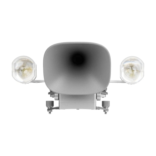
CZI LP12 Spotlight & Loudspeaker 2-in-1 Payload for DJI Matrice 30 Drone
Regular price $2,599.00Regular priceUnit price per -
CZI TH4 V2 Drop System for M300/M350/M400
Regular price $1,150.00Regular priceUnit price per -
Autel EVO Max Speaker and Spotlight
Regular price $979.00Regular priceUnit price per -
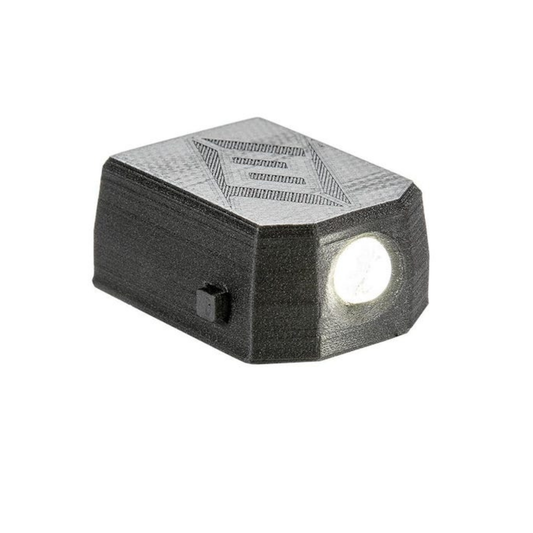
FoxFury D10 Drone Light
Regular price $24.99Regular priceUnit price per -
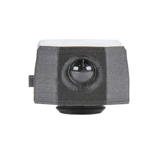
FoxFury D10-IR Drone Light
Regular price $35.99Regular priceUnit price per$67.00Sale price $35.99Sale -
GreenValley LiAir X3-H Airborne Laser Scanning Unit
Regular price $11,290.00Regular priceUnit price per


Understanding the Technology Behind Powerline Inspection Drones
The DSLRPros Advantage
-

UAV THERMAL EXPERTS
We are industry leaders in thermal imaging drones. As one of the pioneers in thermal drone technology, our team of experts will help you build a custom solution that meets both your budget and needs.
-

MISSION SPECIFIC SOLUTIONS
We specialize in the development and delivery of cost-effective mission-specific enterprise solutions. All our kits are specially designed, assembled, and individually tested for quality assurance in the United States.
-

AFTER PURCHASE SUPPORT
Our customer service doesn't just end with your purchase; we go the extra mile to make sure our customers have the guidance they need. As our customer, you will know us by name and can count on us for support whenever you need it.


