


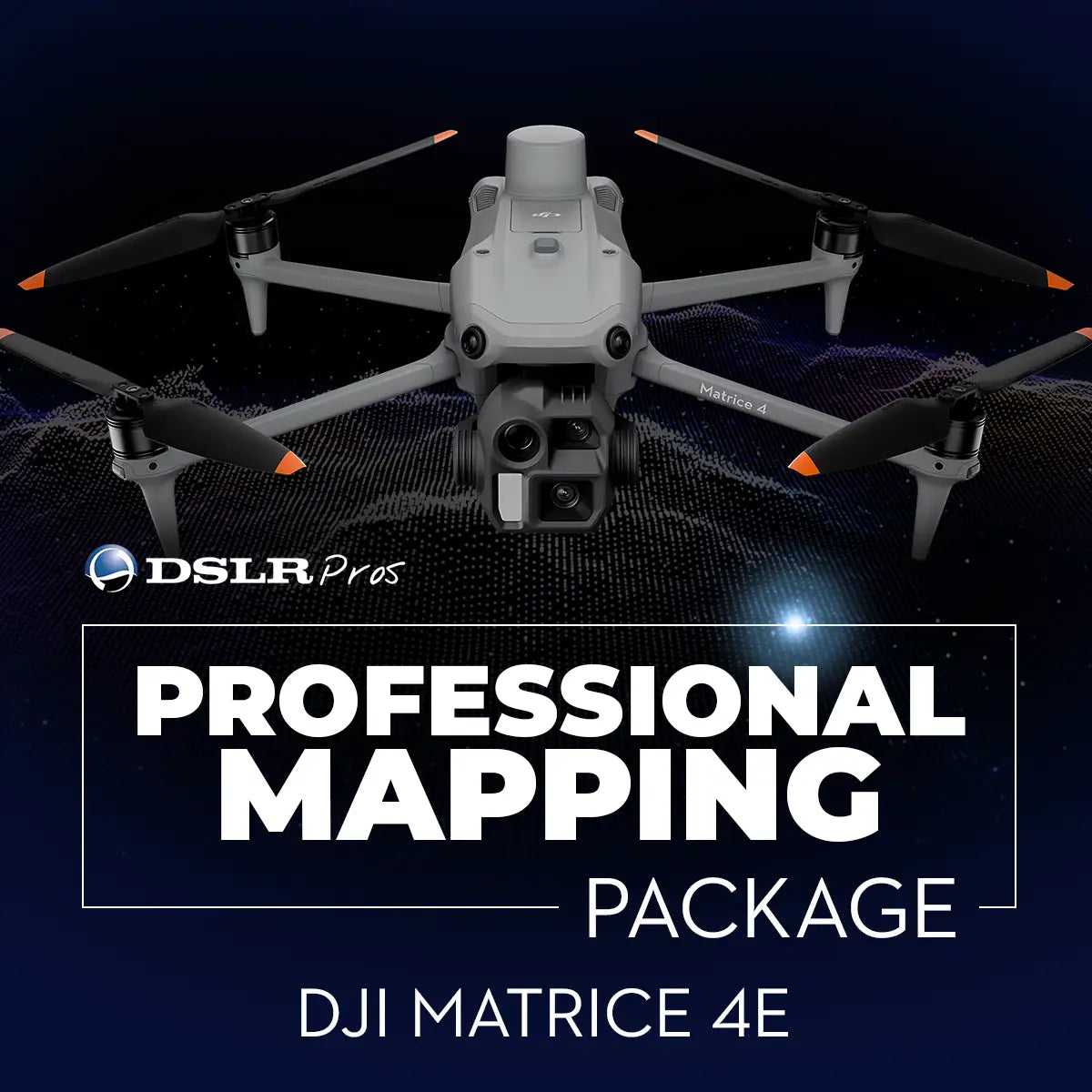
DSLRPros Matrice 4E Professional Mapping Package
DSLRPros Matrice 4E Professional Mapping Package
SKU:B-NB-M4E-PMP

- Description
- Specifications
- In the Box
- FAQ
DSLRPros Matrice 4E Precision Mapping Package: high-accuracy aerial surveying for professional geospatial workflows
The DSLRPros Matrice 4E Precision Mapping Package provides surveyors, engineers, and geospatial teams with a reliable, high-accuracy aerial mapping platform optimized for fast deployment and consistent data quality. Built around the DJI Matrice 4E Universal Edition, this package delivers detailed imaging, centimeter-level RTK positioning, and efficient on-site workflow integration.
The D-RTK 3 Multifunctional Station ensures stable correction signals for precision mapping, while the Survey Pole and Tripod Kit supports both base-station and rover configurations. Combined with the WB37 controller battery and a durable landing pad, teams gain a complete field-ready system for precise measurement and high-quality data capture.
Core features and mapping-focused advantages
- 4/3-inch CMOS at 20 MP captures detailed mapping imagery.
- Telephoto camera enhances midrange visibility for inspection or supplemental detail capture.
- Laser rangefinder provides accurate distance readings up to 1800 meters.
- RTK-enabled flight improves positional accuracy for survey-grade deliverables.
- Smart Oblique Capture automates angled imaging for 3D modeling workflows.
- Terrain Follow maintains consistent altitude over uneven landscapes.
- AI Spot-Check supports repeatable data collection on recurring mapping sites.
- IP55 rating enables reliable operation in dust, rain, and demanding conditions.
- Up to 48 minutes of flight time improves area coverage and operational efficiency.
- O4 Enterprise transmission provides stable long-range connectivity during missions.
Imaging clarity, RTK precision, and workflow efficiency
The Matrice 4E features a 1/1.3-inch CMOS 48 MP wide camera paired with a 48 MP telephoto camera to support consistent, high-resolution imaging across mapping missions. With accurate laser ranging up to 1800 m and RTK-supported navigation, operators achieve strong positional reliability in varied terrain.
Smart Oblique Capture, Terrain Follow, and AI Spot-Check enhance automation and consistency across repeated flights. Paired with the D-RTK 3 Multifunctional Station, the system delivers centimeter-level location data essential for survey-grade deliverables, engineering measurements, and construction documentation.
Extended performance and field-ready deployment
With up to 48 minutes of flight time under test conditions, the Matrice 4E supports efficient area coverage and reduced flight intervals during mapping operations. Its IP55-rated durability and wide operating temperature range allow deployment in challenging field conditions.
The D-RTK 3 Survey Pole and Tripod Kit offers fast leveling and stable placement for correction signal broadcasting or GCP collection, while the WB37 battery maintains controller uptime during long workdays. Together, these components streamline field operations and provide the reliability required for high-value data acquisition.
Why this package is ideal for surveying and precision mapping operations
This package enables survey-grade accuracy by combining high-resolution imaging, laser ranging, and RTK correction through the D-RTK 3 base station. The Matrice 4E’s wide-angle 48 MP camera and telephoto imaging ensure detailed coverage suitable for photogrammetry, topographic modeling, and inspection-grade measurement.
Precision support tools such as Terrain Follow, Smart Oblique Capture, and PinPoint 2.0 enable consistent mapping results across varied environments. With stable base-station deployment and rover-mode capability, crews can collect both aerial and ground control points using a single integrated system.
System alignment and workflow compatibility
- Integrates with DJI D-RTK 3 Multifunctional Station for correction signal broadcasting.
- Fully compatible with D-RTK 3 Survey Pole and Tripod for stable field deployment.
- Supports RTK workflows for centimeter-level accuracy in aerial surveys.
- Works with DJI Pilot 2 for unified sensor and mission planning control.
- Supports Smart Oblique, Terrain Follow, and automated flight templates.
- GNSS constellation support enhances positioning reliability in complex terrain.
- WB37 battery ensures long-duration controller operation during extended mapping shifts.
- Landing pad improves takeoff and landing consistency on uneven or soft terrain.
Mapping applications and geospatial use cases
- Topographic mapping: captures elevation data for terrain modeling and grading design.
- Construction surveying: documents site progression and supports volume measurements.
- Infrastructure assessment: inspects roads, bridges, and utilities from precise vantage points.
- Land development surveying: maps parcels and boundaries for planning or permitting.
- Environmental monitoring: records vegetation, erosion, and surface changes over time.
- Corridor mapping: surveys utility lines, pipelines, and transportation routes efficiently.
- Mining and aggregates: measures stockpile volumes and monitors extraction activity.
- Agricultural planning: maps fields and supports irrigation and soil consistency analysis.
- Disaster response mapping: documents impacted terrain to support recovery operations.
- Industrial site measurement: captures detailed imagery for asset documentation and audits.
Built for enterprise-level geospatial operations
This package is structured for organizations requiring repeatable, survey-grade data in high-demand environments. The Matrice 4E’s multi-sensor system and RTK functionality ensure accurate data alignment, while the D-RTK 3 base station improves positional fidelity in both airborne and ground workflows.
Rugged construction and long flight times support extensive field operations, and the Survey Pole and Tripod Kit simplifies setup in challenging terrain. Together, these components create a dependable, field-proven platform for precise geospatial measurement across industries.
This DSLRPros Matrice 4E Precision Mapping Package delivers an end-to-end solution capable of producing accurate, reliable mapping data for land surveyors, engineers, construction managers, and GIS professionals. It supports consistent mission results, clear data traceability, and dependable field performance across a wide range of applications.
DSLRPros offers expert consultation, fleet integration support, and long-term maintenance resources to ensure successful adoption of survey-grade unmanned workflows. Available now from DSLRPros. Purchase today to equip your team with proven geospatial mapping capability.
