• Authorized GreenValley Dealer

  • U.S. Warranty & Service

  • Enterprise Training & Support

GreenValley delivers precision you can trust.

From UAV-ready LiDAR payloads to advanced geolocation and flight control software, these tools are built for mapping, environmental monitoring, and large-scale surveys. Get accurate, reliable data in any terrain—right the first time.

Shop GreenValley Enterprise Solutions

  • GreenValley LiAir X3C-H Compact UAV LiDAR System

    • Lightweight, high-precision mapping
    • Ultra-compact design for easy UAV integration
    • High-accuracy 3D point cloud capture for mapping and surveying
    • Real-time data preview with LiAcquire software
    • Multi-return capability for complex terrain mapping
    • Ideal for forestry, powerline inspection, and infrastructure monitoring

    Request a Quote 
  • GreenValley LiGrip O2 Lite (with GNSS Module & Antenna) + BP Module

    • Portable LiDAR scanning on the go
    • Lightweight, handheld/mobile LiDAR system for versatile use
    • Integrated GNSS module for precise georeferencing
    • BP module extends scanning sessions with long battery life
    • Captures detailed 3D data indoors or outdoors
    • Perfect for rapid site documentation and construction monitoring

    Request a Quote 
  • GreenValley LiAir X4 Airborne Laser Scanning Unit

    • High-density aerial LiDAR for professional mapping
    • Delivers up to 750,000 points per second for dense point clouds
    • Long-range scanning—ideal for large-area mapping
    • Multi-return capability improves canopy and vegetation penetration
    • Works with various UAV platforms for flexible deployment
    • Suitable for mining, agriculture, and infrastructure projects

    Request a Quote 
  • GreenValley LiDAR360

    • Advanced LiDAR data processing software
    • Full suite for point cloud visualization, classification, and analysis
    • Supports UAV, mobile, and terrestrial LiDAR datasets
    • Powerful forestry analysis, terrain modeling, and powerline mapping tools
    • Streamlined workflow for rapid data-to-deliverable turnaround
    • Ideal for environmental studies, surveying, and utilities

    Request a Quote 
  • GreenValley LiAir H600 UAV LiDAR System

    • Long-range, high-accuracy aerial mapping
    • Captures up to 1.5 million points per second
    • Extended range for large-area surveys and corridor mapping
    • Multi-return technology for detailed vegetation and terrain data
    • Integrates easily with multiple UAV platforms
    • Perfect for infrastructure inspection, forestry, and topographic mapping

    Request a Quote 
  • GreenValley LiPowerline

    • Specialized powerline inspection solution
    • AI-powered point cloud classification for utility assets
    • Detects vegetation encroachment and structural anomalies
    • High-precision modeling for maintenance planning
    • Integrates with LiDAR360 for advanced analytics
    • Enhances safety and efficiency in powerline inspections

    Request a Quote 
1 of 6

Still unsure which tool fits your project best?

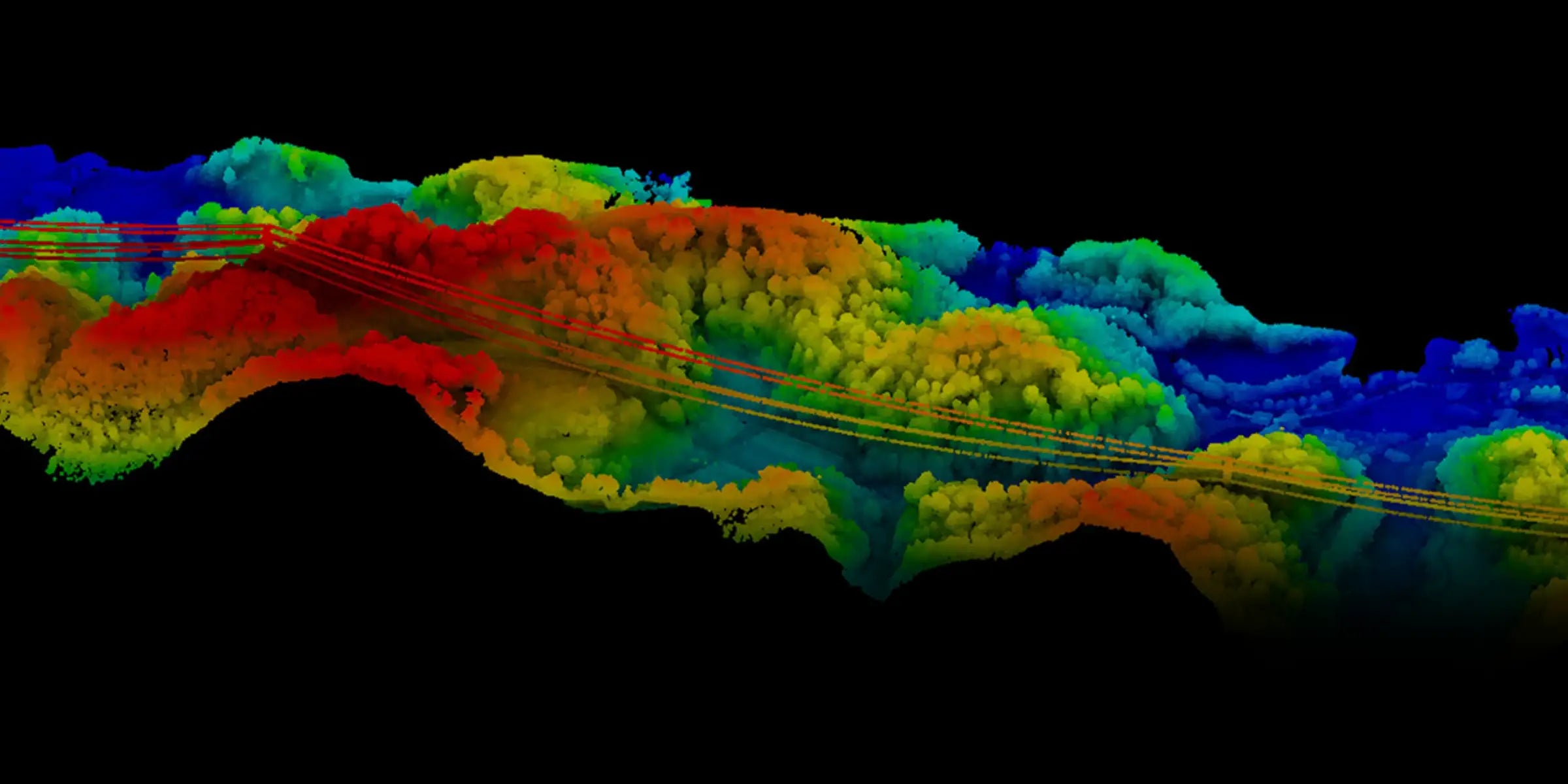
End-to-End LiDAR Mapping Tools, Ready for the Field

GreenValley combines high-performance sensors with intelligent software workflows. Built for professionals who need accurate, reliable spatial data at scale.

  • Turnkey UAV Payloads

    The LiAir series pairs laser scanners, RGB cameras, and GNSS/INS units for seamless field collection.

  • Real-Time Flight Assistance

    LiPlan delivers smart path planning, obstacle avoidance, and efficient route execution.

  • Accurate Geolocation Tools

    LiGeoreference aligns trajectory data with your ground truth for survey-grade accuracy.

  • Cross-Compatible Software

    All tools are designed to work with major GIS platforms and export-ready formats.

Key Benefits

  • Turnkey LiDAR Mapping Platforms

  • Industry-Proven Sensor Fusion

  • GNSS/IMU Georeferencing Accuracy

  • Compatible with UAV, vehicle, or backpack systems

GreenValley in Action: Industrial Applications that Demand Accuracy

Frequently Asked Questions

What is the LiAir LiDAR platform used for?

LiAir is GreenValley’s UAV-mounted LiDAR system for high-accuracy 3D point cloud data capture. It’s used for topographic mapping, vegetation analysis, and infrastructure modeling.

Does LiPlan support real-time flight control?

Yes. LiPlan offers real-time flight planning, obstacle awareness, and path optimization tools for field teams.

What accuracy can I expect from LiGeoreference?

With quality GNSS/IMU inputs, LiGeoreference delivers centimeter-level accuracy suitable for survey and engineering-grade outputs.

Is GreenValley software compatible with other drone platforms?

Yes. LiPlan and LiGeoreference are platform-agnostic and work with most UAV systems carrying compatible sensors.

Do you offer training for GreenValley systems?

Yes. DSLRPros provides onboarding and training services tailored to your industry needs.