Construction Surveying Drones
Complete Construction Survey Drone Solutions for Your Organization
Speak With A Construction Surveying Drone Expert
Construction drones are specialized unmanned aerial vehicles designed to streamline the way professionals survey, inspect, and manage job sites. Equipped with advanced sensors like LiDAR, RTK modules, and high-resolution cameras, these drones provide accurate, real-time data that replaces time-consuming manual tasks. Whether it’s mapping terrain before breaking ground, measuring stockpiles, or monitoring progress across large-scale builds, drones offer unmatched visibility and efficiency. Why use drones for construction? Because they help teams make faster, more informed decisions. From reducing labor hours and improving worker safety to cutting rework costs and producing highly detailed 3D maps, drone technology is reshaping the way construction is done. DSLRPros offers a full lineup of ready-to-fly solutions tailored for the job. Choose from powerful options like the DSLRPros Matrice 350 RTK LiDAR Ultimate Package for pinpoint mapping, the DSLRPros DJI Mavic 3 Enterprise Professional Mapping Package for agile surveys, the DSLRPros Inspired Flight IF800 Sentera 65R Mapping Combo for long-range flexibility, or the DSLRPros Teledyne FLIR SIRAS Ultimate Mapping Package for thermal-integrated site intelligence. Explore our catalog of construction drone solutions and discover how this technology can make your site more productive, precise, and future-ready. Request a Quote or call us at +1 (877) 299-1075 to speak with an experienced drone expert today.
Construction Survey Drones and Bundles
When it comes to construction surveying, precision, reliability, and speed matter most—and drone technology delivers all three. The best drones for construction offer advanced imaging, LiDAR, and RTK positioning to streamline everything from pre-construction site planning to progress tracking and volume measurements. Whether you're managing a small commercial build or a large-scale infrastructure project, the right drone system can significantly reduce time in the field and improve the accuracy of your data.
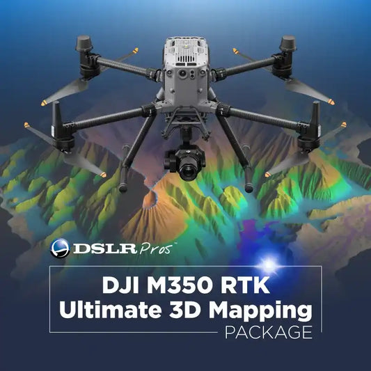
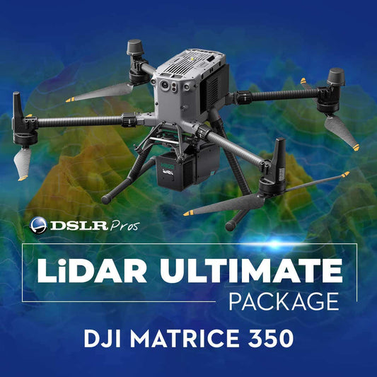
At DSLRPros, we’ve curated a lineup of construction drone bundles built to meet the challenges of modern surveying. For full-scale 3D mapping, the DSLRPros DJI M350 RTK Ultimate 3D Mapping Package and DSLRPros Matrice 350 RTK LiDAR Ultimate Package offer industry-grade performance with powerful sensors. Need thermal imaging integration? The DSLRPros Teledyne FLIR SIRAS Ultimate Mapping Package has you covered.
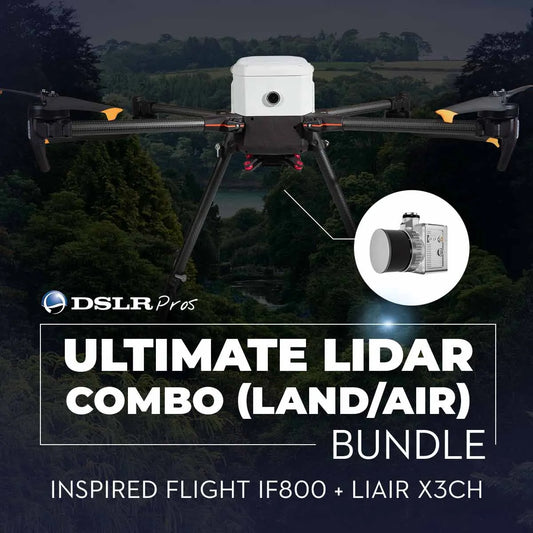
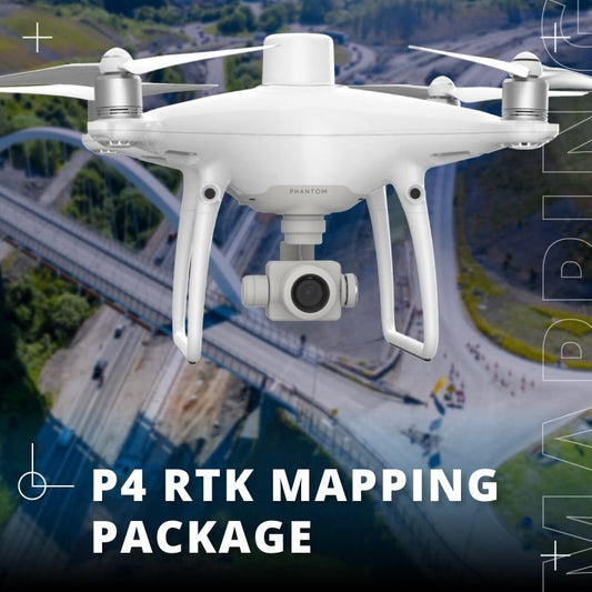
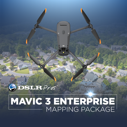
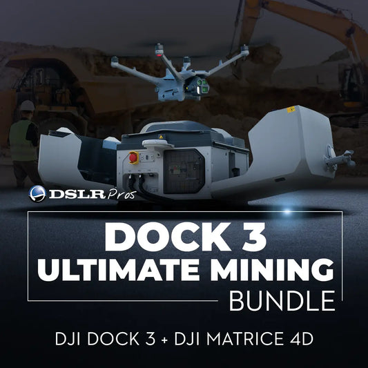
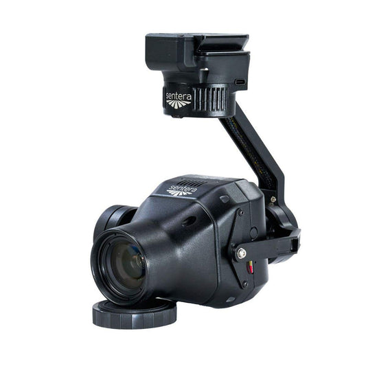
Other standout options include the DSLRPros Inspired Flight IF800 Package with Sentera 65R for flexible air/land mapping, the DSLRPros DJI Mavic 3 Enterprise Professional Mapping Package for nimble, budget-friendly deployment, and the DSLRPros Dock 3 Ultimate Mining Bundle for hands-free, automated site coverage. You’ll also find specialty solutions like the Autel EVO II 640T Roof Inspection Package and P4 RTK Mapping Package for task-specific needs.
Whatever your jobsite demands, these bundles are designed to boost your survey accuracy, reduce overhead, and give you fast access to critical site data—right from the sky.
-
DSLRPros DJI Phantom 4 RTK Professional Mapping Package
Regular price $7,807.98Regular priceUnit price / per -
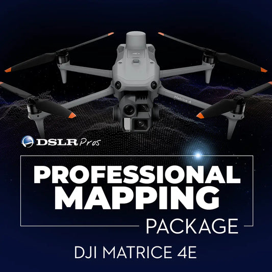
DSLRPros Matrice 4E Professional Mapping Package
Regular price $8,352.00Regular priceUnit price / per
Payloads for Construction Survey Drones
When it comes to construction surveying, the right payload is what turns your drone into a powerful data collection tool. Whether you're mapping terrain, inspecting jobsite progress, or generating high-precision 3D models, these sensors and cameras help capture every crucial detail from above.
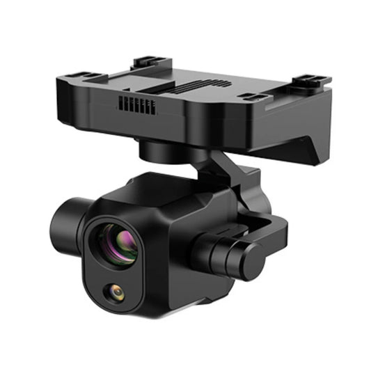
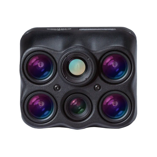
Top-tier options like the DJI Zenmuse X5S and DJI Zenmuse XT2 640 9MM offer sharp visuals and thermal insights for structural evaluations, while the ACSL SOTEN High Resolution Thermal Camera combines advanced infrared imaging with reliable durability—ideal for complex commercial environments. For multispectral surveys and site vegetation assessments, the ACSL SOTEN Multispectral Camera and SOTEN Standard Camera provide versatile functionality without adding bulk.
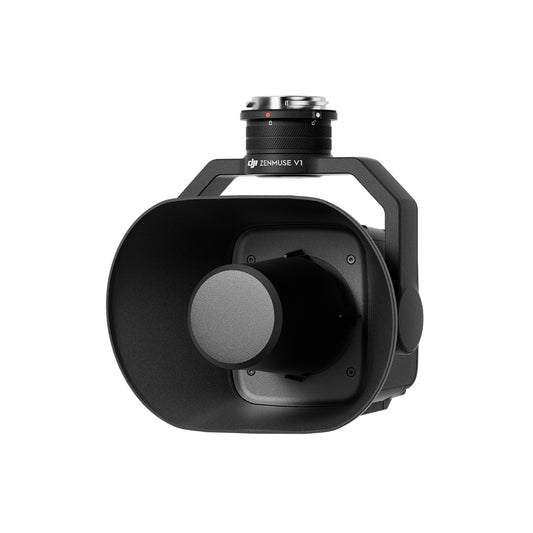
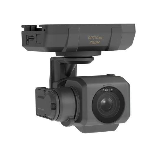
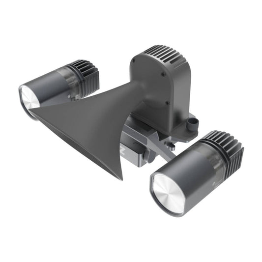
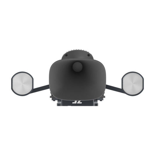
Need to zoom in on site features like crane towers, wiring conduits, or roof panels? The SOTEN Optical Zoom Camera and JZ Drones S3 Matrix Flash enhance clarity and visibility even in low light or high-altitude conditions. For real-time team coordination, the DJI Zenmuse V1 Speaker and S1 Spotlight help guide ground crews safely and effectively during active survey operations.
These payloads are built for the challenges of modern construction work—delivering precision imagery, environmental sensing, and thermal mapping all in one compact setup. Whether you're doing routine site checks or capturing data for digital twin modeling, this payload lineup ensures your drone delivers what the project demands.
-
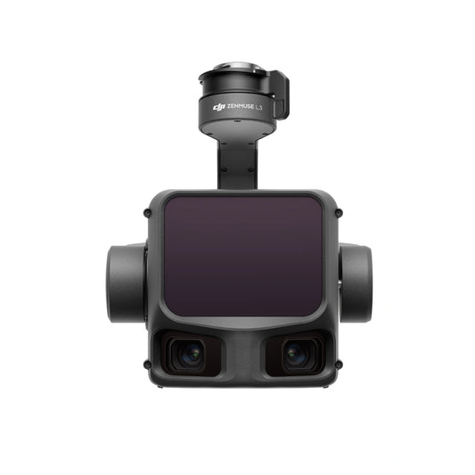
DJI Zenmuse L3 LiDAR Camera
Call for Price -
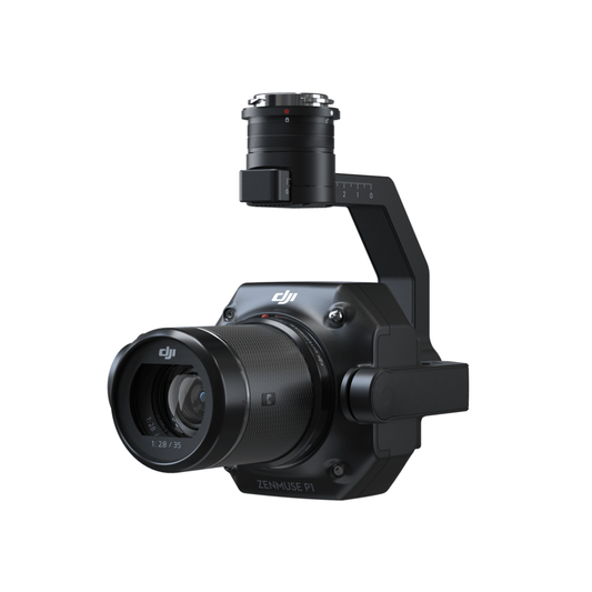
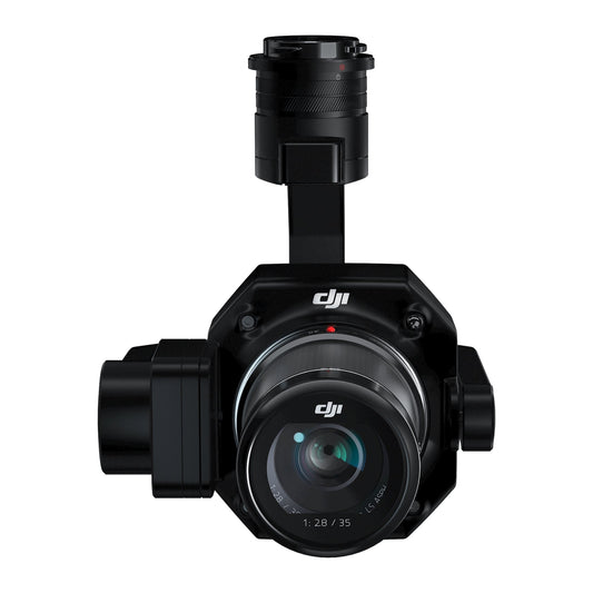
DJI Zenmuse P1 with DSLRPros Care Plus
Regular price $8,498.00Regular priceUnit price / per -
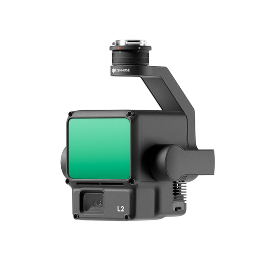
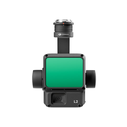
DJI Zenmuse L2 with DSLRPros Care Plus
Regular price $14,698.00Regular priceUnit price / per -
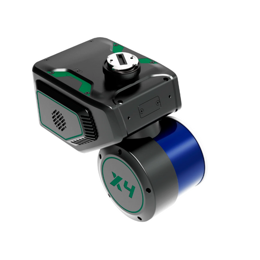
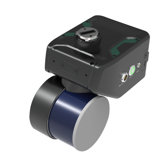
GreenValley LiAir X4 Airborne Laser Scanning Unit
Regular price $29,800.00Regular priceUnit price / per -
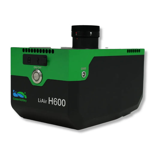
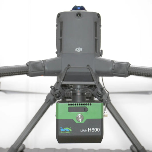
GreenValley LiAir H600 UAV LiDAR System
Regular price $43,800.00Regular priceUnit price / per -
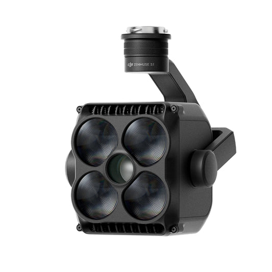
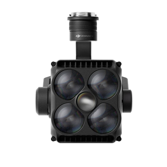
DJI Zenmuse S1 Spotlight
Regular price $1,889.00Regular priceUnit price / per -
DJI Zenmuse V1 Speaker
Regular price $1,221.00Regular priceUnit price / per -
ACSL SOTEN High Resolution Thermal Camera
Regular price $6,900.00Regular priceUnit price / per -
ACSL SOTEN Standard Camera
Regular price $1,000.00Regular priceUnit price / per -
ACSL SOTEN Optical Zoom Camera
Regular price $1,725.00Regular priceUnit price / per -
ACSL SOTEN Multispectral Camera
Regular price $5,405.00Regular priceUnit price / per -
 Sold out
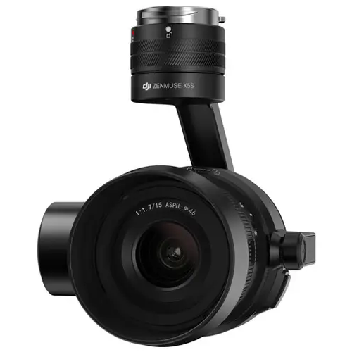
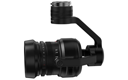
DJI Zenmuse X5S
Regular price $799.99Regular priceUnit price / per$2,049.00Sale price $799.99Sold out -
JZ Drones PTS4 Visual Drop Kit for DJI M350/M300
Regular price $1,199.00Regular priceUnit price / per -
Sentera 65R Sensor Kit for M300/350 (27MM, Skyport V2)
Regular price $10,975.00Regular priceUnit price / per -
Sentera 6X Thermal Sensor Kit for M300/M350
Regular price $16,750.00Regular priceUnit price / per -
Sentera 6X Thermal Pro Sensor Kit for M300/M350
Regular price $20,275.00Regular priceUnit price / per -
JZ Drones M30 Quick Search Kit for DJI M30 Series (H1E + T60s + M30 PSDK Adapter Bracket)
Regular price $1,599.00Regular priceUnit price / per -
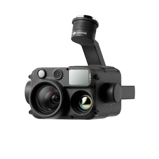
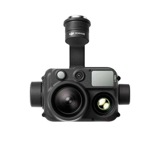
DJI Zenmuse H30T with Care Enterprise Plus
Regular price $11,560.00Regular priceUnit price / per -
DJI Zenmuse L2 LiDAR Camera
Regular price $12,499.00Regular priceUnit price / per -
CZI TH4 V2 Drop System for M300/M350/M400
Regular price $1,150.00Regular priceUnit price / per -
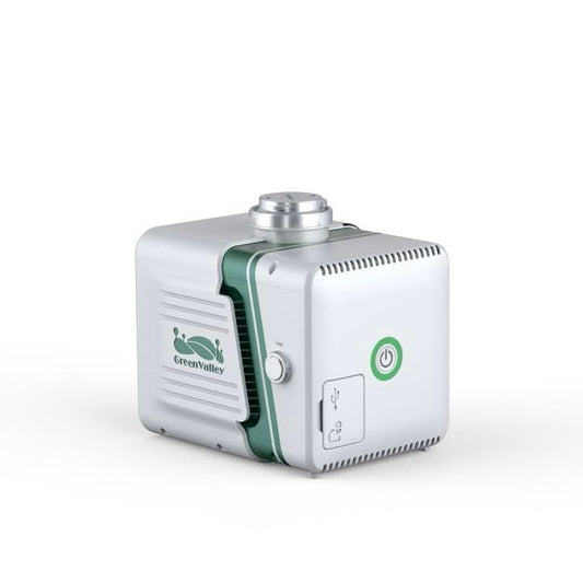
GreenValley LiAirX3-H Airborne Laser Scanning Unit
Regular price $11,290.00Regular priceUnit price / per -
Inspired Flight Sentera 65R Payload for IF800
Regular price $12,000.00Regular priceUnit price / per -
Deepthink S3 Tri-Sensor Night Vision Thermal Imaging Camera for DJI Matrice 350
Regular price $6,599.00Regular priceUnit price / per$6,999.00Sale price $6,599.00Sale -
GreenValley LiAir H800 UAV LiDAR System
Regular price $67,000.00Regular priceUnit price / per -
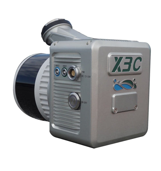
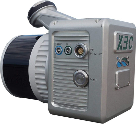
GreenValley LiAir X3C-H Compact UAV LiDAR System
Regular price $19,400.00Regular priceUnit price / per
11 Ways Drones Benefit Construction Surveys and Mapping
Drones are transforming how construction teams survey sites, gather data, and make informed decisions. By flying above job sites and capturing accurate visuals, drones reduce manual workload and safety risks while delivering high-resolution imagery, real-time updates, and geospatial insights. Whether you’re managing a large infrastructure project or documenting each stage of a commercial build, drone technology gives you the visibility and speed today’s construction demands.
-
Need for Speed: Drones Do It Faster
A ground-based survey crew could take days or even weeks to properly cover a massive construction site – yet with a drone you can wrap things up in a few hours. Drones can easily fly over the site, capturing all the detailed data you need at a fraction of the time of traditional methods.
-
Safety: Taking the Risk out of Surveys
Drones reduce the need for surveyors to work in hazardous or hard-to-reach areas, such as on busy roads, near cliffs, or in unstable terrain. By using drones, the risk of accidents and injuries is significantly reduced.
-
Cost Savings: Free Up More of Your Budget
Saving money is always a good thing, right? Well, drone construction surveying lets you do just that. Instead of hiring a whole crew to survey your site, you can rely on a drone and a skilled operator. Not only will you cut labor costs, but you'll also save time, and as they say – time is money! And you can also undertake frequent surveys without budgetary strains.
-
High-Resolution Imagery: See it All, Miss Nothing
Drones equipped with high-res cameras can capture detailed aerial imagery that can be used to create accurate topographic maps, orthophotos, and 3D models of a construction site.
-
Flexibility and Versatility
Project requirements vary from one site to the next, and through the different stages of a job. Whether you need a different flight path or a special sensor, drones can adapt to your specific needs. Switch out payloads – from LiDAR, thermal cameras, or multispectral cameras, to collect the specialized data you require.
-
Real-Time Data: Keeping You in the Loop
Drones can provide real-time data and imagery, which can be invaluable for monitoring construction progress, identifying potential issues, and making quick decisions.
-
Improved Accuracy: Nail the Details with Spot-On Surveys
When it comes to construction, accuracy is key. Drones can capture a high density of data points, resulting in more detailed surveys. And with compatible mapping software, you can process the data to create precise topographic maps and 3D models.
-
A Site's Life Story: Drones Document Every Chapter
The comprehensive aerial imagery and data from a construction site that you obtain with drones provides a valuable record of site conditions, construction progress, and any changes over time.
-
Enhanced Communication
Drones can create stunning visual materials that help you convey information to clients, stakeholders, or team members. Having visuals that make it easier for everyone to digest complex elements results in better collaboration and effective decision-making.
-
Pre-Construction Planning Made Easier
Before the first shovel hits the ground, drones can help map terrain, identify elevation changes, and flag potential site obstacles. By generating detailed pre-construction visuals and digital surface models, planners and engineers can make more informed layout decisions, refine timelines, and spot issues long before they become costly delays.
-
Drone Accessibility: Go Where Crews Can’t
Drones can access tight, elevated, or hazardous areas that would be difficult or dangerous for ground crews. This opens up new possibilities for inspecting rooftops, bridge undersides, and narrow structural gaps without needing scaffolding or risking safety. Their mobility gives survey teams a broader, safer range of coverage.
10 Applications of Drones in Construction Survey
Construction survey drones are more than just tools—they're problem solvers in the sky. These UAVs bring speed, accuracy, and efficiency to every phase of a project, from initial assessment to final documentation. Whether you’re mapping large terrain, measuring volumes, inspecting hard-to-reach areas, or building detailed 3D models, drones make the process faster, safer, and more precise. Their ability to gather real-time data and visual insights helps construction teams make better decisions, avoid delays, and stay within budget.
Below are 10 practical applications of drones in construction surveying that highlight how they’re transforming the industry.
-
Site Assessment
Drones can be used to quickly and accurately survey a construction site before work begins, identifying potential obstacles or hazards and providing a detailed topographical map.
-
Volume Measurements
Construction teams can capture data to calculate volumes of stockpiles or excavations with drones, helping them manage materials, waste disposal, and earthwork operations more efficiently.
-
Erosion Control
Use your construction survey drone to monitor erosion patterns and sedimentation on a site. This makes it easier for you to remain compliant with environmental regulations by taking actionable steps to prevent soil loss.
-
Construction Progress Monitoring
Keeping track of construction progress can feel like chasing a moving target. But with drones, you can get a bird's-eye view of the whole site, tracking progress in real-time. From project managers to stakeholders, everyone can get regular updates on how the project is coming along.
-
Building Inspection
Drones can be used to inspect hard-to-reach areas of a building, such as roofs, facades, and chimneys, without the need for scaffolding or other expensive equipment.
-
3D Modeling
Capture high-resolution images from multiple angles, and use them to create detailed 3D models of a construction site or building. These models are an asset for designing, visualization, and keeping your project on track.
-
Thermal Imaging
Survey drones that come with thermal cameras can detect heat leaks in a building's envelope or identify hotspots in electrical systems. Use this data to guide efforts to improve energy efficiency and safety.
-
As-Built Documentation
Drones give you detailed imagery and video data of a completed project, providing accurate as-built documentation for future reference, maintenance, or retrofitting purposes.
-
Slope Stability Analysis
Nobody wants a landslide, especially on a construction site. Drones enable you to obtain data for stability analysis, to assess and reduce the risk of this happening.
-
Historical Documentation
Drones can be used to document historic buildings or archaeological sites before construction or renovation work begins, helping to preserve cultural heritage.
Learn About the Technology of Construction Survey
When overseeing a massive construction site, you want to ensure every nook and cranny is accounted for, and that's where drone site surveys come in. With advancements in drone technology, construction site mapping has never been more detailed or accessible.
When you think of precision, the DJI Matrice 350 RTK Drone Combo immediately comes to mind. Engineered for durability and exceptional flight capability, it provides high-precision mapping for seamless construction site mapping. The powerful DJI O3 Enterprise Transmission system allows for a stunning 20 km transmission distance, while its multi-payload support, accommodating up to 2.7 kg, means you can mount leading payloads like the DJI Zenmuse H20 Series for comprehensive data collection. Plus, its air-to-ground coordination ensures that both aerial and ground operations are in perfect sync.
Now, if portability is your priority, the DJI Mavic 3 Thermal will catch your eye. Compact, yet powerful, this drone brings a 640×512 px thermal camera into the fold, pivotal for nighttime operations and precise thermal readings. Its 45-minute flight duration ensures extensive site coverage, and with DJI O3 Enterprise image transmission, you can expect stable, far-reaching signals.
For a comprehensive package, the Autel EVO II Dual 640T Enterprise Bundle V3 has you covered. Not only does it boast a high-resolution thermal imaging camera, but it also shines in low-light scenarios with 40% more light sensitivity. The 13mm focal length lens offers a 4k HDR & 16x digital zoom. Coupled with SkyLink 2.0 video transmission reaching up to 15 km and a substantial 38-minute flight time, it's a formidable tool in drone construction surveying. This drone package even offers unique enterprise accessories like a loudspeaker and spotlight, ensuring varied operational capabilities.
Safety is paramount. Features such as the Matrice 350 RTK's 6-directional sensing and positioning or the Mavic 3 Thermal's omnidirectional obstacle avoidance ensure that the drone is always aware of its surroundings, reducing risks.
At DSLRPros, we ensure that you're not just buying a drone; you're investing in a complete package. With products like the DSLRPros Matrice 350 RTK Ultimate 3D Mapping Package, you're equipped with the tools and knowledge to master drone site surveys. The package comes with the flagship drone with its built-in RTK for centimeter-level accuracy, includes the Zenmuse P1 Full-Frame Camera for capturing high-resolution images and even DJI Terra Mapping Software for efficient data processing. Plus, DSLRPros offers one day of free in-person training at your location with this package, ensuring you can maximize the benefits of this powerful mapping solution.
Step up your construction surveys with our cutting-edge drones and bundles. With options for every need and budget, we’ve got you covered. Questions or need some guidance? We’d love to chat – call(877) 299-1075or(213) 262-9436or email us atsales@DSLRPros.com.
The DSLRPros Advantage
-

UAV THERMAL EXPERTS
We are industry leaders in thermal imaging drones. As one of the pioneers in thermal drone technology, our team of experts will help you build a custom solution that meets both your budget and needs.
-

MISSION SPECIFIC SOLUTIONS
We specialize in the development and delivery of cost-effective mission-specific enterprise solutions. All our kits are specially designed, assembled, and individually tested for quality assurance in the United States.
-

AFTER PURCHASE SUPPORT
Our customer service doesn't just end with your purchase; we go the extra mile to make sure our customers have the guidance they need. As our customer, you will know us by name and can count on us for support whenever you need it.


