
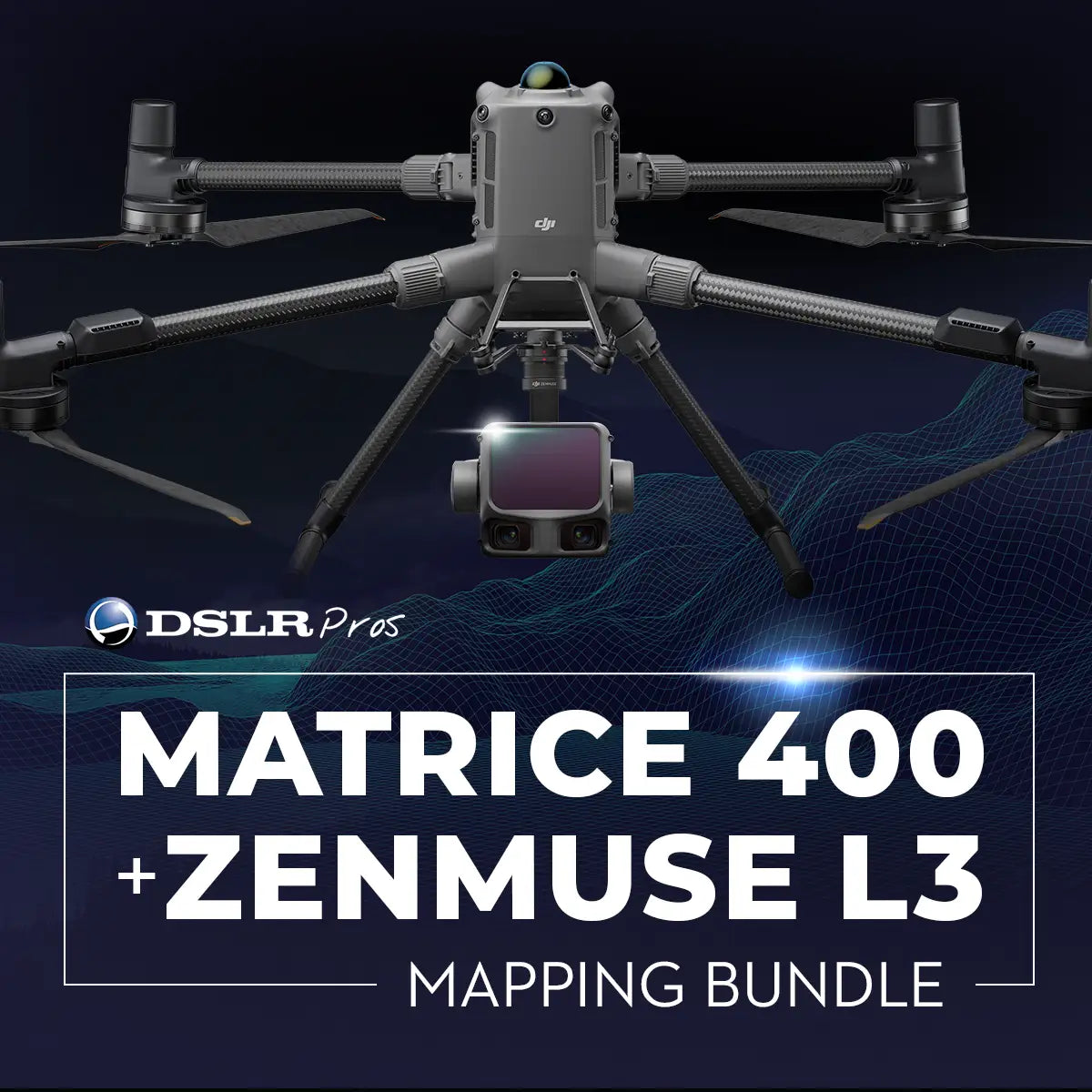
B-DJI-M400-L3-MAP
DSLRPros Matrice 400 + Zenmuse L3 Mapping Bundle
Product Summary
This complete enterprise mapping system pairs the Matrice 400 RTK with the Zenmuse L3's long-range LiDAR and dual 100 MP RGB cameras, delivering survey-grade results with 950 m range at 10% reflectivity, 2–4 cm accuracy, and up to 16 returns. A BS100 Battery Station and two TB100 batteries keep operations running through the day, while real-time point cloud preview in DJI Pilot 2 lets teams measure and validate results on site. The IP54-rated payload operates from -20°C to +50°C for reliable field deployment.
Key Features
In the Box
Vendor: DJI
MPN:
Fulfilled by: DSLRPros
Couldn't load pickup availability
Pickup available at EUAS
Usually ready in 24 hoursAll about the
DSLRPros Matrice 400 + Zenmuse L3 Mapping Bundle
Product Details & Specifications
Description
DSLRPros Matrice 400 + Zenmuse L3 Mapping Bundle: Complete Enterprise LiDAR Survey Solution
The DSLRPros Matrice 400 + Zenmuse L3 Mapping Bundle is a complete aerial mapping system built for professionals who require accuracy, efficiency, and reliability in every mission.
Combining the power of the Matrice 400 RTK with the precision of the Zenmuse L3’s long-range LiDAR and dual 100 MP RGB cameras, this bundle provides survey-grade results across wide areas with minimal setup.
It includes the BS100 Battery Station and two TB100 batteries to keep operations running all day—supported by DSLRPros’ enterprise-level integration and after-sales assistance.
What This Bundle Delivers
- Complete mapping kit: includes aircraft, payload, battery station, and 2 batteries.
- Zenmuse L3 LiDAR: 950 m @ 10 % (100 kHz) range, 2–4 cm accuracy, 16 returns.
- Dual 100 MP cameras: capture orthophotos and colorized 3D point clouds.
- Matrice 400 RTK: centimeter-level positioning for consistent survey data.
- RTK/PPK integration: delivers precise georeferencing in every flight.
- BS100 Battery Station: charge and manage multiple TB100 batteries efficiently.
- 2 TB100 batteries: extend flight time for continuous coverage.
- Real-time point-cloud preview: measure and validate onsite in DJI Pilot 2.
- Rugged IP54 payload: operates from –20 °C to +50 °C for field reliability.
Integrated Power and Precision for Aerial Surveying
The Matrice 400 RTK offers robust propulsion, long flight times, and RTK positioning accuracy within centimeters. It supports the Zenmuse L3’s 1.6 kg payload and ensures stable, consistent data capture in complex environments.
The Zenmuse L3 extends LiDAR range up to 950 m @ 10 % reflectivity (100 kHz) and 700 m @ 10 % (350 kHz) while maintaining 2–4 cm measurement accuracy.
The combination of DJI’s latest flight platform and advanced sensor technology delivers unmatched reliability for mapping, inspection, and modeling missions.
Optimized for Efficiency, Reliability, and End-to-End Workflow
Equipped with a 1535 nm Class 1 laser and dual 100 MP Micro 4/3 cameras, the Zenmuse L3 produces detailed point clouds, orthophotos, and 3D models in a single flight.
Adjustable scan rates (100 kHz – 2 MHz) and up to 16 returns enable clear ground readings even through vegetation. The payload’s compact 192 × 162 × 202 mm build, IP54 protection, and 64 W typical power draw make it efficient and field-ready.
Seamless integration with DJI Terra and Modify ensures smooth data processing from acquisition to final output.
System Components and Integration
- Supported platform: DJI Matrice 400 RTK.
- Payload: DJI Zenmuse L3 LiDAR + dual camera system.
- Positioning: RTK and PPK fusion for survey-grade accuracy.
- Software: DJI Terra for processing, DJI Modify for data refinement.
- Power system: DJI BS100 Battery Station with TB100 compatibility.
- Workflow: unified DJI ecosystem from mission planning to output.
Field-Ready Applications
- Topographic and engineering mapping: generate accurate DEM and 3D models.
- Infrastructure inspection: analyze bridges, dams, and power transmission assets.
- Mining and terrain surveying: measure volumes and elevation changes.
- Forestry and vegetation mapping: capture ground data through dense canopy.
- Urban planning and digital twin creation: model construction sites and cities.
- Environmental research: support hydrology, erosion, and biomass studies.
- Emergency response: produce situational maps and volume assessments on demand.
Configured for Professional Deployment
The DSLRPros Matrice 400 + Zenmuse L3 Mapping Bundle streamlines every step of enterprise mapping. From flight execution to data processing, it provides a unified workflow through DJI Terra, Modify, Pilot 2, and FlightHub 2.
With DSLRPros’ proven integration experience, field training, and dedicated after-sales support, this bundle is built to deliver dependable, survey-grade performance for real-world operations.
The DSLRPros Matrice 400 + Zenmuse L3 Mapping Bundle enables professionals to capture precise, high-density data with greater efficiency and confidence. Contact DSLRPros today to request a quote or schedule a live demo with our enterprise specialists.
Key Features
Specifications
What's in the Box?
DSLRPRosCare Extended Warranty
DSLRPROS DJI Care is our exclusive extended warranty program, designed to give you peace of mind and extra protection for your drone investment.
- Coverage Length: 13 months from the date your product ships
- What’s Covered: Accidental damage from pilot error, collisions, drops, water exposure, signal interference, and internal malfunctions
- What’s Not Covered: Intentional misuse, modifications, loss or theft, cosmetic wear, consumables (like propellers or batteries), or operation outside manufacturer guidelines
- Replacements: One replacement during the coverage term. Replacement may be new or refurbished. If unavailable, we’ll provide a product of similar capability.
- How to File a Claim: Notify support@dslrpros.com within 7 days of an incident. Ship the product using the label we provide.
- Eligibility: Policy must be purchased before your product ships from DSLRPROS. Coverage applies only to the original purchaser.
Simple, clear protection—so you can focus on flying, not worrying.
Frequently Asked Questions
More questions? Speak with an Expert.
What is included in the DSLRPros Matrice 400 + Zenmuse L3 Mapping Bundle?
What is the effective LiDAR range of the Zenmuse L3?
Can this bundle generate 3D models and orthophotos?
What software is supported for data processing?
DSLRPros Verified Reviews
Verified DSLRPros Reviews & Ratings
Inquire about the DSLRPros Matrice 400 + Zenmuse L3 Mapping Bundle
Our experts are here to help answer any questions you might have.
Thanks -- we got it.
Thanks! A drone specialist will be in touch within one business day.