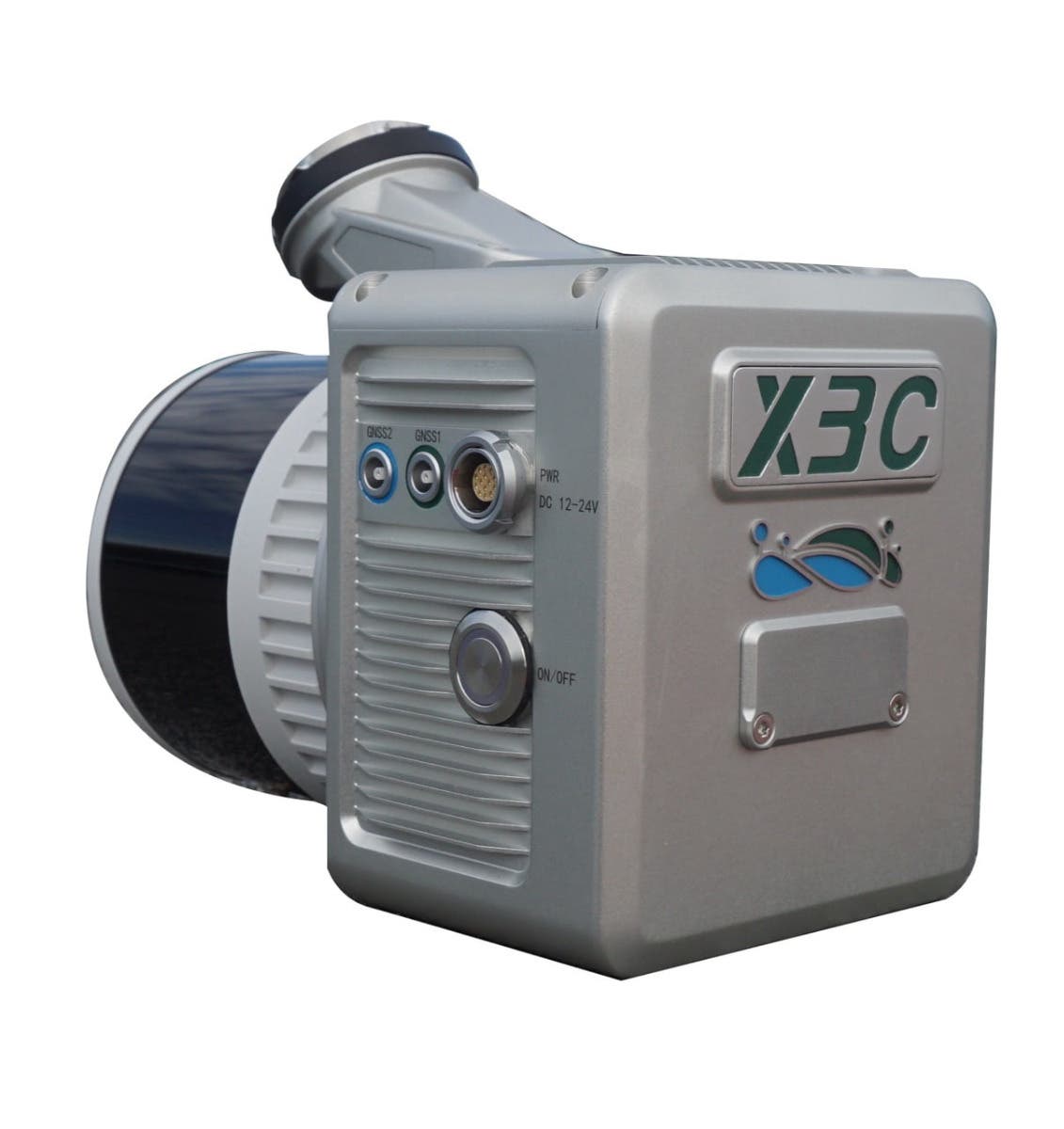
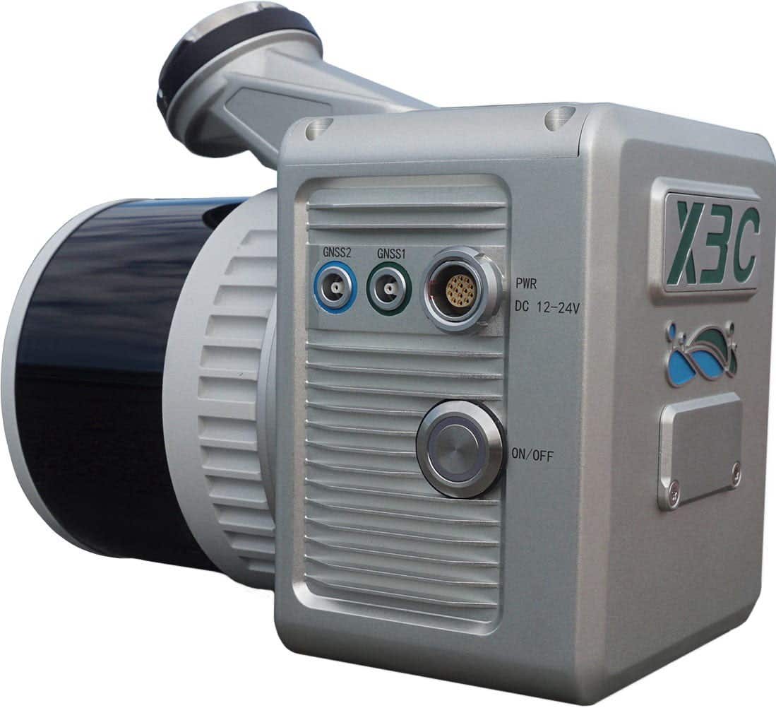
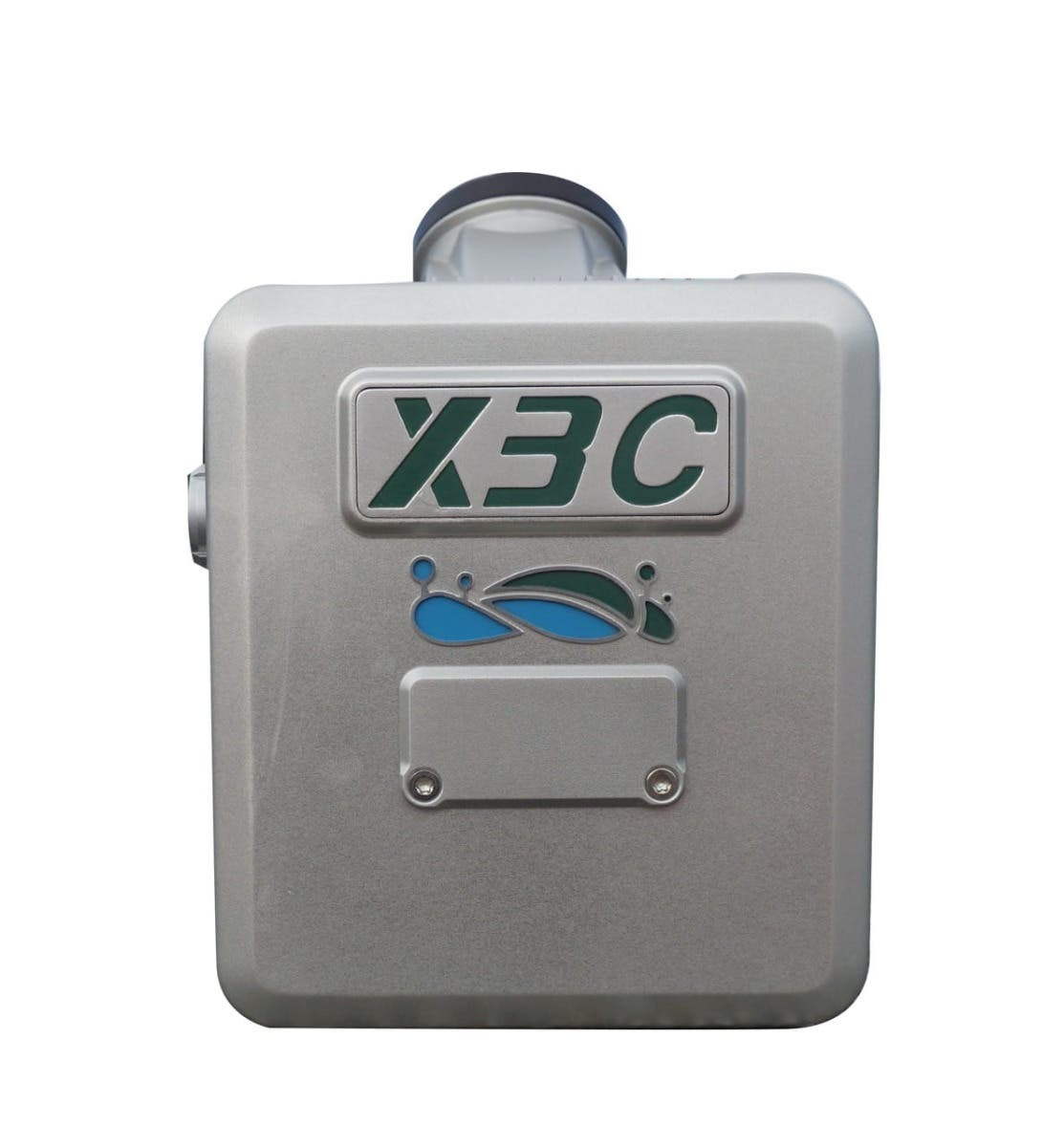
GreenValley LiAir X3C-H UAV LiDAR System
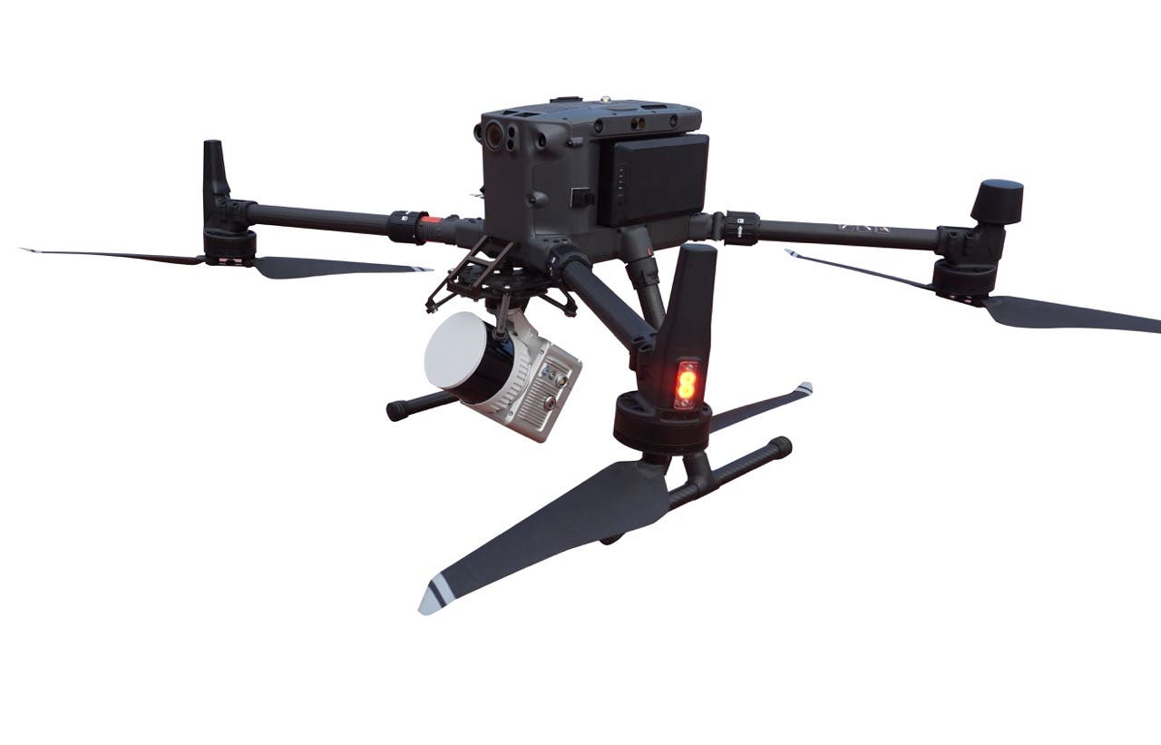
Get precise aerial LiDAR data in a compact, reliable payload. The GreenValley LiAir X3C-H is a high-precision UAV LiDAR system built for professionals in topographic mapping, forestry, utilities, and infrastructure inspection. Designed for drone platforms like the DJI Matrice 300 and 350 RTK, it delivers accurate point clouds, efficient workflows, and minimal weight—without compromising performance.
Why Choose the LiAir X3C-H
- Lightweight 1.12 kg design reduces drone payload stress
- Up to 300 m detection range with ±5 cm accuracy
- Captures up to 1.92 million points per second
- Integrated 26 MP camera for enhanced visual mapping
- Supports triple-return data for dense vegetation or terrain models
- Built to handle extreme field conditions (–20°C to 50°C)
- Compatible with GreenValley software including LiGeoreference and LiDAR360
Built for Field Applications That Demand Accuracy
From utilities to environmental research, the LiAir X3C-H helps teams map faster and more accurately.
- Power line inspection – Identify sag, encroachment, and defects across transmission corridors
- Forestry and vegetation analysis – Perform canopy structure analysis and biomass estimates using triple-return data
- Surveying and topography – Create 3D terrain models with consistent vertical accuracy across complex terrain
- Urban infrastructure mapping – Document roads, buildings, and bridges with dense colorized point clouds
- Agriculture and land monitoring – Track elevation, drainage, and plant health changes across growing seasons
Optimized System Specs for High-End Drone Mapping
| Feature | Specification |
|---|---|
| Max Detection Range | 300 m (90% reflectivity) |
| Vertical Accuracy | ±5 cm @ 70 m |
| Point Rate | 640k (single), 1.28M (dual), 1.92M (triple) pps |
| FOV | 360° Horizontal × 40.3° Vertical |
| Laser Wavelength | 905 nm |
| Returns Supported | Up to 3 |
| Navigation GNSS | GPS, GLONASS, Galileo, BD |
| Attitude Accuracy | 0.008° |
| Azimuth Accuracy | 0.038° |
| Camera | 26 MP, 6252×4168 resolution, 16mm or 24mm lens |
| Weight | 1.12 kg |
| Power Consumption | 24 W |
| Operating Temp Range | –20°C to 50°C |
| Storage Temp Range | –30°C to 60°C |
| Memory | 256 GB TF Card |
| Software Compatibility | LiGeoreference, LiDAR360, LiPowerline |
| Drone Platforms | DJI Matrice 300/350 RTK, Freefly, others |
Camera System with Precision Imaging
The onboard 26 MP RGB camera adds visual data to your point clouds, improving classification and colorization in post-processing. Options for 16 mm or 24 mm focal lengths allow flexibility depending on flight altitude and area coverage.
- High-res imagery: 6252 × 4168 px
- 1-inch CMOS sensor for low-noise image capture
- Optimized for daylight and variable lighting conditions
Real-Time Performance with SLAM Integration
The LiAir X3C-H supports triple-return LiDAR data and is engineered to support real-time SLAM-based mapping for applications where GNSS signals may degrade—like forested regions or urban canyons.
- SLAM mode: maps in GPS-denied areas
- PPK and RTK options: for post-processed or real-time georeferencing
- IMU data rate: 200 Hz for fast, responsive updates
Software Integration
The system works seamlessly with GreenValley’s software suite:
- LiGeoreference – For syncing raw LiDAR with GNSS and IMU data
- LiDAR360 – For point cloud generation, visualization, and classification
- LiPowerline (optional) – Tailored for utility corridor inspection and analysis
Built for Harsh Environments
- Operates from –20°C to 50°C
- Stores safely in –30°C to 60°C
- Compact and ruggedized housing
- Long flight time compatible with low 24W power draw
Frequently Asked Questions
What drones can carry the GreenValley LiAir X3C-H?
It integrates with industrial drones like DJI Matrice 300/350 RTK, Freefly Alta series, and other compatible heavy-lift UAVs.
How accurate is the LiAir X3C-H system?
It delivers ±5 cm vertical accuracy at 70 meters and supports triple returns for detailed surface data.
Can I use this in dense forest environments?
Yes. The triple-return LiDAR mode and 905 nm wavelength make it effective for vegetation penetration and terrain modeling.
Does it support real-time processing?
Yes. The system supports SLAM and RTK workflows and integrates with LiGeoreference for near real-time results.
What post-processing software is included?
The system includes LiGeoreference and supports optional modules like LiDAR360 and LiPowerline for application-specific tasks.
Order the GreenValley LiAir X3C-H
Deploy precision mapping at scale with the GreenValley LiAir X3C-H. This compact UAV LiDAR system brings accuracy, speed, and versatility to your inspection and surveying workflows.
Talk to a drone expert at DSLRPros for pricing, demo scheduling, or integration support.
Specifications
System Specifications
Detection Range:
80 m (reflectivity ≥ 10%)
200 m (reflectivity ≥ 54%)
300 m (reflectivity ≥ 90%)
Accuracy (Vertical): 5 cm @ 70m
Typical Flight Speed: 5-10 m/s
Weight: 1.12 kg
Memory: 256 GB TF Card
Voltage: 12~24 V
Power Consumption: 24 W
Operating Temperature: -20~50 ℃
Storage Temperature: -30~60 ℃
Communication: WIFI
LiDAR Unit
Wavelength: 905 nm
Number of Channels: 32
Point Rate:
First Return: 640,000 points/s
Dual Return: 1,280,000 points/s
Triple Return: 1,920,000 points/s
FOV: 360° (Horizontal)×40.3° (Vertical)
Number of Returns: 3
Inertial Navigation System
GNSS: GPS, GLONASS, Galileo, BD
Azimuth Accuracy: 0.038°
Attitude Accuracy: 0.008°
IMU Data Frequency: 200 Hz
Camera
Pixels: 26 Megapixels
Image Size: 6252×4168
Focal Length: 16 mm / 24 mm (Equiv. Focal Length)
Software
Pre-processing: LiGeoreference
Post-processing: LiDAR360 / LiPowerline (Optional)
Compatible Platforms
Platforms: DJI, Freefly, etc.
In the Box
- 1x GreenValley LiAir X3C-H Compact UAV LiDAR System


