


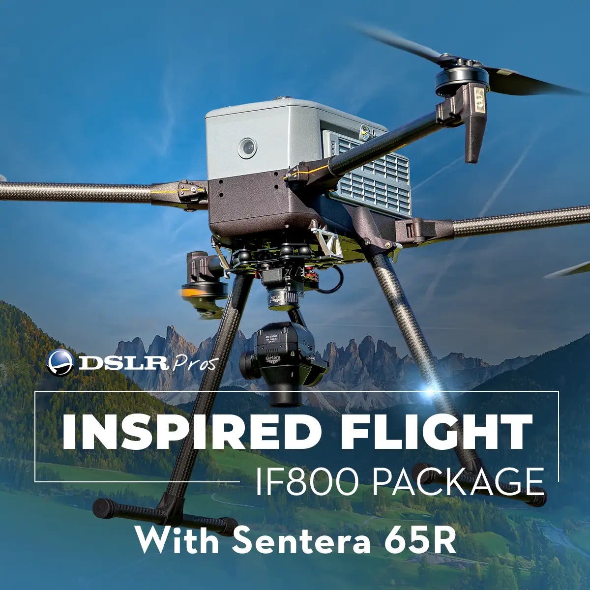
DSLRPros Inspired Flight IF800 Sentera 65R Mapping Combo
DSLRPros Inspired Flight IF800 Sentera 65R Mapping Combo
SKU:B-IF-IF800-MAP

- Description
- Specifications
- In the Box
- FAQ
High-Resolution Mapping with IF800 + Sentera 65R Combo
The IF800 + Sentera 65R Mapping Combo is designed for professionals seeking high-resolution aerial mapping and surveying solutions.
This package includes the robust IF800 Quadcopter, equipped with the advanced Blue Herelink Ground Control Station, and the ultra-precise Sentera 65R payload.
The IF800 Advantage
The IF800 is built to endure long missions while carrying professional-grade payloads:
- NDAA-compliant and Blue UAS-approved: Highly trusted platform for government, defense, and critical-infrastructure operations
- Long flight time: Up to 54 minutes of endurance.
- High payload capacity: 6.6 lbs (3.0 kg) for EO/IR, optical, and LiDAR sensors.
- Fast & stable: Max speed of 49 mph with wind resistance up to 23 knots.
- Ready-to-deploy payloads: Designed with industry-specific integrations for quick setup.
The IF800 Quadcopter is known for its lightweight and foldable frame. It also has dual hot-swappable smart batteries which give up to 54 minutes of flight time, making the drone ideal for extended mapping and surveying missions.
NDAA-Compliant and Blue UAS-Approved
The Inspired Flight IF800’s NDAA compliance and Blue UAS listing give it a significant edge for organizations that prioritize security and procurement reliability.
Because the drone is built with approved, non-adversarial components, government agencies and contractors can confidently deploy it for sensitive operations without worrying about data vulnerability or restricted parts.

Its inclusion in the Blue UAS Cleared List also streamlines acquisition, since it removes much of the administrative friction usually required for federal approval. Beyond security, its Blue UAS status signals a high standard of performance and trustworthiness.
Sentera 65R System Capabilities
- Ultra-High Resolution Sensor: Gpixel GMAX3265 delivering 9344 × 7000 pixels at a 3.2 µm pixel size
- Sharp Imagery: 0.45 cm GSD at 125 ft AGL ensures precise detail for critical applications
- Fast Frame Speed: 3 fps global shutter for high-fidelity image capture without distortion
- Massive Internal Storage: 512 GB PCIe NVMe for handling large datasets on extended missions
- Compact & Lightweight: Measures 2.50" × 2.48" × 4.19" and weighs only 330g (with lens)
- Plug-and-Play Integration: Seamless support for small drones and RTK systems, including DJI M300/M350 with Skyport V2
The Sentera 65R offers a ground sampling distance of 0.45cm/pixel, capturing more pixels per image for exceptional detail and efficiency.
It integrates seamlessly with the IF800, focusing on ultra-high-resolution aerial image capture to support critical decisions in survey and mapping applications.
Whether you need an RGB mosaic, a detailed digital surface model (DSM), or in-depth analytics, the Sentera 65R generates the data required for your specific needs.
Configurable bundle
Optional items you may purchase with the combo include the IF800 Battery Kit, IF800 Battery Set, IF800 Spare Propeller Set, IF800 Spare Part Kit, AeroPoints 5-Pack, Firmware Upgrade Service, and Pix4Dmapper Desktop - Single Device Perpetual License.
This comprehensive package also comes with free lifetime customer care and technical support via phone, email, and chat, ensuring you have expert assistance whenever needed.
The IF800 Sentera 65R Mapping Combo is a reliable and efficient solution that enhances your drone operations with precision, advanced technology, and continuous support
