


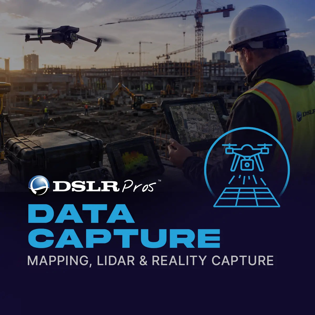
Data Capture, Mapping, LiDAR & Reality Capture
Data Capture, Mapping, LiDAR & Reality Capture
SKU:V-DPS-DATA-CAP-MAP

- Overview
- What's Included
- Service Options
- FAQ
Data Capture, Mapping, LiDAR & Reality Capture
Turn aerial data into practical maps, models, measurements, and decision-ready site intelligence.
Drone data is only worth collecting if it ends up as something your team can act on. A folder of photos doesn't tell you how much material is in a stockpile, how a site changed since last month, or whether an asset needs attention.
DSLRPros Data Capture, Mapping, LiDAR & Reality Capture services exist to convert aerial data into usable business intelligence: orthomosaics, 3D models, measurements, and reports, delivered once or on a recurring schedule that fits your operation.
Solution Overview
DSLRPros Data Capture, Mapping, LiDAR & Reality Capture services help customers collect and use aerial data for construction, inspection, surveying, infrastructure management, asset documentation, and recurring site visibility.
The service can support one-time capture missions, recurring site programs, or integrated workflows tied to your operations.
Aerial data is only valuable when it's captured correctly, processed into usable outputs, and delivered in a way that supports business decisions.
We help you define what needs to be captured, how frequently it should be collected, what equipment and workflows are required, and which deliverables will provide the most value.
This service is built for customers who want more than photos or videos. It can support orthomosaics, 3D models, point clouds, site progress documentation, stockpile measurement, thermal inspection support, digital twin inputs, and recurring visual intelligence for projects and assets.
What's Included
- Capture planning and scope definition : We define what you need to see, measure, inspect, or document before the mission begins, including site boundaries, frequency, data quality, deliverable format, and business use case.
- Orthomosaic mapping : Aerial imagery is captured and processed into high-resolution orthomosaic maps that help you understand site layout, progress, conditions, and changes over time.
- 3D modeling and digital visualization : Drone data is used to create 3D models or visual outputs that support site review, stakeholder communication, planning, and progress documentation.
- Stockpile and measurement workflows : For material yards, construction sites, mines, and industrial operations, drone data supports measurement workflows that reduce manual effort.
- LiDAR and reality capture support : When higher accuracy or complex surface capture is required, we can support LiDAR or advanced capture workflows for more detailed site representation.
- Recurring program structure : You can establish recurring capture schedules and reporting workflows so aerial data becomes a reliable input into operations, project management, or executive visibility.
What You Receive
- Mission Scope and Capture Plan : A plan defining capture area, mission frequency, deliverable requirements, data assumptions, and operational constraints.
- Orthomosaic Map Output : A geospatially useful map output suitable for site review, documentation, progress comparison, or stakeholder communication.
- 3D Model or Point Cloud Output : A visual or technical representation of the site, asset, terrain, or structure, depending on the selected workflow.
- Measurement or Inspection Summary : A customer-facing summary of relevant measurements, observations, site notes, or inspection findings.
- Recurring Site Report : For subscription programs, recurring reports summarizing site change, progress, risks, and recommended next steps.
- Data Delivery Package : Final files, links, or exports organized for customer review, internal sharing, or integration with your existing project workflows.
Outcomes and Business Value
- Better site visibility : Understand site conditions, progress, issues, and asset status without relying only on ground visits.
- Faster decision support : Review maps, models, measurements, and visuals remotely and more frequently.
- Reduced manual measurement effort : Drone-enabled workflows cut the time and effort required for certain field measurements.
- Improved stakeholder communication : Visual deliverables make it easier to brief owners, executives, contractors, insurers, agencies, or internal teams.
- Recurring operational intelligence : Subscription models turn aerial data into a consistent source of project and asset intelligence.
Service Tiers
This service scales from a single mapping mission to a recurring, multi-site program. Each service tier is scoped to your site and quoted individually.
- Basic Mapping Mission : A one-time aerial mapping or site documentation mission with standard deliverables.
- LiDAR / Reality Capture Mission : Specialized capture using higher-end sensors, data processing, and technical deliverables.
- Monthly Site Monitoring : Recurring site capture, progress updates, mapping outputs, and a reporting cadence.
- Enterprise Multi-Site Program : Recurring data capture and reporting across multiple sites, regions, or project portfolios.
Who It's For
This service is built for construction, engineering, surveying, infrastructure, and industrial teams that need reliable site intelligence, especially those dealing with limited site visibility, slow reporting cycles, a manual measurement burden, or disconnected project documentation.
Whether you need a single map or an ongoing source of site intelligence, the engagement scales to fit.
Ready to capture your site?
Contact DSLRPros to confirm the service scope, validate your site or program requirements, and receive a formal quotation tailored to your operational goals.
