


DJI Matrice 4E (Demo Unit)
DJI Matrice 4E (Demo Unit)
SKU:S-DJI-M4E-DEMO


- Description
- Specifications
- In the Box
- FAQ
DJI Matrice 4E (Demo Unit): Triple-Sensor Mapping Drone With 49-Minute Flight Time and Laser Rangefinder
The DJI Matrice 4E is a compact, multi-sensor enterprise drone purpose-built for geospatial professionals who need survey-grade imaging, RTK-level positioning accuracy, and extended flight endurance in a portable, rapidly deployable package.
Carrying a 4/3-inch 20 MP wide-angle camera, a 48 MP medium telephoto, and a 48 MP telephoto with 16× digital zoom—all on a 3-axis stabilized gimbal—alongside a laser rangefinder reaching 1,800 m (5,906 ft), the M4E delivers the imaging depth required for precision mapping, corridor inspection, and site documentation from a single aircraft.
Key Features and Benefits
- Triple-sensor imaging: 20 MP wide, 48 MP medium tele, and 48 MP tele cameras on one gimbal.
- Laser rangefinder: measures distances up to 1,800 m (5,906 ft) without ground contact required.
- RTK positioning: 1 cm + 1 ppm horizontal accuracy for repeatable, survey-grade flight paths.
- GCP-free mapping: wide-angle camera supports precision mapping missions without ground control points.
- Flight endurance: 49-minute flight time covers large survey areas on a single battery charge.
- Omnidirectional sensing: binocular vision and 3D infrared detect obstacles in all directions at up to 21 m/s.
- O4 Enterprise transmission: 25 km range (FCC) via 8-antenna system with 1080p/30fps live view.
- Compact form factor: folds to 260.6 × 113.7 × 138.4 mm for fast field deployment and transport.
- Hybrid zoom: 16× optical telephoto with 112× hybrid zoom for detailed target identification.
- Smart 3D Capture: generates a rough 3D model directly on the remote controller screen in the field.
This listing is for a like-new factory demo unit. The aircraft body carries a permanent factory engraving reading "Demo Unit Not For Sale," with the equivalent text in Chinese. This marking is purely cosmetic and does not affect any flight system, camera, sensor, or software function.
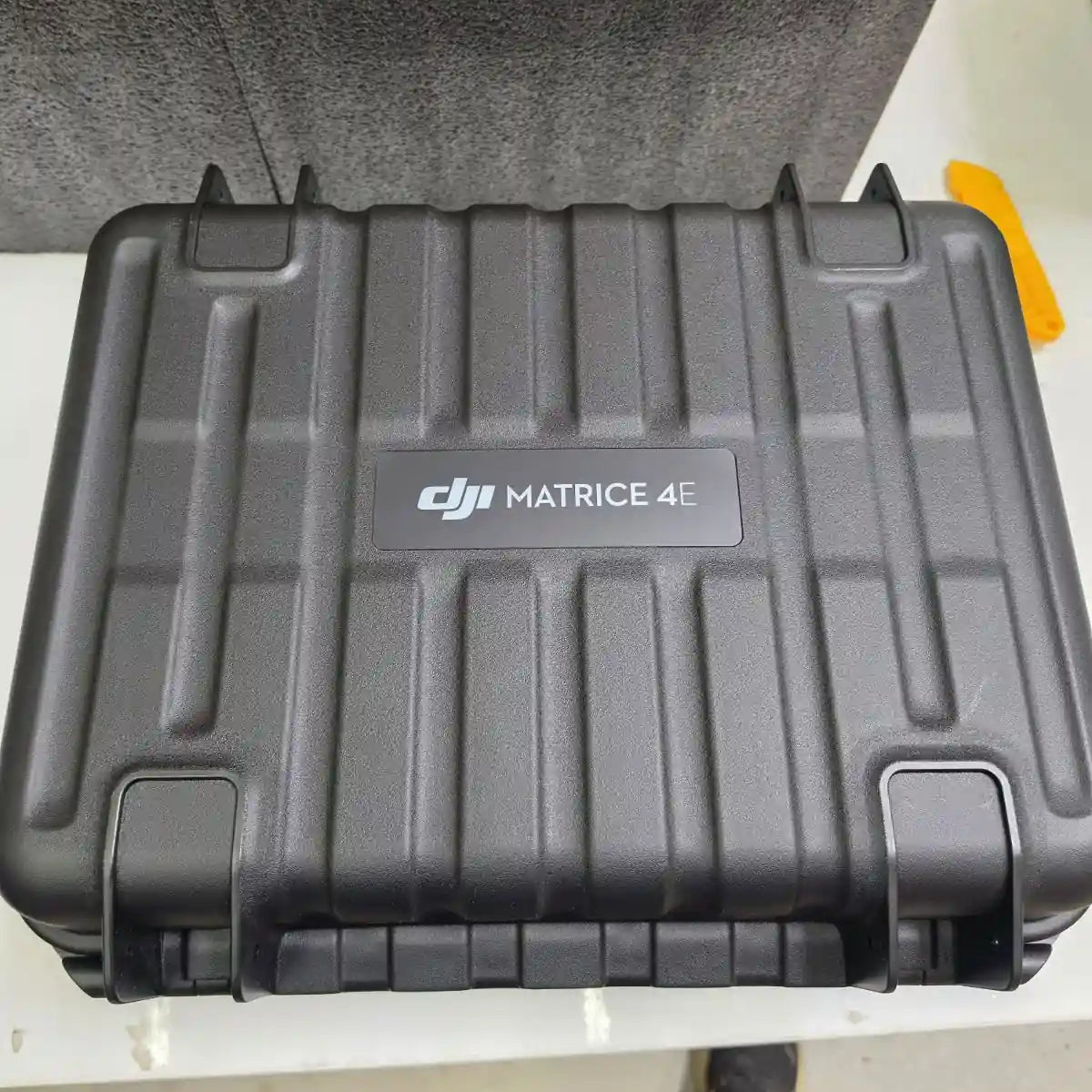
The unit is mechanically and electronically identical to a standard production M4E. One flight battery, three propeller pairs, the standard RC Plus 2 Enterprise Edition controller, charger, charging hub, and the official carry case are included. Note that the DJI Terra license is not included with this demo unit and must be purchased separately. The M4E does not carry an IP rating and is not designed for operation in rain or wet conditions.
Survey-Grade Output From a Portable, Rapid-Deploy Platform
The M4E is built around a core operational reality: geospatial teams need accurate data from as many sites as possible per day, not just per flight. The 4/3-inch wide camera captures 20 MP frames at 0.5-second intervals in both JPEG and RAW, and its mechanical shutter eliminates rolling shutter distortion on grid mapping passes.
RTK Fix accuracy of 1 cm + 1 ppm horizontal and 1.5 cm + 1 ppm vertical supports data collection that holds up against GCP-verified outputs. The GNSS and vision integrated positioning system allows return-to-home without a GNSS signal and enables takeoff within 15 seconds of powering on, keeping field workflows moving between battery swaps and site transitions.
Compatibility and System Integration
- D-RTK 3 Multifunctional Station: provides differential correction for centimeter-level RTK positioning in the field.
- DJI Terra software: processes M4E flight data into 2D orthomosaics, 3D models, and classified point clouds.
- DJI FlightHub 2: enables live flight control, multi-aircraft coordination, and remote mission oversight.
- DJI Cellular Dongle 2: optional 4G/LTE module for network RTK connectivity and expanded link reliability.
- DJI AL1 Spotlight: compatible accessory for low-light and nighttime operation via E-Port interface.
- DJI AS1 Speaker: compatible accessory for ground communication via E-Port interface.
- RC Plus 2 Enterprise Enhanced Edition: optional upgraded controller with additional expansion interfaces.
- Payload SDK and Cloud API: support third-party PSDK device integration via E-Port and E-Port Lite.
Applications and Use Cases
- Land surveying: RTK positioning and GCP-free wide-camera mapping reduce field setup time significantly.
- Construction monitoring: repeat flight paths at centimeter-level accuracy track site progress over time.
- Mining and quarrying: laser rangefinder and telephoto zoom support volume estimation and hazard documentation.
- Corridor inspection: 35 km (21.7 miles) flight range covers long-distance linear infrastructure in fewer sorties.
- Urban planning: 100 MP panorama stitching and Smart 3D Capture support rapid site modeling workflows.
- Precision agriculture: high-resolution multi-focal imaging supports crop analysis and field documentation.
The Matrice 4E exists to close the gap between portability and survey-grade output. Its mechanical shutter, RTK precision, multi-focal camera stack, and laser rangefinder give field operators the data quality they need without the weight and logistical overhead of larger platform systems.
DSLRPros has supported enterprise UAS teams across surveying, inspection, and public safety for decades. This demo unit ships in like-new condition with all standard operational components, giving buyers a direct path to deployment at a reduced acquisition cost. Order through DSLRPros today and put the M4E to work on your next mapping mission.
