


DJI Matrice 400 (Demo Unit)
DJI Matrice 400 (Demo Unit)
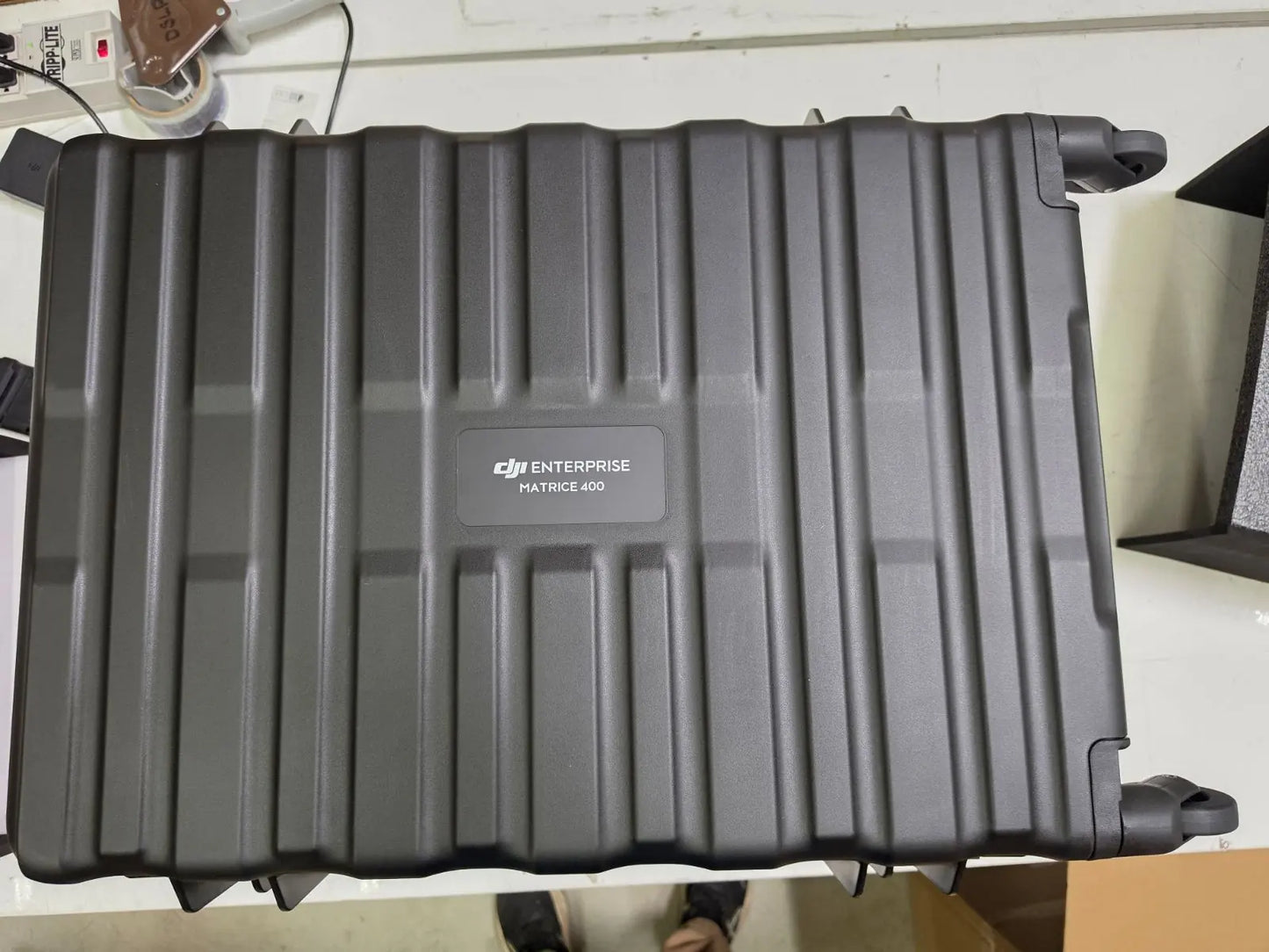
SKU:S-DJI-M400-DEMO


- Description
- Specifications
- In the Box
- FAQ
DJI Matrice 400 (Demo Unit): DJI's Enterprise Flagship With IP55 Protection and 59-Minute Flight Time
The DJI Matrice 400 is DJI's current enterprise flagship—a heavy-lift, multi-payload UAV platform built for professionals who operate in demanding environments and cannot afford downtime.
Carrying up to 6 kg (13.2 lbs) of payload, flying for up to 59 minutes on a single charge, and protected to IP55 against dust and moisture, the M400 is designed to keep working when conditions push lesser platforms to the ground. This listing is for a like-new demo unit in excellent condition, with all standard in-box components included.
Key Features and Benefits
- Payload capacity: carries up to 6 kg across single, dual, or third gimbal connectors.
- Flight endurance: 59-minute forward flight time supports long-duration missions without battery swaps.
- Rotating LiDAR: integrated airframe sensor detects vertical obstacles and terrain in real time.
- mmWave radar: six-direction sensing identifies 12 mm power lines at speeds up to 17 m/s.
- IP55 protection: operates reliably in rain, dust, and temperatures from -4°F to 122°F (-20°C to 50°C).
- O4 transmission: 40 km range (FCC) via ten-antenna aircraft system and phased array RC antenna.
- Hot-swap battery: onboard capacitor holds satellite lock through a 45-second battery exchange.
- E-Port V2 ports: four external ports support up to seven simultaneous payloads on one aircraft.
- ADS-B In: dual-antenna airborne receiver detects manned traffic up to 12.4 miles (20 km) away.
- Airborne relay: one M400 can serve as a signal relay node for a second M400 in obstructed terrain.
Note that this unit carries a permanent factory engraving on the aircraft body that reads "Demo unit, not for sale." This marking is cosmetic only and does not affect flight performance, sensors, or software functionality in any way.
The aircraft is mechanically and electronically identical to a standard production unit. Flight batteries and a battery charging station are not included and must be purchased separately.
Precision Sensing That Holds Up in the Field
The M400's obstacle sensing system is not an add-on—it is built into the airframe. A rotating LiDAR unit scans continuously for terrain features and vertical objects, while six-direction mmWave radar covers fast-approaching hazards at wire-level precision. Four full-color low-light fisheye vision sensors extend that awareness into darkness and low-visibility conditions.
At 25 m/s, the system can detect 21.6 mm steel-core aluminum conductors; at 17 m/s, it identifies 12 mm secondary distribution lines. For operators flying inspection corridors, conducting nighttime SAR, or working near infrastructure, this level of environmental awareness directly reduces incident risk on every sortie.
Compatibility and System Integration
- Zenmuse H30T payload: combines thermal, wide, and zoom cameras with a 1,200 m laser rangefinder.
- Zenmuse L2 payload: LiDAR scanning for high-accuracy 3D mapping and terrain modeling missions.
- Zenmuse L3 payload: next-generation LiDAR platform for large-area survey and inspection workflows.
- Zenmuse P1 payload: full-frame photogrammetry camera for precision aerial mapping with GCPs.
- Zenmuse H20N payload: multispectral night sensor for low-light search and target identification.
- D-RTK 3 Multifunctional Station: provides differential correction for centimeter-level RTK accuracy.
- DJI Terra software: processes M400 flight data into 2D maps, 3D models, and point clouds.
- DJI FlightHub 2: fleet management and remote operations platform for multi-aircraft coordination.
Applications and Use Cases
- Public safety: rapid aerial deployment for law enforcement, fire, and disaster response operations.
- Power line inspection: wire-level obstacle detection enables safe low-altitude corridor flying near infrastructure.
- Search and rescue: extended 59-minute endurance with thermal and zoom payloads covers large search areas.
- Large-area mapping: multi-payload E-Port V2 architecture supports photogrammetry and LiDAR in one flight.
- Construction monitoring: AR projection tools measure distances and areas directly from the controller screen.
- Offshore operations: ship-based takeoff and landing support extends deployments to maritime environments.
The Matrice 400 is built around a single operational principle: keep the aircraft in the air longer, with more sensors active, in more difficult conditions than any previous platform in its class.
For field operators running inspection corridors, SAR grids, or multi-sensor mapping missions, the M400 removes the constraints that force early RTH or mid-mission replanning.
DSLRPros has supplied enterprise UAV solutions to public safety agencies, utility operators, and professional survey teams for decades. When you purchase this demo unit through DSLRPros, you receive the same pre-sale inspection, expert support access, and after-sale guidance that we provide on every unit we ship.
If you are ready to put the M400 to work, order through DSLRPros today.
