


Speak With A Construction Surveying Drone Expert
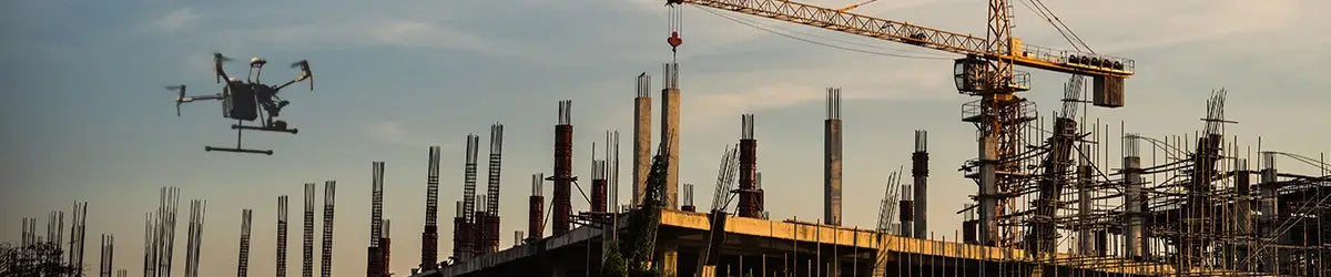
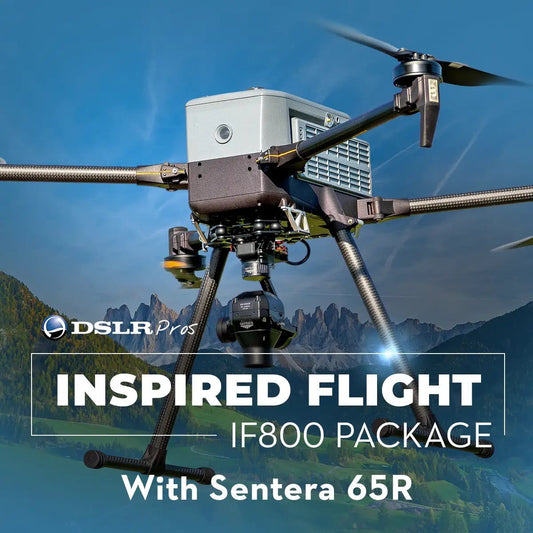
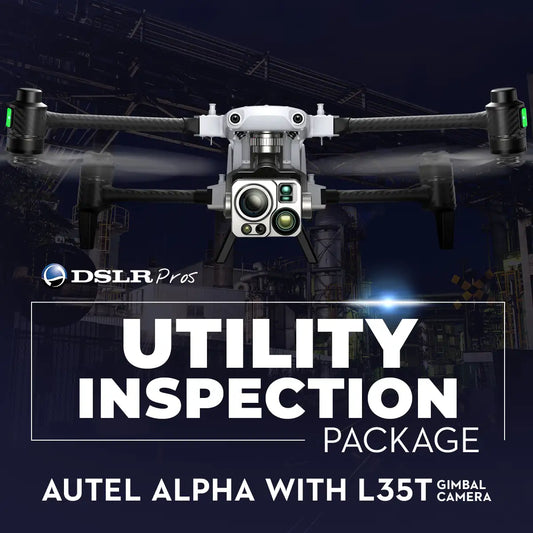
Construction drones are specialized unmanned aerial vehicles designed to streamline the way professionals survey, inspect, and manage job sites. Equipped with advanced sensors like LiDAR, RTK modules, and high-resolution cameras, these drones provide accurate, real-time data that replaces time-consuming manual tasks. Whether it’s mapping terrain before breaking ground, measuring stockpiles, or monitoring progress across large-scale builds, drones offer unmatched visibility and efficiency. Why use drones for construction? Because they help teams make faster, more informed decisions. From reducing labor hours and improving worker safety to cutting rework costs and producing highly detailed 3D maps, drone technology is reshaping the way construction is done. DSLRPros offers a full lineup of ready-to-fly solutions tailored for the job. Choose from powerful options like the DSLRPros Matrice 400 Ultimate 3D Mapping Package for pinpoint mapping, the DSLRPros Inspired Flight IF800 Sentera 65R Mapping Combo for long-range flexibility, or the Autel Alpha with L35T Gimbal Utility Inspection Package for high-resolution site intelligence. Explore our catalog of construction drone solutions and discover how this technology can make your site more productive, precise, and future-ready. Request a Quote or call us at +1 (877) 299-1075 to speak with an experienced drone expert today.
Construction Survey Drones and Bundles
-
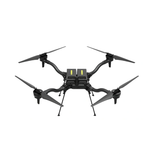
DSLRPros Indoor Drone Solution
Call for Price


Payloads for Construction Survey Drones
-
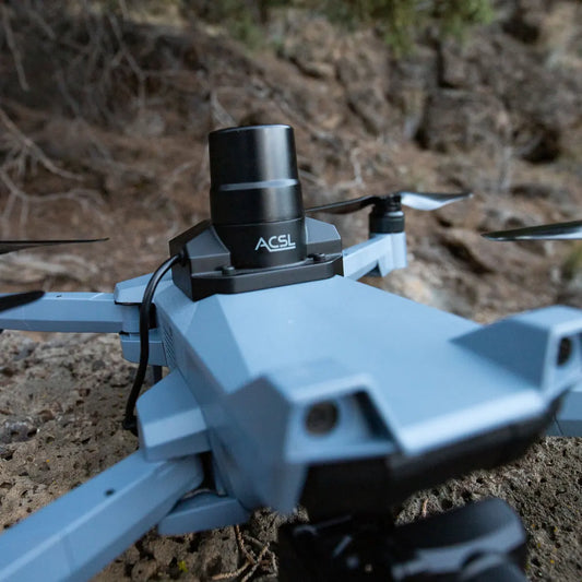
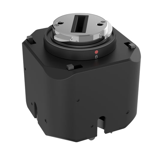
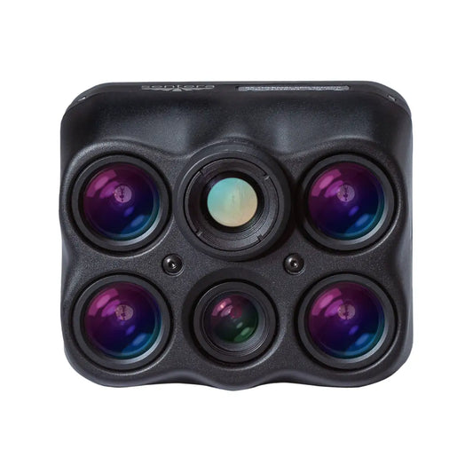
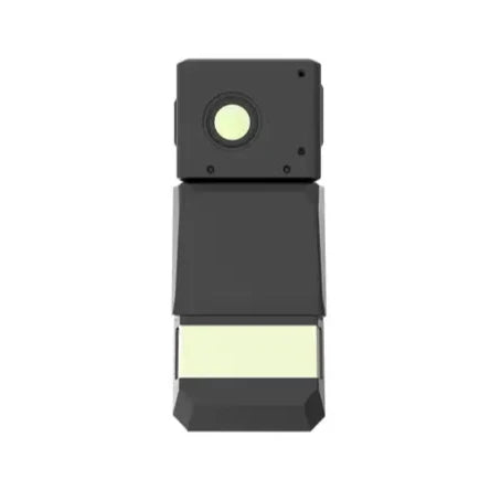
ACSL SOTEN RTK Module
Regular price $1,800.00Regular priceUnit price per -
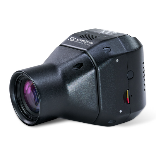
Sentera 6X Thermal Pro Sensor Kit for Inspired Flight IF800
Regular price $21,350.00Regular priceUnit price per -
GeoCue TrueView 1 Lite LiDAR Sensor
Regular price $20,890.00Regular priceUnit price per -
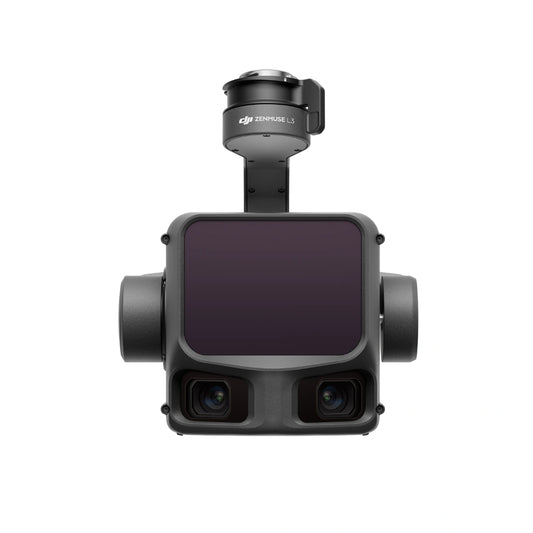
DJI Zenmuse L3: Survey-Grade LiDAR Sensor for Matrice 400
Regular price $17,400.00Regular priceUnit price per -
Autel Alpha DT60S+DH1E Loudspeaker & Spotlight
Regular price $1,397.00Regular priceUnit price per -
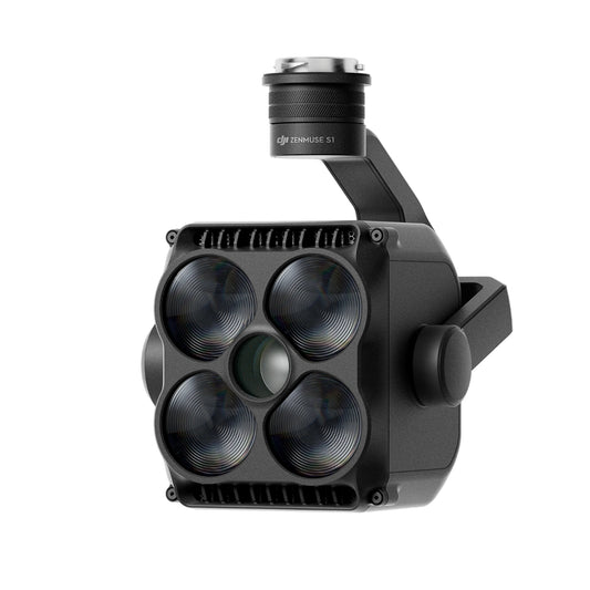
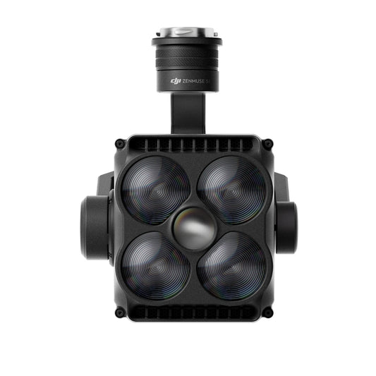
DJI Zenmuse S1 Spotlight
Regular price $1,699.00Regular priceUnit price per -
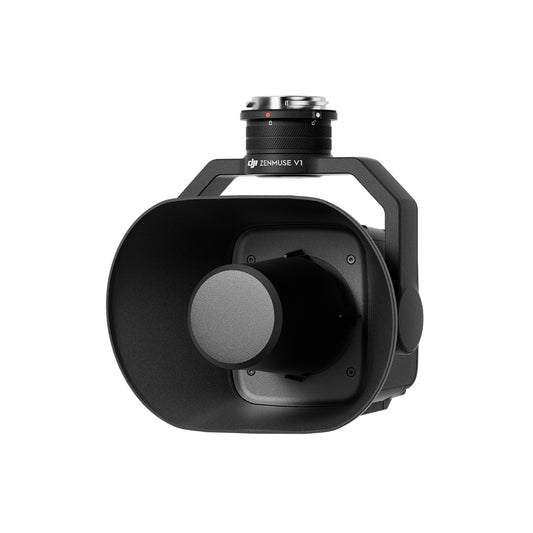
DJI Zenmuse V1 Speaker
Regular price $1,219.00Regular priceUnit price per -
ACSL SOTEN High Resolution Thermal Camera
Regular price $7,900.00Regular priceUnit price per -
 Sold out
ACSL SOTEN Standard Camera
Regular price $1,000.00Regular priceUnit price per -
ACSL SOTEN Optical Zoom Camera
Regular price $1,725.00Regular priceUnit price per -
ACSL SOTEN Multispectral Camera
Regular price $5,405.00Regular priceUnit price per -
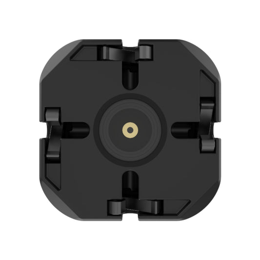
JZ Drones PTS4 Visual Drop Kit for M300/M350/M400
Regular price $1,199.00Regular priceUnit price per -
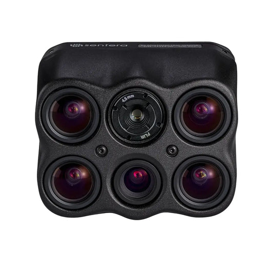
Sentera 65R Sensor Kit for Matrice 300 / Matrice 350 / Matrice 400 (27MM, Skyport V2)
Regular price $11,950.00Regular priceUnit price per -
Sentera 6X Thermal Sensor Kit for Matrice 300 / Matrice 350 / Matrice 400
Regular price $17,825.00Regular priceUnit price per -
Sentera 6X Thermal Pro Sensor Kit for Matrice 300 / Matrice 350 / Matrice 400
Regular price $21,350.00Regular priceUnit price per -
CZI TH4 V2 Drop System for M300/M350/M400
Regular price $1,150.00Regular priceUnit price per -
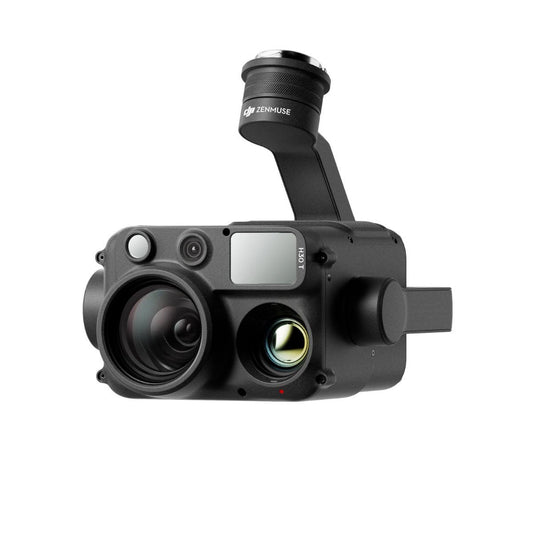
DJI Zenmuse H30T
Regular price $11,999.00Regular priceUnit price per -
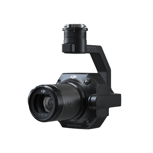
DJI Zenmuse P1
Regular price $7,499.00Regular priceUnit price per -
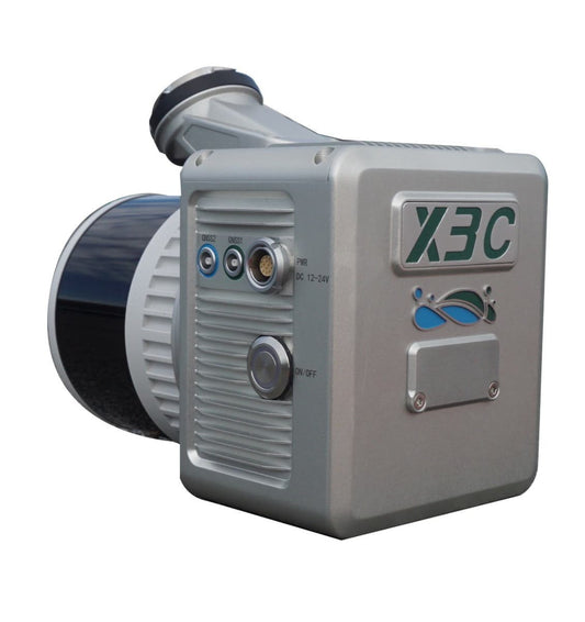
GreenValley LiAir X3-H Airborne Laser Scanning Unit
Regular price $11,290.00Regular priceUnit price per -
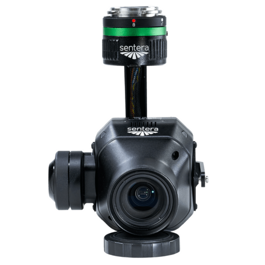
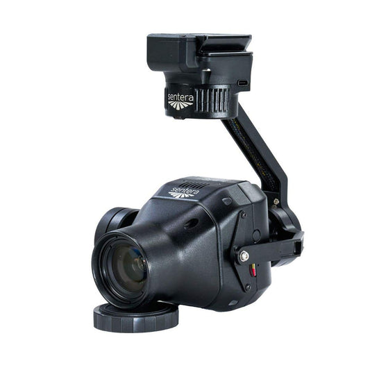
Inspired Flight Sentera 65R for IF800 & IF1200
Regular price $11,950.00Regular priceUnit price per -
Deepthink S3 Tri-Sensor Night Vision Thermal Imaging Camera for Matrice 350 / Matrice 400
Regular price $4,999.00Regular priceUnit price per$6,999.00Sale price $4,999.00Sale -
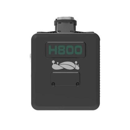
GreenValley LiAir H800 UAV LiDAR System
Regular price $67,000.00Regular priceUnit price per -
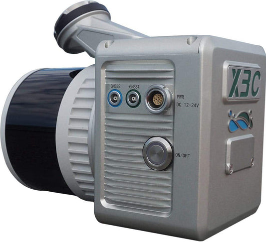
GreenValley LiAir X3C-H Compact UAV LiDAR System
Regular price $19,400.00Regular priceUnit price per -
JZ Drones PT4 Four Drop Kit for M350/M400
Regular price $999.00Regular priceUnit price per


11 Ways Drones Benefit Construction Surveys and Mapping
10 Applications of Drones in Construction Survey
Learn About the Technology of Construction Survey
The DSLRPros Advantage
-

UAV THERMAL EXPERTS
We are industry leaders in thermal imaging drones. As one of the pioneers in thermal drone technology, our team of experts will help you build a custom solution that meets both your budget and needs.
-

MISSION SPECIFIC SOLUTIONS
We specialize in the development and delivery of cost-effective mission-specific enterprise solutions. All our kits are specially designed, assembled, and individually tested for quality assurance in the United States.
-

AFTER PURCHASE SUPPORT
Our customer service doesn't just end with your purchase; we go the extra mile to make sure our customers have the guidance they need. As our customer, you will know us by name and can count on us for support whenever you need it.


