Agriculture and Farming Drones
Manual scouting and outdated tools waste time, fuel, and labor. Our agriculture drones give you the speed, precision, and clarity to manage fields efficiently and make confident decisions in real time.
Agriculture Kits and Bundles
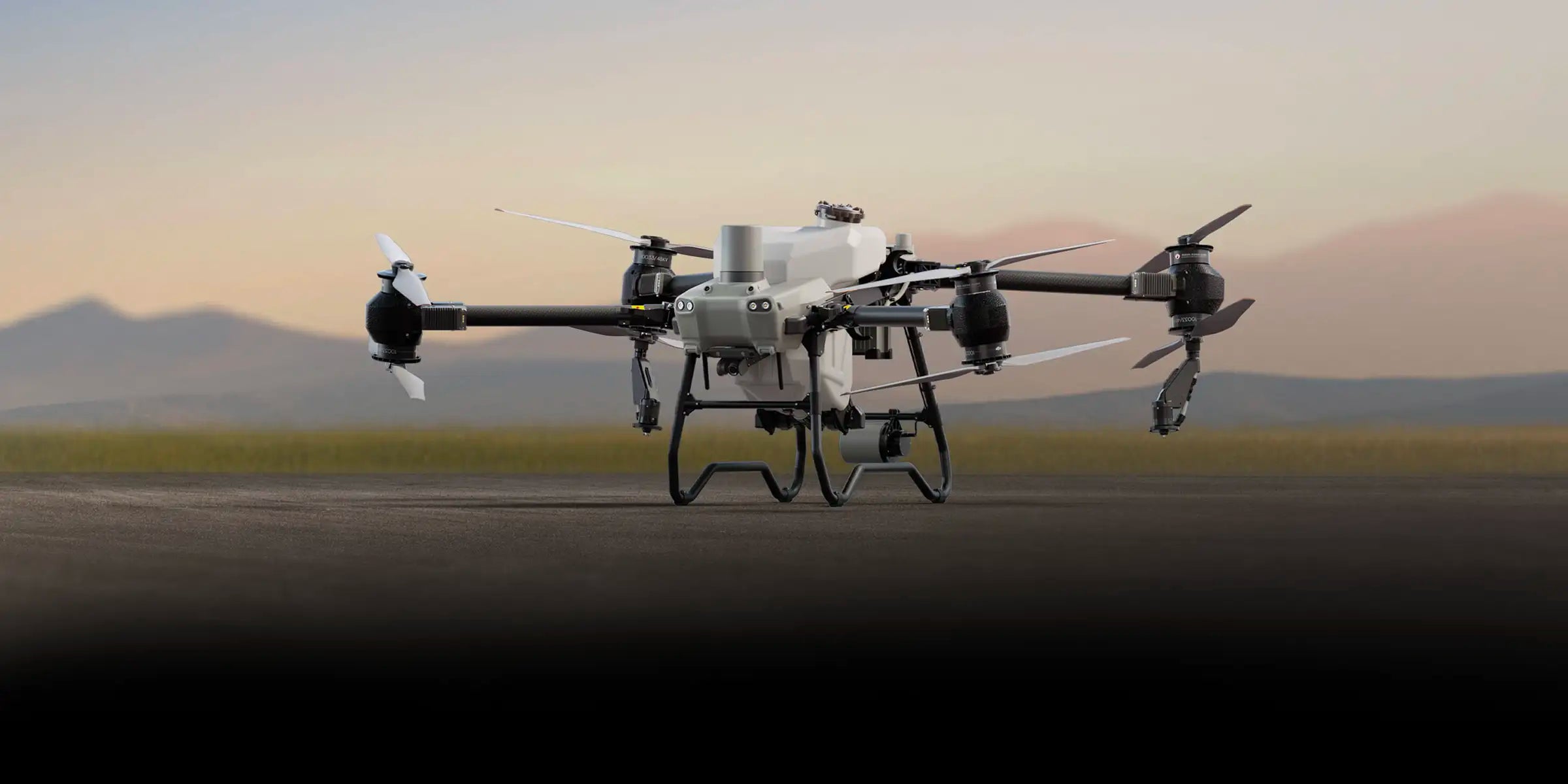
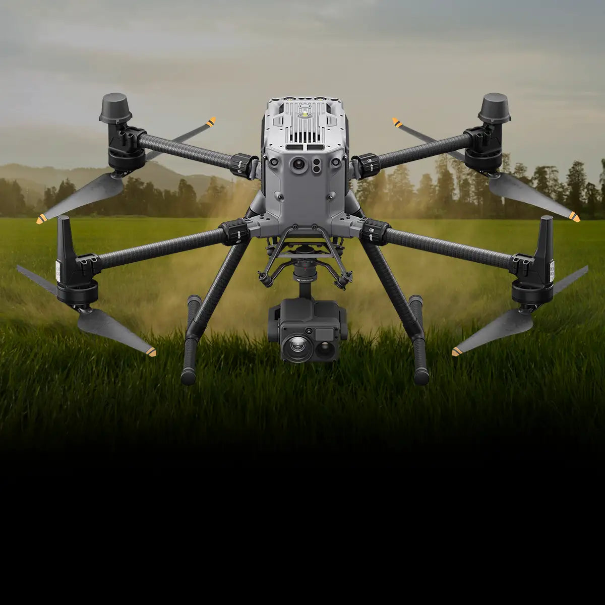
Purpose-built for the field. These all-in-one agriculture UAV drones combine rugged airframes, multispectral payloads, and mission-ready software to help farmers, agronomists, and surveyors capture insights faster and act with accuracy.
-
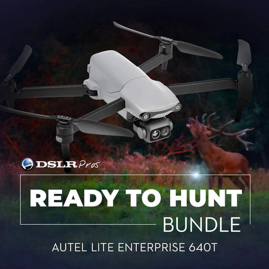
DSLRPros Ready to Hunt Bundle
Call for Price -
ACSL SOTEN Agriculture Package
Regular price $22,345.00Regular priceUnit price / per
Payloads for Precision Agriculture
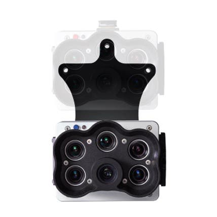
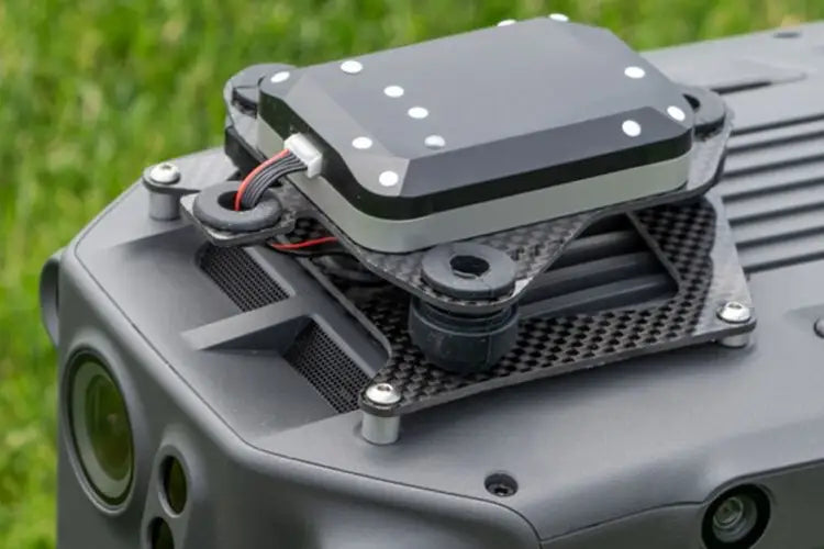
Payloads that do more than capture images. From multispectral agriculture drones to thermal cameras and spraying systems, these add-ons turn your drone into a complete agronomy tool. Ready to scout, map, and manage crops across any operation.
-
Micasense RedEdge-P Green Multispectral Kit
Regular price $8,495.00Regular priceUnit price / per -
Micasense RedEdge-P Multispectral Camera Kit with DJI Skyport M300 / M350
Regular price $10,290.00Regular priceUnit price / per -
ACSL SOTEN Multispectral Camera
Regular price $5,405.00Regular priceUnit price / per -
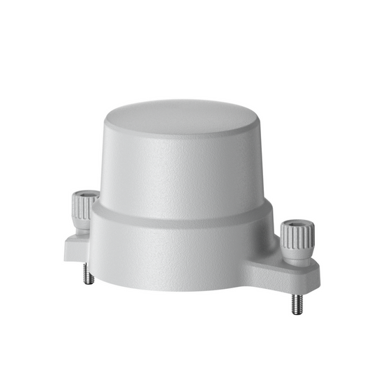
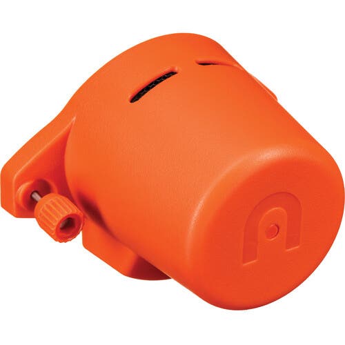
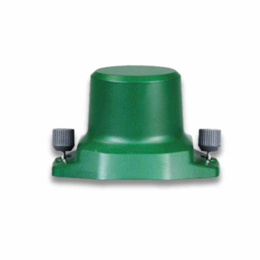
Autel EVO MAX RTK Module
Regular price $529.00Regular priceUnit price / per -
MicaSense Altum-PT
Regular price $15,495.00Regular priceUnit price / per -
MicaSense DJI M300/M350 SkyPort Kit for Altum-PT
Regular price $1,995.00Regular priceUnit price / per -
Autel EVO II Enterprise - RTK Module
Regular price $625.00Regular priceUnit price / per -
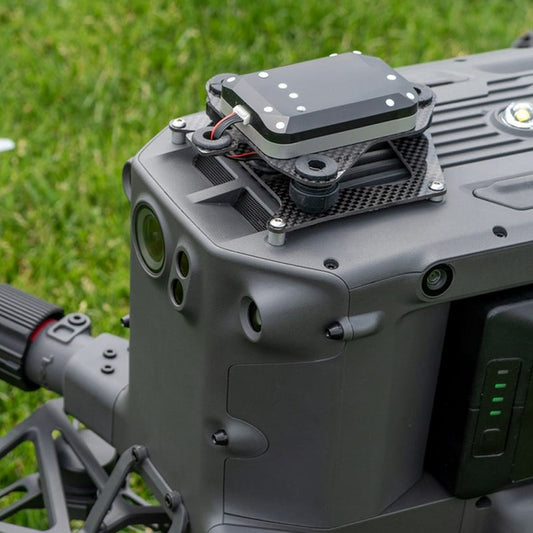
MicaSense DLS 2 Mount for DJI Matrice 350 RTK
Regular price $250.00Regular priceUnit price / per -
Anzu Raptor RTK Module
Regular price $845.00Regular priceUnit price / per -
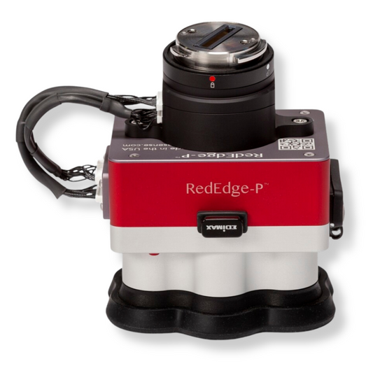
Micasense RedEdge-P
Regular price $8,395.00Regular priceUnit price / per -
Micasense RedEdge-P Blue Multispectral Kit
Regular price $8,495.00Regular priceUnit price / per -
Micasense RedEdge-P Dual Multispectral upgrade kit (for current users of RedEdge-P)
Regular price $8,495.00Regular priceUnit price / per
Irrigation and Water Management
Uneven irrigation leads to wasted water and stressed crops. Farmers often ask, “How are drones used in agriculture for irrigation?” The answer: drones provide a clear aerial view and data-driven insights to optimize water distribution.
-
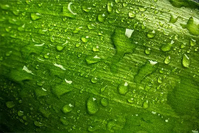
Moisture Level Detection
Thermal and multispectral agriculture drones identify over- or under-watered areas. Adjust irrigation schedules with precision instead of guesswork.
-
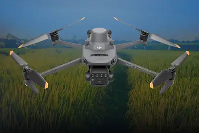
Efficient Resource Use
Pinpoint exactly where water is needed. Reduce waste, lower costs, and conserve resources while maintaining healthy crop growth.
-
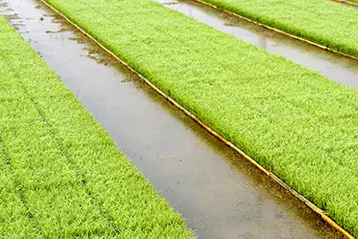
System Monitoring
Inspect pivots, drip lines, and irrigation equipment from above. Detect leaks or blockages early to prevent crop damage and lost water.
Livestock and Farm Asset Monitoring
Keeping track of livestock and equipment across large properties is time-consuming. Agriculture UAV drones provide fast aerial oversight, reducing labor while improving security and herd management.
-
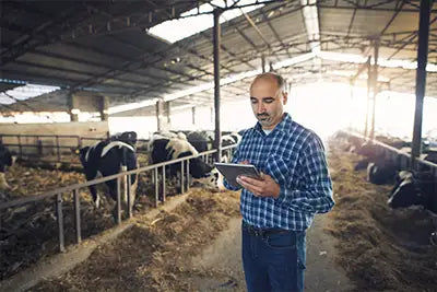
Herd Tracking and Counting
Use thermal and zoom payloads to locate, count, and monitor livestock across wide pastures. Detect missing or distressed animals quickly.
-
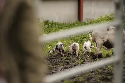
Health and Behavior Monitoring
Spot signs of illness or abnormal behavior early through aerial observation. Reduce risks and improve response times for veterinary care.
-
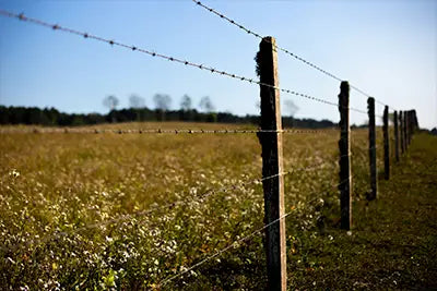
Asset and Perimeter Security
Monitor fences, gates, and equipment from above. Identify breaches or unauthorized activity without sending personnel across miles of terrain.
Crop Scouting and Mapping
Traditional scouting is slow and inconsistent. Agricultural drones give growers instant visibility across fields, spotting issues early and guiding smarter management decisions.
-
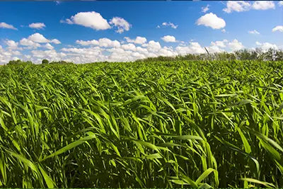
Early Stress Detection
Multispectral agriculture drones spot crop stress before it’s visible to the naked eye. Identify issues like water stress, nutrient deficiencies, or pest outbreaks early to prevent costly yield loss.
-
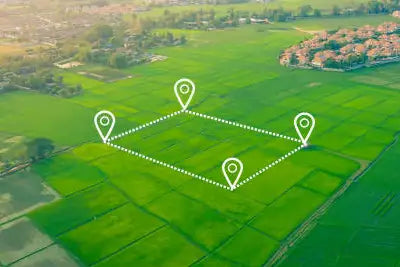
High-Resolution Crop Mapping
Generate detailed 2D and 3D field maps in minutes. Track growth stages, measure stand counts, and compare season-over-season performance with actionable insights.
-
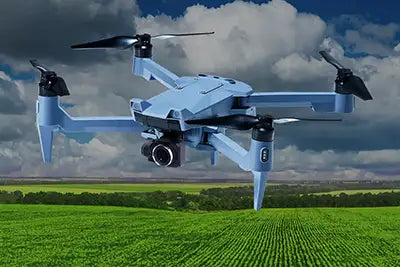
Efficient Coverage at Scale
Cover hundreds of acres per flight. Automated routes ensure consistent, repeatable scouting with less labor and no blind spots.
Crop Consulting and Data Insights
Relying on ground reports alone slows down decision-making. Multispectral agriculture drones capture precise field data, giving consultants and growers actionable insights to improve yield and resource efficiency.
-
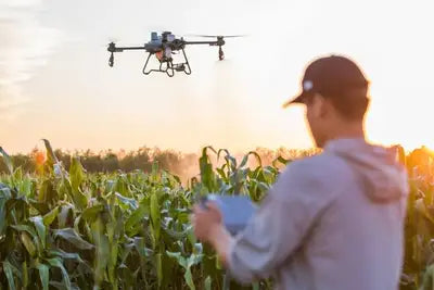
Actionable Agronomy Data
Multispectral and RGB payloads deliver accurate crop health indices (NDVI, NDRE). Turn raw data into clear recommendations for fertilizer, irrigation, and pest control.
-
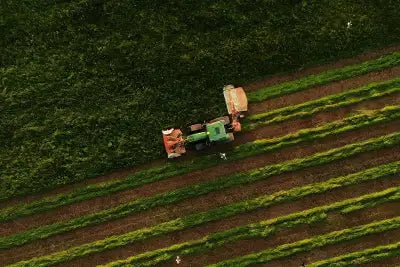
Faster Decision Cycles
Analyze real-time drone imagery to guide planting, treatment, and harvest schedules. Shorten the gap between scouting and action.
-
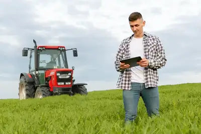
Season-over-Season Comparisons
Track performance trends across multiple seasons. Identify patterns, refine strategies, and document results for long-term farm planning.
10 Ways Agricultural Drones Transform Farming
Farmers are asking: what are drones used for in agriculture, and how do agricultural drones work? The answer is simple—agriculture UAV drones reduce costs, increase yields, and give growers real-time insights that ground methods can’t match.
-
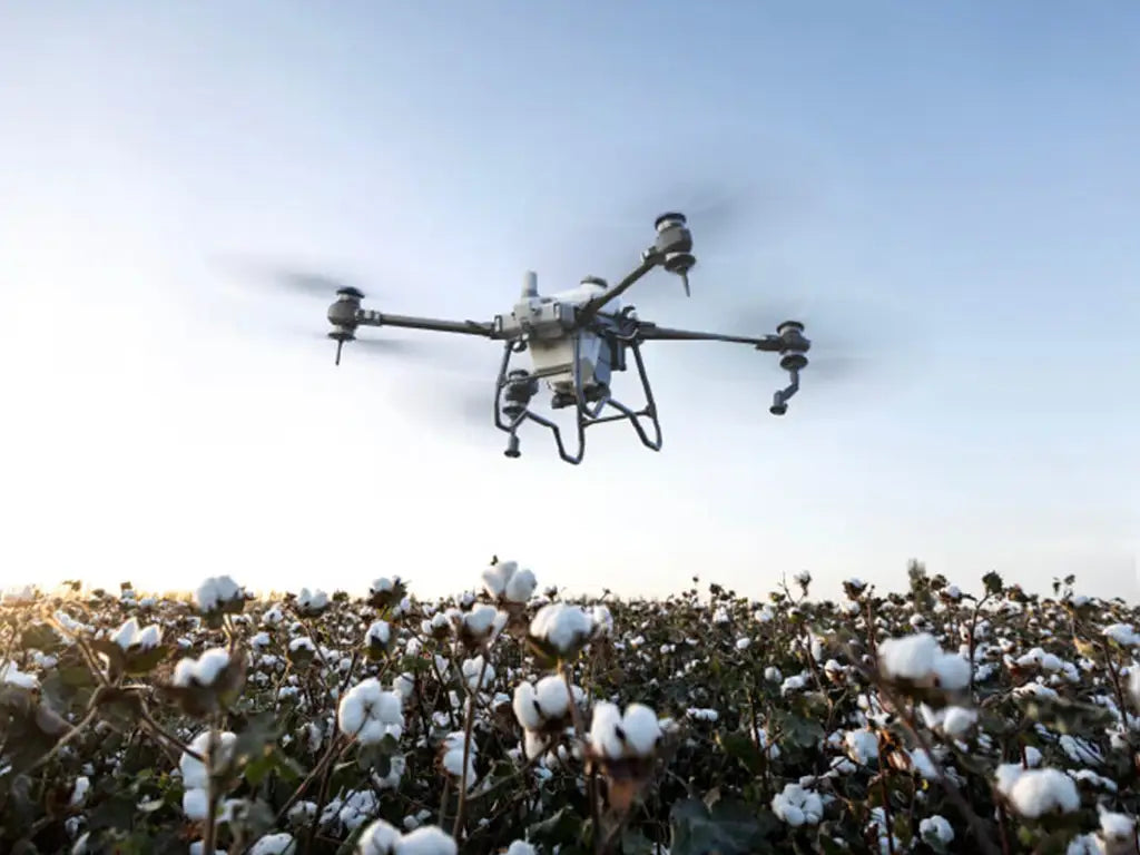
Faster Field Scouting
Deploy agricultural drones in minutes to capture aerial views of entire fields. Identify issues before they spread and cut scouting time drastically.
-
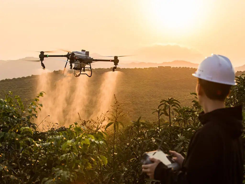
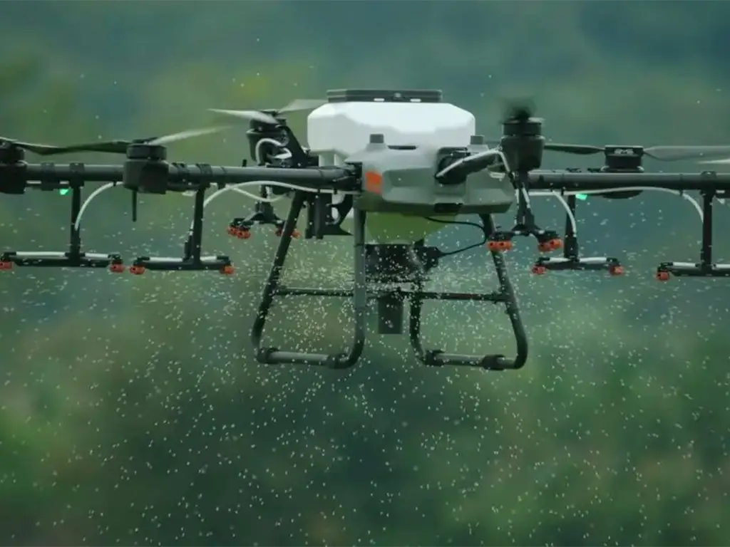
Precision Agriculture Spraying
Use agriculture drone spraying systems for accurate, targeted application of fertilizers and pesticides. Minimize waste while improving crop coverage.
-
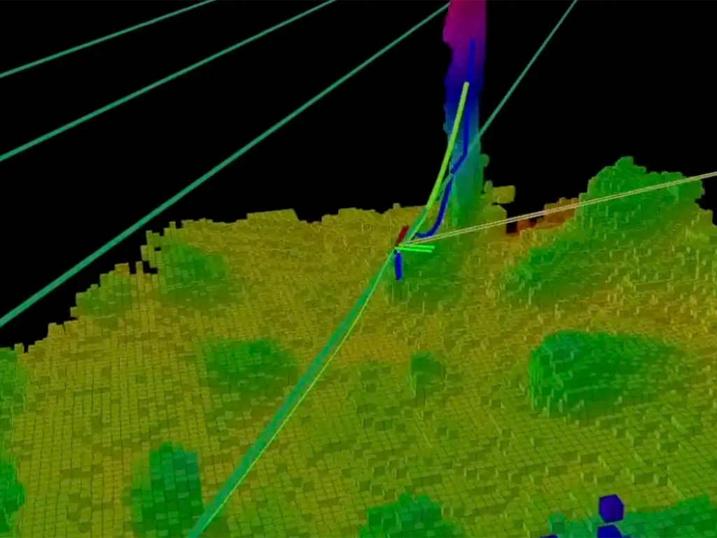
Multispectral Crop Analysis
With multispectral agriculture drones, detect crop stress invisible to the naked eye. Monitor plant health, water stress, and nutrient deficiencies early.
-
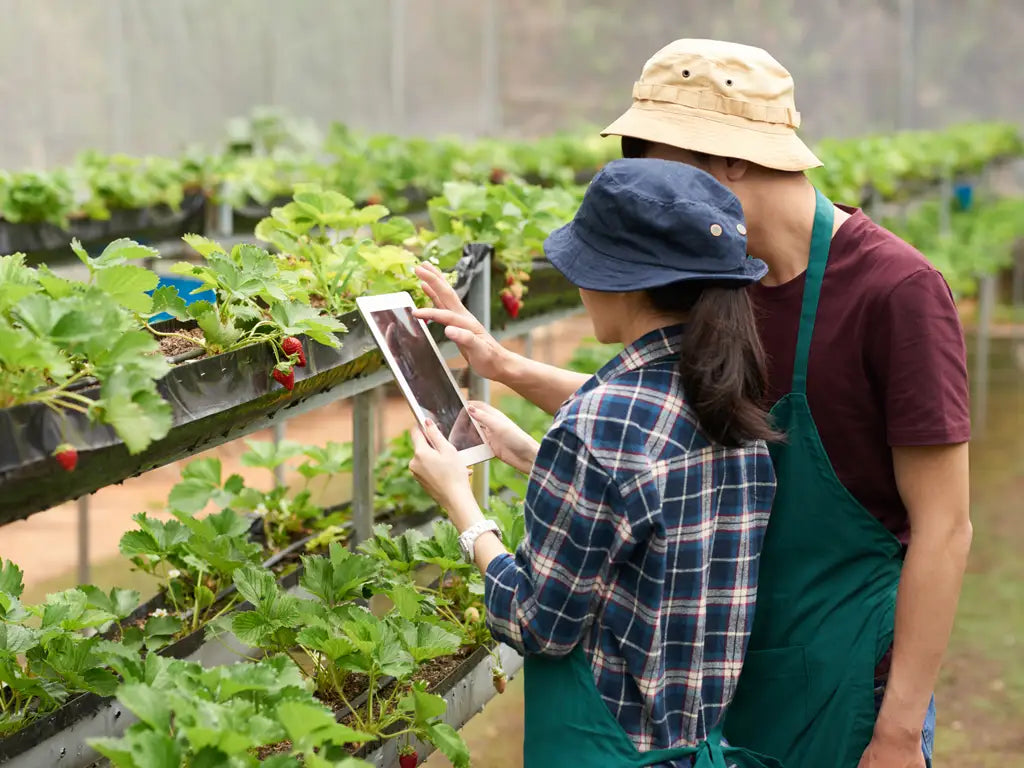
Real-Time Decision Support
Get live aerial feeds to support quick adjustments in irrigation, spraying, and harvesting. Replace guesswork with data-driven choices.
-
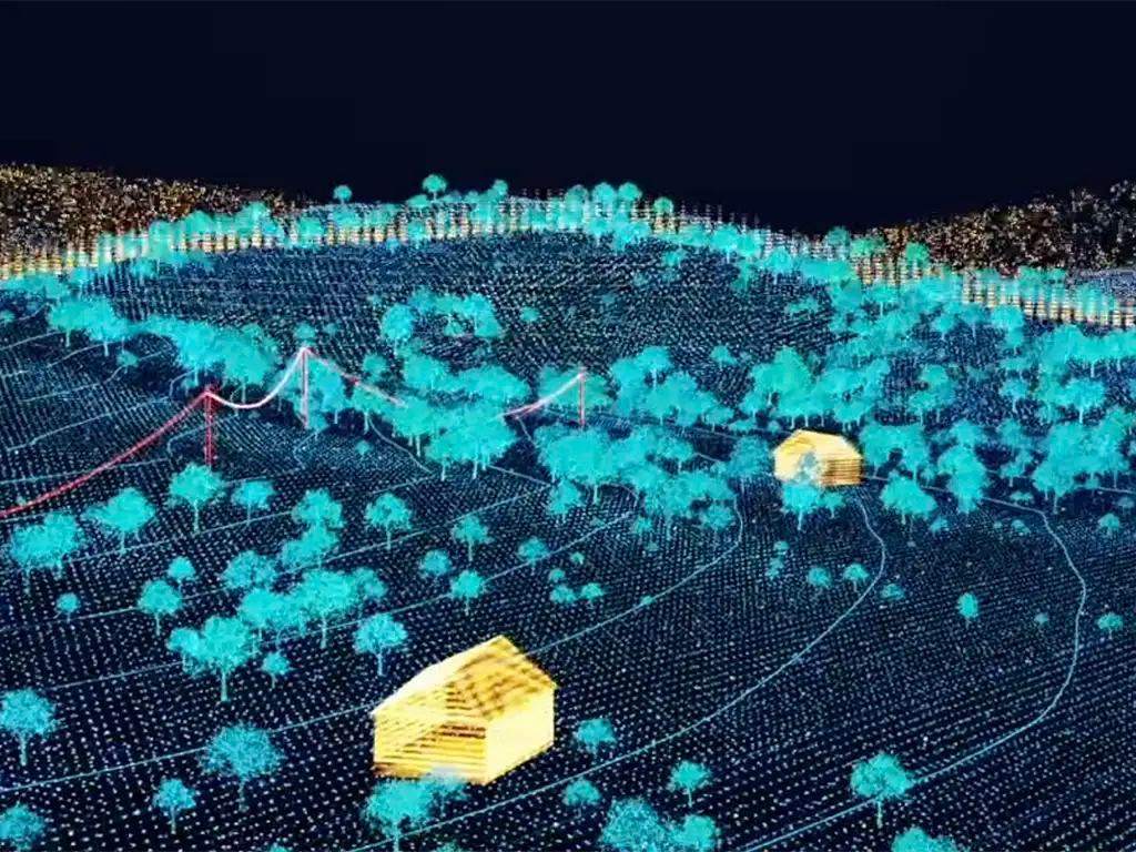
Accurate Crop Mapping
Create 2D and 3D maps for growth analysis, stand counts, and yield prediction. Document season-over-season progress with digital precision.
-
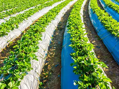
Efficient Irrigation Management
Spot over- and under-watered areas instantly. Drones streamline water use by showing exactly how agricultural drones work to optimize irrigation.
-
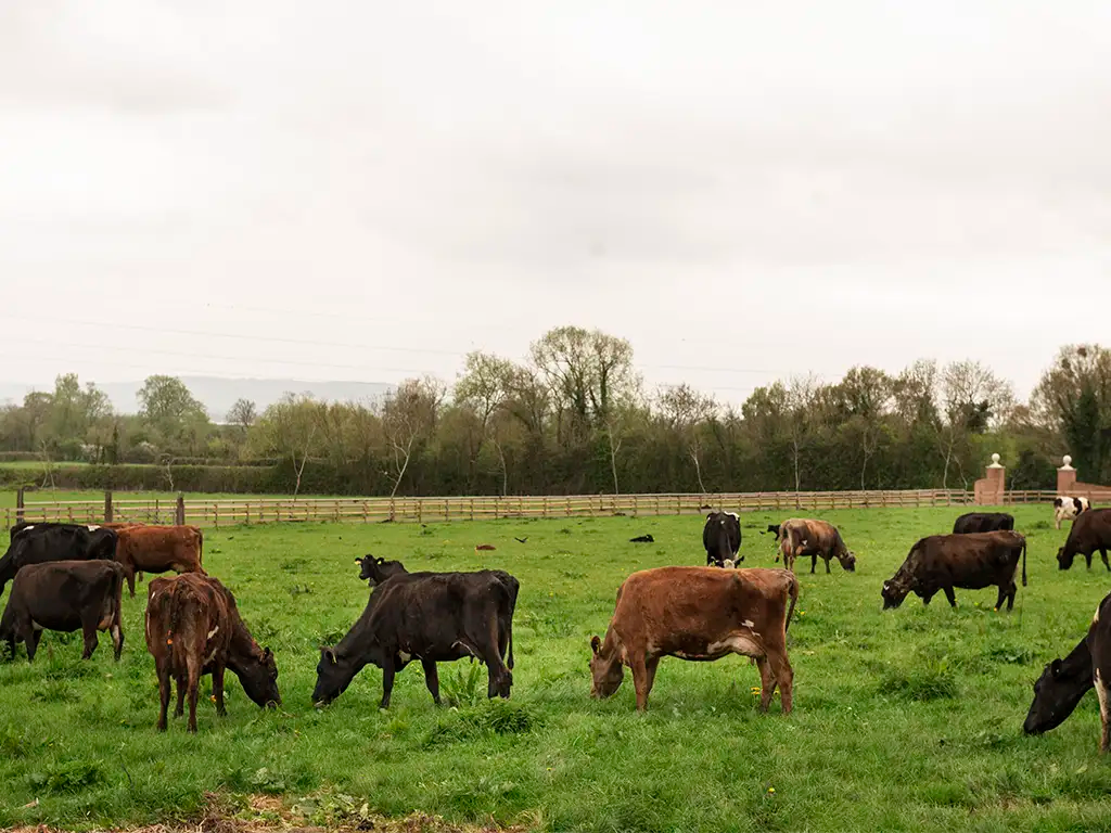
Livestock Monitoring
Track herds from above and detect health issues or missing animals quickly. Save hours of manual labor with UAV oversight.
-

Reduced Input Costs
Apply only what’s needed, where it’s needed. Cut fuel, labor, and chemical expenses with targeted drone applications.
-
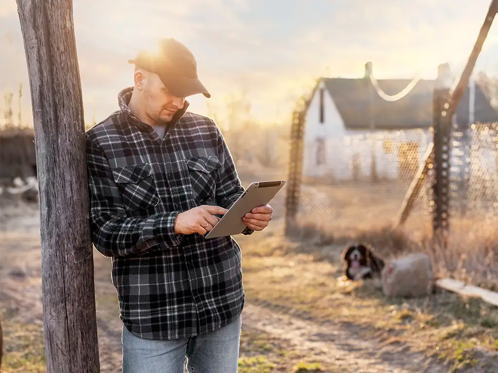
Improved Farm Safety
Keep workers out of hazardous conditions like flooded fields or chemical exposure zones. Drones handle the risk while delivering results.
-
Fleet Management at Scale
Modern farms rely on agriculture drone fleet management tools to coordinate multiple UAVs. Scale operations while keeping data organized and actionable.
How Are Drones Used in Agriculture?
The question isn’t how do agricultural drones work; it’s how much time, money, and yield they save compared to traditional methods.
From planting to harvest, agriculture UAV drones have become essential tools for modern farming.
Farmers use agricultural drones to scout fields quickly and identify issues before they spread. UAVs equipped with multispectral sensors capture crop health indices like NDVI, helping growers fine-tune fertilizer and irrigation decisions with precision.
Whether you’re asking what are drones used for in agriculture or looking to improve efficiency, the answer is clear: UAVs turn raw aerial data into actionable insights that drive higher yields and lower costs.
-

Precision Spraying
Drones deliver even coverage, cutting chemical waste and reducing manual labor in spraying operations.
-

Smart Irrigation
Monitor watering patterns, pivots, and drip lines to prevent waste and ensure healthy crop growth.
-

Livestock & Scaling
Track herds, detect health issues early, and manage large farms efficiently with drone fleet software.
Frequently Asked Questions
What are drones used for in agriculture?
Agricultural drones are used for crop scouting, spraying, irrigation management, livestock monitoring, and yield forecasting. They give farmers real-time aerial data to improve decision-making and reduce costs.
How do agricultural drones work?
Agricultural drones use advanced cameras, multispectral sensors, and sometimes spraying systems to collect field data or apply inputs. Flights are often automated, ensuring consistent coverage and accurate results across large areas.
What is the benefit of using agricultural drone spraying?
Agriculture drone spraying provides targeted, uniform coverage of fertilizers, herbicides, and pesticides. This reduces chemical waste, lowers labor requirements, and minimizes environmental impact compared to ground-based methods.
Are multispectral agriculture drones worth the investment?
Yes. Multispectral payloads detect crop stress from pests, water issues, or nutrient deficiencies before they are visible to the eye. This early insight allows farmers to take corrective action quickly, protecting yields.
How does agriculture drone fleet management help large farms?
Fleet management software helps coordinate multiple UAVs, centralize field data, and track drone performance across thousands of acres. This makes it easier to scale precision agriculture practices without adding significant labor.
The DSLRPros Advantage
-

UAV THERMAL EXPERTS
We are industry leaders in thermal imaging drones. As one of the pioneers in thermal drone technology, our team of experts will help you build a custom solution that meets both your budget and needs.
-

MISSION SPECIFIC SOLUTIONS
We specialize in the development and delivery of cost-effective mission-specific enterprise solutions. All our kits are specially designed, assembled, and individually tested for quality assurance in the United States.
-

AFTER PURCHASE SUPPORT
Our customer service doesn't just end with your purchase; we go the extra mile to make sure our customers have the guidance they need. As our customer, you will know us by name and can count on us for support whenever you need it.


