


Speak With An Experienced Crop Inspection Drone Expert
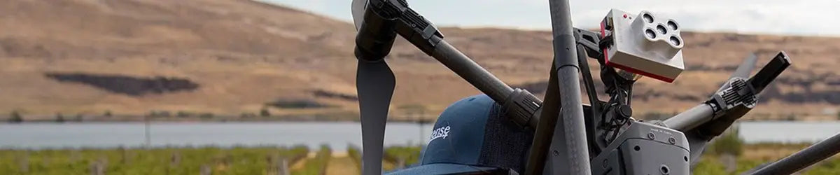
Crop monitoring drones are specialized UAVs designed to give farmers a clearer view of what’s really happening across their fields—without setting foot on the soil. Equipped with multispectral cameras, RTK positioning, and advanced data tools, these drones deliver insights on crop health, growth stages, irrigation patterns, and potential threats like pests or disease. Whether you're managing a vineyard, a soybean field, or acres of row crops, these drones help you scout smarter, react faster, and make data-driven decisions that improve yield and reduce waste. DSLRPros offers tailored drone packages built for agriculture. Our ready-to-fly kits include everything you need for immediate results, from precision mapping to real-time crop stress detection. Explore our offerings and see how the right drone can elevate your farm strategies. Talk to a drone expert today and find the perfect fit for your crops, your land, and your goals.
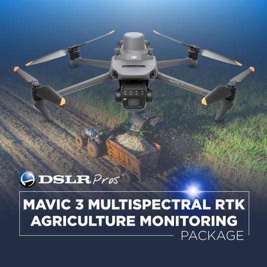
Crop Inspection Drones and Bundles
-
DSLRPros Ready to Hunt Bundle
Call for Price -
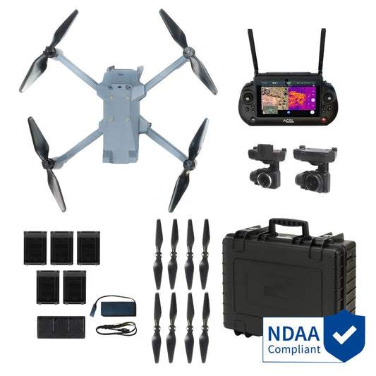
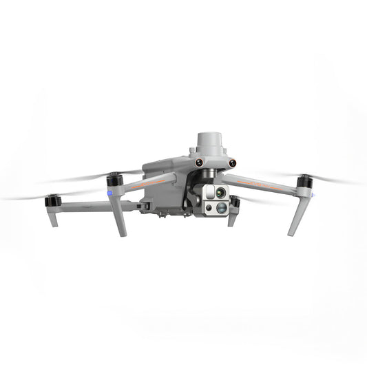
ACSL SOTEN Agriculture Package
Regular price $22,345.00Regular priceUnit price per


Payloads for Crop Inspection Drones
-
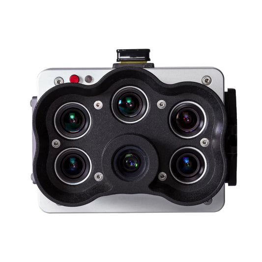
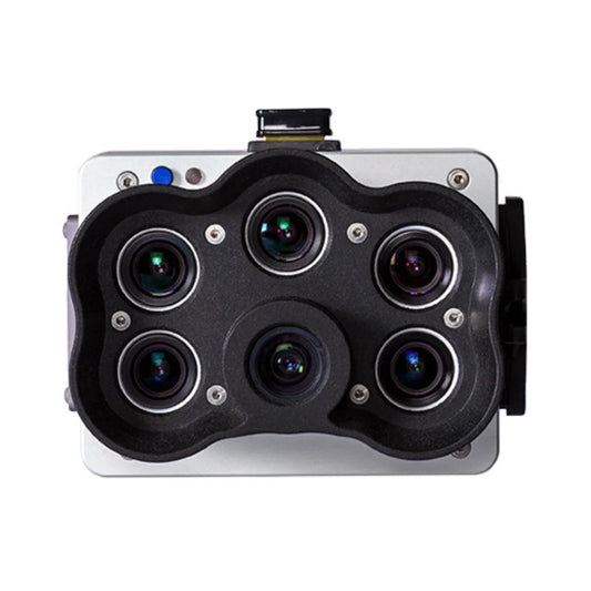
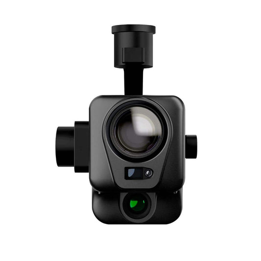
Sentera 6X Thermal Pro Sensor Kit for Inspired Flight IF800
Regular price $21,350.00Regular priceUnit price per -
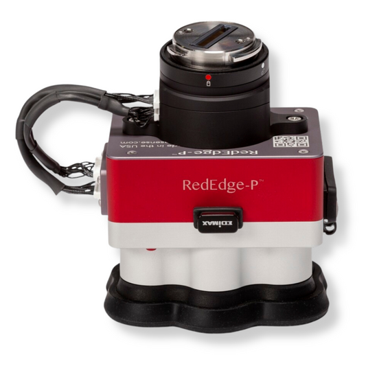
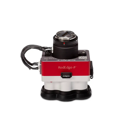
MicaSense RedEdge-P Green Multispectral Kit
Regular price $8,995.00Regular priceUnit price per -
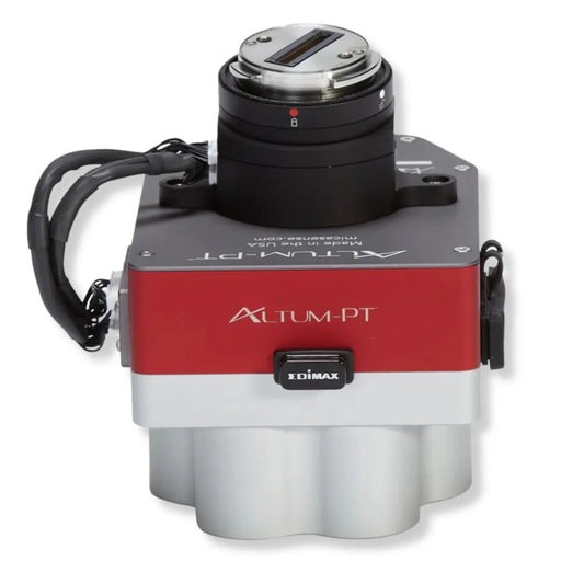
Inspired Flight MicaSense Altum-PT and Integration Kit Bundle
Regular price $16,490.00Regular priceUnit price per -
MicaSense RedEdge-P Multispectral Camera Kit with DJI Skyport M300 / M350
Regular price $10,290.00Regular priceUnit price per -
MicaSense Altum-PT with DJI M300/M350 SkyPort Kit
Regular price $17,944.00Regular priceUnit price per -
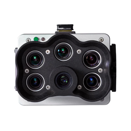
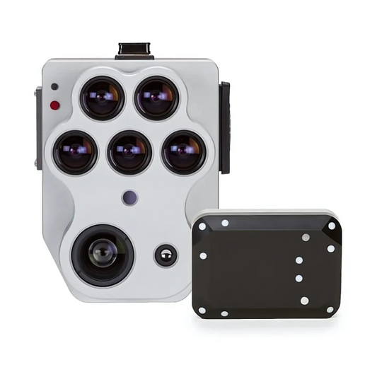
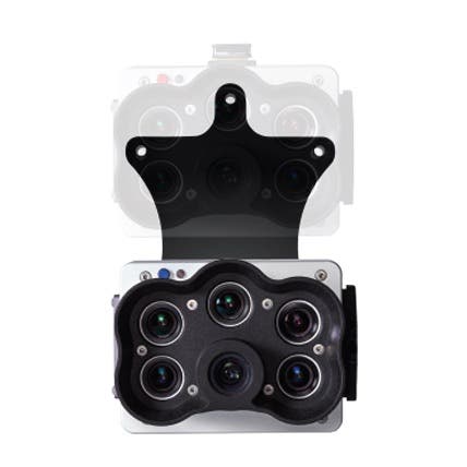
ACSL SOTEN Multispectral Camera
Regular price $5,405.00Regular priceUnit price per -
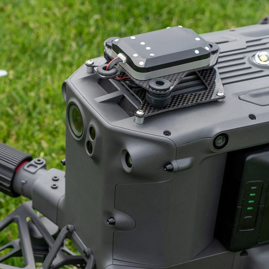
Autel EVO MAX RTK Module
Regular price $527.00Regular priceUnit price per -
MicaSense Altum-PT
Regular price $15,495.00Regular priceUnit price per -
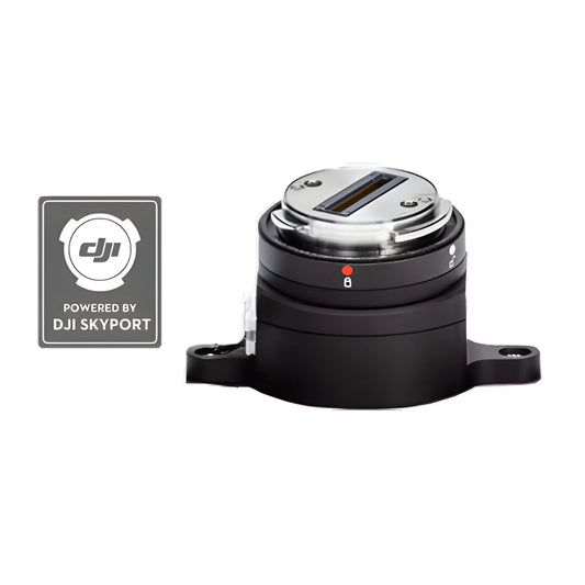
MicaSense DJI M300/M350 SkyPort Kit for Altum-PT
Regular price $1,949.00Regular priceUnit price per -
Autel EVO II Enterprise RTK Module
Regular price $625.00Regular priceUnit price per -
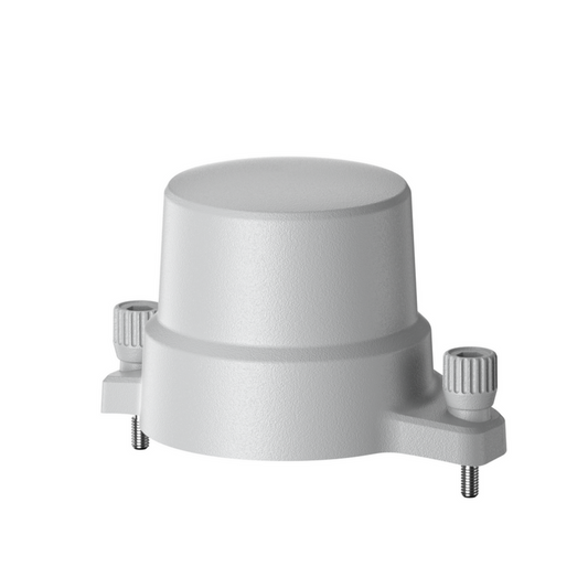
MicaSense DLS 2 Mount for DJI Matrice 350 RTK
Regular price $250.00Regular priceUnit price per -
Anzu Raptor RTK Module
Regular price $729.00Regular priceUnit price per$849.00Sale price $729.00Sale -
MicaSense RedEdge-P
Regular price $8,395.00Regular priceUnit price per -
MicaSense RedEdge-P Blue Multispectral Kit
Regular price $8,495.00Regular priceUnit price per -
MicaSense RedEdge-P Dual Multispectral upgrade kit (for current users of RedEdge-P)
Regular price $8,449.00Regular priceUnit price per -
DJI Agras T50 Spreading System
Regular price $2,499.00Regular priceUnit price per -
MicaSense DJI M300/M350 SkyPort Kit for RedEdge-P
Regular price $1,895.00Regular priceUnit price per$1,995.00Sale price $1,895.00Sale -
Deepthink S3 Tri-Sensor Night Vision Thermal Imaging Camera for Matrice 350 / Matrice 400
Regular price $4,999.00Regular priceUnit price per$6,999.00Sale price $4,999.00Sale


10 Applications of Drones in Crop Inspection
6 Ways Drones Can Benefit Farmers
Learn About The Products and Technology
The DSLRPros Advantage
-

UAV THERMAL EXPERTS
We are industry leaders in thermal imaging drones. As one of the pioneers in thermal drone technology, our team of experts will help you build a custom solution that meets both your budget and needs.
-

MISSION SPECIFIC SOLUTIONS
We specialize in the development and delivery of cost-effective mission-specific enterprise solutions. All our kits are specially designed, assembled, and individually tested for quality assurance in the United States.
-

AFTER PURCHASE SUPPORT
Our customer service doesn't just end with your purchase; we go the extra mile to make sure our customers have the guidance they need. As our customer, you will know us by name and can count on us for support whenever you need it.


