


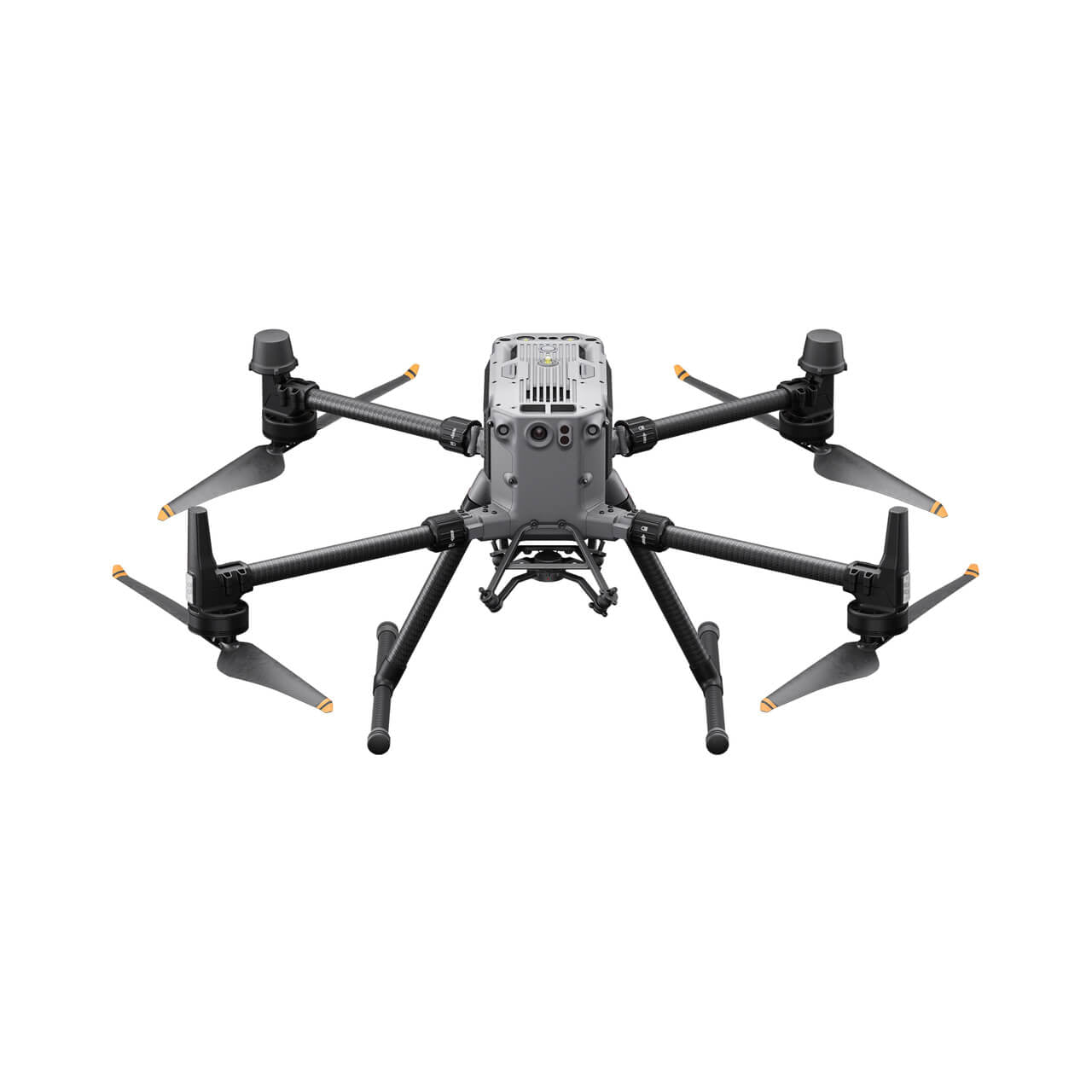


Elevate Your Missions with the DJI Matrice 350 RTK
The DJI Matrice 350 RTK sets a new benchmark for flagship drone platforms, offering cutting-edge advancements in design and performance. Equipped with a redesigned video transmission system, enhanced control interface, efficient battery system, and a host of safety features, this next-generation drone redefines operational standards. Its robust payload capacity and expansion capabilities make it an ideal choice for various industrial applications, empowering users to achieve unparalleled results in their missions.
Exceptional Flight Capabilities
Built with durability and performance in mind, the Matrice 350 RTK is engineered to handle the toughest tasks with ease. Key flight features include:
- Payload Capacity: Carries up to 2.7 kg.
- Extended Flight Time: Maximum flight duration of 55 minutes.
- High Altitude Performance: Operates at elevations up to 7,000 meters.
Designed for remarkable flight performance, the Matrice 350 RTK enables users to overcome diverse challenges effortlessly.
O3 Enterprise Transmission System
The drone features the advanced DJI O3 Enterprise Transmission system, delivering triple-channel 1080p HD live feeds and a maximum transmission range of 20 km.
Equipped with a four-antenna transceiver system, both the aircraft and controller intelligently select the optimal antennas for transmission while receiving signals through all four antennas. This system significantly enhances anti-interference capabilities and ensures stable, reliable performance.
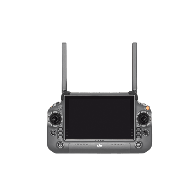
DJI RC Plus: Intuitive Control for Seamless Operations
The DJI RC Plus remote controller is equipped with a high-brightness 7-inch screen and supports Dual Operator Mode for collaborative missions. With the standard WB37 external battery, the RC Plus offers up to 6 hours of operational time, ensuring uninterrupted control during demanding tasks.
Rugged and Weather-Resistant Design
Certified with an IP54 rating, the DJI RC Plus is both dustproof and waterproof, ensuring reliable performance in challenging environments. Its wide operating temperature range of -20° to 50°C (-4° to 122°F) guarantees dependable functionality in extreme weather conditions.
Customizable Controls for Efficiency
Strategically placed buttons and dials on the front, back, and top of the remote allow users to customize functions according to their preferences, enabling an intuitive and flexible control experience.
Enhanced Functionality with DJI Pilot 2
The optimized DJI Pilot 2 application provides a streamlined interface, offering clear visibility of mission types and flight status. This user-friendly design simplifies aircraft and payload control, enabling operators to complete missions with greater efficiency.
Advanced Power System
Featuring the TB65 dual-battery system, the Matrice 350 RTK introduces innovative hot-swapping capabilities, allowing continuous operation without powering off the drone.
These batteries are rechargeable for up to 400 cycles, significantly reducing operating costs and enhancing mission productivity.
Comprehensive Safety Features
Arm Lock Indicator
The arm lock detection feature ensures that arm sleeves are securely locked, reducing risks and enhancing operational safety.
Night-Vision FPV Camera
The integrated night-vision FPV camera provides clear visibility during nighttime flights, enabling confident navigation with the PinPoint function for improved accuracy.
Six-Directional Sensing and Positioning
The drone's six-directional binocular vision and infrared sensing systems provide comprehensive obstacle detection and positioning, ensuring a high level of protection during missions.
CSM Radar
With a detection range of up to 30 meters, the CSM Radar identifies subtle obstacles in a 360° horizontal range, enabling timely avoidance maneuvers for safer operations.
Redundant Systems
The aircraft and sensor systems incorporate redundancy designs to maximize reliability and safety, ensuring stable performance even in challenging environments.
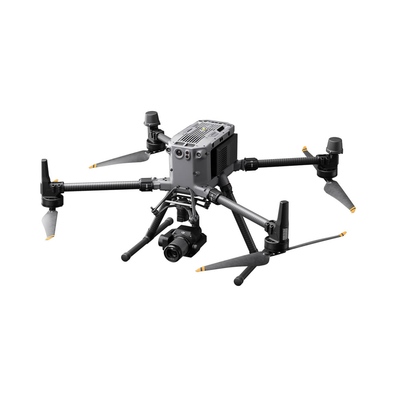
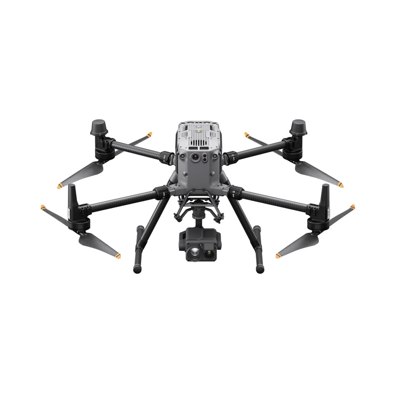
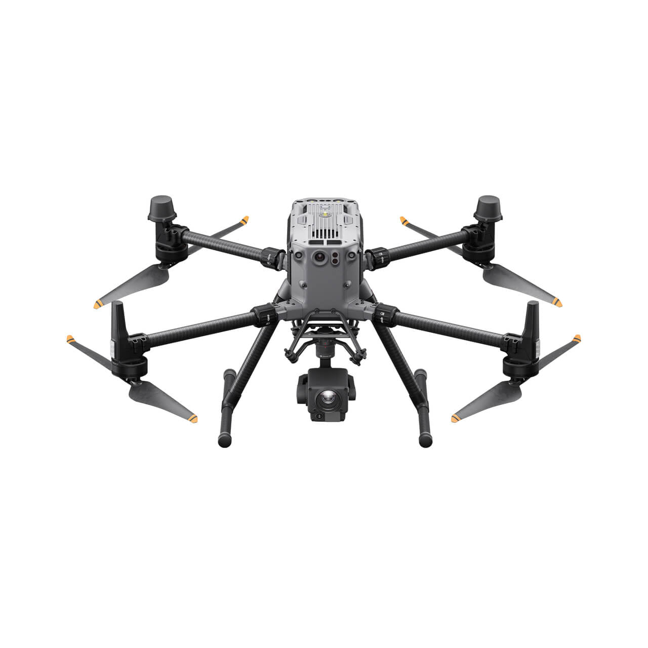
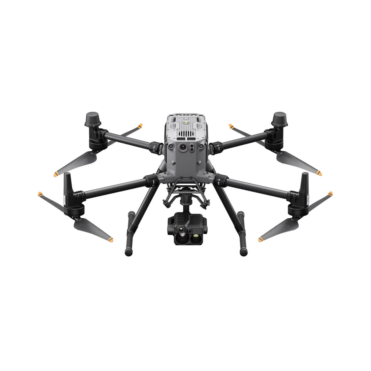
Versatile Payload Options
The DJI Matrice 350 RTK supports multiple payload configurations, including single downward gimbal, dual downward gimbals, and a single upward gimbal. The E-Port open interface allows easy integration of additional devices, expanding the drone's versatility.
-
-
Advanced multi-sensor payload with a 40 MP zoom camera, 48 MP wide camera, 640×512 thermal camera, and a 3 km laser rangefinder. Ideal for public safety, inspections, and search and rescue.
-
-
-
Full-frame photogrammetry camera for high-precision mapping and surveying. Features a 45 MP sensor and interchangeable lenses.
-
-
-
Compatible with third-party sensors (e.g., multispectral, hyperspectral, gas detectors) via the SkyPort or X-Port adapter systems.
-
With a maximum payload capacity of 2.7 kg and support for up to three simultaneous payloads, the Matrice 350 RTK is ideal for applications in public safety, inspections, and mapping.
Smart and Efficient Operations
High-Precision Mapping
The drone supports mission types such as Waypoint, Mapping, Oblique, and Linear Flights, with features like Terrain Follow and Smart Oblique for efficient data collection. Combined with DJI Terra, it enables rapid generation of high-resolution 2D and 3D maps for precise results.
Air-to-Ground Collaboration
The highly accurate PinPoint function and cloud-based real-time mapping streamline collaboration between aerial and ground teams. DJI FlightHub 2 facilitates live streaming, drawing commands, and seamless coordination to ensure mission success.
Automated Inspections
With Live Mission Recording, the Matrice 350 RTK stores flight route files for automated operations, saving time on repetitive inspections. The AI Spot-Check feature improves accuracy by enabling precise subject adjustments for consistent results.
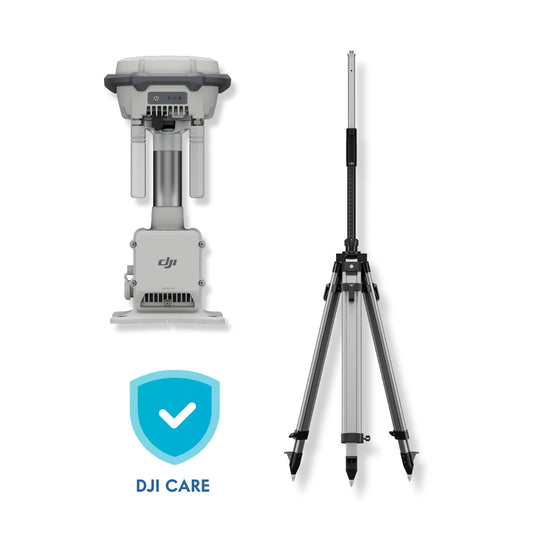
Comprehensive Care for the Matrice 350 RTK
Included in the package is your choice of DJI Care Enterprise, offering extensive protection such as unlimited repairs and replacements, coverage for accidental damage, and free two-way shipping.
With a Care Enterprise plan, users can streamline workflows and minimize risks while enjoying comprehensive fleet coverage under a single account.
Where the Matrice 350 RTK Excels
From emergency response to precision mapping, the DJI Matrice 350 RTK is purpose-built to thrive in demanding, real-world scenarios. Its versatility, high payload capacity, and advanced sensor compatibility make it a valuable tool across numerous sectors.
-
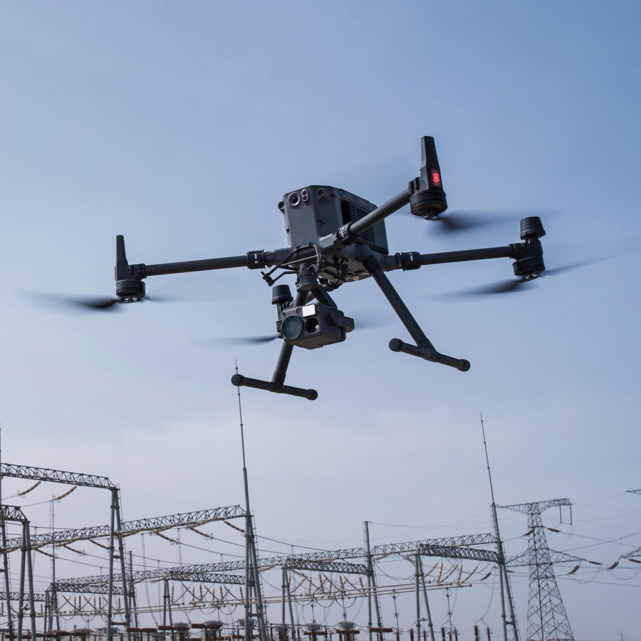
Public Safety and Emergency Response
With rapid deployment, night-vision capabilities, and thermal imaging options, the Matrice 350 RTK supports law enforcement, firefighting, and disaster management teams in locating victims, assessing hazards, and coordinating rescue efforts.
-
Infrastructure and Asset Inspection
The platform's long flight time and ability to carry multiple payloads enable high-resolution inspections of power lines, bridges, pipelines, and wind turbines-minimizing downtime and keeping personnel out of harm's way.
-
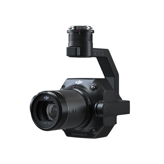
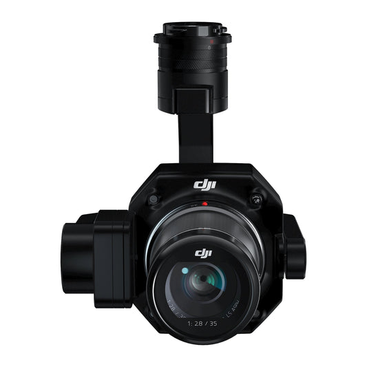
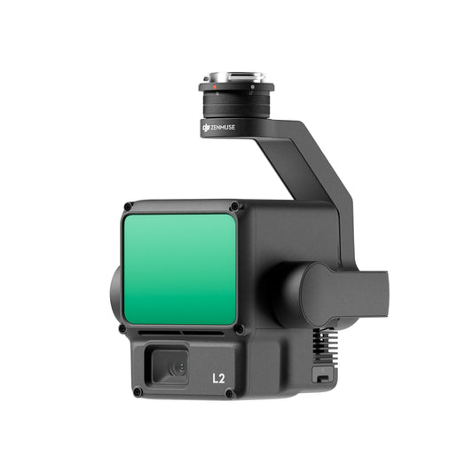
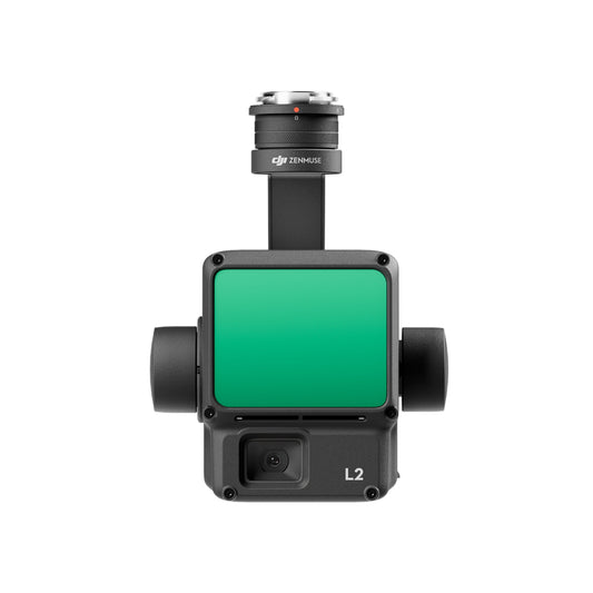
Surveying and Mapping
Equipped with the Zenmuse P1 or L2 payloads, the drone delivers centimeter-level accuracy for topographic surveys, 3D mapping, and construction progress monitoring, even in challenging environments.
-
Environmental and Agricultural Monitoring
With multispectral or LiDAR payloads, operators can monitor vegetation health, track wildlife, assess land use changes, and map forested areas with precision and efficiency.
-
Industrial and Utility Operations
Energy companies and industrial operators can leverage the Matrice 350 RTK for routine maintenance checks, leak detection, and remote site assessments-cutting costs and improving safety.
The DJI Matrice 350 RTK isn't just a drone-it's a multi-role aerial workhorse. Its blend of rugged design, advanced flight systems, and payload flexibility allows it to adapt to an ever-expanding list of professional applications, ensuring organizations can tackle complex missions with confidence and efficiency.
Why Choose DSLRPros?
DSLRPros delivers customized drone solutions engineered for diverse applications.
- Customized Offerings: Purpose-built tools for your industry.
- Proven Expertise: Tailored approaches to solve complex challenges.
- Superior Drones: Advanced performance from trusted brands like DJI.
- Secure Platforms: Compliance-focused tools for data integrity.
- Ongoing Support: Training programs to ensure you succeed.
Our solutions help you soar to new levels of operational excellence.
Specifications
Aircraft
- Dimensions (unfolded, without propellers): 810×670×430 mm (L×W×H)
- Dimensions (folded, with propellers): 430×420×430 mm (L×W×H)
- Diagonal Wheelbase: 895 mm
-
Weight (with single downward gimbal):
- Without batteries: Approx. 3.77 kg
- With two TB65 batteries: Approx. 6.47 kg
- Single Gimbal Damper's Max Payload: 960 g
- Max Takeoff Weight: 9.2 kg
-
Operating Frequency:
- 2.4000-2.4835 GHz
- 5.150-5.250 GHz (CE: 5.170-5.250 GHz)
- 5.725-5.850 GHz
- Note: 5.1GHz and 5.8GHz frequency bands are prohibited in some countries/regions.
-
Transmitter Power (EIRP):
- 2.4000-2.4835 GHz:
- < 33 dBm (FCC)
- < 20 dBm (CE/SRRC/MIC)
- 5.150-5.250 GHz (CE: 5.170-5.250 GHz): < 23 dBm (CE)
- 5.725-5.850 GHz:
- < 33 dBm (FCC/SRRC)
- < 14 dBm (CE)
- 2.4000-2.4835 GHz:
-
Hovering Accuracy (with moderate or no wind):
- Vertical:
- ±0.1 m (with vision positioning)
- ±0.5 m (with GNSS positioning)
- ±0.1 m (with RTK positioning)
- Horizontal:
- ±0.3 m (with vision positioning)
- ±1.5 m (with GNSS positioning)
- ±0.1 m (with RTK positioning)
- Vertical:
-
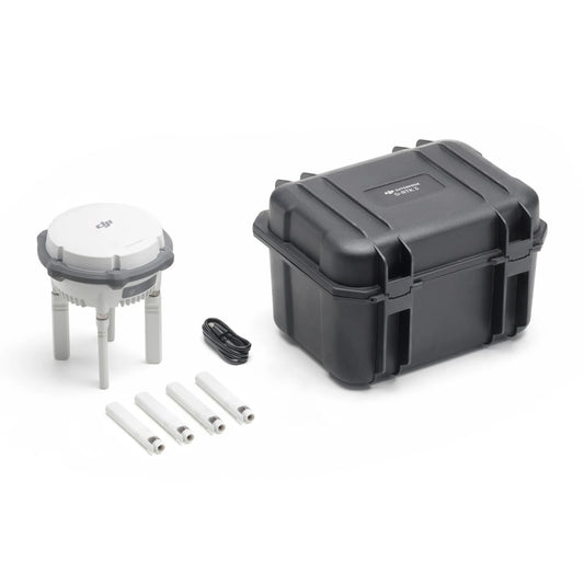
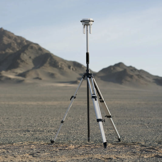
RTK Positioning Accuracy (RTK FIX):
- 1 cm + 1 ppm (horizontal)
- 1.5 cm + 1 ppm (vertical)
-
Max Angular Velocity:
- Pitch: 300°/s
- Yaw: 100°/s
-
Max Pitch Angle: 30°
- In N mode with forward vision system enabled: 25°
- Max Ascent Speed: 6 m/s
- Max Descent Speed (vertical): 5 m/s
- Max Tilted Descent Speed: 7 m/s
- Max Horizontal Speed: 23 m/s
-
Max Flight Altitude:
- 5000 m (with 2110s propellers and takeoff weight ≤ 7.4 kg)
- 7000 m (with 2112 High-Altitude Low-Noise Propellers and takeoff weight ≤ 7.2 kg)
- Max Wind Speed Resistance: 12 m/s
- Max Flight Time: 55 minutes (tested with Matrice 350 RTK flying at approx. 8 m/s in a windless environment)
- Supported DJI Gimbals: Zenmuse H20, Zenmuse H20T, Zenmuse H20N, Zenmuse P1, Zenmuse L1
-
Supported Gimbal Configurations:
- Single downward gimbal
- Single upward gimbal
- Dual downward gimbals
- Single downward gimbal + single upward gimbal
- Dual downward gimbals + single upward gimbal
- Ingress Protection Rating: IP55 (rating may decrease due to product wear)
- Global Navigation Satellite System: GPS + GLONASS + BeiDou + Galileo
- Operating Temperature: -20° to 50° C (-4° to 122° F)
Remote Controller
- Screen: 7.02-inch LCD touchscreen; resolution: 1920×1200; max brightness: 1200 nits
-
Weight:
- Approx. 1.25 kg (without WB37 battery)
- Approx. 1.42 kg (with WB37 battery)
- Global Navigation Satellite System: GPS + Galileo + BeiDou
-
Built-in Battery:
- Type: Li-ion (6500 mAh@7.2 V)
- Charging Type: Battery station or USB-C fast charger (max power 65 W, max voltage 20 V)
- Charging Time: 2 hours
- Chemical System: LiNiCoAlO2
-
External Battery (WB37 Intelligent Battery):
- Capacity: 4920 mAh
- Voltage: 7.6 V
- Type: Li-ion
- Energy: 37.39 Wh
- Chemical System: LiCoO2
- Ingress Protection Rating: IP54
-
Operating Time:
- Built-in Battery: approx. 3.3 hours
- Built-in Battery + External Battery: approx. 6 hours
- Operating Temperature: -20° to 50° C (-4° to 122° F)
-
Operating Frequency:
- 2.4000-2.4835 GHz
- 5.725-5.850 GHz
-
Transmitter Power (EIRP):
- 2.4000-2.4835 GHz:
- < 33 dBm (FCC)
- < 20 dBm (CE/SRRC/MIC)
- 5.725-5.850 GHz:
- < 33 dBm (FCC)
- < 14 dBm (CE)
- < 23 dBm (SRRC)
- 2.4000-2.4835 GHz:
- Wi-Fi Protocol: Wi-Fi 6
-
Wi-Fi Operating Frequency:
- 2.4000-2.4835 GHz
- 5.150-5.250 GHz
- 5.725-5.850 GHz
- Bluetooth Protocol: Bluetooth 5.1
- Bluetooth Operating Frequency: 2.4000-2.4835 GHz
Video Transmission
- Video Transmission System: DJI O3 Enterprise Transmission
- Antenna: 4 video transmission antennas, 2T4R
-
Max Transmission Distance (unobstructed, free of interference):
- 20 km (FCC)
- 8 km (CE/SRRC/MIC)
-
Max Transmission Distance (with interference):
- Low Interference, Obstructed by Buildings: 0-0.5 km
- Low Interference, Obstructed by Trees: 0.5-3 km
- Strong Interference, Unobstructed: 1.5-3 km (urban landscape)
- Medium Interference, Unobstructed: 3-9 km (suburban landscape)
- Low Interference, Unobstructed: 9-20 km (suburb/seaside)
Vision System
-
Obstacle Sensing Range:
- Forward/Backward/Left/Right: 0.7-40 m
- Upward/Downward: 0.6-30 m
-
FOV:
- Forward/Backward/Downward: 65° (horizontal), 50° (vertical)
- Left/Right/Upward: 75° (horizontal), 60° (vertical)
- Operating Environment: Surfaces with discernible patterns and adequate lighting (lux > 15)
Infrared Sensing System
- Obstacle Sensing Range: 0.1-8 m
- FOV: 30° (±15°)
- Operating Environment: Large, diffuse, and reflective obstacles (reflectivity > 10%)
LED Auxiliary Light
- Effective Illumination Distance: 5 m
- Illumination Type: 60 Hz, solid glow
FPV Camera
- Resolution: 1080p
- FOV: 142°
- Frame Rate: 30fps
Intelligent Flight Battery
- Model: TB65
- Capacity: 5880 mAh
- Voltage: 44.76 V
- Type: Li-ion
- Energy: 263.2 Wh
- Weight: Approx. 1.35 kg
- Operating Temperature: -20° to 50° C (-4° to 122° F)
- Ideal Storage Temperature: 22° to 30° C (71.6° to 86° F)
- Charging Temperature: -20° to 40° C (-4° to 104° F)
-
Charging Time (with 220V power supply):
- Fully charge two TB65 Intelligent Flight Batteries in approx. 60 minutes
- Charge two TB65 Intelligent Flight Batteries from 20% to 90% in approx. 30 minutes
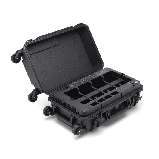
Intelligent Battery Station
- Dimensions: 580×358×254 mm (L×W×H)
- Net Weight: Approx. 8.98 kg
-
Compatible Stored Items:
- Eight TB65 Intelligent Flight Batteries
- Four WB37 Intelligent Batteries
-
Input Voltage:
- 100-120 VAC, 50-60 Hz
- 220-240 VAC, 50-60 Hz
-
Max Input Power:
- 1070 W
-
Output Power:
- 100-120 V: 750 W
- 220-240 V: 992 W
- Operating Temperature: -20° to 40° C (-4° to 104° F)
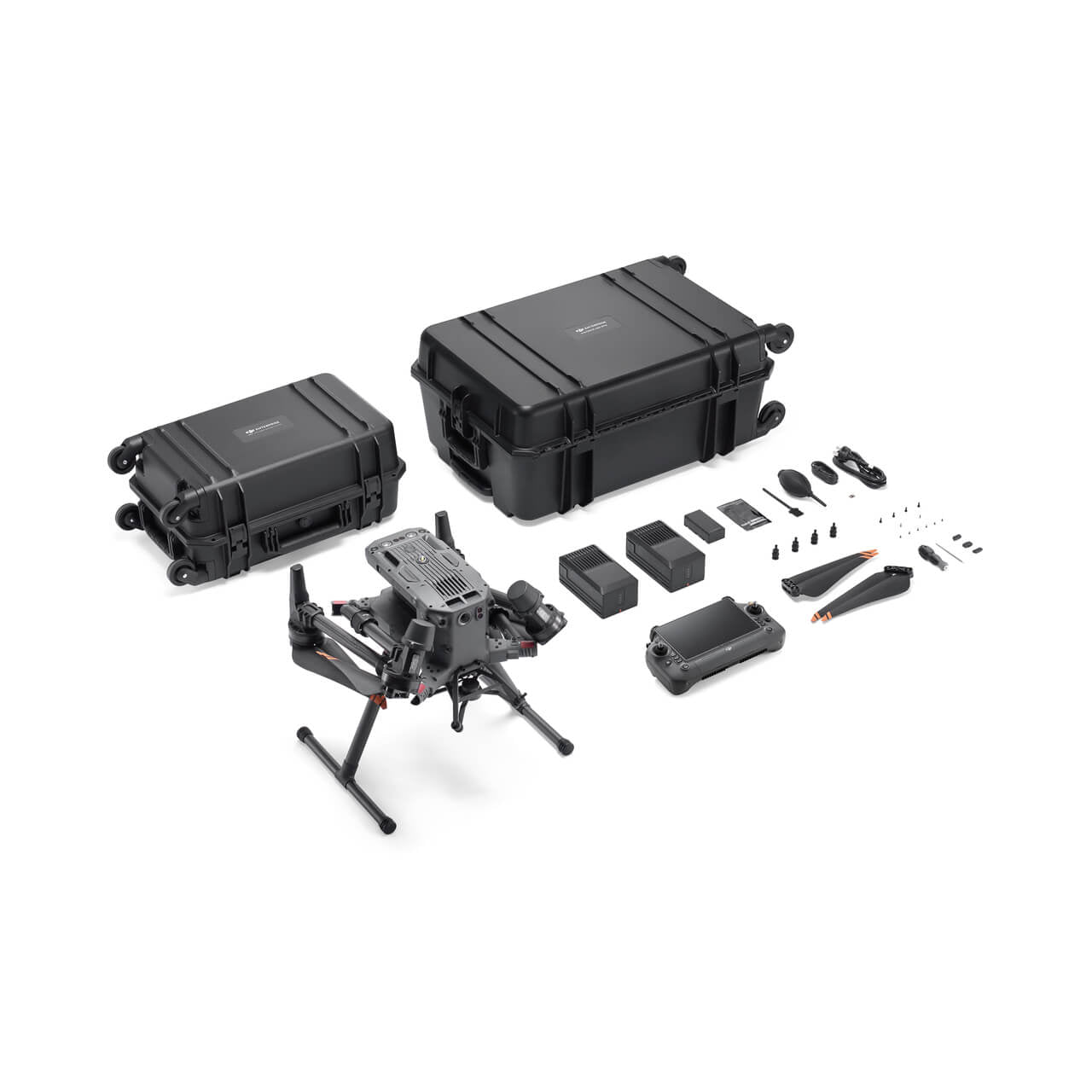
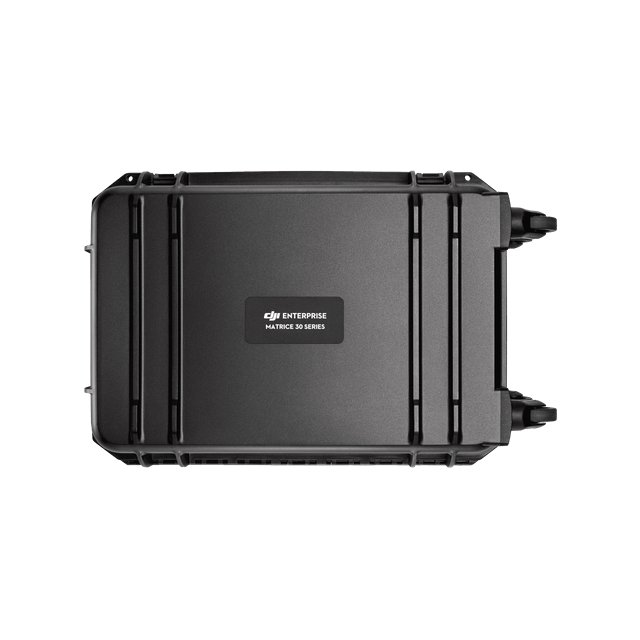
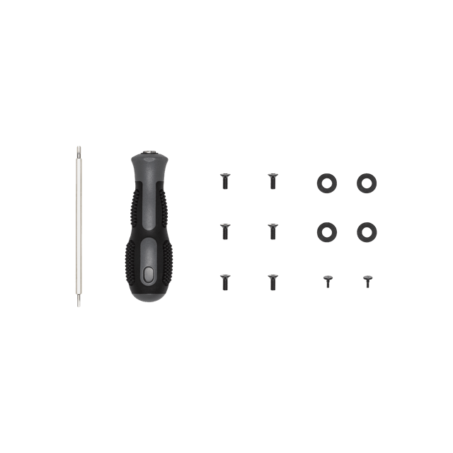
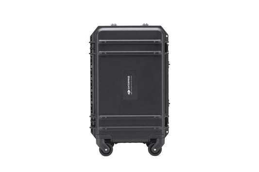
In the Box
- 1x Matrice 350 Aircraft
- 1x DJI RC Plus
- 1x WB37 Intelligent Battery
- 1x Carrying Case
- 2x Landing Gear
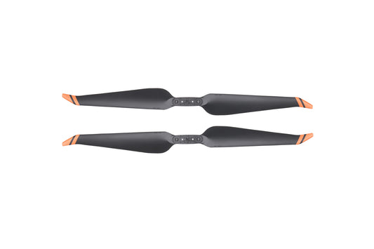
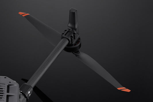
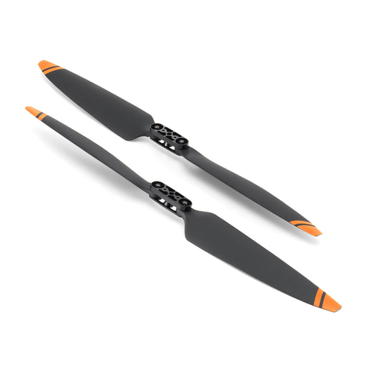
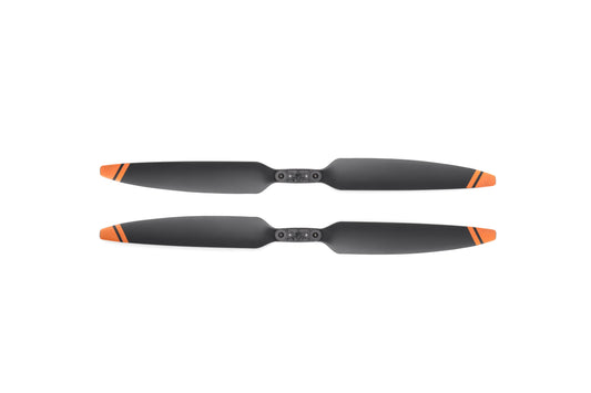
- 1x Matrice 350 RTK 2110s Propellers (Pair)
- 1x Screws and Tools
- 1x Cleaning Tools
- 1x Spare Gimbal Damper
- 1x Rubber Port Cover (Set)
- 1x Screws and Tools
- DJI Care Enterprise Basic

