
Shop DJI Zenmuse L2 Packages

-
 DJI Zenmuse L2 LiDAR Camera with Care Enterprise Plus
As low as $13,560.00
-
 DJI Zenmuse L2 LiDAR Camera with Care Enterprise Basic 2-Year
As low as $12,995.00
-
 DJI Zenmuse L2 LiDAR Camera with Care Enterprise Basic
As low as $12,430.00
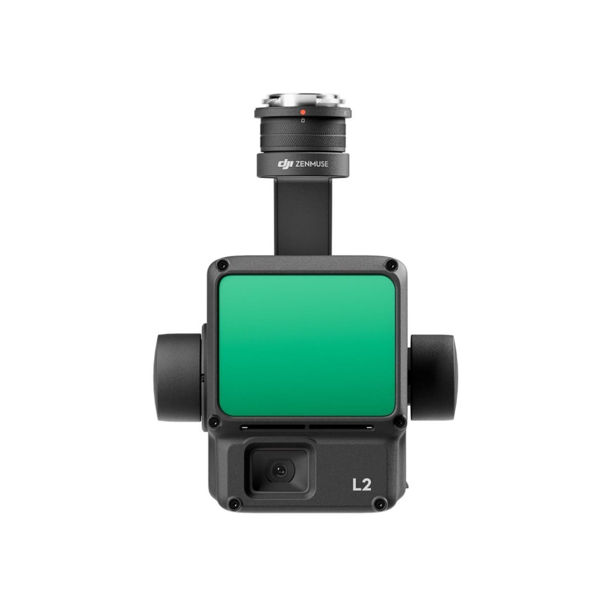
Make 3D operation a breeze with DJI Zenmuse L2
The DJI Zenmuse L2 is a highly-integrated LiDAR system which builds on DJI’s successful Zenmuse L1. With an enhanced RGB camera, upgraded LiDAR module and improved accuracy, any enterprise professional with a DJI Matrice 300 RTK or DJI Matrice 350 RTK platform can benefit from more precise, efficient and reliable 3D data acquisition.
When used with DJI Terra, it delivers a turnkey solution for 3D data collection and high-accuracy post-processing.
Increased hardware power & greater efficiency
With the help of aerial LiDAR technology, professionals in land surveying, mapping, electricity inspection, forestry and infrastructure management, can obtain large-scale, three-dimensional spatial information in a short time. When compared with traditional manual measurement technology, it can greatly reduce the workload, shorten the field measurement time, and improve the detection efficiency.
The Zenmuse L2 integrates LiDAR, a self-developed IMU system, 4/3 CMOS RGB camera, and three-axis gimbal, which when equipped with the DJI Matrice 300 RTK or Matrice 350 RTK drones, produces accurate, efficient and reliable data collection.
Ready when you are
The high-accuracy self-developed IMU system has been significantly enhanced and is ready for use the moment it's powered on, delivering an optimized in-the-field experience. Combined with the drone’s RTK positioning system for data fusion during post-processing, gives the DJI Zenmuse L2 LiDAR camera access to highly accurate, absolute position, speed, and attitude information.
In addition, the IMU system’s enhanced environmental adaptability improves the operational reliability and precision.
Improved detection range, improved safety
The Zenmuse L2 boasts a 30% increase in detection range, detecting objects from 250 meters at 10% reflectivity and 100k Lux and up to 450 meters at 50% reflectivity and 0k Lux in comparison to its predecessor the Zenmuse L1. The typical operational altitude now extends up to 150 meters, notably enhancing operational safety and efficiency.
With a reduced spot size of 4×12 cm @100m, only a fifth of that of the Zenmuse L1, the Zenmuse L2 not only detects smaller objects with more details, generating more accurate digital elevation models (DEM) but supports five returns, capable of penetrating denser vegetation and capturing more ground points beneath the foliage.
In both single and multiple return modes, Zenmuse L2 can reach a max point cloud emission rate of 240,000 points per second, allowing the acquisition of more point cloud data in a given time frame.
Enhanced RGB camera
The sensors RGB mapping camera features a 4/3 CMOS with a mechanical shutter and enlarged pixel size to 3.3 μm.
The effective pixels now reach 20 MP, resulting in a significant improvement in overall imaging, as well as more enriched colourized point cloud details.
The minimum photo interval has been reduced to 0.7 seconds and the mapping camera has a shutter count of up to 200,000 times, further reducing operational costs. If point cloud collection is not needed, the RGB camera can still take photos and videos, or collect images for visible light mapping.
When attached to DJI's flagship Matrice 350 RTK, operational efficiency is improved with both LiDAR point cloud and RGB data collected from a 2.5km area in a single flight.
At a typical working height of 150 meters, the Zenmuse L2 3D point cloud model has an elevation accuracy of 4 cm and a plane accuracy of 5 cm, meeting the requirements of 1:500 high-precision terrain surveying.
Software that puts you in control
During operation, DJI Pilot 2 is used and supports three display modes - RGB, point cloud, and point cloud/RGB side-by-side display, presenting operational results in an intuitive way.
Activating RNG (Laser Rangefinder) enables access to the distance information between the LiDAR module and the object in the center of the FOV, enhancing flight safety. It also supports four real-time point cloud coloring modes - Reflectivity, Height, Distance, and RGB. Additionally, operators can quickly preview the recorded 3D point cloud model to experience real-time monitoring of operational progress.
Through DJI Pilot 2, the DJI Zenmuse L2 LiDAR Camera can automatically generate route operation quality reports after the completion of route tasks, with point cloud playback and splicing functions. A quick preview of the point cloud results can be viewed at the job site, and if the data is abnormal, shots can be retaken to avoid repeated outings.
One-click processing on DJI Terra
With DJI Terra, the Zenmuse L2 enables efficient and reliable one-stop point cloud post-processing. After the point cloud trajectory is solved and the point cloud accuracy is optimized, a 3D point cloud in standard format can be generated with one click.
The ground point is then classified, and DJI Terra creates the digital elevation model (DEM). Accuracy control and inspection functions can then be used to analyze the result.
One tool for multiple industries
In combination with the DJI Matrice 300 RTK or DJI Matrice 350 RTK platform and DJI Terra, the Zenmuse L2 is ideal for land surveying, forestry, key asset management, and many other scenarios.
When used for topographic mapping, the Zenmuse L2 can quickly map a large area, helping operators to complete topographic surveys not only quickly but most important, accurately.
After the raw point cloud data is collected, it can be automatically processed to generate many results, such as 3D point cloud in standard format, DEM (digital elevation models) and be used for further measurements.
For forestry professionals, the Zenmuse L2's LiDAR can penetrate through the canopy. Characteristics such as crown width, tree height can be analyzed to dynamically monitor the growth of plants.
In the electricity inspection industry, it has always been difficult to use photogrammetry method to reconstruct lines and components. Now, with the Zenmuse L2 LiDAR Camera, point cloud data can be collected efficiently. Inspection specialists can also measure the distance between vegetation and powerlines to spot any potential risks or plan automated inspection missions based on the point cloud data.