


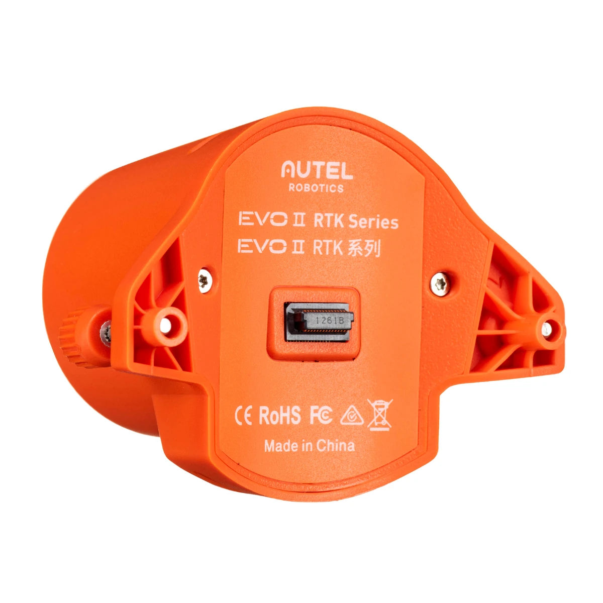
Autel EVO II Enterprise RTK Module
Autel EVO II Enterprise RTK Module
SKU:S-AR-E2-RTKM


- Description
- Specifications
- In the Box
- FAQ
Centimeter-Level GNSS Positioning for Mapping and Surveying Workflows
The Autel RTK Module for EVO II Enterprise is a GNSS positioning accessory designed to deliver centimeter-level accuracy for aerial mapping, surveying, and inspection operations. Built for the EVO II Enterprise V2 and V3 platforms, it enables real-time RTK positioning by connecting to an A-RTK base station or network while also supporting PPK workflows for post-flight correction.
The module uses multi-constellation GNSS including GPS, BeiDou, and Galileo to ensure stable and accurate positioning in complex environments. By synchronizing positioning data with image capture, it allows operators to produce highly accurate geospatial outputs without relying solely on ground control points.
Key Features and Benefits
- RTK positioning: delivers centimeter-level accuracy for mapping and surveying operations
- 1 cm + 1 ppm: provides high-precision horizontal positioning performance
- PPK support: enables post-processing correction without continuous network connection
- Time synchronization: aligns GNSS data with image capture for accurate geotagging
- Multi-GNSS support: utilizes GPS, BeiDou, and Galileo for stable positioning
- A-RTK compatibility: works with base stations for real-time correction data
- Lightweight design: weighs 2.09 oz (59 g) minimizing flight performance impact
- Floating connectors: ensure stable connection during dynamic flight conditions
- Easy installation: mounts directly onto EVO II Enterprise aircraft
Applications and Use Cases
- Surveying workflows: captures high-accuracy geospatial data for land and site mapping
- Construction mapping: supports progress tracking and volumetric measurement tasks
- Infrastructure inspection: provides precise positioning for asset documentation workflows
- GIS data capture: enables accurate data collection for mapping and analysis
- Agriculture mapping: supports precision farming and crop monitoring workflows
- Photogrammetry missions: improves model accuracy with precise geotagged imagery
The RTK Module provides a reliable method for achieving high-accuracy positioning in aerial operations. Its support for both real-time and post-processing workflows ensures flexibility across environments where connectivity may be limited.
With DSLRPros, you gain access to UAV solutions tailored for professional mapping and survey operations. Every system is vetted for performance and reliability—order the Autel RTK Module from DSLRPros today
