


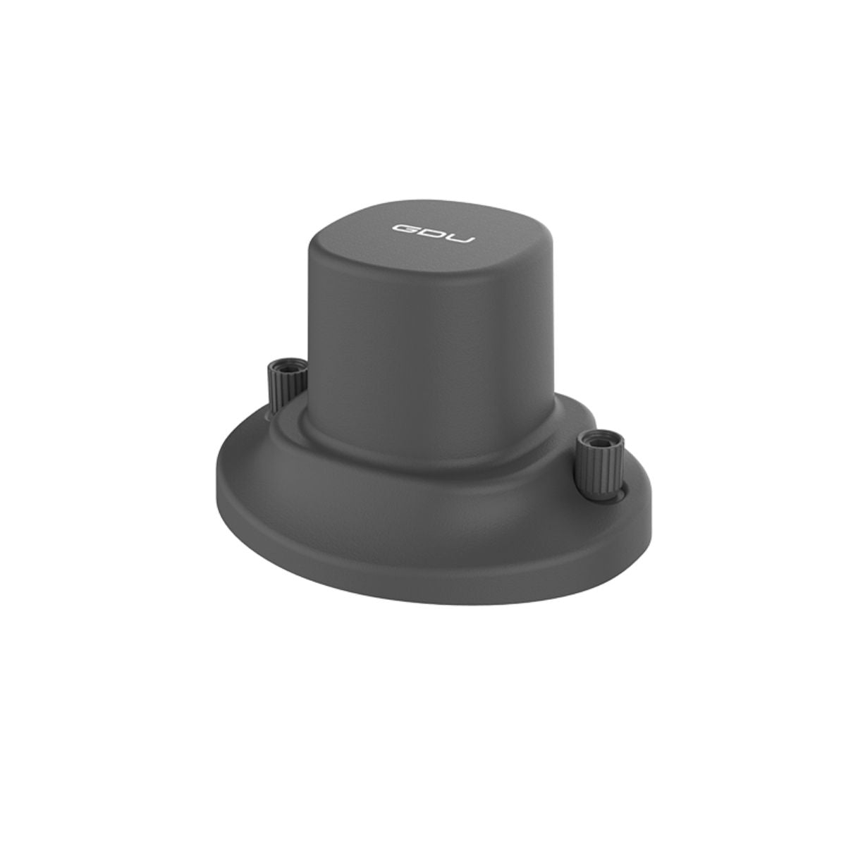
GDU S200 RTK Module: Centimeter-Level Precision for Professional Missions
The GDU S200 RTK Module delivers survey-grade positioning accuracy to the S200 and S220 drone platforms. By leveraging real-time kinematic corrections, it reduces horizontal and vertical errors to within centimeters, unlocking advanced capabilities for mapping, surveying, and infrastructure inspection. Compact and purpose-built, the module integrates seamlessly with the aircraft, providing operators with the reliability needed for precision workflows.
Unlike standard GNSS positioning, which can drift by several meters, RTK integration provides confidence for missions where accuracy is non-negotiable. Whether flying repeatable survey routes or capturing georeferenced imagery, the S200 RTK Module ensures every flight produces dependable results. It enhances operational efficiency while reducing the need for ground control points.
Key Features and Benefits
- Achieves centimeter-level positioning accuracy with RTK corrections
- Reduces need for extensive ground control point setups
- Seamless integration with S200 and S220 drone platforms
- Plug-and-play design for quick field installation
- Built for industrial and enterprise-grade workflows
Applications and Use Cases
- Aerial Mapping: Capture georeferenced imagery with survey-grade accuracy
- Construction: Perform repeatable surveys for site monitoring
- Utilities: Conduct precision corridor mapping of powerlines and pipelines
- Infrastructure: Inspect bridges, roads, and railways with accurate positioning
- Agriculture: Support precision farming and field analysis with RTK data
With its easy installation and robust compatibility, the module transforms the S200 platform into a precision surveying tool. At DSLRPros, we provide the expertise and training to help you get the most from RTK-enabled operations. Shop the GDU S200 RTK Module today and elevate your mission capabilities.
Specifications
- Positioning accuracy with RTK fix: ±1 cm + 1 ppm (H), ±1.5 cm + 1 ppm (V)
- Correction method: real-time kinematic (RTK) GNSS corrections
- Integration: plug-and-play module for S200/S220 platforms
- Use case: survey-grade mapping, inspection, and georeferencing
In the Box
- 1x GDU S200 RTK Module
- 1x Mounting and connection hardware
