


DJI D-RTK 3 Survey Pole and Tripod Kit
DJI D-RTK 3 Survey Pole and Tripod Kit
SKU:S-DJI-DRTK3-KIT


- Description
- Specifications
- In the Box
- FAQ
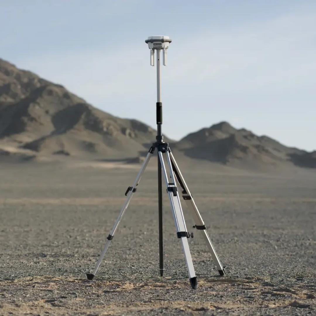
DJI D-RTK 3 Survey Pole and Tripod Kit: stable base and rover deployment for precision RTK
The DJI D-RTK 3 Survey Pole and Tripod Kit is a dedicated mounting solution designed to support precise RTK positioning workflows with the D-RTK 3 system. It includes a height-adjustable, self-locking survey pole and a dual-lock tripod that enable fast setup and reliable leveling in the field. Supporting both base station and rover station configurations, this kit provides the flexibility required for mapping, surveying, and control point collection across varied terrain and operational scenarios.
Core features at a glance
- Self-locking survey pole: Enables quick height changes without tools
- Adjustable pole height: Extends from 125 to 200 cm for elevation clearance
- Dual-lock tripod: Provides stable footing and reliable leveling support
- Base station configuration: Supports fixed RTK station deployment
- Rover mode operation: Survey pole usable independently for checkpoints
- Field-ready design: Built for repeated professional setup and breakdown
Compatibility
- DJI D-RTK 3 Multifunctional Station: Designed for direct mechanical compatibility
- D-RTK 3 AG: Supports agricultural and enterprise RTK workflows
- Survey and mapping operations: Suitable for base and rover positioning tasks
The DJI D-RTK 3 Survey Pole and Tripod Kit delivers a stable, repeatable mounting solution for teams relying on centimeter-level positioning accuracy. Its flexible configurations support both stationary and mobile RTK use without added complexity. Available from DSLRPros, this kit is backed by enterprise-focused support for professional survey and mapping operations.
