


GreenValley LiAir X3-H Airborne Laser Scanning Unit
GreenValley LiAir X3-H Airborne Laser Scanning Unit
SKU:S-GVI-AIRX3


- Description
- Specifications
- In the Box
- FAQ
GreenValley LiAir X3-H Airborne Laser Scanning Unit: 720,000 pts/s Triple-Return LiDAR with 5 cm Accuracy and Hybrid SLAM Mapping
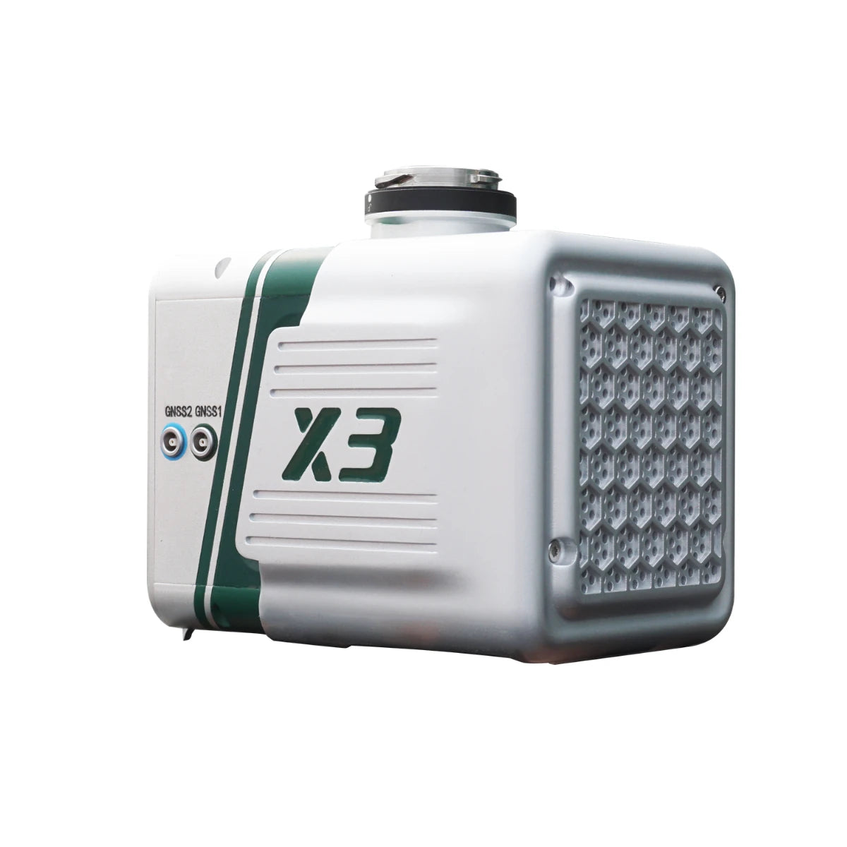
The GreenValley LiAir X3-H Airborne Laser Scanning Unit is a lightweight UAV LiDAR system designed for high-efficiency mapping, inspection, and surveying workflows. It integrates a 905 nm LiDAR sensor, 200 Hz IMU, multi-constellation GNSS, and a 26 MP APS-C mapping camera into a compact 1.25 kg (2.76 lbs) payload. This allows synchronized capture of point cloud, positioning, and imagery data in a single flight.
The system also supports hybrid operation through an optional handheld SLAM module, enabling data collection in both GNSS-available and GNSS-denied environments. With scan rates up to 720,000 points per second and detection ranges up to 450 m (1,476 ft), it is designed for flexible deployment across varied terrain and structures.
Key Features and Benefits
- High-speed LiDAR scanning: Up to 720,000 points per second capture rate.
- Triple-return capability: Captures multiple surfaces for vegetation and terrain modeling.
- Lightweight payload design: 1.25 kg supports extended UAV flight durations.
- Detection range performance: Up to 450 meters at high reflectivity surfaces.
- Survey-grade accuracy: 5 cm vertical accuracy at 70 meters altitude.
- Integrated mapping camera: 26 MP APS-C sensor captures detailed imagery.
- Multi-GNSS positioning: GPS, GLONASS, BeiDou support improves georeferencing accuracy.
- Hybrid SLAM capability: Enables mapping in GNSS-denied indoor environments.
- Efficient coverage rate: Up to 100,000 square meters per hour mapping.
Flexible UAV and SLAM Mapping for Multi-Environment Data Collection
The LiAir X3-H is designed to support both aerial and ground-based data acquisition workflows. In UAV mode, it captures LiDAR and imagery data across large areas at typical flight speeds of 5–10 m/s (11.2–22.4 mph), maintaining consistent coverage and point density. The triple-return LiDAR improves terrain modeling by capturing multiple reflections per pulse.
In handheld mode, the system uses SLAM and PPK-SLAM to generate accurate point clouds in environments without GNSS signals. This enables indoor scanning, building interiors, and complex structures while maintaining centimeter-level fusion accuracy when combined with aerial datasets.
Compatibility and System Integration
- Compatible with DJI Matrice 400, DJI Matrice 350 RTK, DJI Matrice 300 RTK platforms.
- Designed for integration with DJI enterprise UAV mounting and control systems.
- Supports LiPlan software for mission planning, monitoring, and parameter control.
- LiGeoreference processes trajectory and point cloud data for accurate outputs.
- LiDAR360 supports post-processing, classification, and analysis of LiDAR datasets.
- Enables fusion of airborne LiDAR data with handheld SLAM-generated point clouds.
Applications and Use Cases
- Topographic mapping: Generate terrain models with high-density LiDAR point clouds.
- Forestry surveying: Capture ground elevation beneath dense vegetation canopy.
- Powerline inspection: Identify vegetation encroachment and clearance conditions accurately.
- Infrastructure inspection: Map structures and assets with consistent spatial accuracy.
- Mining and quarry mapping: Measure terrain changes and stockpile volumes efficiently.
- Building scanning: Capture indoor and facade geometry using hybrid SLAM workflows.
The GreenValley LiAir X3-H Airborne Laser Scanning Unit provides a compact and flexible LiDAR solution for professionals requiring both aerial and ground-based mapping capability. Its integrated design reduces setup complexity while maintaining consistent data accuracy across environments.
At DSLRPros, we support complete UAV LiDAR workflows from deployment to data processing. Consult our UAV specialists to configure the LiAir X3-H for your operation and purchase from DSLRPros with confidence.
