


-
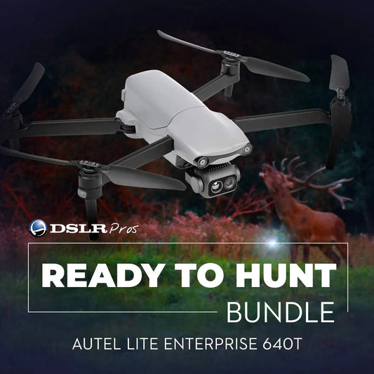
DSLRPros Ready to Hunt Bundle
Call for Price -
 Sold out
ACSL SOTEN Agriculture Package
Regular price $22,345.00Regular priceUnit price per


-
Sentera 6X Thermal Pro Sensor Kit for Inspired Flight IF800
Regular price $21,350.00Regular priceUnit price per -
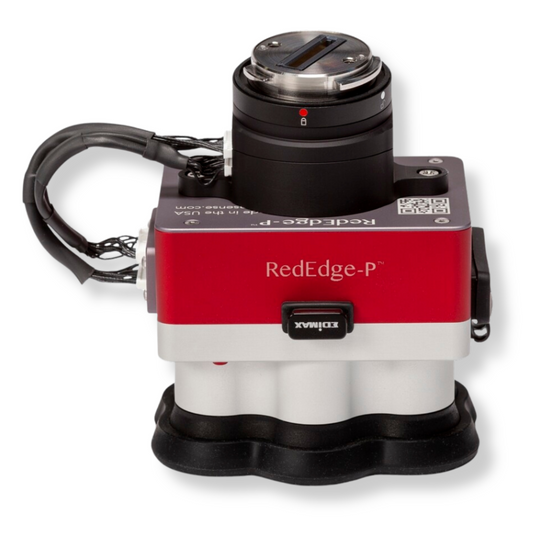
MicaSense RedEdge-P Green Multispectral Kit
Regular price $8,495.00Regular priceUnit price per -
MicaSense RedEdge-P Multispectral Camera Kit with DJI Skyport M300 / M350
Regular price $10,290.00Regular priceUnit price per -
MicaSense Altum-PT with DJI M300/M350 SkyPort Kit
Regular price $17,944.00Regular priceUnit price per -
ACSL SOTEN Multispectral Camera
Regular price $5,405.00Regular priceUnit price per -
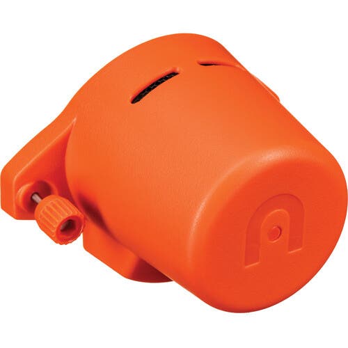
Autel EVO MAX RTK Module
Regular price $529.00Regular priceUnit price per -
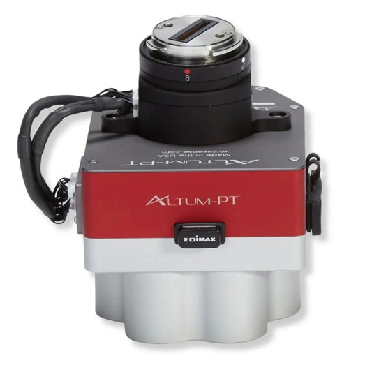
MicaSense Altum-PT
Regular price $15,495.00Regular priceUnit price per -
MicaSense DJI M300/M350 SkyPort Kit for Altum-PT
Regular price $1,949.00Regular priceUnit price per -
Autel EVO II Enterprise - RTK Module
Regular price $625.00Regular priceUnit price per -
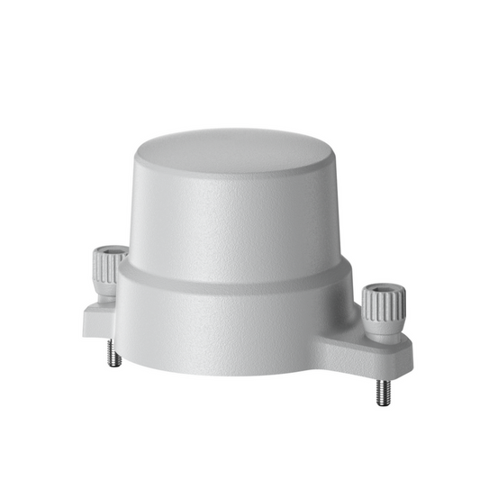
MicaSense DLS 2 Mount for DJI Matrice 350 RTK
Regular price $250.00Regular priceUnit price per -
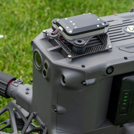
Inspired Flight - Micasense Altum-PT Integration
Regular price $750.00Regular priceUnit price per


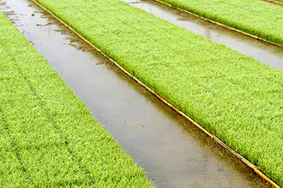
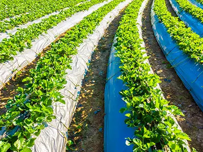
Irrigation and Water Management
-
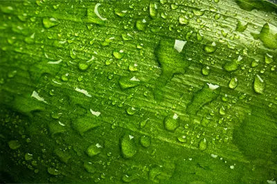
Moisture Level Detection
-
Efficient Resource Use
-
System Monitoring


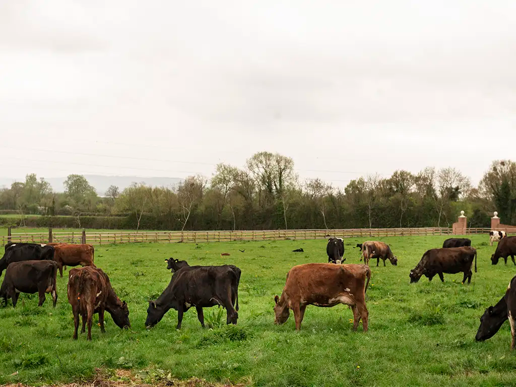
Livestock and Farm Asset Monitoring
-
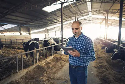
Herd Tracking and Counting
-
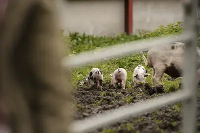
Health and Behavior Monitoring
-
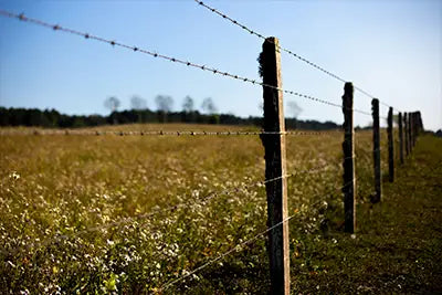
Asset and Perimeter Security


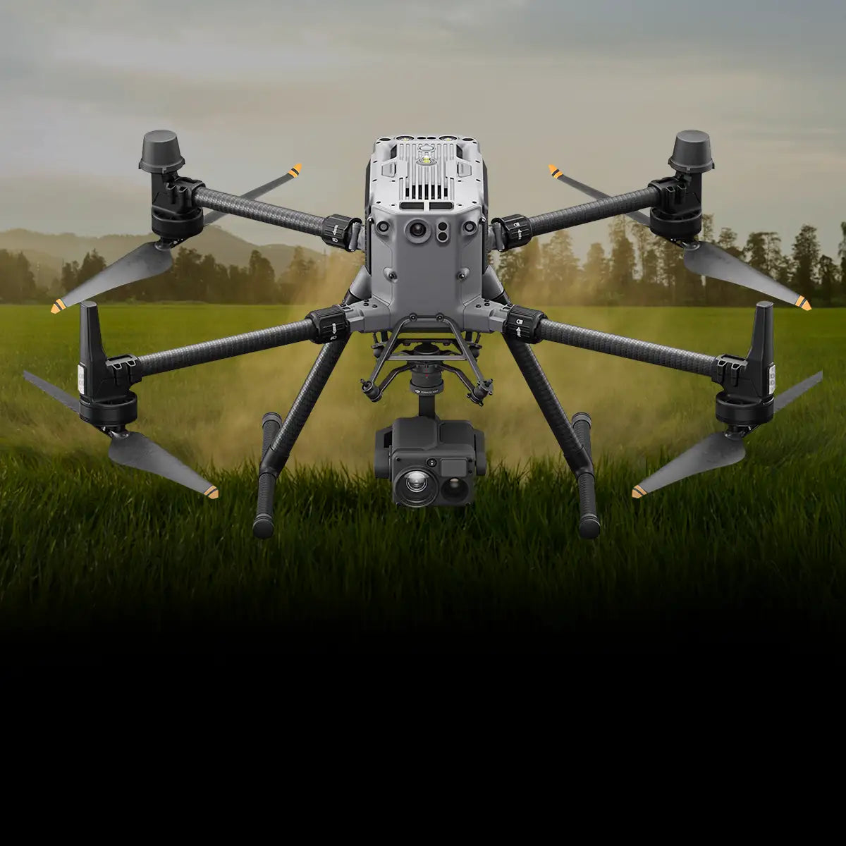
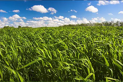
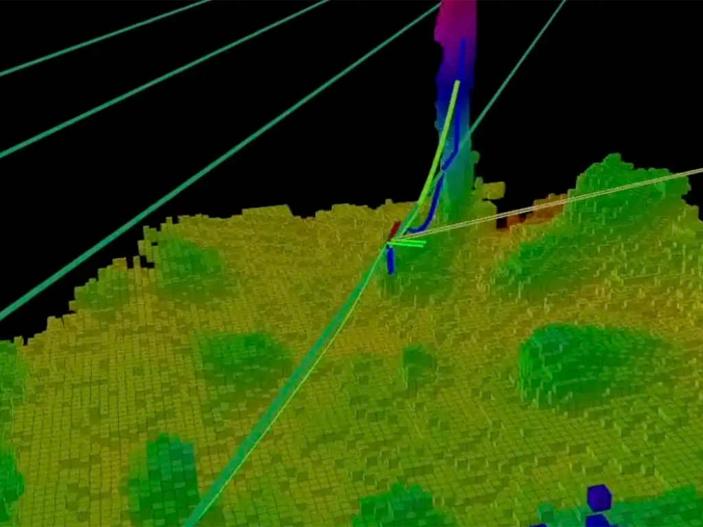
Crop Scouting and Mapping
-
Early Stress Detection
-
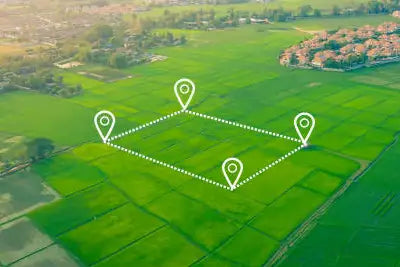
High-Resolution Crop Mapping
-

Efficient Coverage at Scale


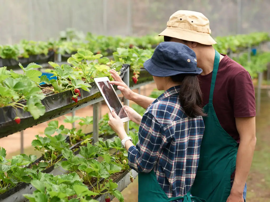
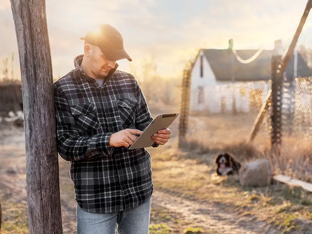
Crop Consulting and Data Insights
-
Actionable Agronomy Data
-
Faster Decision Cycles
-
Season-over-Season Comparisons


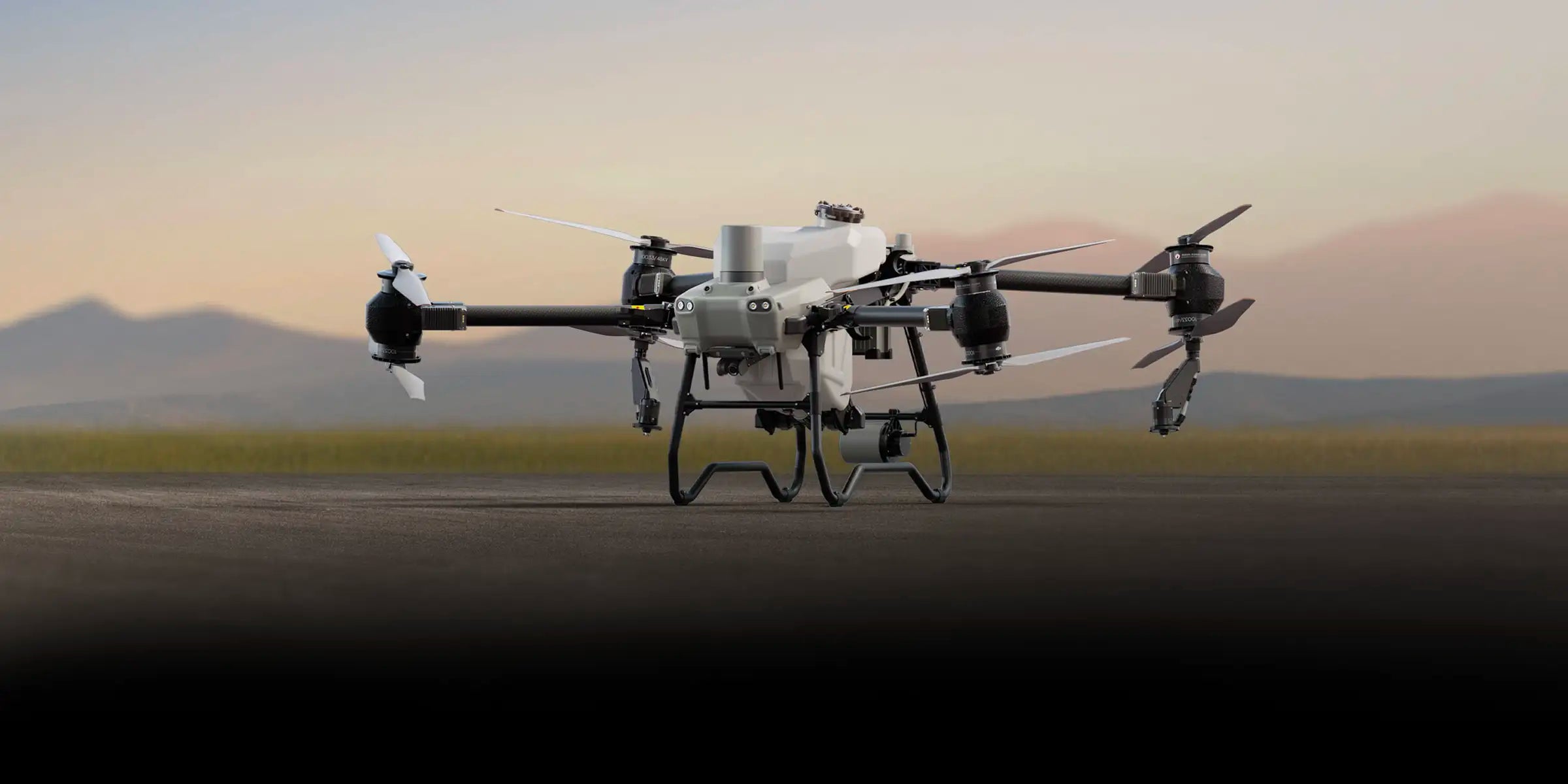
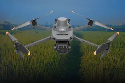
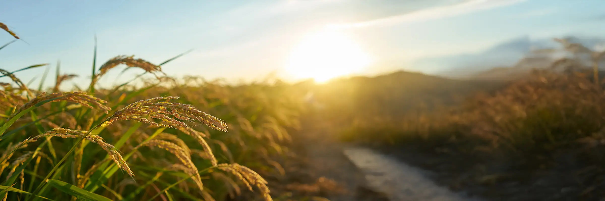
10 Ways Agricultural Drones Transform Farming
-
Faster Field Scouting
-
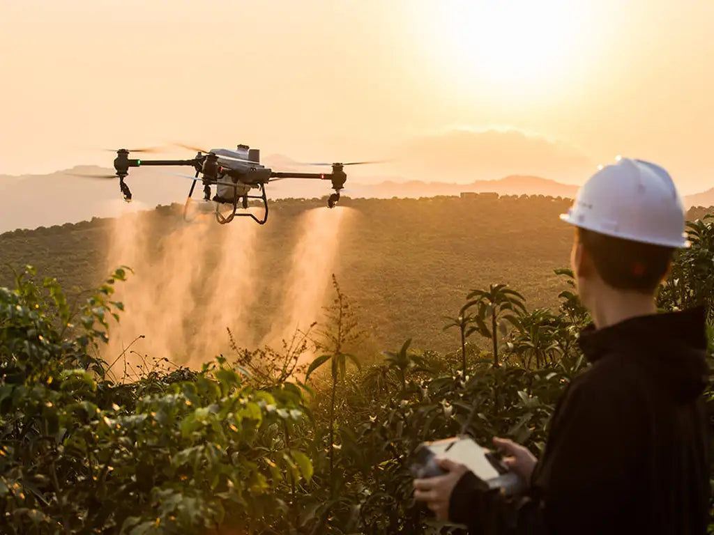
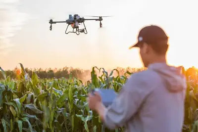
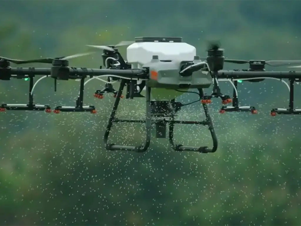
Precision Agriculture Spraying
-
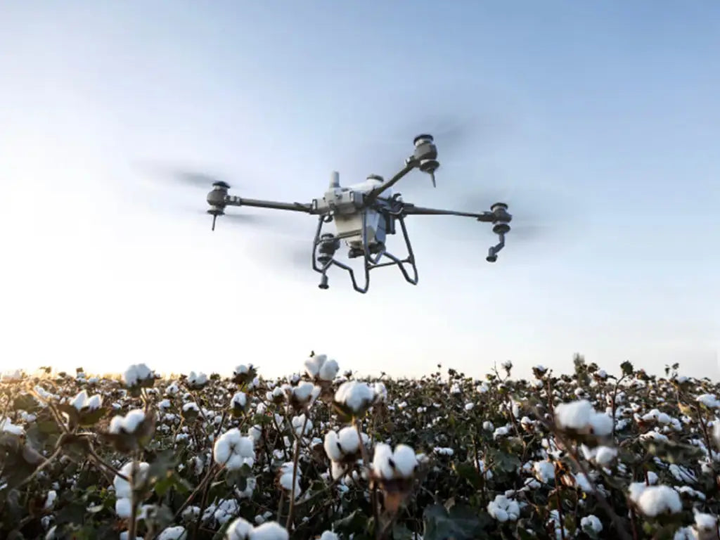
Multispectral Crop Analysis
-
Real-Time Decision Support
-
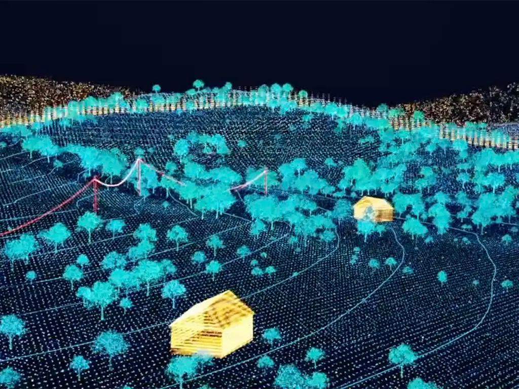
Accurate Crop Mapping
-
Efficient Irrigation Management
-
Livestock Monitoring
-

Reduced Input Costs
-
Improved Farm Safety
-
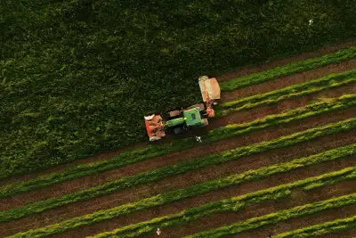
Fleet Management at Scale


-
Precision Spraying
-
Smart Irrigation
-
Livestock & Scaling


The DSLRPros Advantage
-

UAV THERMAL EXPERTS
We are industry leaders in thermal imaging drones. As one of the pioneers in thermal drone technology, our team of experts will help you build a custom solution that meets both your budget and needs.
-

MISSION SPECIFIC SOLUTIONS
We specialize in the development and delivery of cost-effective mission-specific enterprise solutions. All our kits are specially designed, assembled, and individually tested for quality assurance in the United States.
-

AFTER PURCHASE SUPPORT
Our customer service doesn't just end with your purchase; we go the extra mile to make sure our customers have the guidance they need. As our customer, you will know us by name and can count on us for support whenever you need it.


