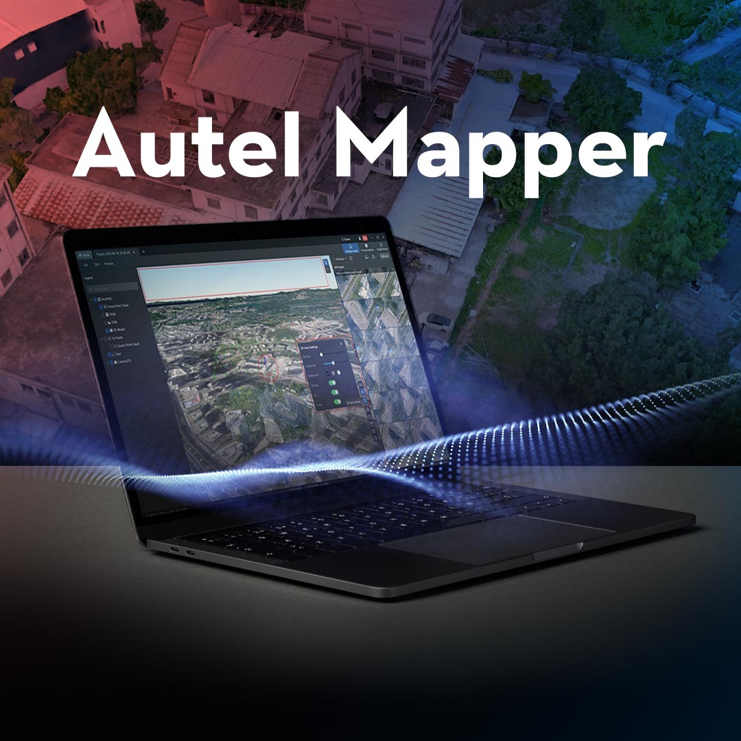
High-Performance Software for Drone Mapping Missions
Autel Mapper is a robust photogrammetry platform built for teams that need actionable data—not just pretty visuals. From construction sites to crop fields, Autel Mapper delivers accurate 2D orthomosaics, 3D models, and dense point clouds with minimal setup. Whether you're surveying land, monitoring assets, or mapping terrain, this software is engineered to support professional workflows with scalable licensing and dependable results.
Designed for seamless integration with Autel EVO II series drones, Autel Mapper offers a fast, efficient path from raw images to survey-ready deliverables.
Built for Real-World Mapping Workflows
Autel Mapper isn’t just feature-rich—it’s field-ready. Whether you’re capturing terrain models, assessing infrastructure, or managing crops, this platform delivers fast, reliable results tailored to your mission’s demands.
- 2D and 3D Mapping Capabilities: Generate orthomosaics, textured 3D models, and terrain reconstructions with one-click workflows
- Point Cloud Processing: Create dense point clouds in .las format for CAD, GIS, and BIM applications
- Multi-Format Output: Export results in .tif, .las, .kml, .shp, and other industry-standard file types
- Survey Accuracy: Achieve centimeter-level precision when paired with RTK-enabled drones and GCPs
- Fast Processing: Optimized for GPU acceleration and multi-threaded performance
- Offline Functionality: Work in remote locations without relying on cloud connections
-
Autel Drone Compatibility: Built specifically for the EVO II RTK and compatible enterprise models
Real-World Applications for Autel Mapper
Use Autel Mapper for drone mapping across a wide range of industries:
- Construction & Site Surveying: Create contour maps and volumetric calculations for pre-construction planning or stockpile tracking
- Public Safety & Emergency Response: Build 2D/3D scene reconstructions for post-incident analysis and documentation
- Agriculture: Monitor crop health, identify field variability, and map irrigation zones using 2D orthos
- Utilities & Infrastructure: Generate precise 3D models of towers, powerlines, and structures
- Environmental Monitoring: Track land changes, erosion, or restoration progress with geo-referenced maps
-
Mining & Earthworks: Analyze pit progression and material displacement using high-density point clouds
Choose the Right Autel Mapper License
Whether you're mapping small sites or managing enterprise-scale operations, Autel Mapper offers flexible licensing to match your workflow. Compare tiers to find the right balance of features, output formats, and processing power for your team.
| License Level | Key Features | Best For |
|---|---|---|
| Basic | 2D mapping, limited outputs | Entry-level users, basic orthos |
| Advanced | 2D & 3D mapping, point clouds, full exports | Surveyors, inspectors, small teams |
| Professional | Full feature set, highest processing capacity | Enterprise teams, advanced workflows |
Need help choosing the right license? Our team can walk you through the options based on your workflow and data output needs.
Why Teams Choose DSLRPros
- Drone Mapping Experts: We don’t just resell software—we help you integrate it into your real-world mission
- Custom Bundles: Pair Autel Mapper with the right drone, payload, and accessories to streamline your workflow
-
Enterprise Support: From training to troubleshooting, our team ensures you get value from your investment
Authorized Dealer: 100% legitimate software, activated and backed by official support channels
Talk to a Drone Mapping Specialist
Need help selecting the right Autel Mapper license or building a complete drone mapping workflow?
Call (213) 262-9436 or click Request Info/Quote to speak with a DSLRPros mapping expert today.


