


Professional Drones & UAV Solutions


Professional Drones for Your Business
BEST SELLING DRONES
-
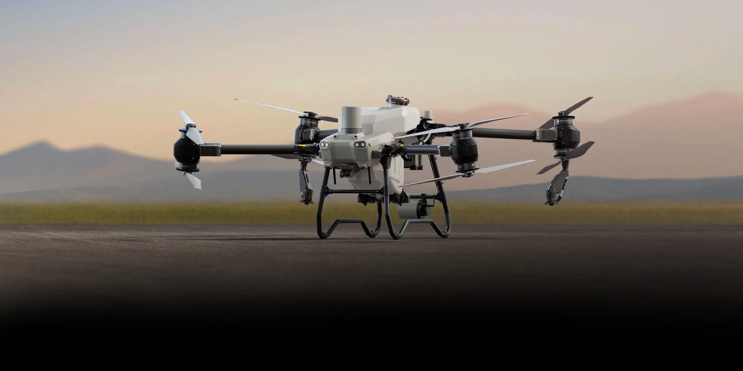
DJI Matrice 400 with BS100 Battery Station + TB100 Intelligent Flight Battery
Regular price $13,998.00Regular priceUnit price per -
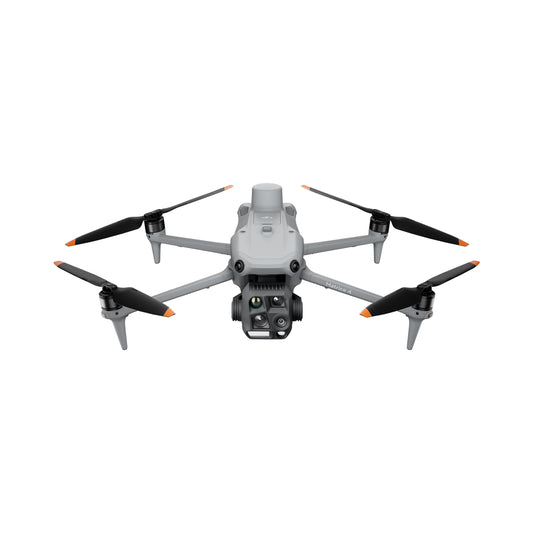
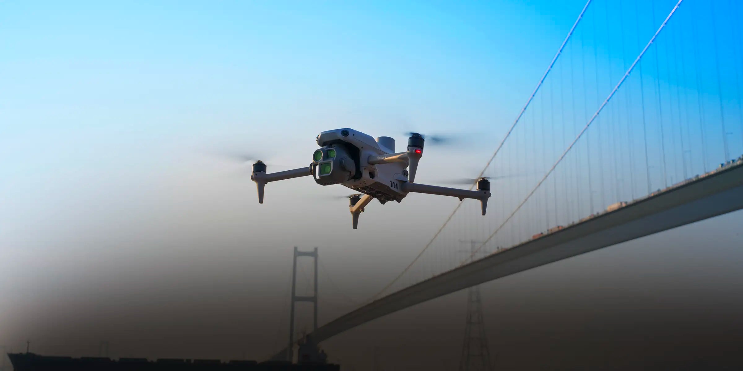
DJI Matrice 4T Universal Edition
Regular price $7,799.00Regular priceUnit price per -
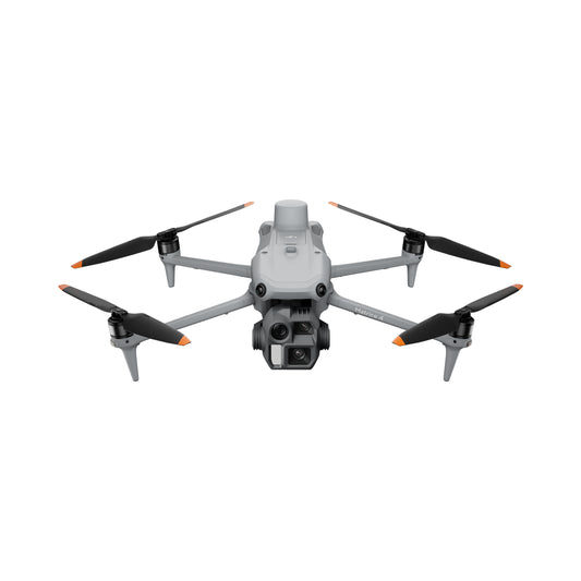
DJI Matrice 4E Universal Edition
Regular price $5,099.00Regular priceUnit price per$5,249.00Sale price $5,099.00Sale -
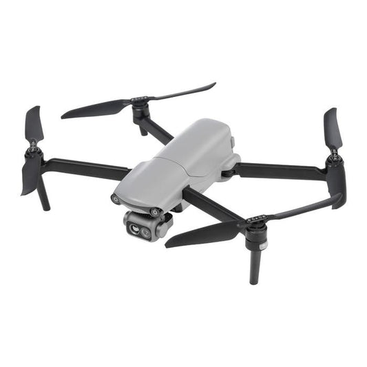
DJI Matrice 4TD (Aircraft Only)
Regular price $7,640.00Regular priceUnit price per -
ACSL SOTEN Inspection Package
Regular price $16,940.00Regular priceUnit price per -
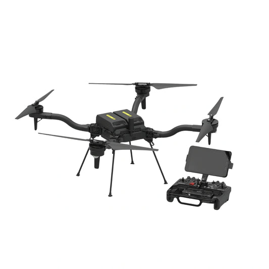
Freefly Astro Max Aircraft
Regular price $22,995.00Regular priceUnit price per -
Autel EVO Lite 640T Enterprise 7.9in Controller Premium Package
Regular price $4,199.00Regular priceUnit price per$4,239.00Sale price $4,199.00Sale -
DJI Agras T50 Spraying Drone
Regular price $15,199.00Regular priceUnit price per$16,899.00Sale price $15,199.00Sale -
DJI Avata 2 Fly More Combo (3 Batteries)
Regular price $1,395.00Regular priceUnit price per$1,499.00Sale price $1,395.00Sale


The Best Professional Drone Packages & Training Courses
UAV SOLUTIONS BY INDUSTRY
-
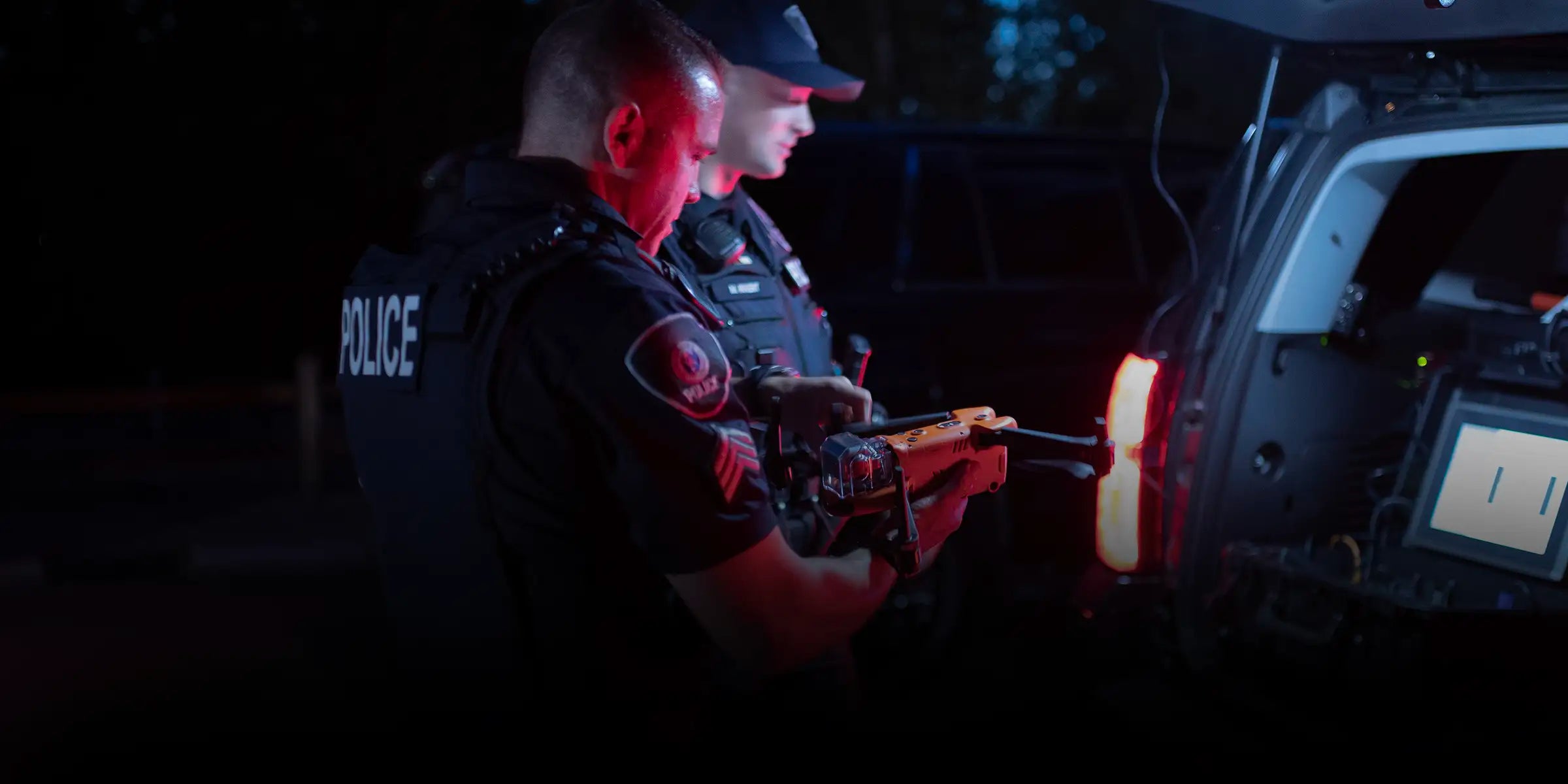
Public Safety Drones
-

Energy and Utilities Drones
-
Agriculture and Farming Drones
-
Drones for Construction and Survey Projects


Drone Trends
-

DSLRPros Partners with Terra Drone to Expand Terra Xross 1 Indoor Inspection ...
DSLRPros, a leading provider of enterprise drone solutions and mission-ready UAV systems, is proud to announce a new strategic partnership with Terra Drone Corporation to support the expansion of the Terra Xross 1 indoor inspection drone platform throughout the United States. The partnership combines Terra Drone’s advanced indoor inspection technology with DSLRPros’ operational expertise, deployment support, and nationwide customer network...
-

How to Scale a Police DFR Program: Centralized vs Distributed Drone Fleet Models
If your DFR program is expanding, fleet structure—not aircraft—will determine your response time. Most agencies don’t see it until performance stalls. Response times flatten, incidents overlap, and leadership starts asking why. The issue isn’t aircraft. It’s structure. Most Drone as First Responders programs start with one aviation unit, one launch authority, and one staging location. That structure works early. But...
-

DSLRPros Expands LiDAR Mapping Capabilities Through GeoCue Partnership
DSLRPros is now a distribution partner of GeoCue, delivering TrueView LiDAR systems and LP360 software to customers across the United States. This strengthens access to established LiDAR mapping tools used in surveying, utility inspection, and public safety operations. TrueView systems capture LiDAR data in the field. LP360 software processes that data into structured outputs for mapping and analysis. Together, they...


