
senseFly eBee X (without payload)
Vendor Part Number
SF051000
Special Price $11,650.00 Regular Price $13,500.00
- Compatible with a range of photogrammetry cameras
- 1.5 cm/0.6 in absolute accuracy
- 1.6 kg takeoff weight
- Max 90-minute flight time
- Easy hand-launch
- 3-minute deploy
- Automated flight and landing with eMotion software
NOTE: NO payload included
In stock & ready to ship
OR


Unleashing precision and versatility with senseFly eBee X
In the ever-evolving world of drones, the SenseFly eBee X stands out as a true industry game-changer. This cutting-edge drone is designed to deliver exceptional precision and versatility, making it a go-to choice for professionals across various fields.
Precision in every flight
The eBee X is engineered to provide surveyors, mappers, and agriculturists with the utmost accuracy in data collection.
Whether you're mapping extensive landscapes, conducting precision agriculture operations, or surveying complex construction sites, this drone excels in delivering detailed and actionable data.
Its state-of-the-art technology ensures that each mission results in high-quality, georeferenced imagery and data.
Adaptable and agile
One of the eBee X's most striking features is its adaptability. With its easy-to-swap payload options, this drone can be quickly reconfigured to meet your specific needs.
Whether you require high-resolution RGB imagery, multispectral data for agriculture, or thermal imaging for infrastructure inspection, the eBee X can seamlessly switch between payloads, ensuring that you're well-equipped for the task at hand.
Extended endurance
This drone boasts impressive endurance, allowing it to cover vast areas on a single flight. With its long flight times, the eBee X significantly reduces downtime, streamlining operations and maximizing efficiency.
User-friendly and reliable
SenseFly has placed a strong emphasis on user-friendliness and reliability. The eBee X is easy to set up, operate, and maintain. Its intuitive eMotion software simplifies flight planning, while its rugged construction ensures reliability in challenging environments.
This drone can withstand a wide range of weather conditions, guaranteeing consistent performance.
Setting new standard
In a world where precision, versatility, and efficiency are paramount, the SenseFly eBee X drone stands as a true innovation. With its adaptability and dependable performance, it has redefined the capabilities of commercial drones.
Whether you're a professional in agriculture, surveying, mining, or infrastructure inspection, the eBee X empowers you to collect precise data with ease. It's a powerful tool that has raised the bar for drone technology, setting new standards for the industry.
Hardware |
|
| Wingspan | 116 cm (45.7 in) |
| Weight | 1.4 kg (3.1 lb) |
| Motor | Low-noise, brushless, electric |
| Radio link range | 3 km nominal (up to 8 km) / 1.9 mi (up to 5 mi) |
| Detachable wings | Yes |
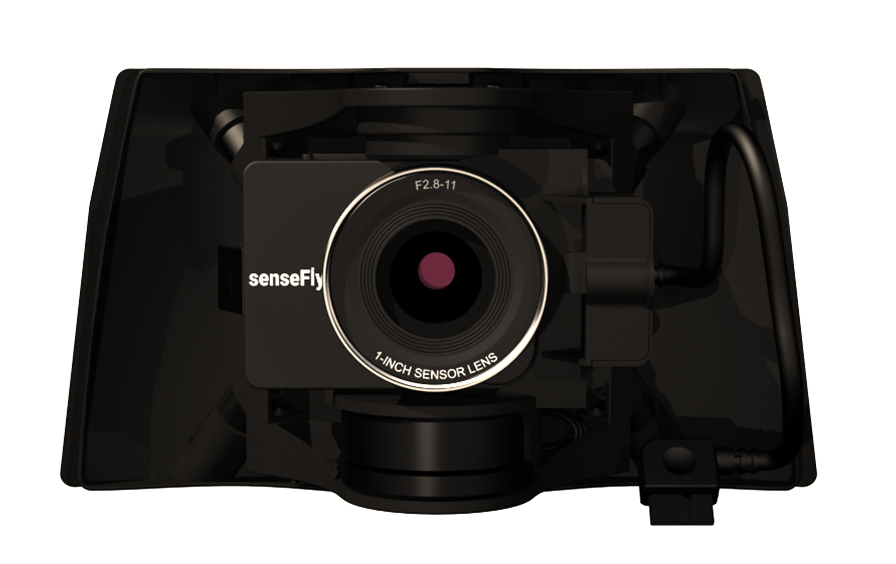
| Camera options | senseFly S.O.D.A. 3D, senseFly Aeria X, senseFly Duet T, Parrot Sequoia+, senseFly S.O.D.A., senseFly Corridor |
| Accessory options | Radio tracker, PingUSB (air traffic data receiver) |
Software |
|
| Flight & data management (included) | eMotion |
| Compatible image processing software | Pix4Dmapper/Pix4Dbim/Pix4Dfields (optional with eBee X), Agisoft PhotoScan, Esri Drone2Map, DroneDeploy, Trimble Business Center, Bentley ContextCapture |
| Image processing output compatibility | AutoCAD, ArcGIS, Trimble Business Center, Leica Geo Office, VAGNET Office Tools, ArcGIS, MicroStation & more |
Flight performance |
|
| Automatic 3D flight planning | Yes |
| Cruise speed | 40-110 km/h (11-30 m/s or 25-68 mph) |
| Wind resistance | Up to 46 km/h (12.8 m/s or 28.6 mph) |
| Max. flight time (w/o Endurance Extension) | 59 minutes |
| Max. flight time with Endurance Extension | 90 minutes |
| Automatic landing | Yes |
| Landing type | Linear landing with Steep Landing technology (5 m/16.4 ft accuracy in 35° angle cone) |
| Ground Control Points (GCPs) required? | No, with included High-Precision on Demand (RTK/PPK) |
| Hand launched | Yes |
Coverage and accuracy |
|
| Nominal coverage at 122 m (400 ft) | 220 ha (550 ac), with senseFly S.O.D.A. / no Endurance extension |
| Max. nominal coverage at 122 m (400 ft) | 500 ha (1,235 ac), with senseFly S.O.D.A. 3D / Endurance extension |
| Ground sampling distance at 122 m (400 ft) | 2.5 cm/px (1.0 in/px), with senseFly Aeria X |
| Absolute accuracy (RTK/PPK activated or w/GCPs) | Down to 3 cm (1.2 in) |
- 1x senseFly eBee x drone
- 1x RTK/PPK
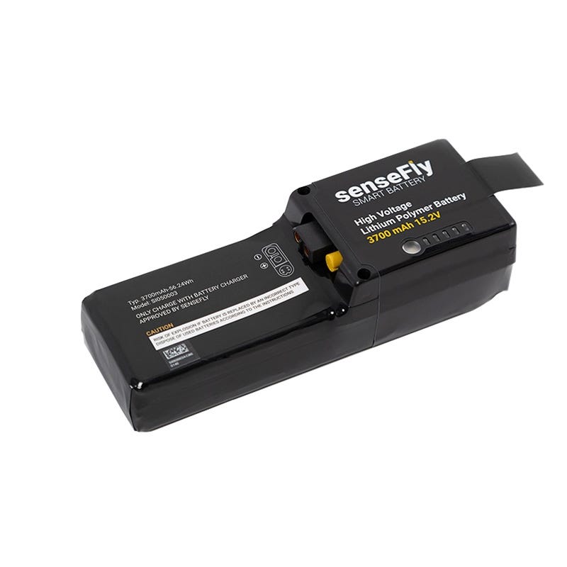
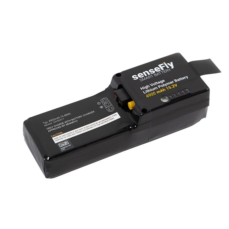
- 2x Endurance batteries
- 1x eMotion flight management software
- 1x Drone backpack
- 1x Battery charger and discharger
- 1x USB ground modem
- 4x Spare propellers
- 1x Pilot kit
Related Products
Check items to add to the cart or
Top customer reviews
No reviews
Write Your Own Review