🇺🇸 +1 877-299-1075 | Mon-Fri 7am-5pm PST
DSLRPros | Enterprise Drone Sales & Comprehensive Services

Drone Trends

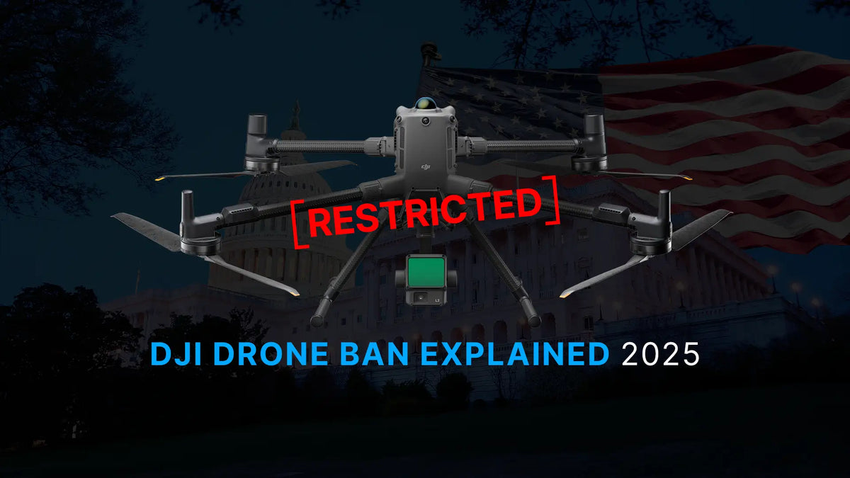
DJI enterprise drone illustrating the 2026 DJI drone ban and NDAA restrictions affecting public safety and enterprise drone operations.

A Complete Guide to the DJI Drone Ban 2026
UPDATE — August 2026: New FCC Drone Proposal Open for Public Comment As the U.S. regulatory landscape for foreign-produced drones continues to evolve, a new FCC proceeding could affect future access to certain foreign-produced drones and related technologies used in...

Read moreabout A Complete Guide to the DJI Drone Ban 2026

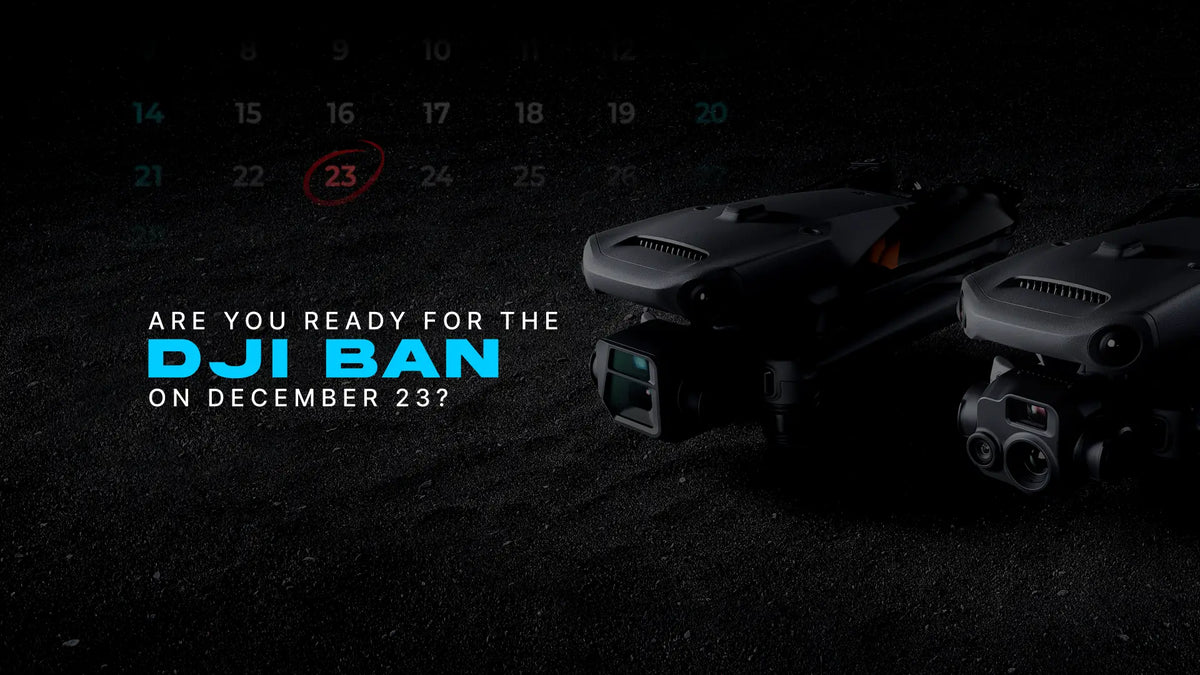
Minimalist header showing a drone silhouette and a December 23 deadline representing the incoming US DJI ban.

Are You Prepared for the DJI Ban 2025? What Every Agency Must Finalize Before December 23

The deadline is no longer distant. December 23 marks the start of the DJI ban’s real operational impact, and agencies that rely on DJI aircraft need a plan now—not later. The ban will not ground your current fleet, but it...

Read moreabout Are You Prepared for the DJI Ban 2025? What Every Agency Must Finalize Before December 23

Hybrid drone and solar security trailer providing 24/7 perimeter surveillance at an industrial site

Solar Security Trailers and Drone Surveillance Systems for 24/7 Site Protection
Sites need constant protection. Theft, vandalism, trespass, and safety incidents continue to rise across construction, utilities, transportation, and public safety operations. A solar security trailer handles part of the job, but fixed cameras alone cannot cover large or changing environments....

Read moreabout Solar Security Trailers and Drone Surveillance Systems for 24/7 Site Protection

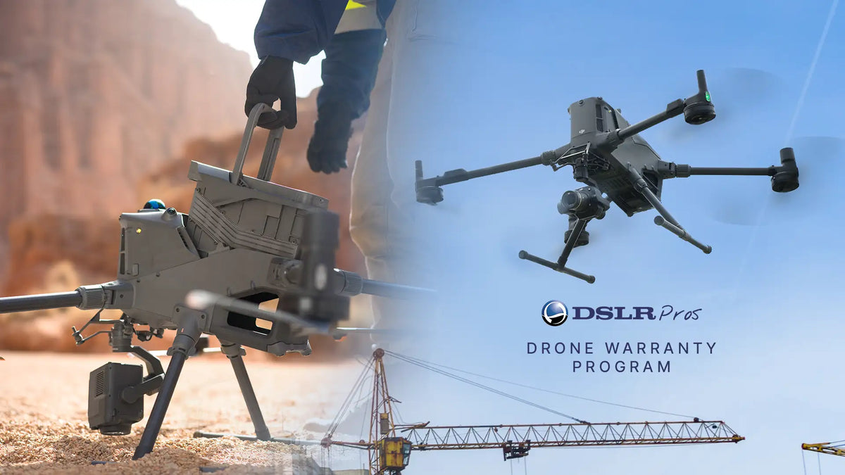
Enterprise DJI drone covered under DSLRPros warranty on industrial site.

DSLRPros Launches New Drone Warranty for Enterprise Fleets

DSLRPros has officially launched its new Drone Warranty Program for enterprise and commercial drone operators. The 13-month, retailer-backed plan provides coverage for crashes, water damage, and signal interference—offering fast, verified replacements without extra fees. This launch marks a major expansion of...

Read moreabout DSLRPros Launches New Drone Warranty for Enterprise Fleets

Quadcopter drone performing mountain mapping and terrain inspection flight

DJI Zenmuse L3 Sets a New Standard for Survey-Grade LiDAR Mapping
Introducing the New Standard in Aerial LiDAR DJI has officially launched the Zenmuse L3, a long-range LiDAR and RGB payload that raises the bar for aerial mapping and surveying professionals. Engineered for precision and speed, the Zenmuse L3 combines 1535...

Read moreabout DJI Zenmuse L3 Sets a New Standard for Survey-Grade LiDAR Mapping

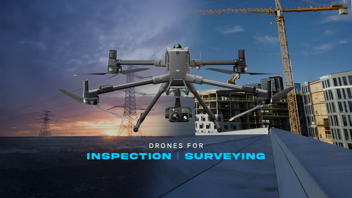
DJI Matrice 350 RTK drone for professional surveying, inspection, mapping, and infrastructure data collection.

Aerial Precision: How Drones Are Transforming Surveying and Inspection Workflows
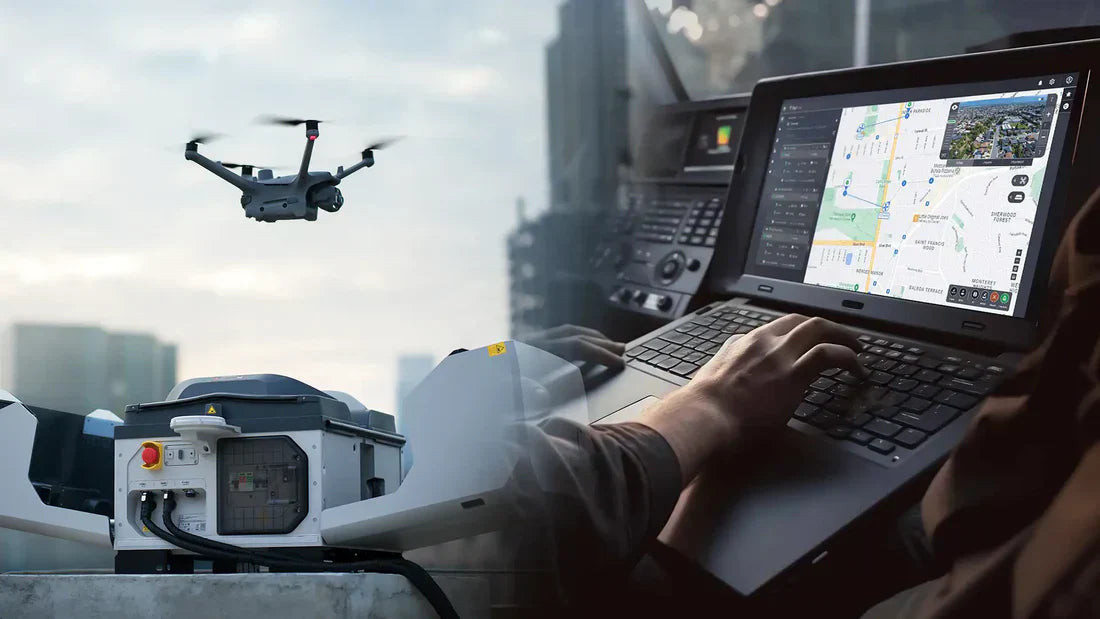
For decades, engineers relied on tripods, scaffolds, and manned aircraft to gather field data. The process was slow, costly, and risky, especially near power lines or unstable terrain. Aerial mapping drones have changed that. Modern UAV platforms equipped with RTK/PPK...

Read moreabout Aerial Precision: How Drones Are Transforming Surveying and Inspection Workflows

Drone mapping software comparison showing UAV in flight and 3D terrain data on screen."

Drone Mapping Software Compared: Pix4D vs DroneDeploy vs DJI Terra (2026)
For most users in 2026, Pix4D remains the best drone mapping software overall because it combines survey-grade photogrammetry, broad hardware compatibility, enterprise scalability, and long-term platform flexibility. DJI Terra is an excellent option for DJI-centric operations, but Pix4D serves a...

Read moreabout Drone Mapping Software Compared: Pix4D vs DroneDeploy vs DJI Terra (2026)

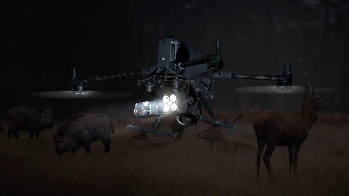
DJI Matrice 400 thermal drone detecting deer and wild hogs during a nighttime wildlife scouting and hunting mission.

DSLRPros Drone Bundles for Deer and Hog Hunting: Mission-Ready Kits for Every Hunter

Wild hogs aren’t just a nuisance. They can devastate entire fields in a single season. One study found feral pigs caused up to 9.2% damage in monitored cornfields, equal to 3,416 kg of lost grain per hectare. Meanwhile, deer hunters...

Read moreabout DSLRPros Drone Bundles for Deer and Hog Hunting: Mission-Ready Kits for Every Hunter
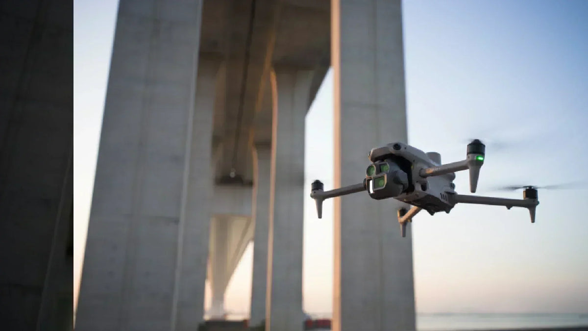
Drone performing bridge inspection with visible sensors during a wide-angle aerial shot, highlighting UAV use in infrastructure monitoring.

Drone Infrastructure Inspection for Bridges, Roads and Buildings
Critical infrastructure keeps society running: bridges, highways, high-rise buildings, power lines, and pipelines. All of these structures need routine inspection to ensure safety and prevent catastrophic failures. Traditional methods rely on scaffolding, cranes, or manual climbing—techniques that are slow, dangerous,...

Read moreabout Drone Infrastructure Inspection for Bridges, Roads and Buildings

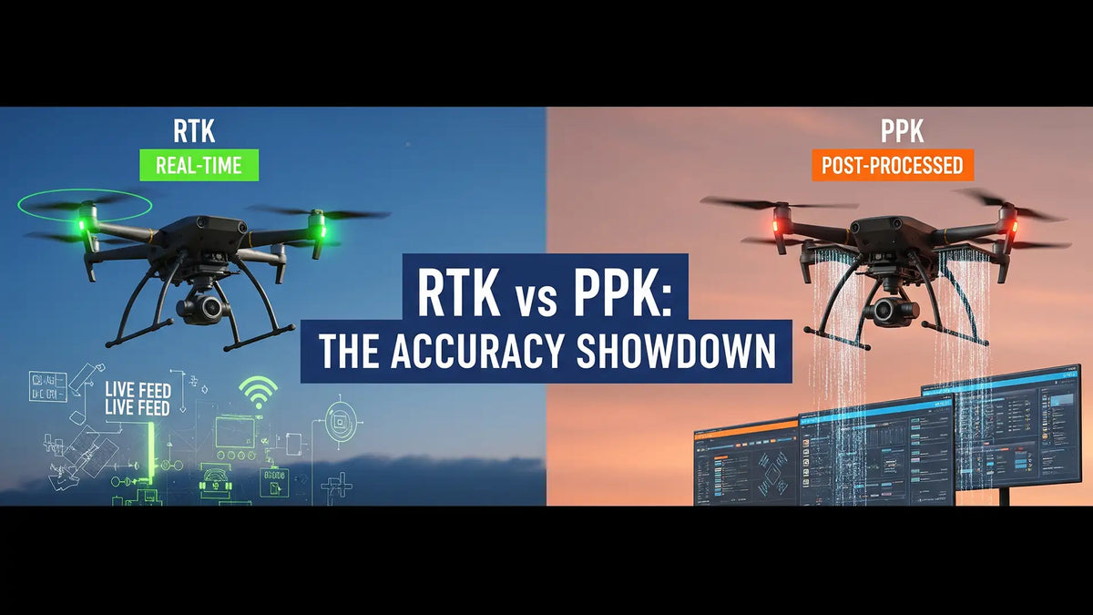
RTK vs PPK drone accuracy comparison visual showing real-time corrections vs post-processed workflow in UAV surveying

PPK vs RTK in Drone Mapping Explained
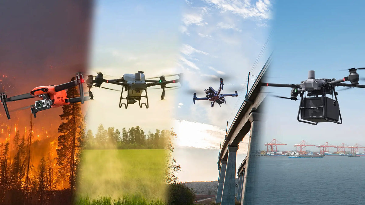
When drone operators talk about accuracy, they’re not debating meters—they’re debating centimeters. Standard GPS signals from satellites can drift off target by several feet, which is unacceptable for high-stakes missions like surveying, mapping, or public safety. That’s where advanced GNSS correction...

Read moreabout PPK vs RTK in Drone Mapping Explained

Collage of BVLOS drones in public safety, agriculture, infrastructure inspection, and delivery operations

FAA BVLOS NPRM Under Part 108 – Complete Guide for Drone Buyers and Ops Teams
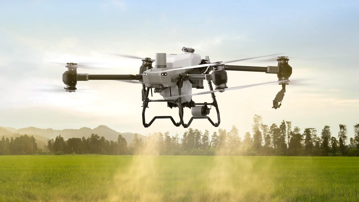
The FAA’s long-anticipated Notice of Proposed Rulemaking (NPRM) for Part 108 is here. For the first time, Beyond Visual Line of Sight (BVLOS) operations are moving toward a clear legal path—one that will impact every buyer, every operations team, and...

Read moreabout FAA BVLOS NPRM Under Part 108 – Complete Guide for Drone Buyers and Ops Teams

Agricultural spraying drone applying crop protection products over farmland for precision agriculture and field management.

Top 10 Crop Spraying Drones of 2025: Reviews, Comparisons, and Buying Guide

In 2024, we featured The Top 7 Crop Spraying Drones that set the standard for aerial application. Now we’re back with an updated list—bigger, smarter, and built for the demands of 2025.  Crop spraying is getting smarter—and if your current...

Read moreabout Top 10 Crop Spraying Drones of 2025: Reviews, Comparisons, and Buying Guide

Business leaders reviewing global trade policies affecting drone supply chains, sourcing strategies, and international markets.

The Impact of Tariffs and Geopolitical Challenges on the Drone Industry

The drone industry has become a backbone technology for industries like energy, construction, agriculture, and public safety. But as demand for drones grows, so does the geopolitical risk. Trade tensions between the U.S. and China—most notably, Section 301 tariffs and...

Read moreabout The Impact of Tariffs and Geopolitical Challenges on the Drone Industry

Urban highway at night illustrating drone-assisted traffic monitoring, congestion management, and public safety operations.

Drones For Traffic Control, And 11 Police Departments Already Ahead
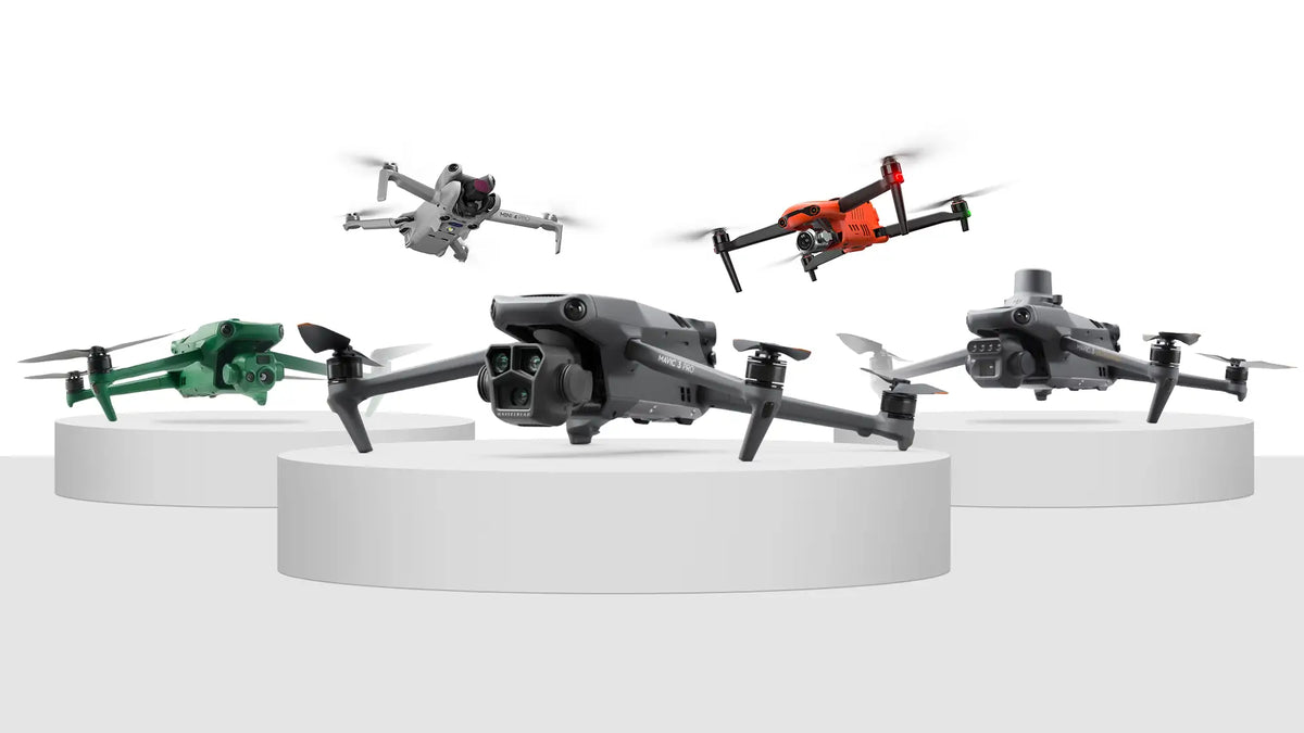
Historically, drones have been used by the military for reconnaissance and combat purposes, but their utility has expanded to public safety applications, including traffic monitoring by police departments. State agencies began experimenting with drones for such purposes in the mid-2000s....

Read moreabout Drones For Traffic Control, And 11 Police Departments Already Ahead

Comparison of the top long-range drones with cameras for aerial photography, inspection, mapping, and enterprise drone operations.

Top 10 Long Range Drones with Cameras in 2024: Reviews & Feature Breakdown

A long-range drone is typically defined by its ability to operate at extended distances from the controller, making it ideal for capturing footage in remote or difficult-to-access areas. These drones are equipped with powerful transmission systems to maintain a reliable...

Read moreabout Top 10 Long Range Drones with Cameras in 2024: Reviews & Feature Breakdown

Blog Categories
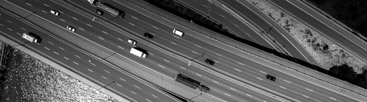
Drone to the Rescue

Drone to the Rescue

Explore how drones are saving lives and solving real-world problems, from search-and-rescue missions to disaster relief operations.

Explore

Learning Center

Learning Center

Your go-to hub for drone knowledge! Learn tips, tricks, and best practices to master your drone skills.
Explore

Enterprise Products

Enterprise Products

Discover advanced drones and tools tailored for businesses, public safety, and industrial applications.

Explore

Drone Trends

Drone Trends

Stay ahead with the latest drone innovations, industry news, and emerging technologies shaping the future.

Explore