🇺🇸 +1 877-299-1075 | Mon-Fri 7am-5pm PST
DSLRPros | Enterprise Drone Sales & Comprehensive Services

Drone Trends

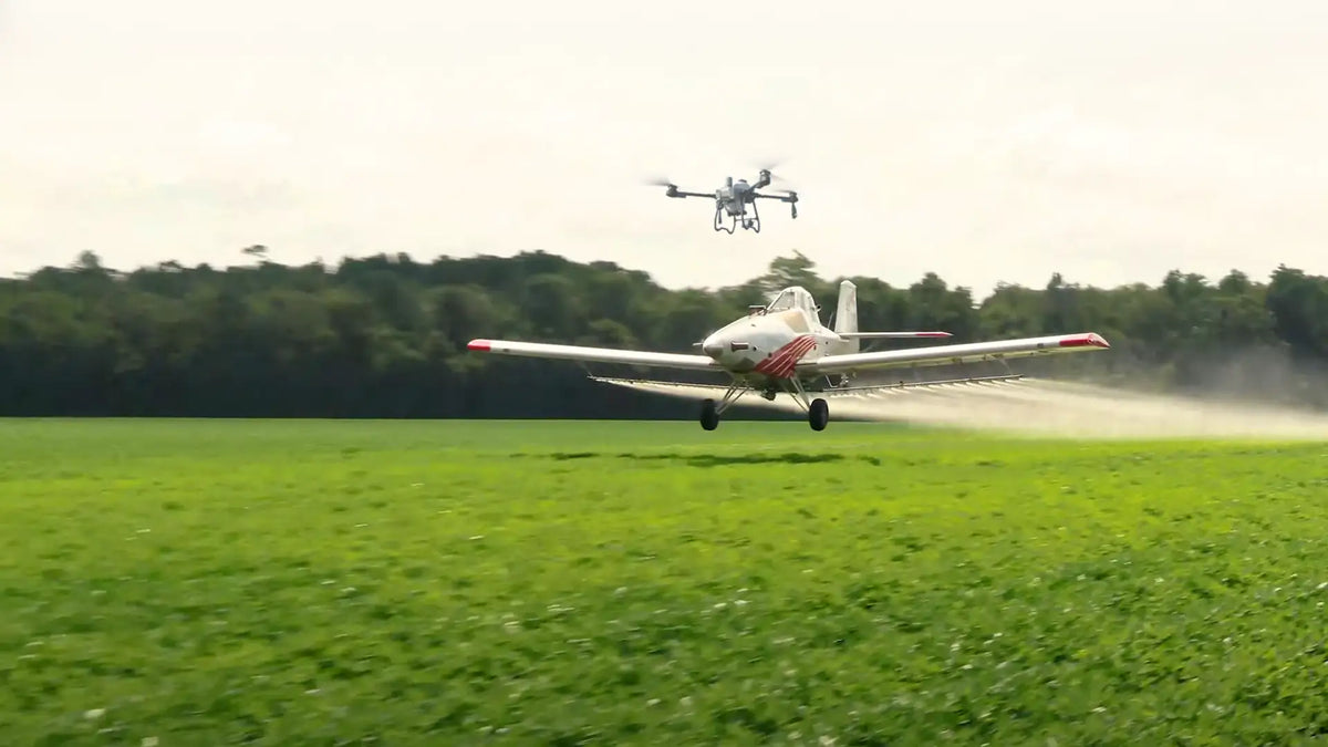
Agricultural drone flying near a crop duster aircraft, highlighting safe drone operations around agricultural fields and aerial spraying activities.

Drone Safety- NAAA Warning For Operations Near Agricultural Fields

America's growing season is here, running from the frost-free days of spring to the cool onset of fall. As farmers take care of their corn, soybeans, wheat, cotton and the likes, various aircraft are used, especially crop dusters. These nimble...

Read moreabout Drone Safety- NAAA Warning For Operations Near Agricultural Fields

DJI Avata 2 FPV drone flying beside a pilot wearing DJI Goggles for immersive first-person flight and cinematic aerial video capture.

DJI Avata 2 Review: Blurring the Lines Between Sky and Cinema with FPV Flight

Back in August 25, 2022, the DJI Avata came onto the stage, and it’s been a massive hit since then – especially in the world of first-person view (FPV) drones. Fast forward to April 11, 2024, and DJI rolled out...

Read moreabout DJI Avata 2 Review: Blurring the Lines Between Sky and Cinema with FPV Flight

Homeowner observing a drone flying near a residential property, illustrating drone privacy laws, personal space, and responsible drone operations.

The Thin Air of Privacy: Drone Laws, 3 Court Cases, and the Fight for Personal Space

Tech advancements with camera drones, long range units and even FPV (first-person-view) models have made them more affordable, versatile, and accessible to the general public.  Now, everyone from the police to your neighbor who loves tech might be flying one....

Read moreabout The Thin Air of Privacy: Drone Laws, 3 Court Cases, and the Fight for Personal Space
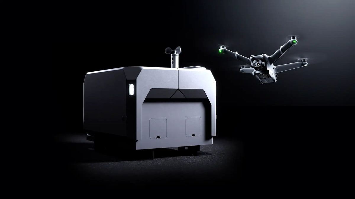
DJI Dock 2 autonomous drone dock with DJI Matrice 3D drone for remote inspections, security, mapping, and enterprise drone operations.

DJI Dock 2: An Inside Look And Feature Breakdown

DJI continues to make ground on automating drone operations – as seen with the just released DJI Dock 2. With its lightweight, cost-effective design, and compatibility with the DJI FlightHub 2, it is poised to transform daily operations across fields...

Read moreabout DJI Dock 2: An Inside Look And Feature Breakdown

Collection of DJI drones with built-in internal storage for aerial photography, videography, inspection, and enterprise applications.

Top Picks: The 6 Best DJI Drones with Internal Storage in 2024
There are situations where you don’t want to keep worrying about running out of storage space or dealing with the hassle of external memory cards. Take filmmakers working on location for instance. Drones used here need to be suitable for...

Read moreabout Top Picks: The 6 Best DJI Drones with Internal Storage in 2024

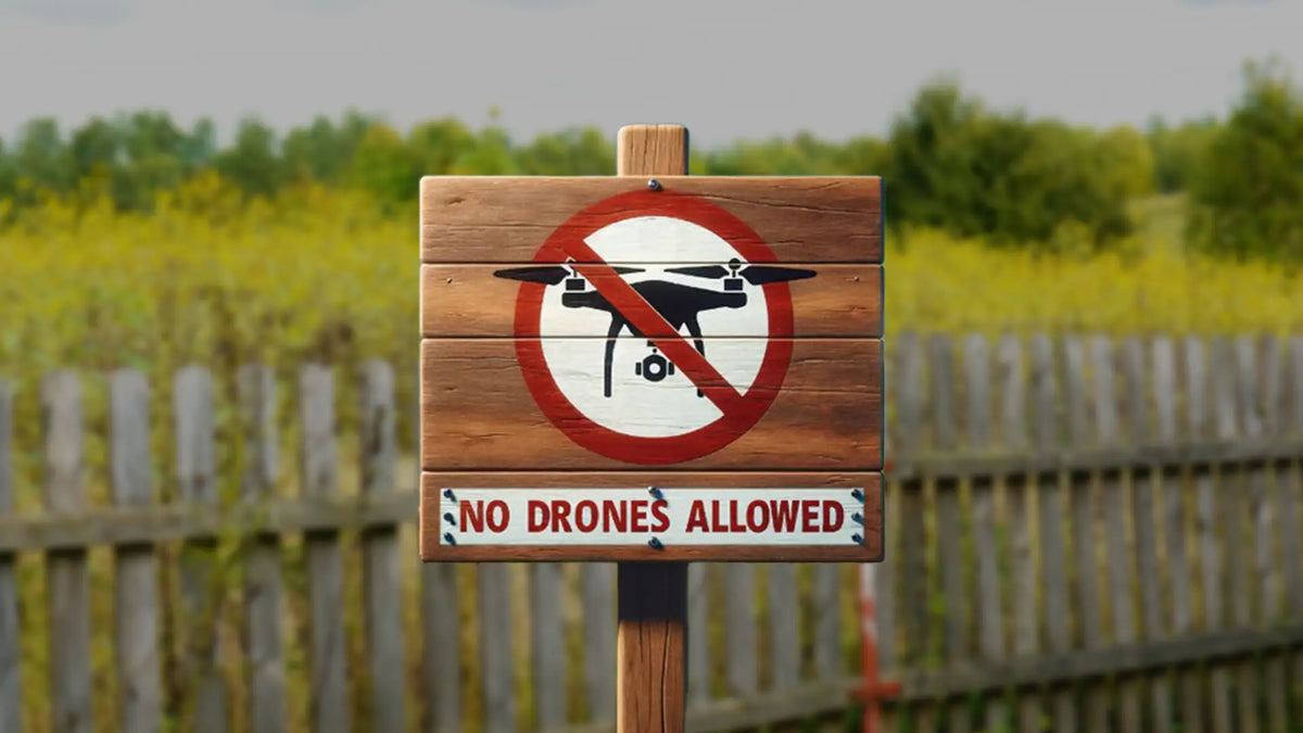
No drones allowed sign marking a restricted airspace area to promote drone safety, regulatory compliance, and public safety awareness.

Drones & Restricted Airspace: Growing Concerns Over Activity In Protected Spaces [A DSLRPros Op-Ed]
Drones are great. No argument there. The visuals, the flexibility, tech that is beneficial for everyone from hobbyists to commercial users and public safety agencies – they are increasingly becoming a part of our airspace. However, not everyone sticks to...

Read moreabout Drones & Restricted Airspace: Growing Concerns Over Activity In Protected Spaces [A DSLRPros Op-Ed]

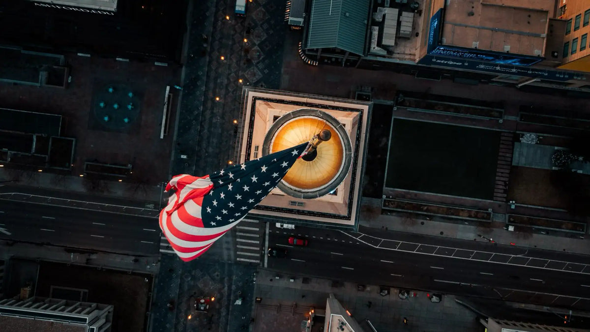
Aerial view of an American flag representing FAA Remote ID compliance, U.S. drone regulations, and the evolving drone industry.

FAA's Remote ID Rule for Drones: Update After March 2024 Deadline Passed

It was initially announced and compliance expected from September 2023  It was delayed for 6 months. And now it’s in force.  It’s been a timeline filled with plenty of back and forth. With the non-enforcement period of Federal Aviation Administration...

Read moreabout FAA's Remote ID Rule for Drones: Update After March 2024 Deadline Passed

Burbank Police officers operating a drone controller during a public safety mission to support law enforcement and emergency response operations.

The New Guardians: Seven Police Departments Spending At Least $20,000 For Their Drone Programs
Autel Evo II in action in Miami Township Law enforcement agencies are constantly seeking innovative solutions to give them the edge in their operations and ensure the safety of their officers and the communities they serve. Unmanned Aerial Vehicles (UAVs)...

Read moreabout The New Guardians: Seven Police Departments Spending At Least $20,000 For Their Drone Programs

Farmer using the DJI SmartFarm app on a tablet to manage field operations, crop monitoring, and precision agriculture with a tractor in the background.

9 Things You Can Do With DJI SmartFarm, Your Ultimate Farming Companion
Fields with their horizon stretching out, farmers toiling from dawn to dusk to deliver the crops that feed the nation….they are the backbone of civilization as we know it. However, the farmers are faced with challenges ranging from predictable weather...

Read moreabout 9 Things You Can Do With DJI SmartFarm, Your Ultimate Farming Companion

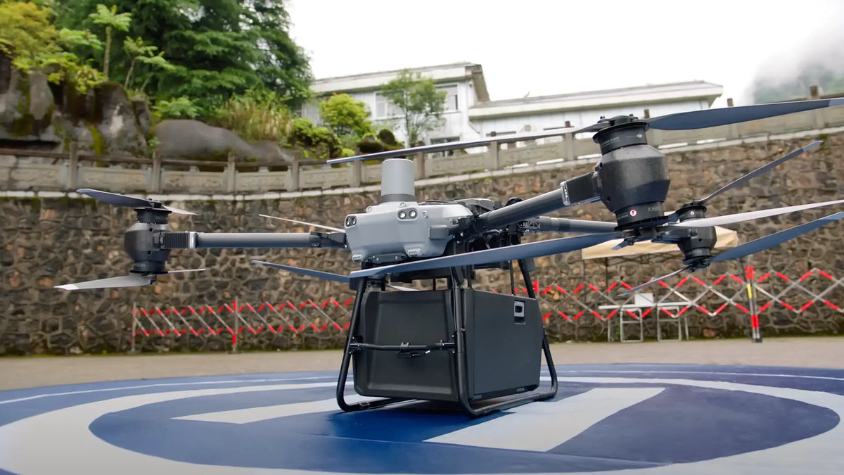
DJI FlyCart 30 delivery drone carrying a cargo box on a landing pad, showcasing heavy-lift aerial logistics for enterprise and commercial delivery operations.

Drones In Delivery: Wings of Change And The New DJI FlyCart 30 Era

Deliveries are seeing more and more drones take center stage. Walmart made headlines when it reported over 6,000 drone deliveries in 2022, with the retail giant's going full throttle in drones into its logistics operations. The Asia-Pacific region leads in...

Read moreabout Drones In Delivery: Wings of Change And The New DJI FlyCart 30 Era

Crop-spraying drone flying over agricultural field.

The Top 7 Crop Spraying Drones of 2024: Guide & Reviews
This article was originally written in 2024, but if you’re looking for the latest models, updated comparisons, and expanded insights, check out our 2025 crop spraying drone guide. Welcome back! In this series covering agriculture drones, we’ve already gone over...

Read moreabout The Top 7 Crop Spraying Drones of 2024: Guide & Reviews

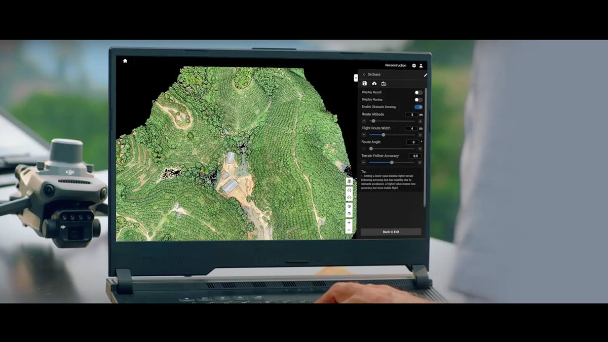
A laptop displays aerial terrain mapping software with an overhead view of green landscape. A drone is placed next to the laptop.

Farmer’s Toolkit: Guide To The Top 4 Drones For Crop Monitoring in 2024
Age-old farming traditions have been changed in ways our forebears could barely imagine. Drones in agriculture are now used for 3 main kinds of tasks: crop management, soil and field analysis, and livestock monitoring. Each has its own requirements, and...

Read moreabout Farmer’s Toolkit: Guide To The Top 4 Drones For Crop Monitoring in 2024

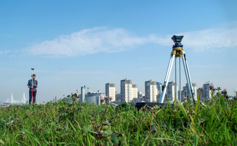
Drone performing cadastral surveying and land management with high-accuracy aerial mapping, property boundary identification, GIS data collection, and surveying workflows.

Smart Mapping: Drones in the World of Cadastral Surveying and Land Management

Cadastral surveying has been instrumental in shaping societies by clearly demarcating land parcel boundaries, helping everyone know who owns what, and how much it's worth.  This practice, rooted in land law, focuses on land tenure, ownership, and rights, playing a...

Read moreabout Smart Mapping: Drones in the World of Cadastral Surveying and Land Management

A sleek drone with four propellers hovers over a barren, rocky landscape against a clear blue sky, conveying a sense of advanced technology and exploration.

The Wait is Over! Autel Alpha Finally Available - Review, Feature Insights and What to Expect

Autel Robotics, one of the drone industry’s biggest names, is back with another release targeting enterprise users. This UAV is set to be a hit, especially with all the anticipation that has been building up for it since mid-2023: the...

Read moreabout The Wait is Over! Autel Alpha Finally Available - Review, Feature Insights and What to Expect

DJI Modify software used for aerial surveying with advanced editing tools, mapping software integration, 3D model refinement, and professional geospatial data processing.

5 Ways DJI Modify is Transforming Aerial Survey Workflows

Drones have been an asset for survey and mapping tasks for years. No doubt about that. Flying through swathes of land within a fraction of time that would take other methods like theodolites and leveling staff. Post-collection, the model editing...

Read moreabout 5 Ways DJI Modify is Transforming Aerial Survey Workflows

Blog Categories

Drone to the Rescue

Drone to the Rescue

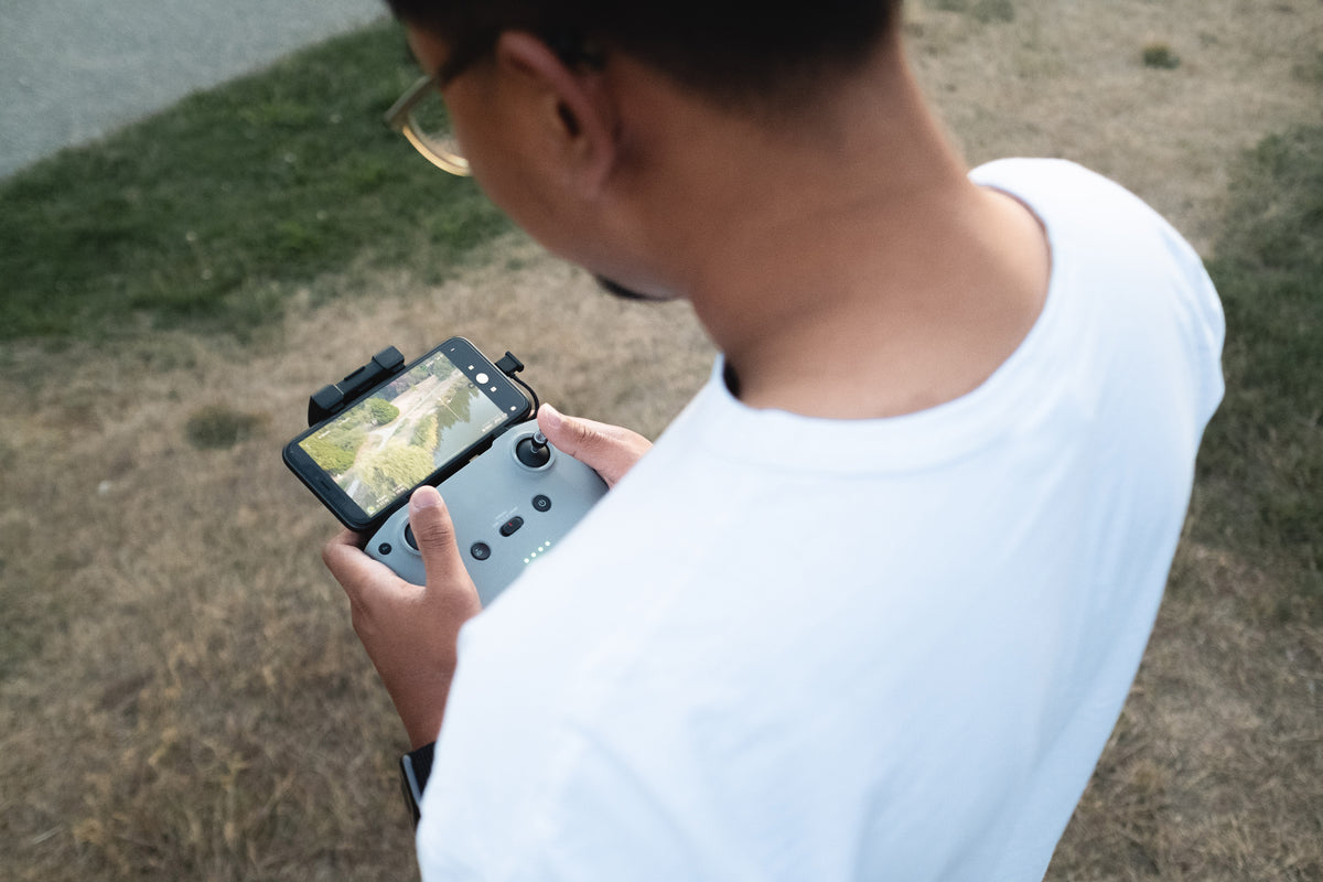
Explore how drones are saving lives and solving real-world problems, from search-and-rescue missions to disaster relief operations.
Explore

Learning Center

Learning Center

Your go-to hub for drone knowledge! Learn tips, tricks, and best practices to master your drone skills.
Explore

Enterprise Products

Enterprise Products

Discover advanced drones and tools tailored for businesses, public safety, and industrial applications.
Explore

Drone Trends

Drone Trends

Stay ahead with the latest drone innovations, industry news, and emerging technologies shaping the future.

Explore