
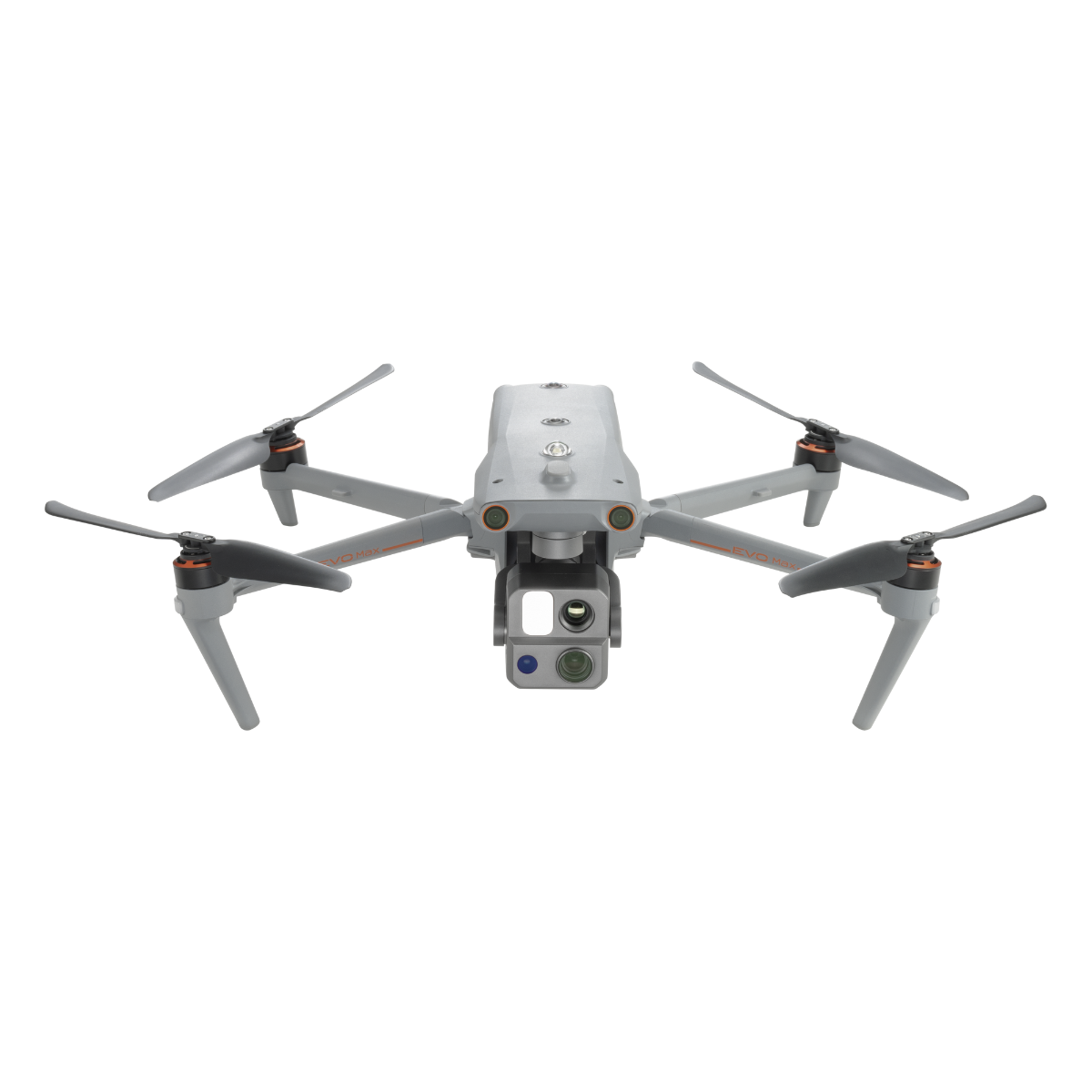
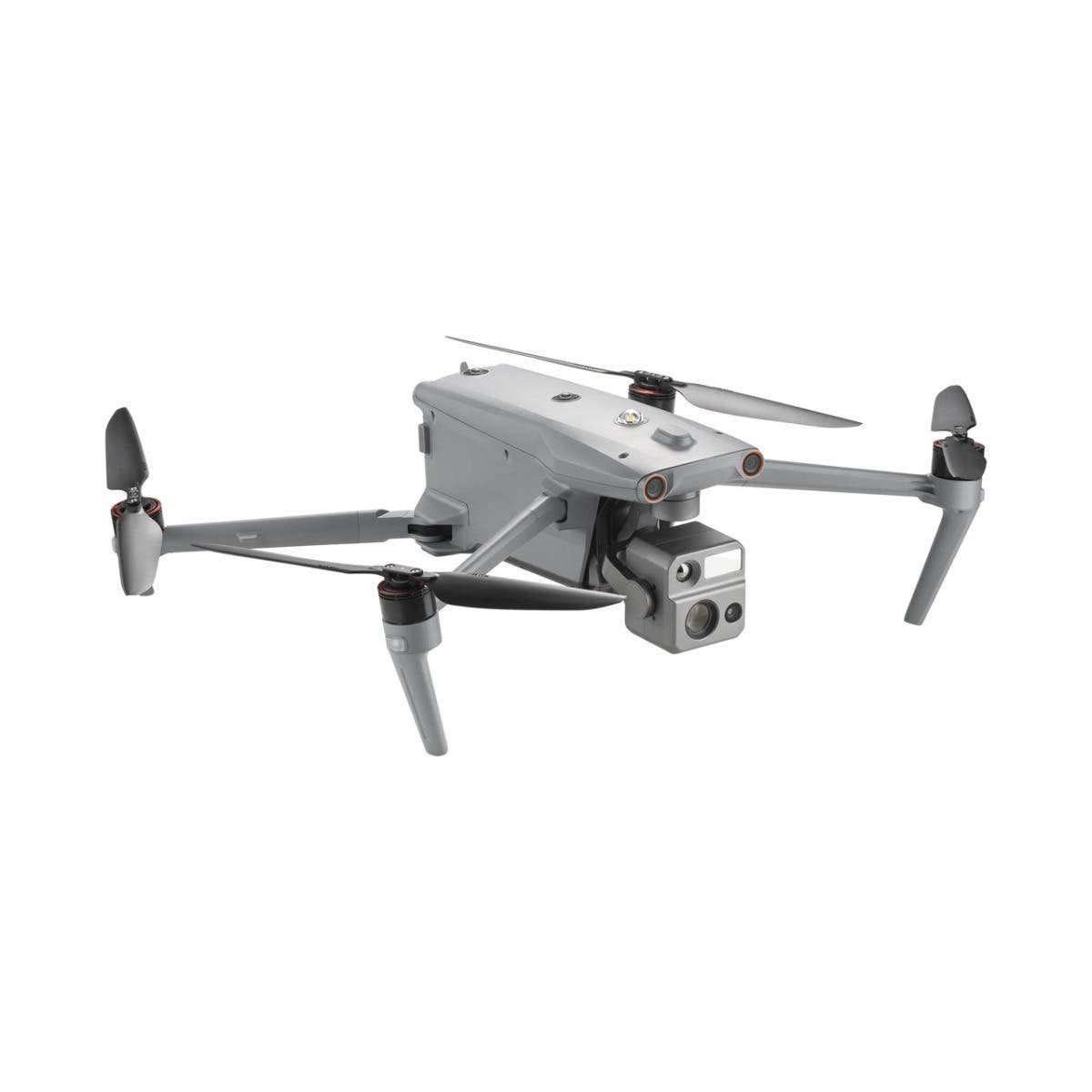
Autel Mapper Perpetual
Vendor Part Number
V-AR-MAPPER-PERP
$3,599.00
- Professional mapping: Offers both 2D and 3D reconstruction with high accuracy.
- AI-powered: Utilizes deep learning algorithms for rapid and precise results.
- Flexible processing: Supports both cloud and local data processing options.
- Real-Time capabilities: Streams real-time images for immediate 2D stitching.
- Advanced aerial triangulation: Handles large volumes of data from different camera types.
- Quick stitching: Fast batch processing for 2D maps and renderings.
- Intuitive workflow: Easy to use, ensuring swift project immersion without being overwhelming.
- Cloud ready: Enhanced speed and efficiency with cloud processing.
- High precision: Meets the 1:500 precision requirement without GCPs.
- Versatile applications: Ideal for public safety, search and rescue, surveying, and powerline inspection.
In stock & ready to ship
OR


Autel Mapper Perpetual
Autel Mapper Perpetual is a premier PC model reconstruction software, engineered for generating high-precision 2D and 3D models from drone imagery. By integrating deep learning with traditional algorithms, it delivers unmatched efficiency and quality in reconstruction for sectors like surveying, mapping, security, inspection, transportation, and construction. This perpetual license ensures users have continuous access to the software without the need for subscription renewals.
Features and Benefits
-
Unparalleled Speed and Accuracy: Utilizes advanced AI deep-learning algorithms for rapid and accurate map processing, setting a benchmark in model and map fidelity, especially for small object reconstructions.
-
Enhanced 3D Reconstruction: Offers improved 3D model completeness through a mix of traditional and deep learning algorithms, with selectable reconstruction quality levels to suit various industry needs.
-
Precise 2D Reconstruction: Features deep learning technology for scenario-specific AI algorithm adaptation, meeting the 1:500 precision requirement in surveying and mapping without GCPs.
-
Advanced Aerial Triangulation: Supports an array of camera types and employs intelligent processing for handling large datasets, ensuring efficient data management across different resolutions and heights.
-
Immediate Real-time 2D Stitching: Allows for the streaming of real-time drone imagery for on-the-fly 2D stitching, providing operators with immediate data for workflow adjustments.
-
Efficient Quick Stitching: Facilitates batch image imports from Autel drones, swiftly generating 2D maps and renderings with sophisticated image processing algorithms.
-
Flexible, Scalable Solutions: Easy import/export capabilities, alongside networking and cloud functionalities, offer scalable solutions for any project size.
-
Intuitive, User-Friendly Workflow: Designed for ease of use, allowing users to fully engage in their projects confidently and without complexity.
-
Cloud-Enhanced Productivity: Boosts output and rendering speeds with cloud computing, significantly reducing project turnaround times.
Applications
Ideal for public safety, search and rescue, surveying and mapping, and powerline inspection, among other applications.
Quality Rebuild and System Requirements
Offers robust 2D & 3D mapping capabilities, aerial triangulation, and quality evaluations. Requires Windows 10 or later (64-bit), with recommended hardware specifications for optimal performance.
Autel Mapper Specifications
Operating System & Type
| Specification | Details |
|---|---|
| Operating System | Windows 10 or later (64-bit) |
| Type | 2D/3D Reconstruction |
Computer Specifications
| Specification | Minimum | Recommended |
|---|---|---|
| CPU | Intel Core i5 8 series or AMD Ryzen 5 3000 series | Intel Core i7 11 series or newer or AMD Ryzen 7 5000 series or newer |
| GPU | NVIDIA GeForce GTX1070 | NVIDIA GeForce RTX 2080 Ti or higher |
| VRAM | 6GB | 8GB or higher |
| RAM | 16GB | 32GB or higher |
| Storage | 200GB of usable hard drive space | 256GB SSD + 2TB Enterprise HDD |
| Display | 1280x1024 | 1920x1080 or higher |
Function and Performance Specifications
| Feature | Specification | Details |
|---|---|---|
| 3D Reconstruction | Standalone Task | 500 images/1GB free memory |
| Standalone Time Required | 10,000 images in 18 hours | |
| Accuracy | Centimeter level (1:500 mapping accuracy) | |
| Output Format | B3DM, OSGB, OBJ, PLY | |
| 2D Reconstruction | Standalone Task | 500 images/1GB free memory |
| Standalone Time Required | 8000 sheets in 6 hours | |
| Accuracy | Centimeter level (1:500 mapping accuracy) | |
| Output Format | GeoTIFF | |
| Quick Stitching | Output Format | DOM, DSM, 2.5D visualization |
| Supported Output Platforms | App, Autel SkyCommand Center, third-party platforms | |
| Stitching Methods | On-the-fly stitching, Rapid processing | |
| Aerial Triangulation | Pass Rate | 0.98 |
| Dense Point Clouds | Output Format | PNTS, LAS, XYZ |
| Rebuild Optimization | KML Import Support | √ |
| Model Reconstruction Processing | √ | |
| Camera Parameters | √ | |
| Image POS Data Management | √ | |
| Ground Control Point (GCP) Management | √ | |
1x Autel Mapper Perpetual subscription
Related Products
Check items to add to the cart or
-
-
 Autel Evo II 640T Drone - Rugged Bundle V2 with FREE Battery
As low as $4,499.00 Regular Price $5,500.00
-

-

Top customer reviews
No reviews
Write Your Own Review