


Professional Drones & UAV Solutions


Professional Drones for Your Business
BEST SELLING DRONES
-
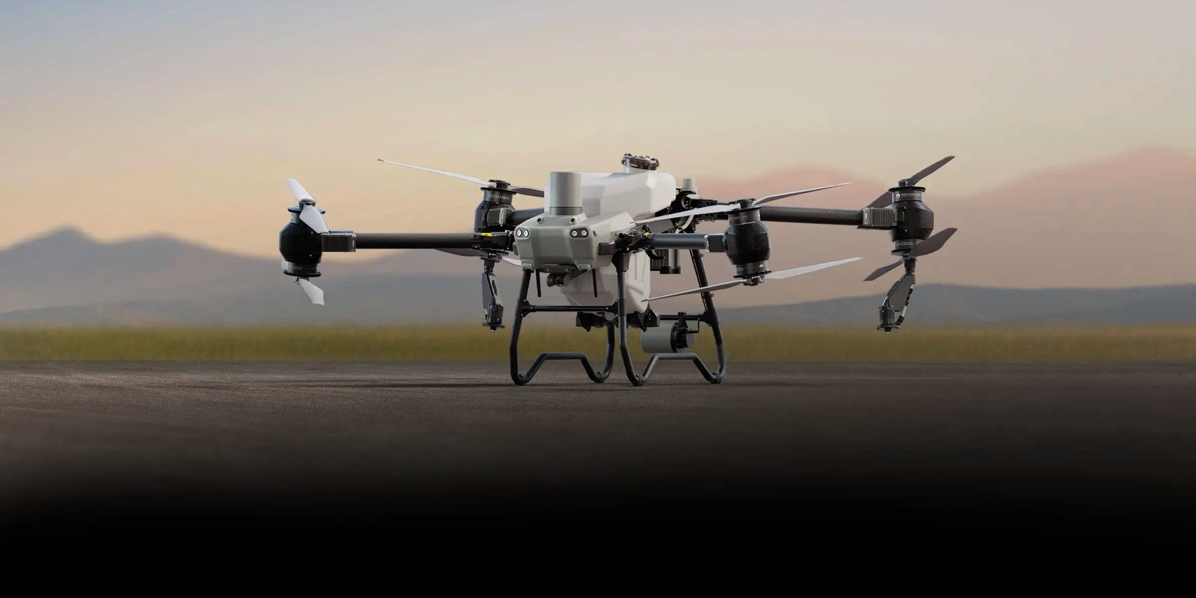
DJI Matrice 400 with BS100 Battery Station + TB100 Intelligent Flight Battery
Regular price $14,274.00Regular priceUnit price per -
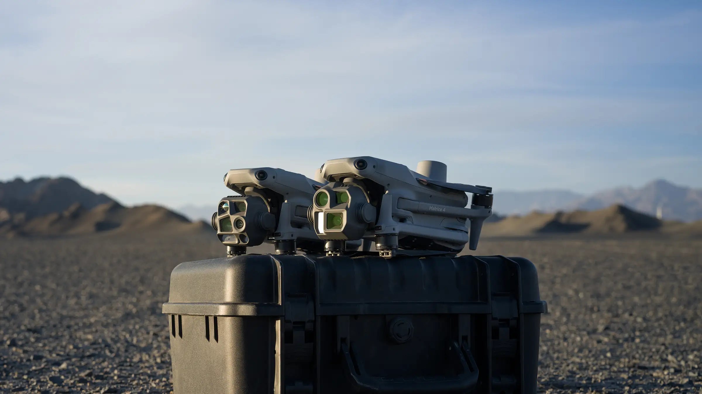
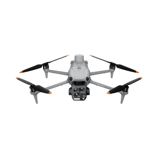
DJI Matrice 4T Universal Edition
Regular price $7,799.00Regular priceUnit price per -
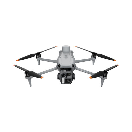
DJI Matrice 4E Universal Edition
Regular price $5,099.00Regular priceUnit price per$5,249.00Sale price $5,099.00Sale -
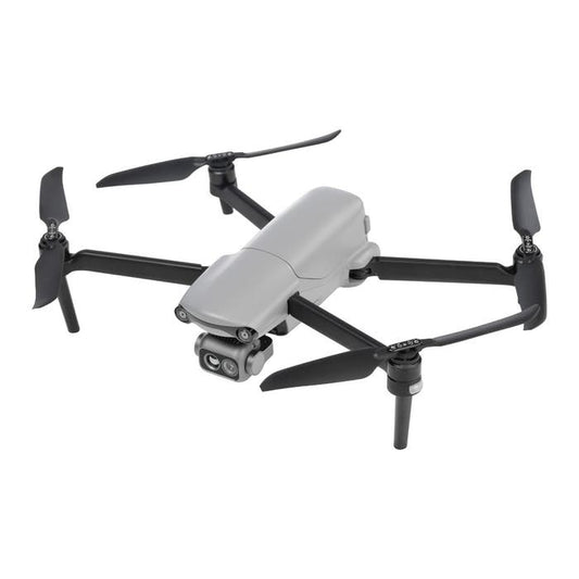
DJI Matrice 4TD (Aircraft Only)
Regular price $7,640.00Regular priceUnit price per -
ACSL SOTEN Inspection Package
Regular price $16,940.00Regular priceUnit price per -
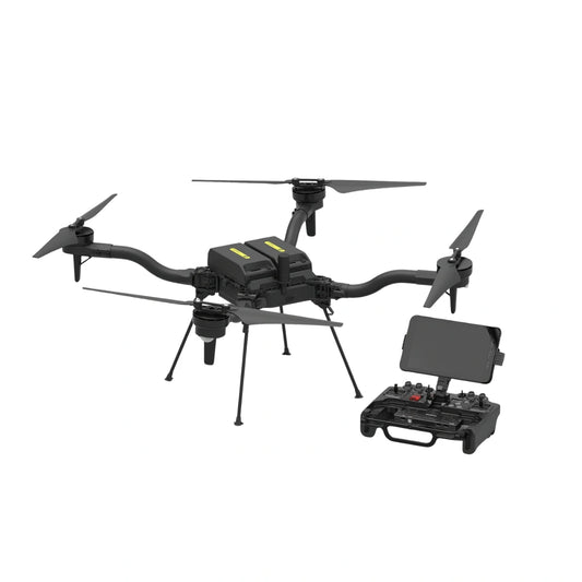
Freefly Astro Max Aircraft
Regular price $22,995.00Regular priceUnit price per -
Autel EVO Lite 640T Enterprise 7.9in Controller Premium Package
Regular price $4,239.00Regular priceUnit price per$4,239.00Sale price $4,239.00 -
DJI Agras T50 Spraying Drone
Regular price $15,699.00Regular priceUnit price per$16,899.00Sale price $15,699.00Sale -
DJI Avata 2 Fly More Combo (3 Batteries)
Regular price $1,395.00Regular priceUnit price per$1,499.00Sale price $1,395.00Sale


The Best Professional Drone Packages & Training Courses
UAV SOLUTIONS BY INDUSTRY
-
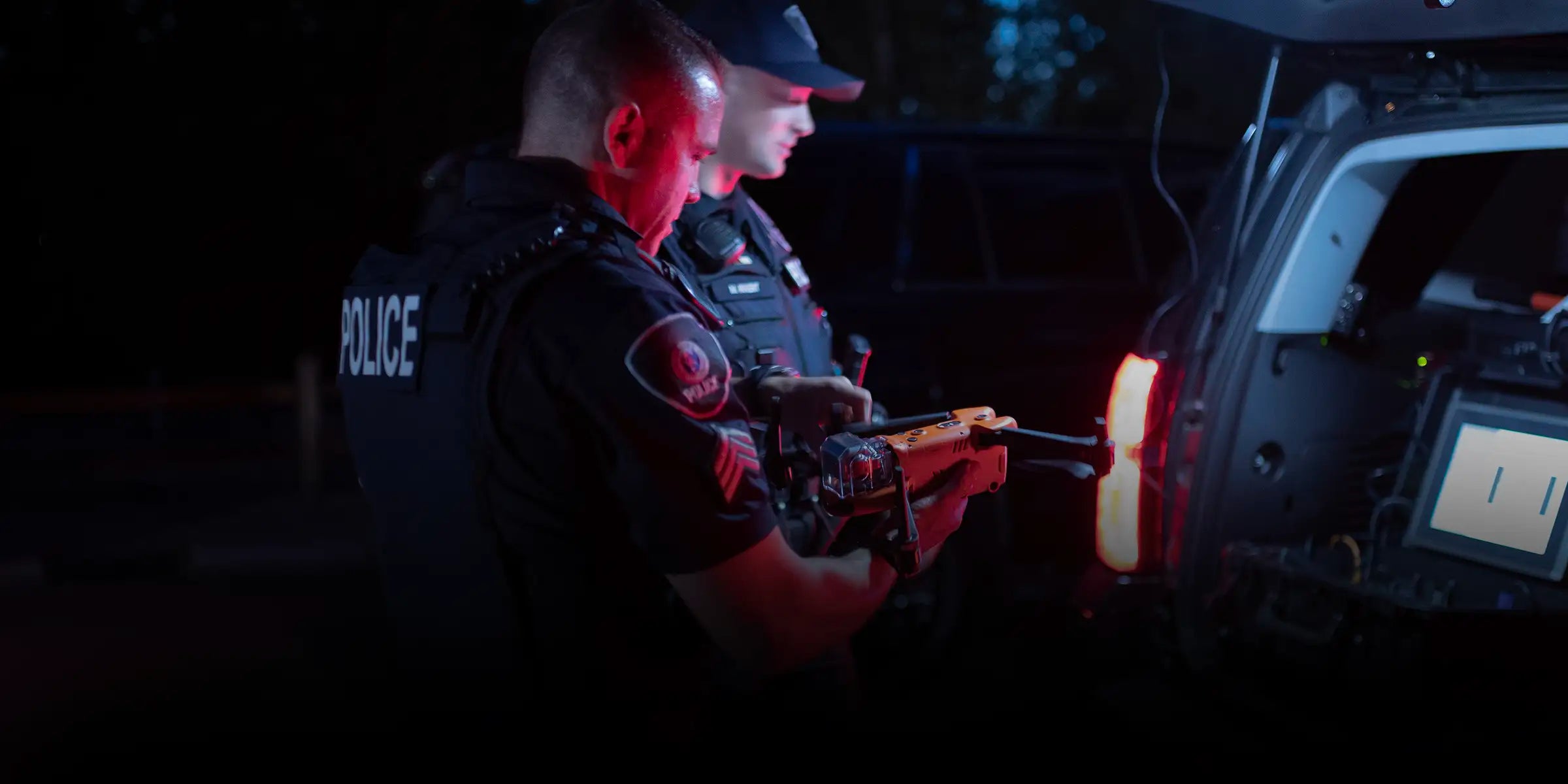
Public Safety Drones
-

Energy and Utilities Drones
-
Agriculture and Farming Drones
-
Drones for Construction and Survey Projects


Drone Trends
-

DSLRPros Expands LiDAR Mapping Capabilities Through GeoCue Partnership
DSLRPros is now a distribution partner of GeoCue, delivering TrueView LiDAR systems and LP360 software to customers across the United States. This strengthens access to established LiDAR mapping tools used in surveying, utility inspection, and public safety operations. TrueView systems capture LiDAR data in the field. LP360 software processes that data into structured outputs for mapping and analysis. Together, they...
-

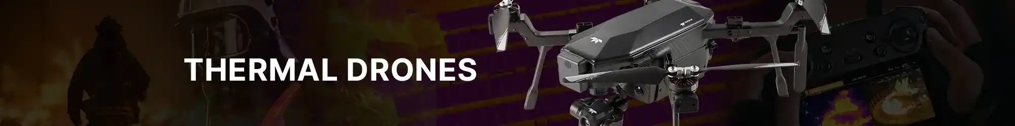
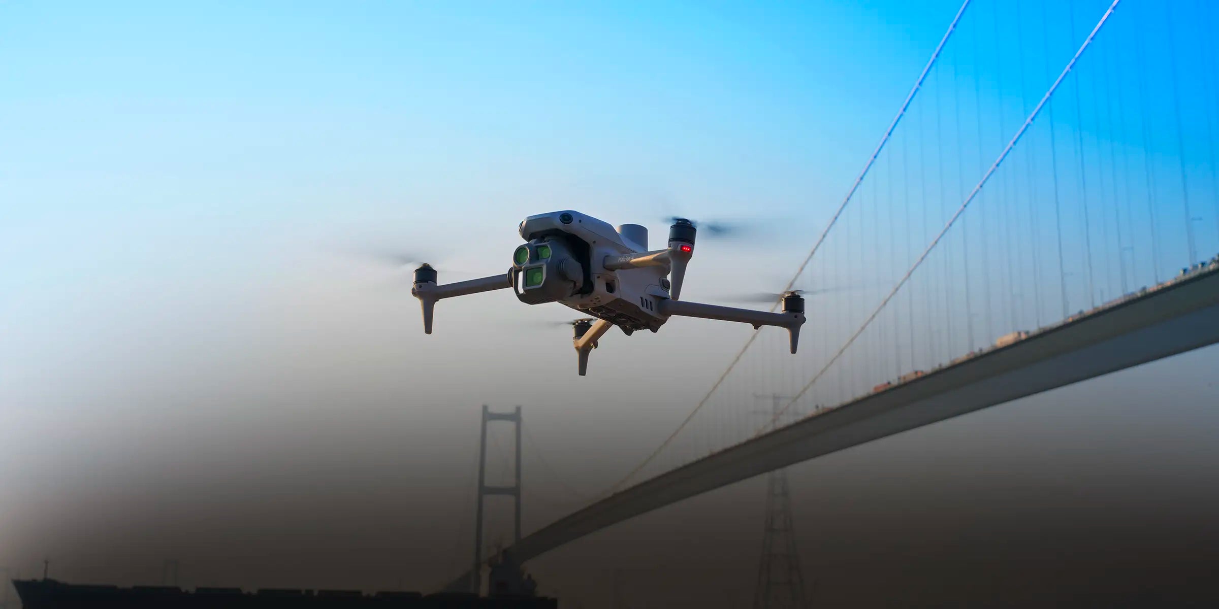
Top 5 Thermal Drones for Public Safety, SAR, and Industrial Operations in 2026
Why Thermal Drones Are Becoming Standard Equipment for Field Operations During nighttime operations, wildfire response, or industrial inspections, critical information often exists beyond what standard cameras can capture. Thermal sensors reveal heat signatures that help locate missing persons, identify hotspots, and detect equipment issues early. Thermal drones are now widely used by: fire departments search and rescue teams infrastructure inspection...
-

What the FCC Update Means for Police DFR Programs Using DJI in 2026
If you oversee a Drone as First Responder (DFR) program, your DJI aircraft are not grounded in 2026. They remain deployable for active response. They remain authorized for flight. The recent updates tied to the FCC’s Covered List enforcement affect procurement — not flight authority. The shift is procedural.It affects how replacement aircraft, controllers, and transmission hardware move through authorization...


