


GreenValley LiAir H600 UAV LiDAR System
GreenValley LiAir H600 UAV LiDAR System
SKU:S-GVI-H600


- Description
- Specifications
- In the Box
- FAQ
GreenValley LiAir H600 UAV LiDAR System: 550,000 pts/s High-Density Mapping with 800 m Range and 5 cm Accuracy
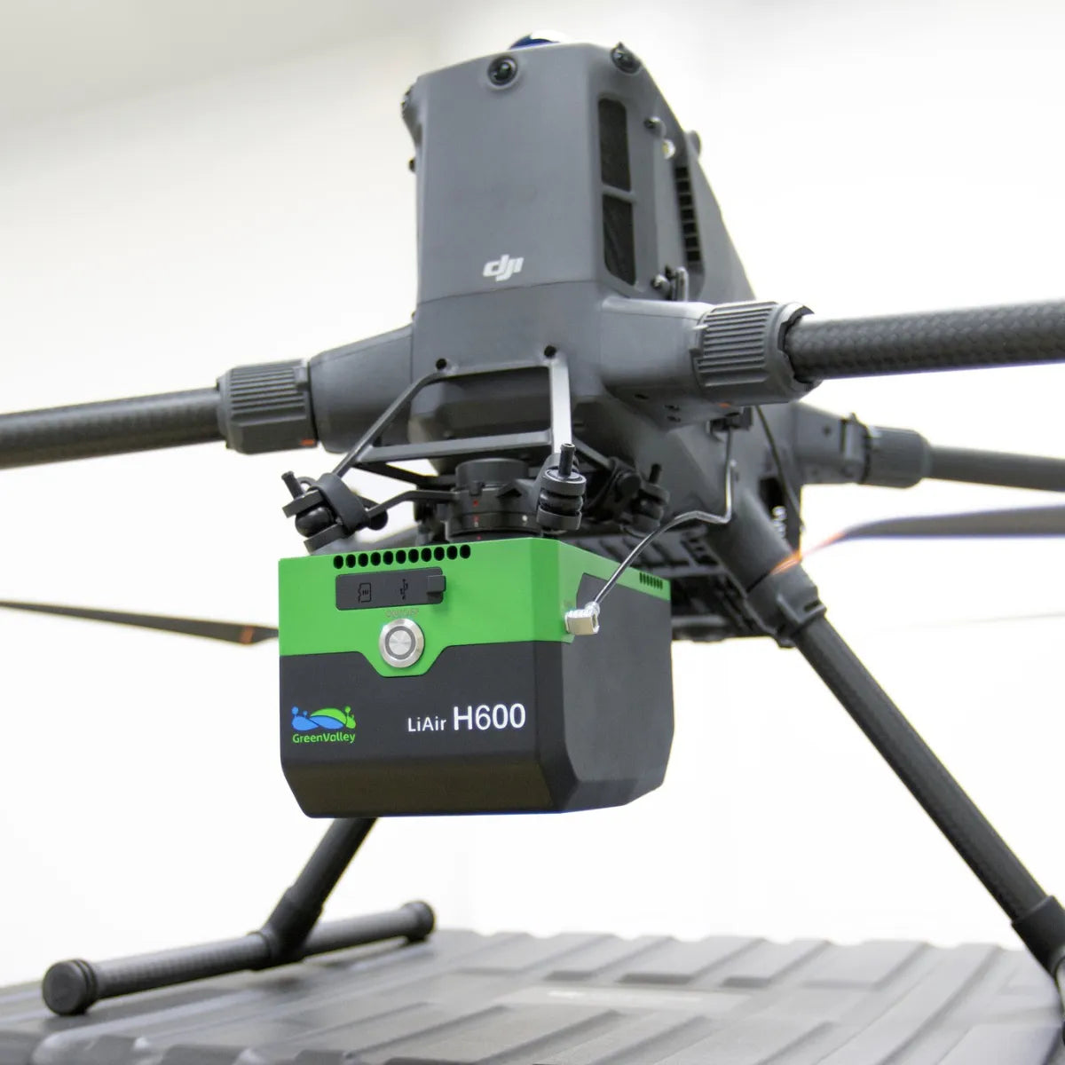
The GreenValley LiAir H600 UAV LiDAR System is a fully integrated aerial mapping payload designed for high-accuracy data capture across surveying, inspection, and infrastructure applications. It combines a 1535 nm LiDAR scanner, high-frequency IMU, GNSS positioning system, and 26 MP mapping camera into a single 1.3 kg (2.87 lbs) unit, enabling efficient deployment on enterprise UAV platforms.
With a maximum range of 800 m (2,625 ft), scan rates up to 550,000 points per second, and vertical accuracy of ±5 cm at 200 m altitude, the LiAir H600 is built to deliver consistent, high-density point cloud data across varied terrain and mission types.
Key Features and Benefits
- High-density LiDAR scanning: Up to 550,000 points per second capture rate.
- Extended measurement range: Detects targets up to 800 meters distance.
- Multi-return capability: Supports up to seven returns for vegetation penetration.
- High-accuracy positioning: ±5 cm vertical accuracy at 200 meters altitude.
- Wide field of view: 80° horizontal coverage for efficient swath mapping.
- Integrated mapping camera: 26 MP sensor captures 6252 × 4168 imagery.
- High-frequency IMU: 1000 Hz data improves trajectory and positioning accuracy.
- Lightweight payload design: 1.3 kg supports longer UAV flight durations.
- Real-time monitoring capability: Displays point cloud and video during flight.
High-Accuracy Data Capture for Surveying, Inspection, and Mapping Workflows
The LiAir H600 is engineered for consistent and repeatable data acquisition across a wide range of environments. Its Time-of-Flight LiDAR system operates at 1535 nm, enabling accurate distance measurement and multi-return capability for capturing terrain beneath vegetation. With a swath width exceeding 350 m (1,148 ft) at 200 m altitude, it reduces the number of flight lines required for large-area coverage.
The integrated INS system delivers attitude accuracy of 0.006° and azimuth accuracy of 0.019°, ensuring precise georeferencing. Combined with real-time point cloud visualization and adaptive scan profiles, operators can maintain consistent data density and verify coverage during flight, minimizing the need for rework.
Compatibility and System Integration
- Compatible with DJI Matrice 400, DJI Matrice 350 RTK, DJI Matrice 300 RTK platforms.
- SkyPort mounting interface enables secure payload attachment and power integration.
- Supports antenna-free GNSS operation on compatible M300 and M350 platforms.
- Integrates with GreenValley Flight Assistant for mission control and monitoring.
- LiGeoreference software supports LiDAR and trajectory data pre-processing workflows.
- Compatible with LiDAR360 and LiPowerline for advanced post-processing analysis.
Applications and Use Cases
- Topographic mapping: Generate high-density point clouds for terrain modeling workflows.
- Powerline inspection: Capture conductor clearance and vegetation encroachment data accurately.
- Forestry surveying: Penetrate canopy using multi-return LiDAR for ground extraction.
- Infrastructure inspection: Map structures and assets with high spatial accuracy.
- Corridor mapping: Survey roads, pipelines, and railways with wide swath coverage.
- Disaster assessment: Rapidly capture terrain and structural changes in affected areas.
The GreenValley LiAir H600 UAV LiDAR System provides a balanced combination of range, accuracy, and data density for professional aerial mapping operations. Its integrated architecture reduces setup complexity while enabling reliable data capture across varied mission profiles.
At DSLRPros, we support end-to-end UAV mapping workflows with hardware, software, and deployment guidance. Consult our UAV specialists to configure the LiAir H600 for your application and purchase from DSLRPros with confidence.
