


DSLRPros Autel EVO MAX 4T (XE) Urban Scout Bundle
DSLRPros Autel EVO MAX 4T (XE) Urban Scout Bundle
SKU:B-NB-MAX4T-US

- Description
- Specifications
- In the Box
- FAQ
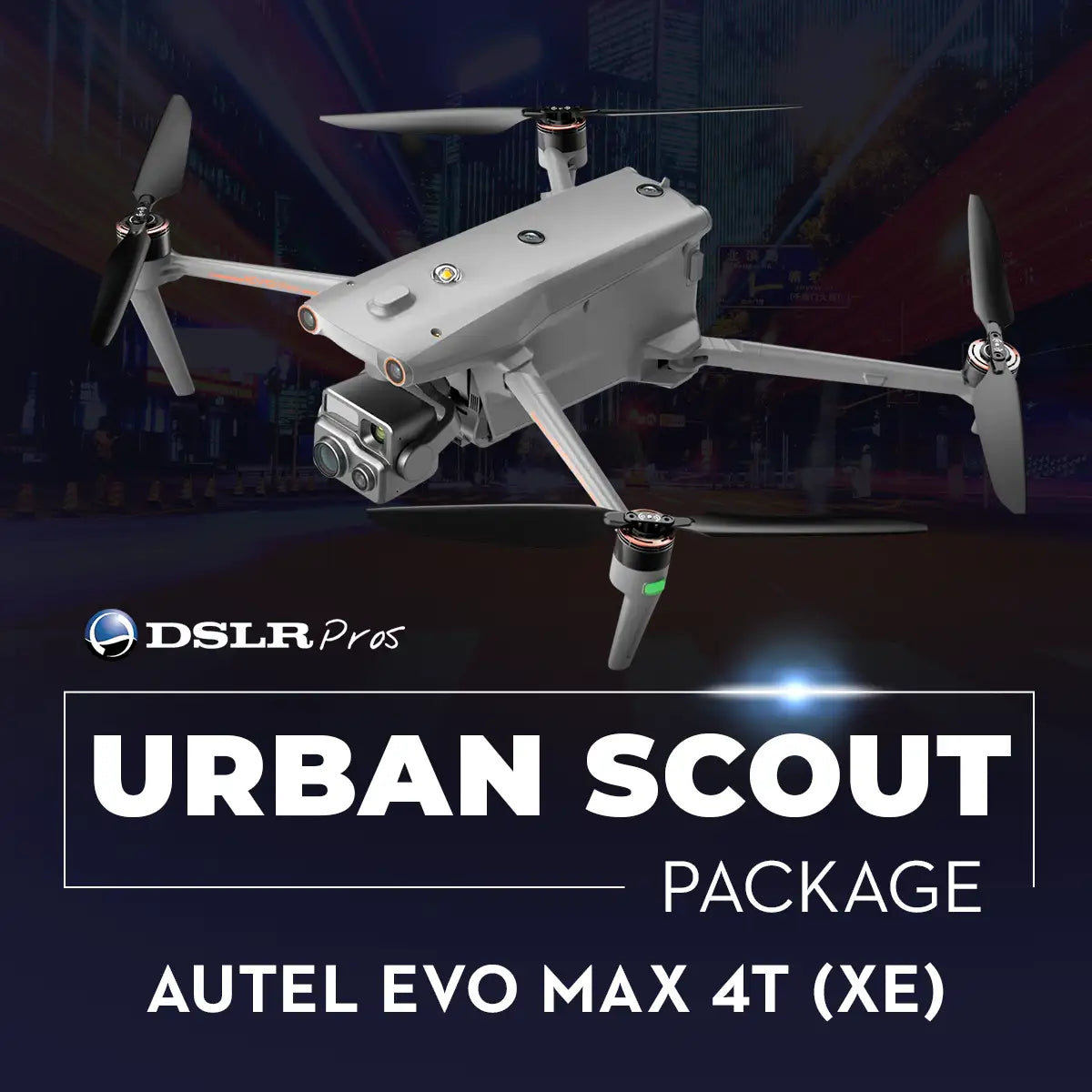
Autel EVO Max 4T Urban Scout Package: Multi-sensor solution for critical urban missions
The DSLRPros Autel EVO Max 4T Urban Scout Package is a mission-configured solution for agencies that need fast deployment, long endurance, and high-fidelity situational awareness in crowded or complex environments. Built around the Autel EVO Max 4T XE with Fusion 4T gimbal, this package combines 8K zoom, 50 MP wide, 640 × 512 thermal, and a 1,200 m laser rangefinder into a single aircraft.
Hot-swappable smart batteries, a multi-charger, backpack, and spotlight/speaker module turn the platform into a practical tool for daily public safety, disaster response, and infrastructure support.
Sensor and payload advantages for Urban Scout missions
- Four-sensor Fusion gimbal: zoom, wide, thermal, and laser ranging combined.
- 640 × 512 thermal camera: detect heat signatures through smoke, darkness.
- 48 MP zoom sensor: 8K video, 10× optical, 160× hybrid magnification.
- 50 MP wide camera: 4K capture with enhanced low-light Moonlight processing.
- Laser rangefinder: confirm target distance and coordinates out to 1,200 meters.
- A-Mesh 1.0 networking: coordinate multi-aircraft operations beyond visual line of sight.
- SkyLink 3.0 link: 1080p transmission up to 12.4 miles line-of-sight.
- Hot-swappable smart batteries: maintain tempo with fast turnarounds between sorties.
- Urban Scout accessories: spotlight, speaker, and backpack configured for deployments.
Operational advantages for public safety and inspection teams
The Urban Scout configuration is designed to reduce setup time and friction in the field. A 42-minute maximum flight time and up to 15 km FCC transmission range support extended overwatch, perimeter security, and wide-area search with fewer landing cycles. IP43 weather protection and 12 m/s wind resistance keep the aircraft viable in real-world conditions, rather than fair-weather windows only.
With 720° obstacle sensing driven by millimeter-wave radar and stereo vision, crews can operate in dense urban corridors, near towers, and around temporary structures with added confidence and safety margins.
Field benefits for critical incident and urban response
In use, the EVO Max 4T XE’s multi-sensor payload allows operators to toggle between high-resolution zoom, wide context, and thermal imaging without changing platforms or payloads. The 48 MP zoom camera delivers 8K video and up to 160× hybrid magnification, enabling safe standoff distances while still resolving key details.
The 640 × 512 radiometric thermal imager supports temperature-based triage for hotspots, search targets, and hazardous scenes, while the laser rangefinder provides accurate distance and coordinate data out to 1,200 m. Combined with A-Mesh 1.0 networking and the included speaker/spotlight module, this package is built to support both routine operations and rare, high-stress events.
Platform connectivity and ecosystem compatibility
- Works with Autel Enterprise app for mission planning and flight management.
- Supports SkyLink 3.0 HD link with optional 4G backhaul modules.
- A-Mesh 1.0 enables multi-aircraft networking and relay beyond visual range.
- Compatible with bundled AirData Enterprise trial for live streaming and analytics.
- Optional RTK modules support centimeter-level positioning for mapping documentation.
- AES-256 encrypted links and storage help meet sensitive mission data requirements.
Mission profiles for the Urban Scout Package
- Urban search and rescue: locate missing persons using thermal and zoom payloads.
- Fireground assessment: map fire lines, hotspots, and exposures from safe perimeters.
- Crowd management: monitor large gatherings while maintaining standoff distance and safety.
- Infrastructure triage: inspect bridges, rooftops, and towers immediately after severe weather.
- Traffic collision response: capture aerial documentation for reconstruction and liability review.
- Disaster reconnaissance: survey floods, landslides, or collapses before deploying ground units.
- Perimeter security: patrol critical facilities and temporary events with persistent aerial coverage.
- Missing child alerts: rapidly canvass neighborhoods with integrated thermal and visual sensors.
- Hazardous materials incidents: identify exclusion zones without exposing personnel to contaminants.
The Autel EVO Max 4T Urban Scout Package is tailored to fit into existing agency workflows rather than replace them. Encrypted SkyLink 3.0 communications and A-Mesh networking allow teams to extend coverage while retaining control of sensitive data. IP43 and wide temperature tolerances support year-round deployments in varied climates, and hot-swappable batteries help keep aircraft in the air during evolving incidents.
With a dedicated backpack, spotlight/speaker module, Autel Care Standard coverage, and integrated AirData Enterprise streaming trial, the bundle is assembled to support real-world adoption and long-term program continuity.
The Urban Scout Package delivers a focused balance of reach, endurance, and sensing capability for teams that cannot afford guesswork when conditions change. Whether the mission is a planned operation or a rapidly unfolding emergency, the EVO Max 4T XE provides clear, multi-spectrum intelligence that helps operators make faster, better decisions.
DSLRPros configures this Autel EVO Max 4T Urban Scout Package specifically for the demands of public safety, inspection, and tactical users. With expert guidance, responsive support, and a carefully selected accessory set, you receive a platform that can move from storage to active duty with minimal additional setup.
Talk with DSLRPros to align the Urban Scout Package with your agency’s standard operating procedures and mission profile.
