


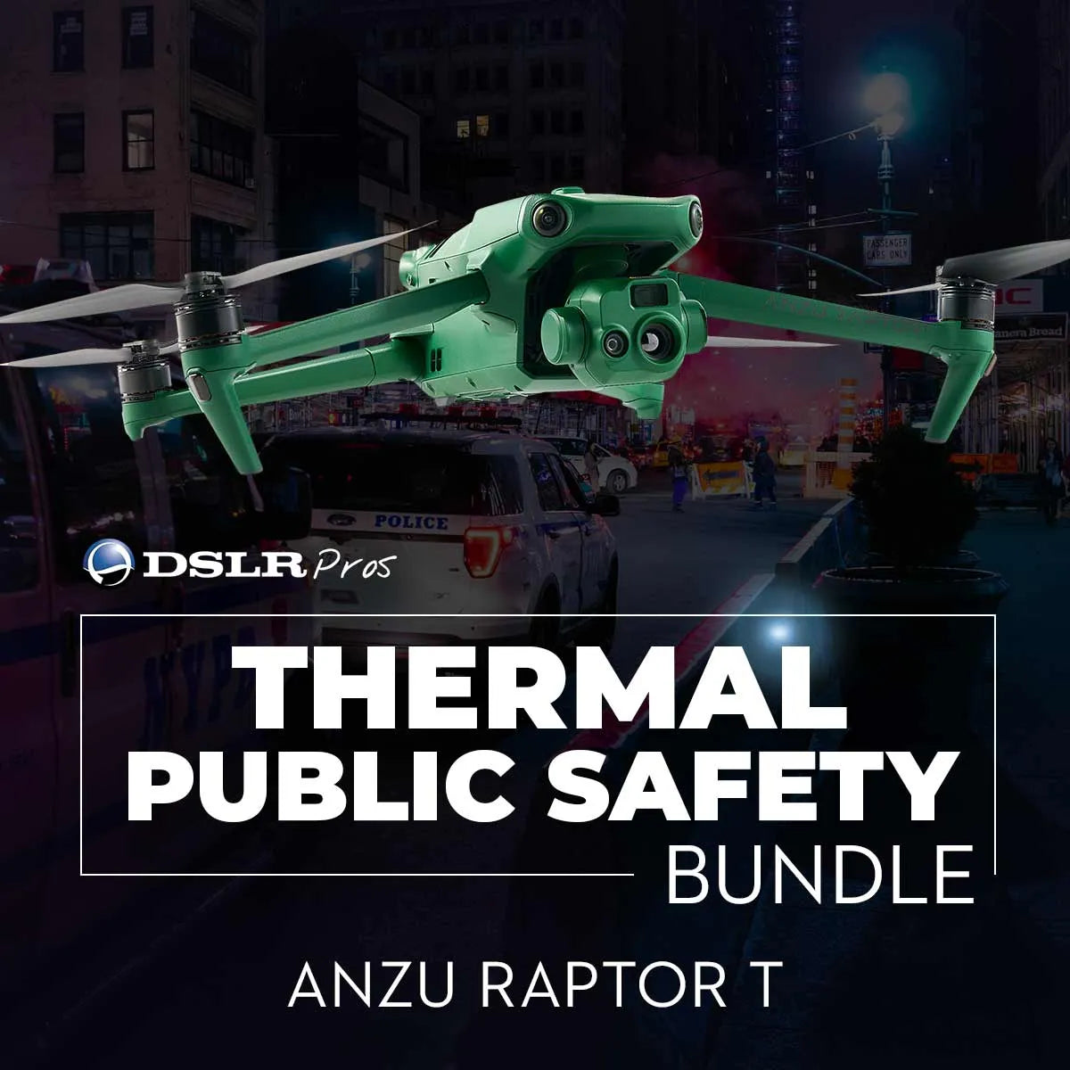
DSLRPros Anzu Raptor Thermal Public Safety Package
DSLRPros Anzu Raptor Thermal Public Safety Package
SKU:B-NB-AZ-PS

- Description
- Specifications
- In the Box
- FAQ
DSLRPros Anzu Raptor Thermal Public Safety Package: Thermal precision and secure situational awareness for critical response
The DSLRPros Anzu Raptor Thermal Public Safety Package delivers a purpose-built aerial solution engineered for emergency responders, law enforcement, and disaster management teams. Centered on the Anzu Raptor T aircraft, this system combines 640 × 512 px thermal imaging with high-resolution visible cameras and up to 45 minutes of flight time. Designed for rapid deployment and operational reliability, it supports real-time decision-making in dynamic environments. Integrated Aloft software and U.S.-based data handling further reinforce mission security and regulatory compliance for public safety agencies.
Mission-ready imaging and operational performance
- 640 × 512 thermal sensor: Detects heat signatures in complex scenes
- 56× hybrid zoom capability: Enhances distant identification and assessment
- 20 MP wide camera: 4/3-inch CMOS with mechanical shutter
- 12 MP tele camera: 162 mm equivalent optical perspective
- UHD 4K at 30 fps: High-resolution video documentation
- 45-minute maximum flight time: Extended mission endurance capability
- 3-axis stabilized gimbal: ±0.007° stabilization accuracy for clarity
- Advanced obstacle avoidance system: Navigates complex urban environments
- Optional RTK module support: Enables centimeter-level positioning accuracy
- American-developed Aloft software: Secure flight management and compliance
Advanced thermal and optical imaging architecture
The Anzu Raptor T integrates a dual-camera system engineered for tactical awareness. Its 640 × 512 thermal sensor supports hotspot detection during search and rescue or fire assessment operations, while the 20 MP 4/3-inch CMOS wide camera captures detailed scene documentation in visible light. The 12 MP tele camera provides 8–56× hybrid zoom for long-range identification. With UHD 4K video recording at 30 fps and ISO sensitivity from 100 to 6400, the platform ensures clear imaging across varied lighting conditions.
Flight endurance and tactical deployment capability
With a maximum flight time of 45 minutes and hover time up to 38 minutes, the aircraft supports sustained overwatch and area coverage. It reaches horizontal speeds up to 47 mph (75.6 km/h) and withstands wind speeds up to 26.8 mph (43.1 km/h). Maximum takeoff altitude reaches 3.7 miles (6 km), enabling high-elevation deployments. Vision positioning delivers ±0.3 ft (0.1 m) vertical accuracy, while GNSS positioning provides ±1.6 ft (0.5 m) horizontal accuracy for stable operations.
Platform integration and public safety interoperability
- Compatible with optional RTK positioning module (sold separately)
- Supports Aloft flight management and LAANC authorization
- microSD storage support (UHS-I, U3/V30 recommended)
- 64 GB internal storage in remote controller
- USB-C service port for maintenance and firmware updates
- Remote ID compliant for regulatory operations
- Modular speaker support (sold separately)
- Integrated secure data handling via U.S.-based servers
Public safety operational deployment scenarios
- Rapid response deployment: Immediate aerial situational awareness
- Search and rescue operations: Thermal detection of missing persons
- Fire scene assessment: Identify hotspots and structural risks
- Law enforcement overwatch: Monitor crowds and tactical operations
- Disaster response mapping: Evaluate storm, flood, or wildfire damage
- Hazardous materials incidents: Thermal detection of heat anomalies
- Infrastructure incident review: Inspect bridges, roads, critical assets
- Night operations: Low-light and thermal imaging capability
- Perimeter security: Monitor restricted areas during active incidents
- Multi-agency coordination: Share aerial intelligence in real time
Engineered for mission reliability and secure operations
The Anzu Raptor Thermal Public Safety Package is built for demanding field conditions, operating in temperatures from 14° to 104°F (-10° to 40°C). Its quadcopter configuration with 9.4 × 5.3-inch propellers delivers stable flight in high-wind conditions. Operated through American-developed Aloft software, the system supports secure data workflows and FAA compliance. Encrypted storage and U.S.-based server infrastructure prioritize agency data protection while maintaining operational efficiency.
The DSLRPros Anzu Raptor Thermal Public Safety Package provides dependable thermal imaging, zoom capability, and secure data handling for public safety professionals. Its balanced combination of endurance, imaging performance, and compliance support makes it a practical aerial tool for mission-critical operations.
Available now from DSLRPros. Contact our enterprise specialists to configure your public safety deployment package and equip your team with reliable thermal response capability.
