Building the Future One Drone at a Time
Construction Survey Drones and Bundles
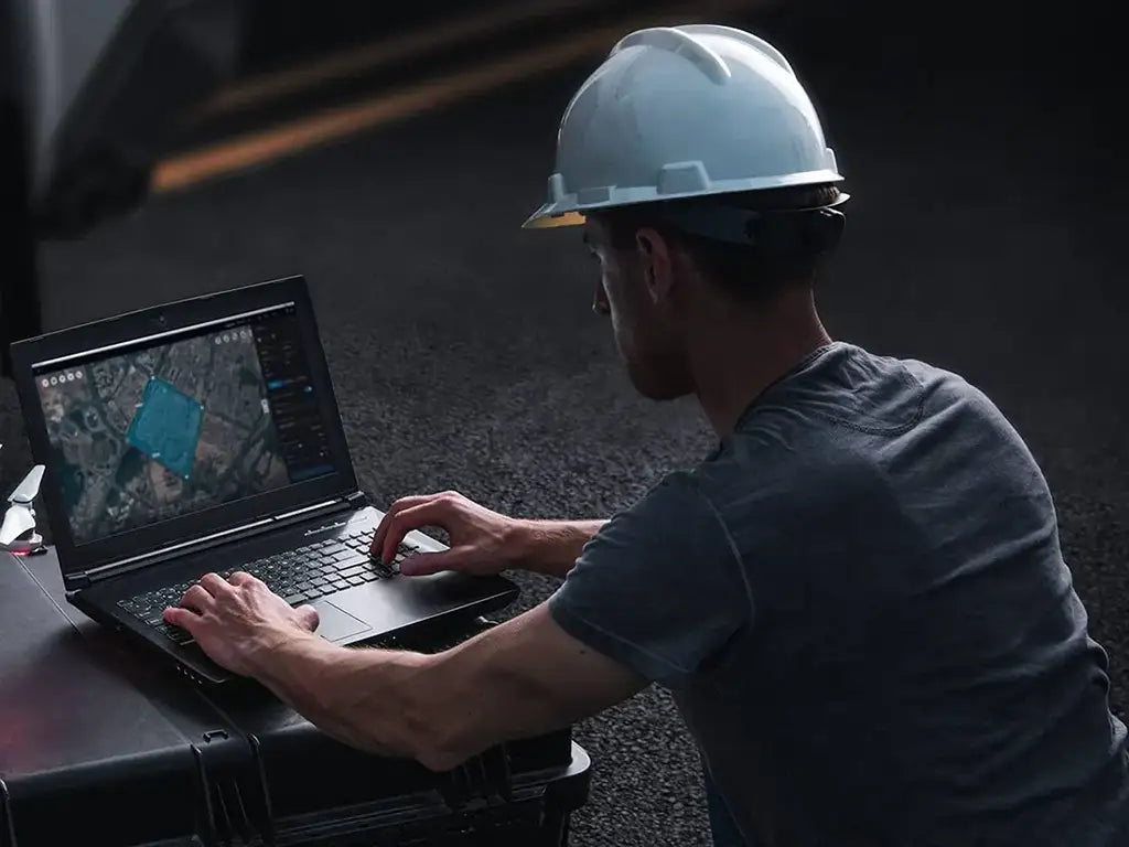
Explore our catalog of construction drone solutions and discover how this technology can make your site more productive, precise, and future-ready.


Payloads for Construction Survey Drones
-

Autel L35T Gimbal Camera
Request Info/Quote -

DJI Zenmuse S1 Spotlight
Request Info/Quote -

DJI Zenmuse V1 Speaker
Request Info/Quote -

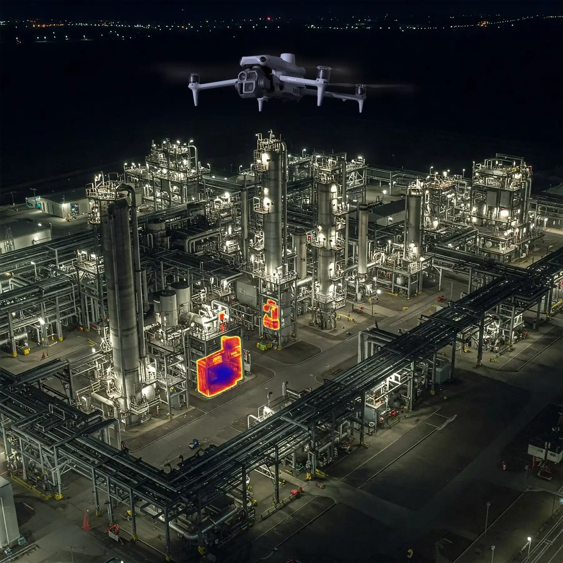
ACSL SOTEN High Resolution Thermal Camera
Request Info/Quote -

JZ Drones S3 Matrix Flash
Request Info/Quote -

JZ Drones T90 Matrix Lamp
Request Info/Quote


11 Ways Drones Benefit Construction Surveys and Mapping
-

Need for Speed: Drones Do It Faster
-

Safety: Taking the Risk out of Surveys
-

Cost Savings: Free Up More of Your Budget
-

High-Resolution Imagery: See it All, Miss Nothing
-

Flexibility and Versatility
-
Real-Time Data: Keeping You in the Loop
-

Improved Accuracy: Nail the Details with Spot-On Surveys
-
A Site's Life Story: Drones Document Every Chapter
-

Enhanced Communication
-

Pre-Construction Planning Made Easier
-

Drone Accessibility: Go Where Crews Can’t