Best Building Inspection Drones and Bundles


Payloads for Building Inspection Drones
-

DJI Zenmuse S1 Spotlight
Request Info/Quote -

DJI Zenmuse V1 Speaker
Request Info/Quote -

ACSL SOTEN High Resolution Thermal Camera
Request Info/Quote -

ACSL SOTEN Optical Zoom Camera
Request Info/Quote -

DJI Zenmuse X5S
Request Info/Quote -

JZ Drones S3 Matrix Flash
Request Info/Quote


10 Applications For Building Inspection Drones
-

Rooftop Inspection
-

Building Facades
-
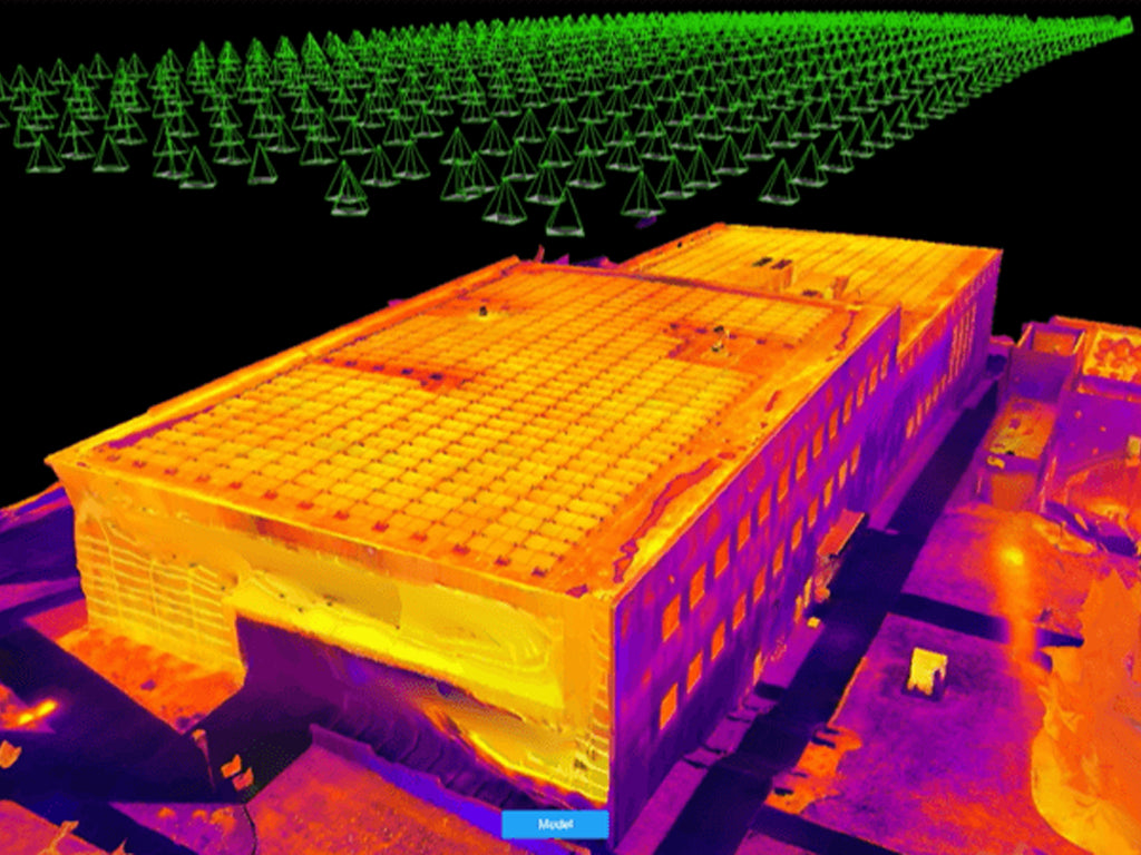
Thermal Imaging
-

Structural Assessment
-

Disaster Assessment
-

Site Mapping and Planning
-

Historic Preservation
-

Building Envelope Inspection
-

Interior Courtyard Surveillance
-

Post-Repair Validation