


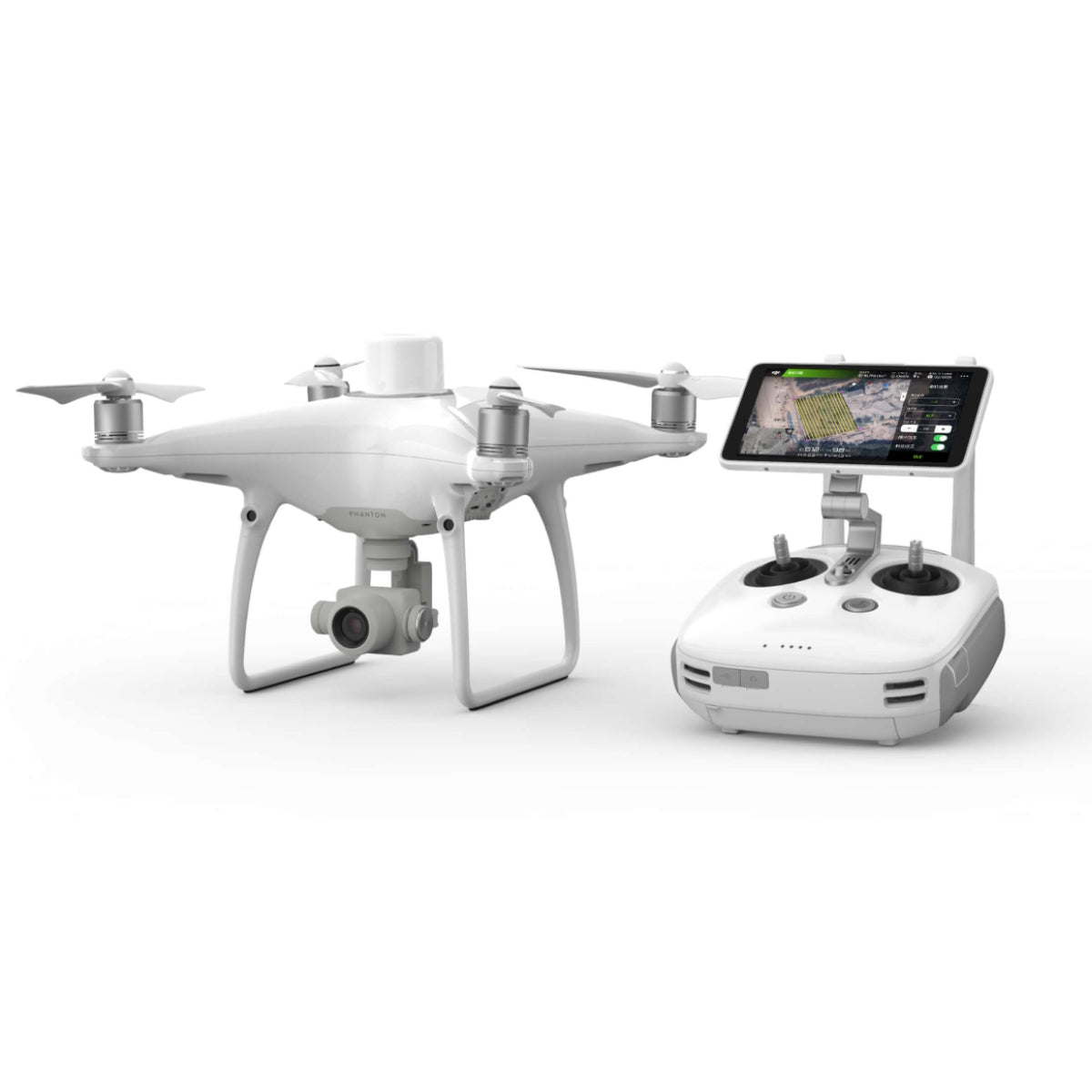
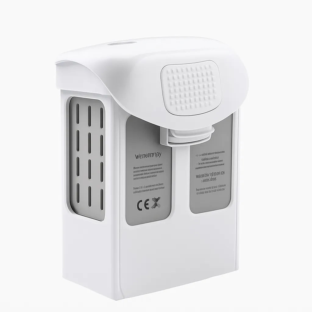


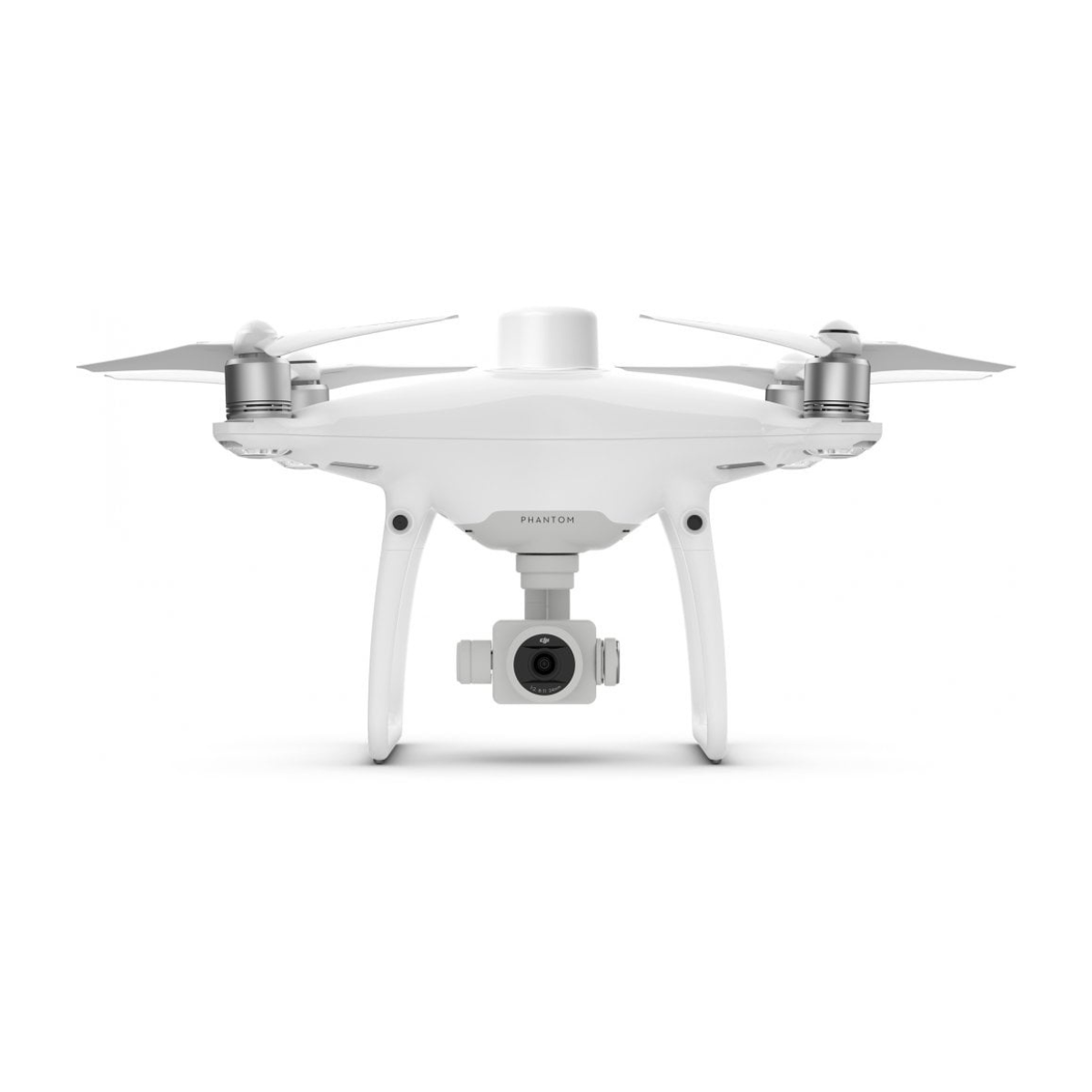
DJI Phantom 4 RTK (S) with 1x Aftermarket Battery
DJI Phantom 4 RTK (S) with 1x Aftermarket Battery
SKU:S-DJI-P4RTK-NBS


- Description
- Specifications
- In the Box
- FAQ
DJI Phantom 4 RTK (S): High-precision aerial mapping with streamlined workflows
The DJI Phantom 4 RTK (S) delivers a dependable, survey-grade mapping platform designed for professionals who require consistent centimeter-level accuracy. This new drone-only kit includes the aircraft, standard controller, charging hub, spare propellers, WB37 system, and an aftermarket Phantom 4 battery to support extended field use.
Built for accurate photogrammetry and efficient data capture, the Phantom 4 RTK (S) integrates an RTK module, a mechanical-shutter camera, and advanced synchronization technologies that reduce reliance on ground control points and strengthen mission repeatability in demanding environments.
Precision-focused engineering enhances data integrity and operational consistency
The Phantom 4 RTK (S) incorporates DJI’s TimeSync system, which aligns positioning data across the RTK module, camera, and flight controller to ensure metadata accuracy for every captured frame. The mechanical-shutter 20-megapixel sensor captures distortion-free imagery while maintaining a consistent ground sampling distance at altitude.
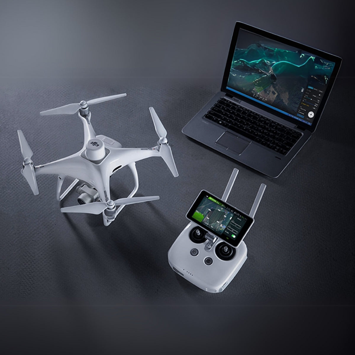
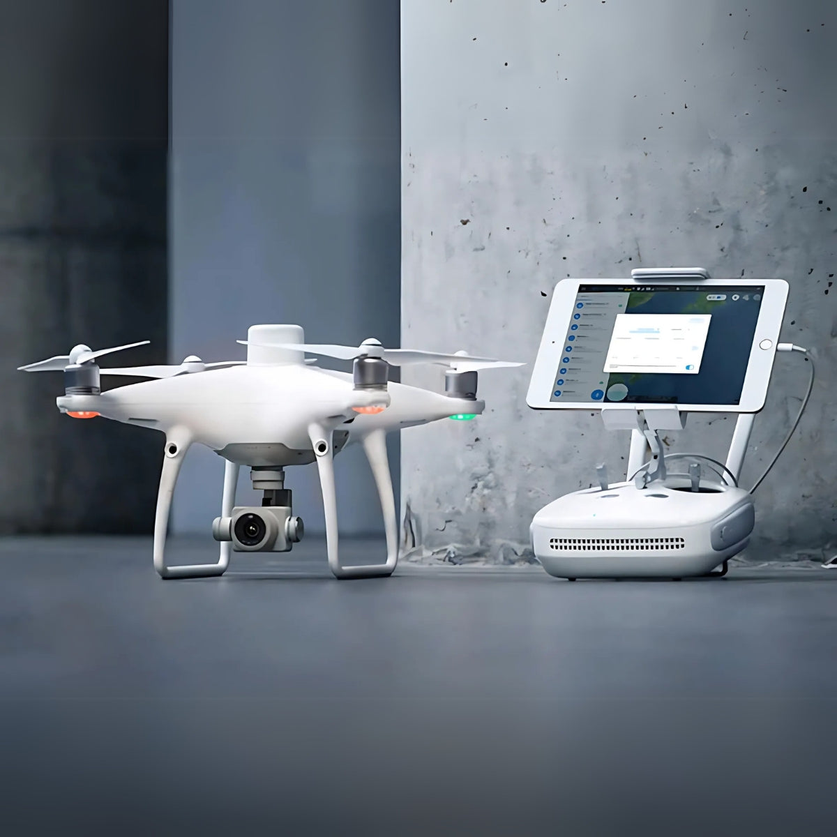
OcuSync transmission supports stable HD feeds during longer flights, enabling clear situational awareness during mapping missions. When paired with DJI Terra, teams gain a reliable photogrammetric workflow that minimizes errors and accelerates data processing across real-world project conditions.
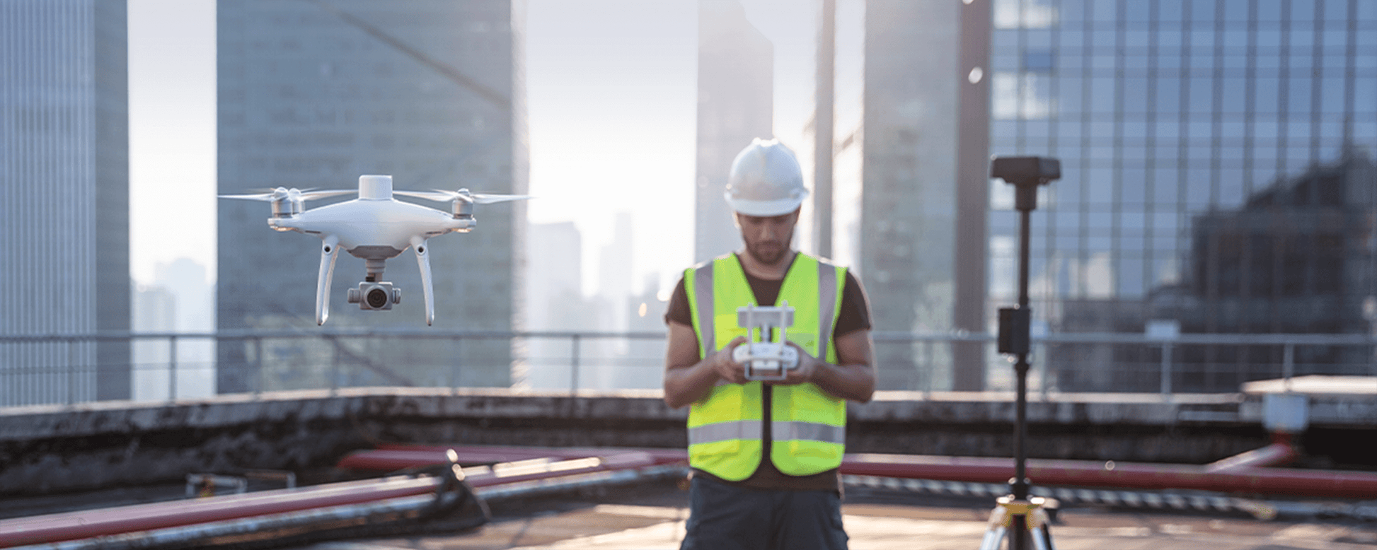
Reliable field performance supports confident decision-making and survey efficiency
Engineered for professional mapping teams, the Phantom 4 RTK (S) provides a balanced mix of accuracy, endurance, and precision imaging for high-value deliverables. The integrated RTK module delivers centimeter-level positioning, enabling surveyors to map sites with fewer ground control points while maintaining repeatable accuracy.
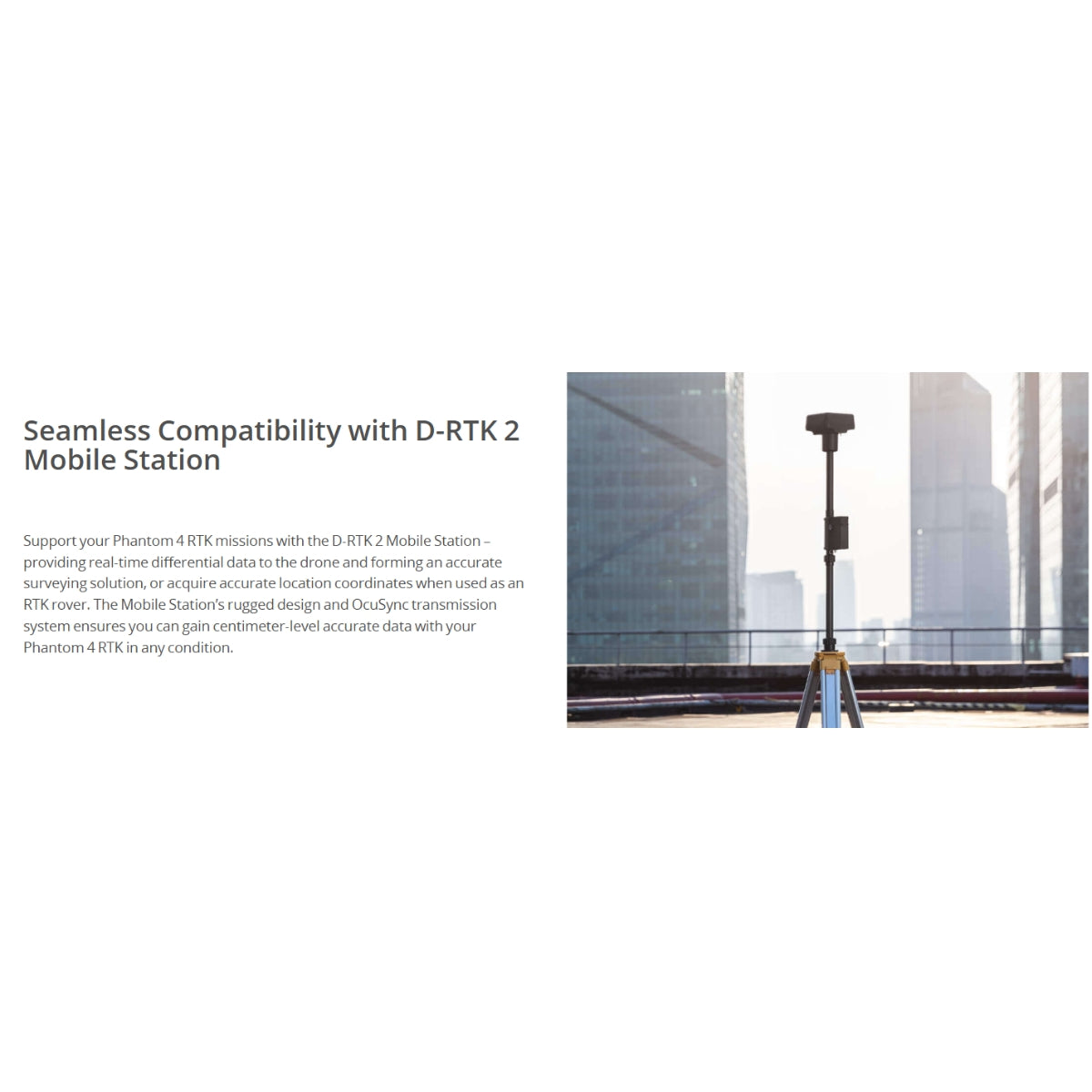
Compatibility with NTRIP services and the D-RTK 2 Mobile Station broadens deployment flexibility across remote or developed areas. With optimized mission tools, intuitive GS RTK controls, and efficient battery usage, operators complete flights quickly while maintaining consistent, reliable results.
Key features
-
Unparalleled RTK Precision: Achieve centimeter-level positioning accuracy with the Phantom 4 RTK’s integrated RTK module. Its TimeSync system continuously aligns the flight controller, camera, and RTK module, ensuring each image is geotagged to the lens’s optical center for precise surveying and mapping results.
-
High-Performance Camera: Equipped with a 1-inch, 20MP CMOS sensor, the Phantom 4 RTK captures high-resolution imagery with exceptional clarity. Its mechanical shutter minimizes rolling-shutter distortion, making it ideal for photogrammetry, 2D orthomosaics, and 3D modeling applications.
-
Efficient Data Management: The Phantom 4 RTK works seamlessly with the DJI GS RTK app for mission planning and supports standard output formats compatible with leading third-party mapping software. While the system provides RTK-based corrections in flight, it also supports PPK workflows through third-party post-processing solutions for enhanced positional accuracy.
-
Extended Flight Time and Operational Range: With a maximum flight time of up to 30 minutes, the Phantom 4 RTK enables efficient coverage of large survey areas. Its transmission range reaches up to 7 kilometers under FCC compliance (shorter ranges apply in CE and other regions), supporting stable command and data links during complex missions.
-
Streamlined Workflow: Purpose-built for surveying, the drone simplifies mission execution with GS RTK tools such as waypoint flights, block-area mapping, and linear (corridor) missions. Automated camera triggering and real-time positioning feedback ensure consistent data capture for users at any skill level.
-
Portable and Reliable Airframe: Designed for professional field use, the Phantom 4 RTK features a durable, compact, and easy-to-deploy airframe. While not foldable, its classic Phantom design ensures stable flight performance, reliable operation, and convenient transport for on-site mapping teams.
Transform Your Operations Across Industries
Revolutionize how you work with versatile solutions tailored for diverse professional applications. From precision mapping to critical inspections, explore the endless possibilities this drone unlocks.
- Construction mapping: generates accurate terrain models for project planning.
- Land surveying: records precise data with reduced ground control point usage.
- Mining volumetrics: captures high-clarity images for volume measurement workflows.
- Infrastructure assessment: documents assets through consistent flight paths.
- Utility corridor mapping: supports long-distance route analysis efficiently.
- Environmental monitoring: enables repeatable measurements over large areas.
- Agricultural surveying: produces high-resolution field imagery for analysis.
- Urban planning: captures georeferenced imagery for design and modeling tasks.
- Disaster response mapping: documents affected areas for planning and recovery.
- Coastal and watershed studies: supports accurate topographic data collection.
Enhance Your Operations with the DJI Phantom 4 RTK
The Phantom 4 RTK (S) is engineered to maintain stability, accuracy, and metadata fidelity across varied mission profiles. The integrated RTK architecture minimizes survey error while TimeSync preserves precise alignment between imagery and positioning data. Its durable airframe, mission-optimized controls, and direct compatibility with enterprise mapping tools make it a dependable asset for survey teams integrating drone workflows into established field operations.
The Phantom 4 RTK (S) is a proven platform for survey-grade mapping, offering long-term reliability and strong performance for professional aerial data programs. Its integrated workflow, stable imaging system, and efficient planning tools provide dependable results across demanding project environments.
DSLRPros has supported enterprise drone operations for over a decade, delivering guidance and after-purchase assistance to ensure mission success. Available now from DSLRPros. Purchase today to equip your team with proven aerial performance.
