🇺🇸 +1 877-299-1075 | Mon-Fri 7am-5pm PST
DSLRPros | Enterprise Drone Sales & Comprehensive Services

Sky-High Insights for Your Crops

Crop Consulting Drones and Bundles

For crop consulting, DSLRPros offers powerful drone bundles like the Mavic 3 Multispectral RTK Agriculture Monitoring Package for detailed NDVI imaging, and the DJI Agras T50 Crop Spraying Package for targeted pesticide or nutrient application.
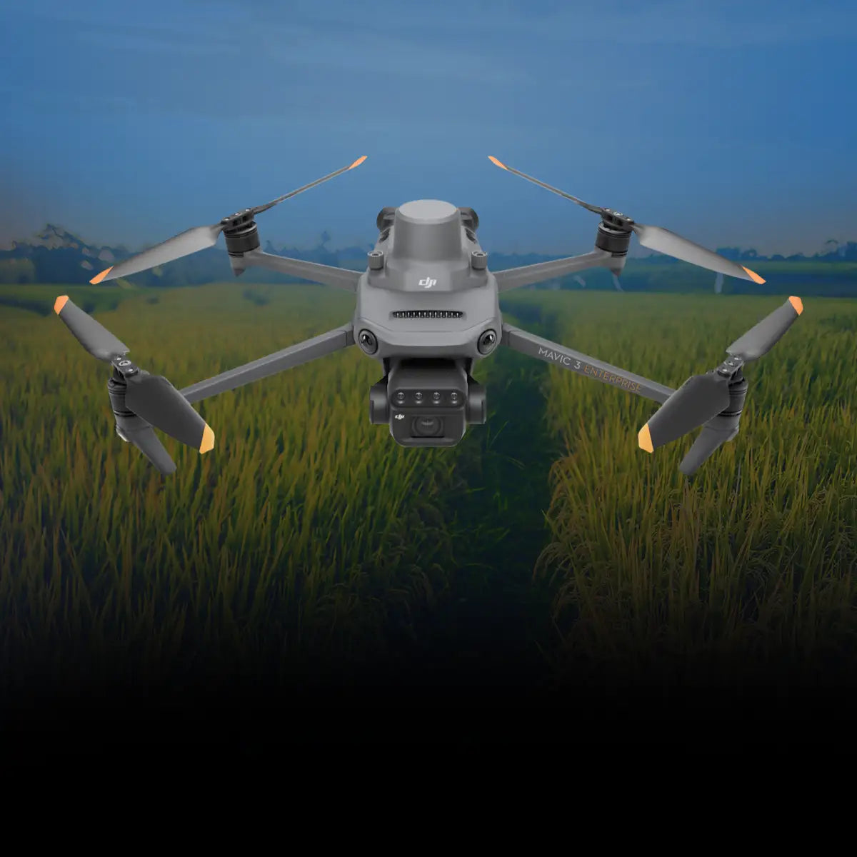
DSLRPros DJI Mavic 3 Multispectral RTK Agriculture Monitoring Package

20MP 4/3 CMOS RGB camera

Four 5MP multispectral cameras

Sunlight sensor

RTK module

43-minute max flight time

200-hectare coverage in one flight

Fast charging

O3 transmission up to 15km

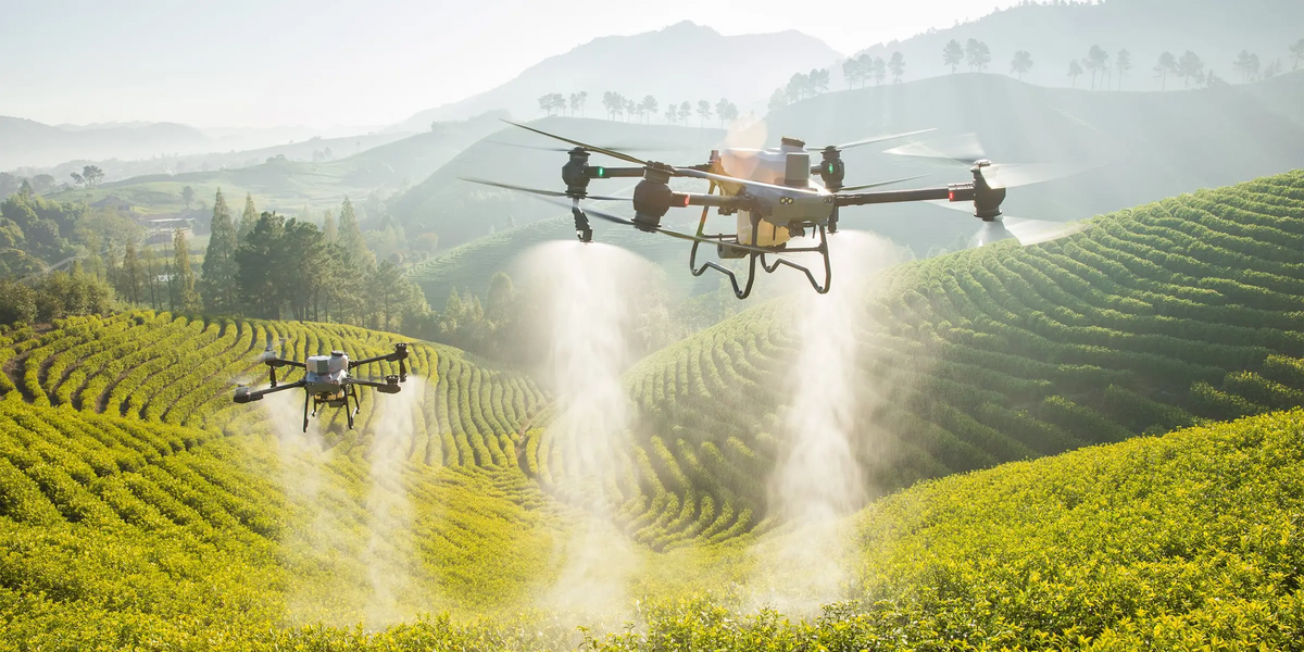
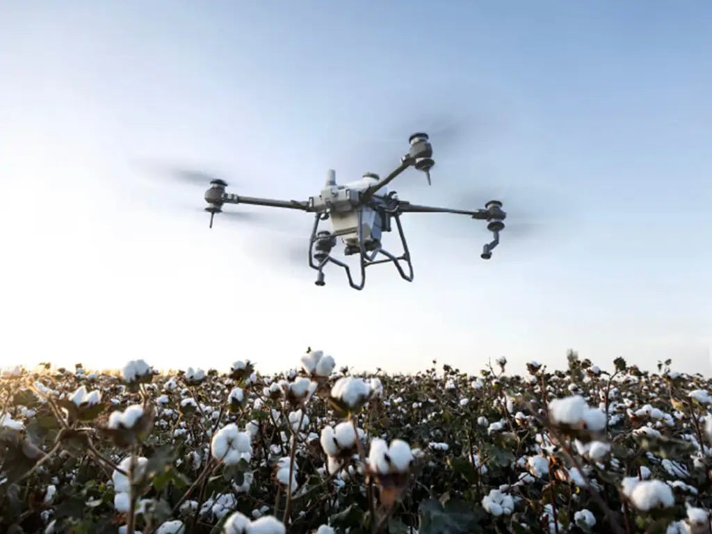
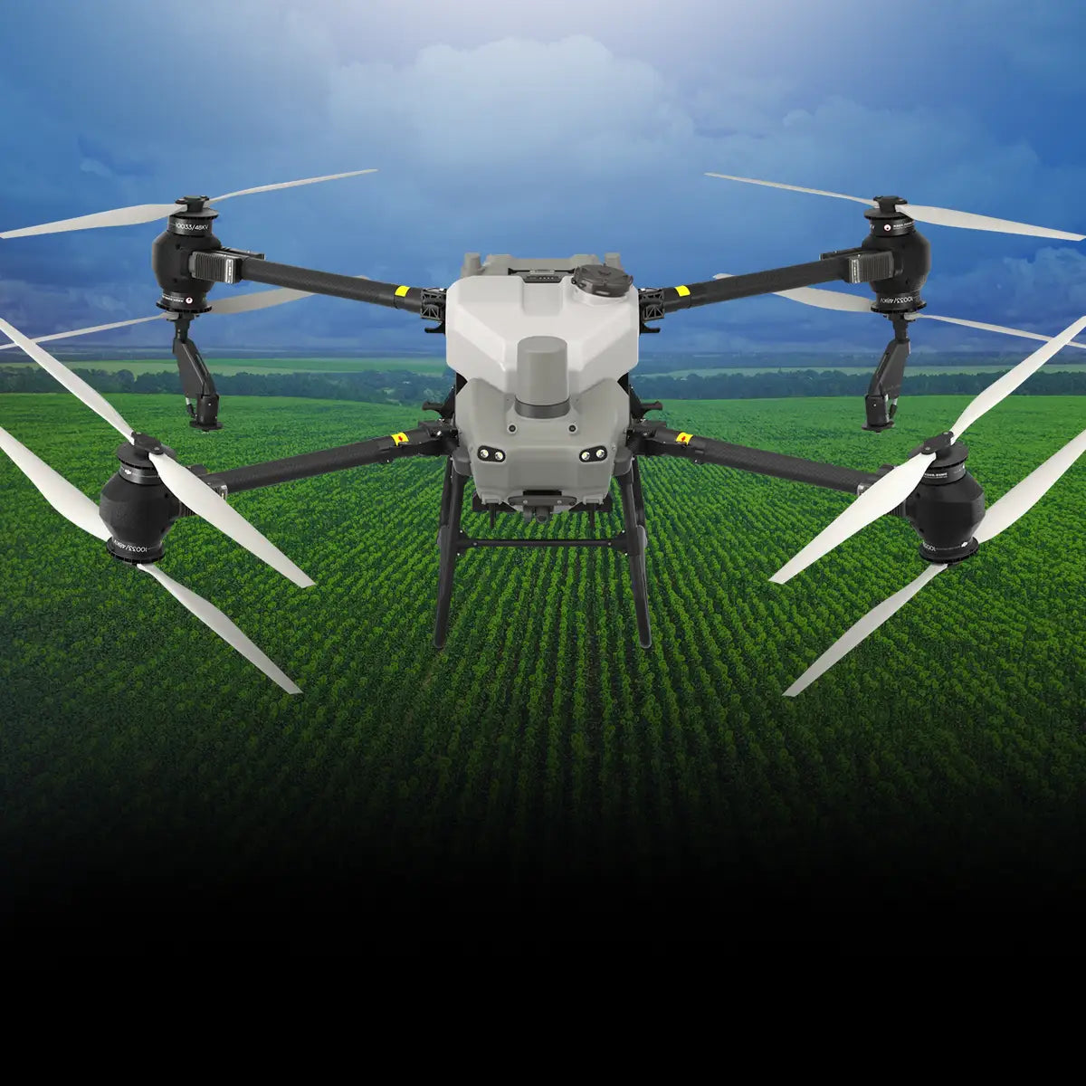
DSLRPros DJI Agras T50 Crop Spraying Package

Covers 52 acres (21.3 hectares) per flight hour

10.56-gallon (40 liters) spray tank with 12-megapixel adjustable camera

36 ft (11m) spray width with centrifugal nozzles and coaxial twin rotor system

Magnetic drive dual pump system with 24 L/min flow rate

Adjustable droplet sizes from 50 to 500 μm

Phased array radar and binocular vision systems for obstacle detection

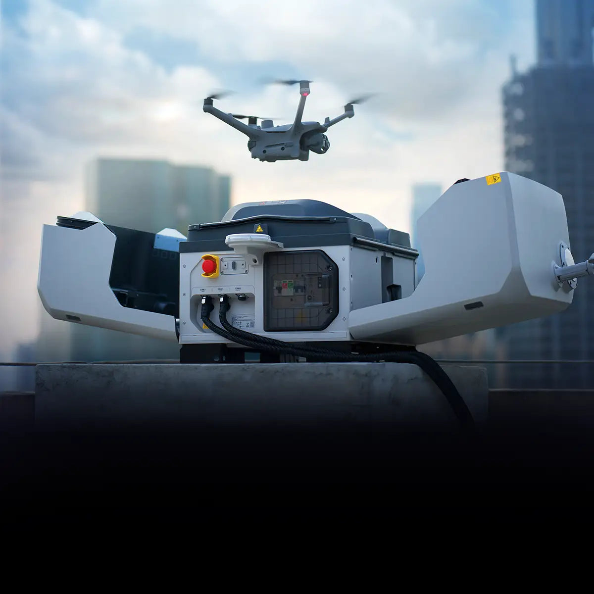
DSLRPros Dock 3 Ready To Fly Bundle

DJI Dock 3 for all-weather automated drone operations and vehicle-mounted deployment

DJI Matrice 4TD drone for advanced thermal and visual imaging

FlytBase Zero subscription for cloud-based mission control

DJI RC Pllus 2 Enterprise Controller for reliable and precise drone command

Pre-configured bundle ready for immediate deployment

DSLRPros Ready to Hunt Bundle

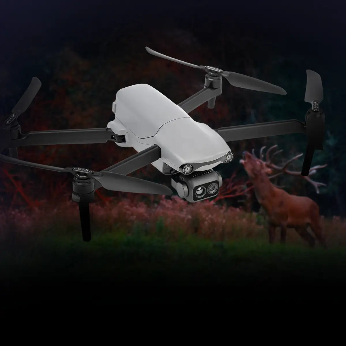
Drone: Autel Lite Enterprise 640T

Dual-camera system: 640x512 thermal, 48MP visible-light for comprehensive imaging

Thermal precision: Detects -20°C to 550°C with ±3°C accuracy

High-res visuals: ½-inch CMOS sensor, 4K video at 30 fps

16x zoom: Digital zoom in thermal and visible-light modes

SLAM navigation: Stable flight in GPS-compromised areas

Extended flight: 40-minute battery for longer missions

Long-range control: 12km transmission for wide coverage

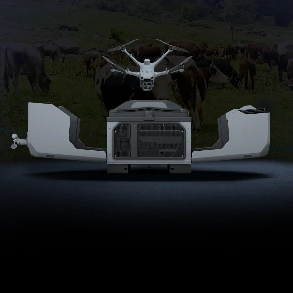
DSLRPros Dock 3 Cattle Rancher Bundle

DJI Dock 3: Compact, weather-resistant, and supports autonomous drone operations.

DJI Matrice 4TD: 48MP camera, thermal imaging, and Night Scene mode.

47-Minute Flight Time: Long-duration flights for extensive monitoring.

Vehicle-Mounted Deployment: Do in-transit drone charging and data transfer, perfect for long-distance tasks.

Dronehand & Flytbase Software: Automate herd tracking, inspections, and data collection.

DSLRPros Inspired Flight IF800 Agricultural Monitoring Package

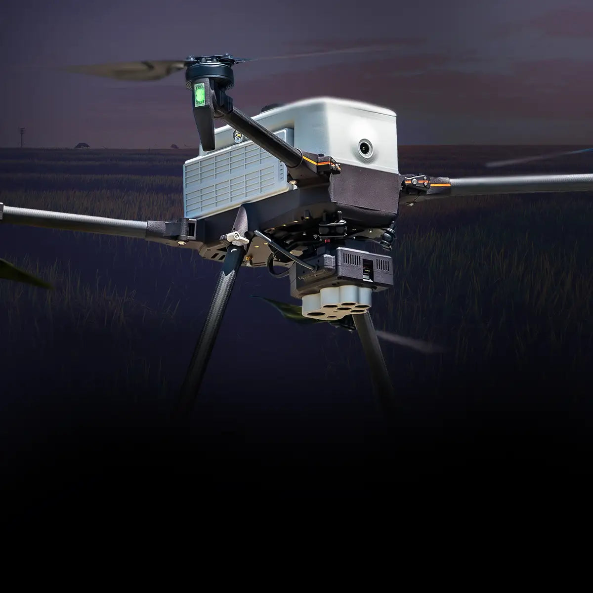
Inspired Flight IF800 Blue UAS–approved quadcopter

NDAA-compliant, U.S.-made and supported platform

Up to 40-minute flight time with typical agricultural payloads

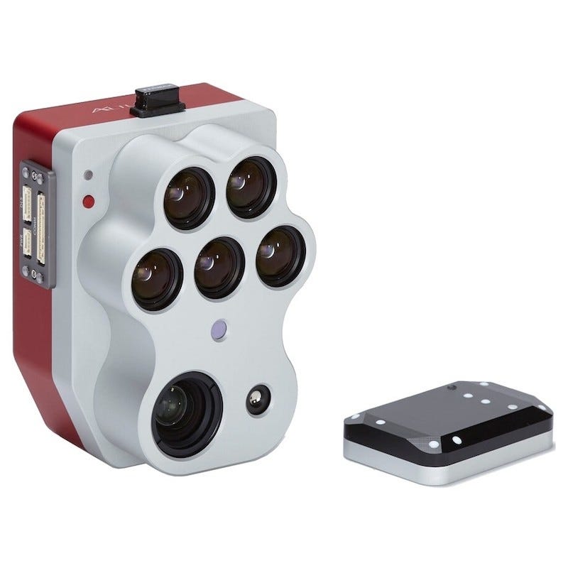
MicaSense Altum-PT multispectral, panchromatic, and thermal sensor

Five multispectral bands plus radiometric thermal imaging

DSLRPros Inspired Flight IF1200 Agriculture Monitoring Package

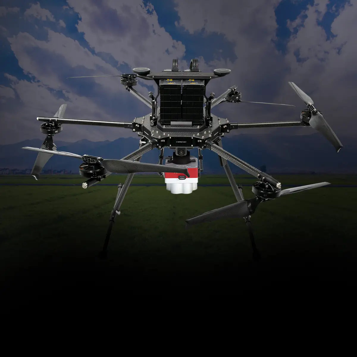
Inspired Flight IF1200A heavy-lift hexacopter

Up to 43-minute flight time per mission

NDAA & Blue UAS compliant drone platform

SAFE redundancy system for motor-failure landings

Includes GS-ONE Ground Control Station with 2000 NIT 7” 1080P touchscreen

Payloads for Crop Consulting Drones

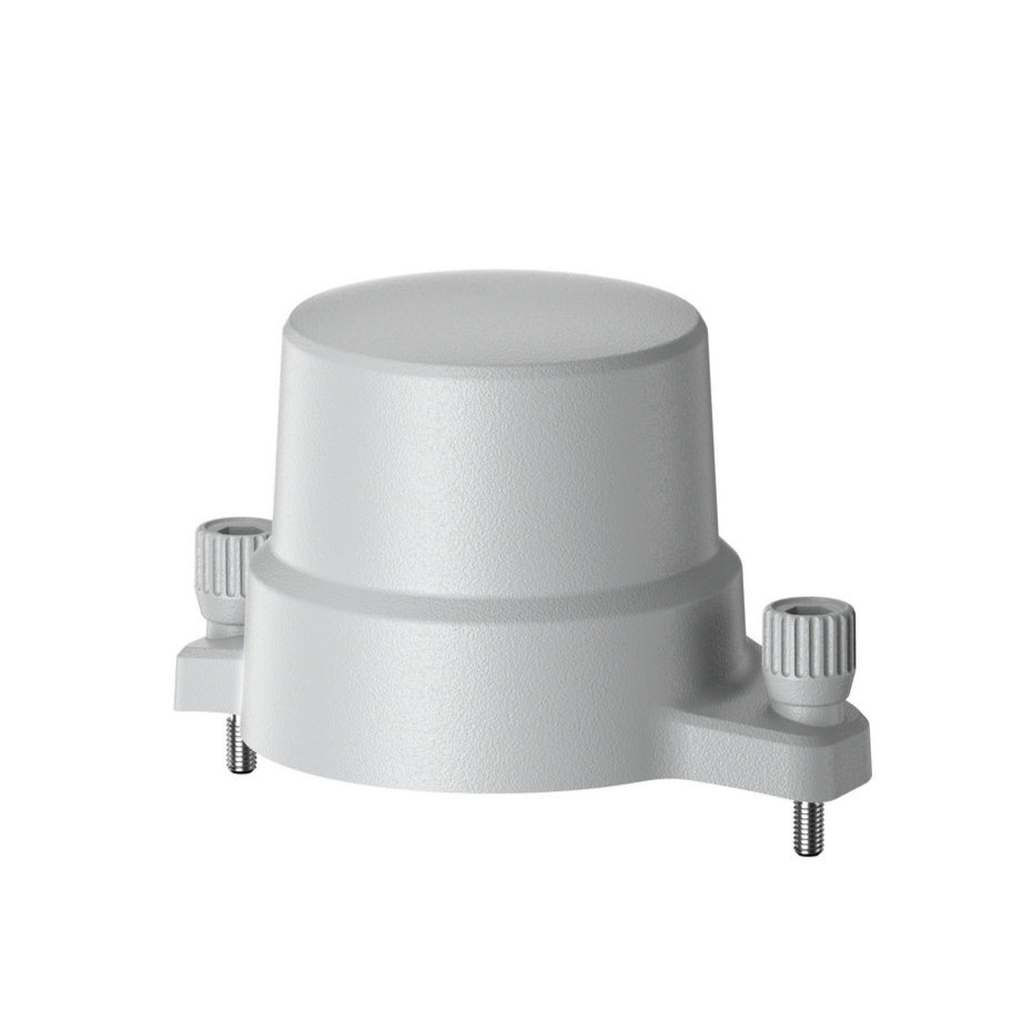
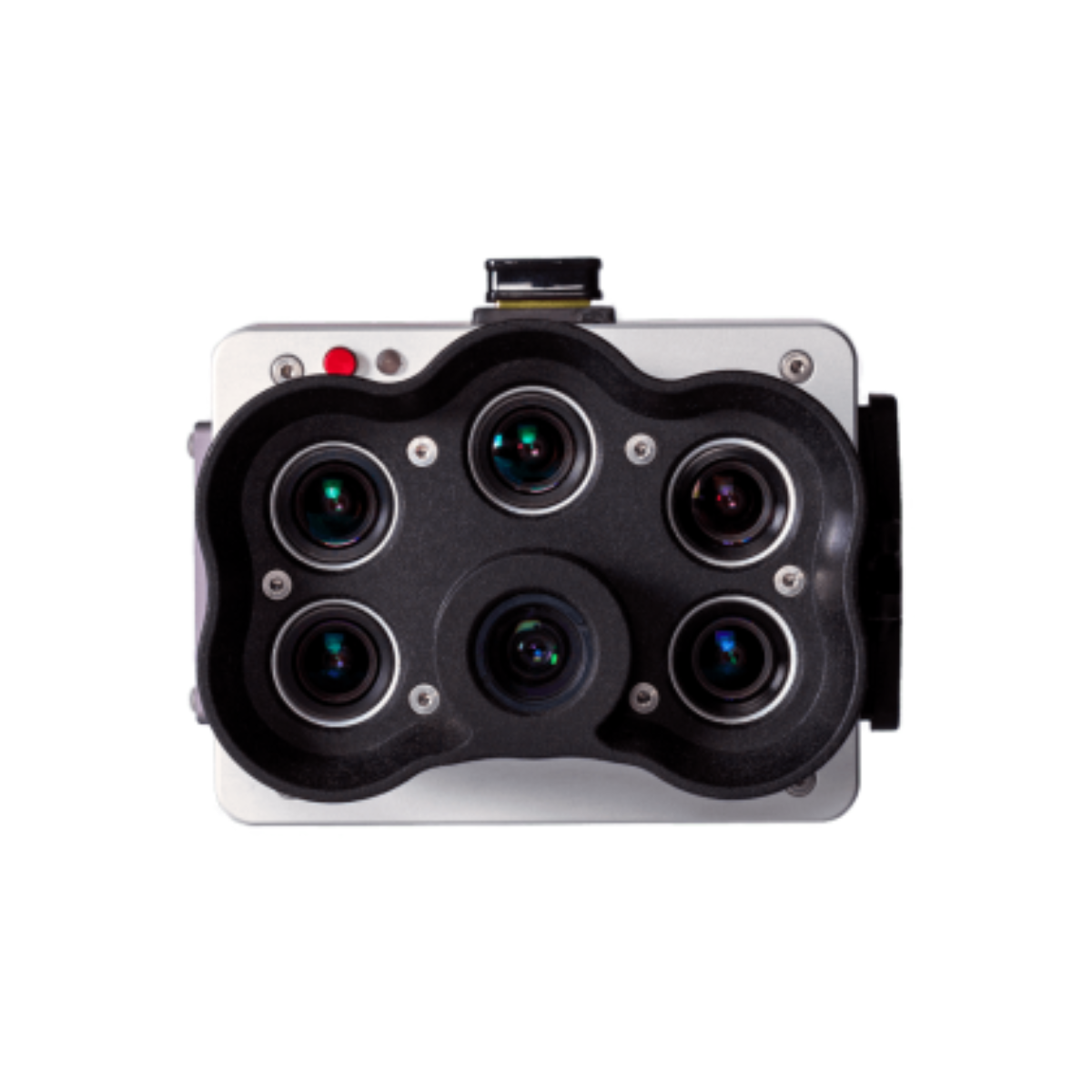
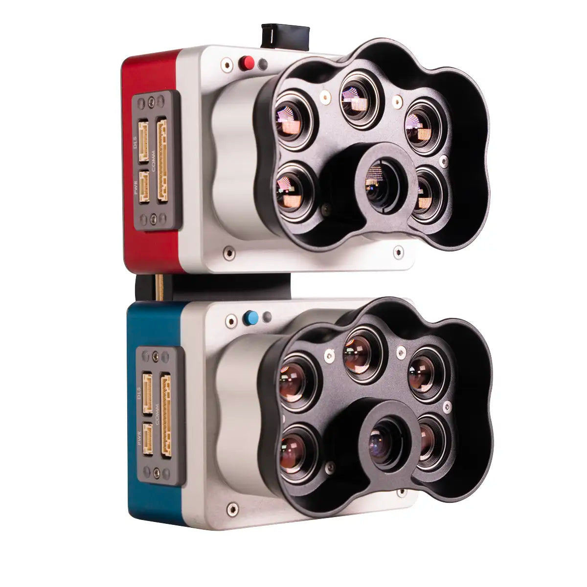
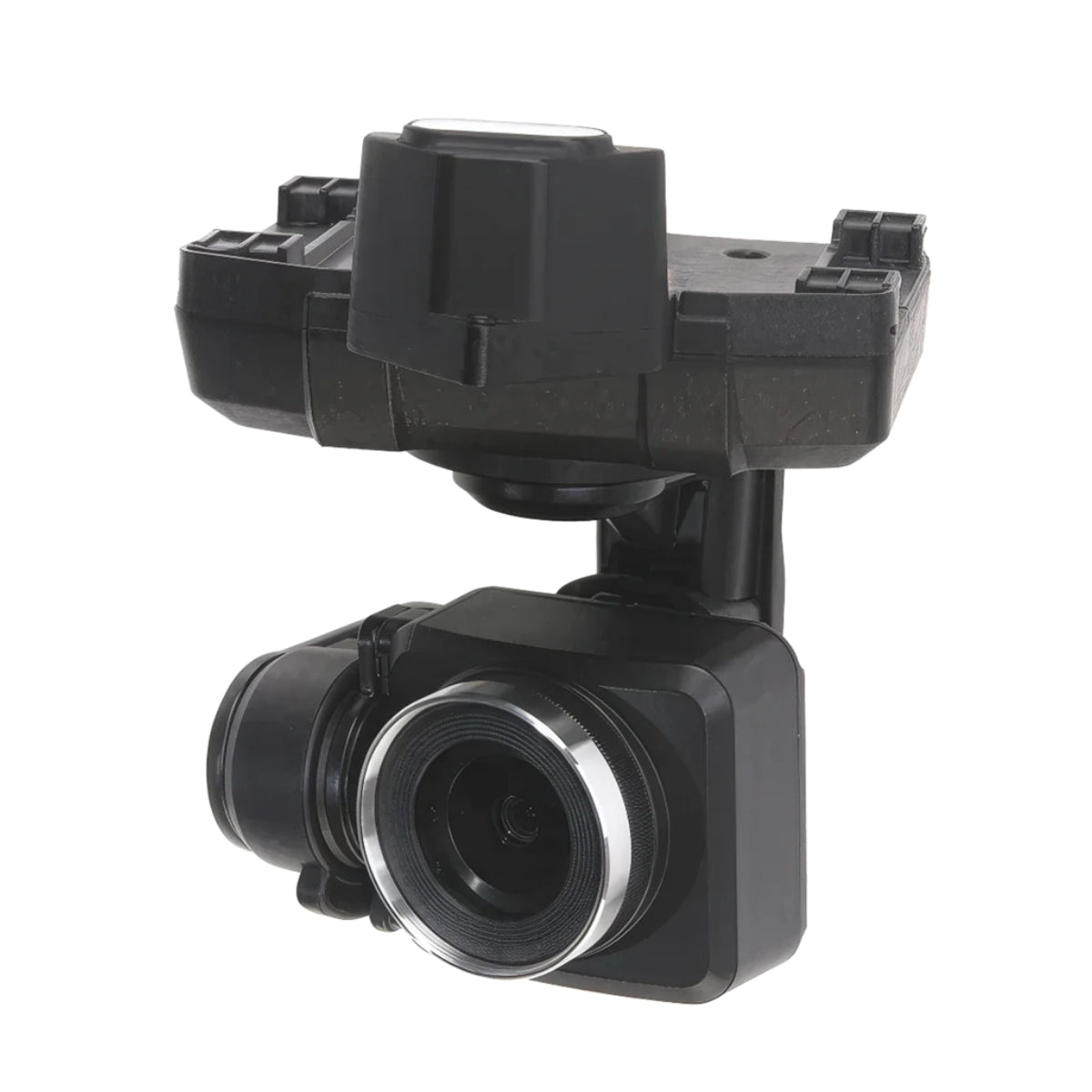
Precision starts with the right payload. For crop consultants, multispectral and RTK modules can be the difference between basic imaging and actionable insights. DSLRPros offers a suite of top-tier options tailored for agricultural needs. The ACSL SOTEN Multispectral Camera delivers dependable imaging in a compact form. For those using Autel systems, the EVO MAX RTK and Enterprise RTK modules enhance data accuracy across wide acreages.

10 Benefits Of Drones For Crop Consulting
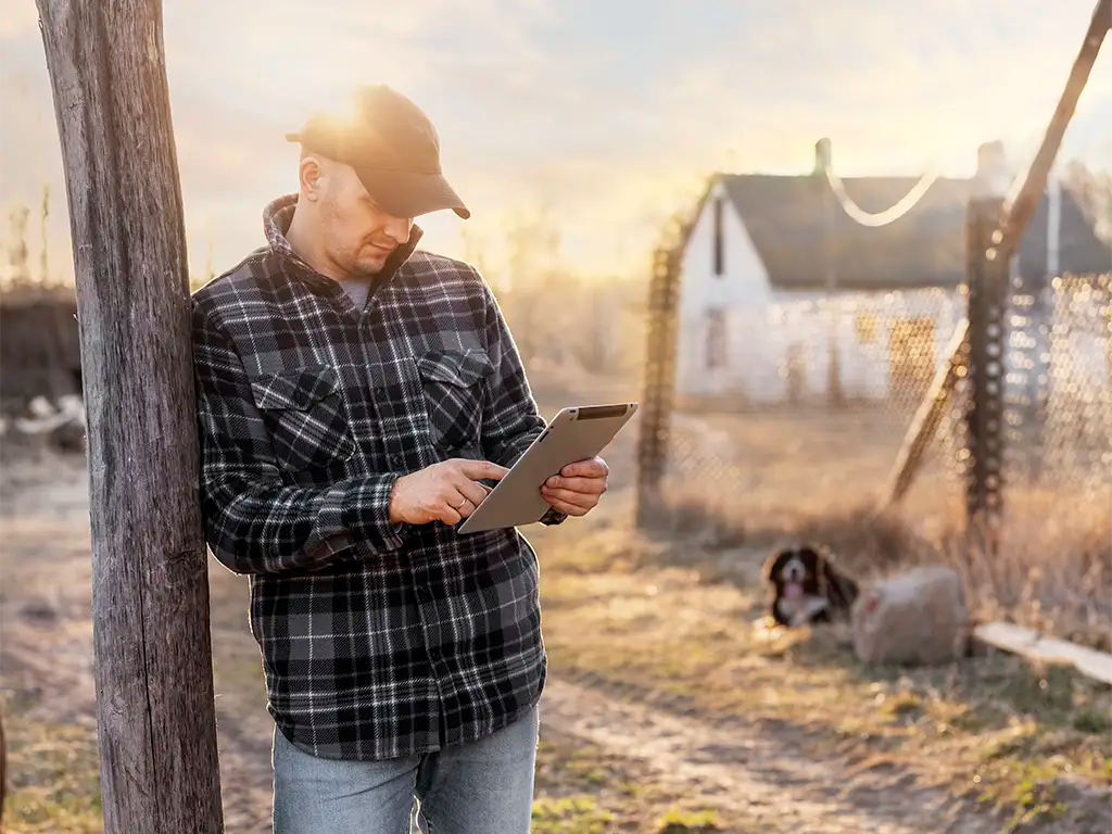
Precision agriculture demands precise tools—and drones deliver. Agronomists and consultants use aerial platforms to monitor crop stress, assess plant health, and make informed decisions that boost yield and efficiency.

Monitor Crop Health

Equipped with multispectral cameras, crop consulting drones spot subtle changes in color and light absorption—early signs of stress, disease, or nutrient issues that help keep crops healthy and yields high.

Improved Efficiency

Let’s face it—old-school crop consulting takes time and sweat. Drones, your flying assistants, cover acres in minutes, capturing detailed data fast. It’s quicker, easier, and far less labor-intensive.

Cost-Effective

Let's talk budgets. When hiring an aircraft or satellite imaging, the costs can pile up quickly. Drones for agricultural crop surveillance, on the other hand, are more wallet-friendly and offer incredible value for the data they provide.

Precise Data Collection

It’s all about the details! Crop consulting drones capture high-resolution imagery with pinpoint accuracy—helping you spot problems early, make data-driven decisions, and fine-tune your farming practices for better yields.

Early Pest and Disease Detection

Spot signs of pest infestations and diseases early by using drones for crop surveillance. Early detection can help minimize crop damage and reduce the need for expensive treatments.

Targeted Treatment

Drones provide precise data on where issues lie in your farmers’ fields. So, they can apply treatments, be it fertilizers or herbicides, specifically where they're needed. It's a win-win – costs drop, and the environment thanks them for using fewer chemicals.

Increase Yield

It’s a simple equation. By catching and addressing issues early, and refining farming practices based on precise drone data, crops thrive. And when crops thrive, yields increase, which means a bigger, healthier harvest for your farmers.

Sustainability

We all want a greener tomorrow. By enabling targeted treatments and resource-efficient farming, crop consulting drones reduce waste and support a more sustainable future for agriculture—one flight at a time.

Ease of Use

No need to worry about the tech! Modern crop consulting drones are designed to be user-friendly. With just a bit of training, farmers and crop consultants can quickly master drone operation.

Decision Support

Drones aren’t just data collectors—they’re decision-makers. By integrating drone data with GIS and agronomy tools, consultants can turn visuals into actionable strategies, improving fertilizer schedules, irrigation plans, and overall farm management.