🇺🇸 +1 877-299-1075 | Mon-Fri 7am-5pm PST
DSLRPros | Enterprise Drone Sales & Comprehensive Services

Authorized Pix4D Reseller

Explain the capability and the outcome it supports.
U.S.-Based Technical Support

Explain the capability and the outcome it supports.

Offline and BVLOS-Ready Workflows

Explain the capability and the outcome it supports.

Enterprise Deployment Assistance

Explain the capability and the outcome it supports.

Whether you're mapping post-disaster zones, modeling infrastructure, or flying BVLOS in a secure environment,

Whether you're mapping post-disaster zones, modeling infrastructure, or flying BVLOS in a secure environment,

Pix4D offers modular tools that work where your team does—no bloated cloud reliance, no forced upgrades.

Explore Pix4D Software Built for Field-Ready Mapping Workflows

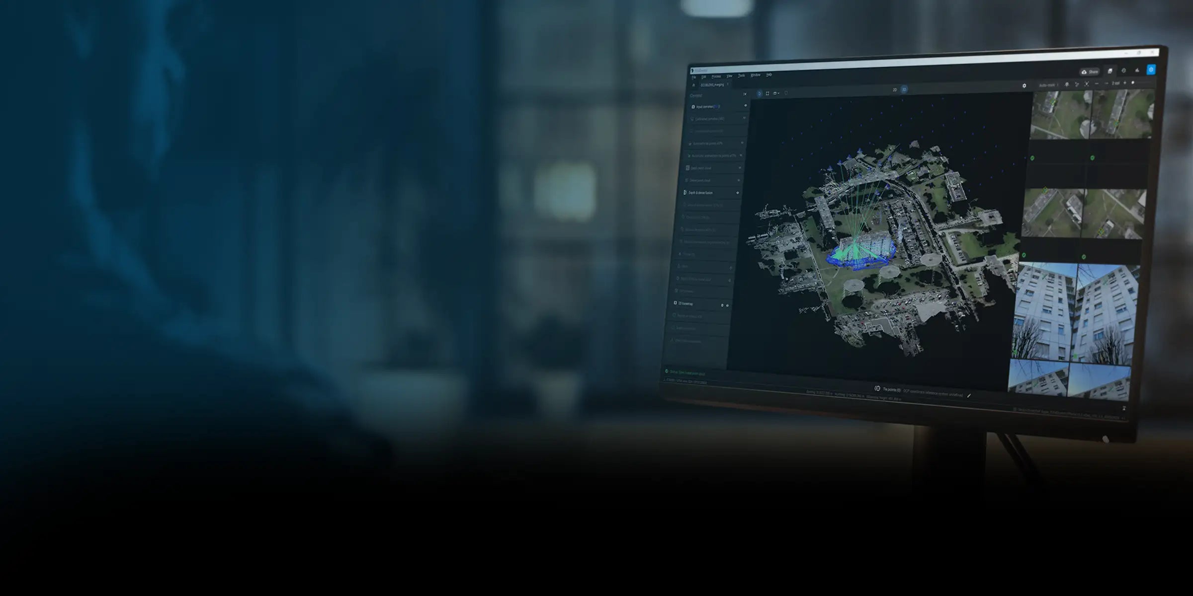
Pix4Dmapper

  • Full photogrammetry suite for creating 2D/3D maps, point clouds, orthomosaics, and contour lines
  • Ideal for surveying, construction, and high-accuracy modeling
  • Desktop-based with offline workflows and RTK drone compatibility

Pix4Dreact

  • Lightweight 2D mapping software optimized for rapid situational awareness
  • Designed for search and rescue, emergency response, and wildland fire operations
  • Runs offline on low-power laptops with fast processing speeds

Pix4Dcloud

  • Cloud-based platform for sharing, collaborating, and annotating drone maps remotely
  • Supports real-time project updates, team feedback, and streamlined site documentation
  • Ideal for AEC, infrastructure inspections, and multi-team ops

Pix4Dfields

  • Precision agriculture software for NDVI analysis and crop health mapping
  • Works with multispectral imagery and creates prescription maps for sprayers
  • Designed for farm teams, agronomists, and large-scale growers

Enterprise-Ready Mapping Without Forced Cloud Lock-In

Pix4D gives professionals full control over how they process and share their drone data. No surprise syncing. No vendor lock-in. Just accurate, field-validated mapping workflows you can run where and how you need.

Modular Software Suite

Choose only what your mission requires: desktop, cloud, or field-specific tools. Avoid bloated bundles and unnecessary costs.

RTK and PPK Support

Achieve centimeter-level precision with RTK-enabled drone inputs or post-processing workflows—ideal for surveying and modeling.

Broad Drone Compatibility

Works with DJI, FLIR, multispectral, and NDAA-compliant platforms. No hardware lock-in or forced brand pairing.

Secure, Local Data Control

Maps and images are processed on your hardware—never automatically uploaded—so you stay in charge of your data from start to finish.

Key Benefits

Offline Processing

Fast Results

Flexible Inputs

Full Integration

Pix4D in Action: Mission-Critical Applications Across Industries

Pix4D software is used across industries where data accuracy, reliability, and speed are non-negotiable.

Utilities & Infrastructure Inspection

With Pix4Dmapper or Cloud, build accurate 3D models of powerlines, towers, and substations. Identify faults, monitor changes, and export to engineering platforms.

Agriculture & Land Management

Pix4Dfields provides crop health insights, NDVI mapping, and prescription zone creation—all in the field, even without connectivity.

Frequently Asked Questions

What’s the difference between Pix4Dmapper and Pix4Dreact?

Mapper is a full photogrammetry suite for detailed 3D outputs. React is a rapid 2D mapping tool for public safety and tactical missions.

Can I use Pix4D offline?

Yes. Both Mapper and React work without internet access, ideal for remote and secure operations.

Which drones are compatible with Pix4D software?

Pix4D supports DJI Enterprise models, RTK drones, FLIR-equipped payloads, and custom/NDAA-compliant platforms.

Does Pix4D support RTK workflows?

Yes. Pix4Dmapper and Pix4Dcloud support RTK/PPK data input for survey-grade accuracy.

Is Pix4D better than DroneDeploy or DJI Terra?

Pix4D offers more control, works offline, and supports more payload types. Unlike DroneDeploy, there are no forced cloud syncs. Unlike DJI Terra, Pix4D isn't tied to one drone brand.

Can Pix4D integrate with GIS or CAD software?

Yes. Outputs are compatible with ArcGIS, AutoCAD, QGIS, and other engineering platforms.