


Professional Drones & UAV Solutions

Professional Drones for Your Business
BEST SELLING DRONES
-
ACSL SOTEN Inspection Package
Regular price $16,940.00Regular priceUnit price per -
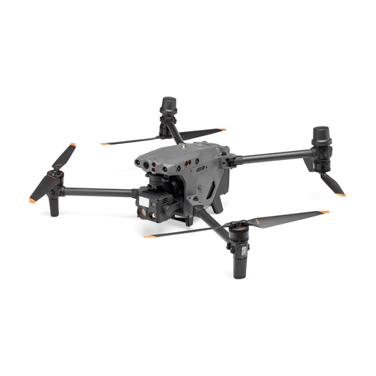
DJI Matrice 4TD Aircraft with DSLRPros Care Plus
Regular price $8,698.00Regular priceUnit price per -
DJI Matrice 400 with BS100 Battery Station + TB100 Intelligent Flight Battery
Regular price $14,249.00Regular priceUnit price per -
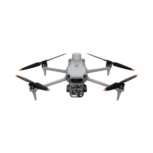
DJI Matrice 4T Universal Edition with DSLRPros Care Plus
Regular price $8,998.00Regular priceUnit price per -
DJI Matrice 30T with BS30 Battery Station and Care Enterprise Plus
Regular price $11,799.00Regular priceUnit price per -
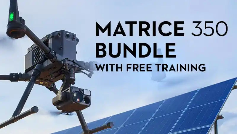
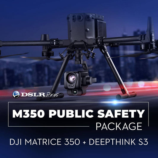
DSLRPros Matrice 350 RTK + Deepthink S3 Public Safety Package
Regular price $17,948.00Regular priceUnit price per -
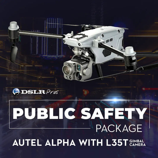
DSLRPros Autel Alpha with L35T Gimbal Public Safety Package
Regular price $24,151.00Regular priceUnit price per -
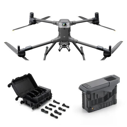
DJI Matrice 350 RTK with Care Enterprise Basic
Regular price $10,949.00Regular priceUnit price per
The Best Professional Drone Packages & Training Courses
UAV SOLUTIONS BY INDUSTRY
-

Public Safety Drones
-
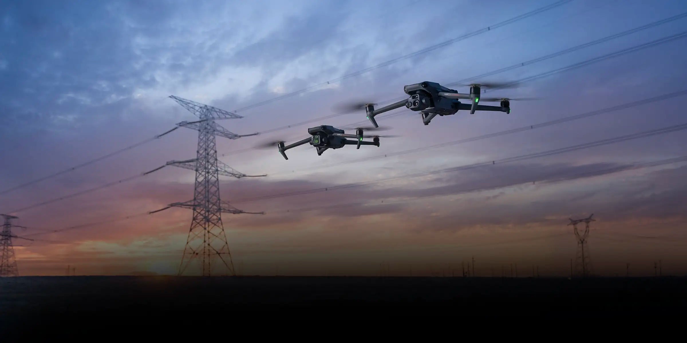
Energy and Utilities Drones
-
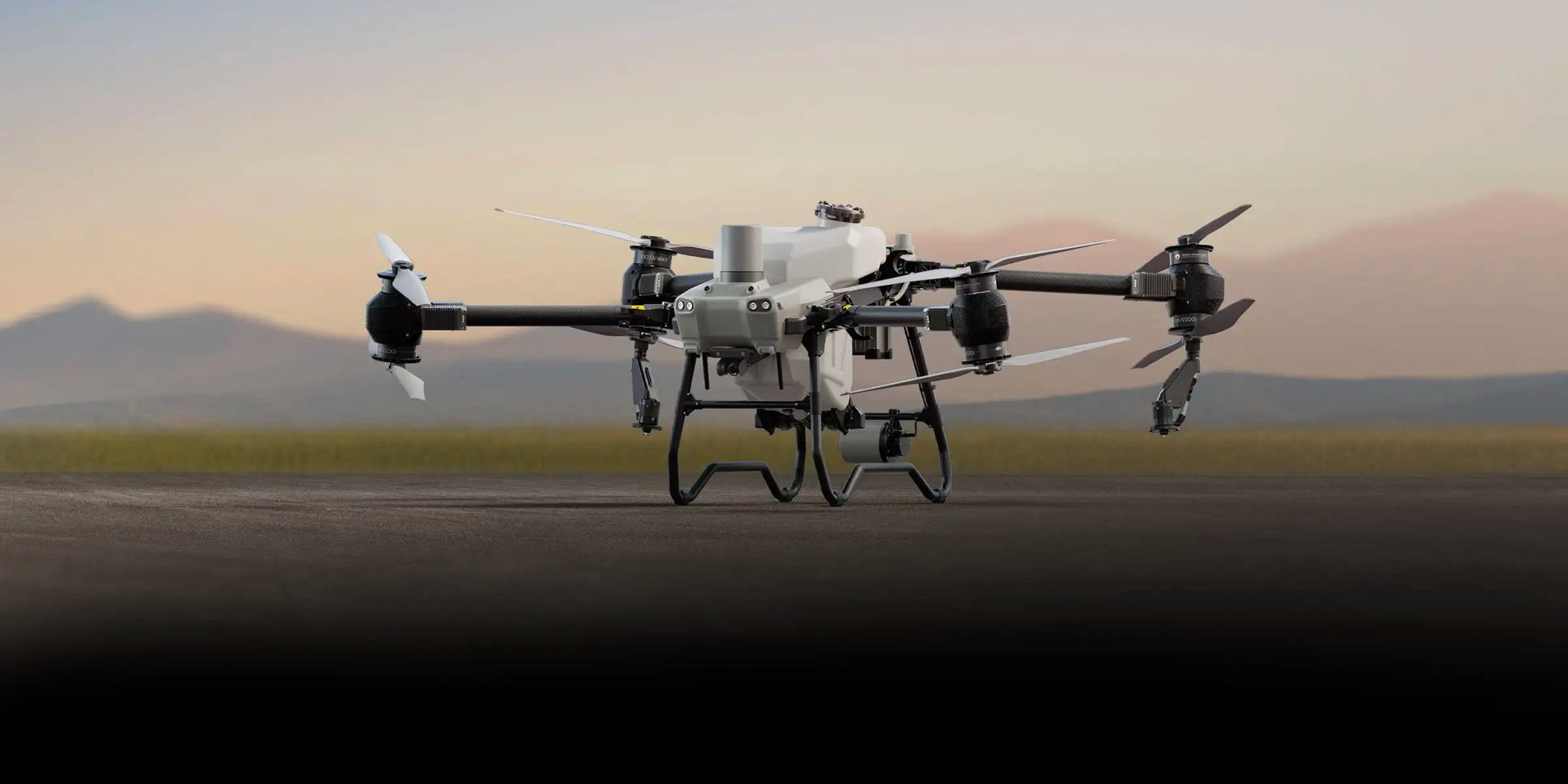
Agriculture and Farming Drones
-
Drones for Construction and Survey Projects


Drone Trends
-

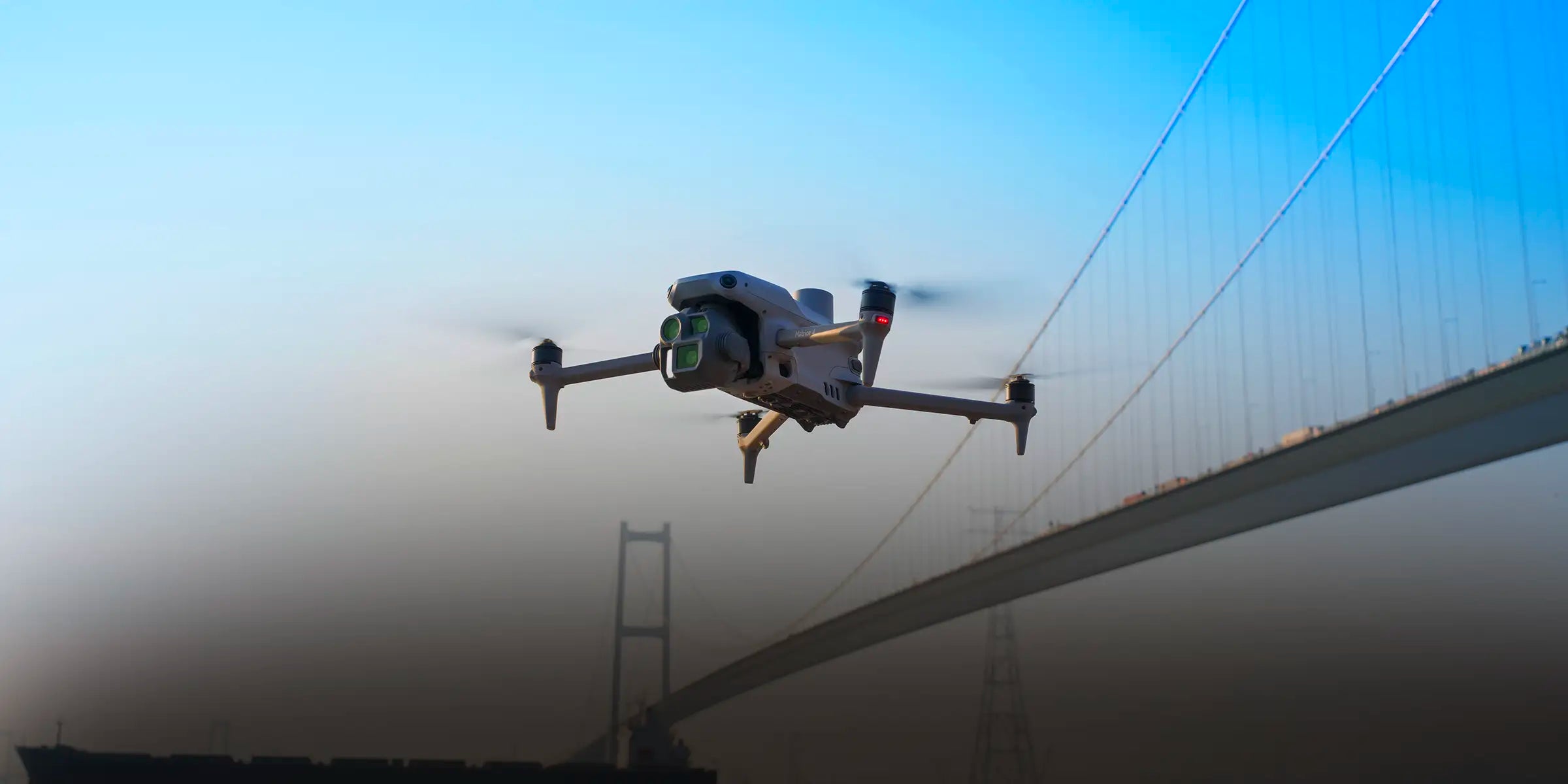
Aerial Precision: How Drones Are Transforming Surveying and Inspection Workflows
For decades, engineers relied on tripods, scaffolds, and manned aircraft to gather field data. The process was slow, costly, and risky, especially near power lines or unstable terrain. Aerial mapping drones have changed that. Modern UAV platforms equipped with RTK/PPK positioning, LiDAR, and thermal payloads now deliver centimeter-level accuracy and real-time insights. What once took survey crews days can now...
-
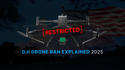
A Complete Guide to the DJI Drone Ban 2025
Updated for 2025 – What It Means for Mapping, Inspection, Public Safety, and More The DJI drone ban is not hypothetical—it’s on a federal countdown. Under the 2025 NDAA, if no national security agency audits DJI by December 23, 2025, the FCC is required to blacklist the company. That means no new model approvals, firmware authorizations, or imports. This guide...
-
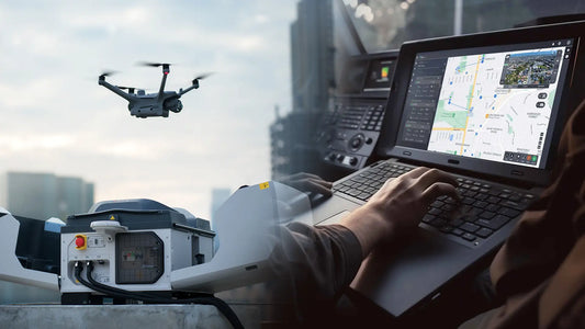
Drone Mapping Software Comparison Guide
Choosing the right drone software is one of the biggest decisions professionals face today. The right platform can mean the difference between centimeter-level accuracy and costly rework, or between audit-ready logs and hours of manual cleanup. With so many tools competing for attention—cloud platforms, desktop photogrammetry engines, open-source projects—professionals need clarity. This 2025 guide delivers that clarity. We break down...


