


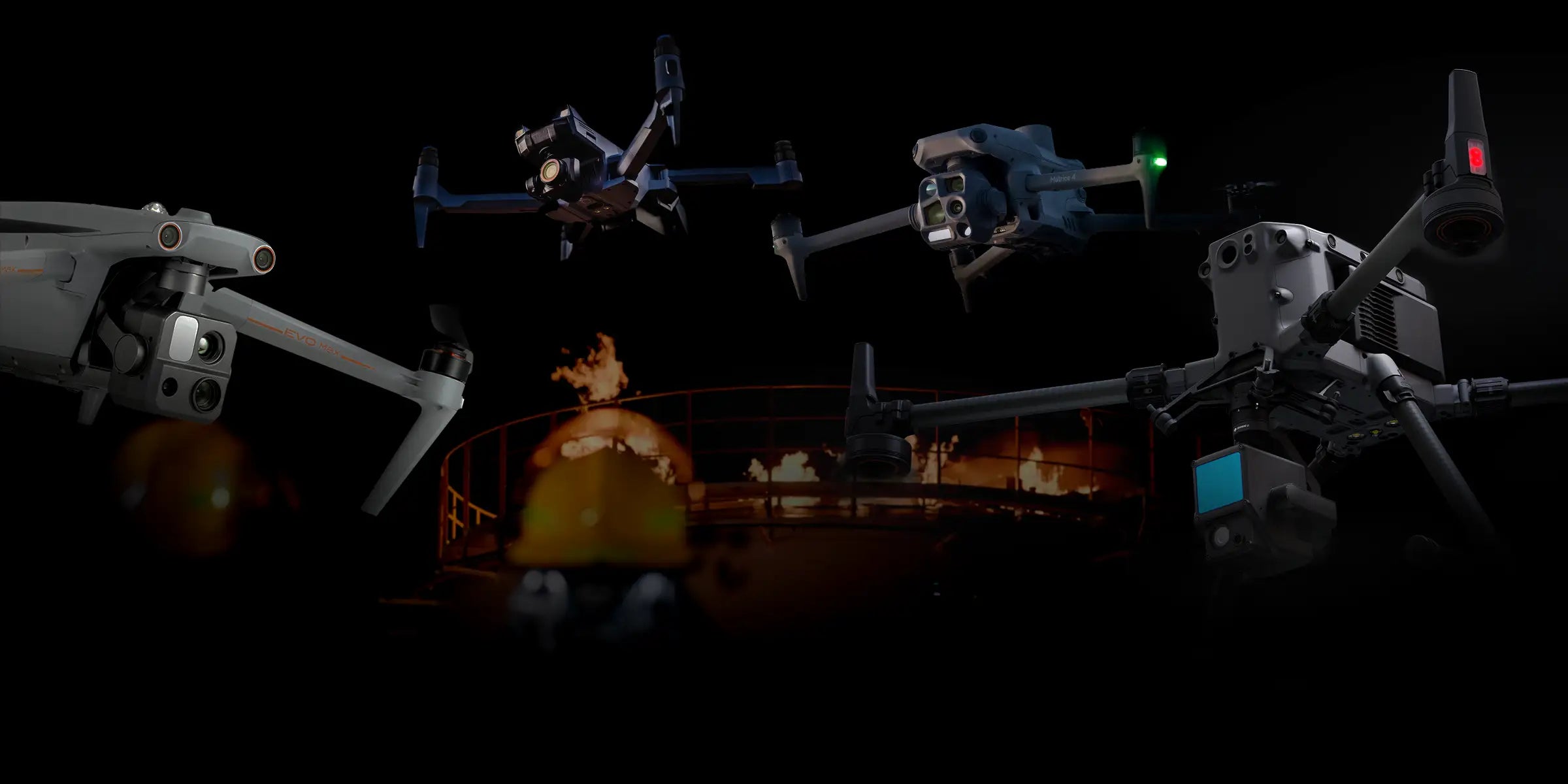
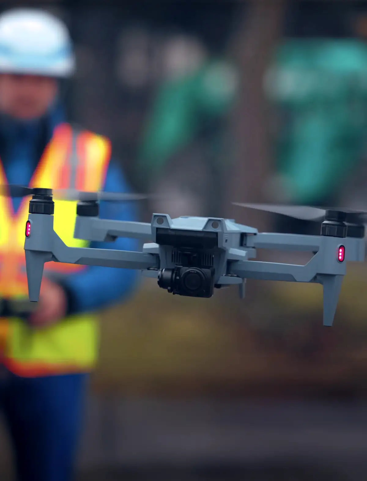
Faster, Safer Inspections Start with Thermal UAVs
Solutions
-
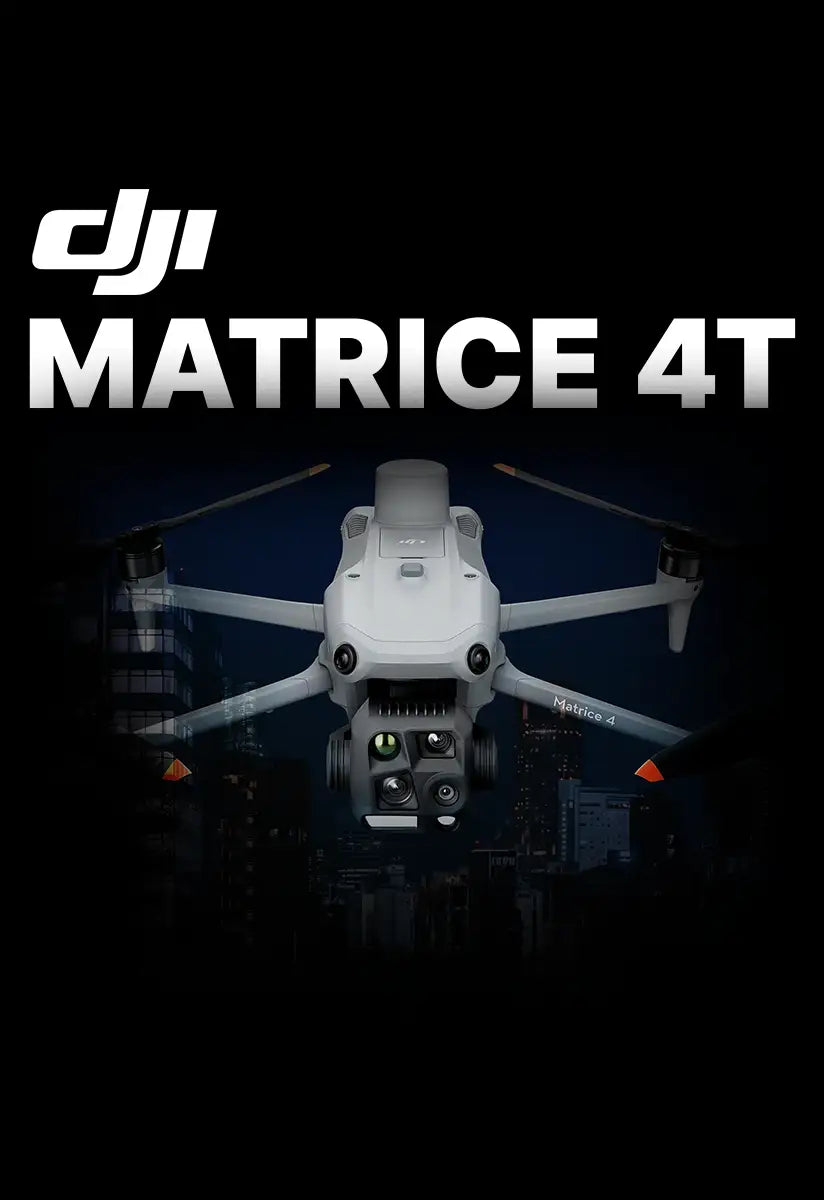
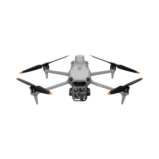
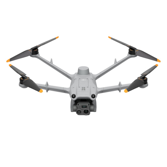
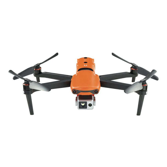
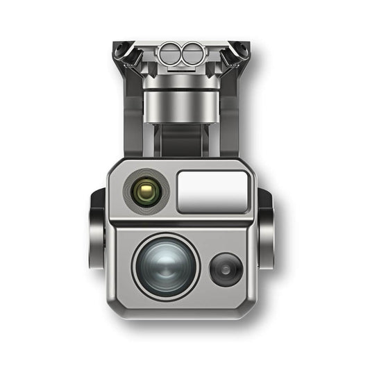
DJI Matrice 4T Universal Edition
Regular price $7,999.00Regular priceUnit price per -
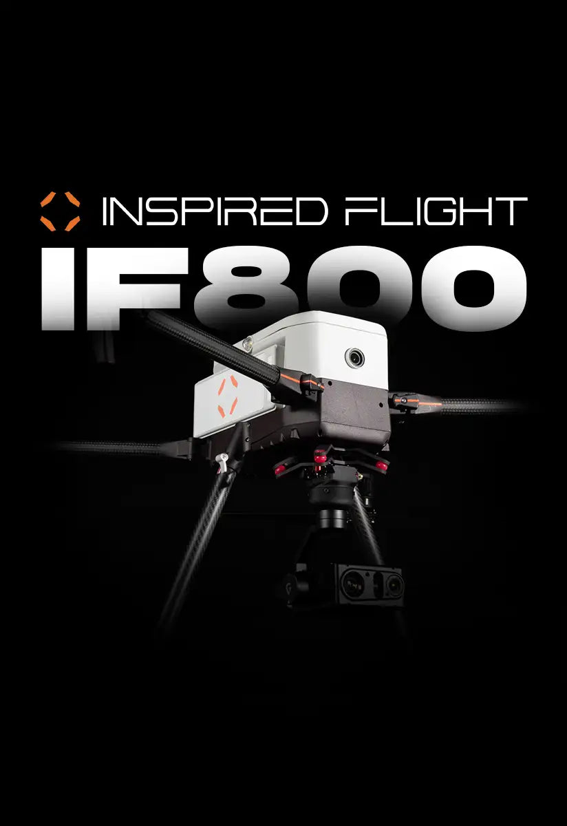
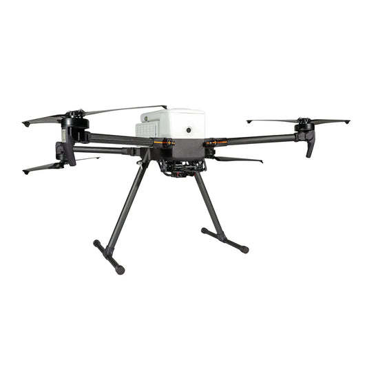
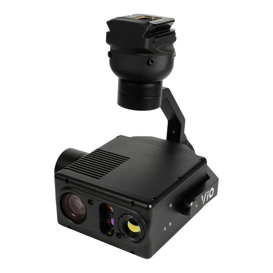
Inspired Flight IF800 Blue Herelink + Gremsy VIO Bundle
Regular price $35,950.00Regular priceUnit price per -
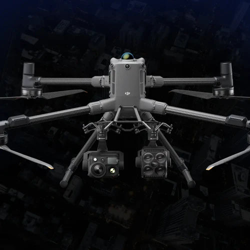
DJI Matrice 4TD with Care Enterprise Plus
Regular price $8,749.00Regular priceUnit price per -
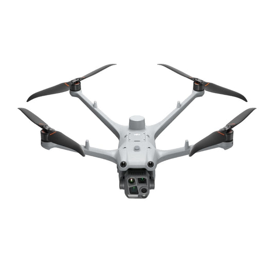
DJI Matrice 3TD
Regular price $10,233.00Regular priceUnit price per -
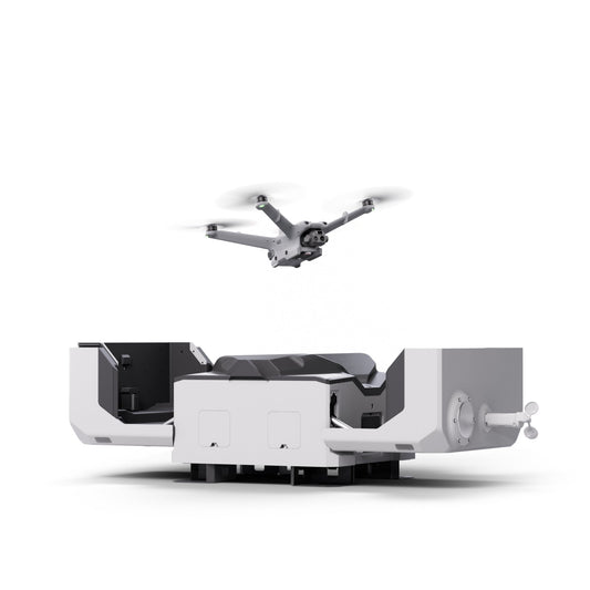
DJI Dock 2 + Matrice 3TD
Regular price $19,247.00Regular priceUnit price per -
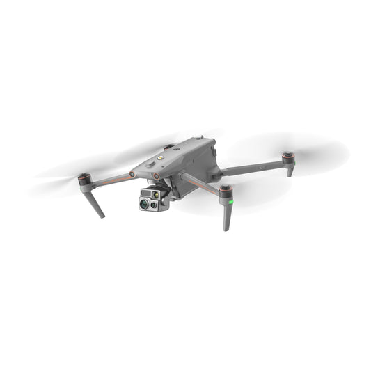
DJI Matrice 30T with Care Enterprise, Battery Station + 2 Batteries
Regular price From $12,930.00Regular priceUnit price per -
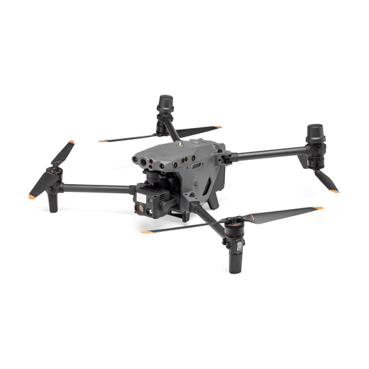
DJI Matrice 350 RTK Drone with Care Enterprise Basic + GPC Case
Regular price $12,083.00Regular priceUnit price per -
Autel Alpha with L35T Gimbal Camera
Regular price $19,289.00Regular priceUnit price per -
Autel EVO Max 4T XE
Regular price $8,999.00Regular priceUnit price per -
Autel EVO II Dual 640T Rugged Bundle V3
Regular price $4,799.00Regular priceUnit price per


-
Deepthink S3 Tri-Sensor Night Vision Thermal Imaging Camera
Regular price $7,899.00Regular priceUnit price per -
Autel EVO Max 4T Gimbal Camera
Regular price $4,099.00Regular priceUnit price per -
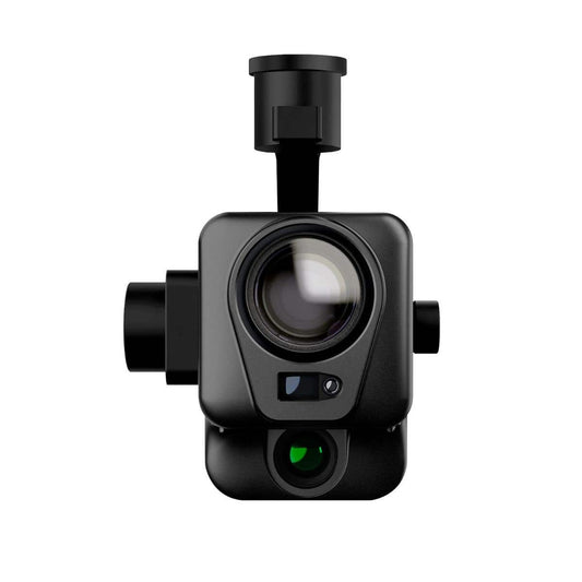
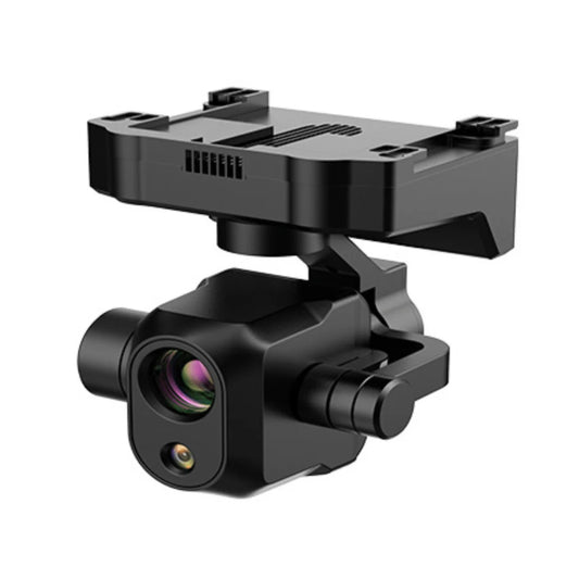
FLIR Vue TZ20 Dual Thermal Camera
Regular price $2,099.00Regular priceUnit price per$5,500.00Sale price $2,099.00Sale -
Autel EVO Max 4N Gimbal Camera
Regular price $7,699.00Regular priceUnit price per -
Inspired Flight Gremsy VIO Payload for IF800
Regular price $14,000.00Regular priceUnit price per -
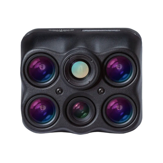
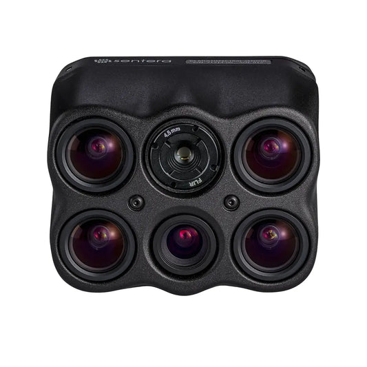
Sentera 6X Thermal Pro Sensor Kit for M300/M350
Regular price $20,275.00Regular priceUnit price per -
Sentera 6X Thermal Sensor Kit for M300/M350
Regular price $16,750.00Regular priceUnit price per -
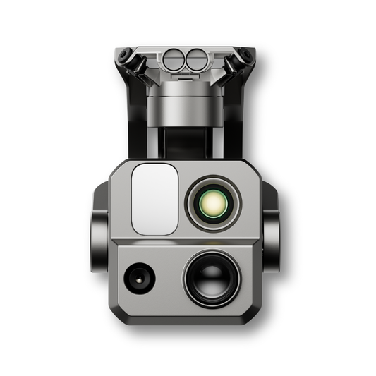
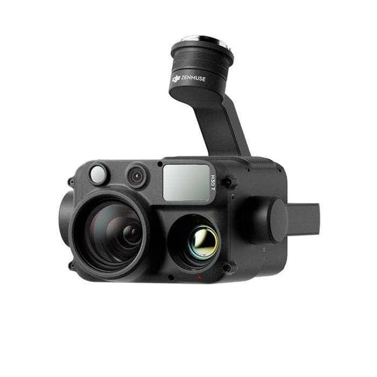
DJI Zenmuse H30T with Care Enterprise Plus
Regular price $14,621.00Regular priceUnit price per

-
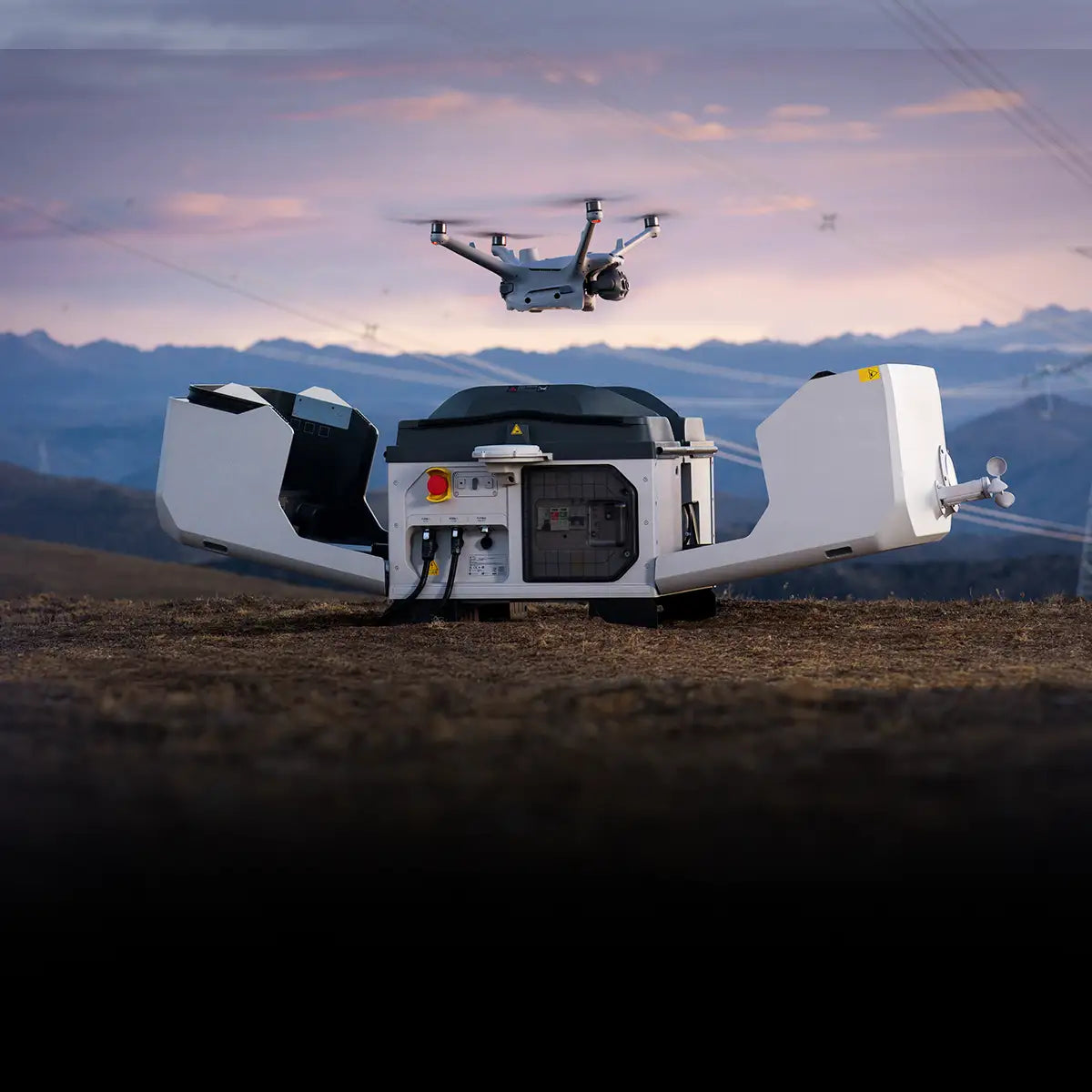
Rapid Deployment
-
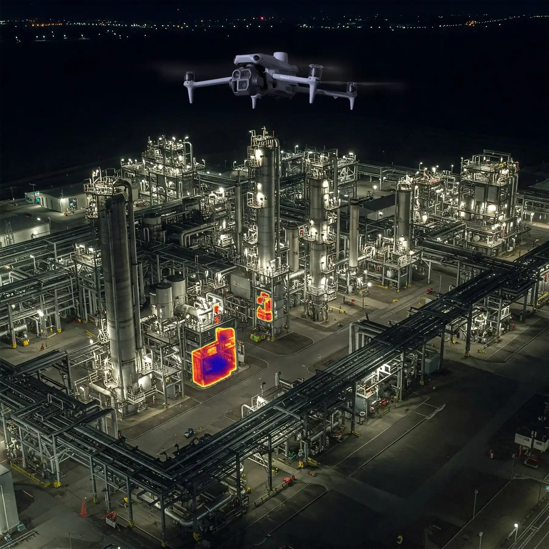
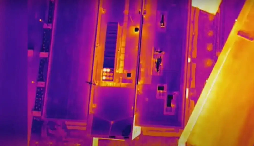
Real-Time Heat Detection
-
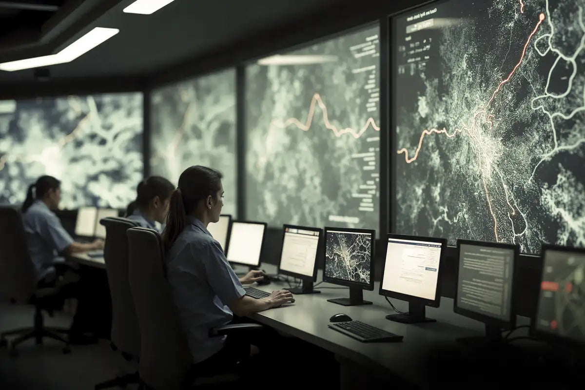
Enhanced Situational Awareness
-
Access to Hard-to-Reach Areas
-
24/7 Mission Readiness
-
Live Video Transmission
-
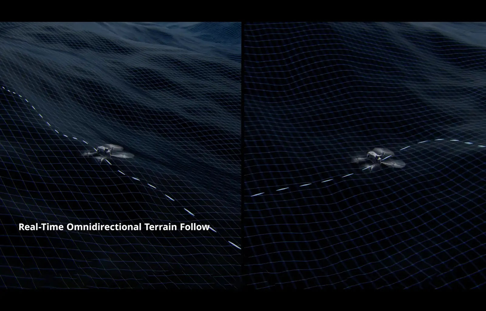
Automated Flight Paths
-
Safer Inspections
-
Immediate Image Capture
-
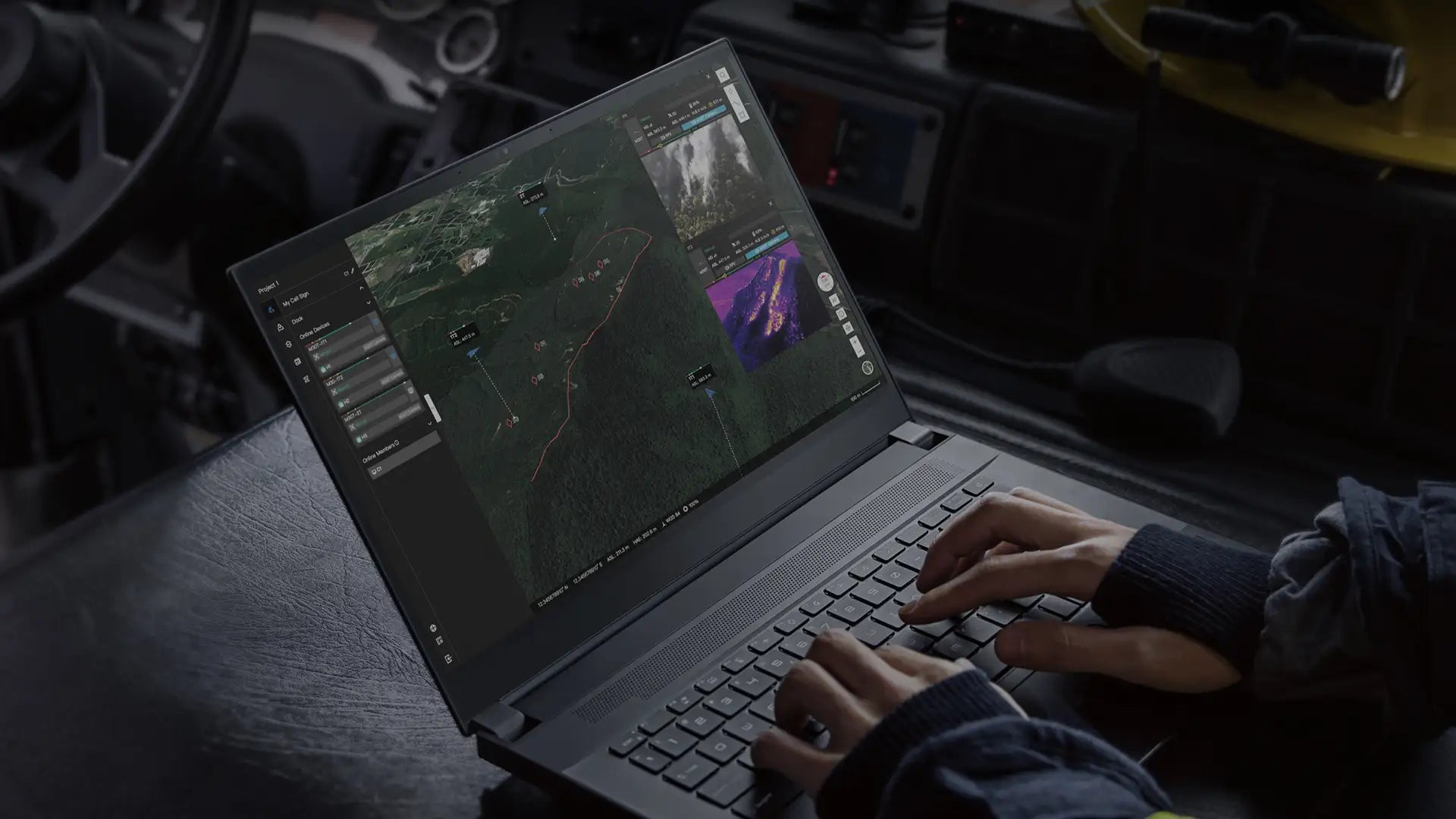
Streamlined Reporting


-

Search and Rescue (SAR)
-

Wildfire Management
-

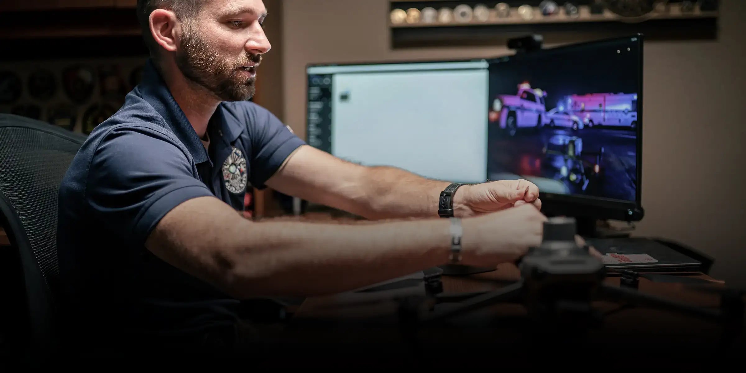
Law Enforcement Surveillance
-
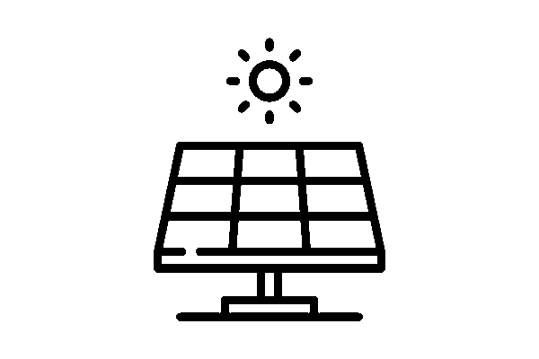
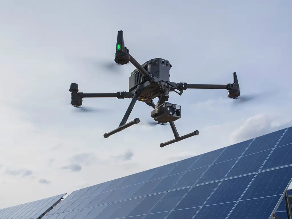
Solar Panel Inspections
-
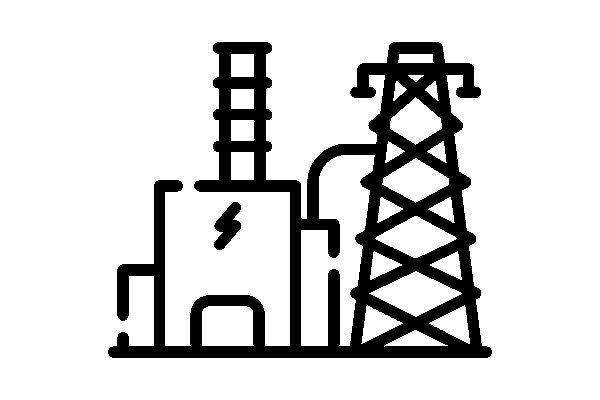
Substation & Transformer Monitoring
-
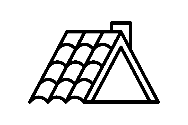
Roof & Building Envelope Analysis
-
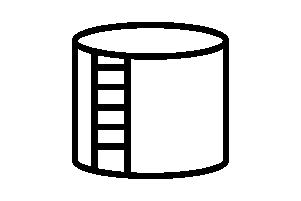
Pipeline and Tank Inspections
-
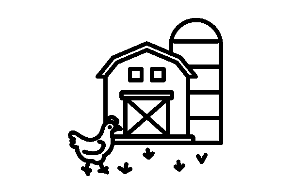
Livestock Monitoring
-
Perimeter Security
-
Emergency Response Planning


The DSLRPros Advantage
-

UAV THERMAL EXPERTS
We are industry leaders in thermal imaging drones. As one of the pioneers in thermal drone technology, our team of experts will help you build a custom solution that meets both your budget and needs.
-

MISSION SPECIFIC SOLUTIONS
We specialize in the development and delivery of cost-effective mission-specific enterprise solutions. All our kits are specially designed, assembled, and individually tested for quality assurance in the United States.
-

AFTER PURCHASE SUPPORT
Our customer service doesn't just end with your purchase; we go the extra mile to make sure our customers have the guidance they need. As our customer, you will know us by name and can count on us for support whenever you need it.


- Choosing a selection results in a full page refresh.
- Opens in a new window.