


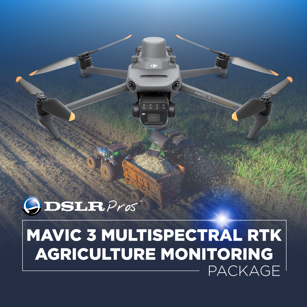


DJI Mavic 3 Multispectral RTK Agriculture Monitoring Package
Smarter crop insights from every flight
The DJI Mavic 3 Multispectral RTK Agriculture Monitoring Package gives growers, agronomists, and researchers the tools to see what’s happening in their fields before the problems show up.
Deploy a compact, ready-to-fly system that combines multispectral imaging, RTK precision, and long-endurance flight. Whether you're managing a 20-acre test plot or 2,000 hectares of row crops, this bundle captures accurate, actionable data in less time—and with fewer passes.
What’s in the Package
This bundle includes everything needed to scout, map, and analyze crop health:
- DJI Mavic 3 Multispectral (aircraft): Top multispectral drone with RGB + four-band multispectral sensor array.
- DJI Care Enterprise Basic (M3M): 12-month damage-coverage plan with low-cost replacements.
- DJI Mavic 3 Enterprise Battery Kit: Three high-capacity batteries and 100 W charging hub for all-day field work.
- D-RTK 2 Mobile Station: Survey-grade GNSS base providing centimeter-level corrections in real time.
- GPC D-RTK 2 Ground Station Bag: Rugged, custom-cut foam bag that shields the base station during transport.
- GPC Tripod Bag for D-RTK 2 / 3: Weather-resistant case sized for the survey tripod and accessories.
Key Benefits
Dual-Sensor Imaging System
- 20MP RGB 4/3 CMOS camera
- 4 multispectral lenses (5MP each): Green, Red, Red Edge, NIR
- Integrated sunlight sensor for index stability
RTK-Enabled Precision
- ±3 cm positioning accuracy
- No ground control points required
- Flight logs are automatically geotagged and ready for stitching
Flight Efficiency
- 43-minute max flight time
- Covers up to 200 hectares per flight
- Hot-swappable batteries keep operations moving
Enterprise Reliability
- O3 Enterprise transmission with 15 km range
- 360° obstacle sensing for terrain-follow and tree-line safety
- Seamless integration with DJI Terra and third-party ag software
Specs at a Glance
| Feature | Specification |
|---|---|
| RGB Camera | 20MP 4/3 CMOS |
| Multispectral Lenses | 5MP (G, R, RE, NIR) |
| RTK Accuracy | ±3 cm |
| Flight Time | Up to 43 minutes |
| Max Coverage | 200 hectares per flight |
| Transmission Range | 15 km (O3 Enterprise) |
| Obstacle Avoidance | 360° omnidirectional |
| Sunlight Sensor | Included, mounted top-frame |
| Battery Kit | 3 high-capacity batteries + hub |
| GNSS Support | GPS + Galileo + BeiDou |
| Software Compatibility | DJI Terra, DroneDeploy, Pix4D, Agisoft |
Use Cases for Multispectral Drone Mapping
- Orchard Health Monitoring: See early-stage stress and irrigation issues tree by tree. Generate detailed zone maps for block-level input management.
- Variable-Rate Application: Use NDVI and NDRE outputs to build prescription maps for seeding, spraying, or nutrient delivery.
- Stand Count and Emergence Tracking: Evaluate germination rates and uniformity early in the season when timely replanting decisions can still be made.
- Environmental Compliance: Document buffer zones, erosion risks, and runoff patterns to meet reporting requirements.
- Forestry and Biomass Analysis: Track vegetation health, growth rate, and disease pressure in timberlands or reforestation areas.
Frequently Asked Questions
What crops can I use the Mavic 3 Multispectral RTK package for?
It works across almost all crop types: corn, soybeans, orchards, vineyards, wheat, rice, and more. The sensor combination is designed for early stress detection in any vegetative canopy.
Do I need ground control points for accurate maps?
No. The RTK system paired with the D-RTK 2 base station delivers ±3 cm positioning accuracy—no GCPs required for most ag workflows.
How large of an area can it map in one flight? Up to 200 hectares per flight in optimal conditions with the included battery kit.
What software can I use to process the data?
You can use DJI Terra or third-party ag platforms like DroneDeploy, Pix4Dfields, or Agisoft Metashape.
Is the system ready to fly out of the box?
Yes. DSLRPros technicians calibrate, update, and test every system before shipment. Everything you need—hardware, software, batteries, and support—is included.
Why Buy from DSLRPros
We work with real operators—farmers, agronomists, crop scouts, and researchers. Every Mavic 3 Multispectral system is flight-tested, firmware-updated, and configured before shipping. We also support you long after the purchase with:
- Remote setup walkthroughs
- Software integration assistance
- Replacement and upgrade advice
- Custom payload and workflow consulting
You focus on the crops. We’ll handle the drone.
Start Flying Smarter Today
Order the DJI Mavic 3 Multispectral RTK Agriculture Monitoring Package from DSLRPros and turn field-level data into higher yields and lower input costs.
Shop More Agriculture Drone Bundles or Contact Us for a consultation.

