🇺🇸 +1 877-299-1075 | Mon-Fri 7am-5pm PST
DSLRPros | Enterprise Drone Sales & Comprehensive Services

Elevate Roof Inspections with Drones

Roof Inspection Drones and Bundles

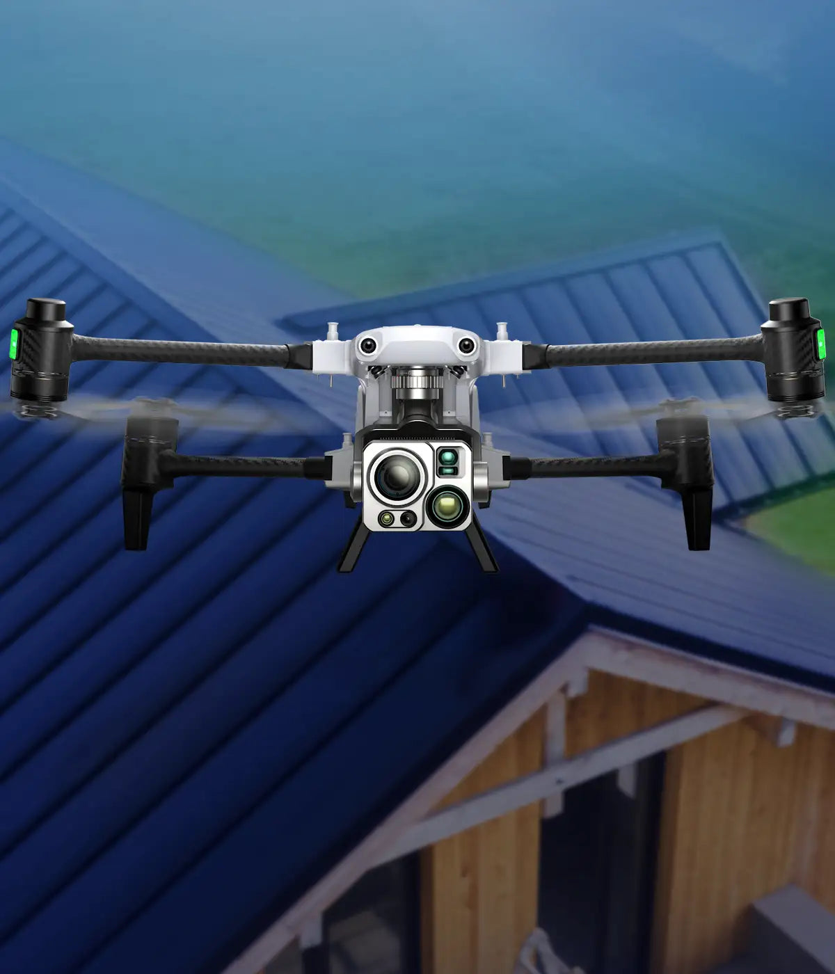
When inspecting rooftops, selecting the right drone is crucial for accuracy and safety. For high-resolution mapping, the DJI Matrice 4E Professional Mapping Package and Autel Alpha with L35T Package excel in precision. For thermal visibility, the DJI Matrice 400 + Zenmuse L3 Mapping Bundle provides powerful infrared imaging.
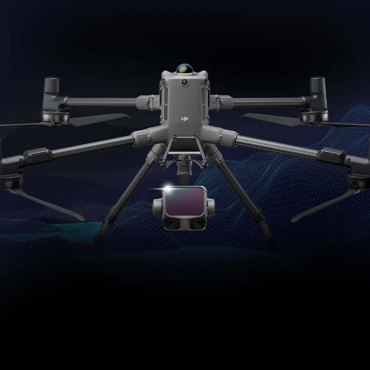
DSLRPros Matrice 400 + Zenmuse L3 Mapping Bundle

Complete mapping bundle: aircraft, LiDAR payload, and power accessories included

Zenmuse L3 LiDAR: 950 m @ 10% (100 kHz), 2–4 cm accuracy, 16 returns

Dual 100 MP cameras: produce orthophotos and colorized 3D models

Matrice 400 RTK: reliable flight platform with centimeter-level precision

Adjustable scan rates: 100 kHz – 2 MHz for terrain or density optimization

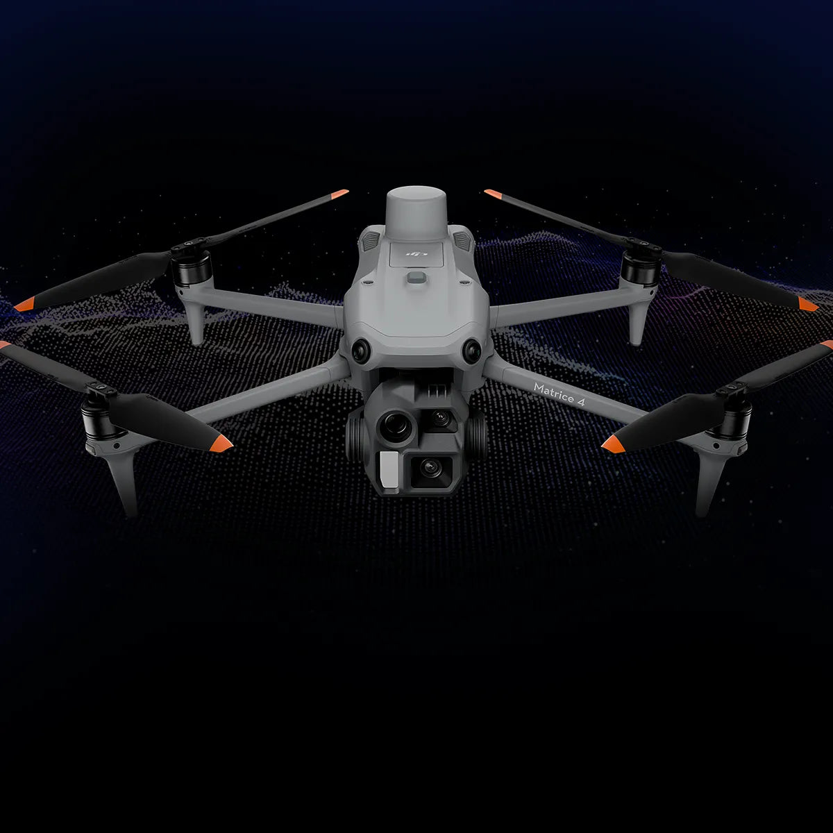
DSLRPros Matrice 4E Professional Mapping Package

Matrice 4E 48 MP wide camera provides detailed imagery for mapping tasks

1/1.3-inch CMOS sensor improves clarity and consistency across survey missions

Tele camera enhances feature identification for supplemental inspection detail

Laser rangefinder delivers accurate readings up to 1,800 meters distance

RTK-enabled flight ensures centimeter-level accuracy for professional surveys

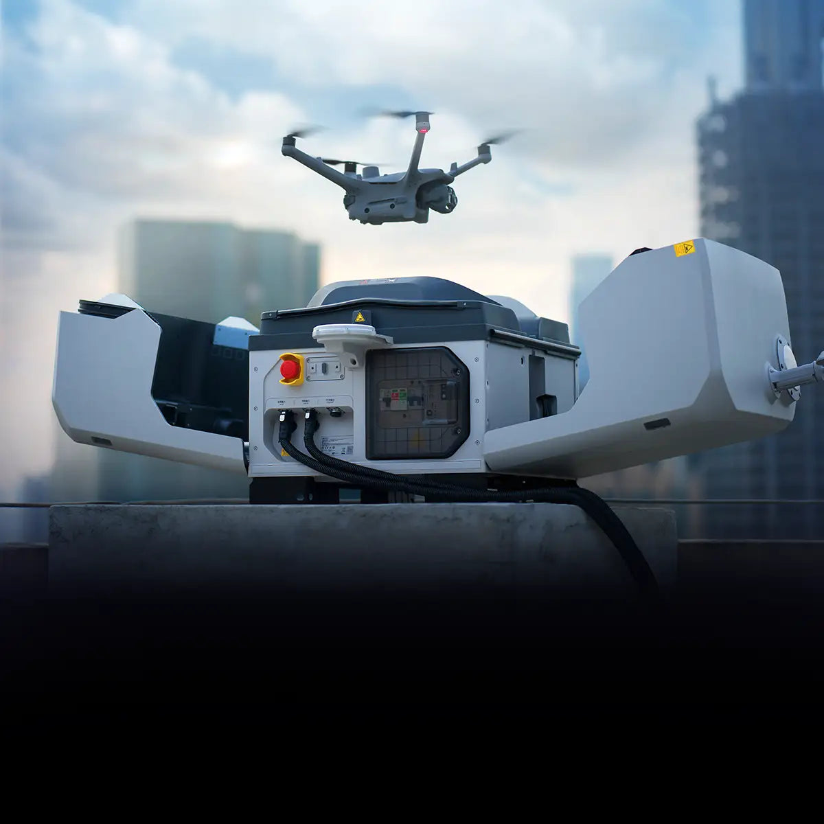
DSLRPros Dock 3 Ready To Fly Bundle

DJI Dock 3 for all-weather automated drone operations and vehicle-mounted deployment

DJI Matrice 4TD drone for advanced thermal and visual imaging

FlytBase Zero subscription for cloud-based mission control

DJI RC Pllus 2 Enterprise Controller for reliable and precise drone command

Pre-configured bundle ready for immediate deployment

DSLRPros Autel Alpha with L35T Gimbal Utility Inspection Package

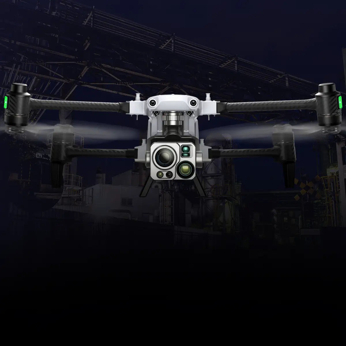
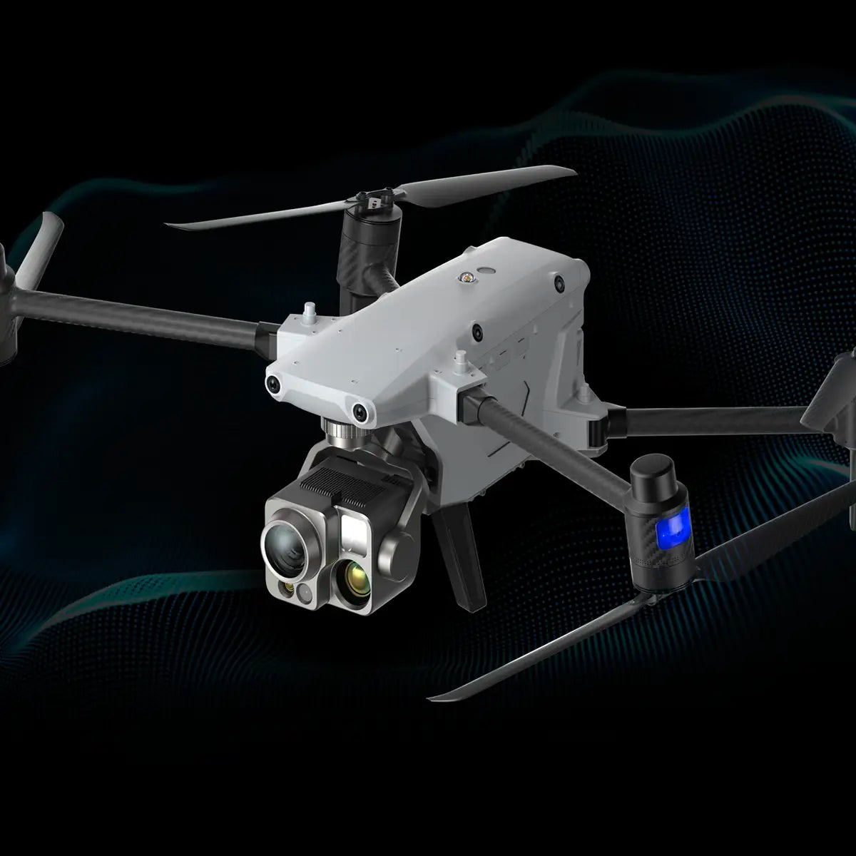
Autel Alpha drone with L35T gimbal integrating zoom, wide, thermal, and laser sensors

35× optical and 560× hybrid zoom for close inspection from a safe distance

Dual thermal sensors to detect overheating components or hidden faults

Laser rangefinder up to 2 km for verifying measurements and clearances

Three hot-swappable batteries to maximize flight endurance in the field

DSLRPros Autel EVO II 640T Roof Inspection Package

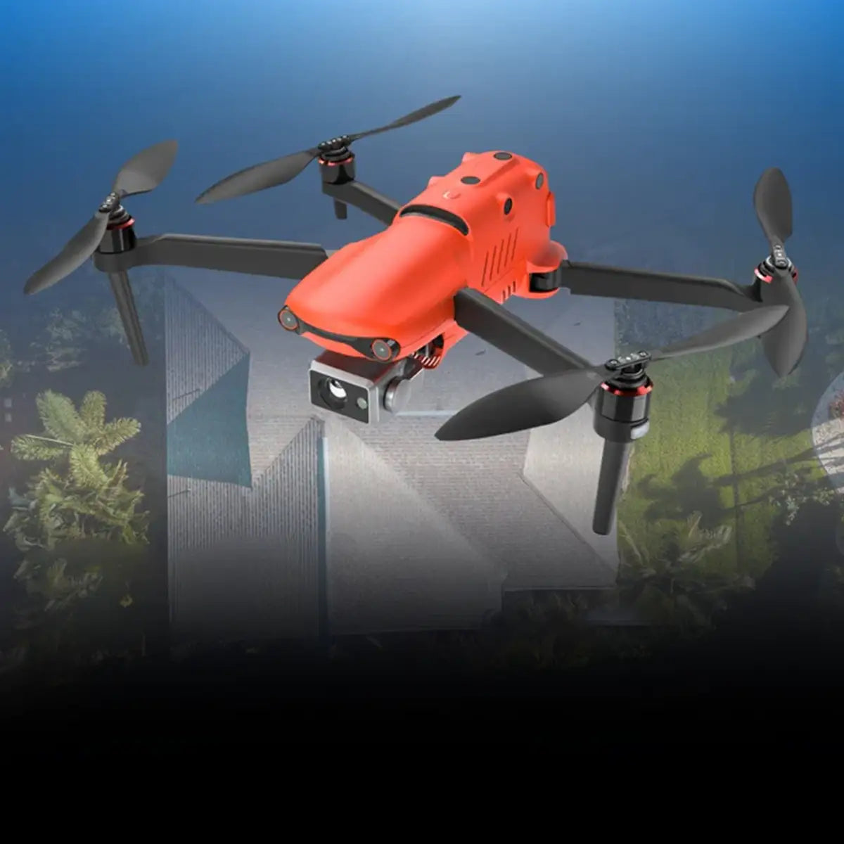
All-in-one compact roof inspection solution

640x512 radiometric thermal images

13-mm focal length lens with 16x digital zoom

Multiple temperature measurement modes

Powerful infrared thermal analysis tool

40% more light sensitivity in low light scenarios

4k HDR

SkyLink 2.0 video transmission up to 15 km

360° obstacle avoidance

38-minute maximum flight time

DSLRPros Ultimate LiDAR Combo (Land/Air)

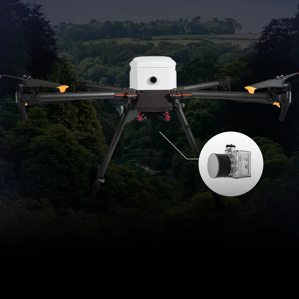
Inspired Flight IF800 Drone: 54-minute flight time, 1.5 kg payload, foldable design.

LiAir X3CH LiDAR: Up to 300m detection, 26MP camera, high point rates.

LiDAR360 Software: Advanced data processing and visualization tools.

Handheld Attachment: Ground-based LiDAR scanning versatility.

Use Cases: Topographic surveys, forestry management, urban planning, archaeology.

DSLRPros DJI Mavic 3 Enterprise Professional Mapping Package

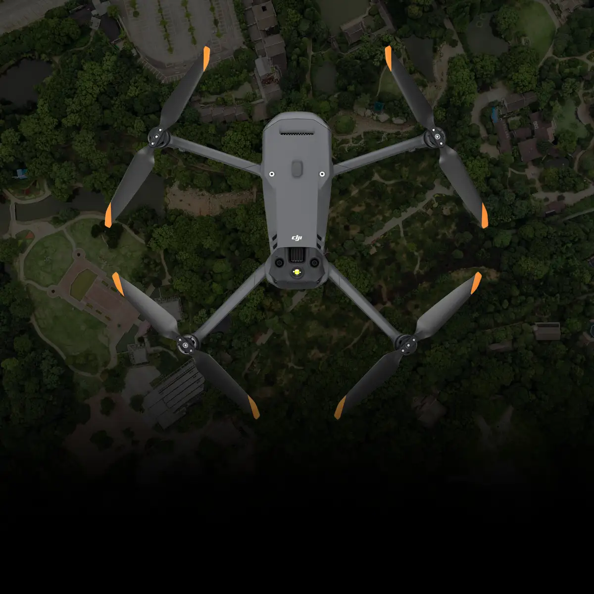
Compact and portable, weighing only 915 g

4/3 CMOS 20-MP wide cam with mechanical shutter

56x hybrid zoom

45-minute maximum flight time

DJI O3 Enterprise image transmission

Omnidirectional obstacle avoidance

Includes DJI Care Enterprise Basic 2-Year

Customizable package

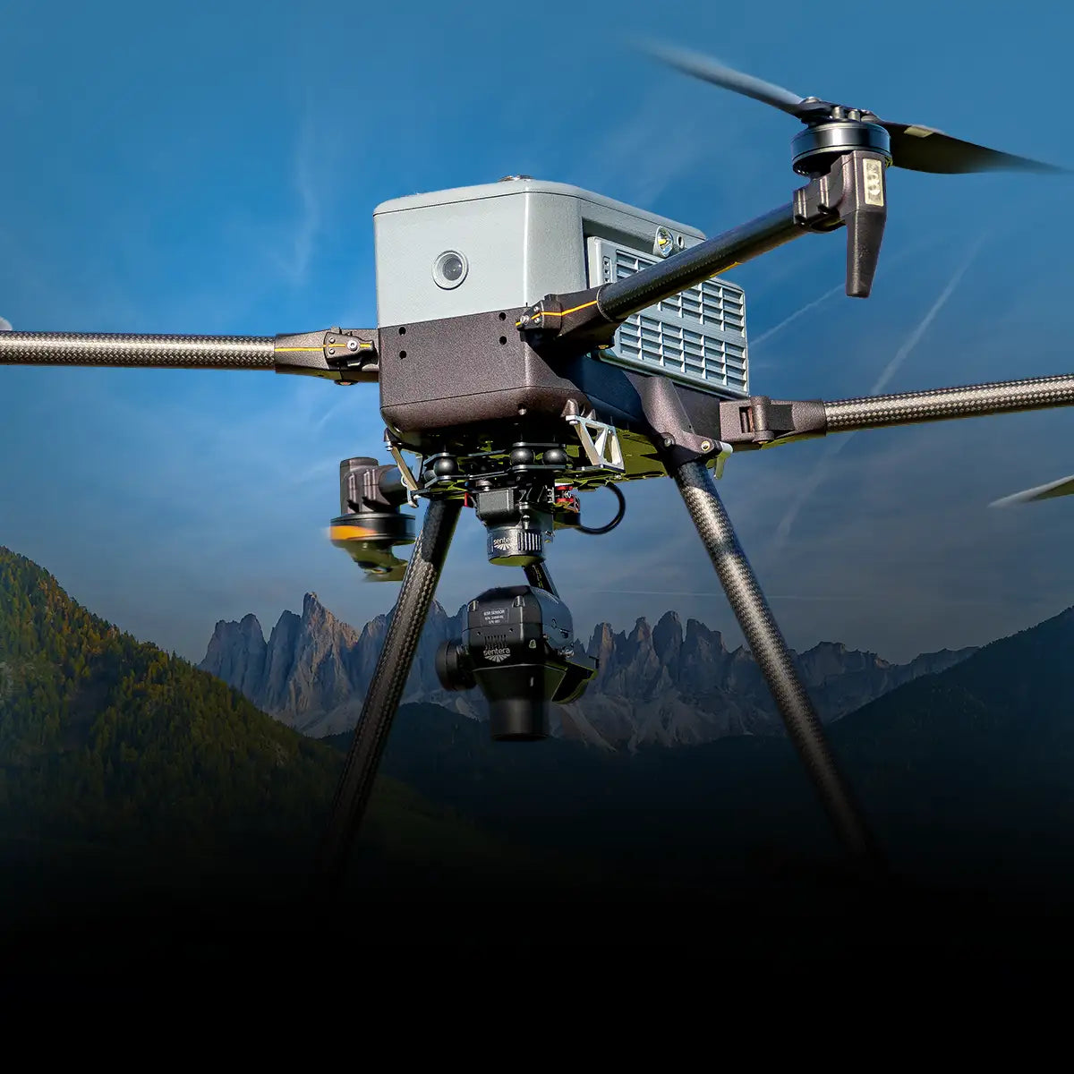
DSLRPros Inspired Flight IF800 Sentera 65R Mapping Combo

IF800 Quadcopter with Blue Herelink Ground Control Station

Sentera 65R payload with 0.45cm/pixel resolution

Dual hot-swappable batteries, 54-minute flight time

Optional: Battery Kit, Battery Set, Spare Propeller Set, Spare Part Kit

Optional: AeroPoints 5-Pack, Firmware Upgrade, Pix4Dmapper License

Free lifetime customer care & technical support

Payloads for Roof Inspection Drones

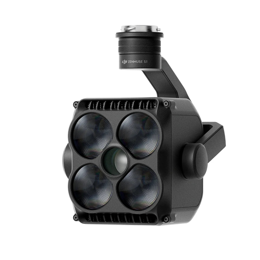
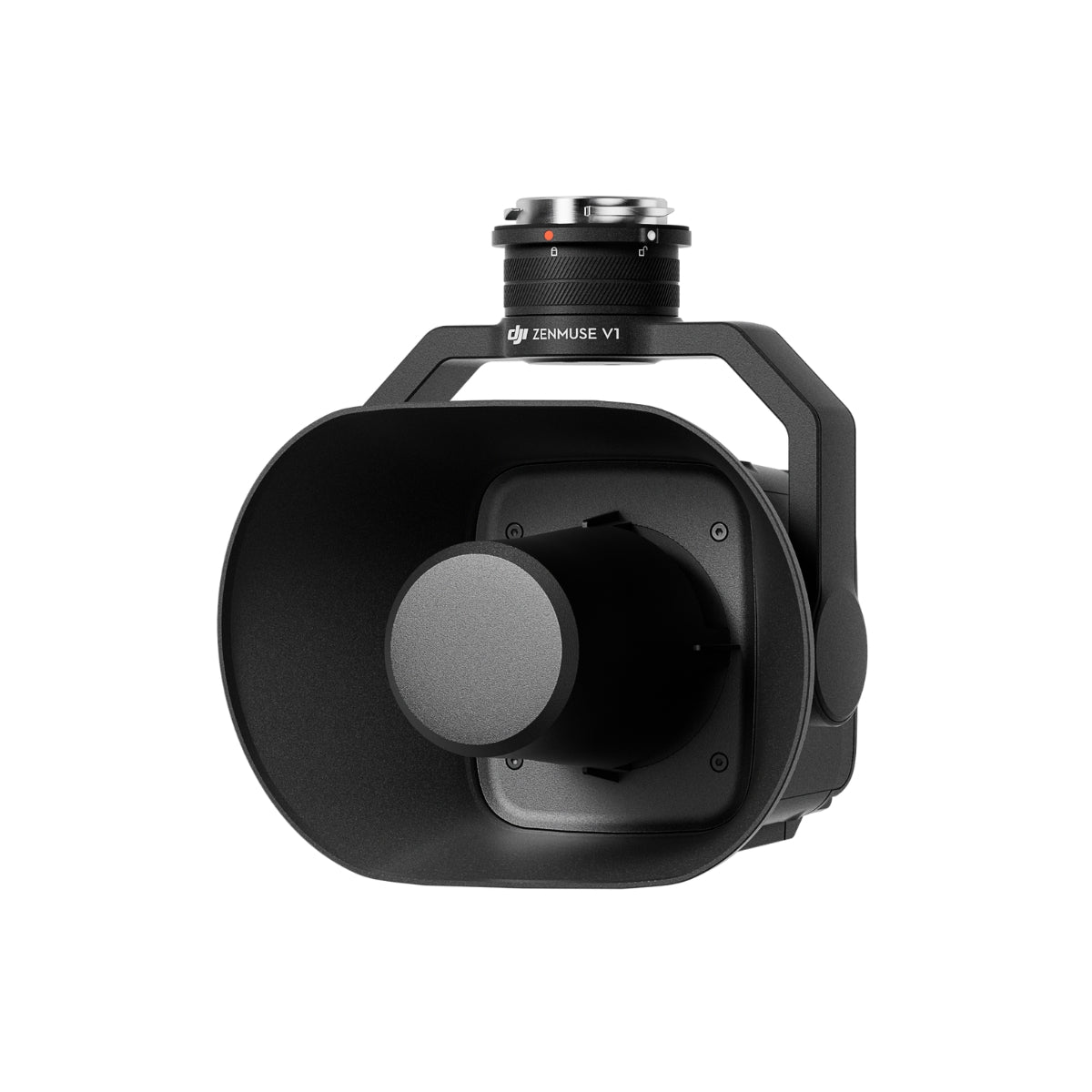
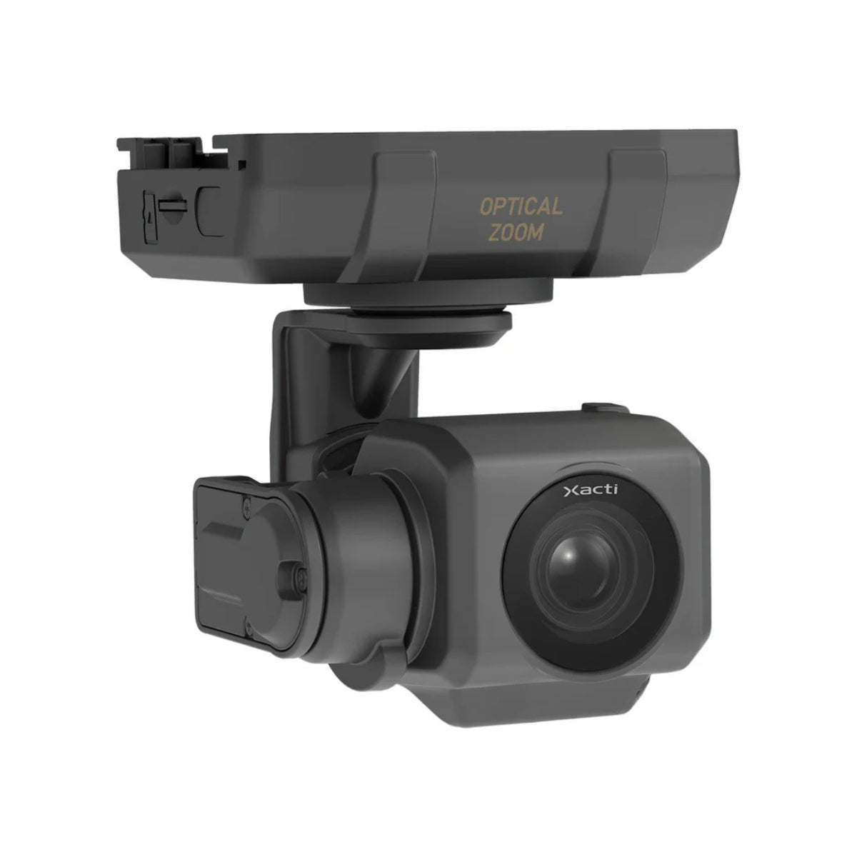
Roof inspection drones utilize specialized payloads like high-resolution zoom and wide-angle cameras and thermal sensors to detect issues from a safe distance.


10 Ways Drones Benefit Roof Inspection
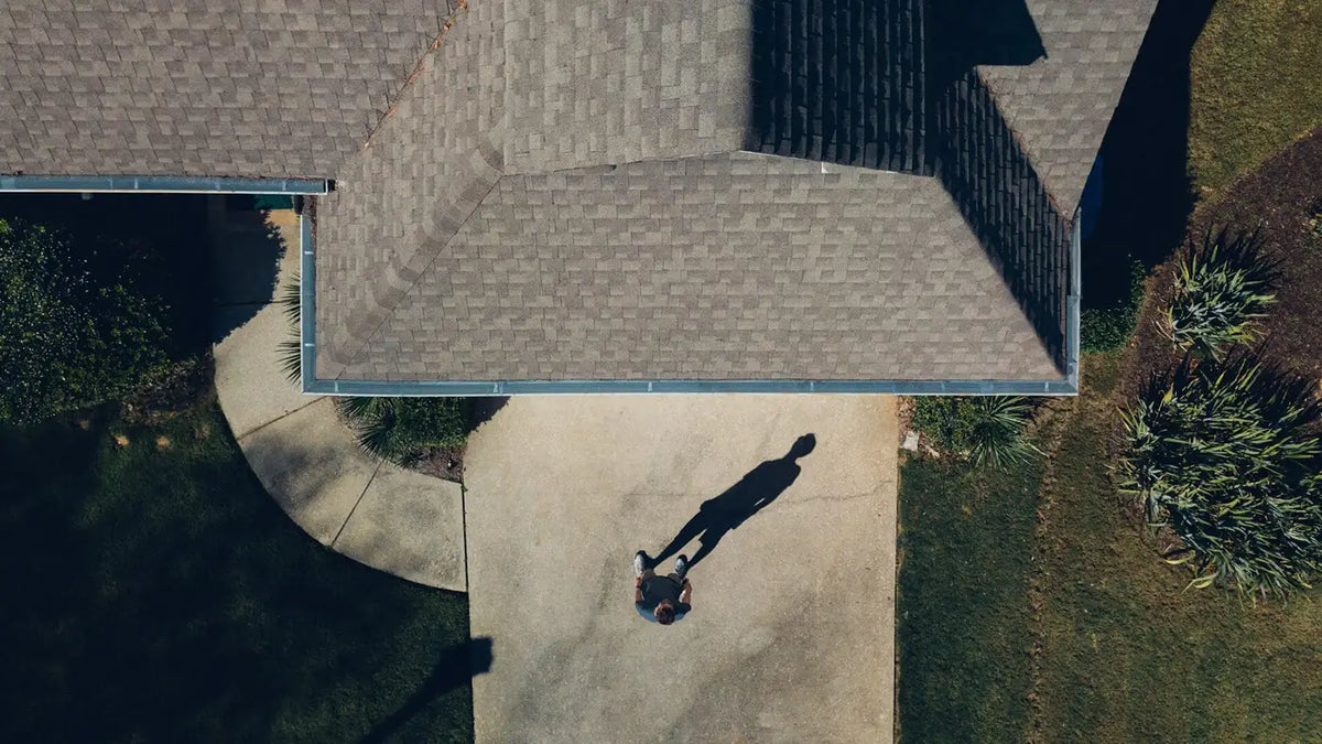
Roof inspections have evolved with drones, offering safer, faster, and more detailed assessments. Whether it's storm damage, hail checks, or managing multiple properties, drones simplify documentation, detection, and decision-making.

Safety First!

Using drones for roof inspections eliminates the need to physically climb onto a roof, reducing the risk of falls and accidents. Get all the detailed imagery you need using a powerful camera payload without breaking a sweat – or a leg!

Cost-Effective

Let's face it, time is money! With drones, you can save big on labor costs associated with manual roof inspections. Not only are drones faster – covering large areas in a fraction of the time, but they can also complete the inspection with fewer resources.

Accessibility

Drones make accessing hard-to-reach or dangerous roof areas easy—whether it’s chimneys, eaves, dormers, or unique features like crow’s nests—allowing inspectors to stay safe on the ground while capturing detailed visuals.

High-Quality Imaging

Drones with high-resolution cameras provide detailed images to spot roof damage like cracks, worn shingles, water stains, and mold. They can zoom in on vulnerable areas like seams, flashing, and transitions to detect leaks.

Thermal Imaging

Thermal imaging-equipped drones can detect heat loss, identify water damage, and reveal trapped moisture or hidden storm damage. Cooler areas may indicate leaks, while temperature differences signal poor insulation or roofing gaps.

Digital Documentation

Drones create detailed digital records of roof inspections, tracking gradual changes like moss growth or cracks. These records are easily shared with stakeholders, helping with maintenance, insurance, or property sales.

Preventative Maintenance

Drones help identify early roof damage, like tiny cracks or debris, allowing for preventative maintenance. Addressing small issues early can save costly repairs or even avoid a full roof replacement.

Improved Accuracy

Drones offer precise roof assessments, calculating exact dimensions and generating 3D models. They identify minor issues like hairline cracks or slight warping, ensuring a thorough analysis of the roof’s structure.

Post-Storm Assessments

Drones accelerate storm damage assessments, providing high-resolution images and thermal data right after storms. They quickly identify issues like wind damage, broken tiles, or water pooling, supporting faster insurance claims and repairs.

Routine Maintenance Scheduling

Routine roof inspections—spotting subtle deterioration like faded shingles or moisture intrusion early—are made possible by drones. Consistent data over time helps identify trends, ensuring timely maintenance, smarter budgeting, and long-term preservation.