🇺🇸 +1 877-299-1075 | Mon-Fri 7am-5pm PST
DSLRPros | Enterprise Drone Sales & Comprehensive Services

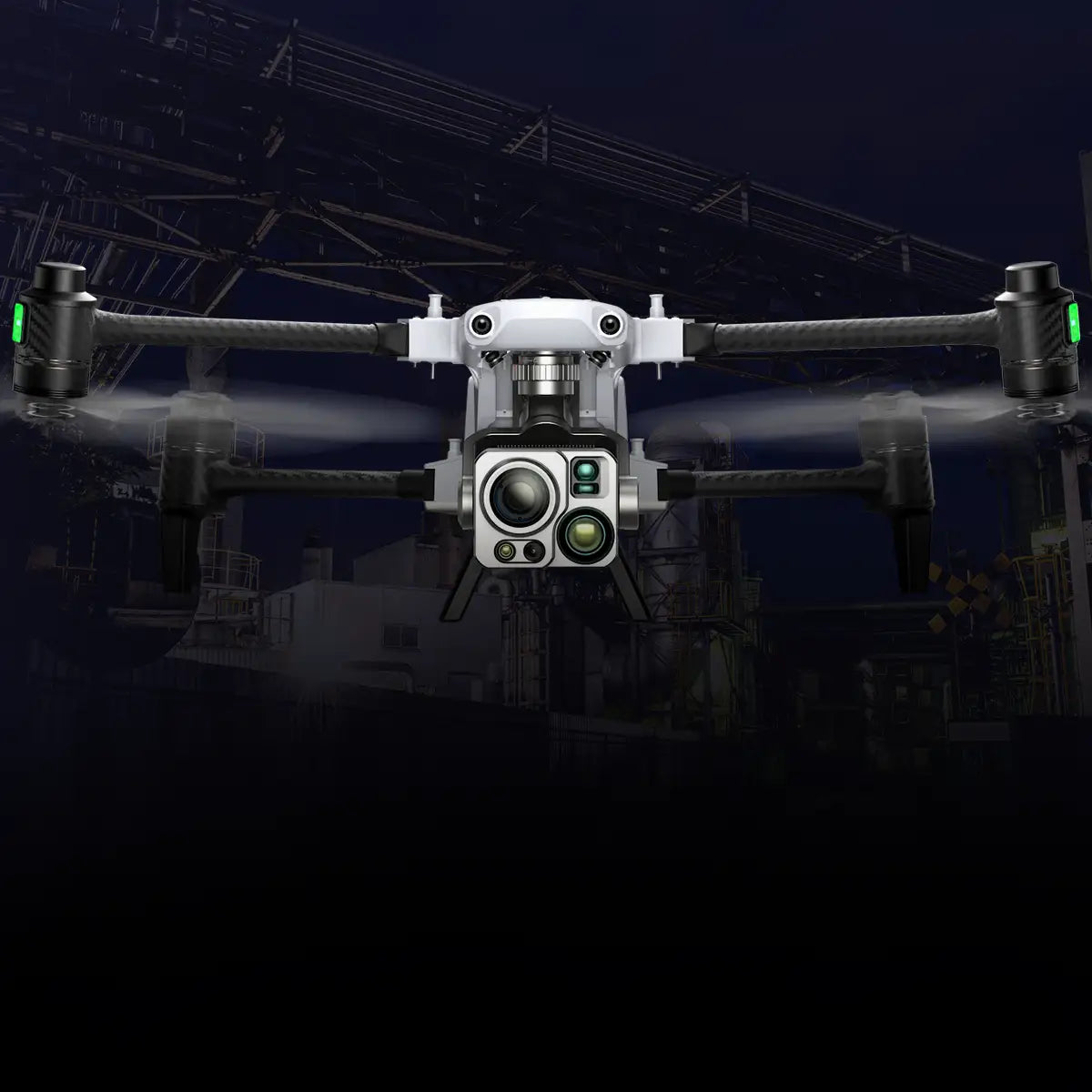
Eagle-Eyed, Swift Industrial Supervision

Best Industrial Inspection Drones and Bundles

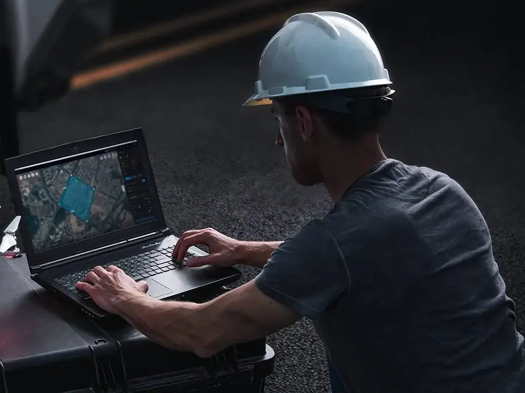
Industrial inspection drones and bundles are built to handle complex tasks like thermal imaging, 3D mapping, structural analysis, and real-time reporting in environments such as construction sites, energy plants, and large infrastructure facilities.
DSLRPros Matrice 400 + Zenmuse L3 Mapping Bundle

Complete mapping bundle: aircraft, LiDAR payload, and power accessories included

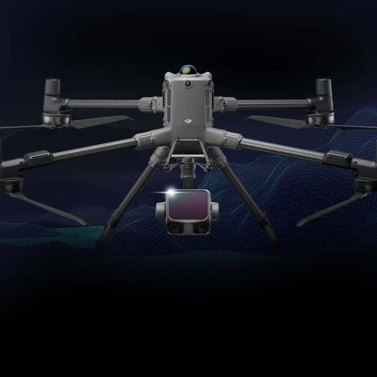
Zenmuse L3 LiDAR: 950 m @ 10% (100 kHz), 2–4 cm accuracy, 16 returns

Dual 100 MP cameras: produce orthophotos and colorized 3D models

Matrice 400 RTK: reliable flight platform with centimeter-level precision

Adjustable scan rates: 100 kHz – 2 MHz for terrain or density optimization

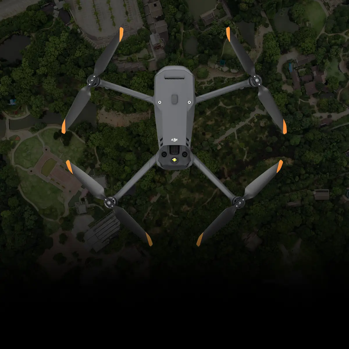
DSLRPros Matrice 4E Professional Mapping Package

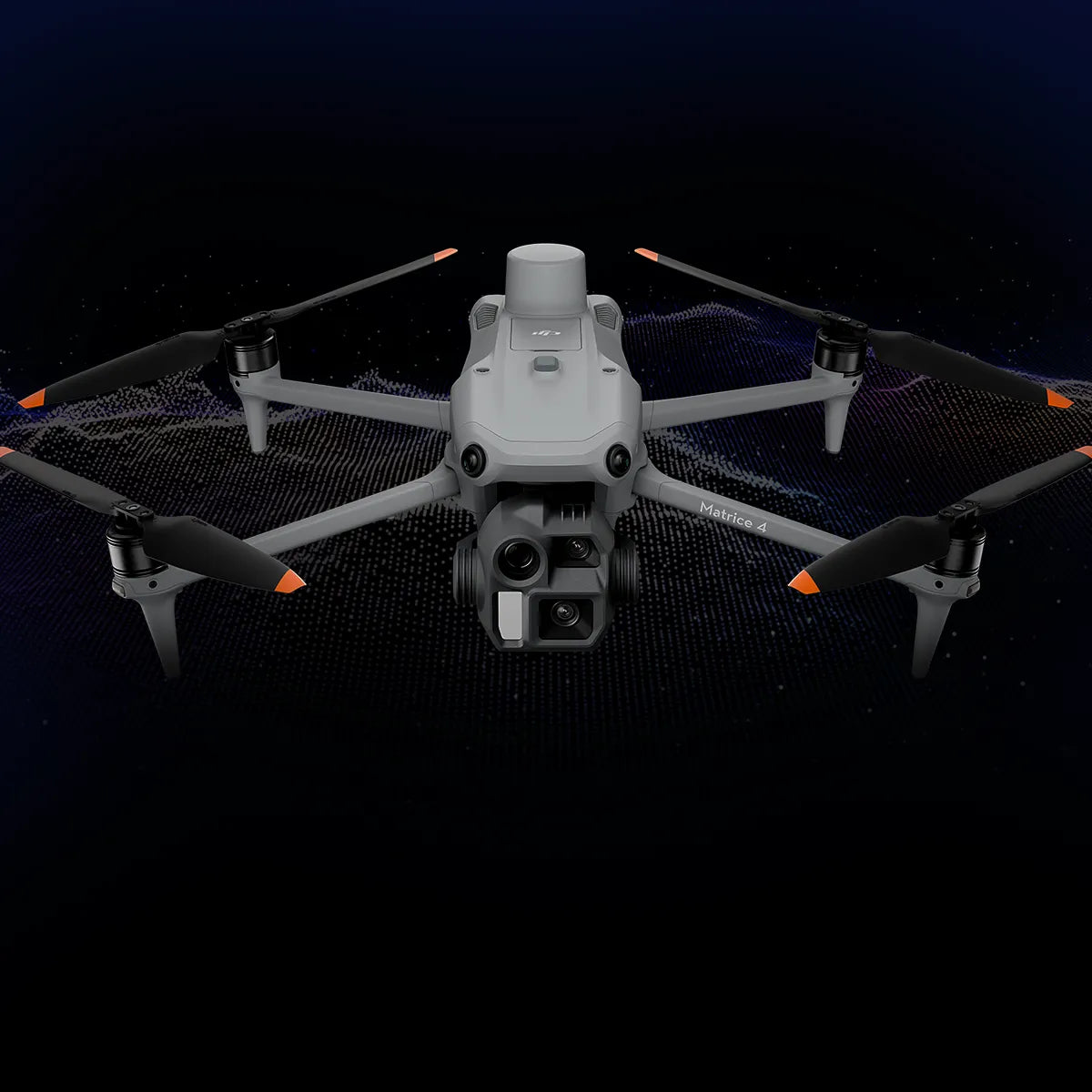
Matrice 4E 48 MP wide camera provides detailed imagery for mapping tasks

1/1.3-inch CMOS sensor improves clarity and consistency across survey missions

Tele camera enhances feature identification for supplemental inspection detail

Laser rangefinder delivers accurate readings up to 1,800 meters distance

RTK-enabled flight ensures centimeter-level accuracy for professional surveys

DSLRPros Freefly Astro Max Mapping Bundle

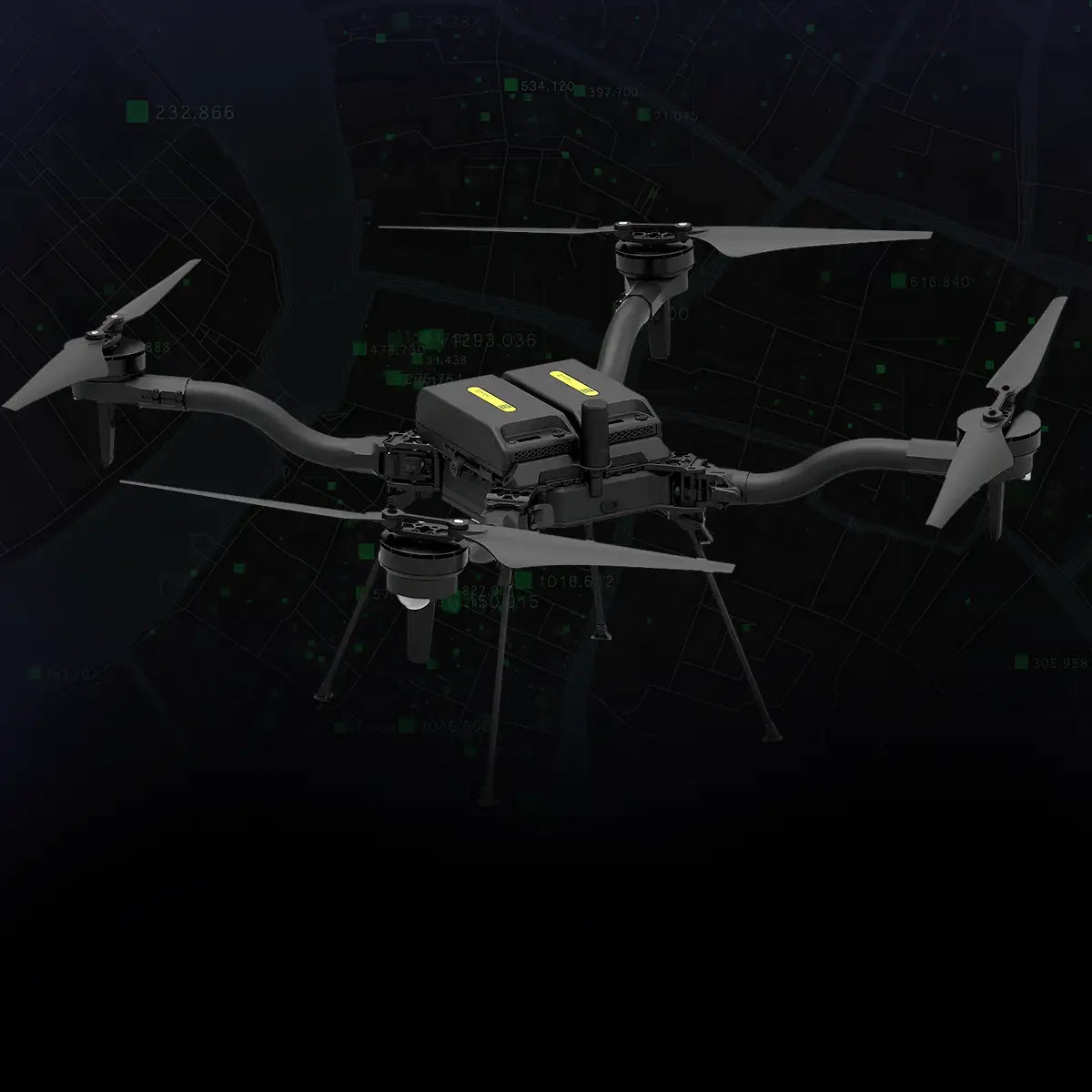
Complete Freefly mapping bundle with aircraft, camera, and controller

Aircraft not NDAA approved; NDAA/Blue version available separately

Includes 61 MP Sony ILX-LR1 and Sigma 24 mm f/3.5 lens

Pilot Pro Controller with pre-installed Galaxy Active5 tablet

Six SL8-Air batteries and four SL8 Fast Chargers included

DSLRPros Autel Alpha with L35T Gimbal Utility Inspection Package

Autel Alpha drone with L35T gimbal integrating zoom, wide, thermal, and laser sensors

35× optical and 560× hybrid zoom for close inspection from a safe distance

Dual thermal sensors to detect overheating components or hidden faults

Laser rangefinder up to 2 km for verifying measurements and clearances

Three hot-swappable batteries to maximize flight endurance in the field

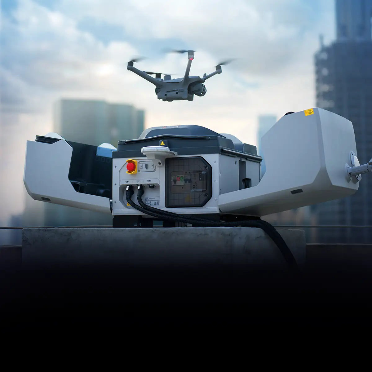
DSLRPros Dock 3 Ready To Fly Bundle

DJI Dock 3 for all-weather automated drone operations and vehicle-mounted deployment

DJI Matrice 4TD drone for advanced thermal and visual imaging

FlytBase Zero subscription for cloud-based mission control

DJI RC Pllus 2 Enterprise Controller for reliable and precise drone command

Pre-configured bundle ready for immediate deployment

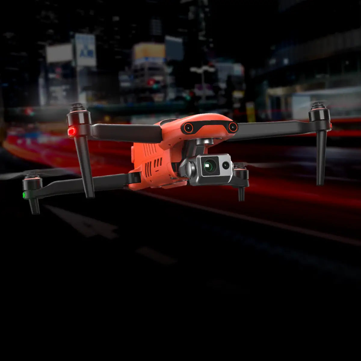
DSLRPros Autel EVO II 640T V3 Enterprise Urban Scout Package

High-resolution thermal and optical cameras

Radiometric thermal imaging

Includes modular accessories

Improved flight-time and video transmission

Interchangeable gimbals

Absolutely no geo-fencing

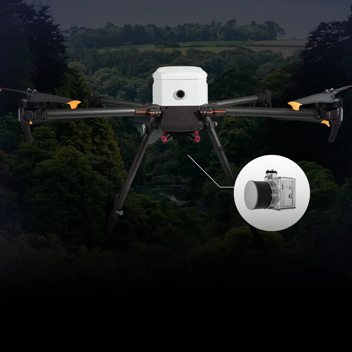
DSLRPros Ultimate LiDAR Combo (Land/Air)

Inspired Flight IF800 Drone: 54-minute flight time, 1.5 kg payload, foldable design.

LiAir X3CH LiDAR: Up to 300m detection, 26MP camera, high point rates.

LiDAR360 Software: Advanced data processing and visualization tools.

Handheld Attachment: Ground-based LiDAR scanning versatility.

Use Cases: Topographic surveys, forestry management, urban planning, archaeology.

DSLRPros DJI Mavic 3 Enterprise Professional Mapping Package

Compact and portable, weighing only 915 g

4/3 CMOS 20-MP wide cam with mechanical shutter

56x hybrid zoom

45-minute maximum flight time

DJI O3 Enterprise image transmission

Omnidirectional obstacle avoidance

Includes DJI Care Enterprise Basic 2-Year

Customizable package

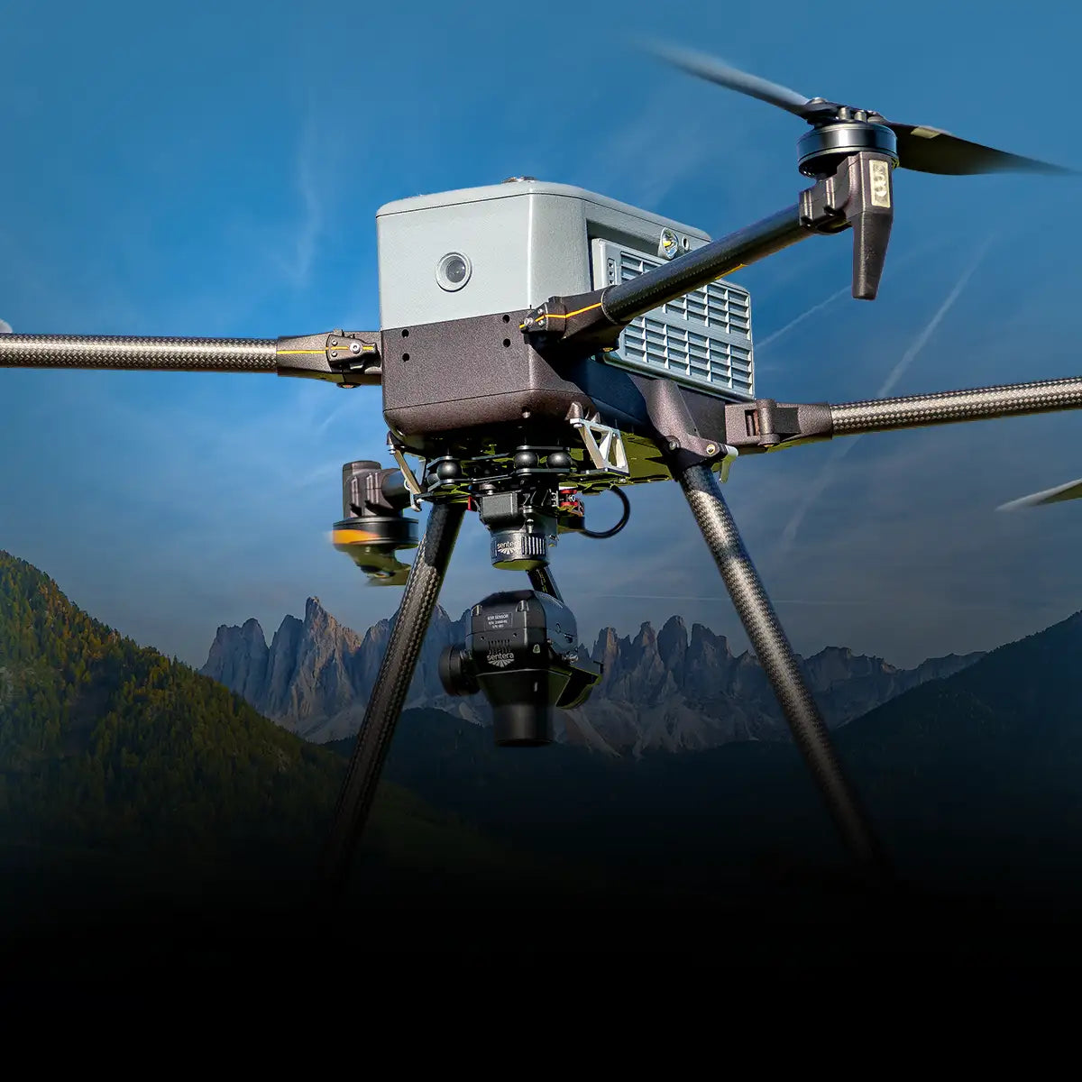
DSLRPros Inspired Flight IF800 Sentera 65R Mapping Combo

IF800 Quadcopter with Blue Herelink Ground Control Station

Sentera 65R payload with 0.45cm/pixel resolution

Dual hot-swappable batteries, 54-minute flight time

Optional: Battery Kit, Battery Set, Spare Propeller Set, Spare Part Kit

Optional: AeroPoints 5-Pack, Firmware Upgrade, Pix4Dmapper License

Free lifetime customer care & technical support

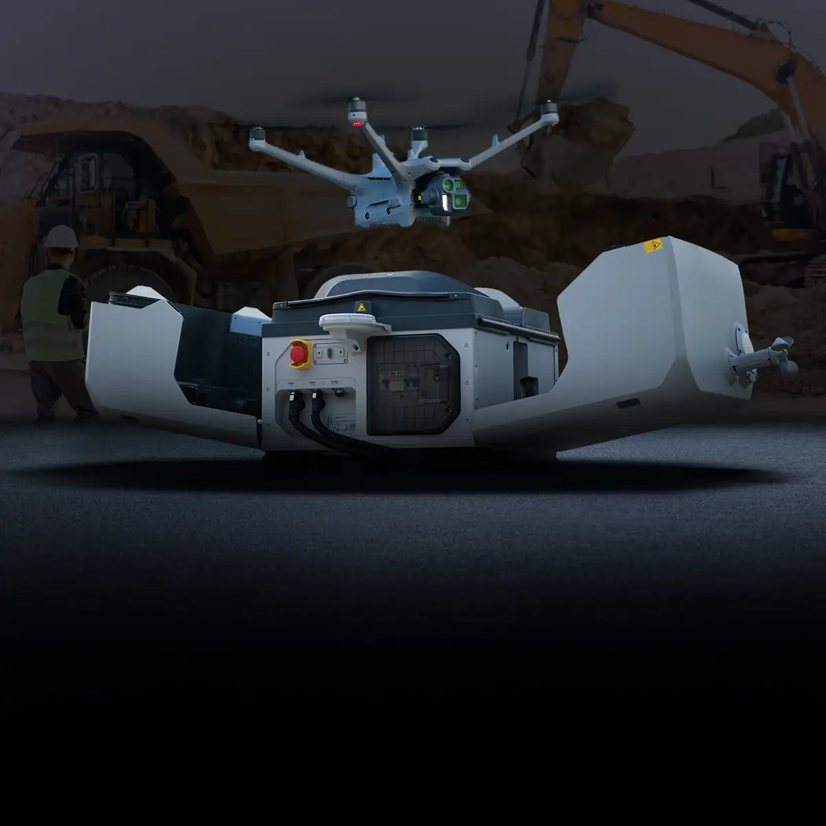
DSLRPros Dock 3 Ultimate Mining Bundle

DJI Dock 3: Compact, IP56 weather-resistant, and supports autonomous drone operations.

DJI Matrice 4D: Triple-camera system, Night Scene mode, and advanced obstacle avoidance.

47-Minute Flight Time: Long-duration flights for extensive monitoring and inspection.

Vehicle-Mounted Deployment: Do in-transit drone charging and data transfer, perfect for long-distance tasks.

STRAYOS & Flytbase Software: Advanced stockpile measurement and flight automation tools.

Industrial Inspection Payloads

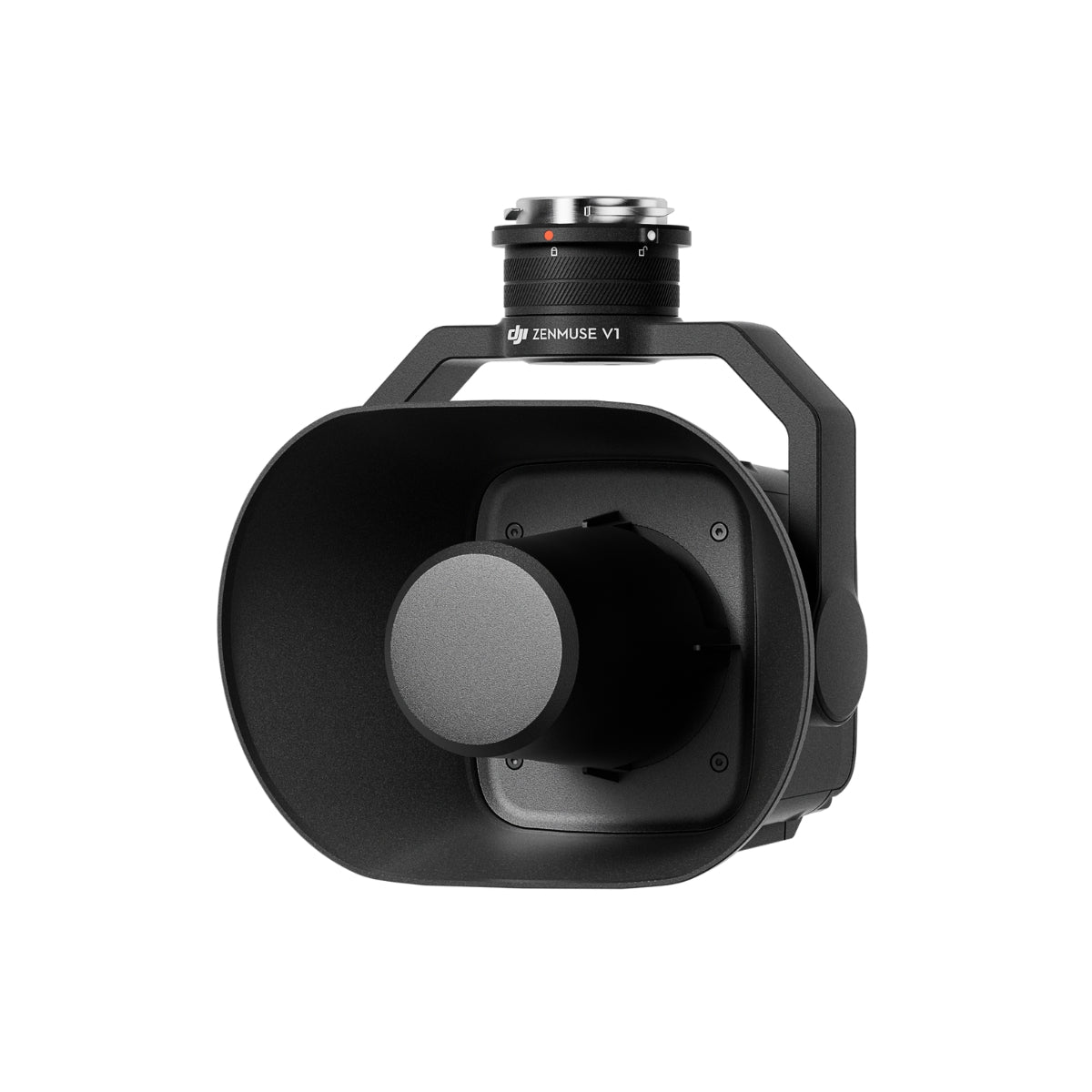
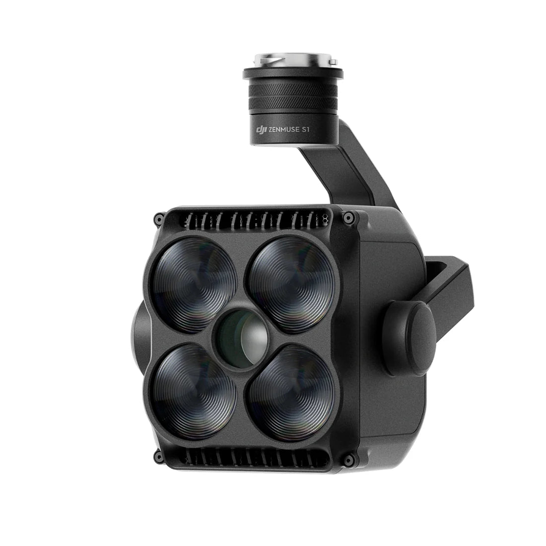
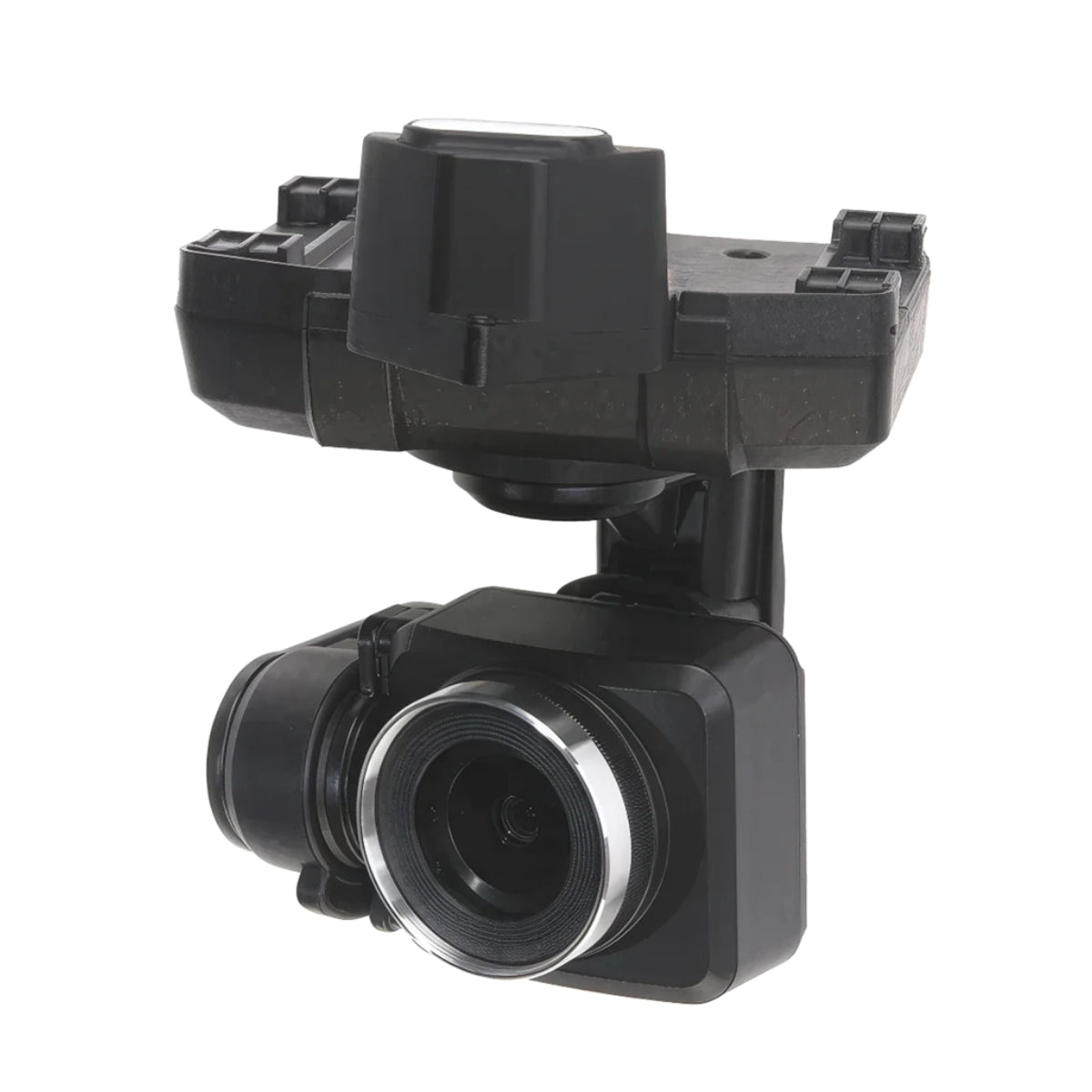
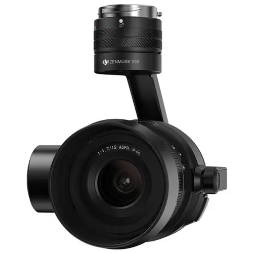
For industrial inspections, top payloads include the Autel L35T Gimbal Camera and ACSL SOTEN for thermal imaging, DJI Zenmuse V1 Speaker for audio, and Zenmuse S1 Spotlight for low-light clarity.


10 Ways Drones Benefit Industrial Inspection

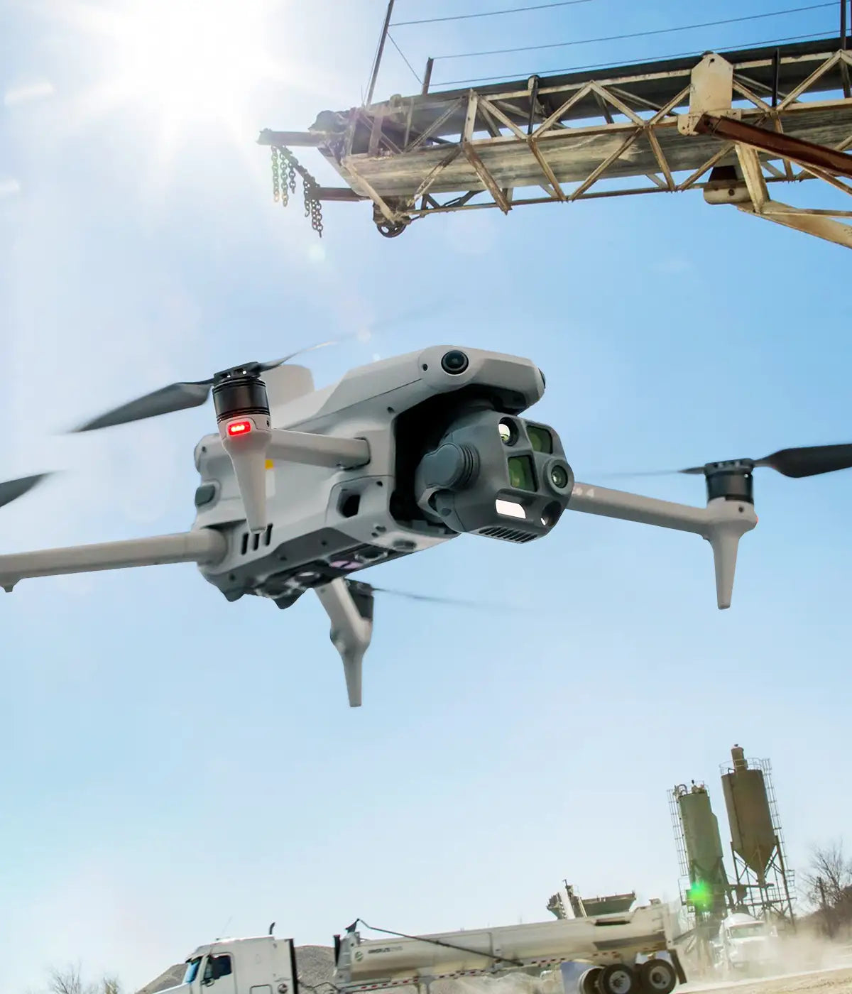
Industries like oil and gas, power generation, and manufacturing benefit from drone-based inspections. Drones provide safer, faster, and cost-effective alternatives for inspecting high-risk, hard-to-reach areas like smokestacks and pipelines.

No Hard Hats Needed – Drones Make Inspections Safer

The safety of inspection personnel is paramount, and industrial drone inspection addresses this concern. The drones can access hard-to-reach and hazardous areas, eliminating the risk of accidents and injuries.

Cut Costs, Not Corners

Using drones can lead to substantial cost savings. Inspections are done more quickly and with fewer personnel than traditional methods, leading to fewer resources being spent on your operations.

Efficiency – Beat the Clock

Drones can cover large areas in a short amount of time, which is significantly more efficient than human inspectors who may need days or even weeks to inspect the same area.

Accuracy – Get the Full Picture

Our drones are equipped with high-resolution cameras and sensors to capture detailed images and data. This ensures accurate and thorough inspections that can identify even minor issues that might be missed by the naked eye.

Data Analysis

Drones that come with advanced thermal imaging, infrared, and LiDAR sensors give you tools for in-depth data analysis. These technologies can uncover problems that go unnoticed in regular visual inspections.

Real-time Monitoring for Instant Insights

The ability to transmit data and images in real-time is invaluable. Drones for industrial inspections can provide immediate insights, allowing for quick assessment and decision-making.

Reduced Downtime

Faster inspections mean less downtime for equipment and facilities, minimizing disruption to operations and production schedules – which translates to even more savings and higher productivity.

Predictive Maintenance Keeps You One Step Ahead

Using UAV industrial inspection drones, you can identify potential problems before they escalate. That way you can carry out proactive maintenance, reduce the risk of costly breakdowns, and extend the lifespan of equipment.

Digital Records

Drone inspections generate digital records that can be easily stored, shared, and analyzed for trends. This information is crucial for future maintenance plans and managing assets.

Green Inspections

Drones for industrial inspections can access remote, environmentally sensitive areas without disturbing ecosystems, ensuring minimal impact while helping maintain compliance with environmental regulations and enhancing operational efficiency.