


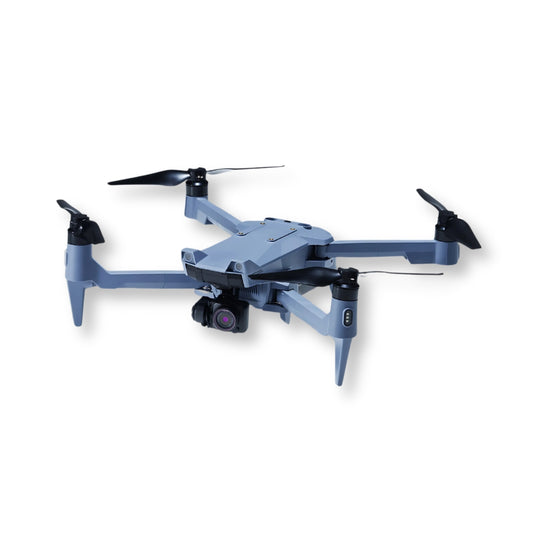


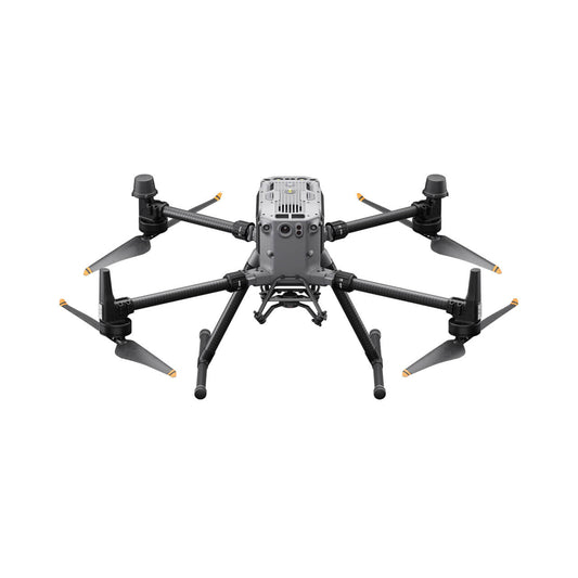


Shop Drones for Sale Designed for Professional Results
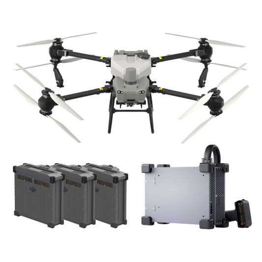
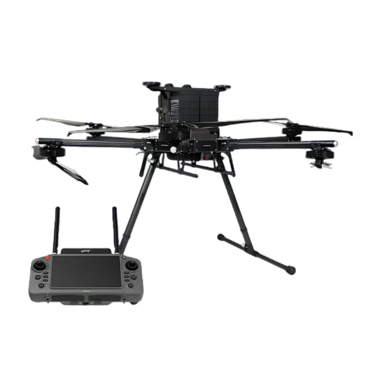
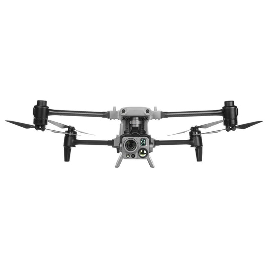
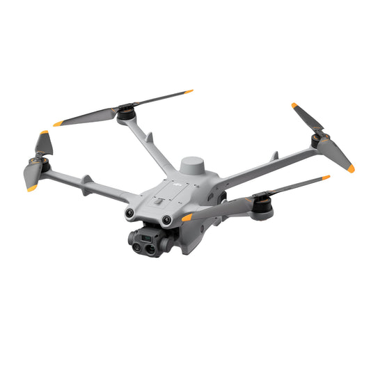
When you shop drones for sale in this collection, you’re looking at professional platforms built for precision, durability, and mission flexibility. From enterprise quadcopters to industrial-grade multirotors, these systems are engineered to deliver the aerial intelligence that drives real-world decisions.
Whether you need commercial drones for sale to conduct inspections, monitor agricultural health, assist in public safety, or create detailed maps, these aircraft combine advanced imaging, secure transmission, and extended flight performance. Each model is selected for its proven reliability in the field, ensuring you can operate with confidence from day one.
Drone Categories Available in This Collection
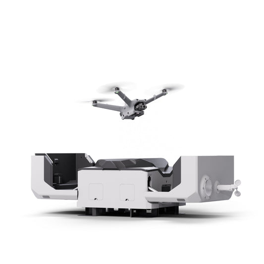
From compact, quick-deploy platforms to heavy-lift enterprise aircraft, this collection covers the full range of professional drones for sale. Each category is built for specific operational needs, helping you choose the right tool for your mission.
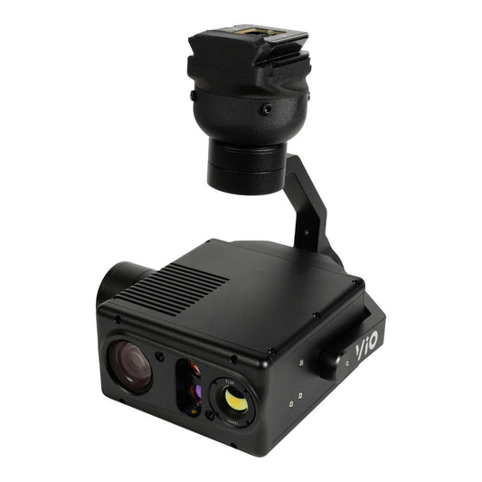
- Enterprise Drones: Rugged, high-performance platforms designed for inspections, mapping, and public safety missions.
- Thermal Drones: Equipped with radiometric sensors for night operations, search and rescue, and heat anomaly detection.
- Mapping & Survey Drones: High-resolution RGB or LiDAR-equipped systems for accurate 2D/3D data capture.
-
Agricultural Drones: Multispectral platforms for crop health monitoring, spraying, and precision agriculture.
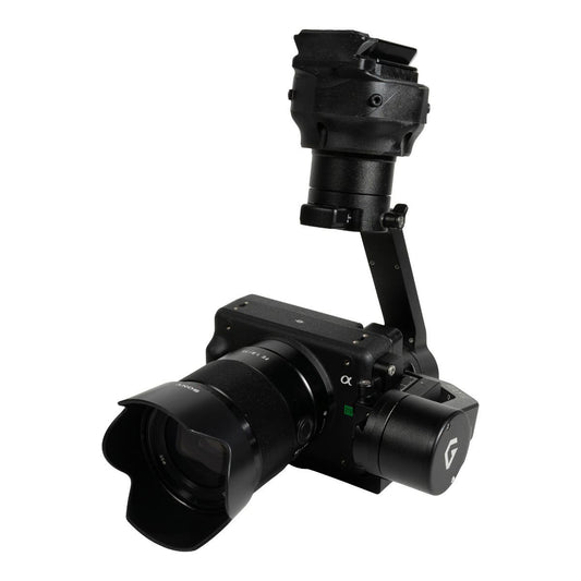
Media & Production Drones: Stabilized, high-resolution aerial cameras for professional cinematography and live broadcast.
Features & Benefits of Our Professional Drones with Camera
These commercial drones are engineered to deliver the imaging quality, flight endurance, and operational flexibility professionals need in the field. Each feature is designed to maximize efficiency and ensure reliable performance in demanding environments.
- High-Resolution Imaging: Capture detailed stills and video for inspections, mapping, and content creation.
- Thermal and Multispectral Capabilities: Operate effectively in low light or analyze vegetation health with specialized sensors.
- Extended Flight Endurance: Cover larger areas and complete longer missions without frequent battery swaps.
- Interchangeable Payload Support: Adapt your drone to different tasks without investing in multiple aircraft.
- Secure Data Transmission: Ensure mission-critical information is transmitted privately and without interference.
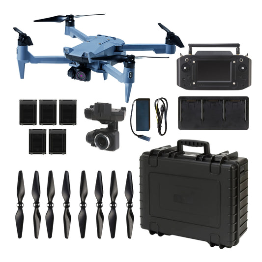
Comparison of Popular Commercial Drones
Choosing the right drone means balancing camera capabilities, flight time, and mission requirements. This side-by-side comparison highlights some of the most popular commercial drones for sale, helping you quickly identify the best fit for your operational needs.
| Model | Camera Type | Max Flight Time | Best Use Case | Key Features |
|---|---|---|---|---|
| DJI Matrice 350 RTK | Zoom + Thermal + Mapping payload options | Up to 55 min | Public safety, inspections, mapping | IP55 weather rating, O3 Enterprise transmission |
| DJI Mavic 3 Thermal | RGB + Thermal | Up to 45 min | SAR, inspections, utility checks | Compact foldable design, 56× hybrid zoom |
| DJI Matrice 30T | Wide, Zoom, Thermal | Up to 41 min | Mobile inspection teams, SAR | Built-in laser rangefinder, all-weather use |
| Autel EVO II Dual 640T | RGB + Thermal | Up to 38 min | Industrial inspections, security | 640×512 thermal, 8K video capture |
Industry-Proven Applications for Commercial Drones for Sale
Commercial drones excel in industries where accurate data, fast deployment, and safe operations are essential. These platforms adapt to diverse mission types, delivering reliable performance whether you’re inspecting infrastructure, responding to emergencies, or managing large-scale projects.
Infrastructure Inspection
Inspect bridges, telecommunications towers, wind turbines, pipelines, and high-voltage powerlines without the need for scaffolding, rope access, or costly shutdowns. Zoom drones capture fine structural details from a safe distance, while thermal cameras identify hidden faults and early-stage damage.
Public Safety & Search and Rescue
Deploy drones with thermal imaging and long-range zoom to locate missing persons, detect heat signatures in low-visibility environments, and monitor large-scale emergencies in real time. Public safety teams benefit from rapid aerial assessments without risking ground personnel.
Utility & Energy Sector
Examine substations, solar farms, wind installations, and offshore oil platforms with high-resolution RGB or radiometric thermal drones. Early detection of equipment wear, corrosion, or overheating can prevent outages and reduce maintenance costs.
Agriculture & Land Management
Use multispectral and RGB drones to track crop health, identify irrigation inefficiencies, and perform precision spraying. Agricultural drones for sale in this collection help farmers optimize yields, reduce chemical use, and monitor fields across large areas in minutes.
Construction & Surveying
Generate accurate 2D orthomosaics and 3D models for project planning, progress tracking, and verification. Mapping drones and LiDAR-equipped UAVs speed up surveying, reduce labor costs, and eliminate the need for manual site measurements.
Environmental Monitoring & Conservation
Document wildlife populations, track habitat changes, and conduct environmental surveys without disturbing natural ecosystems. Low-noise, low-impact drones with zoom or multispectral payloads help conservationists gather critical data efficiently.
Disaster Response & Recovery
Quickly map flood zones, wildfire perimeters, landslide areas, or earthquake damage to prioritize emergency response. Drones equipped with thermal and RGB cameras provide situational awareness when ground access is unsafe or impossible.
Mining & Quarrying
Survey open-pit mines, measure stockpile volumes, and monitor slope stability using LiDAR and photogrammetry drones. UAV data collection improves accuracy, safety, and operational efficiency in hazardous environments.
Oil & Gas Industry
Inspect flare stacks, offshore rigs, and long-distance pipelines without halting production. Zoom and thermal drones detect leaks, hotspots, and structural defects while keeping workers out of dangerous areas.
Law Enforcement & Border Security
Conduct aerial surveillance, track moving targets, and monitor border areas with secure, long-range drones. Low-light and infrared imaging improves visibility for nighttime operations and covert monitoring.
Maritime Operations
Support search and rescue at sea, inspect vessels for damage, and oversee offshore installations. Drones with high wind resistance and weatherproofing maintain performance in harsh marine conditions.
Forestry & Land Surveying
Map tree canopies, detect signs of disease or pest infestation, and monitor logging activity. Multispectral and LiDAR drones deliver precise measurements for forest management and land-use planning.
Event & Media Production
Capture cinematic aerial shots, live-stream events, and create high-resolution promotional content. Professional drones with stabilized gimbals ensure smooth, broadcast-quality footage.
Archaeology & Cultural Preservation
Survey excavation sites, create photorealistic 3D models, and document heritage landmarks. Drones reduce the need for invasive ground methods while preserving site integrity.
Why Choose DSLRPros for Commercial Drones
We’ve supplied professional drones with camera systems to enterprise, government, and commercial operators for over a decade. Every unit is tested before shipping to ensure operational readiness. Our team offers expert guidance on selecting the right model, plus training, software integration, and ongoing technical support so you can fly with confidence.

