


Revolutionize Your Aerial Surveys with DJI Mavic 3 Multispectral
The DJI Mavic 3 Multispectral is built for professionals who rely on fast, precise aerial data. Whether you're mapping orchards, assessing environmental impact, or managing natural resources, this drone gives you the tools to get it done with accuracy and efficiency
This package includes a DJI Care Enterprise plan, offering unmatched protection for your drone. Enjoy low-cost replacements, express service options, water damage coverage, and free maintenance (regional exclusions apply).

DJI Mavic 3 Multispectral Features & Specs
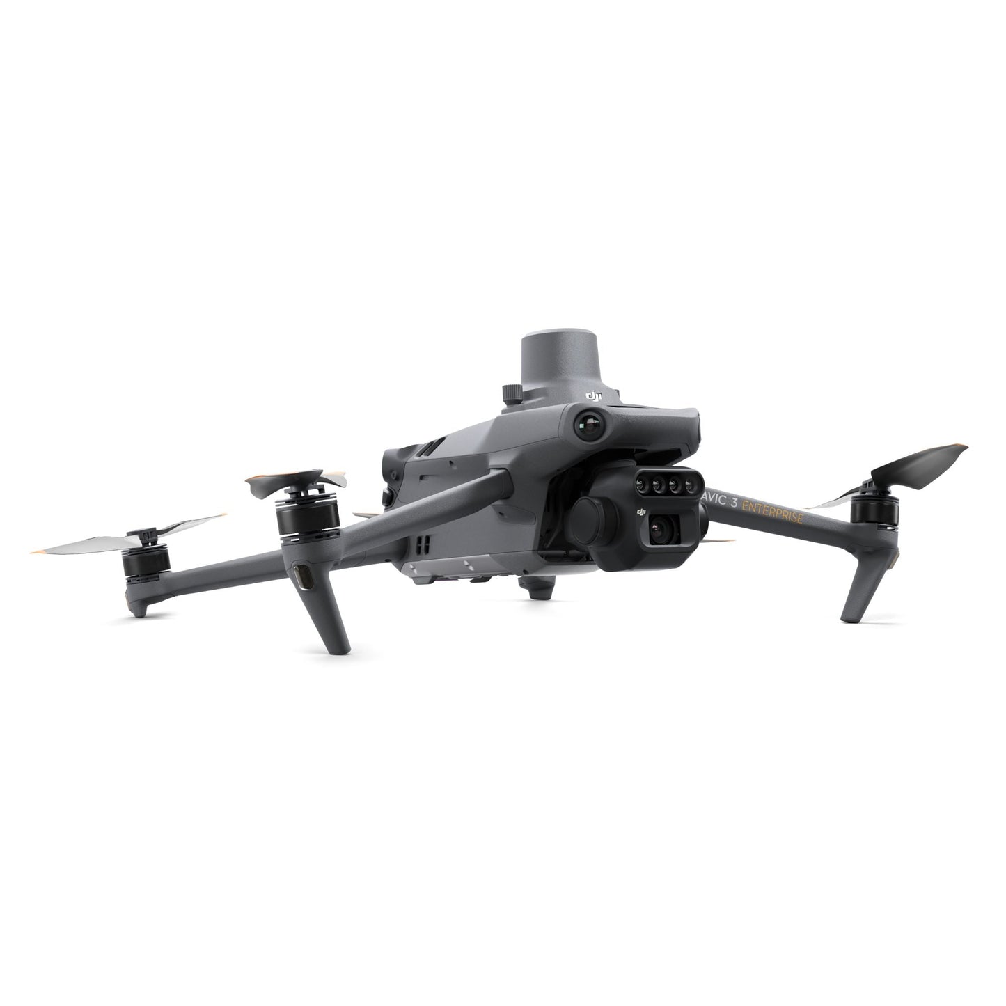
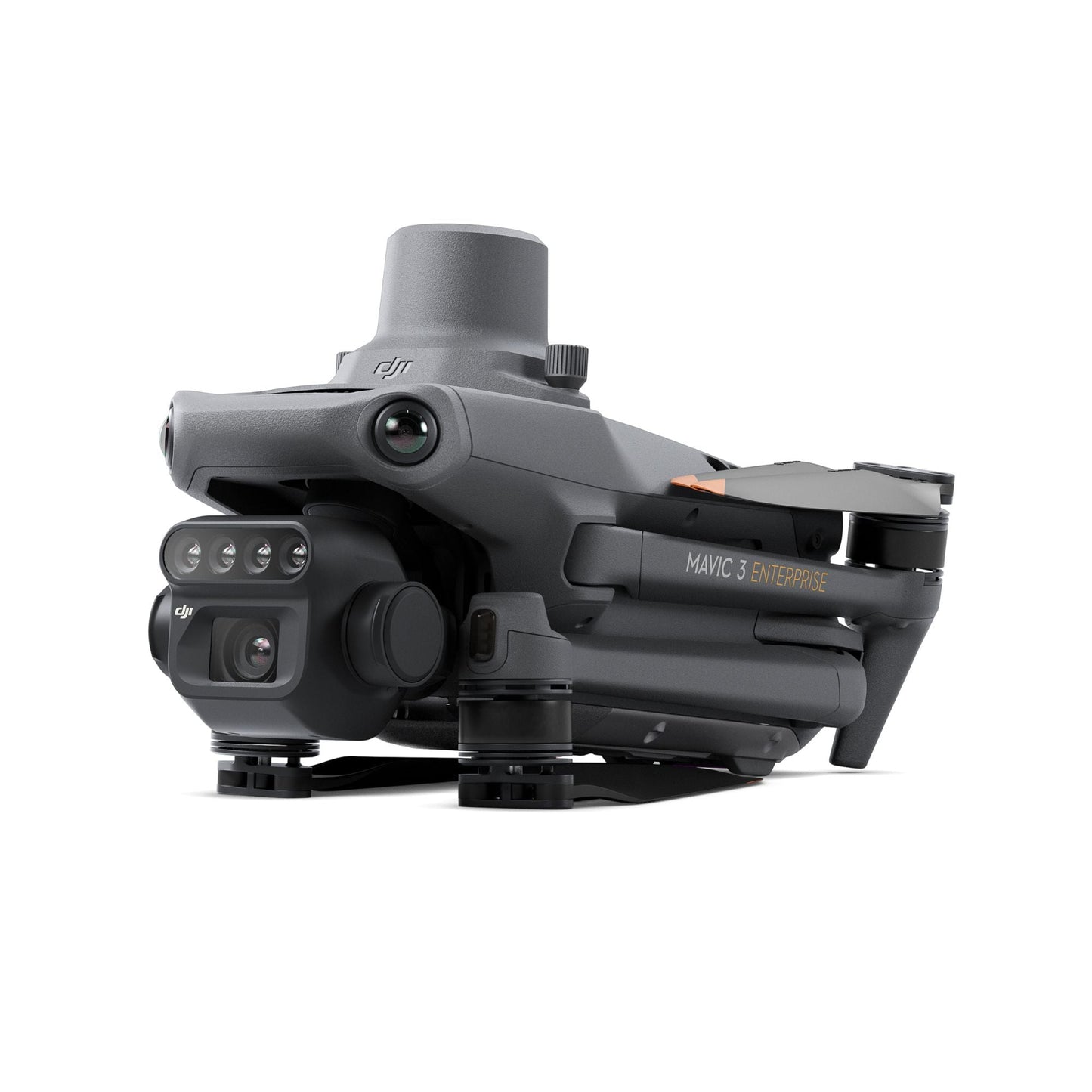
See Beyond the Surface with RGB + Multispectral Camera System
Equipped with a 20MP 4/3 CMOS RGB camera and four 5MP multispectral cameras, the Mavic 3 Multispectral captures stunning visuals and crucial vegetation data. Its ability to process green, red, red edge, and near-infrared spectrums makes it a game-changer for precision agriculture and ecological monitoring.
Every detail is crystal-clear, making it easier than ever to analyze crops, manage resources, and monitor changes in the environment.
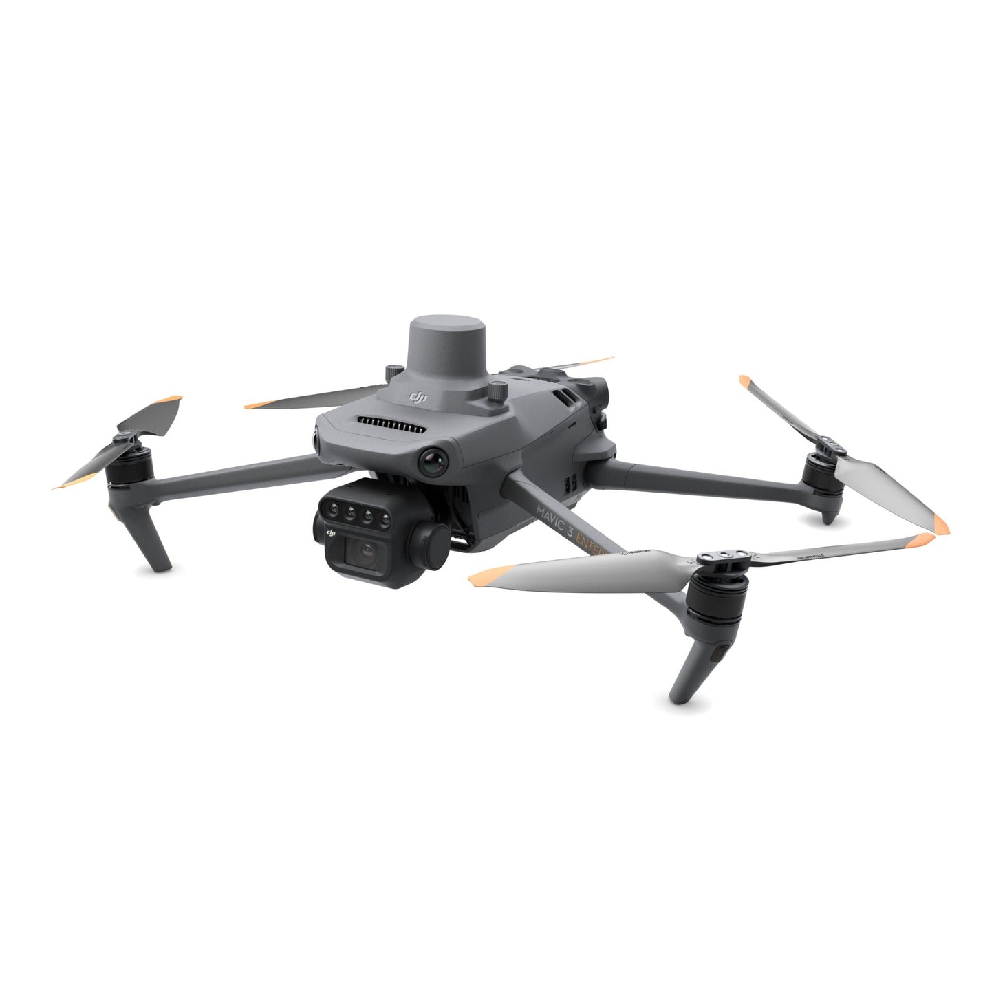
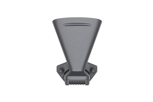
Integrated Sunlight Sensor for Accurate Data
A built-in sunlight sensor measures solar irradiance and stores it directly in image files. This feature ensures data consistency over time, delivering optimized NDVI results for smarter decision-making.
With adaptive lighting adjustments, you can rely on this drone to deliver precise analytics under any lighting conditions.
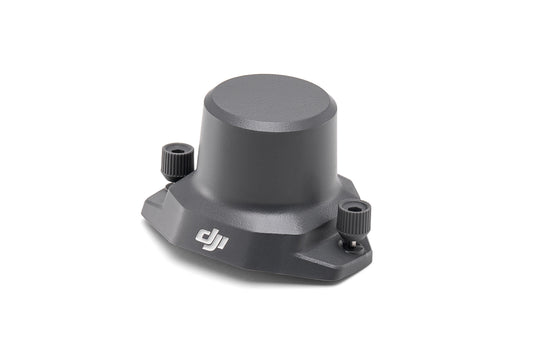
Pinpoint Accuracy with RTK Integration
The Mavic 3 Multispectral includes an RTK module for centimeter-level positioning. The RTK module syncs with the flight controller and cameras, allowing accurate mapping without ground control points. Save hours in the field and reduce post-processing time.
Whether you're mapping resources or conducting agricultural surveys, this system guarantees unmatched accuracy.
Fly Longer, Cover More
Engineered for efficiency, this drone offers up to 43 minutes of flight time per charge. It can cover up to 200 hectares in one flight, making it an essential tool for large-scale surveys.
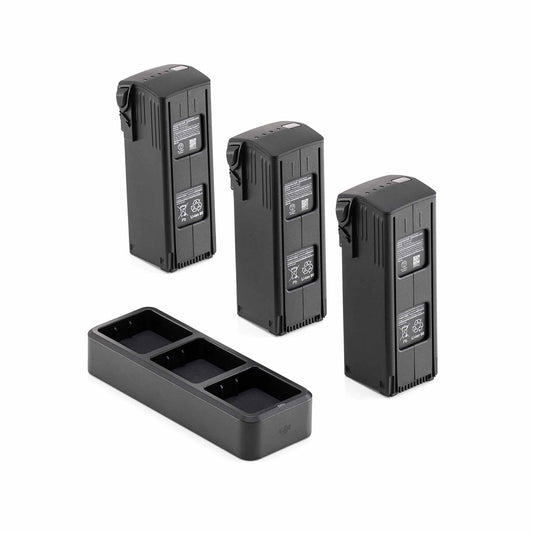
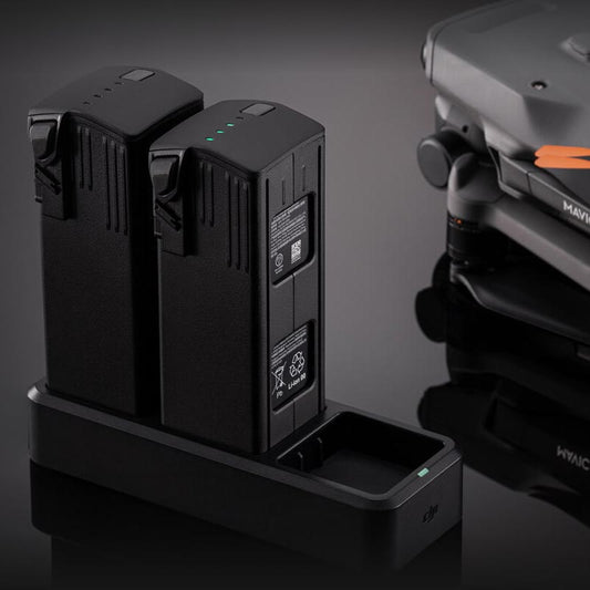
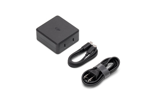
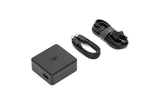
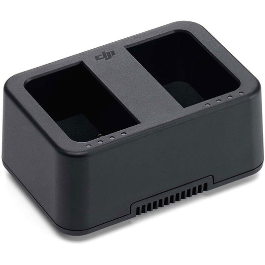
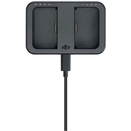
Fast charging with a 100W Battery Charging Hub or an 88W direct charger ensures minimal downtime, keeping you productive throughout the day.
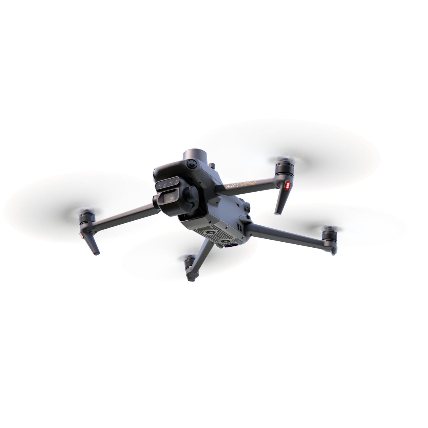
Go Further with Stable O3 Transmission + Obstacle Avoidance
The O3 transmission system delivers stable, interference-free signals with a range of up to 15 km. Advanced obstacle sensing and terrain-follow technology ensure safe operations, even in complex environments.
From long-range scouting to close-up monitoring, the Mavic 3 Multispectral is built for consistent performance.
DJI Mavic 3 Multispectral Specs Overview
| Component | Specs |
|---|---|
| RGB Camera | 20MP, 4/3 CMOS sensor |
| Multispectral Cameras | 4×5MP (Green, Red, Red Edge, NIR) |
| RTK Module | Centimeter-level accuracy, GCP optional |
| Flight Time | Up to 43 minutes |
| Coverage Area | ~200 hectares per flight |
| Transmission Range | 15 km with O3 system |
| Obstacle Avoidance | Omnidirectional sensing |
| Software Integration | DJI Terra (3-month license), SmartFarm |
Mapping Applications with Mavic 3 Multispectral
This drone is more than just a tool; it's a solution designed to meet the demands of various industries. Its advanced imaging capabilities and precision flight features make it a valuable tool across multiple sectors.

Agriculture:
- Map orchards for precise crop planning.
- Scout fields to identify problem areas.
- Create prescription maps for targeted crop spraying.
- Optimize irrigation and monitor crop health.
- Detect pests early and improve yield efficiency.
Environmental Management:
- Monitor ecological changes in real-time.
- Map natural resources for conservation efforts.
- Assess vegetation health with accurate data.
- Track environmental shifts for better decision-making.
Natural Resource Management:
- Conduct land assessments with precise imaging.
- Allocate resources efficiently using actionable insights.
- Survey forests, wetlands, and urban green spaces.
Research and Conservation:
- Support studies in biodiversity and climate research.
- Document conservation efforts with reliable data.
- Analyze environmental changes for better outcomes.
Whatever your industry, the Mavic 3 Multispectral empowers professionals to work smarter, faster, and with greater precision.
Comprehensive Protection with DJI Care Enterprise
With DJI Care Enterprise, your investment is secure. The plans include low-cost replacements, expedited repairs, water damage coverage, and free two-way shipping. Complimentary maintenance ensures your drone stays operational when you need it most. Choose the right Care Enterprise Plan tailored to your needs.
Value-Added DJI Terra & SmartFarm Access
Get a free 3-month license to DJI Terra for professional 2D/3D mapping. Also includes a 1-year subscription to DJI SmartFarm to help you turn raw multispectral data into action.
Take Flight with the DJI Mavic 3 Multispectral
Combining innovative imaging, extended flight time, and comprehensive protection, the Mavic 3 Multispectral is the ultimate tool for aerial surveying. Elevate your organization's drone program today and experience a new standard in precision and performance.
Frequently Asked Questions
Q: What is the purpose of the multispectral camera on the DJI Mavic 3 Multispectral?
A: It collects crop and vegetation data that can't be seen with RGB cameras. These insights are used for mapping, analysis, and precision agriculture.
Q: What industries benefit from using the Mavic 3 Multispectral?
A: Agriculture, environmental management, scientific research, and natural resource conservation.
Q: How accurate is the RTK system?
A: It delivers centimeter-level accuracy when connected to an RTK base or NTRIP network. This reduces or eliminates the need for ground control points.
Q: Can I use DJI Terra and SmartFarm together?
A: Yes. Terra handles the mapping and modeling; SmartFarm manages multispectral data and crop insights.
Q: What’s the average area covered in one flight?
A: Up to 200 hectares, depending on battery condition, altitude, and wind.
Why Order from DSLRPros
- Industry-trained experts to assist with deployment
- Post-sale support, training, and technical troubleshooting
- NDAA-compliant guidance for public sector clients
- Inventory on-hand and shipping options available
For a dependable aerial mapping tool that’s accurate, adaptable, and built for professional use, the DJI Mavic 3 Multispectral checks the boxes.
Specifications
Aircraft
- Net Weight (with propellers and RTK module): 951 g
- Max Takeoff Weight: 1,050 g
- Dimensions (Folded/Unfolded):
- Folded: 223×96.3×122.2 mm
- Unfolded: 347.5×283×139.6 mm
- Diagonal Length: 380.1 mm
- Max Ascent Speed:
- Normal Mode: 6 m/s
- Sport Mode: 8 m/s
- Max Descent Speed:
- Normal Mode: 6 m/s
- Sport Mode: 6 m/s
- Max Flight Speed:
- Normal Mode: 15 m/s
- Sport Mode:
- Forward: 21 m/s
- Sideways: 20 m/s
- Backward: 19 m/s
- Max Wind Speed Resistance: 12 m/s
- Max Take-off Altitude Above Sea Level: 6000 m
- Max Flight Time (without wind): 43 minutes
- Max Hover Time (without wind): 37 minutes
- Max Flight Distance: 32 km
- Max Tilt Angle:
- Normal Mode: 30°
- Sport Mode: 35°
- Max Angular Velocity: 200°/s
- GNSS: GPS + Galileo + BeiDou + GLONASS
- Hovering Accuracy Range:
- Vertical: ±0.1 m (Vision Positioning), ±0.5 m (GNSS), ±0.1 m (D-RTK)
- Horizontal: ±0.3 m (Vision Positioning), ±0.5 m (GNSS), ±0.1 m (RTK)
- Operating Temperature: -10° to 40° C
- Internal Storage: N/A
- Motor Model Number: 2008
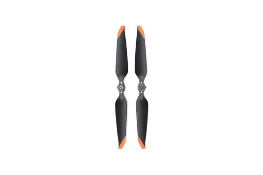
- Propeller Model Number: 9453F Enterprise Edition
- Light Sensor: Built-in module
RGB Camera
- Image Sensor: 4/3 CMOS, Effective Pixels: 20 MP
- Lens:
- FOV: 84°
- Equivalent Focal Length: 24 mm
- Aperture: f/2.8 to f/11
- Focus: 1 m to ∞
- ISO Range: 100-6400
- Shutter Speed:
- Electronic Shutter: 8-1/8000 s
- Mechanical Shutter: 8-1/2000 s
- Max Image Size: 5280×3956
- Photo Shooting Mode:
- Single Shot: 20 MP
- Timelapse: 20 MP
- Panorama: 20 MP
- Video Resolution:
- 4K: 3840×2160@30fps
- FHD: 1920×1080@30fps
- Max Video Bitrate:
- 4K: 130 Mbps
- FHD: 70 Mbps
- Supported File System: exFAT
- Image Format: JPEG/DNG (RAW)
- Video Format: MP4 (MPEG-4 AVC/H.264)
Multispectral Camera
- Image Sensor: 1/2.8-inch CMOS, Effective Pixels: 5 MP
- Lens:
- FOV: 73.91°
- Equivalent Focal Length: 25 mm
- Aperture: f/2.0
- Focus: Fixed Focus
- Multispectral Camera Bands:
- Green (G): 560 ± 16 nm
- Red (R): 650 ± 16 nm
- Red Edge (RE): 730 ± 16 nm
- Near Infrared (NIR): 860 ± 26 nm
- Gain Range: 1x-32x
- Shutter Speed: Electronic Shutter: 1/30~1/12800 s
- Max Image Size: 2592×1944
- Image Format: TIFF
- Video Format: MP4 (MPEG-4 AVC/H.264)
- Photo Shooting Mode:
- Single Shot: 5 MP
- Timelapse: 5 MP
- Video Resolution: FHD 1920×1080@30fps
- Max Video Bitrate: 60 Mbps
Battery
- Capacity: 5000 mAh
- Standard Voltage: 15.4 V
- Max Charging Voltage: 17.6 V
- Battery Type: LiPo 4S
- Chemical System: Lithium Cobalt
- Energy: 77 Wh
- Weight: 335.5 g
- Charging Temperature: 5° to 40° C
Battery Charger
- Input: 100V to 240V (AC), 50Hz to 60Hz, 2.5A
- Output Power: 100 W
- Output:
- Max output power of 100 W (total)
- Dynamic allocation for two interfaces with max output power of one interface at 82 W
RTK Module
- Dimensions: 50.2×40.2×66.2 mm
- Weight: 24±2 g
- Interface: USB-C
- Power: Approx. 1.2 W
- RTK Position Accuracy:
- Horizontal: 1 cm + 1 ppm
- Vertical: 1.5 cm + 1 ppm
In the Box
- 1x Aircraft (RTK module and microSD card installed)
- 1x Remote controller
- 1x Pair of propellers
- 1x Charger
- 1x Power cable
- 1x USB-C cable
- 1x USB-C to USB-C cable
- 1x Carrying case
- 1x Screwdriver
- 1x Manuals

