Gain unparalleled access to each of the drones in your fleet like never before with this must-have software.

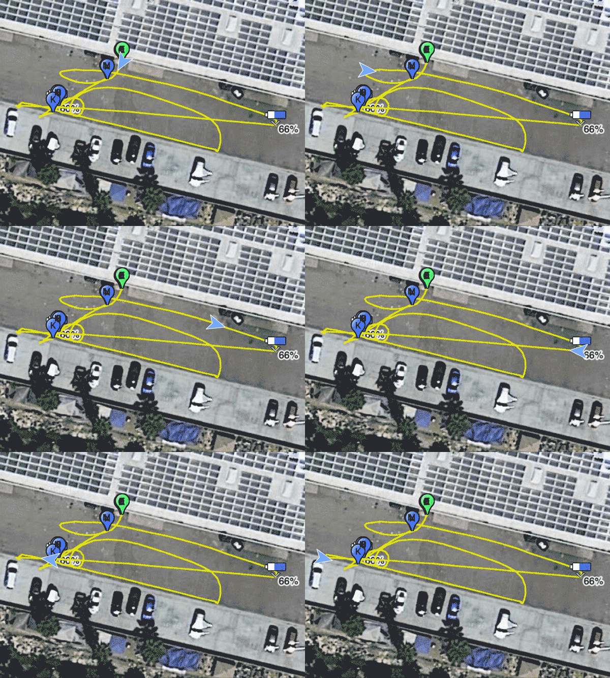
Visually see the entire flight with a 2D model
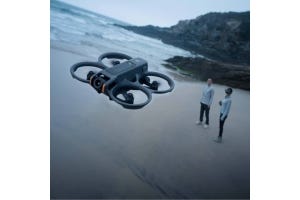
Its early morning and you double press the power button on your company’s drone to turn it on. The cooling fan inside the drone starts to hum as the audible chime brings the drone alive. Its another day of drone flying and its time to take off.
Or is it?
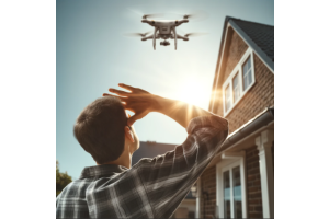
Before you launch your craft, it’s important to know if it’s in good shape. Nobody wants an unpleasant surprise mid-flight.
So- is your company’s craft safe to fly?
How do you know?
It’s important to have detailed insight into the health of each drone in a fleet. Public Safety agencies and commercial drone users want access to as much of this data as possible. This information is used in after-action reports, as training tools, and for maintenance logs. The ultimate goal is to keep their drone fleet in service and pilots informed.
The AirData Drone Management and Flight Analysis platform is designed to help provide as much of this information as possible. It is a must-have software tool for any commercial drone operation. This intuitive program gives public safety agencies and commercial drone businesses unparalleled access to the specific data for each one of the drones in their fleet.
Every time a pilot flies, the drone pilot app is automatically taking in all of the information Airdata Enterprise needs to log and analyze flight missions. Simply link the pilot app with Airdata, and it will translate all the data that the drone provides into an easy to follow log book.
1. View Each Flight in Real Time

Airdata Enterprise allows for multiple pilot accounts, making it easy for the user to see which pilot flew what mission and with what drone. This can be important for after-action reports of stressful missions, crashes, or for use as a training tool to hone pilot skills. The software offers Flight Tracking, giving your drone organization the ability to relive each flight. Easily watch in real time (or choose faster or slower) as each drone retraces its exact flight path along a 2D Google Maps base layer. Watch the control sticks move as they replay every input from the flight, synchronized with the flight path playback.
For a more detailed view, every flight path can even be rendered in 3D, showing all altitude adjustments.

View joystick movement for each flight 
View your drone flight in 3D
The entire time, a running set of metrics lets you see a detailed view of every aspect of your drone’s health and status at each moment of the flight. You can see your speed, height, distance from home, number of satellites, radio signal strength; as well as an incredible amount of information on your battery health- percentage, total voltage, and even voltage broken down by battery cell. You can see every alert or message that appeared during your flight.

Rapid drone data creation and interpretation with Airdata 
Identify areas with poor transmission signal for greater risk mitigation
2. Part 107 Recommends You Keep a Flight Log
If you are not familiar with Part 107, please read this blog. In short, Part 107 is a set of rules for operating a drone commercially (earning money while flying). Drone pilots must pass this test before they can legally offer professional drone services. While flying under a Part 107 does not require you to log all your flight data, keeping a daily flight log is highly recommended. See Advisory Circular 107-2–
“A remote pilot in command, owner, or person manipulating the flight controls of a small unmanned aircraft system must, upon request, make available to the Administrator: . . .(2) Any other document, record, or report required to be kept under the regulations of this chapter.”
AirData makes all of these detailed records easily available.

Each flight shows detailed flight information.
3. Custom Deliverables
This software package provides the ability to make custom reports and deliverables that can be used as templates for future missions and inspections when completed. For industrial drone operators, routine inspections can be easily recorded and documented within the mission logbook to give greater visibility into the inspections performed. Not only is it good practice to maintain detailed records, it is the most viable way to protect yourself and your investment; as well as complying with many drone related mandates.
For example, documenting each flight is essential for public safety certificate of authorization (COA) compliance. A COA is an authorization issued by the Air Traffic Organization to a public operator for specific drone operations.
Learn more about COAs at faa.gov.
4. Drone Maintenance Tracking
The Airdata Enterprise software platform is ideal for companies and agencies with multiple drones, batteries and pilots.
Battery life and health degrade over time. Airdata makes it easy to track the charge cycle and usage of each battery and will make recommendations when it is time to replace them. The user can manage all batteries individually, viewing the usage, flight history, and trends of each. They can also set custom equipment alerts based on thresholds/parameters that are set pre-flight, such as battery temperature and battery cell deviations.

Track batteries individually, know when they need to be replaced 
Gain insights to battery performance over time
The AirData Drone Management system gives the organization the ability to easily add drones and accessories to the organization’s enterprise equipment list and annotate equipment changes. This is useful, for example, for notating when certain drones’ propellers or motors were replaced.
Having an alert system for components on such a complex piece of technology as a drone is the responsible thing to do. Think of this as the dashboard in your car; where the check engine or oil maintenance light comes on to remind you of service or component error.


View system alerts from each flight
5. Live Streaming
AirData also provides live streaming services for monitoring flights in real time; giving commercial users and Public Safety Agencies more flexible access to real time data. With low latency of around 1 second, the AirData live streaming feature gives customers the ability to send video quickly and reliably. Data security is an important part of many drone operations, and AirData makes this a priority in their streaming features.
The Airdata mobile app will stream whatever is displayed on the phone/tablet in realtime. This powerful functionality gives the drone operator the flexibility to use whichever flight app they are accustomed to using.
DSLRPros is excited to offer Airdata to our customers; ensuring that pilots have the tools necessary to fly safely, maintain their equipment and protect their investments. To find out if Airdata is right for your drone program, feel free to call for more information!


