DJI is a drone company that has built its reputation around manufacturing the highest quality drones in the market. It’s no surprise that it’s ranked as the best civilian drone manufacturer in the world in the 2022 ranking by Drone Industry Insights (Droneii) – a research firm based in Germany that looked at 500 global companies. You've certainly heard about DJI's drones, but have you heard about their dynamic suite of software solutions that take your images into actionable data?
In this article, we’ll look at the various DJI software, their benefits, and how they enhance what you can do with your drone.
1. DJI Terra

DJI Terra is comprehensive mapping software. It is designed to help industry professionals transform real-world scenarios into digital assets by creating highly detailed 3D models. It enables organizations in the construction, agriculture, and public safety industries among others to capture, visualize and analyze aerial imagery for a variety of applications.
Where precision and efficiency are needed, DJI Terra is the ultimate mapping and modeling solution. It makes it easy for critical industries to make informed decisions with highly efficient data processing.
Benefits of DJI Terra
Besides efficiency, some of the reasons why DJI Terra is considered one of the top drone software packages include:
- Integration: DJI Terra is developed by an Unmanned Aircraft Vehicle (UAV) manufacturer with UAV data in mind. This means a seamless transition between capturing, uploading, and processing data. It is a natural extension of DJI drones and is easily compatible with the latest DJI Enterprise drones.
- Security: Unlike other cloud-based drone mapping software, DJI Terra also has an offline mode in the Electricity and Pro versions that allow users to access paid features without a network connection. This is crucial when handling sensitive data that you don’t want to be shared externally. Online users have to verify permissions before accessing paid features.
- Faster Data Processing: DJI Terra can process 400 images with only 1GB of RAM. The software doesn’t require any special configuration or prior training. Users can efficiently import data from DJI payloads through a simple drag-and-drop process. Once you extract the SD card from the drone, all you have to do is insert it into your computer to import data and process it either as 2D ortho mosaics or 3D realistic models.
- Mission Planning: The software has an intuitive drone mapping platform with all the resources you need to plan and execute missions. It offers multiple route planning methods including 2D mapping, waypoint flight, and oblique mission planning. It also has several adjustable parameters such as speed, altitude, and gimbal pitch angle that give you control over the level of detail in your survey. You can easily automate complex missions with DJI Terra.
- Real-Time Drone Mapping: Lastly, DJI Terra offers real-time mapping. This is critical if you’re running time-sensitive missions and need to make decisions within minutes. It can generate 2D ortho mosaic maps while the drone is flying or even quickly render and visualize a 3D point cloud of the mapped area to determine if more flights are needed to cover any gaps in the model.
DJI Terra is compatible with the new Mavic 3 Enterprise, Mavic 3 Thermal, Mavic 3 Multispectral, Phantom 4 RTK, P4 Pro, P4 Multispectral, Matrice 300 RTK, as well as Zenmuse P1 and Zenmuse L1 payloads.
2. DJI FlightHub 2

FlightHub 2 is a cloud-based drone operations management software that provides full, real-time situational awareness. It is a secure, convenient one-stop shop for all the information needed to plan missions, control fleets, and manage the data generated. The software integrates perfectly with the Matrice 30 Enterprise drone to enable seamless synchronization and coordination between the pilots, backend teams, drones, payloads, and all the data they gather.
Why Choose FlightHub 2
Some of the benefits of FlightHub 2 are:
- One-Tap Panorama Sync: FlightHub2 enables you to create a 360-degree overview and upload it to the cloud with a single tap using the one-tap panorama sync feature. It places the shared panoramas and the coordinates they were captured from on the drone mission 2.5D Base Map so all the team members can have quick aerial awareness.
- Cloud Mapping: The software’s cloud mapping also gives you a better perspective during emergency response planning. It turns images captured by the drone into a map and overlays it on your base map so you can build a mission plan around it. The software also supports Live Annotations for planning rescue routes.
- Alerts: Additionally, FlightHub 2 automatically triggers alerts in case of abnormal conditions that could interfere with equipment integrity or the flight mission. These include strong winds and heavy rains.
FlightHub2 is compatible with DJI M30 Series, M300 RTK and H20 payloads, Mavic 3 Enterprise Series, as well as DJI Dock.
3. DJI Thermal Analysis Tool

The DJI Thermal Analysis Tool is used to analyze and process thermal images. It identifies the temperature information of critical target areas and pinpoints temperature abnormalities. It enables DJI Mavic 2 Enterprise Advanced and DJI Zenmuse H20T operators to process and analyze their radiometric thermal drone imagery.
Benefits of the DJI Thermal Analysis Tool
The DJI Thermal Analysis Tool is designed to help professionals in industries such as inspection, search and rescue, and firefighting to analyze data captured by thermal DJI drones such as the DJI Mavic 3 Thermal.
Some of the benefits of this tool include:
- Accurate Temperature Measurement: The DJI Thermal Analysis Tool allows users to accurately measure temperatures from thermal images captured by DJI drones. This is essential for industries such as building inspection and firefighting, where accurate temperature readings are critical for identifying potential hazards.
- Efficient Data Analysis: It also allows users to quickly and efficiently analyze large volumes of thermal data, for more informed real-time decision-making in critical situations. The tool provides advanced analytics, including temperature measurement, temperature trend analysis, and isotherm mapping.
- Improved Safety: By helping in identifying potential hazards such as gas leaks, electrical faults, and hotspots, the DJI Thermal Analysis Tool helps to improve safety. It helps to prevent accidents and ensure that workers are not exposed to dangerous conditions.
- Simplified Data Sharing: The software makes it easy for users to share thermal data with team members or clients. This is particularly useful for industries such as construction and infrastructure, where thermal data can be used to identify potential problems or defects.
- Enhanced Drone Capabilities: The DJI Thermal Analysis Tool can be used in combination with DJI's thermal cameras, allowing users to take advantage of advanced drone features such as automated flight planning, live video streaming, and thermal video recording.
The software is compatible with all DJI thermal drones, such as the Mavic 3 Thermal and DJI Zenmuse H20T.
Learn how to analyze thermal images using the DJI Thermal Analysis Tool.
4. DJI SmartFarm

The DJI SmartFarm is a web-based, cloud-based agricultural drone platform (SaaS) that provides end-to-end support for agricultural operations, from device management to data display, team collaborations, and field sharing, among others. It makes spraying and spreading easy to manage and more efficient. The platform enables farmers and agricultural service providers to track all their operations in one place in real time—anywhere, anytime.
Why You Should Use the DJI SmartFarm
Benefits of using the DJI SmartFarm include:
- Precise Crop Spraying: As mentioned, the DJI SmartFarm allows for precise crop spraying operations. The drones can be equipped with specialized spraying equipment and the tool used to control the areas in which herbicides and pesticides are applied to. It ensures that they are applied only where needed, reducing the environmental impact.
- Improved Crop Monitoring: With the DJI SmartFarm, farmers can capture high-resolution aerial images of their fields for real-time monitoring of crop health, identifying potential issues, such as pest infestations or nutrient deficiencies, early on.
- Increased Efficiency: It also automates tasks such as flight planning, data analysis, and report generation. This frees up time for farmers to focus on other aspects of their operations, such as irrigation, harvesting, and marketing.
- Reduced Labor Costs: With the DJI SmartFarm, farmers can cover large areas quickly and efficiently, reducing the need for manual labor. This not only saves time, but also reduces the cost of hiring and training workers.
Learn more about the technologies for agriculture inspection.
Unlock New Capabilities for Your Aerial Projects
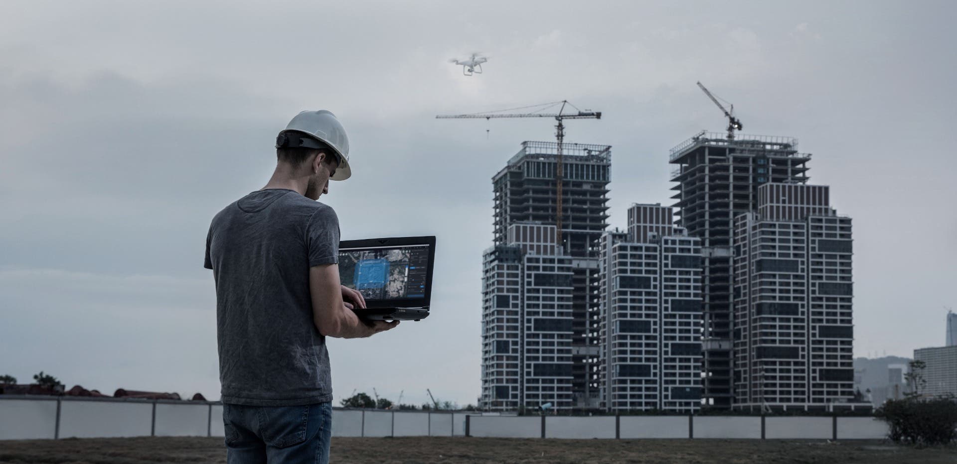
In conclusion, DJI is more than just a manufacturer of high-quality drones. It has also developed a range of software applications that will take your drone experience to the next level. From enhancing the creative capabilities of drone pilots with DJI Terra, to streamlining agricultural workflows with DJI SmartFarm, the company's software products have become essential tools for many industries. Moreover, DJI has shown a commitment to continuously improving its software offerings by focusing on innovation and user satisfaction.
Whichever industry you’re in, you can leverage the power of DJI's software to unlock new capabilities for your aerial projects. Speak to a DSLRPros experienced drone expert about which tools are suitable for your projects.
Contact us today.

