
Welcome to DSLRPros Drone Shop
-
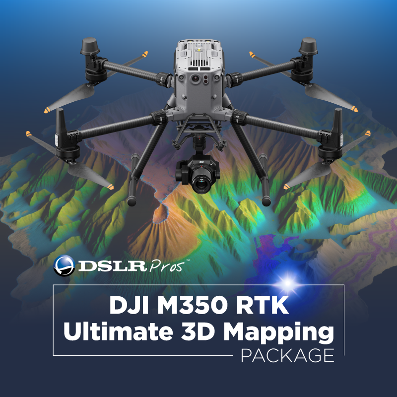
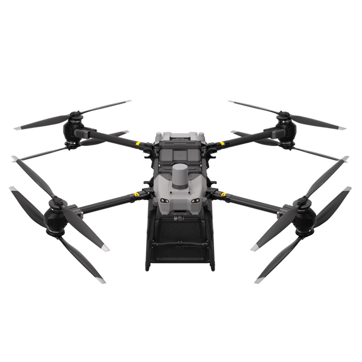
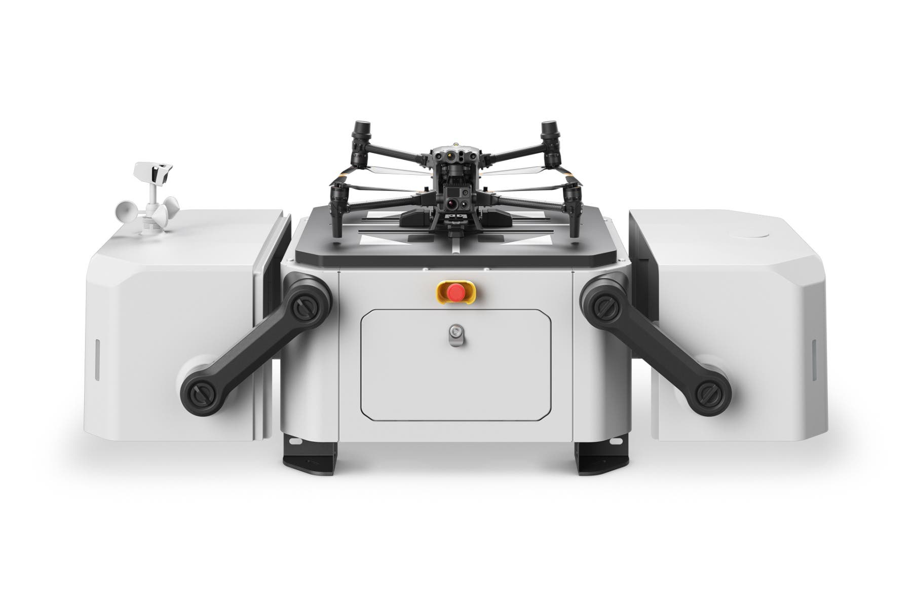 DJI Dock
As low as $33,341.00
-
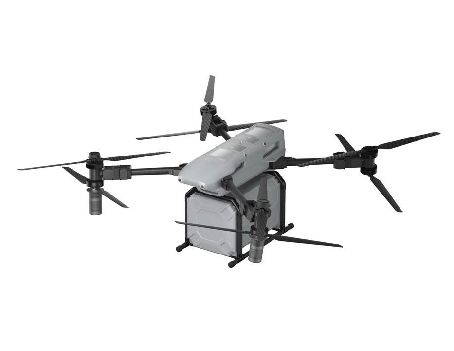
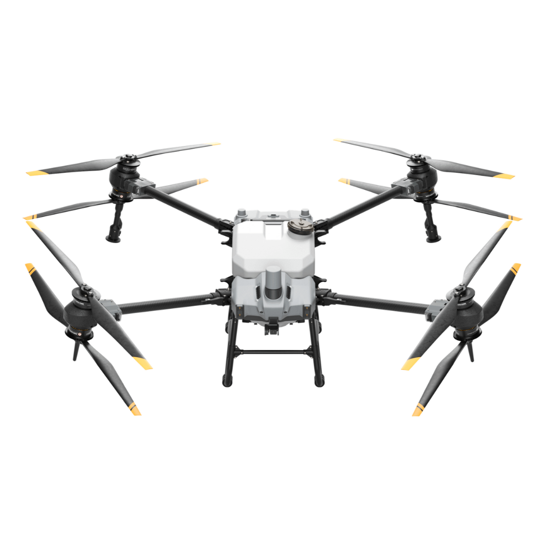 DJI Agras T40 V3 with 65W Charger Combo
As low as $19,999.00
-
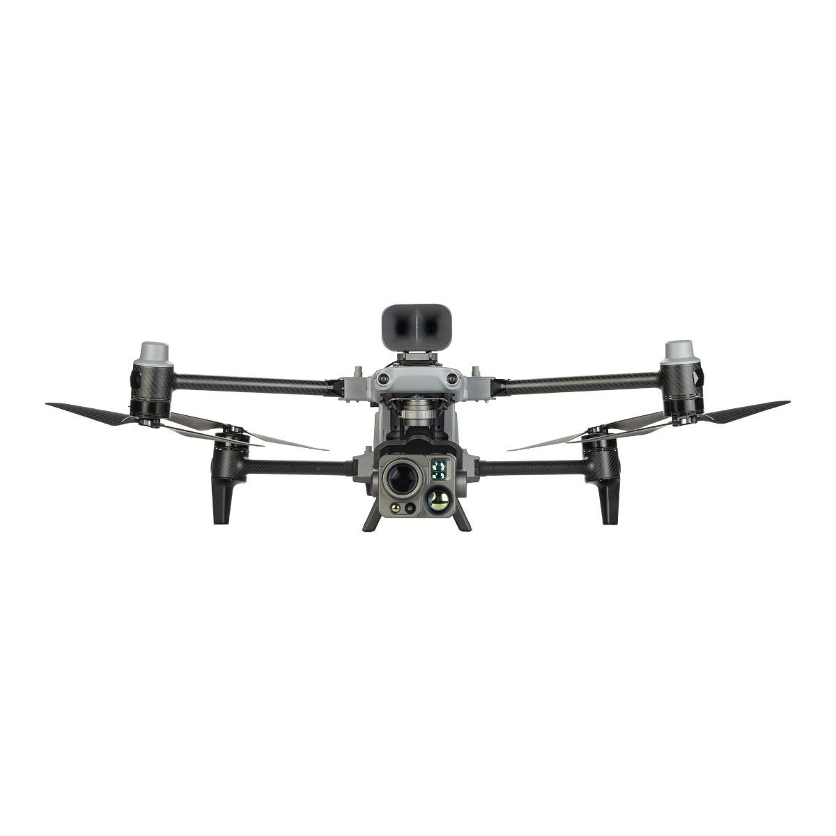
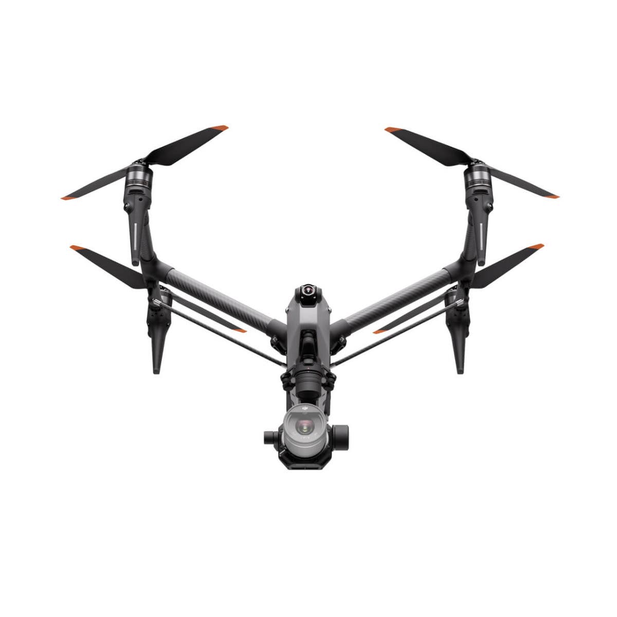 DJI Inspire 3
As low as $16,499.00
-
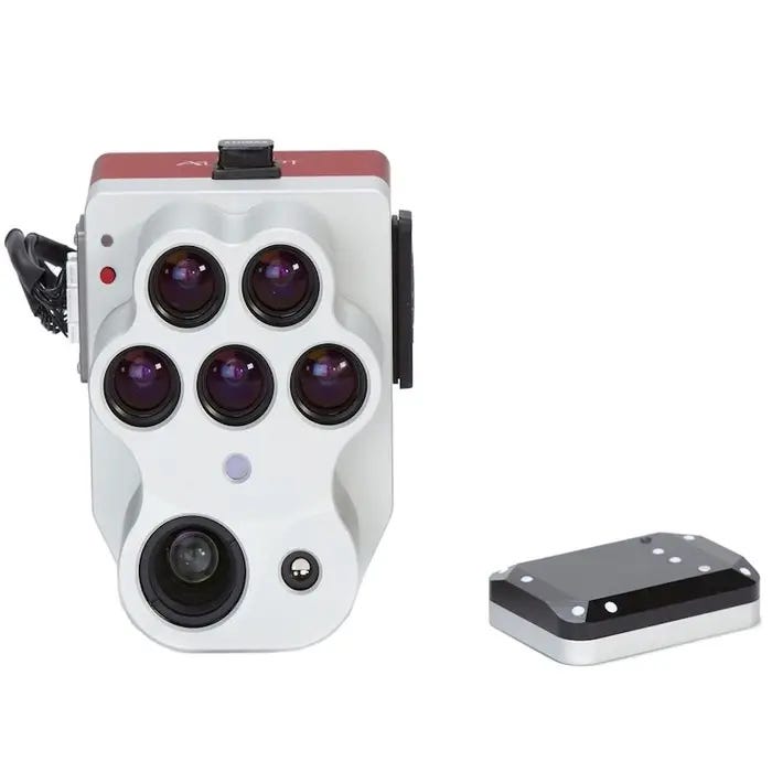
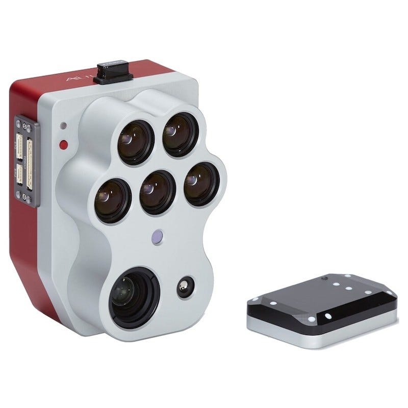 MicaSense Altum PT$15,995.00
 -
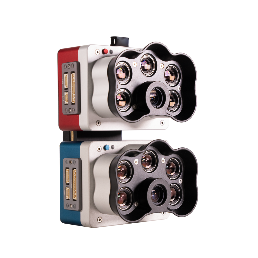 MicaSense RedEdge-P Dual Multispectral Kit$15,995.00


Why DSLRPros is the best enterprise drone shop
With over 10 years of experience in the business, we have become the leading drone shop in the US, helping organizations find the perfect products for their unmanned aerial vehicle (UAV) needs.
Since becoming the first drone store to put a FLIR thermal camera on the DJI Phantom 2 back in 2014, we have continued to expand our inventory to include advanced UAV solutions only from trusted drone and thermal tech brands.
Drone technology is constantly evolving, and we stay on top of the latest industry advancements to ensure that we offer the latest products and curate custom enterprise bundles you can't find anywhere else.
When you shop at DSLRPros Drone Store, you can be confident you're getting the best professional drone packages, accessories, and repair services on the market—whether you're a beginner or an experienced pilot.
DSLRPros Highlight Reel: